FLAT 4
16 LADBROKE GARDENS, LONDON, GREATER LONDON W11 2PT
Property details
Floor area
61 m²
Council tax band
E
Year built
England and Wales: 1900-1929
Deprivation
Decile 5 (16,105 of 33,755)
Street crime
1706 incidents within 1 mile (Apr 2026)
Key features
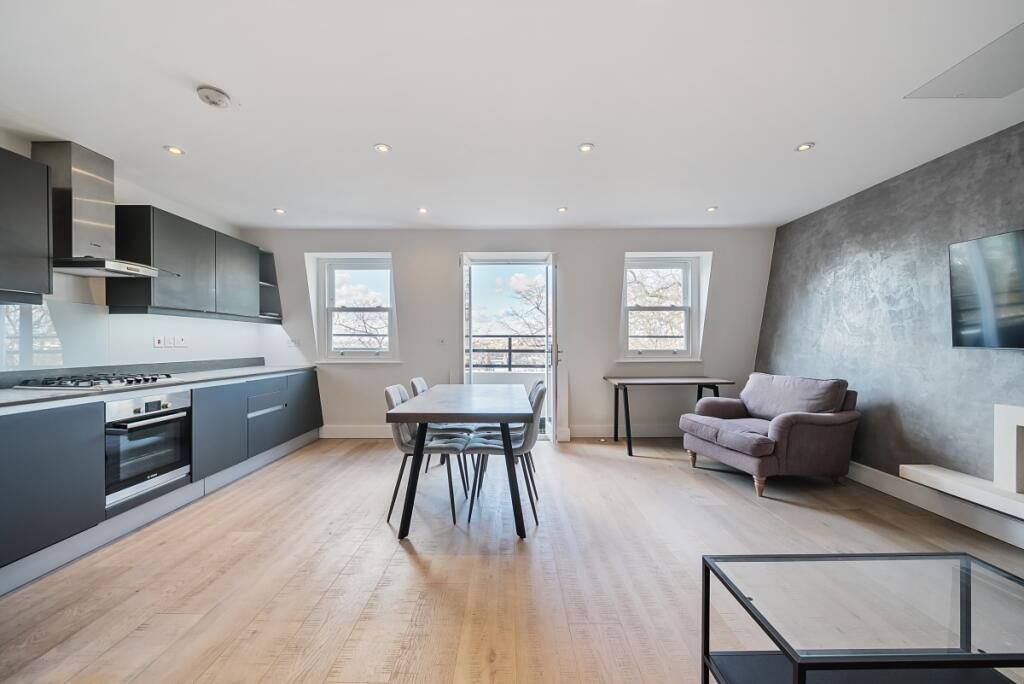
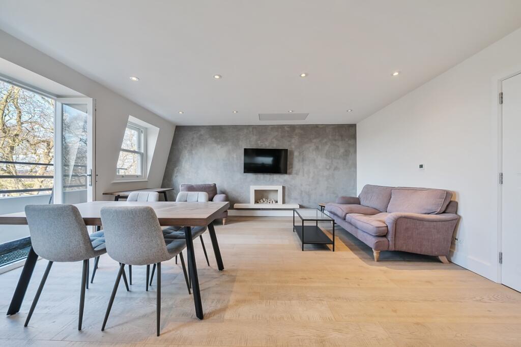
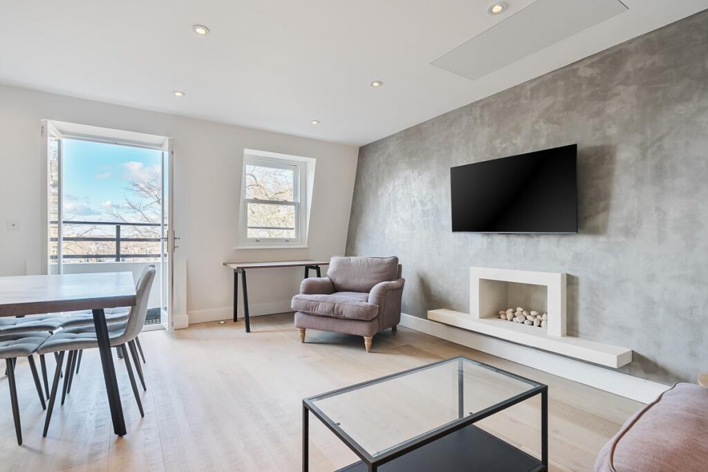
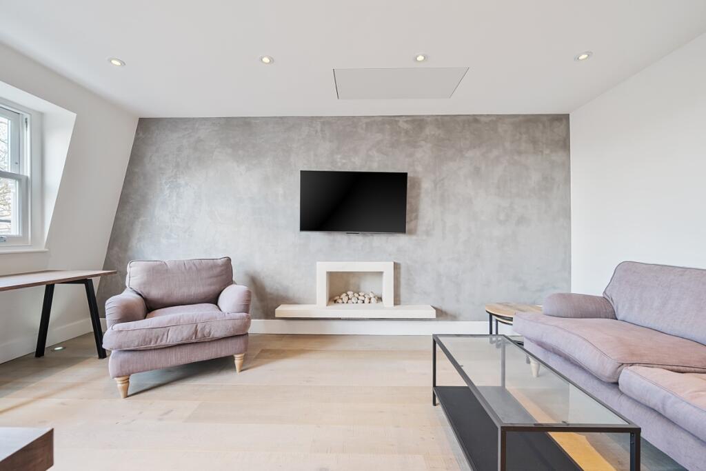
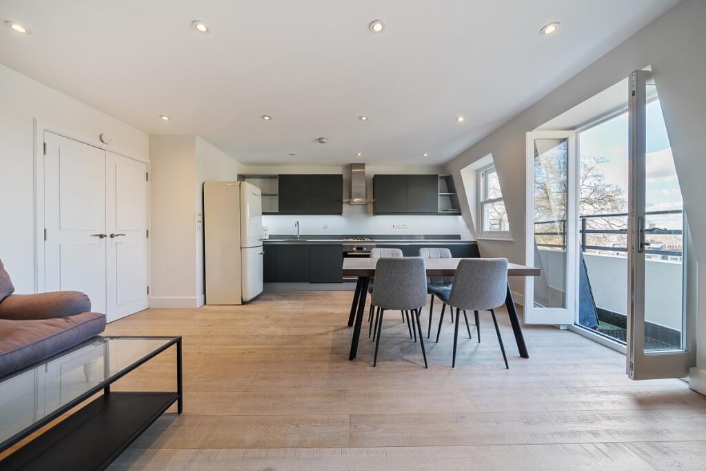
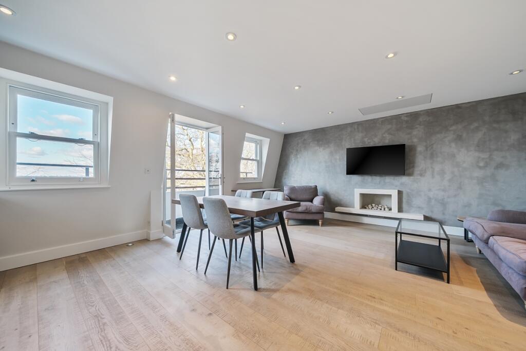
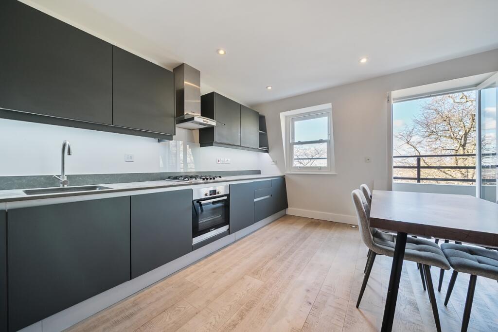
- Open Plan Kitchen/ Reception
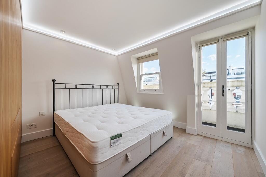
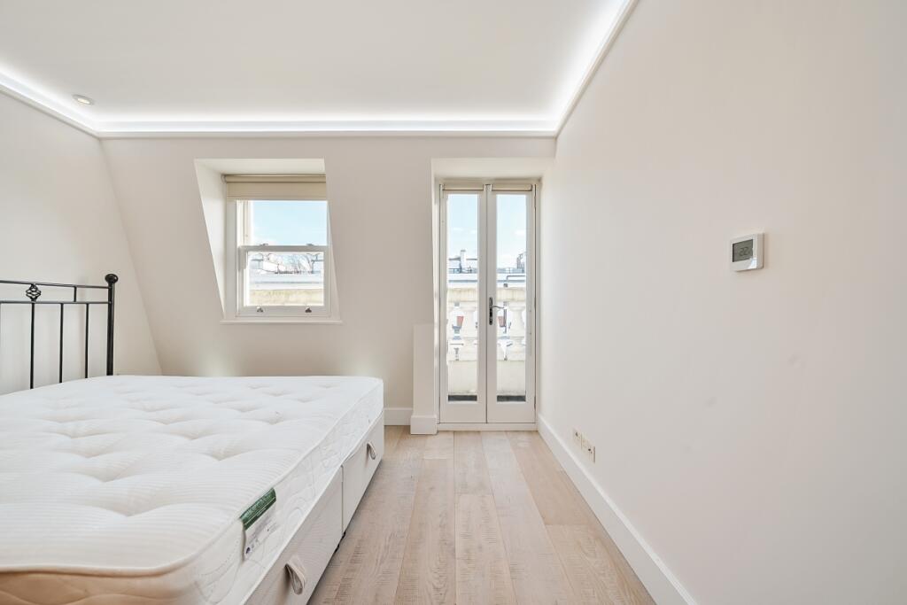
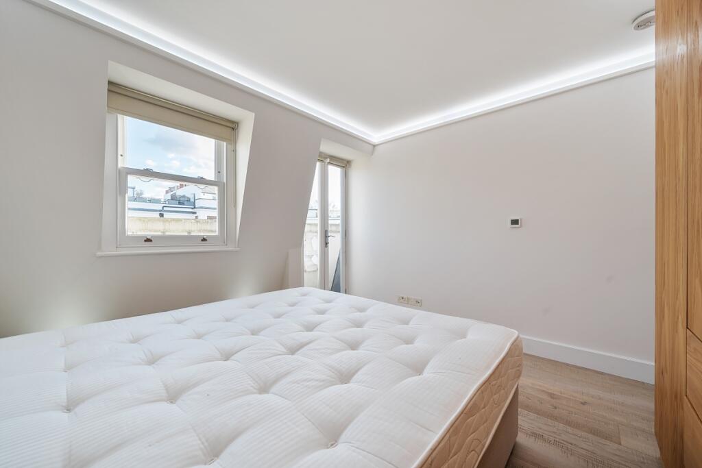
- Double Bedroom
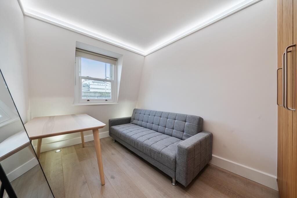
- Second Bedroom
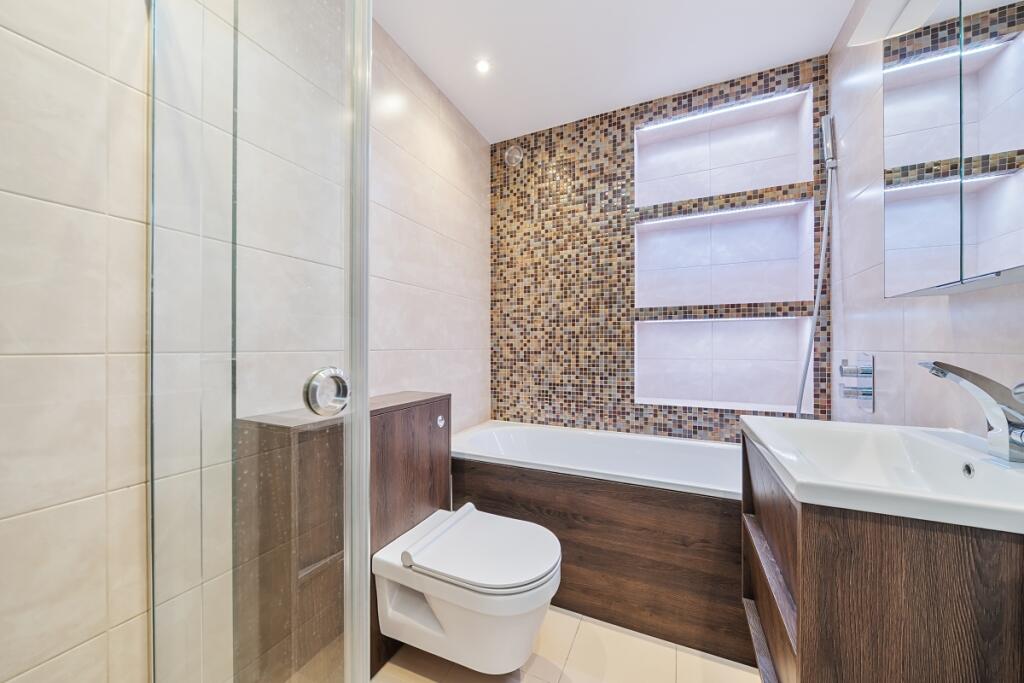
- Bathroom
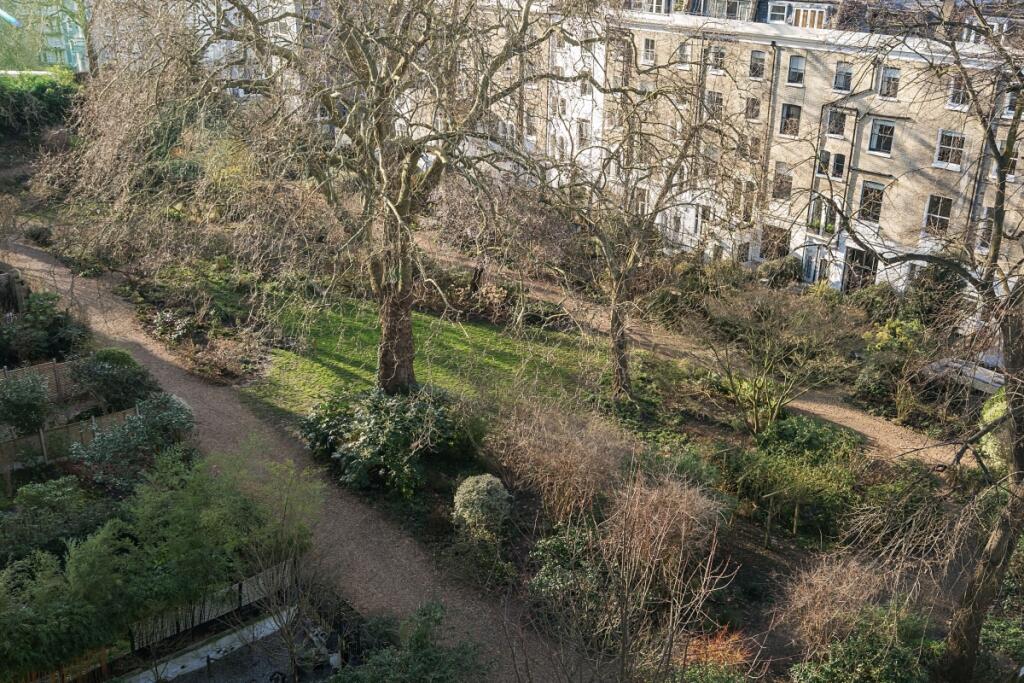
- Communal Garden
- Wooden Floors
- Fourth Floor (Top Floor)
Additional details
- Garden
- Communal garden
Description
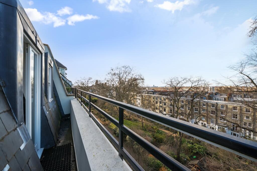
The property boasts wooden floors in the reception room, which offers a spacious open plan kitchen/reception living space.
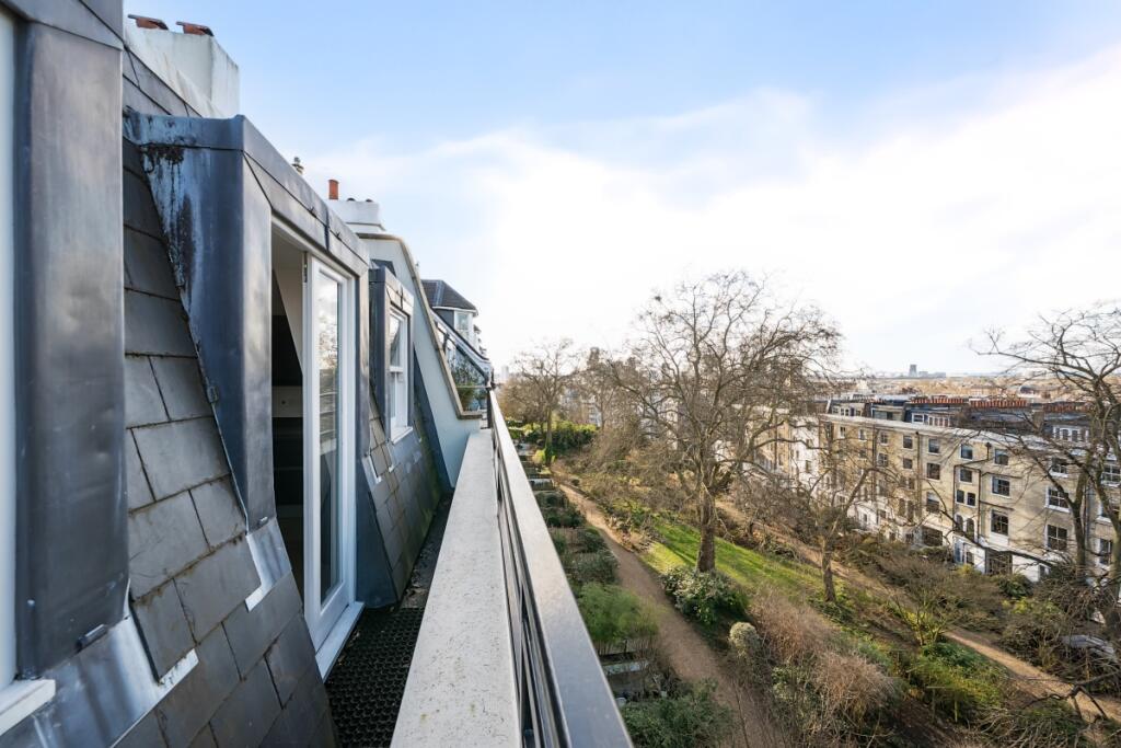
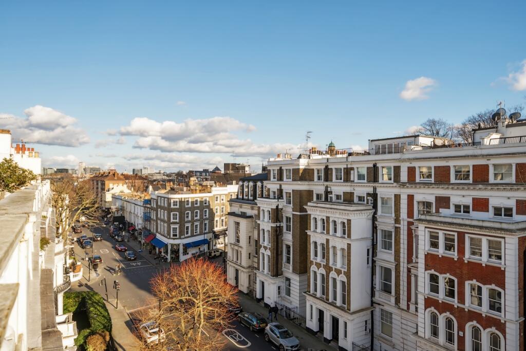
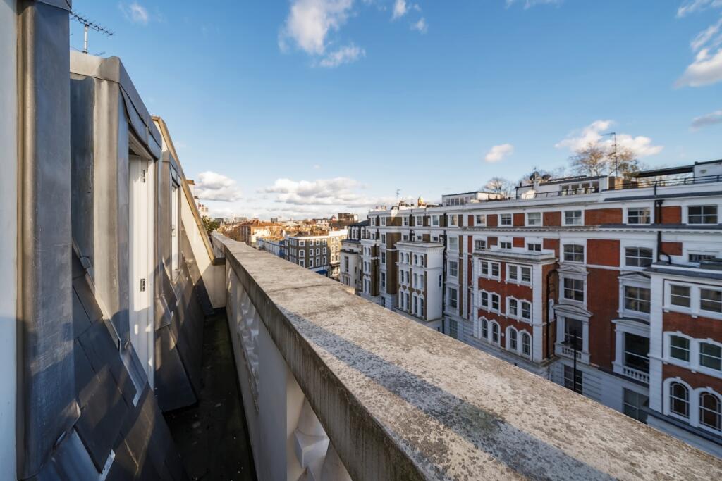
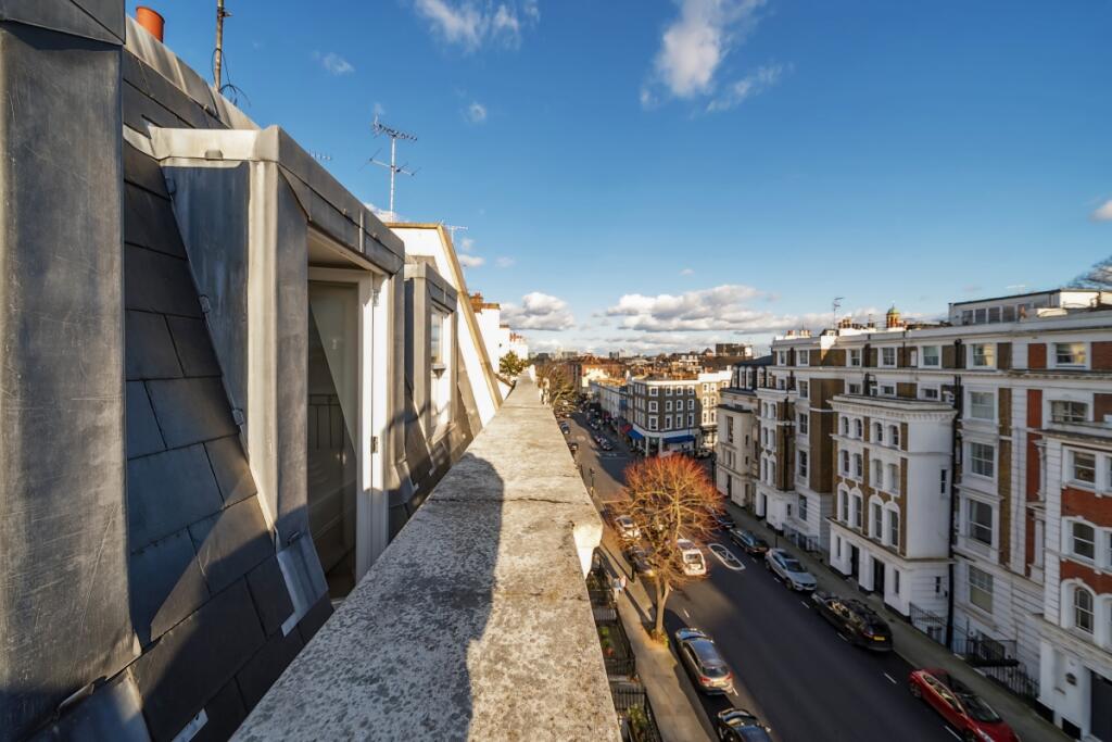
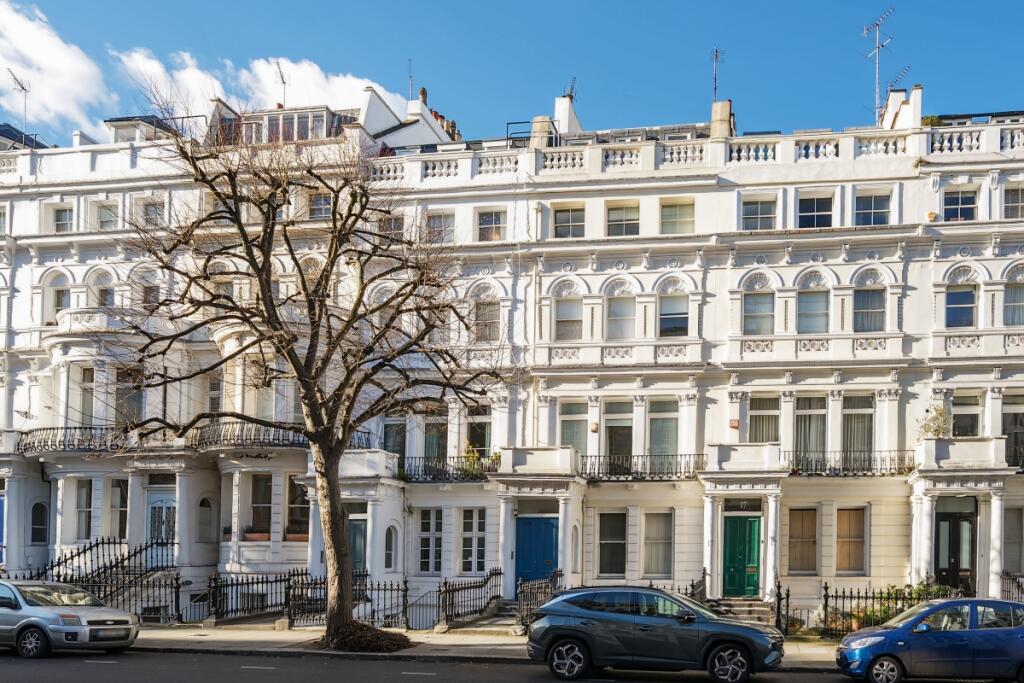
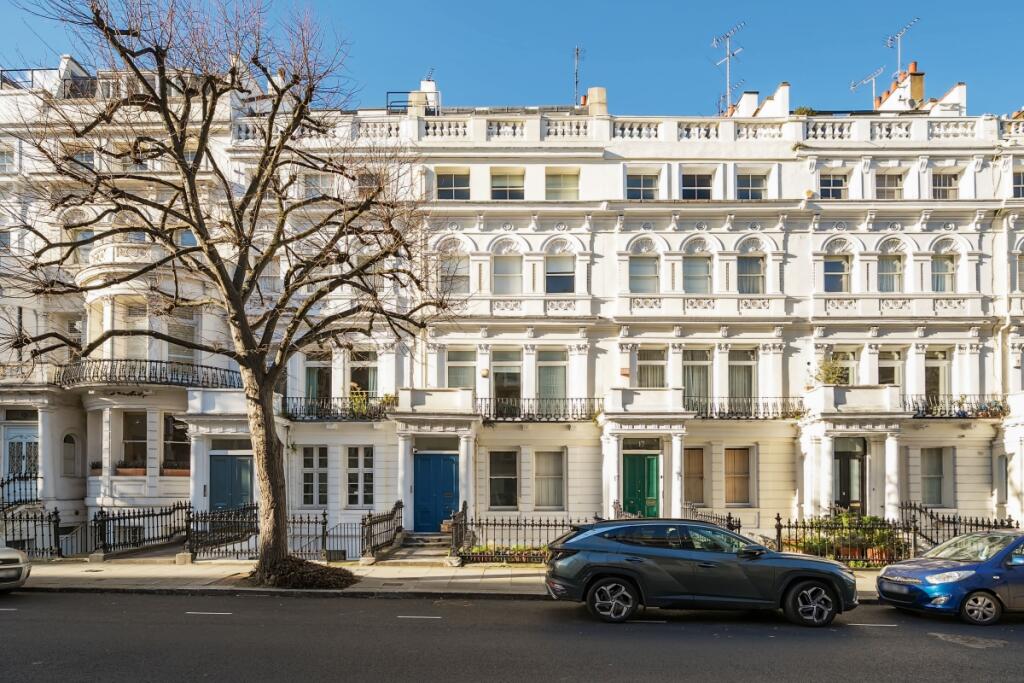
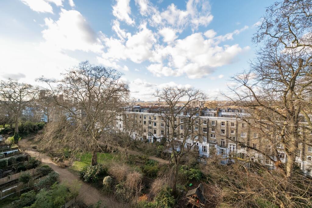
The main bedroom has fitted wardrobes as well as a window door overlooking Ladbroke Gardens and the pleasant views across the varying architecture of Notting Hill . With a second double bedroom/home study and large bathroom. Tenants also have access to beautiful communal gardens. To check broadband and mobile phone coverage please visit Ofcom here ofcom.org.uk/phones-telecoms-and-internet/advice-for-consumers/advice/ofcom-checker
Listed by
Notting Hill
Countrywide Hamptons Lettings - Connells
Reference: 158684210
EPC Rating & Upgrade Cost
Fetching EPC data… Refresh this page in a moment.
Flood risk
Zone: 1
Risk: Low
Not in Flood Risk Area (no data)
Floorplans
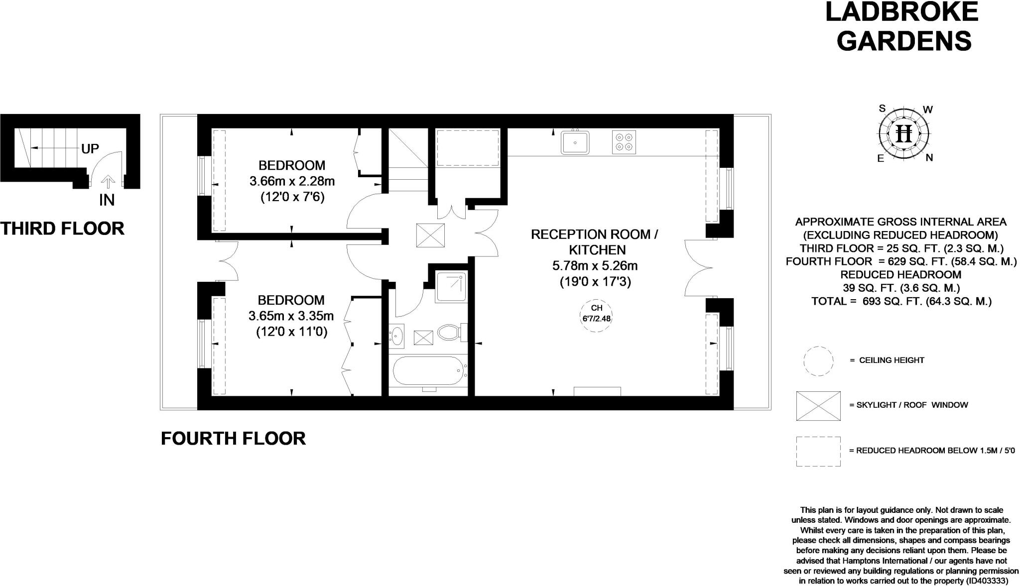
Floor Plan
EPC Graphs
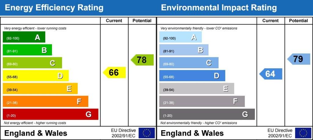
EPC
Rental Range
Estimated market rent for Kensington and Chelsea. Low = conservative, Realistic = average, Optimistic = best case.
Based on Local Authority from postcode lookup → Kensington and Chelsea.
LHA (30th percentile) floor for Stevenage & North Herts: £972/mo (Apr 2025 – Mar 2026)
Location
Nearby
Nearest stations, universities and amenities (distance from property).
| Type | Name | Distance |
|---|---|---|
| Shop | Kensington Park Drycleaners | 0.1 miles |
| Shop | Agent Provocateur | 0.1 miles |
| Bus stop | Portobello and Golborne Market | 0.1 miles |
| Bus stop | Elgin Crescent | 0.1 miles |
| Train station | Ladbroke Grove | 0.4 miles |
| Train station | Holland Park | 0.4 miles |
| University | Scale Space White City | 0.8 miles |
| University | Kennet West Skills Centre | 0.9 miles |
| Hospital | The Portland Hospital | 2.7 miles |
| Hospital | Sleep & Health Clinic | 2.9 miles |
Street-level crime
| Category | Count |
|---|---|
| Anti-social behaviour | 360 |
| Violence and sexual offences | 355 |
| Shoplifting | 331 |
| Other theft | 140 |
| Public order | 112 |
| Vehicle crime | 81 |
| Theft from the person | 72 |
| Burglary | 67 |
| Drugs | 64 |
| Criminal damage and arson | 51 |
| Robbery | 27 |
| Bicycle theft | 26 |
| Other crime | 10 |
| Possession of weapons | 10 |
| Total incidents | 1706 |
Within 1 mile during Apr 2026. Source: data.police.uk (England & Wales).
Schools nearby
Nearest open schools with Ofsted ratings (England). Closed schools are not shown. Data from Get Information about Schools and Ofsted.
| Name | Type | Distance | Ofsted |
|---|---|---|---|
| Colville Primary School | Primary | 0.2 miles | Outstanding — 11 Mar 2019 |
| The Stewart Bilingual School | Other | 0.2 miles | — (No rating) |
| Notting Hill Prep School | Other | 0.3 miles | — (No rating) |
| Thomas Jones Primary School | Primary | 0.3 miles | Outstanding — 3 Dec 2023 |
| Chepstow House School | Other | 0.3 miles | Outstanding — 9 Feb 2018 |
Rental Comparables
Residential lets from OpenRent and Rightmove for the area (same bedroom count). Use to validate rent estimates. Student lets are excluded.
| Title | Rent | Beds | Distance | As seen on |
|---|---|---|---|---|
| 2 Bed Flat, Talbot Road, W2 | £4,250/mo | 2 | 0.37 miles | OpenRent |
| 2 Bed Flat, Aldridge Road Villas, W11 | £3,142/mo | 2 | 0.47 miles | OpenRent |
Average rent: £3,696/mo (2 listings)