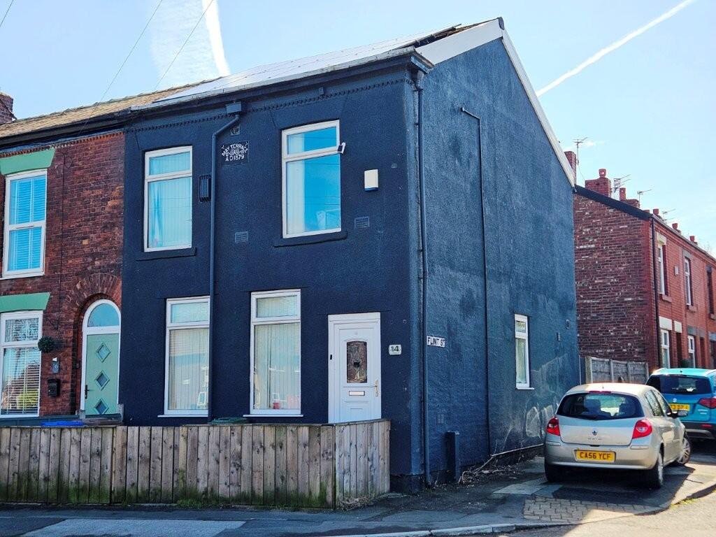
14 MOORSIDE STREET
MANCHESTER, DROYLSDEN, GREATER MANCHESTER M43 7XB
20260402_120007.jpg 1000052900.jpg 8b89fcebb4e2eb1bdfd80ed0c35e7d39.jpg IMG-20260402-WA0003.jpg IMG-20260402-WA0010.jpg 1000052896.jpg f6037f054ae9bd5bb909fd69560d59af.jpg 1000040712.jpg 20260402_115306.jpg 1000052898.jpg IMG-20260402-WA0009.jpg 05591f4cebcde7a85e5374a3874d5011.jpg a226783dcdb3961c2d4737e77fbb8e51.jpg 20260402_114550.jpg 49a60950c7439c9cc27d11deeafe4391.jpg IMG-20260402-WA0007.jpg a0788ee45c69bd9cda07f04b5373f5ff.jpg
/ 17
Property details
Tenure
FREEHOLD
Floor area
97 m²
Council tax band
A
EPC rating
B
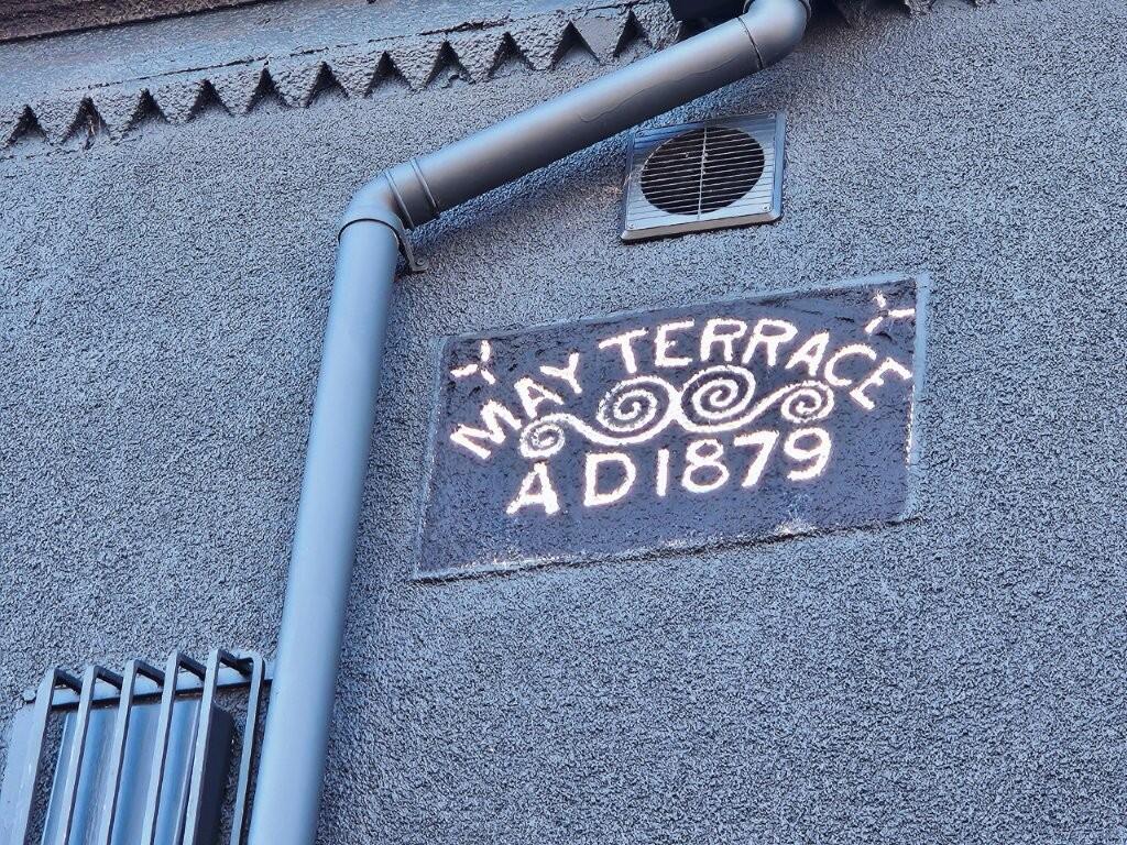
Year built
England and Wales: 1900-1929
Last sold
£186,000 Sep 2023
Price per m²
£2,577/m²
Local average
£201,965 (+23.8%)
Deprivation
Decile 4 (11,110 of 33,755)
Street crime
0 incidents within 1 mile (May 2026)
Key features
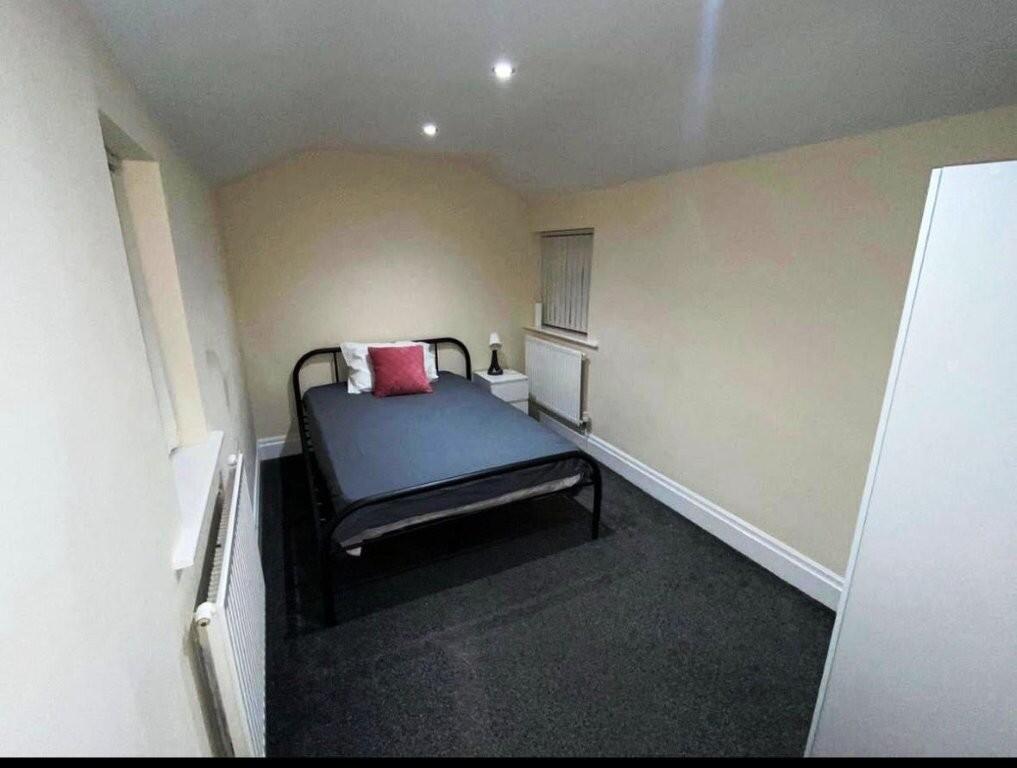
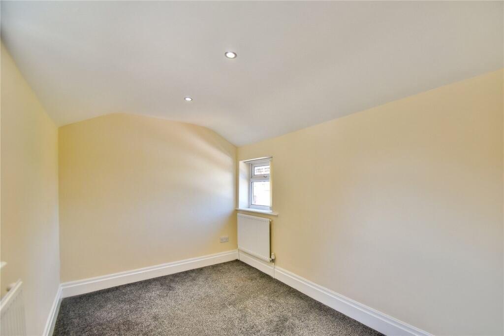
- Viewings Highly Reccommended.
- EPC Rating B.
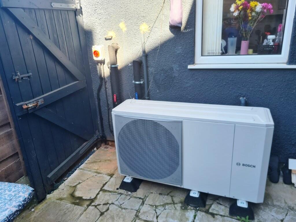
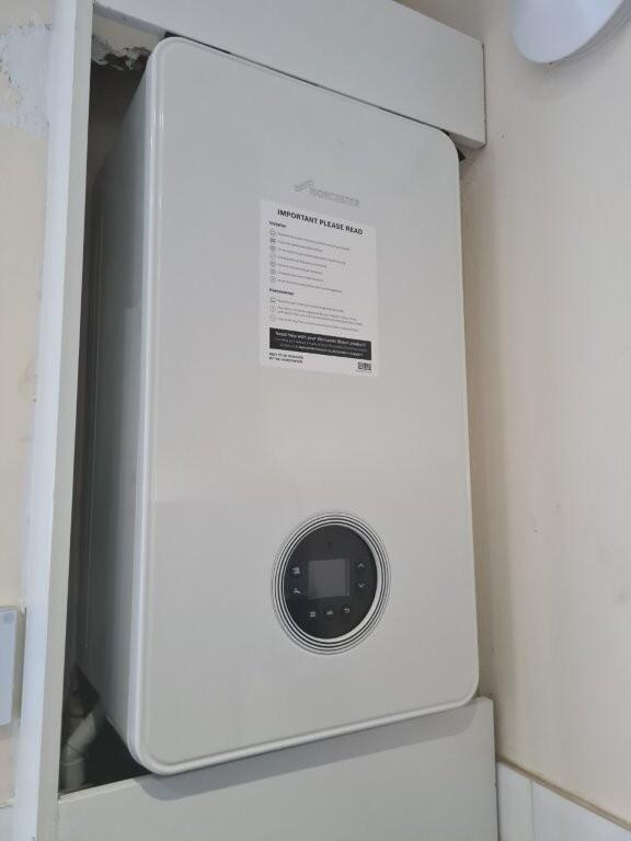
- GCH & Double glazed.
- Close to local amenities.
- Ready to move into.
- FTB-Family or BTL Investment.
Additional details
- Garden
- Back garden
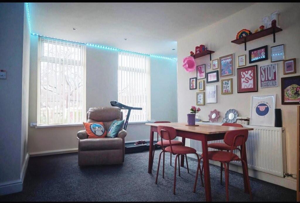
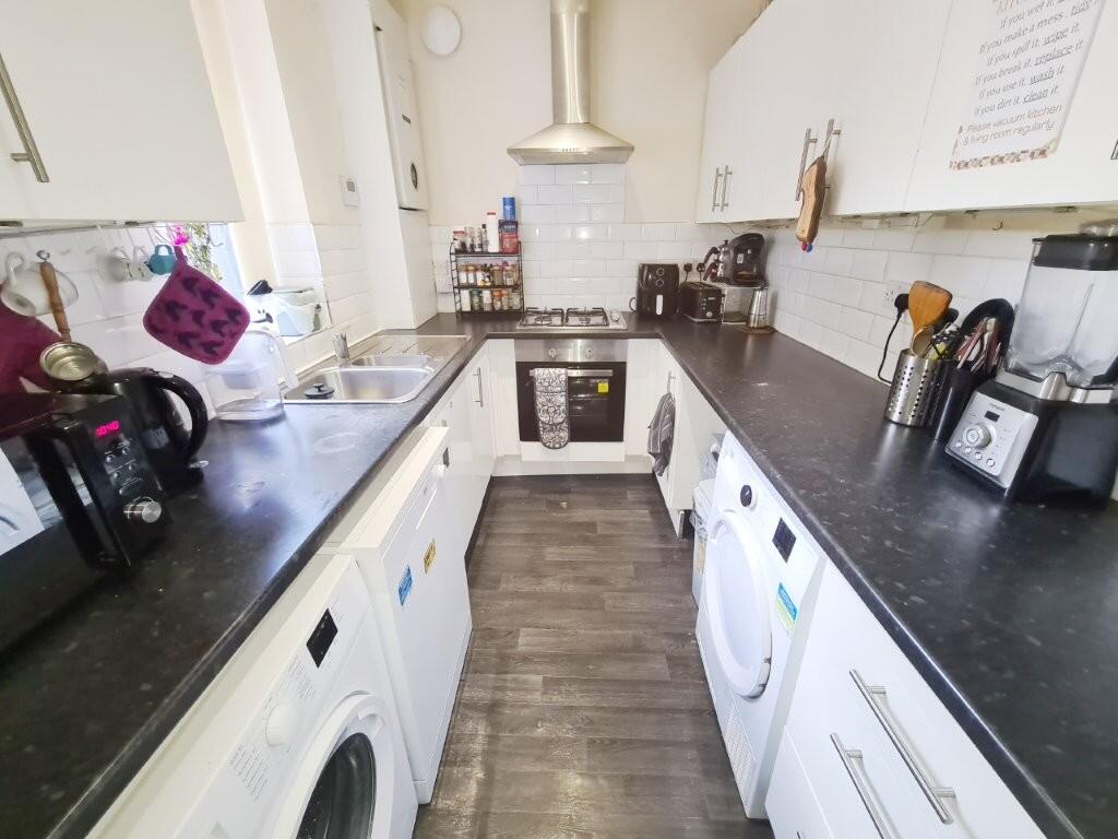
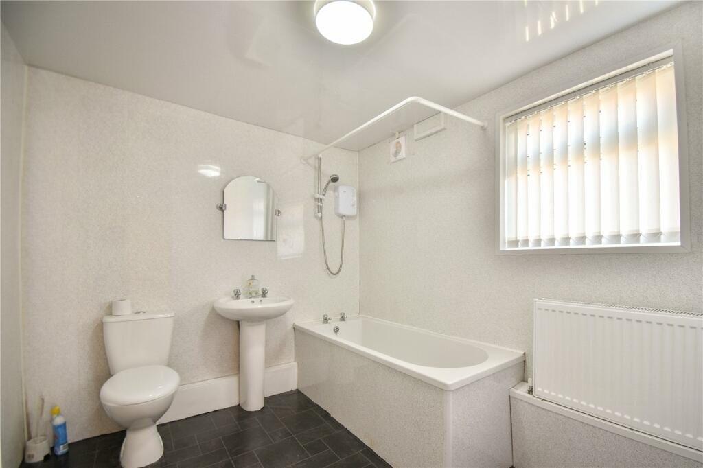
Description
Listed by
Droylsden
Edward Mellor Ltd
Reference: 174047939
EPC Rating & Upgrade Cost
Current rating: B
Potential rating: B
Inspection date: 28/03/2026
Expiry date: 27/03/2036
Current heating cost: £819/year
Potential heating cost: £819/year
Flood risk
Zone: 1
Risk: Low
Job (default Low)
Floorplans
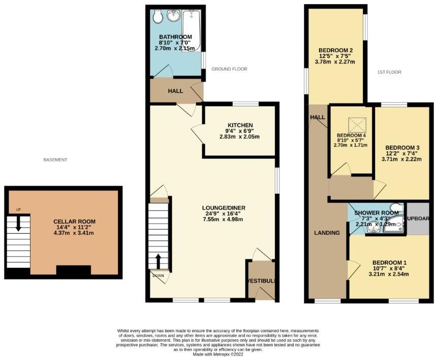
14MoorsideStreetDroylsdenM437XB-High.jpg
EPC Graphs

EPC epcgraph.co.uk
Price history
675% since 2001
| Event | Date | Price | % change |
|---|---|---|---|
| Listed for sale | — | £250,000 | +34.4% |
| Sold | 22/09/2023 (2 years ago) | £186,000 | +61.7% |
| Sold | 30/11/2016 (9 years ago) | £115,000 | +54.4% |
| Sold | 25/04/2005 (21 years ago) | £74,500 | +86.3% |
| Sold | 19/10/2004 (21 years ago) | £40,000 | +66.7% |
| Sold | 15/06/2001 (25 years ago) | £24,000 | — |
Source: HM Land Registry Price Paid Data. Crown copyright.
Sold Comparables
Same street and nearby sales within 0.25 miles (last 5 years). Data from Land Registry Price Paid.
| Address | Price | Date | Type |
|---|---|---|---|
| 24 OLDHAM STREET, DROYLSDEN, MANCHESTER, TAMESIDE, GREATER MANCHESTER, M43 7EN | £120,000 | 11/12/2023 | Terraced |
| 2 FLINT STREET, DROYLSDEN, MANCHESTER, TAMESIDE, GREATER MANCHESTER, M43 7HA | £166,000 | 12/08/2022 | Terraced |
| 6 MOSS STREET, DROYLSDEN, MANCHESTER, TAMESIDE, GREATER MANCHESTER, M43 7DD | £205,000 | 31/03/2022 | Terraced |
| 1 FOLD AVENUE, DROYLSDEN, MANCHESTER, TAMESIDE, GREATER MANCHESTER, M43 7DE | £97,000 | 14/01/2022 | Terraced |
| 6 ROYAL AVENUE, DROYLSDEN, MANCHESTER, TAMESIDE, GREATER MANCHESTER, M43 7HF | £96,000 | 14/01/2022 | Terraced |
| 64 MOORSIDE STREET, DROYLSDEN, MANCHESTER, TAMESIDE, GREATER MANCHESTER, M43 7HB | £177,000 | 30/07/2021 | Terraced |
Area average: £143,500 (6 sales)
Capital growth trend
Land Registry outcode average: last 12 months vs 5y and 10y ago (from sold prices).
House Price Index (HM Land Registry — official index, not sold-price averages): Tameside. Series: Terraced. As of April 2026.
Rental Range
Estimated market rent for Tameside. Low = conservative, Realistic = average, Optimistic = best case.
Based on Local Authority from postcode lookup → Tameside.
LHA (30th percentile) floor for Richmond & Hambleton: £828/mo (Apr 2025 – Mar 2026)
Location
Nearby
Nearest stations, universities and amenities (distance from property).
| Type | Name | Distance |
|---|---|---|
| Bus stop | Moorside Street/Thornhill Road | 0.0 miles |
| Bus stop | Market Street/Oldham Street | 0.1 miles |
| Shop | B&M Bargains | 0.4 miles |
| Shop | Poundland | 0.4 miles |
| Train station | Fairfield | 1.0 miles |
| Train station | Guide Bridge | 1.3 miles |
| Hospital | Tameside General Hospital | 2.9 miles |
| Hospital | Shiv Lodge Medical Centre | 3.3 miles |
| University | UCEN Manchester (Shena Simon Campus) | 4.0 miles |
| University | University of Manchester Fallowfield Campus | 4.1 miles |
Street-level crime
| Category | Count |
|---|---|
| Total incidents | 0 |
Within 1 mile during May 2026. Source: data.police.uk (England & Wales).
Schools nearby
Nearest open schools with Ofsted ratings (England). Closed schools are not shown. Data from Get Information about Schools and Ofsted.
| Name | Type | Distance | Ofsted |
|---|---|---|---|
| Moorside Primary School | Primary | 0.2 miles | Good — 10 Sep 2024 |
| St Stephen's RC Primary School, a Voluntary Academy | Primary | 0.3 miles | Good — 15 Jun 2022 |
| St Mary's CofE Primary School | Primary | 0.4 miles | Good — 9 Oct 2014 |
| Aldwyn Primary School | Primary | 0.5 miles | Good — 21 Feb 2013 |
| Greenside Primary School | Primary | 0.5 miles | Good — 12 Mar 2023 |
Rental Comparables
Residential lets from OpenRent and Rightmove for the area (same bedroom count). Use to validate rent estimates. Student lets are excluded.
| Title | Rent | Beds | Distance | As seen on |
|---|---|---|---|---|
| 4 Bed Terraced House, Windsor Road, M43 | £1,380/mo | 4 | 1.17 miles | OpenRent |
Average rent: £1,380/mo (1 listing)
Rent-driven metrics
Based on OpenRent comparables.
- Rent ratio — Monthly rent ÷ purchase price (1% rule). 1%+ = strong, 0.8–1% = okay, <0.8% = weak for cashflow.
- Max investor price — Rent ÷ 0.8%; the price at which rent would be 0.8% of price (Stoke-style target).
- Target investor price — Rent ÷ 1%; the price at which rent would be 1% of price (strong cashflow band).
- Gross yield — Annual rent as % of purchase price (no costs).
- Cost-to-rent — Price ÷ annual rent (from OpenRent comparables). Under 14× = strong, 14–16× = acceptable, 17×+ = compressed.
- Cashflow — Rent minus mortgage, 10% maintenance, £25/mo compliance. Assumes 75% LTV, 3.95% APR (5yr fixed), 25yr term.
- ROI — Annual profit ÷ cash in (deposit + 4% purchase costs).