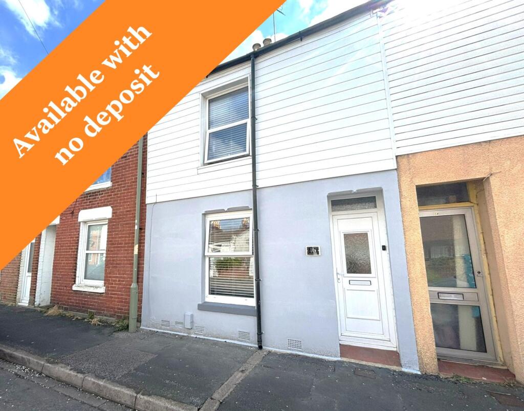
16 MELVILLE ROAD
GOSPORT, GOSPORT, HAMPSHIRE PO12 4QX
£1,300 pcm
Property details
Floor area
70 m²
Council tax band
B
EPC rating
C
Year built
England and Wales: 1900-1929
Deprivation
Decile 5 (13,607 of 33,755)
Street crime
183 incidents within 1 mile (Apr 2026)
Key features
- Available June
- No deposit option
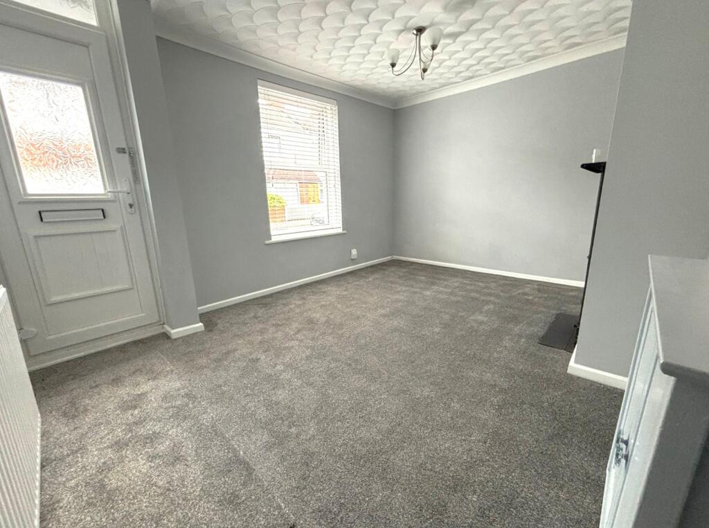
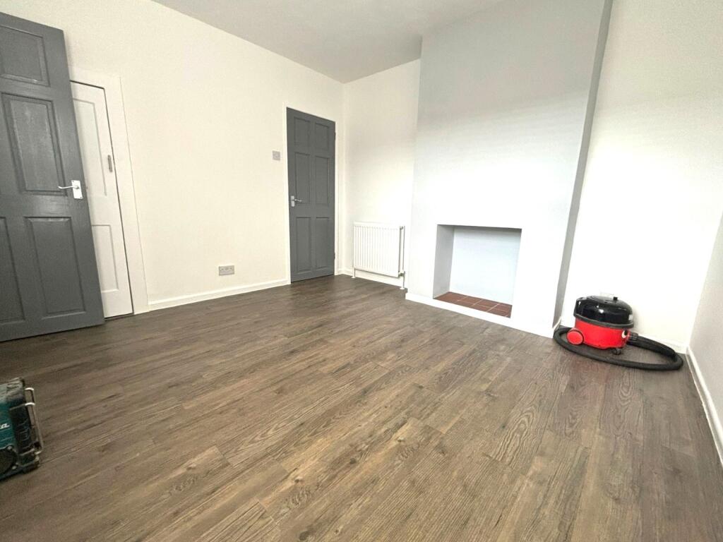
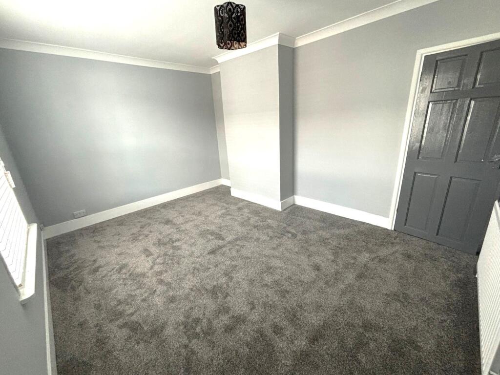
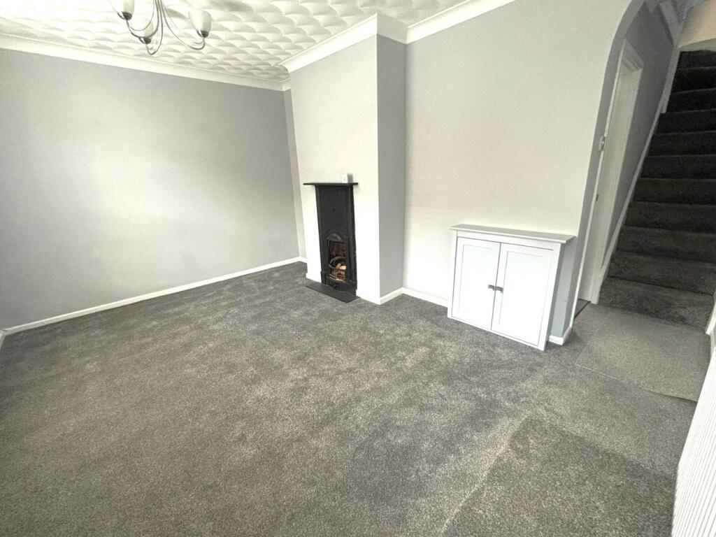
- Two reception rooms
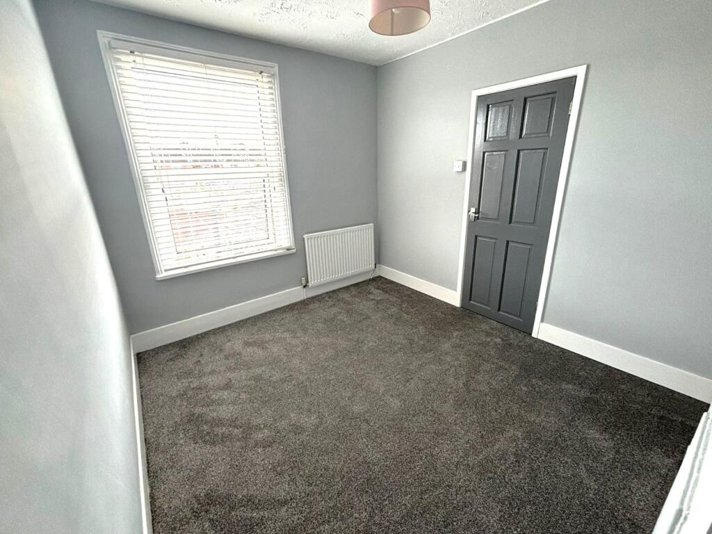
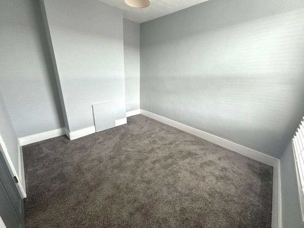
- Two bedrooms
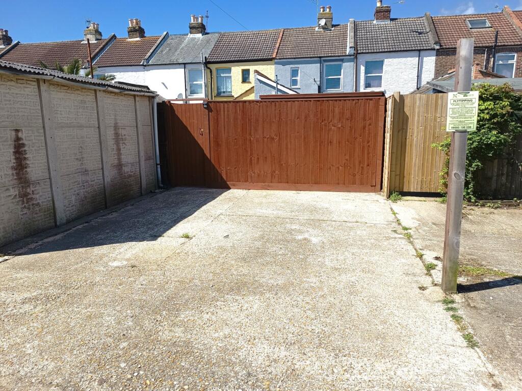
- Off road parking for two cars
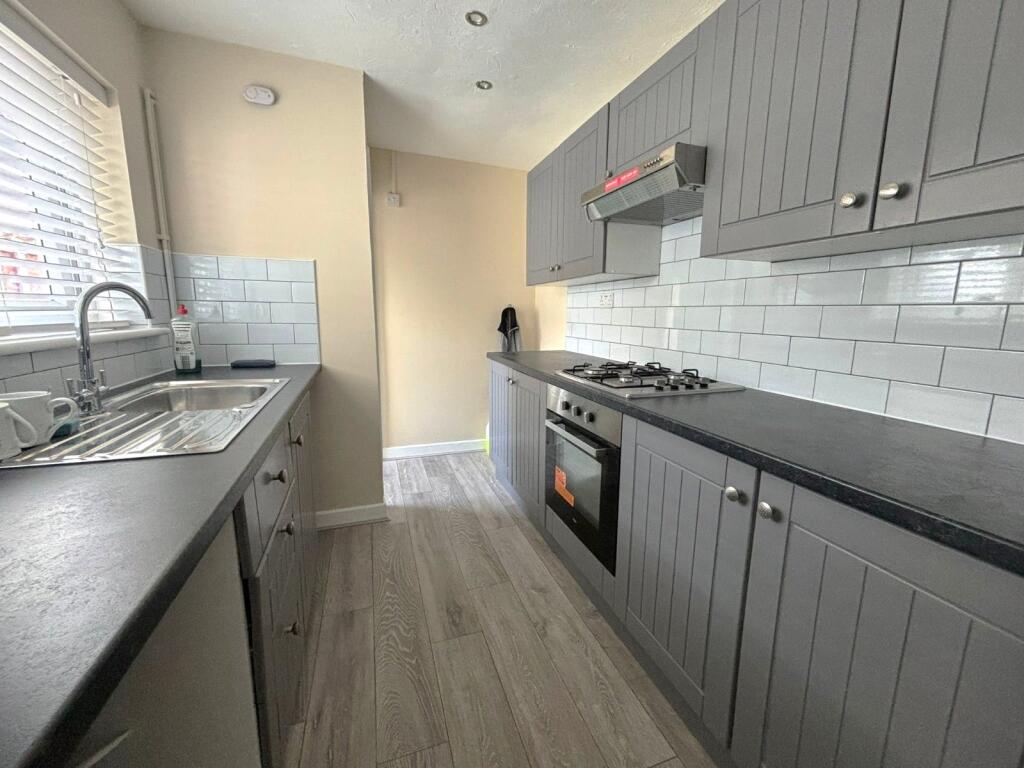
- Modern kitchen
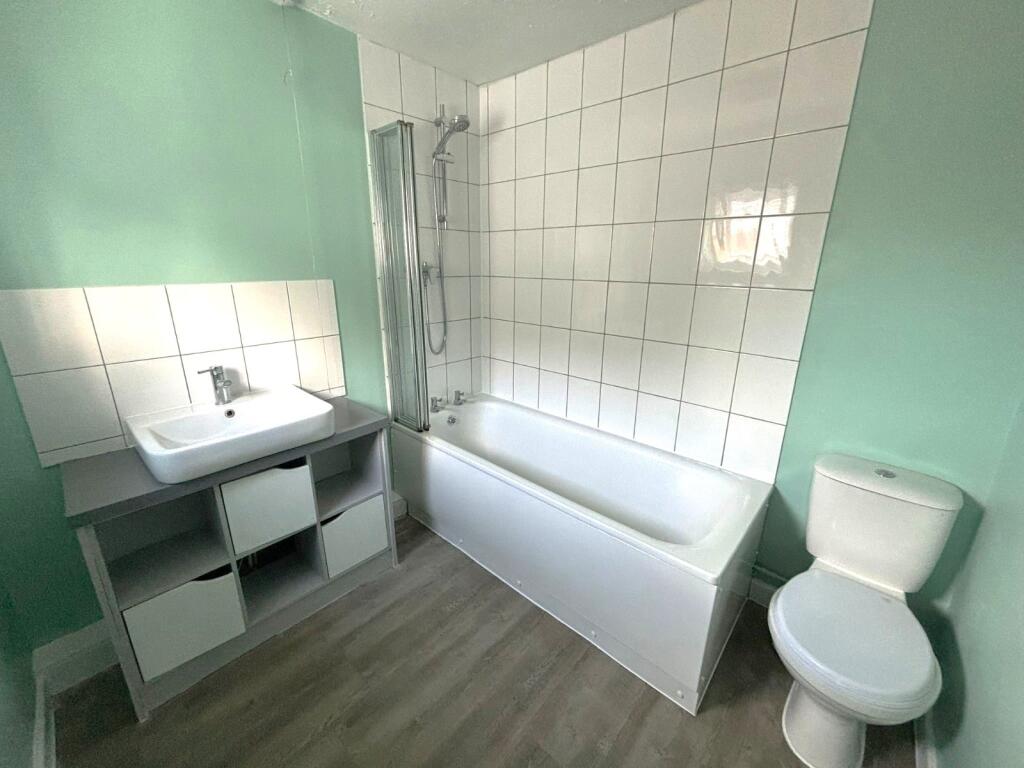
- Bathroom
- Refurbished throughout
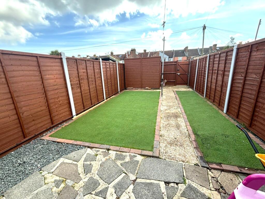
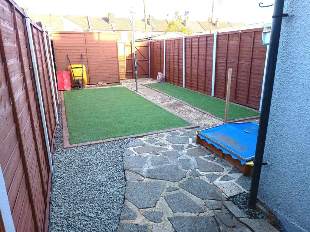
- Low maintenance garden
Additional details
- Parking
- Yes
- Garden
- Yes
Description
The property has been refurbished throughout and comprises of two reception rooms, a kitchen, bathroom and two bedrooms.
Listed by
Gosport
The Lomond Group
Reference: 160440779
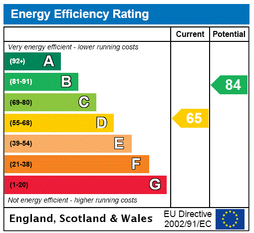
EPC Rating & Upgrade Cost
Current rating: C
Potential rating: C
Inspection date: 08/07/2025
Expiry date: 07/07/2035
Est. upgrade cost to C: £16,500
Recommendations
- Floor insulation (suspended floor) (£5,000 - £10,000)
- Solar photovoltaic panels, 2.5 kWp (£8,000 - £10,000)
Flood risk
Zone: 1
Risk: Low
Job (default Low)
EPC Graphs
EPC Rating Graph
Rental Range
Estimated market rent for Gosport. Low = conservative, Realistic = average, Optimistic = best case.
Based on Local Authority from postcode lookup → Gosport.
LHA (30th percentile) floor for Portsmouth: £843/mo (Apr 2025 – Mar 2026)
Location
Nearby
Nearest stations, universities and amenities (distance from property).
| Type | Name | Distance |
|---|---|---|
| Bus stop | Melville Road | 0.0 miles |
| Bus stop | San Diego Road Post Office | 0.1 miles |
| Shop | Spar | 0.1 miles |
| Shop | Hair of the Dog | 0.2 miles |
| Hospital | Forton Medical Centre | 0.4 miles |
| Train station | Portsmouth Harbour | 1.6 miles |
| University | St Andrew's Court Information Centre | 2.2 miles |
| University | Careers and Employability Service | 2.3 miles |
| Train station | Portsmouth and Southsea | 2.3 miles |
| Hospital | Elmleigh Hospital | 8.2 miles |
Street-level crime
| Category | Count |
|---|---|
| Violence and sexual offences | 73 |
| Anti-social behaviour | 23 |
| Other theft | 20 |
| Criminal damage and arson | 15 |
| Public order | 12 |
| Drugs | 10 |
| Possession of weapons | 6 |
| Other crime | 5 |
| Vehicle crime | 5 |
| Bicycle theft | 4 |
| Shoplifting | 4 |
| Burglary | 3 |
| Theft from the person | 2 |
| Robbery | 1 |
| Total incidents | 183 |
Within 1 mile during Apr 2026. Source: data.police.uk (England & Wales).
Schools nearby
Nearest open schools with Ofsted ratings (England). Closed schools are not shown. Data from Get Information about Schools and Ofsted.
| Name | Type | Distance | Ofsted |
|---|---|---|---|
| St John's, Gosport Church of England Voluntary Aided Primary School | Primary | 0.1 miles | Requires improvement — 17 Oct 2024 |
| Brockhurst Primary School | Primary | 0.3 miles | Good — 27 Jun 2019 |
| Elson Junior School | Primary | 0.4 miles | Good — 21 Sep 2022 |
| St Mary's Catholic Primary School | Primary | 0.5 miles | Good — 13 Sep 2023 |
| St Vincent College | Other | 0.5 miles | — (No rating) |
Rental Comparables
Residential lets from OpenRent and Rightmove for the area (same bedroom count). Use to validate rent estimates. Student lets are excluded.
| Title | Rent | Beds | Distance | As seen on |
|---|---|---|---|---|
| 2 Bed Terraced House, Alma Street, PO12 | £1,100/mo | 2 | 0.32 miles | OpenRent |
| 2 Bed Flat, Coates Road, PO12 | £995/mo | 2 | 1.2 miles | OpenRent |
Average rent: £1,048/mo (2 listings)