320 MOORSIDE ROAD
MANCHESTER, URMSTON, GREATER MANCHESTER M41 5SF
£1,485,000
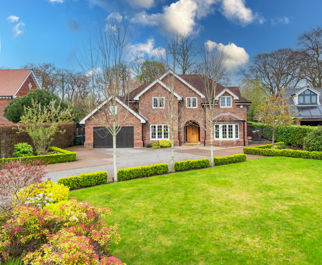
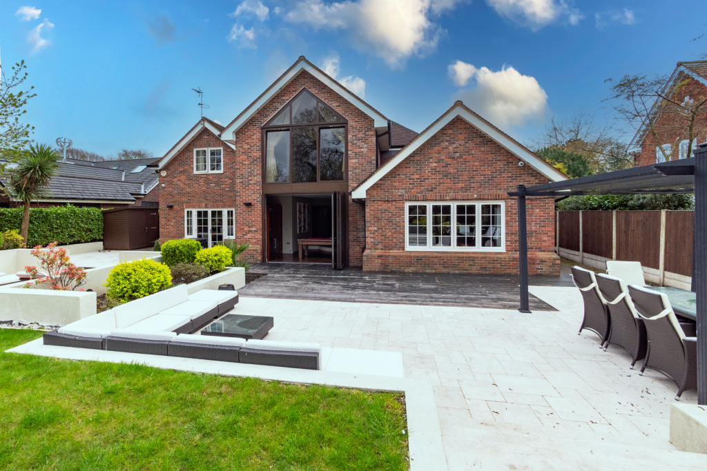
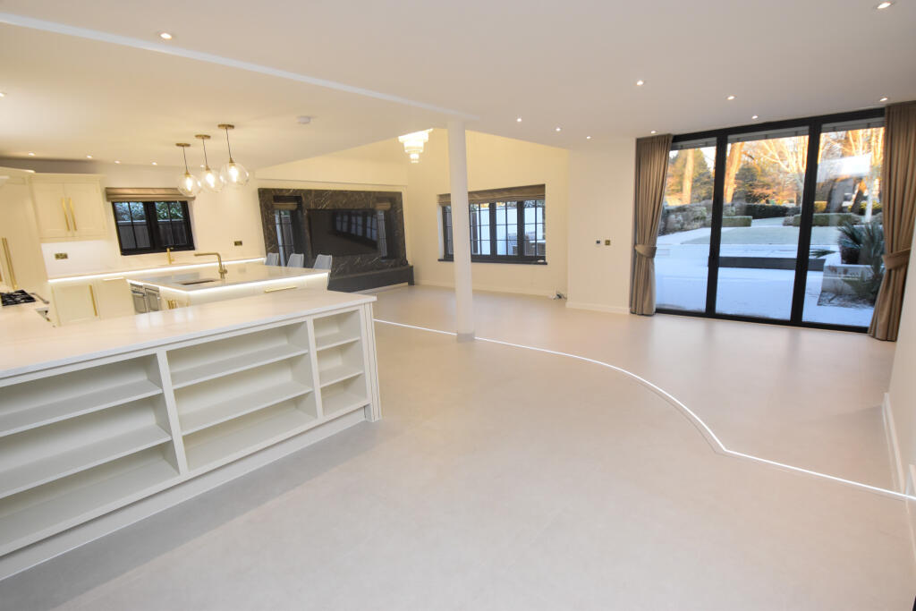
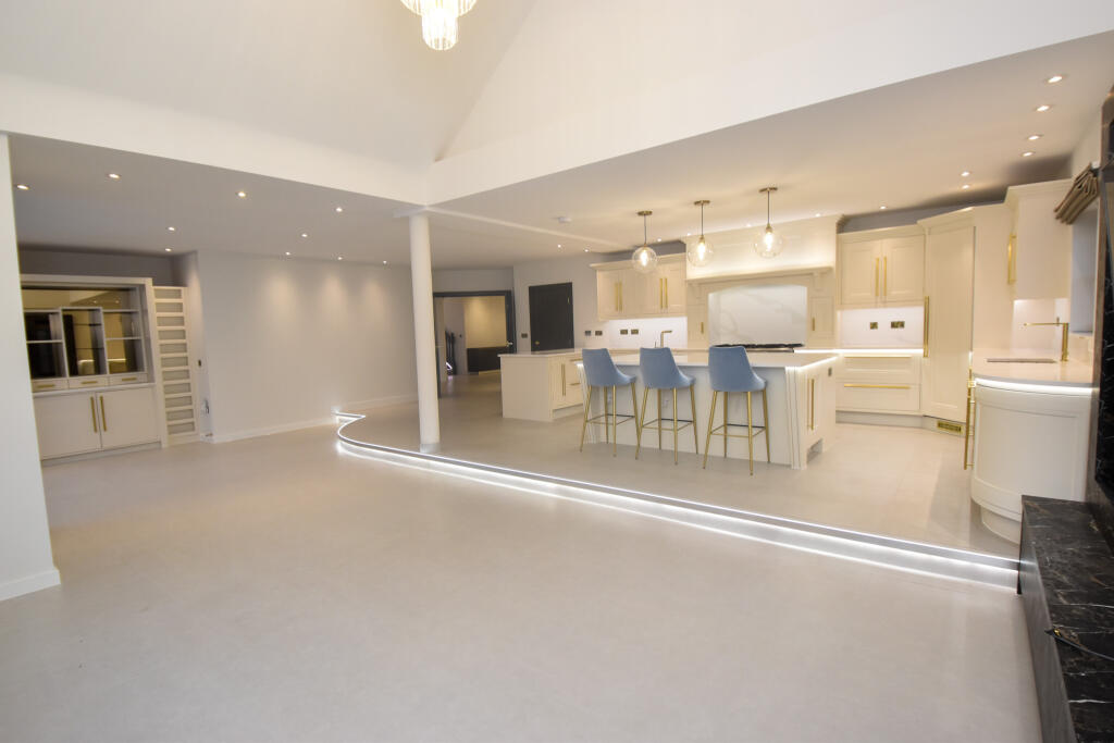
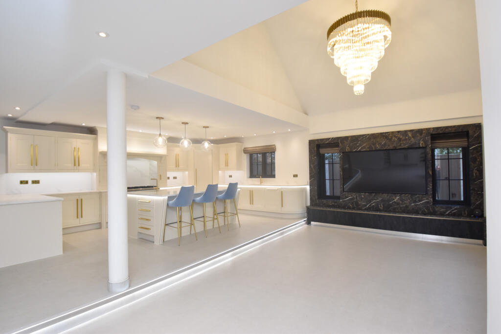
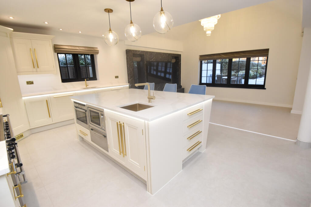
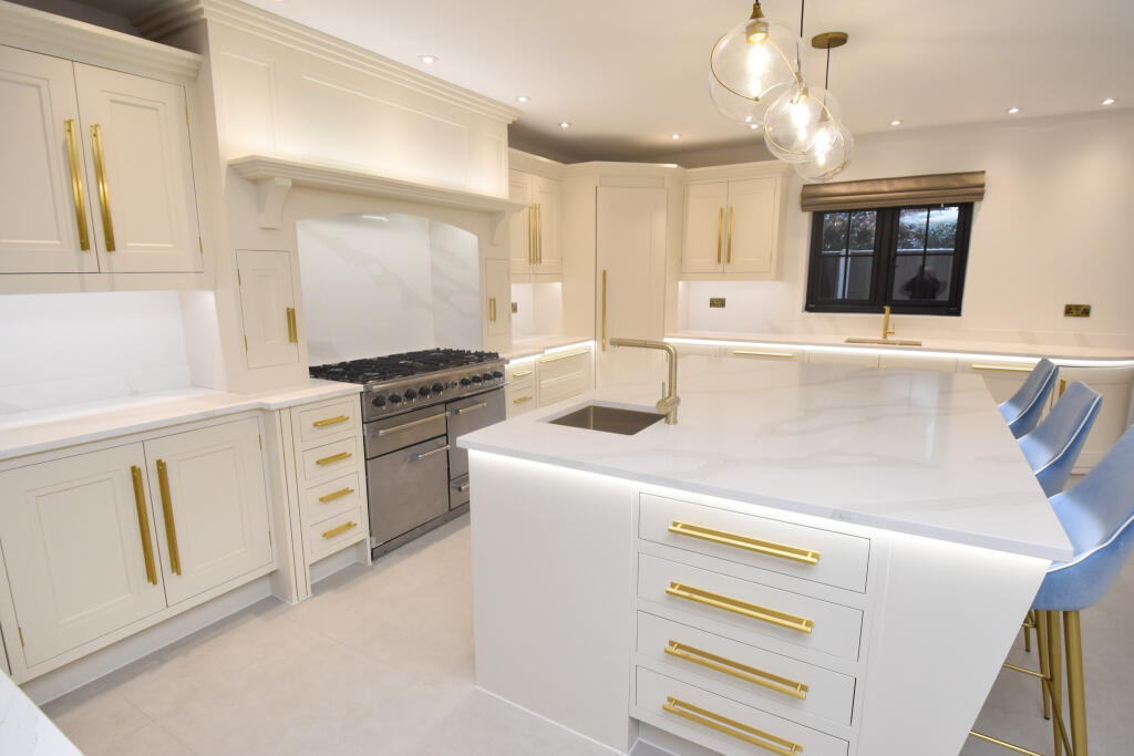
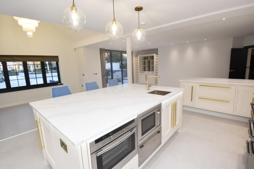
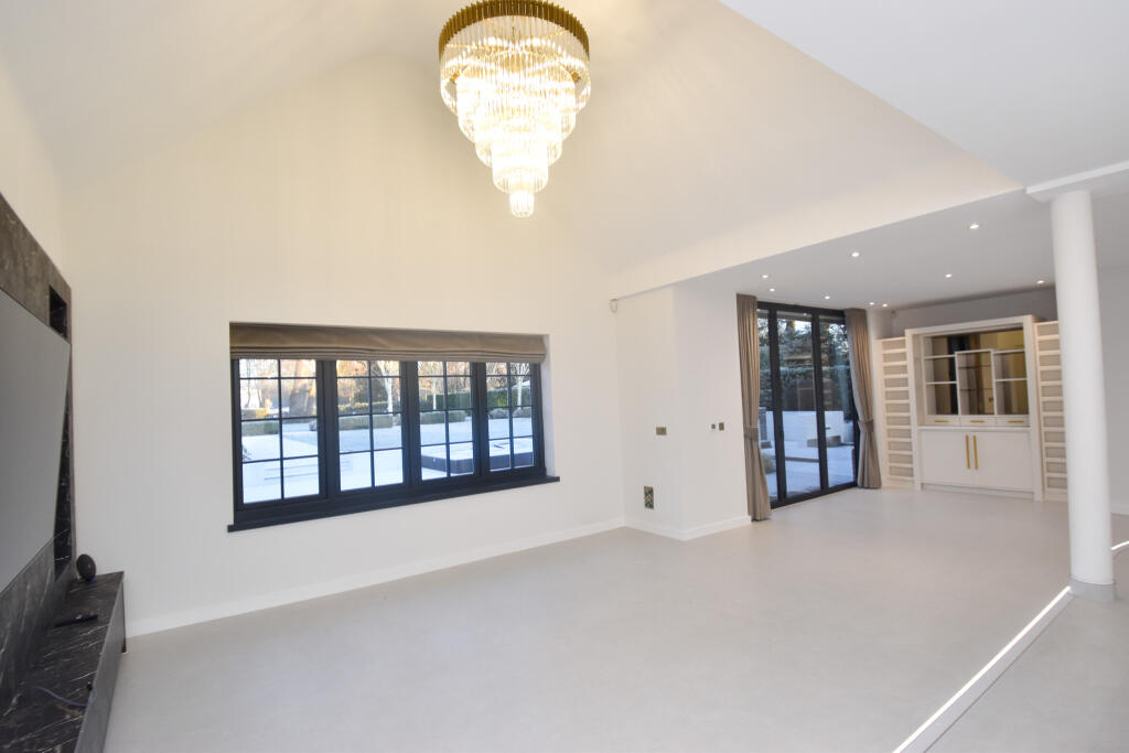
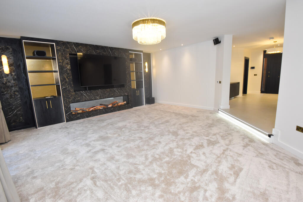
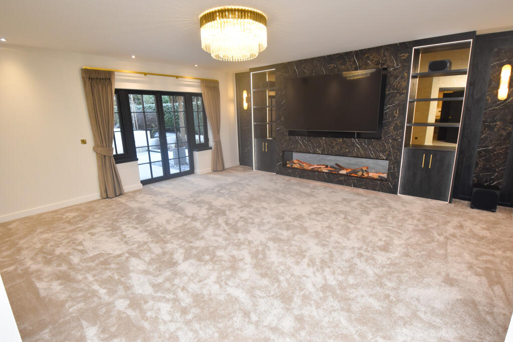
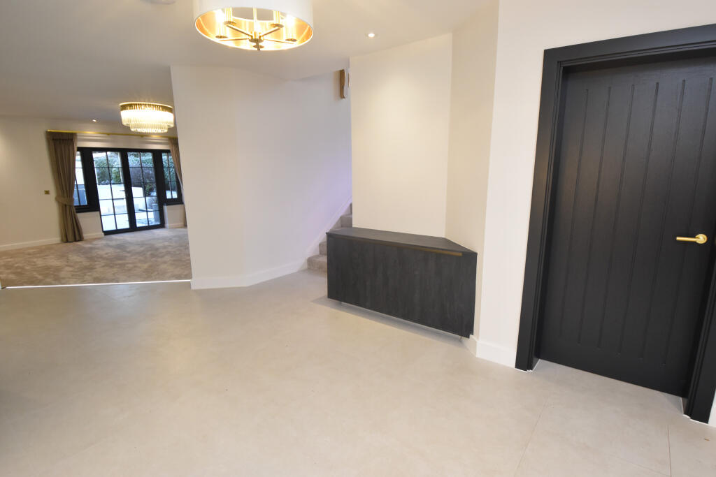
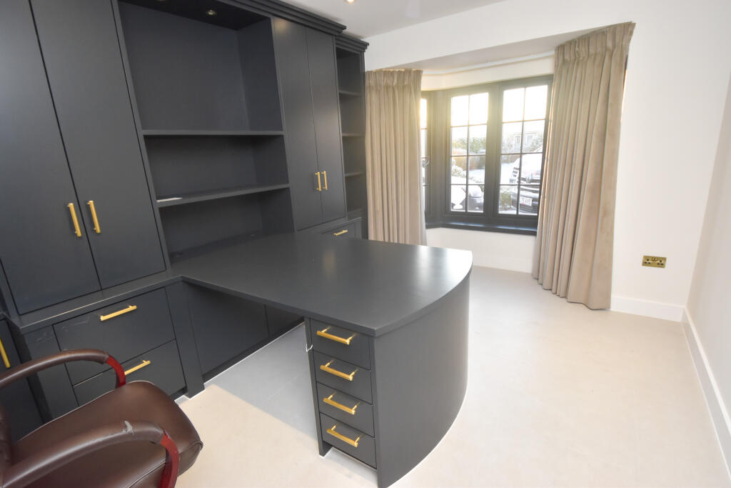
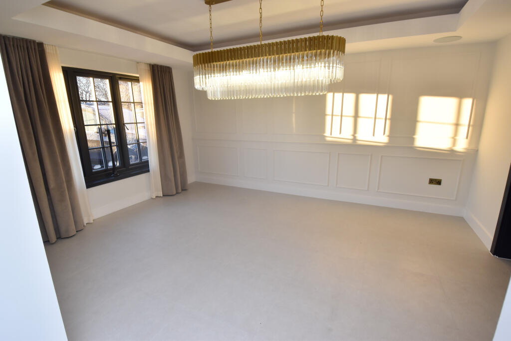
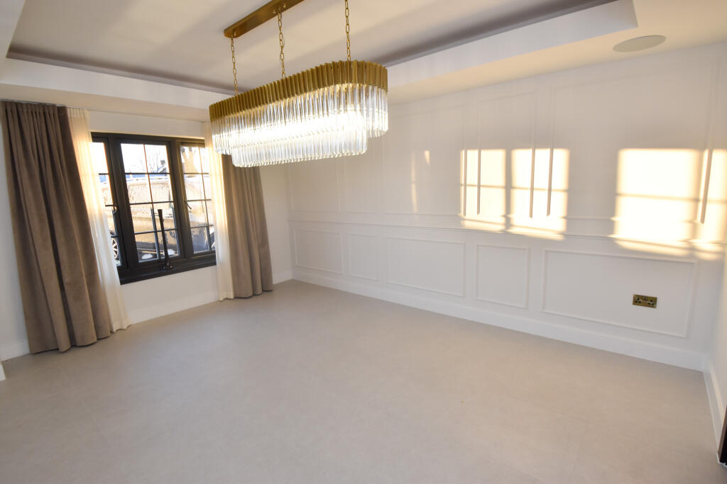
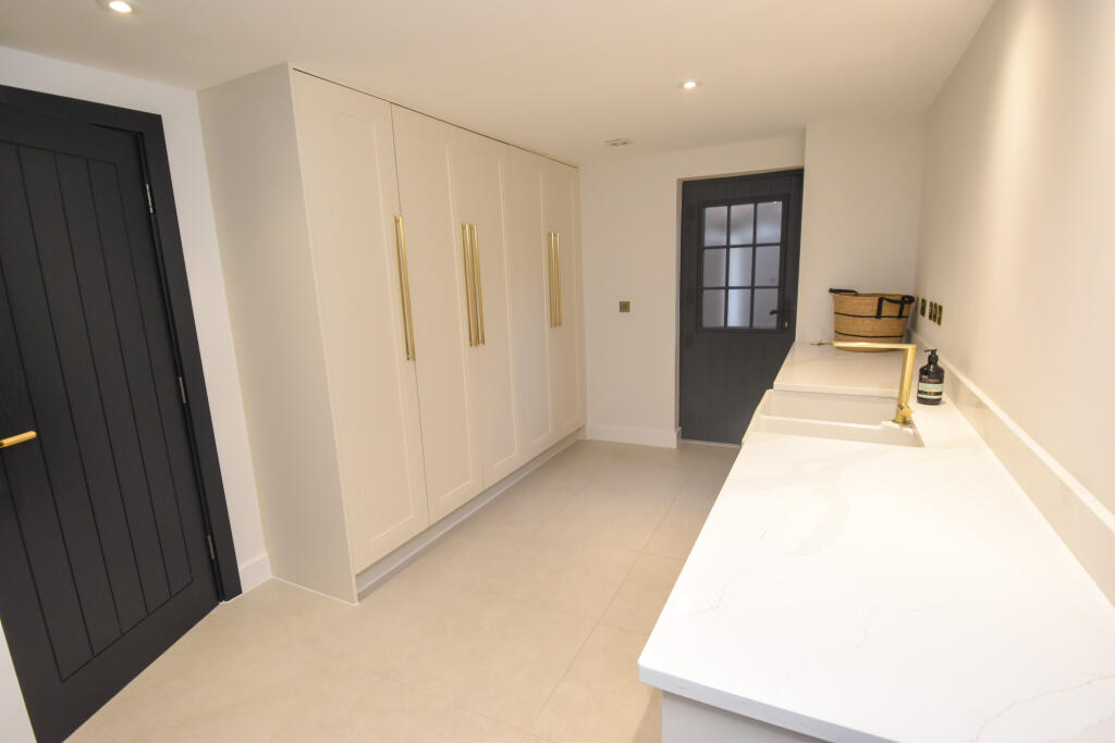
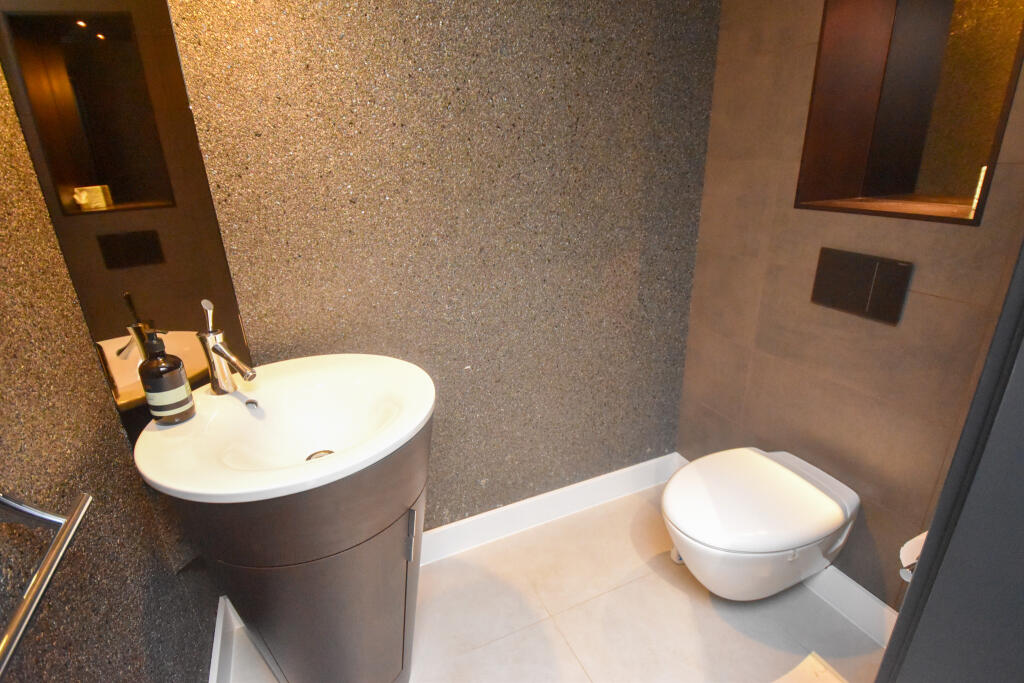
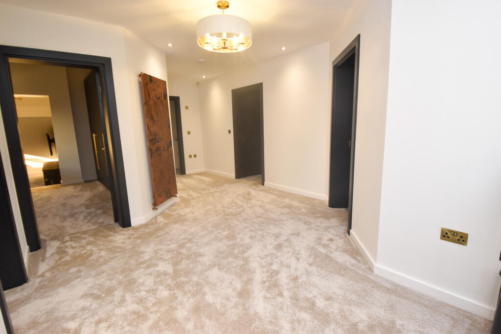
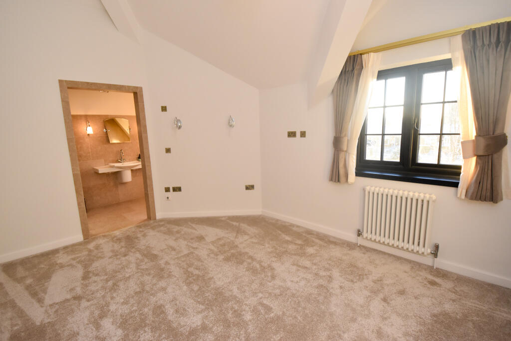
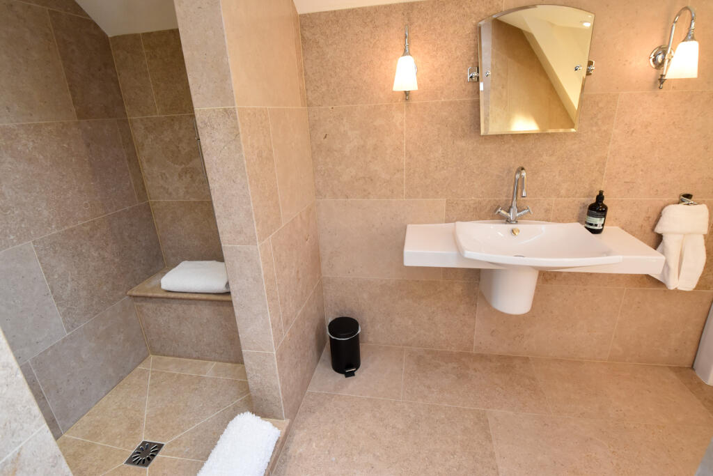
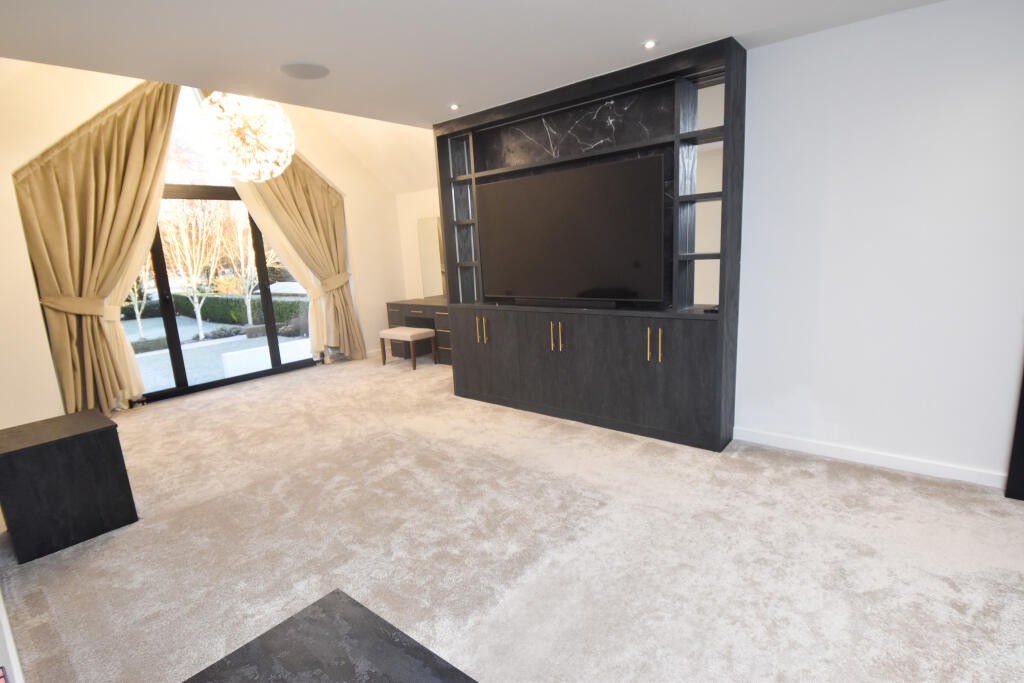
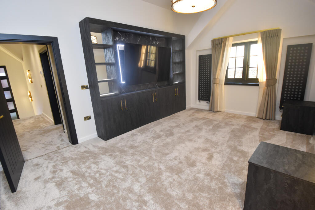
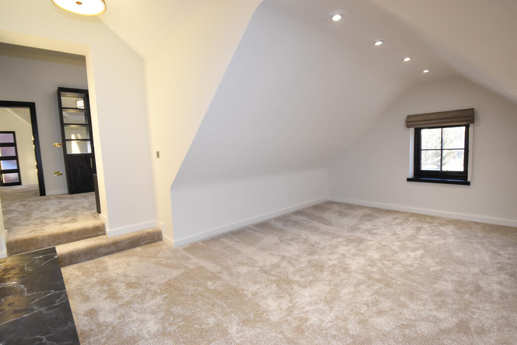


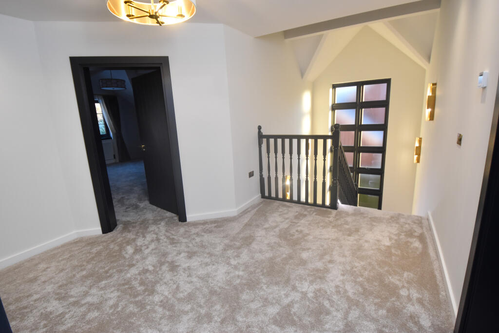
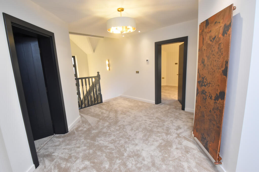

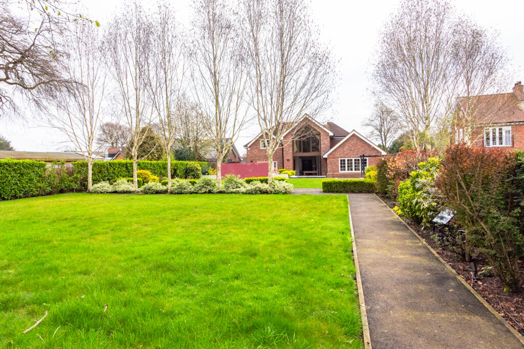
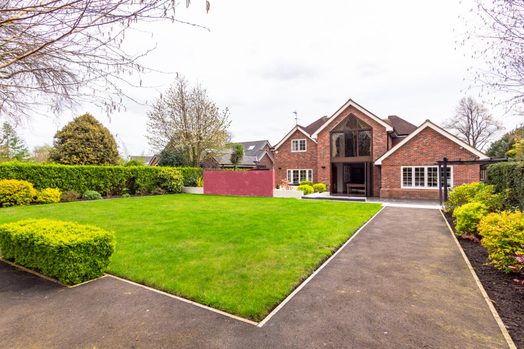


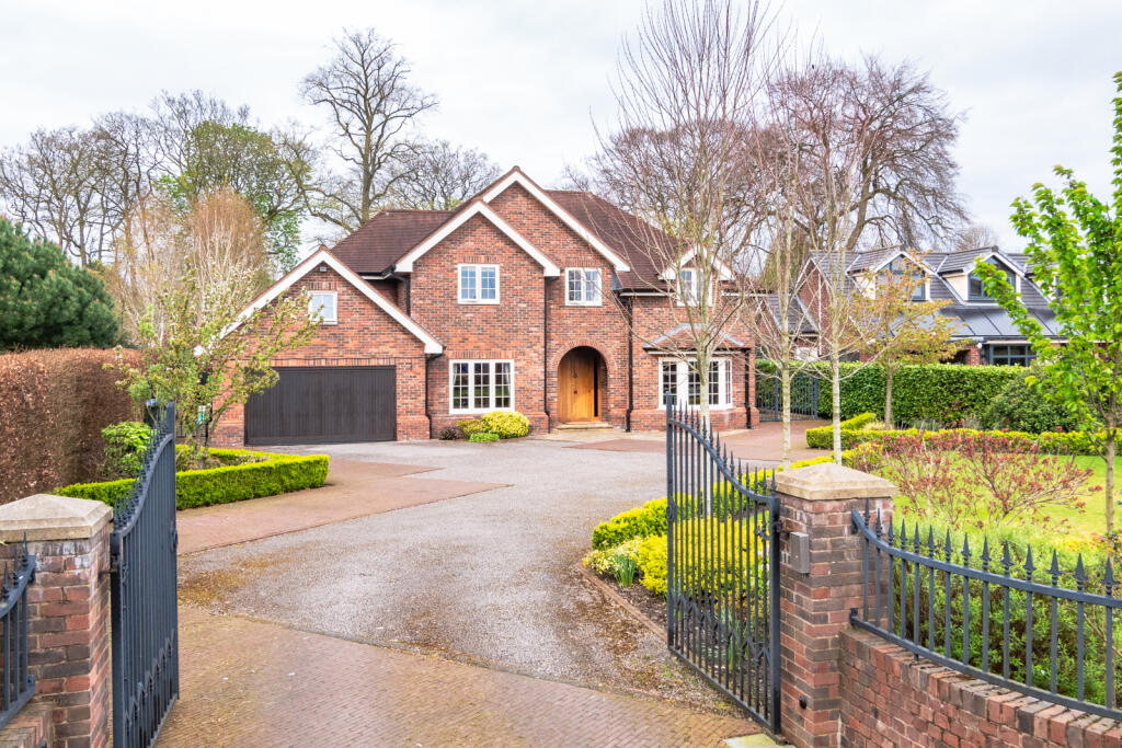
Four Bedroom Detached Gallery Gallery Gallery Gallery Gallery Gallery Gallery Gallery Gallery Gallery Gallery Gallery Gallery Gallery Gallery Gallery Gallery Gallery Gallery Gallery Gallery Gallery Gallery Gallery Gallery Gallery Gallery Gallery Gallery Gallery Gallery Gallery Gallery Gallery Gallery Gallery Gallery Gallery Gallery Gallery Gallery
/ 42
Property details
Tenure
FREEHOLD
Floor area
323 m²
Council tax band
G
EPC rating
C
Last sold
£1,450,000 Mar 2026
Price per m²
£4,598/m²
Local average
£584,481 (+154.1%)
Deprivation
Decile 10 (32,586 of 33,755)
Street crime
0 incidents within 1 mile (Apr 2026)
Key features
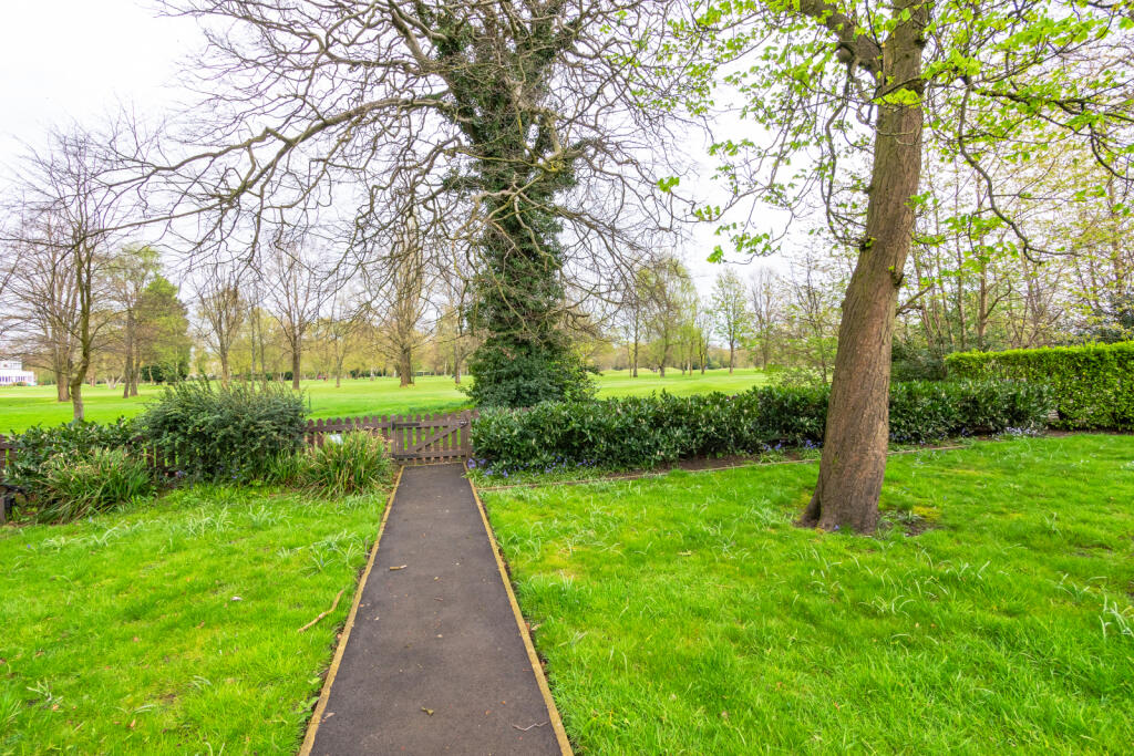
- Views to the rear of Davyhulme Golf Course
- Kitchen-Diner
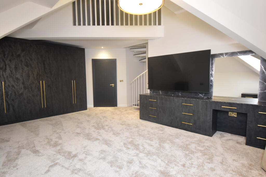
- Loft conversion
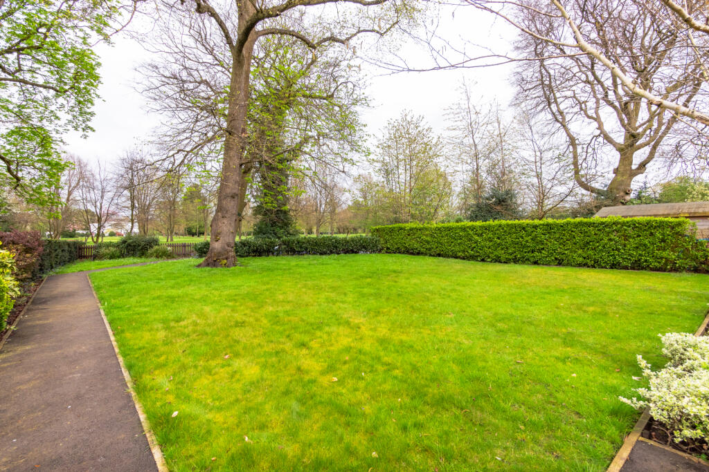
- Large rear garden
- Off Road parking for several cars
- Modern fitted kitchen Contemporary kitchen
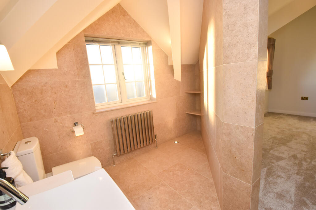
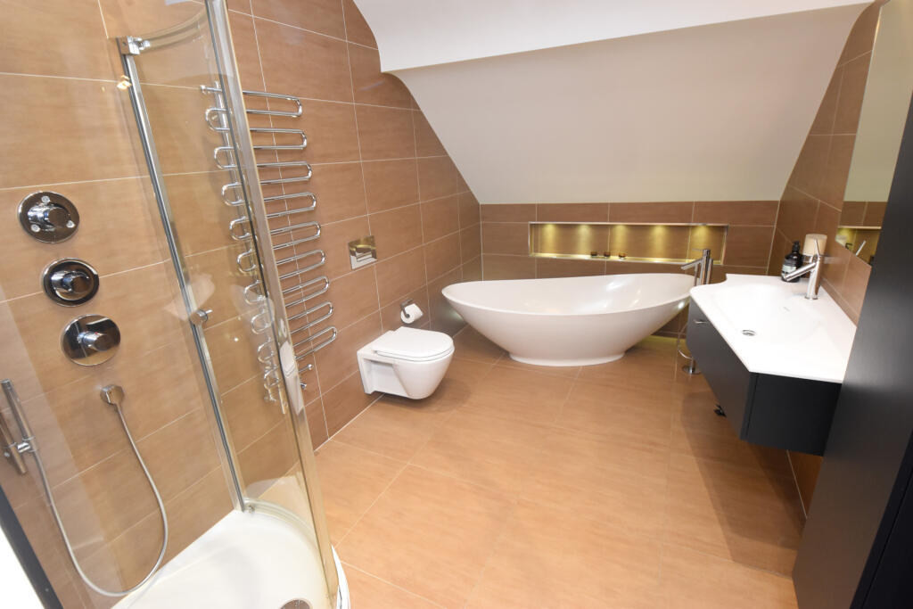
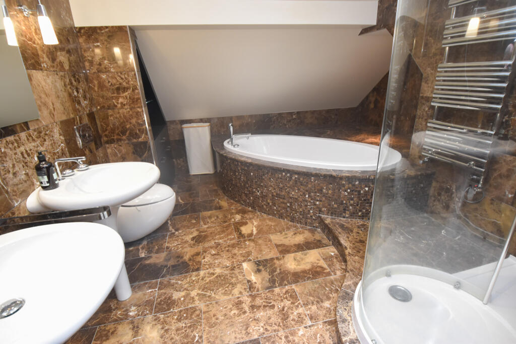
- Modern bathroom
- Close to Amenities
- Fully Double Glazed
Additional details
- Parking
- Yes
- Garden
- Yes
- Required access
- No
- Rights of way
- No
Description
Listed by
South Manchester
Moving Onwards Limited
Reference: 170847728
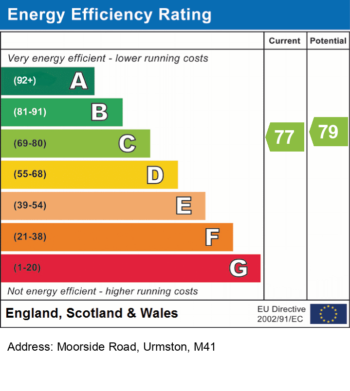
EPC Rating & Upgrade Cost
Current rating: C
Potential rating: C
Inspection date: 11/09/2025
Expiry date: 10/09/2035
Current heating cost: £1,779/year
Potential heating cost: £1,779/year
Est. upgrade cost to C: £9,000
Recommendations
- Solar photovoltaic panels, 2.5 kWp (£8,000 - £10,000)
Flood risk
Zone: 1
Risk: Low
Job (default Low)
Floorplans
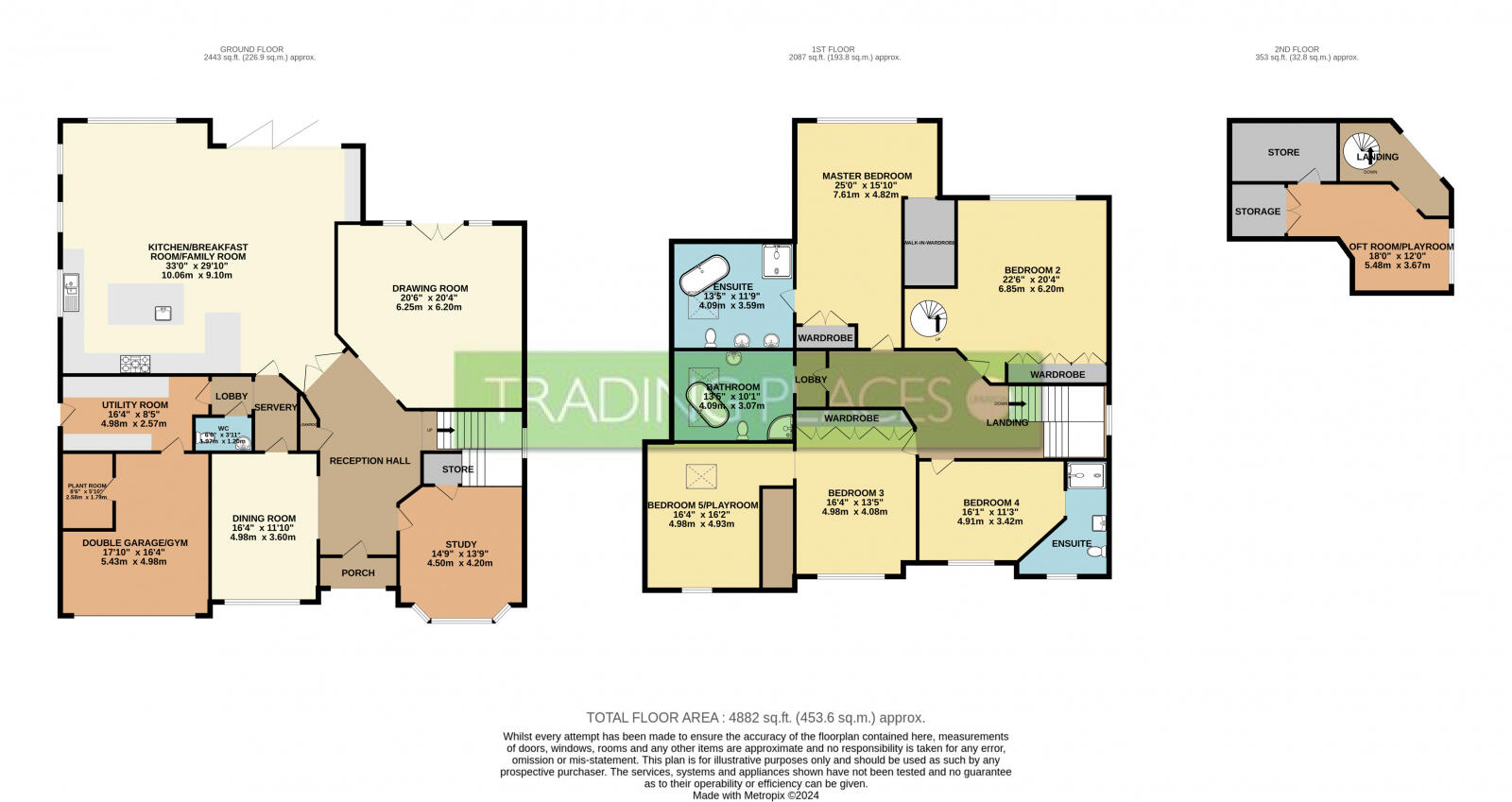
Floor Plan
EPC Graphs
EPC
Price history
267% since 2005
| Event | Date | Price | % change |
|---|---|---|---|
| Sold | 23/03/2026 (2 months ago) | £1,450,000 | +3.6% |
| Sold | 05/07/2024 (1 year ago) | £1,400,000 | +254.4% |
| Sold | 02/03/2005 (21 years ago) | £395,000 | — |
Source: HM Land Registry Price Paid Data. Crown copyright.
Sold Comparables
Same street and nearby sales within 0.25 miles (last 5 years). Data from Land Registry Price Paid.
| Address | Price | Date | Type |
|---|---|---|---|
| 3 ANDREWS AVENUE, URMSTON, MANCHESTER, TRAFFORD, GREATER MANCHESTER, M41 8SU | £485,000 | 05/11/2025 | Detached |
| 10 MARDALE AVENUE, URMSTON, MANCHESTER, TRAFFORD, GREATER MANCHESTER, M41 5SA | £595,000 | 10/11/2022 | Detached |
| 348 MOORSIDE ROAD, URMSTON, MANCHESTER, TRAFFORD, GREATER MANCHESTER, M41 5SE | £548,500 | 12/08/2022 | Detached |
| Same street 300 MOORSIDE ROAD, URMSTON, MANCHESTER, TRAFFORD, GREATER MANCHESTER, M41 5SF | £570,000 | 08/07/2022 | Semi-detached |
| 55 ULLSWATER ROAD, URMSTON, MANCHESTER, TRAFFORD, GREATER MANCHESTER, M41 8SY | £595,000 | 14/04/2022 | Detached |
| Same street 302 MOORSIDE ROAD, URMSTON, MANCHESTER, TRAFFORD, GREATER MANCHESTER, M41 5SF | £570,000 | 07/01/2022 | Semi-detached |
| Same street 302 MOORSIDE ROAD, URMSTON, MANCHESTER, TRAFFORD, GREATER MANCHESTER, M41 5SF | £570,000 | 07/01/2022 | Semi-detached |
| 11 ANDREWS AVENUE, URMSTON, MANCHESTER, TRAFFORD, GREATER MANCHESTER, M41 8SU | £485,000 | 26/11/2021 | Detached |
| Same street 302A MOORSIDE ROAD, URMSTON, MANCHESTER, TRAFFORD, GREATER MANCHESTER, M41 5SF | £545,000 | 29/09/2021 | Detached |
Street average: £563,750 (4 sales)
Area average: £541,700 (5 sales)
Capital growth trend
Land Registry outcode average: last 12 months vs 5y and 10y ago (from sold prices).
House Price Index (HM Land Registry — official index, not sold-price averages): Trafford. Series: Detached. As of March 2026.
Rental Range
Estimated market rent for Trafford. Low = conservative, Realistic = average, Optimistic = best case.
Based on Local Authority from postcode lookup → Trafford.
LHA (30th percentile) floor for Central Greater Manchester: £1,346/mo (Apr 2025 – Mar 2026)
Location
Nearby
Nearest stations, universities and amenities (distance from property).
| Type | Name | Distance |
|---|---|---|
| Bus stop | Calder Bank, Moorside Road / opposite Mardale Avenue | 0.1 miles |
| Bus stop | Calder Bank, Moorside Road / opposite Lawrence Road | 0.2 miles |
| Shop | Stewarts Shoe Repairs | 0.3 miles |
| Shop | Lifestyle Express | 0.3 miles |
| Hospital | Trafford General Hospital | 0.5 miles |
| Train station | Flixton | 0.6 miles |
| Train station | Chassen Road | 0.8 miles |
| Hospital | Salford Royal Hospital | 3.4 miles |
| University | University of Salford | 3.8 miles |
| University | University Academy 92 | 4.0 miles |
Street-level crime
| Category | Count |
|---|---|
| Total incidents | 0 |
Within 1 mile during Apr 2026. Source: data.police.uk (England & Wales).
Schools nearby
Nearest open schools with Ofsted ratings (England). Closed schools are not shown. Data from Get Information about Schools and Ofsted.
| Name | Type | Distance | Ofsted |
|---|---|---|---|
| Flixton Primary School | Primary | 0.2 miles | Good — 10 Nov 2014 |
| Abbotsford Preparatory School | Other | 0.5 miles | — (No rating) |
| Flixton Girls School | Secondary | 0.5 miles | Good — 23 Jan 2024 |
| Acre Hall Primary School | Primary | 0.6 miles | Requires improvement — 8 Sep 2024 |
| St Monica's RC Primary School | Primary | 0.6 miles | Good — 22 Oct 2014 |
Rental Comparables
Rental comparables are temporarily unavailable while listing-site fetches are paused. Try again later.
Rent-driven metrics
Based on Area rent estimate.
- Rent ratio — Monthly rent ÷ purchase price (1% rule). 1%+ = strong, 0.8–1% = okay, <0.8% = weak for cashflow.
- Max investor price — Rent ÷ 0.8%; the price at which rent would be 0.8% of price (Stoke-style target).
- Target investor price — Rent ÷ 1%; the price at which rent would be 1% of price (strong cashflow band).
- Gross yield — Annual rent as % of purchase price (no costs).