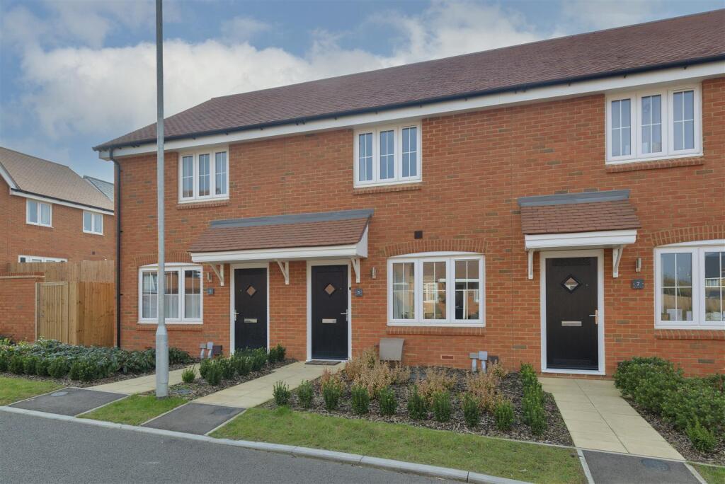
5 HERFELD ROAD
MAIDSTONE, OTHAM, KENT ME15 8FB
Property details
Tenure
FREEHOLD
Floor area
84 m²
Council tax band
C
Last sold
£312,000 Oct 2025
Local average
£294,412 (+7%)
Deprivation
Decile 7 (21,860 of 33,755)
Street crime
116 incidents within 1 mile (Mar 2026)
Key features
- Newly built
- Under warranty
- Close to shops
Additional details
- Electricity
- Mains supply
- Water
- Mains supply
- Sewerage
- Mains supply
- Heating
- Gas central
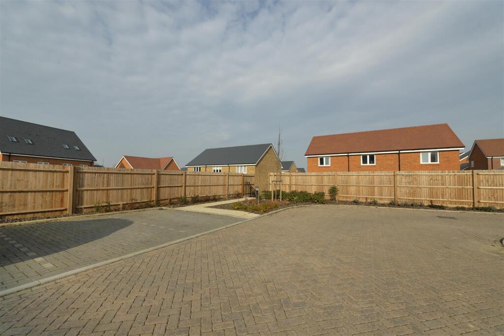
- Parking
- Residents
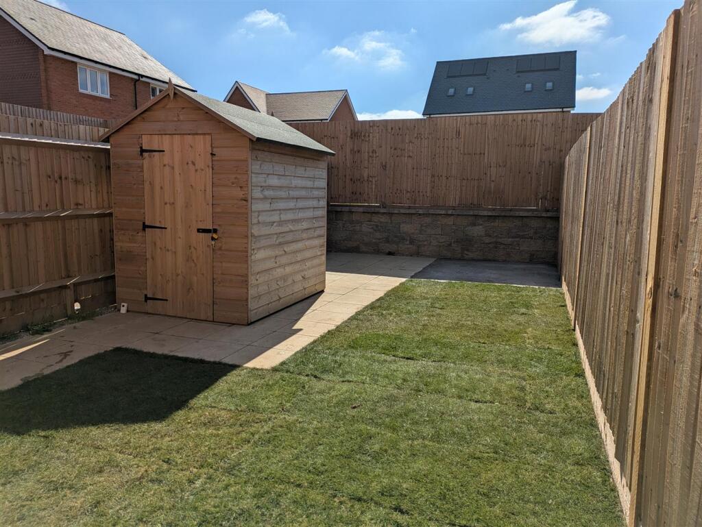
- Garden
- Yes
- Listed property
- No
- Restrictions
- No
- Required access
- No
- Rights of way
- No
- Flooded in last 5 years
- No
- Flood defences
- No
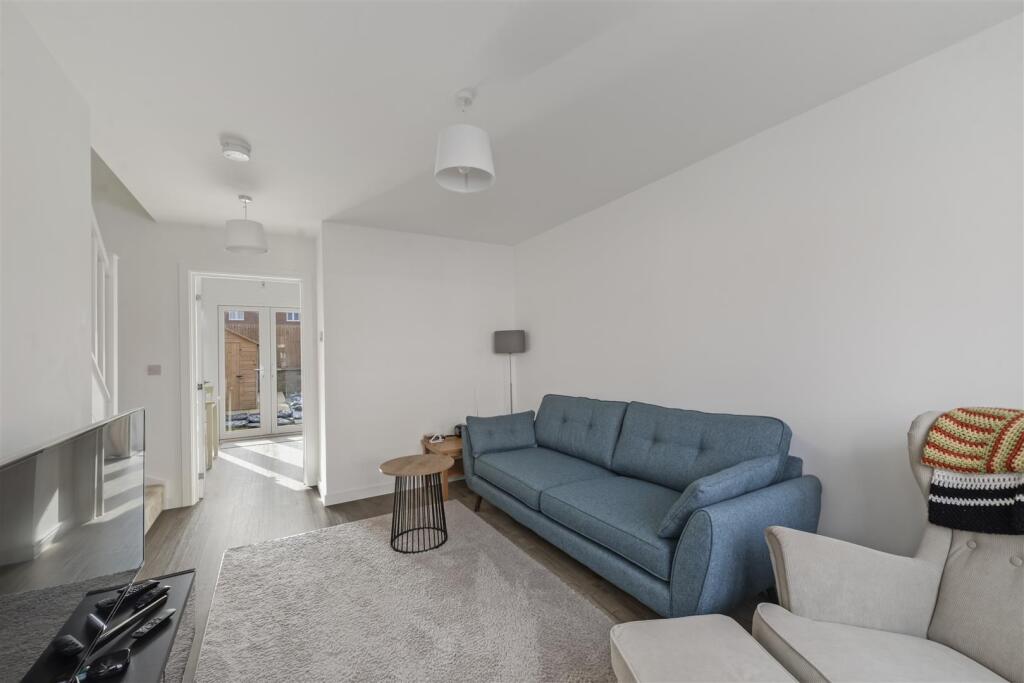
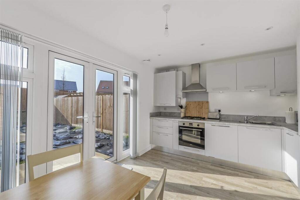
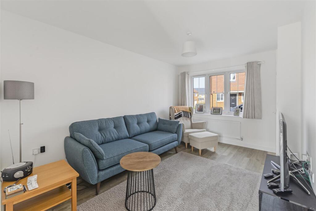
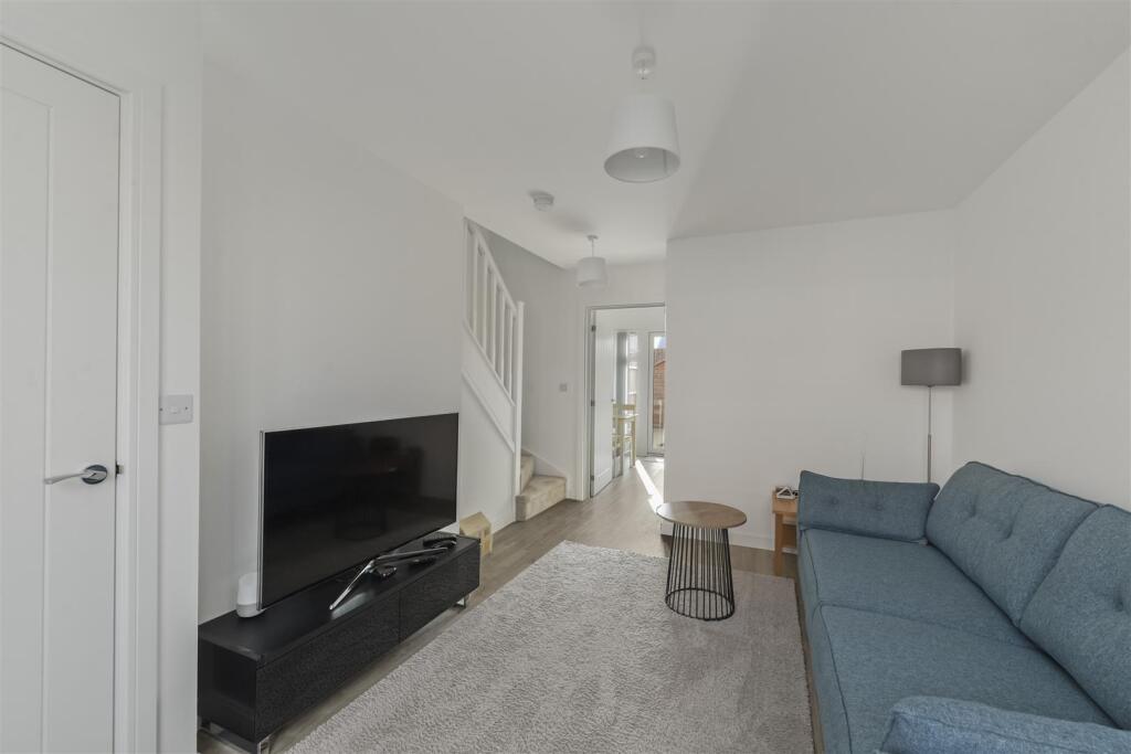
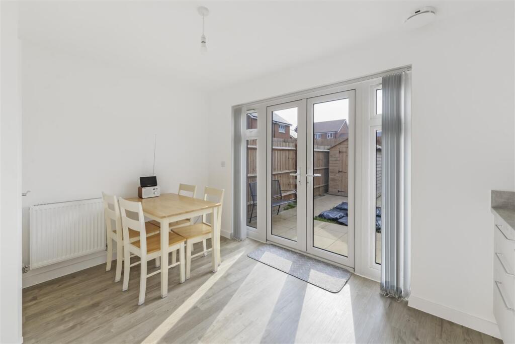
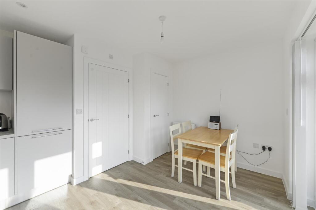
Description
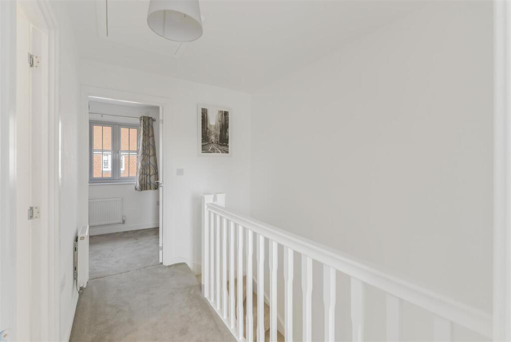
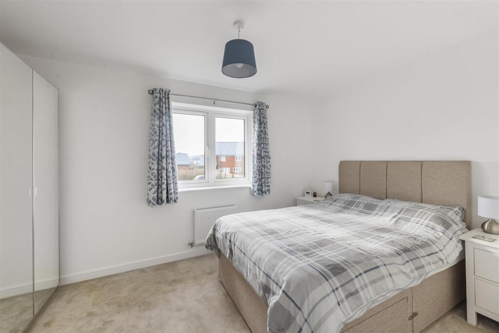
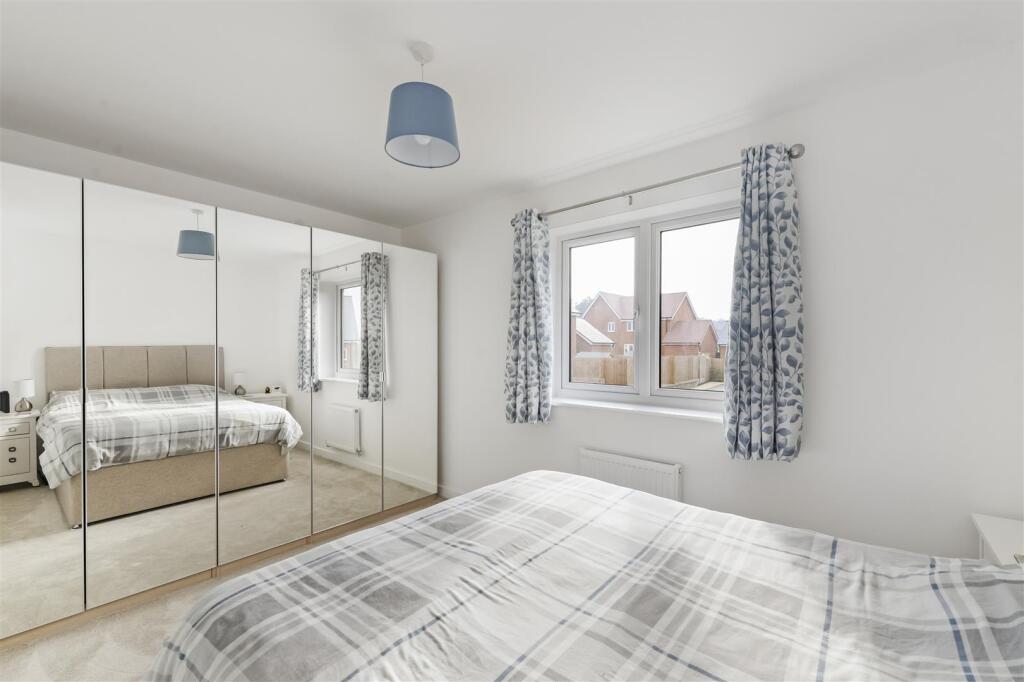
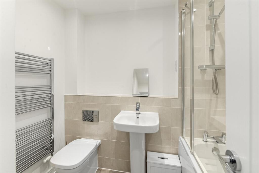
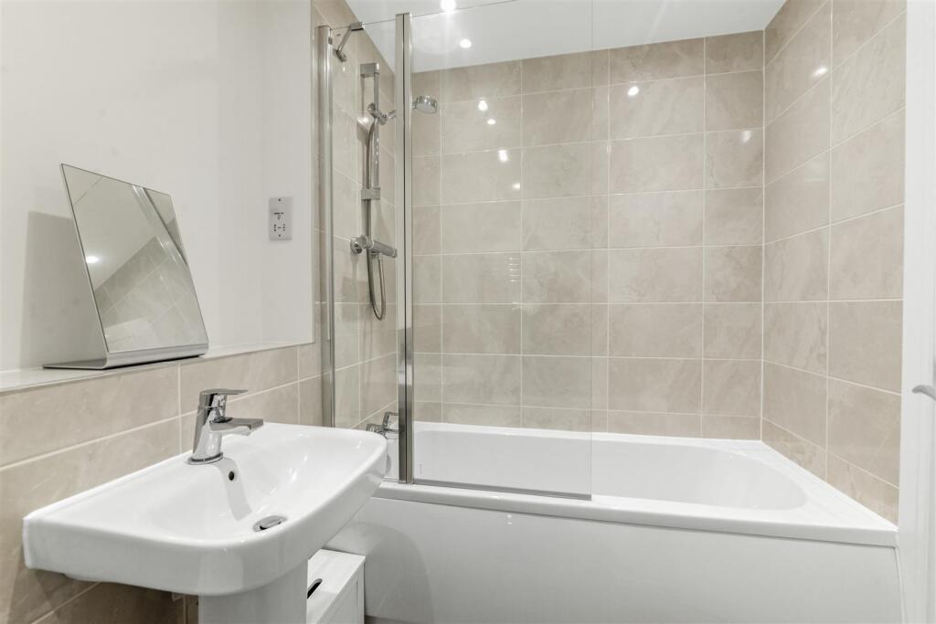
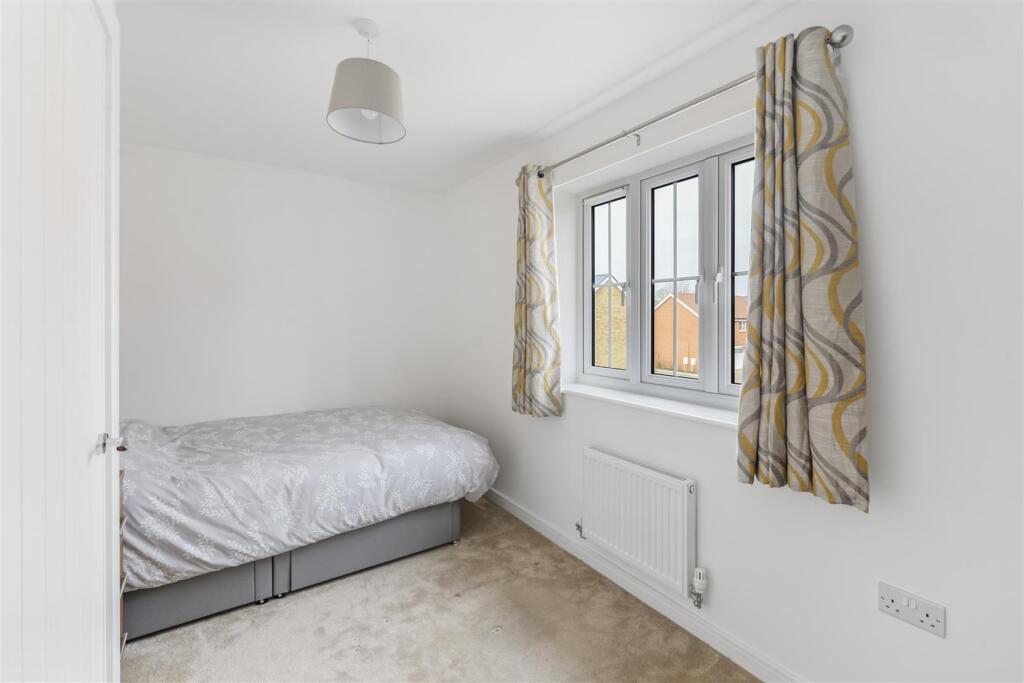
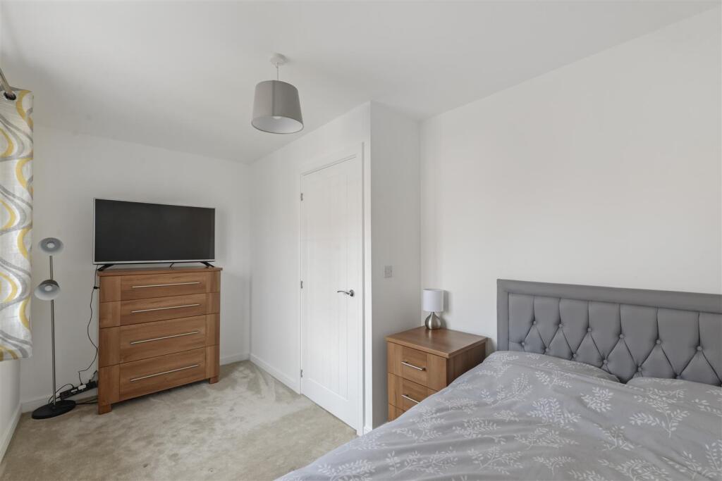
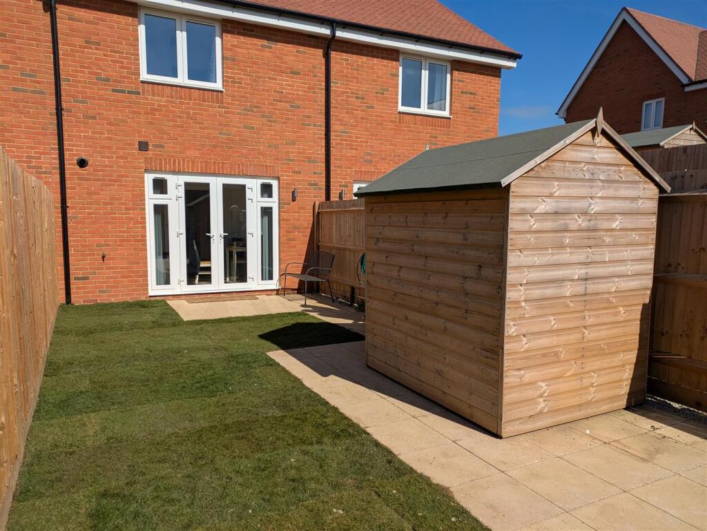
is this 2 bedroom immaculate mid terraced house.
This newly built home features 2 bedrooms, a family bathroom, a separate lounge and an attractive kitchen with integrated appliances and a downstairs cloakroom. It has a good size kitchen/diner which opens on to the rear garden and 1 allocated parking space with a generous amount of visitor bays.
Still under building warranty, this house ticks all the boxes.
Don't miss out, call now to view!
Listed by
Allington
Kings Hill Properties
Reference: 158666747
EPC Rating & Upgrade Cost
Fetching EPC data… Refresh this page in a moment.
Flood risk
Zone: 1
Risk: Low
Job (default Low)
Floorplans
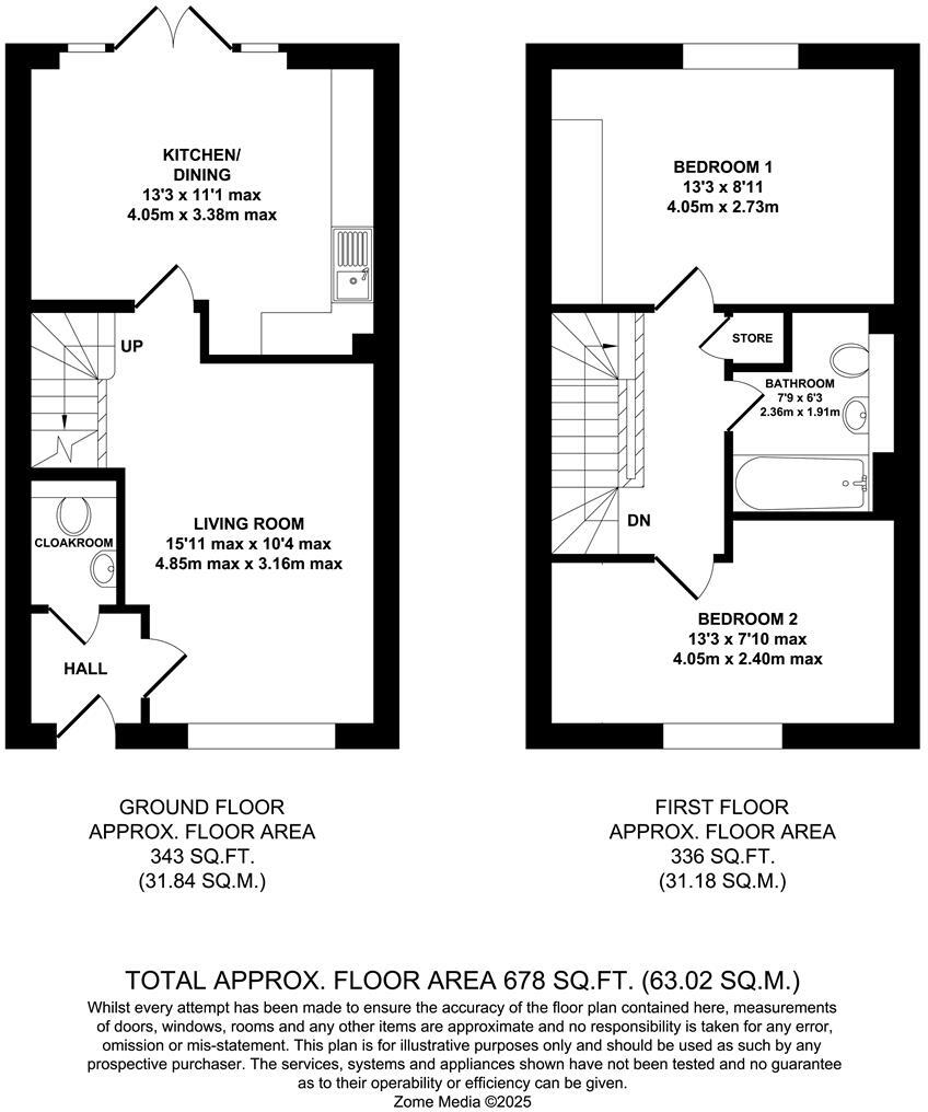
5HerfeldFP.jpg
EPC Graphs
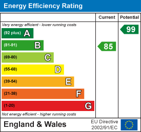
EE Rating
Price history
| Event | Date | Price | % change |
|---|---|---|---|
| Sold | 30/10/2025 (7 months ago) | £312,000 | — |
Source: HM Land Registry Price Paid Data. Crown copyright.
Sold Comparables
Same street and nearby sales within 0.25 miles (last 5 years). Data from Land Registry Price Paid.
| Address | Price | Date | Type |
|---|---|---|---|
| Same street 1 HERFELD ROAD, OTHAM, MAIDSTONE, KENT, ME15 8FB | £382,995 | 05/07/2024 | Semi-detached |
| Same street 10 HERFELD ROAD, OTHAM, MAIDSTONE, KENT, ME15 8FB | £354,995 | 28/11/2023 | Terraced |
| Same street 22 HERFELD ROAD, OTHAM, MAIDSTONE, KENT, ME15 8FB | £320,995 | 27/07/2023 | Terraced |
| Same street 8 HERFELD ROAD, OTHAM, MAIDSTONE, KENT, ME15 8FB | £383,995 | 27/07/2023 | Terraced |
| Same street 2 HERFELD ROAD, OTHAM, MAIDSTONE, KENT, ME15 8FB | £523,495 | 30/06/2023 | Detached |
| 48 CHAPMAN AVENUE, MAIDSTONE, KENT, ME15 8EJ | £332,500 | 08/12/2022 | Terraced |
| 80 LONGHAM COPSE, DOWNSWOOD, MAIDSTONE, KENT, ME15 8TW | £197,800 | 24/02/2022 | Terraced |
| 81 LONGHAM COPSE, DOWNSWOOD, MAIDSTONE, KENT, ME15 8TW | £195,000 | 04/06/2021 | Terraced |
Street average: £393,295 (5 sales)
Area average: £241,767 (3 sales)
Capital growth trend
Land Registry outcode average: last 12 months vs 5y and 10y ago (from sold prices).
House Price Index (HM Land Registry — official index, not sold-price averages): Maidstone. Series: Terraced. As of February 2026.
Rental Range
Estimated market rent for Maidstone. Low = conservative, Realistic = average, Optimistic = best case.
Based on Local Authority from postcode lookup → Maidstone.
LHA (30th percentile) floor for Maidstone: £903/mo (Apr 2025 – Mar 2026)
Location
Nearby
Nearest stations, universities and amenities (distance from property).
| Type | Name | Distance |
|---|---|---|
| Bus stop | Horton Downs | 0.2 miles |
| Shop | Premier Express | 0.2 miles |
| Shop | Senacre Cycles | 0.5 miles |
| Train station | Maidstone Model Engineering Society | 1.2 miles |
| Train station | Bearsted | 1.5 miles |
| University | UCA Maidstone Studios | 1.7 miles |
| Hospital | KIMS Hospital | 2.0 miles |
| Hospital | The Somerfield Hospital | 2.7 miles |
| University | University for the Creative Arts, Maidstone TV Studios | 2.9 miles |
Street-level crime
| Category | Count |
|---|---|
| Violence and sexual offences | 44 |
| Anti-social behaviour | 16 |
| Drugs | 10 |
| Shoplifting | 9 |
| Vehicle crime | 9 |
| Other crime | 8 |
| Public order | 8 |
| Criminal damage and arson | 7 |
| Other theft | 5 |
| Total incidents | 116 |
Within 1 mile during Mar 2026. Source: data.police.uk (England & Wales).
Schools nearby
Nearest open schools with Ofsted ratings (England). Closed schools are not shown. Data from Get Information about Schools and Ofsted.
| Name | Type | Distance | Ofsted |
|---|---|---|---|
| Greenfields Community Primary School | Primary | 0.5 miles | Good — 17 Jun 2019 |
| Madginford Primary School | Primary | 0.5 miles | Good — 18 Jul 2017 |
| King's Reach Education | Other | 0.5 miles | Good — 18 Jul 2023 |
| Senacre Wood Primary School | Primary | 0.6 miles | Good — 8 Feb 2016 |
| Leigh Academy Molehill | Primary | 0.9 miles | — (Inspected (no overall grade)) |
Rental Comparables
Residential lets from OpenRent and Rightmove for the area (same bedroom count). Use to validate rent estimates. Student lets are excluded.
| Title | Rent | Beds | Distance | As seen on |
|---|---|---|---|---|
| 2 Bed Flat, Park View Court, ME15 | £1,150/mo | 2 | 0.41 miles | OpenRent |
| 2 Bed Flat, Highland Road, ME15 | £1,400/mo | 2 | 0.75 miles | OpenRent |
| 2 Bed Flat, Lower Stone Street, ME15 | £1,100/mo | 2 | 0.76 miles | OpenRent |
Average rent: £1,217/mo (3 listings)
Rent-driven metrics
Based on OpenRent comparables.
- Rent ratio — Monthly rent ÷ purchase price (1% rule). 1%+ = strong, 0.8–1% = okay, <0.8% = weak for cashflow.
- Max investor price — Rent ÷ 0.8%; the price at which rent would be 0.8% of price (Stoke-style target).
- Target investor price — Rent ÷ 1%; the price at which rent would be 1% of price (strong cashflow band).
- Gross yield — Annual rent as % of purchase price (no costs).
- Cost-to-rent — Price ÷ annual rent (from OpenRent comparables). Under 14× = strong, 14–16× = acceptable, 17×+ = compressed.
- Cashflow — Rent minus mortgage, 10% maintenance, £25/mo compliance. Assumes 75% LTV, 3.95% APR (5yr fixed), 25yr term.
- ROI — Annual profit ÷ cash in (deposit + 4% purchase costs).