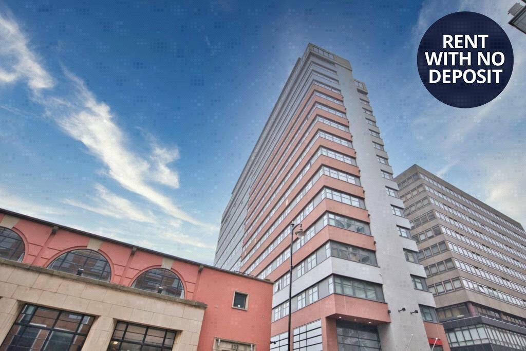
APARTMENT 276
BRINDLEY HOUSE, 101, NEWHALL STREET, BIRMINGHAM, WEST MIDLANDS B3 1LL
£875 pcm
Property details
Floor area
46 m²
Council tax band
C
Year built
England and Wales: 2003-2006
Deprivation
Decile 7 (21,807 of 33,755)
Street crime
1654 incidents within 1 mile (Apr 2026)
Key features
- One Double Bedroom
- City Centre Location
- Easy Walking Distance to St Pauls Square
- Secure Allocated Parking
- Fully Furnished
- Available Early July
- EPC Rating C
- Council Tax Band C
Additional details
- Parking
- Yes
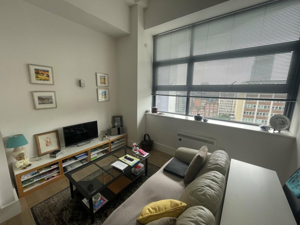
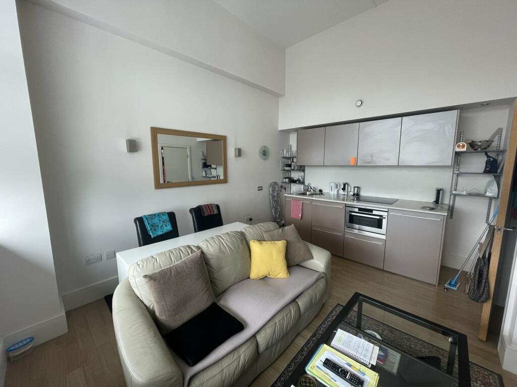
Description
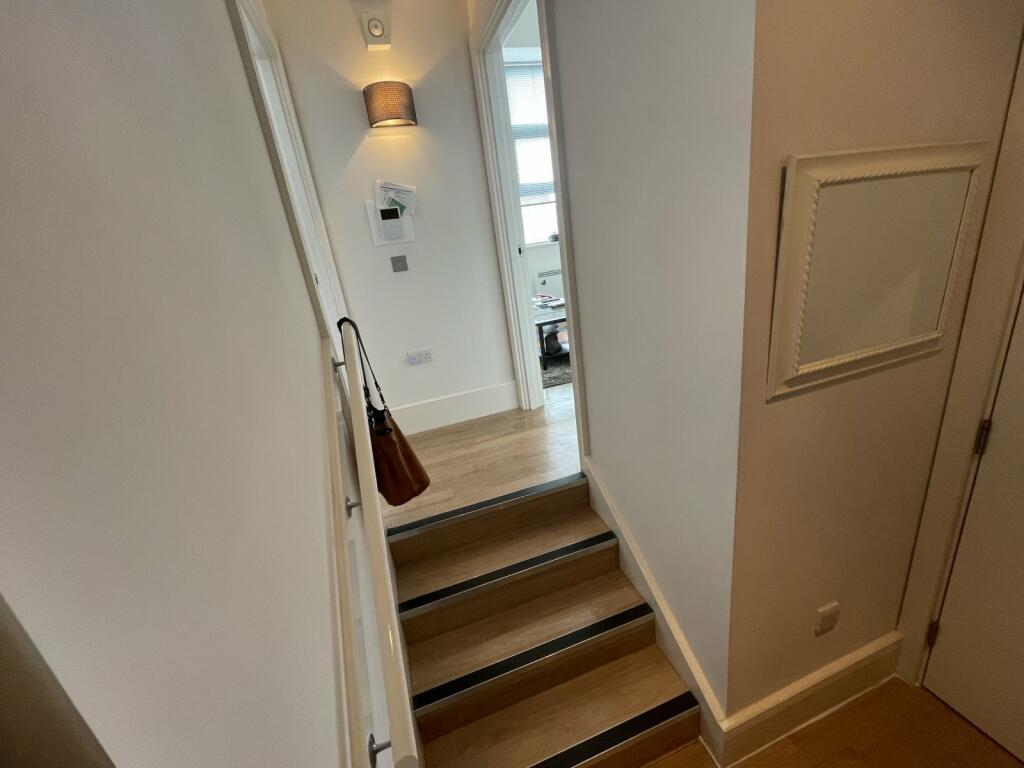
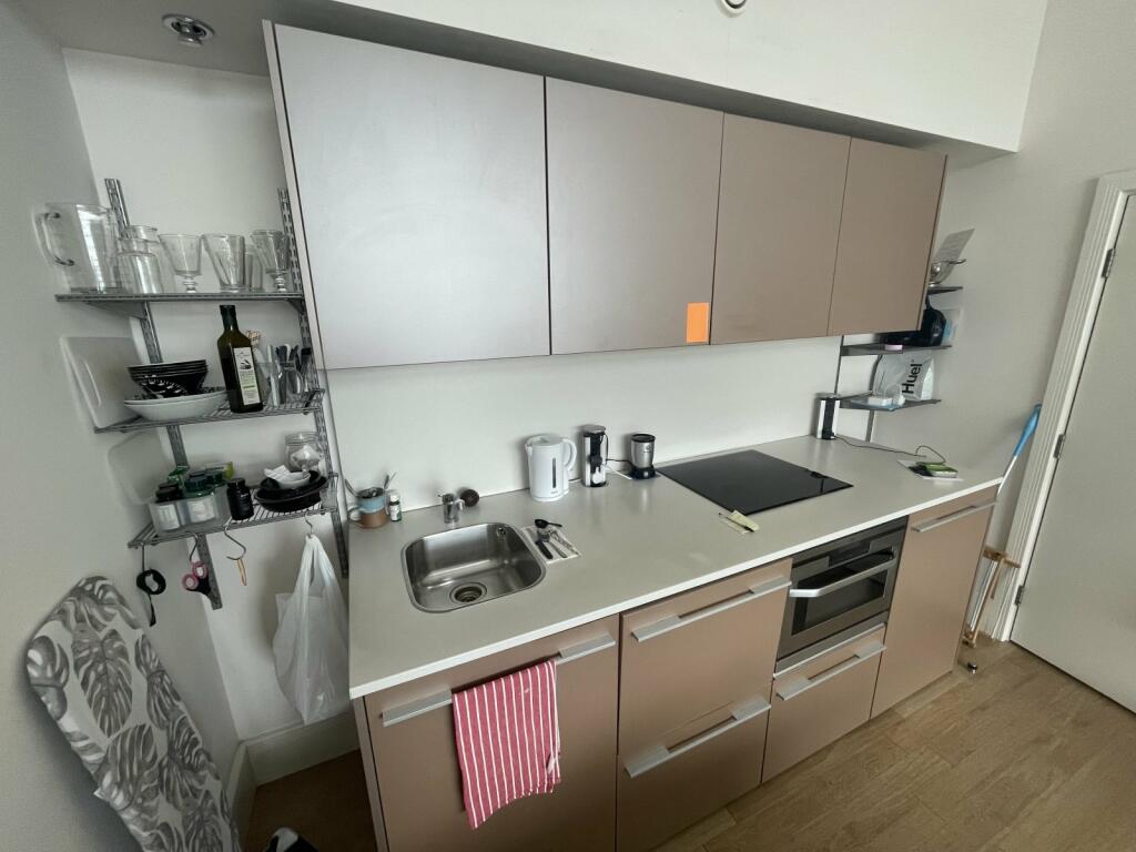
The property comprises an open plan kitchen/living area, Kitchen with modern units and all integrated appliances such as fridge with ice box, microwave oven and hob.
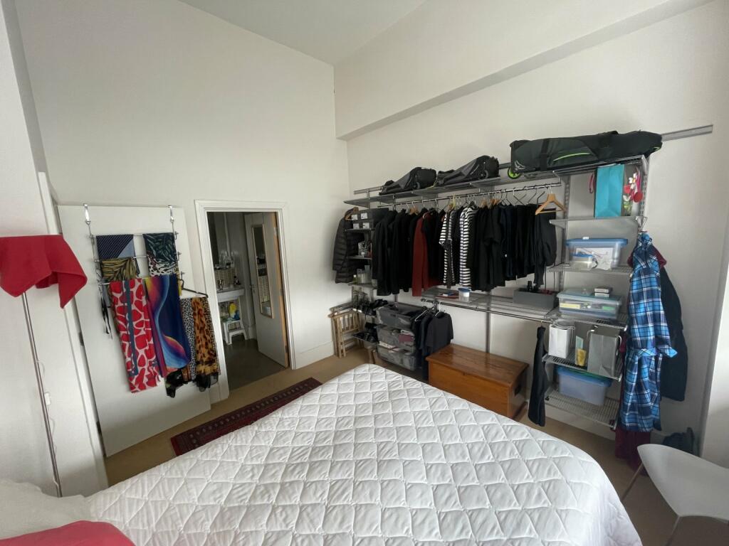
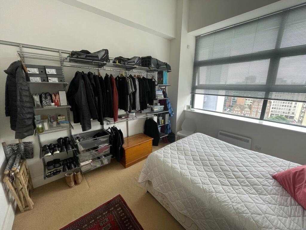
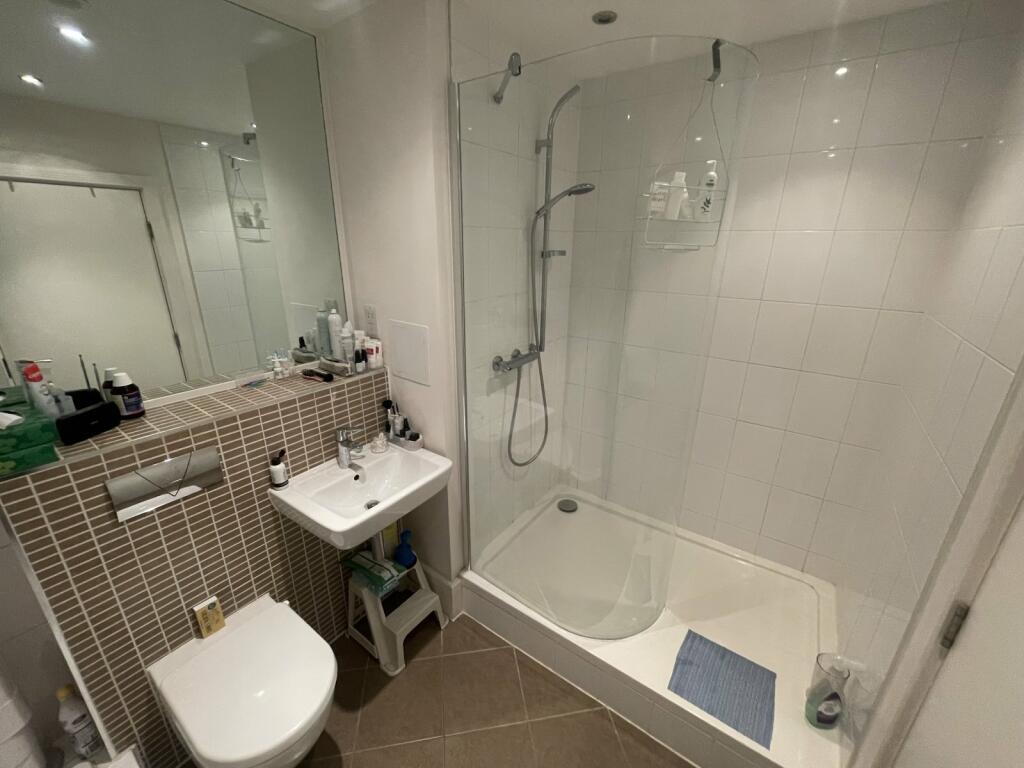
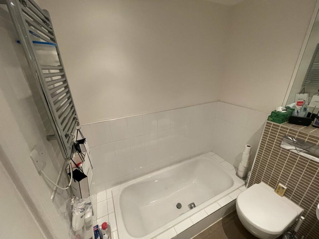
There is a double bedroom with a built in open facing fitted storage unit on the wall. En suite off the bedroom with a lowered bath tub and a sepearate shower cubicle.
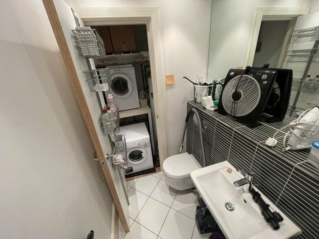
There is a further WC located off the hallway with a separate washing machine and drying machine.
Electric heating throughout and high ceilings.
Available Early July.
Listed by
Birmingham
The Lomond Group
Reference: 148578188
EPC Rating & Upgrade Cost
Fetching EPC data… Refresh this page in a moment.
Flood risk
Zone: 2
Risk: In flood risk area
Environment Agency Flood Risk Areas (APSFR)
Rental Range
Estimated market rent for Birmingham. Low = conservative, Realistic = average, Optimistic = best case.
Based on Local Authority from postcode lookup → Birmingham.
LHA (30th percentile) floor for Birmingham: £693/mo (Apr 2025 – Mar 2026)
Location
Address
101 Newhall Street
Nearby
Nearest stations, universities and amenities (distance from property).
| Type | Name | Distance |
|---|---|---|
| Shop | Paré Hair Club | 0.0 miles |
| Bus stop | NH4 | 0.0 miles |
| Bus stop | NH3 | 0.0 miles |
| Shop | Co-op Food | 0.0 miles |
| University | University College Birmingham | 0.1 miles |
| Hospital | Birmingham Chest Clinic | 0.1 miles |
| University | UCB | 0.1 miles |
| Train station | Birmingham Snow Hill | 0.2 miles |
| Hospital | Birmingham Children's Hospital | 0.5 miles |
| Train station | Birmingham New Street | 0.5 miles |
Street-level crime
| Category | Count |
|---|---|
| Violence and sexual offences | 638 |
| Shoplifting | 246 |
| Other theft | 152 |
| Public order | 126 |
| Criminal damage and arson | 104 |
| Drugs | 93 |
| Vehicle crime | 81 |
| Anti-social behaviour | 49 |
| Robbery | 44 |
| Burglary | 39 |
| Possession of weapons | 33 |
| Theft from the person | 32 |
| Other crime | 10 |
| Bicycle theft | 7 |
| Total incidents | 1654 |
Within 1 mile during Apr 2026. Source: data.police.uk (England & Wales).
Schools nearby
Nearest open schools with Ofsted ratings (England). Closed schools are not shown. Data from Get Information about Schools and Ofsted.
| Name | Type | Distance | Ofsted |
|---|---|---|---|
| University College Birmingham | Other | 0.1 miles | — (No rating) |
| City United Academy (CUA) | Other | 0.4 miles | Good — 6 Jul 2022 |
| Jewellery Quarter Academy | Secondary | 0.4 miles | Good — 7 Jul 2022 |
| Arc Oakbridge School | Other | 0.4 miles | Good — 9 Mar 2023 |
| Nelson Junior and Infant School | Primary | 0.5 miles | Good — 20 Apr 2015 |
Rental Comparables
Residential lets from OpenRent and Rightmove for the area (same bedroom count). Use to validate rent estimates. Student lets are excluded.
| Title | Rent | Beds | Distance | As seen on |
|---|---|---|---|---|
| 1 Bed Flat, Water Street Court, B3 | £995/mo | 1 | 0.07 miles | OpenRent |
| 1 Bed Flat, Lightwell, B3 | £900/mo | 1 | 0.15 miles | OpenRent |
| 1 Bed Flat, The Hub, B4 | £1,000/mo | 1 | 0.31 miles | OpenRent |
| Studio Flat, Paradise St, B1 | £960/mo | 1 | 0.33 miles | OpenRent |
| 1 Bed Flat, Newton Chambers, B2 | £1,100/mo | 1 | 0.4 miles | OpenRent |
| 1 Bed Flat, Orion Building, B5 | £1,000/mo | 1 | 0.42 miles | OpenRent |
| 1 Bed Flat, Orion Building, B5 | £1,000/mo | 1 | 0.44 miles | OpenRent |
Average rent: £994/mo (7 listings)