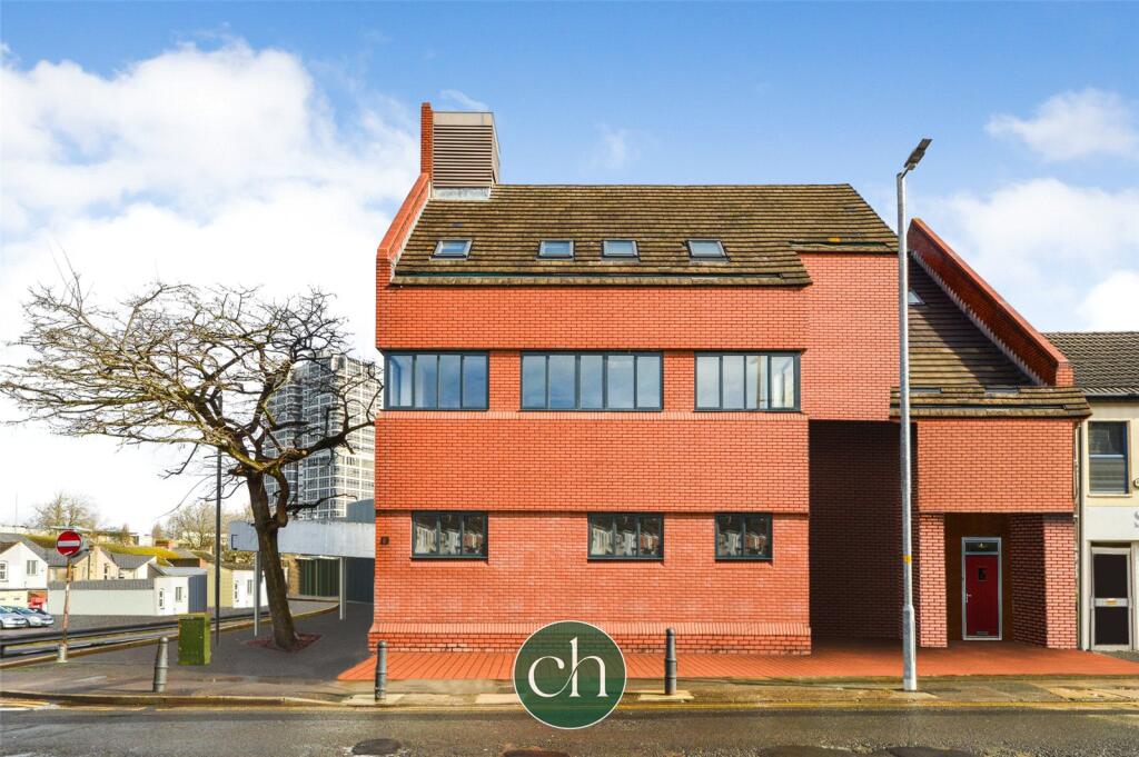
FLAT 2
BANK BUILDING, 84 - 86, COMMERCIAL ROAD, SWINDON, SWINDON SN1 5FE
£700 pcm
Property details
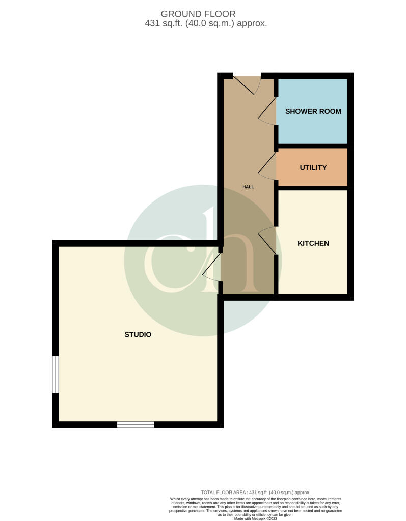
Floor area
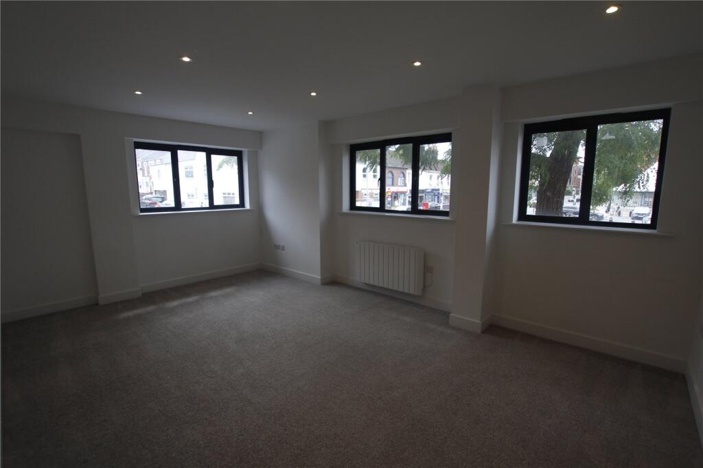
41 m²
Council tax band
TBC
Street crime
742 incidents within 1 mile (Apr 2026)
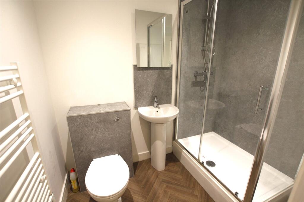
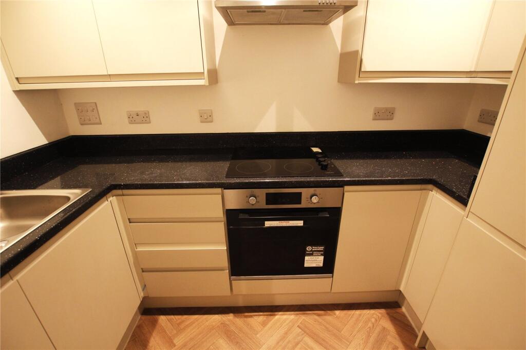
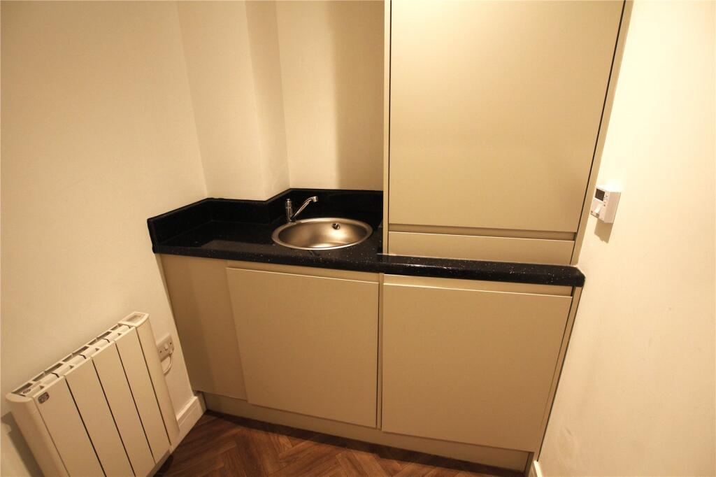
Description
EPC C, COUNCIL TAX BAND A - AVAILABLE BEGINNING OF JULY
Listed by
Swindon
Charles Harding Estate Agents
Reference: 163364462
EPC Rating & Upgrade Cost
Fetching EPC data… Refresh this page in a moment.
Flood risk
Zone: 1
Risk: Low
Job (default Low)
Rental Range
Estimated market rent for South West. Low = conservative, Realistic = average, Optimistic = best case.
Based on Postcode area SN → South West.
LHA (30th percentile) floor for Swindon: £673/mo (Apr 2025 – Mar 2026)
Location
Address
84-86 Commercial Road
Nearby
Nearest stations, universities and amenities (distance from property).
| Type | Name | Distance |
|---|---|---|
| Shop | StudioBrows | 0.0 miles |
| Shop | Inspire Hair & Beauty | 0.0 miles |
| Bus stop | Commercial Road | 0.1 miles |
| Bus stop | Farnsby Street | 0.1 miles |
| University | Royal Agricultural University (Cultural Heritage Institute) | 0.3 miles |
| Train station | Swindon | 0.5 miles |
| Hospital | Marlborough House | 0.8 miles |
| University | Oxford Brookes University - Swindon Campus | 1.3 miles |
| Train station | Richard Jefferies Halt | 2.1 miles |
| Hospital | The Ridgeway Hospital | 2.3 miles |
Street-level crime
| Category | Count |
|---|---|
| Violence and sexual offences | 241 |
| Anti-social behaviour | 141 |
| Shoplifting | 83 |
| Public order | 61 |
| Criminal damage and arson | 58 |
| Vehicle crime | 51 |
| Other theft | 35 |
| Drugs | 16 |
| Robbery | 14 |
| Bicycle theft | 13 |
| Other crime | 9 |
| Burglary | 8 |
| Possession of weapons | 7 |
| Theft from the person | 5 |
| Total incidents | 742 |
Within 1 mile during Apr 2026. Source: data.police.uk (England & Wales).
Schools nearby
Nearest open schools with Ofsted ratings (England). Closed schools are not shown. Data from Get Information about Schools and Ofsted.
| Name | Type | Distance | Ofsted |
|---|---|---|---|
| Holy Rood Catholic Primary School | Primary | 0.3 miles | Good — 30 Jun 2022 |
| UTC Swindon | Secondary | 0.4 miles | Requires improvement — 25 Jun 2024 |
| King William Street Church of England Primary School | Primary | 0.5 miles | Good — 13 Nov 2019 |
| Robert Le Kyng Primary School | Primary | 0.5 miles | Good — 12 Oct 2011 |
| Drove Primary School | Primary | 0.6 miles | Good — 23 Jul 2024 |
Rental Comparables
Rental comparables are temporarily unavailable while listing-site fetches are paused. Try again later.