Lynwood
Church Lane, High Toynton, Near Horncastle, LN9 6NN
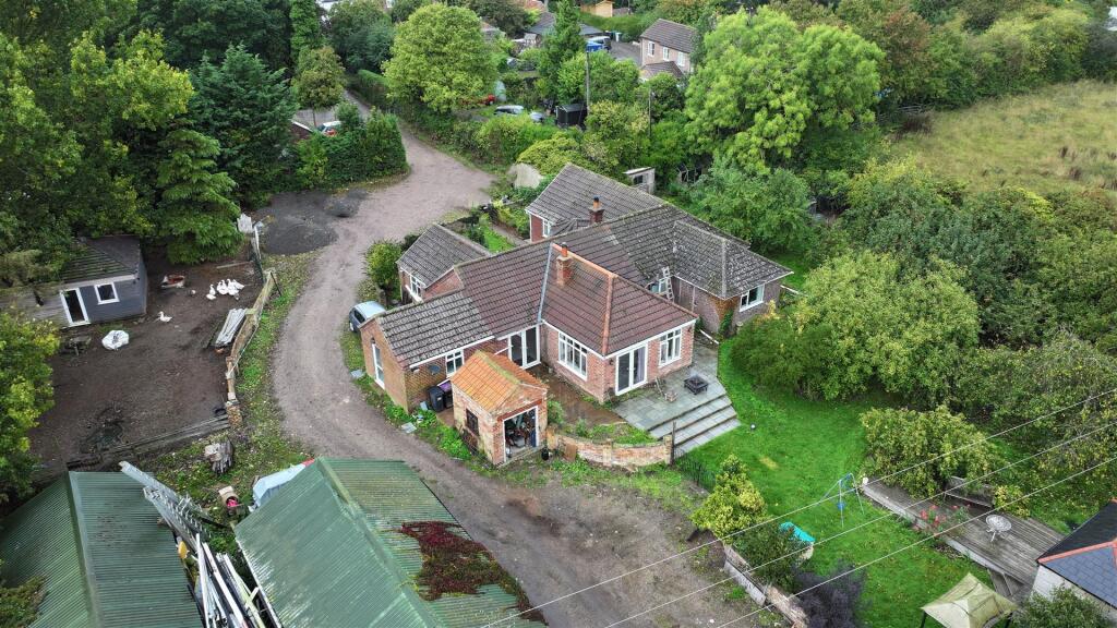
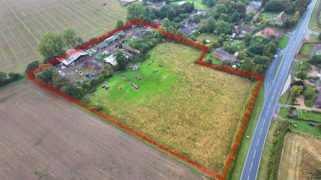
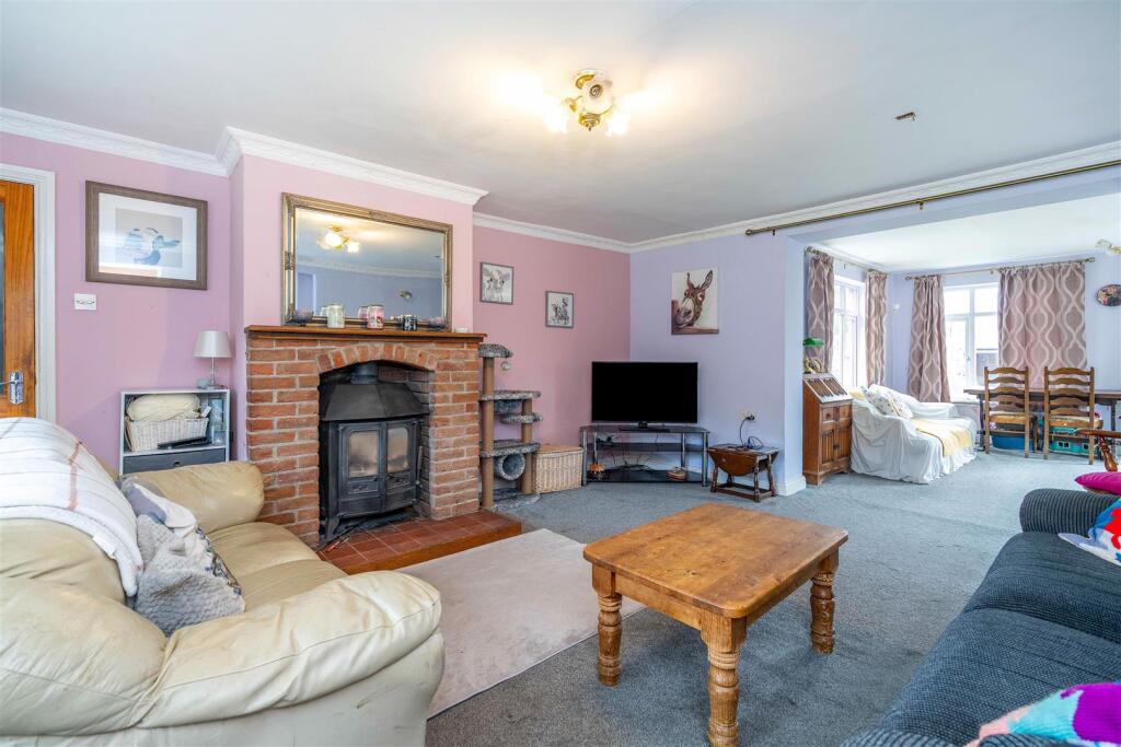
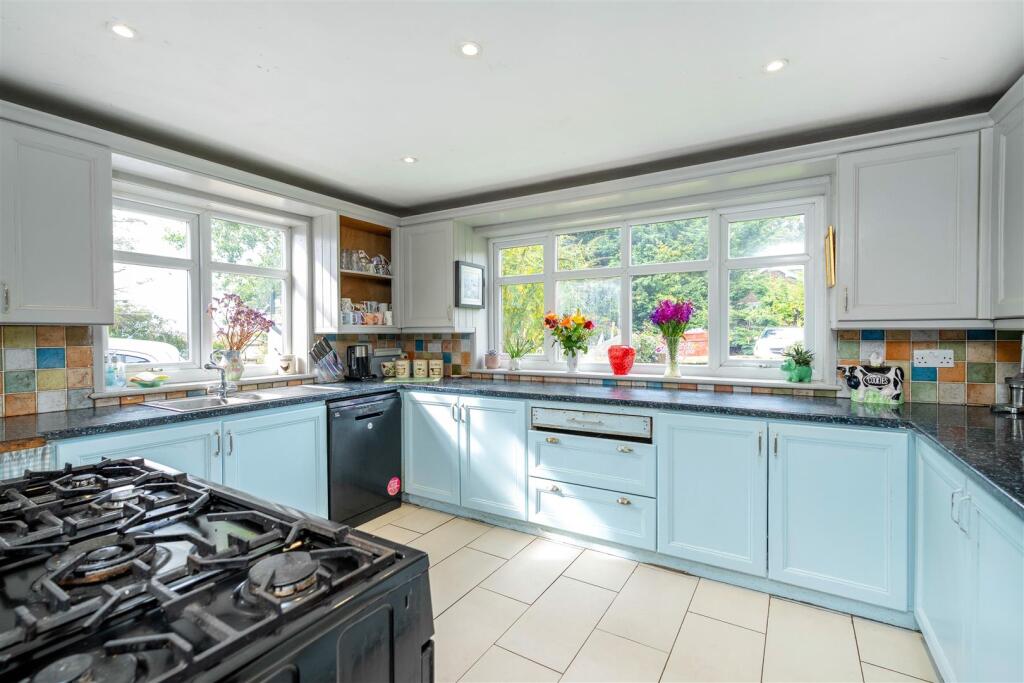
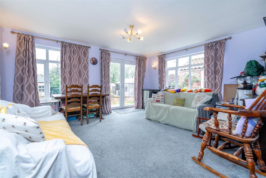
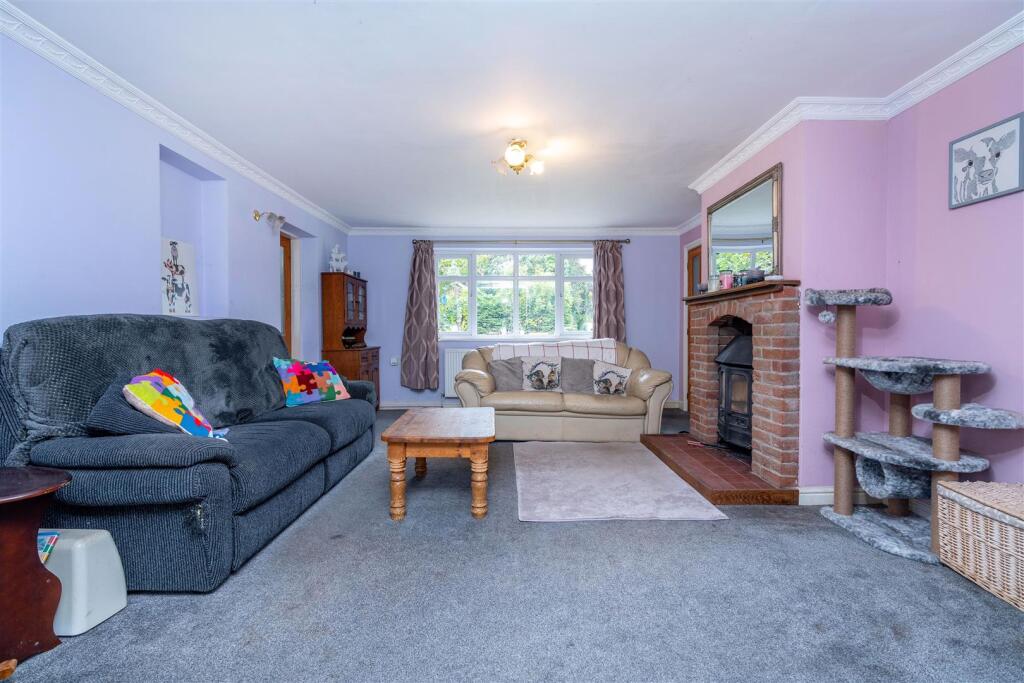
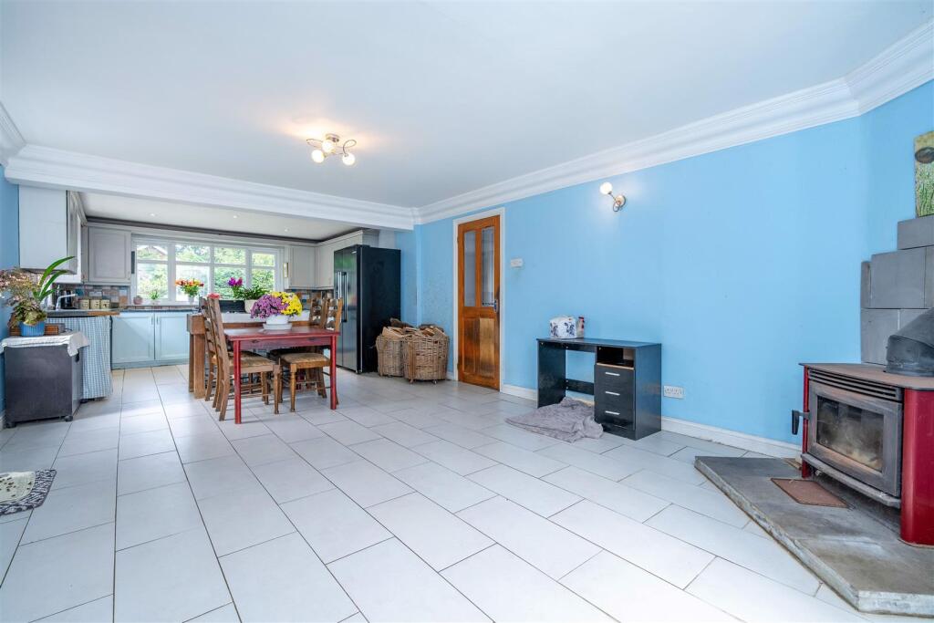
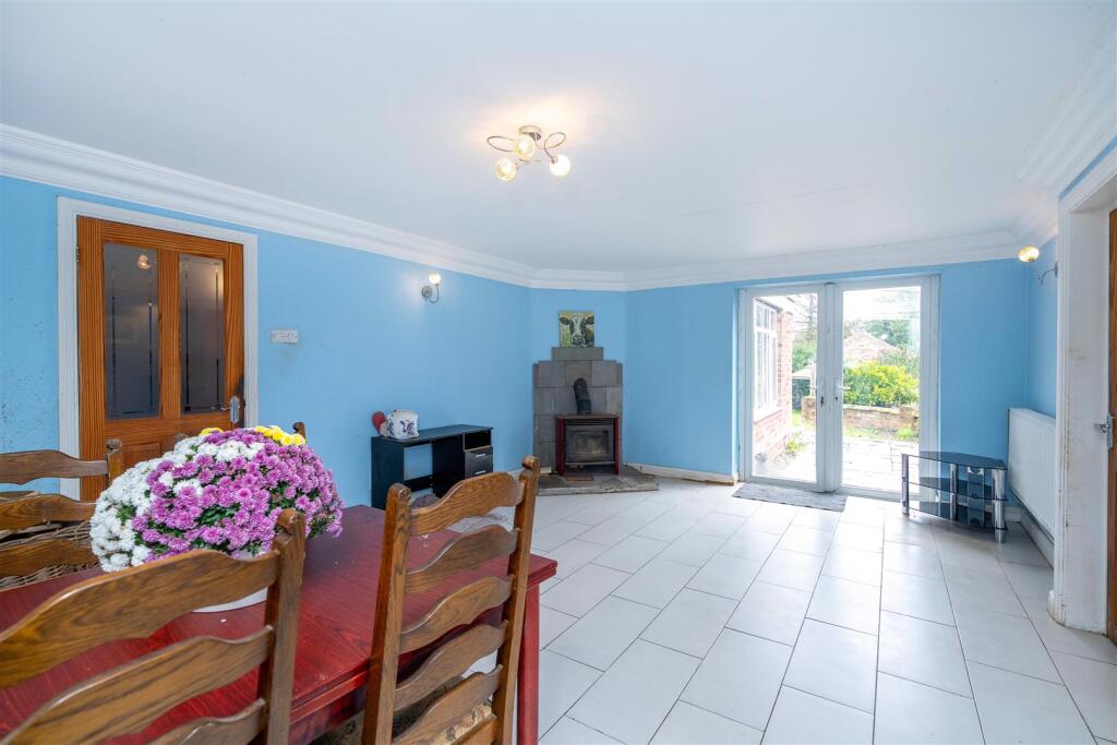
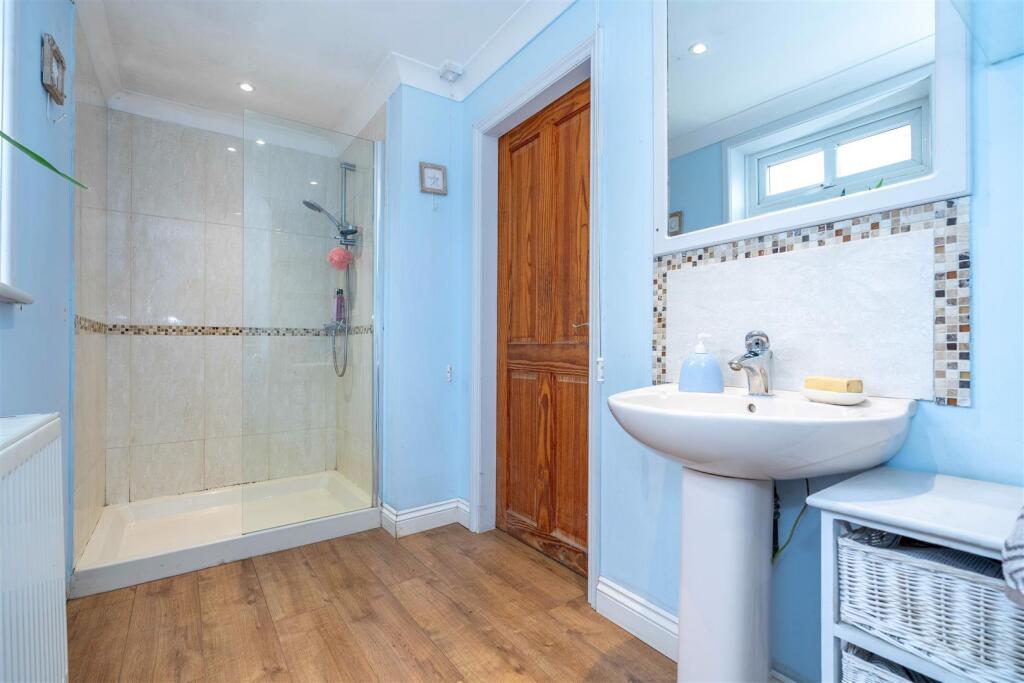
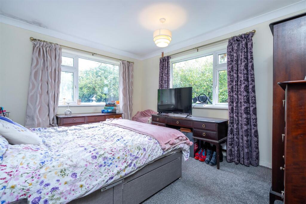
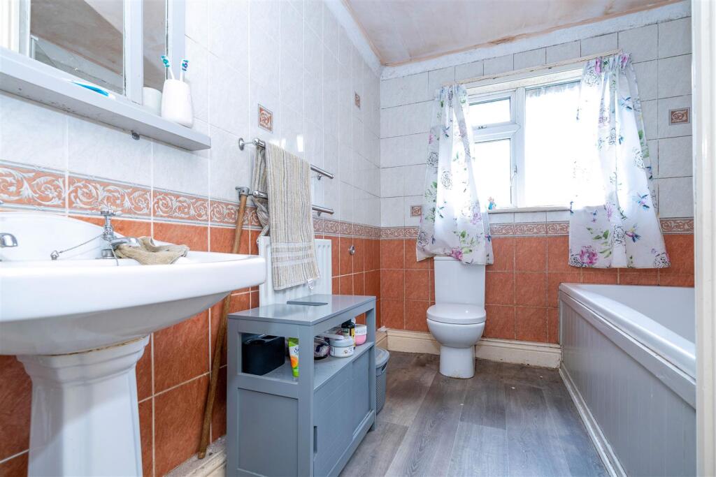
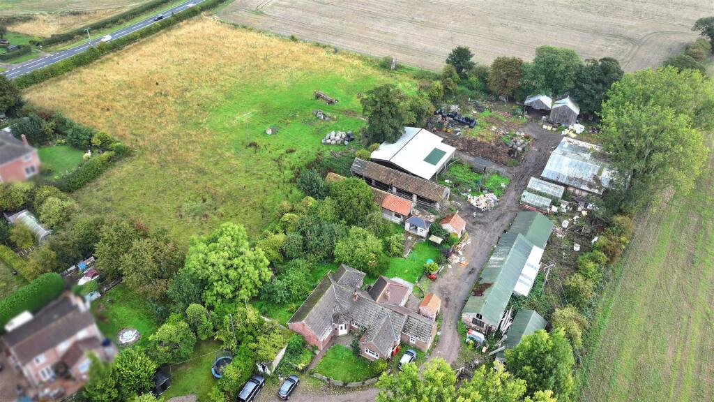
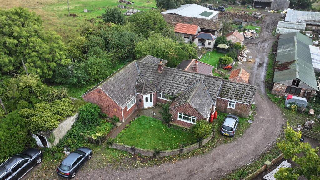
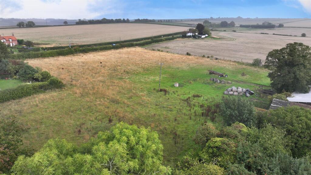
Photo 1 Photo 2 Photo 3 Photo 4 Photo 5 Photo 6 Photo 7 Photo 8 Photo 9 Photo 10 Photo 11 Photo 12 Photo 13 Photo 14
/ 14
Property details
Tenure
FREEHOLD
Council tax band
C
Local average
£309,602 (+89%)
Deprivation
Decile 5 (14,767 of 33,755)
Street crime
0 incidents within 1 mile (Aug 2026)
Key features
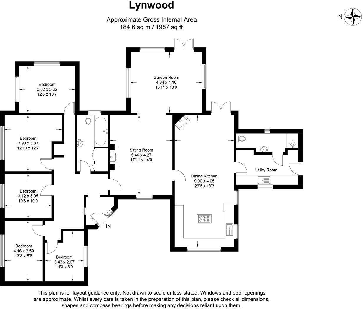
- Spacious 5 Bedroom Bungalow
- Plot Totalling 4.4 Acres (sts)
- Including 2.7 acre Paddock (sts)
- Yard and Range of Outbuildings
- Lincolnshire Wolds Location
Additional details
- Garden
- Yes
Description
Located on the eastern edge of High Toynton, a hamlet in classic mid-Lincolnshire countryside, the property is close to the South-Eastern extremity of the designated National Landscape area of the Lincolnshire Wolds and convenient for Horncastle, just one mile away. This Georgian market town provides amenities, shops, cafes and bars, leisure and both primary and secondary education including a Grammar School. The city of Lincon and the seaside resort of Skegness are within easy driving distance,
Listed by
Horncastle
Robert Bell & Company
Reference: 173934236
EPC ratings on this postcode
We don't have a matched EPC for this property yet. Below are efficiency scores and details for other addresses on this postcode.
| Address | Current | Potential | Floor area | Age band | Type |
|---|---|---|---|---|---|
| Alison Bell Fabric Designs, Gravel Pit Cottages, Church Lane, High Toynton, HORNCASTLE | 35 | 64 | 219 m² | England and Wales: before 1900 | Detached |
| Alison Bell Fabric Designs, Gravel Pit Cottages, Church Lane, High Toynton, HORNCASTLE | 36 | 65 | 219 m² | England and Wales: before 1900 | Detached |
| CARTREF, CHURCH LANE, HIGH TOYNTON, HORNCASTLE | 51 | 73 | 131 m² | England and Wales: 1976-1982 | Detached |
| Cartref, Church Lane, High Toynton, HORNCASTLE | 52 | 63 | 162 m² | England and Wales: 1976-1982 | Detached |
| COWBELL COTTAGE, CHURCH LANE, HIGH TOYNTON, HIGH TOYNTON | 42 | 102 | 91 m² | England and Wales: before 1900 | Detached |
| Cowbell Cottage, Church Lane, High Toynton, HORNCASTLE | 26 | 40 | — | England and Wales: before 1900 | — |
| FOREMANS COTTAGE, CHURCH LANE, HIGH TOYNTON, HIGH TOYNTON | 48 | 96 | 119 m² | England and Wales: before 1900 | Detached |
| Garth, Church Lane, High Toynton, HORNCASTLE | 47 | 63 | — | England and Wales: 1983-1990 | 1 |
| Lees Holm, Church Lane, High Toynton, HORNCASTLE | 47 | 96 | 62 m² | England and Wales: 1930-1949 | Detached |
| Lees Holm, Church Lane, High Toynton, HORNCASTLE | 32 | 45 | 71 m² | England and Wales: 1950-1966 | Detached |
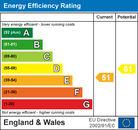
| Lynwood, Church Lane, High Toynton, HORNCASTLE | 51 | 61 | 175 m² | England and Wales: 1950-1966 | Detached |
| Lynwood, Church Lane, High Toynton, HORNCASTLE | 39 | 87 | 124 m² | England and Wales: 1930-1949 | Detached |
| Shepherds Cottage, Church Lane, High Toynton, HORNCASTLE | 51 | 65 | 69 m² | England and Wales: 1950-1966 | Detached |
| The Clock House, Church Lane, High Toynton, HORNCASTLE | 86 | 90 | 286 m² | — | Detached |
| The Clock House, Church Lane, High Toynton, HORNCASTLE | 38 | 84 | 156 m² | England and Wales: 1983-1990 | Detached |
Flood risk
Zone: 1
Risk: Low
Job (default Low)
Registered land (INSPIRE)
This location is outside the imported HM Land Registry INSPIRE registered freehold polygons.
Source: HM Land Registry INSPIRE Index Polygons.
Floorplans
Floorplan 1
EPC Graphs
EE Rating
Price history
| Event | Date | Price | % change |
|---|---|---|---|
| Listed for sale | — | £585,000 | — |
Source: HM Land Registry Price Paid Data. Crown copyright.
Sold Comparables
Sold comparables data is not available for this property.
Capital growth trend
Land Registry outcode average: last 12 months vs 5y and 10y ago (from sold prices).
House Price Index (HM Land Registry — official index, not sold-price averages): East Lindsey. Series: Detached. As of July 2026.
Rental Range
Estimated market rent for East Lindsey. Low = conservative, Realistic = average, Optimistic = best case.
Based on Local Authority from postcode lookup → East Lindsey.
LHA (30th percentile) floor for Wolds and Coast: £673/mo (Apr 2025 – Mar 2026)
Location
Nearby
Nearest stations, universities and amenities (distance from property).
| Type | Name | Distance |
|---|---|---|
| Bus stop | Tetford Road | 0.1 miles |
| Shop | Lawence Shaw Antiques | 1.3 miles |
| Shop | Old Hat | 1.4 miles |
| Hospital | Horncastle War Memorial Hospital | 1.4 miles |
Street-level crime
| Category | Count |
|---|---|
| Total incidents | 0 |
Within 1 mile during Aug 2026. Source: data.police.uk (England & Wales).
Schools nearby
Nearest open schools with Ofsted ratings (England). Closed schools are not shown. Data from Get Information about Schools and Ofsted.
| Name | Type | Distance | Ofsted |
|---|---|---|---|
| St Lawrence School | Other | 1.2 miles | Good — 14 Nov 2014 |
| Horncastle Primary School | Primary | 1.3 miles | Good — 19 Jun 2024 |
| The Banovallum School | Secondary | 1.3 miles | Good — 10 Jan 2018 |
| Queen Elizabeth's Grammar School, Horncastle | Secondary | 1.8 miles | Good — 1 Jul 2024 |
Rental Comparables
Rental comparables data is not available for this property.
Rent-driven metrics
Based on Area rent estimate.
- Rent ratio — Monthly rent ÷ purchase price (1% rule). 1%+ = strong, 0.8–1% = okay, <0.8% = weak for cashflow.
- Max investor price — Rent ÷ 0.8%; the price at which rent would be 0.8% of price (Stoke-style target).
- Target investor price — Rent ÷ 1%; the price at which rent would be 1% of price (strong cashflow band).
- Gross yield — Annual rent as % of purchase price (no costs).
Enter House Number
Enter the house number to help us retrieve more accurate pricing history and property data.
Please log in to submit or correct the house number for this listing.
Log in to continue