13 UPPER HEATH ROAD
ST ALBANS, HERTFORDSHIRE AL1 4DN
Picture No. 37 Picture No. 11 Picture No. 30 Picture No. 08 Picture No. 12 Picture No. 15 Picture No. 14 Picture No. 29 Picture No. 20 Picture No. 24 Picture No. 19 Picture No. 27 Picture No. 10 Picture No. 22 Picture No. 25 Picture No. 21 Picture No. 18 Picture No. 28 Picture No. 09 Picture No. 33
/ 20
Property details
Tenure
FREEHOLD
Floor area
137 m²
Council tax band
F
EPC rating
E
Last sold
£975,000 Jan 2026
Price per m²
£7,299/m²
Local average
£576,000 (+73.6%)
Deprivation
Decile 10 (32,027 of 33,755)
Street crime
330 incidents within 1 mile (May 2026)
Additional details
- Parking
- Yes
- Garden
- Yes
Description
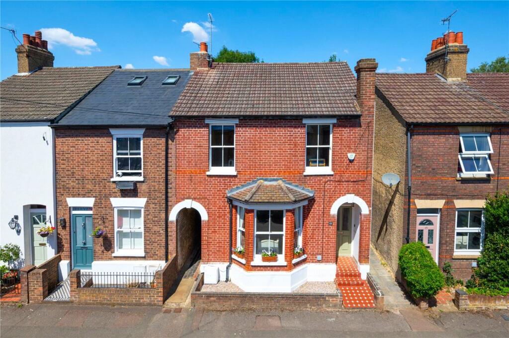
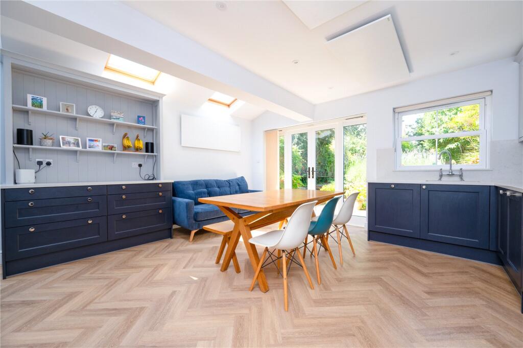
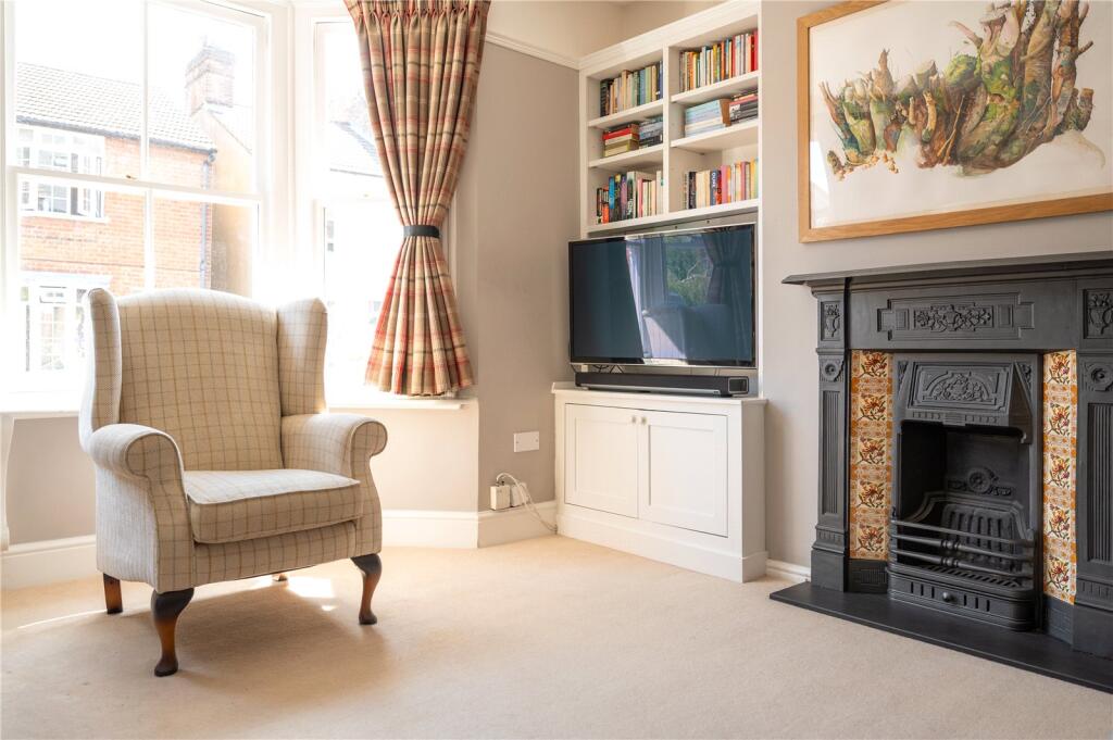
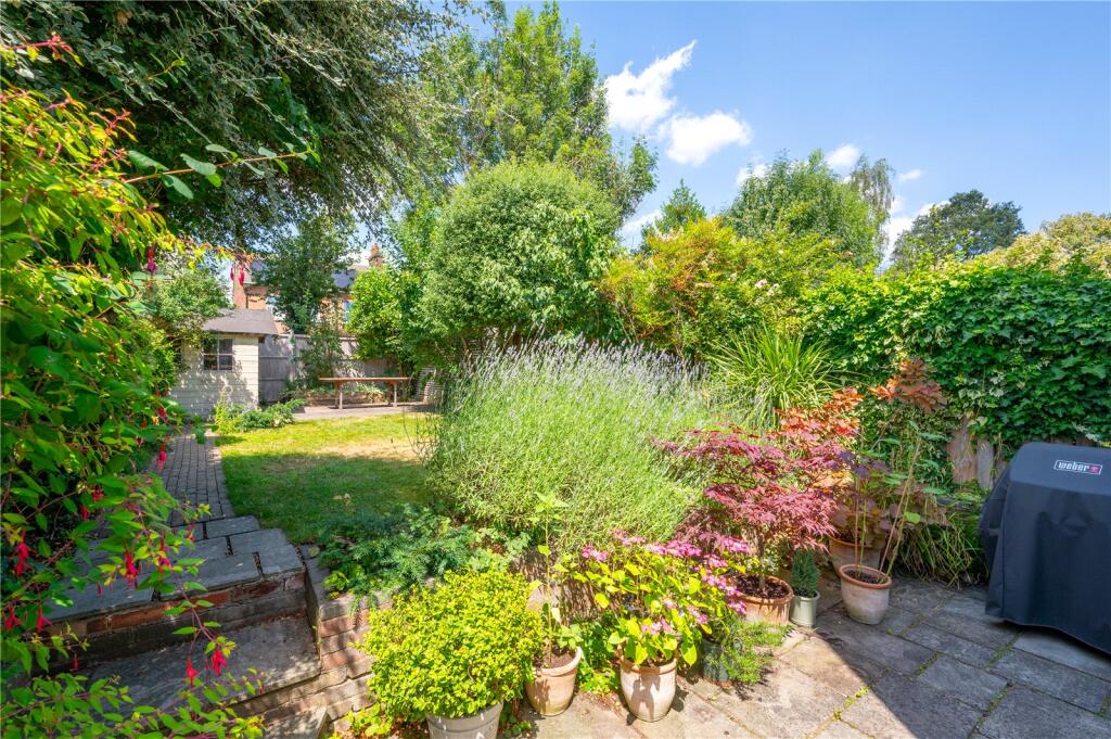
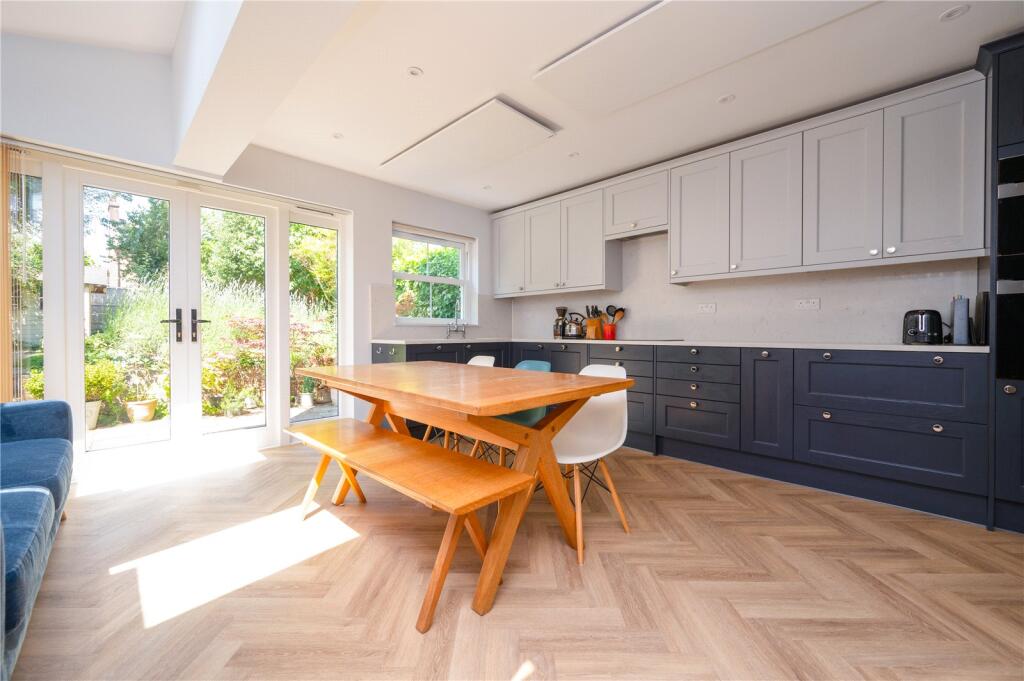
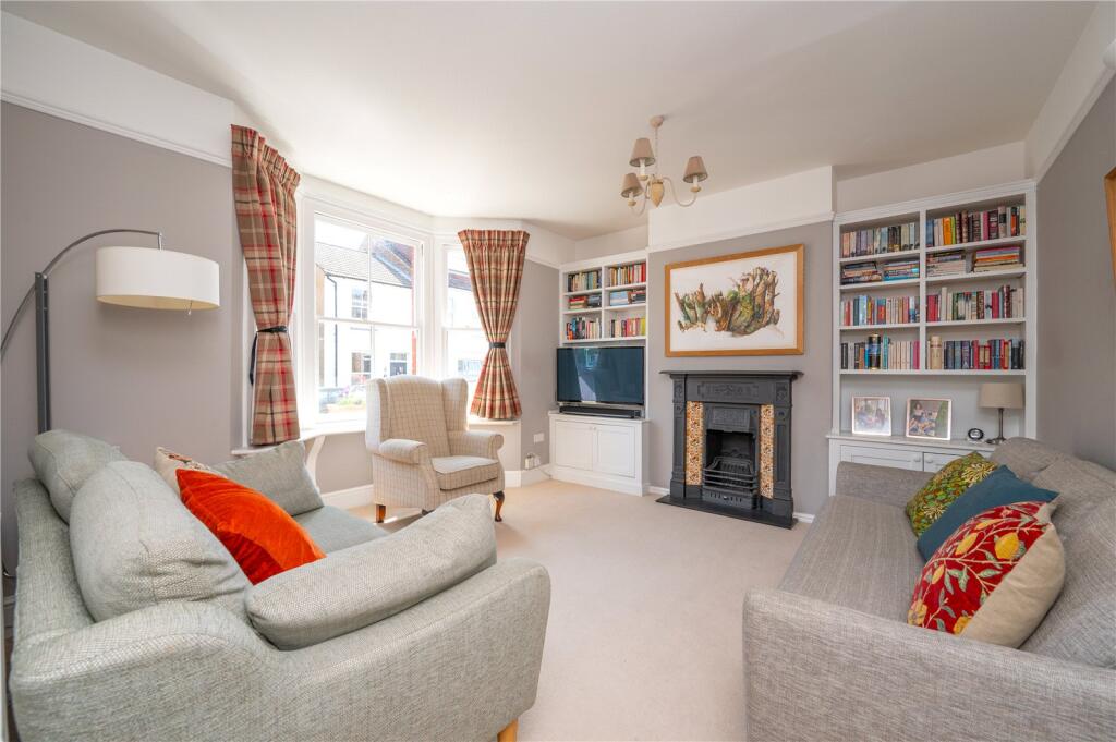
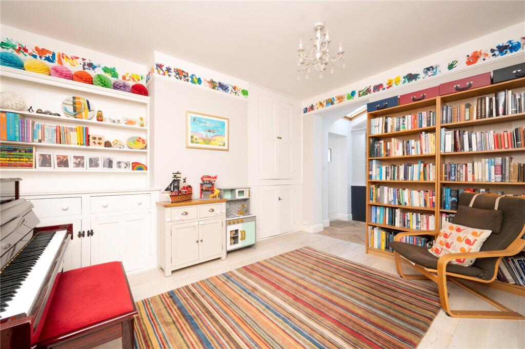
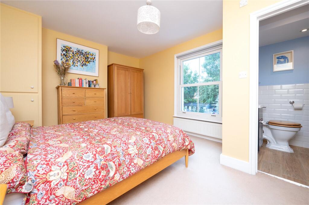
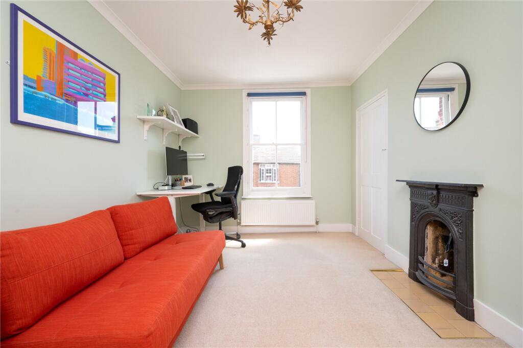
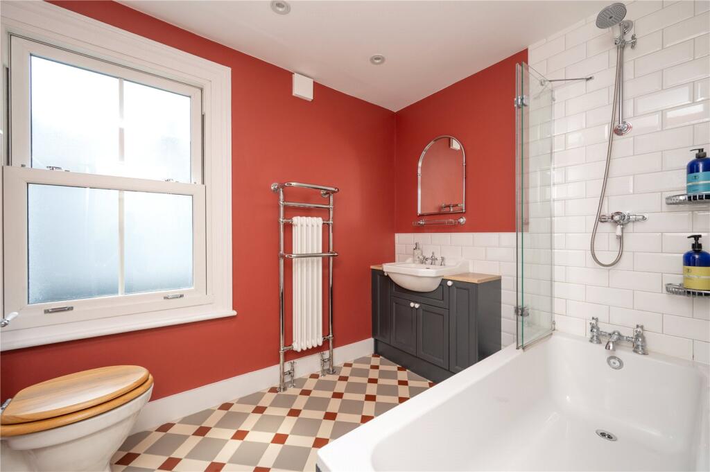
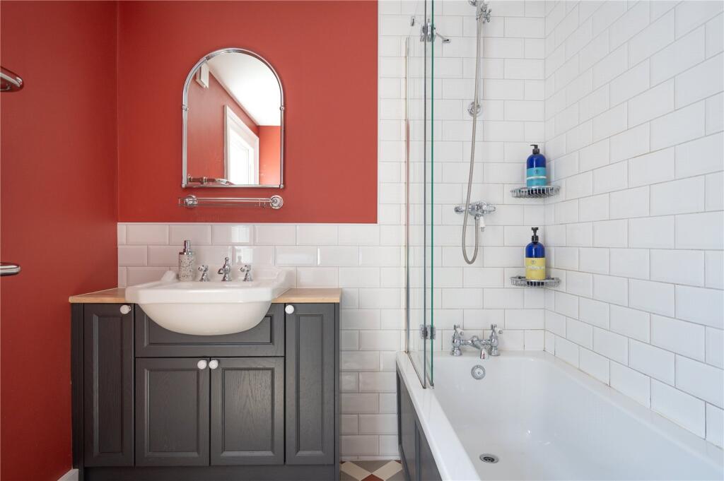
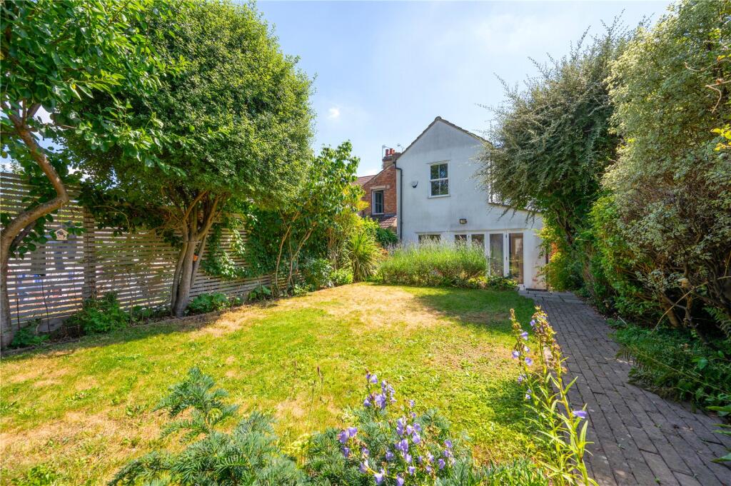
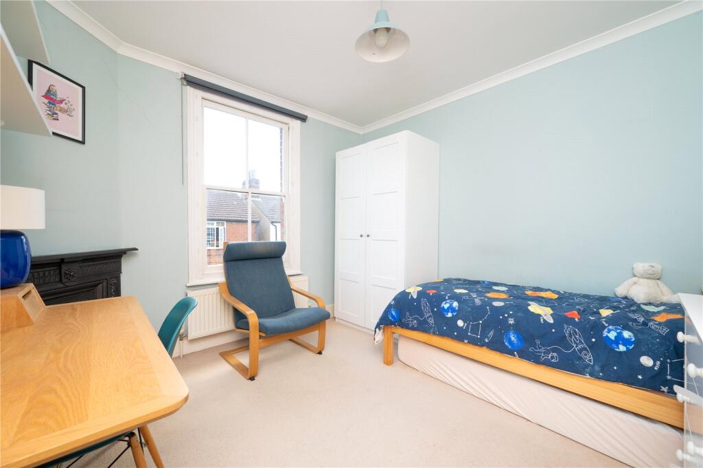
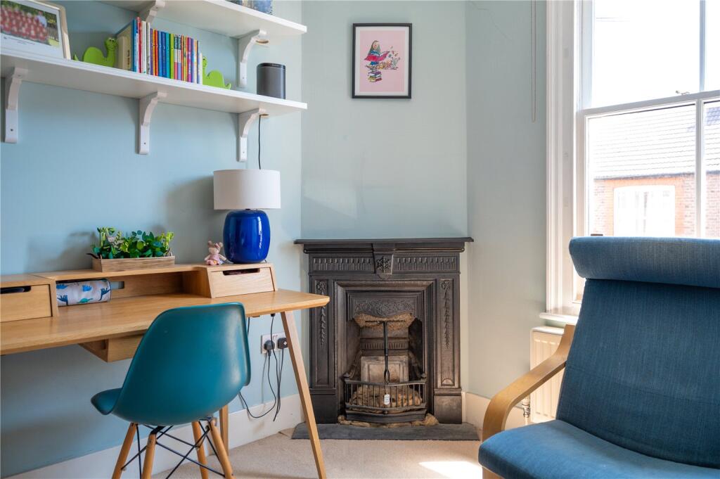
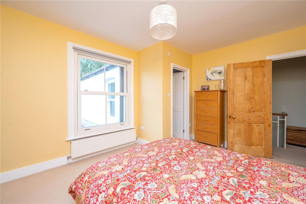
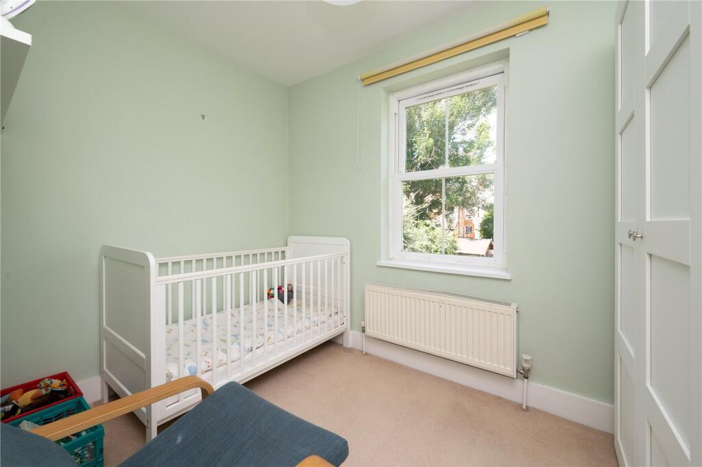
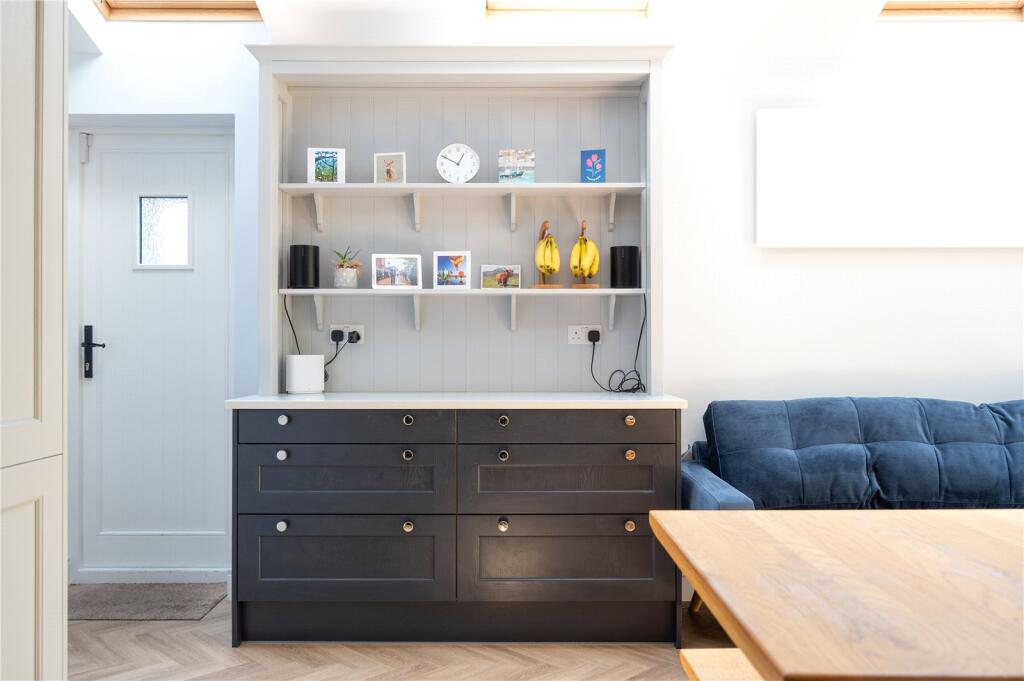
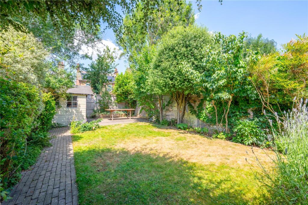
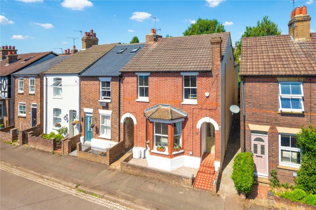
This tastefully extended period residence offers over 1,500 sq ft of beautifully appointed living space, with the heart of the home being a stunning, light-filled kitchen/dining room, a truly impressive space designed for both everyday living and entertaining. Complementing the ground floor is an elegant bay-fronted lounge, an additional versatile reception room, and a stylish cloakroom, all finished to a high standard. Upstairs, the first floor presents four generously proportioned bedrooms, including a luxurious principal suite with a contemporary en-suite bathroom, alongside a spacious and well-appointed family bathroom. Outside, the property enjoys a good-sized, secluded rear garden with a desirable westerly aspect, beautifully stocked with a variety of mature plants, shrubs, and trees. Two patio areas and gated side access complete this delightful home.
EPC Rating: E 52
Council Tax Band: F
Listed by
St Albans
Collinson Hall
Reference: 164494262
EPC Rating & Upgrade Cost
Current rating: E
Potential rating: C
Inspection date: 14/07/2025
Expiry date: 13/07/2035
Current heating cost: £2,240/year
Potential heating cost: £1,397/year
Est. upgrade cost to C: £25,750
Recommendations
- 50 mm internal or external wall insulation (£7,500 - £11,000)
- Floor insulation (suspended floor) (£5,000 - £10,000)
- Solar photovoltaic panels, 2.5 kWp (£8,000 - £10,000)
Flood risk
Zone: 1
Risk: Low
Job (default Low)
Floorplans
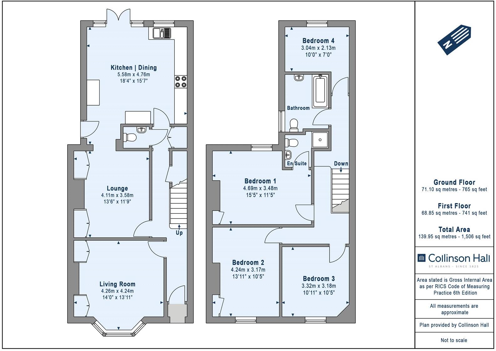
Picture No. 01
EPC Graphs
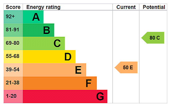
EPC Rating Graph
FENSA Certificates
This property has 1 FENSA certificate(s) on record, indicating window/door installations by FENSA-approved installers.
FENSA Certificate #14792020 Recent
Property Details
Street: 13 Upper Heath Road
Town: ST. ALBANS
Postcode: AL1 4DN
Installation Details
Items: 2 doors
Certificate Issued: 19/09/2021
Work Completed: 26/08/2021
This certificate data was retrieved from FENSA's database
What is FENSA? FENSA (Fenestration Self-Assessment Scheme) is a government-authorised scheme that monitors building regulation compliance for replacement windows and doors. Certificates indicate that work was completed by FENSA-approved installers.
Price history
14% since 2018
| Event | Date | Price | % change |
|---|---|---|---|
| Sold | 16/01/2026 (6 months ago) | £975,000 | +13.9% |
| Sold | 13/11/2018 (7 years ago) | £856,000 | — |
Source: HM Land Registry Price Paid Data. Crown copyright.
Sold Comparables
Same street and nearby sales within 0.25 miles (last 5 years). Data from Land Registry Price Paid.
| Address | Price | Date | Type |
|---|---|---|---|
| Same street 39 UPPER HEATH ROAD, ST ALBANS, HERTFORDSHIRE, AL1 4DN | £525,000 | 27/03/2025 | Terraced |
| Same street 5 UPPER HEATH ROAD, ST ALBANS, HERTFORDSHIRE, AL1 4DN | £710,000 | 14/12/2022 | Semi-detached |
| Same street 14 UPPER HEATH ROAD, ST ALBANS, HERTFORDSHIRE, AL1 4DN | £498,000 | 09/12/2022 | Terraced |
| Same street 7 UPPER HEATH ROAD, ST ALBANS, HERTFORDSHIRE, AL1 4DN | £738,000 | 25/10/2022 | Semi-detached |
| Same street 2 UPPER HEATH ROAD, ST ALBANS, HERTFORDSHIRE, AL1 4DN | £1,007,250 | 23/08/2022 | Detached |
| Same street 1 UPPER HEATH ROAD, ST ALBANS, HERTFORDSHIRE, AL1 4DN | £585,000 | 09/08/2022 | Terraced |
| Same street 19 UPPER HEATH ROAD, ST ALBANS, HERTFORDSHIRE, AL1 4DN | £558,120 | 09/08/2022 | Terraced |
| Same street 26 UPPER HEATH ROAD, ST ALBANS, HERTFORDSHIRE, AL1 4DN | £1,333,000 | 02/08/2022 | Detached |
| Same street 20 UPPER HEATH ROAD, ST ALBANS, HERTFORDSHIRE, AL1 4DN | £605,000 | 04/05/2022 | Terraced |
| Same street 3 UPPER HEATH ROAD, ST ALBANS, HERTFORDSHIRE, AL1 4DN | £550,000 | 18/01/2022 | Detached |
| Same street 12 UPPER HEATH ROAD, ST ALBANS, HERTFORDSHIRE, AL1 4DN | £580,000 | 29/10/2021 | Semi-detached |
Street average: £699,034 (11 sales)
Capital growth trend
Land Registry outcode average: last 12 months vs 5y and 10y ago (from sold prices).
House Price Index (HM Land Registry — official index, not sold-price averages): St Albans. Series: All dwelling types. As of April 2026.
Rental Range
Estimated market rent for St Albans. Low = conservative, Realistic = average, Optimistic = best case.
Based on Local Authority from postcode lookup → St Albans.
LHA (30th percentile) floor for Bedford: £1,296/mo (Apr 2025 – Mar 2026)
Location
Nearby
Nearest stations, universities and amenities (distance from property).
| Type | Name | Distance |
|---|---|---|
| Shop | Londis | 0.1 miles |
| Bus stop | Boundary Road | 0.1 miles |
| Shop | Wilde About Hair | 0.5 miles |
| Train station | St Albans City | 0.7 miles |
| Train station | St Albans Abbey | 1.3 miles |
| University | Unknown | 3.6 miles |
| University | University of Hertfordshire | 6.5 miles |
| Hospital | Watford General Hospital | 8.4 miles |
| Hospital | Luton and Dunstable Hospital | 11.3 miles |
Street-level crime
| Category | Count |
|---|---|
| Violence and sexual offences | 82 |
| Anti-social behaviour | 81 |
| Other theft | 34 |
| Criminal damage and arson | 27 |
| Vehicle crime | 22 |
| Public order | 17 |
| Drugs | 16 |
| Shoplifting | 15 |
| Burglary | 13 |
| Robbery | 6 |
| Bicycle theft | 5 |
| Other crime | 4 |
| Possession of weapons | 4 |
| Theft from the person | 4 |
| Total incidents | 330 |
Within 1 mile during May 2026. Source: data.police.uk (England & Wales).
Schools nearby
Nearest open schools with Ofsted ratings (England). Closed schools are not shown. Data from Get Information about Schools and Ofsted.
| Name | Type | Distance | Ofsted |
|---|---|---|---|
| Bernards Heath Infant and Nursery School | Primary | 0.1 miles | Good — 14 Nov 2011 |
| Bernards Heath Junior School | Primary | 0.3 miles | Good — 29 Jan 2024 |
| Heathlands School | Other | 0.3 miles | Outstanding — 6 Nov 2017 |
| St Albans High School for Girls | Other | 0.3 miles | — (No rating) |
| Maple Primary School | Primary | 0.4 miles | Good — 22 Nov 2021 |
Rental Comparables
Loading rental comparables for this postcode. Refresh in a few minutes.
Rent-driven metrics
Based on Area rent estimate.
- Rent ratio — Monthly rent ÷ purchase price (1% rule). 1%+ = strong, 0.8–1% = okay, <0.8% = weak for cashflow.
- Max investor price — Rent ÷ 0.8%; the price at which rent would be 0.8% of price (Stoke-style target).
- Target investor price — Rent ÷ 1%; the price at which rent would be 1% of price (strong cashflow band).
- Gross yield — Annual rent as % of purchase price (no costs).