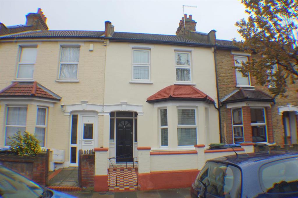
8 NORFOLK ROAD
ENFIELD, GREATER LONDON EN3 4BG
£1,300 pcm
Property details
Floor area
104 m²
EPC rating
D
Year built
England and Wales: before 1900
Deprivation
Decile 2 (6,190 of 33,755)
Street crime
622 incidents within 1 mile (Mar 2026)
Key features
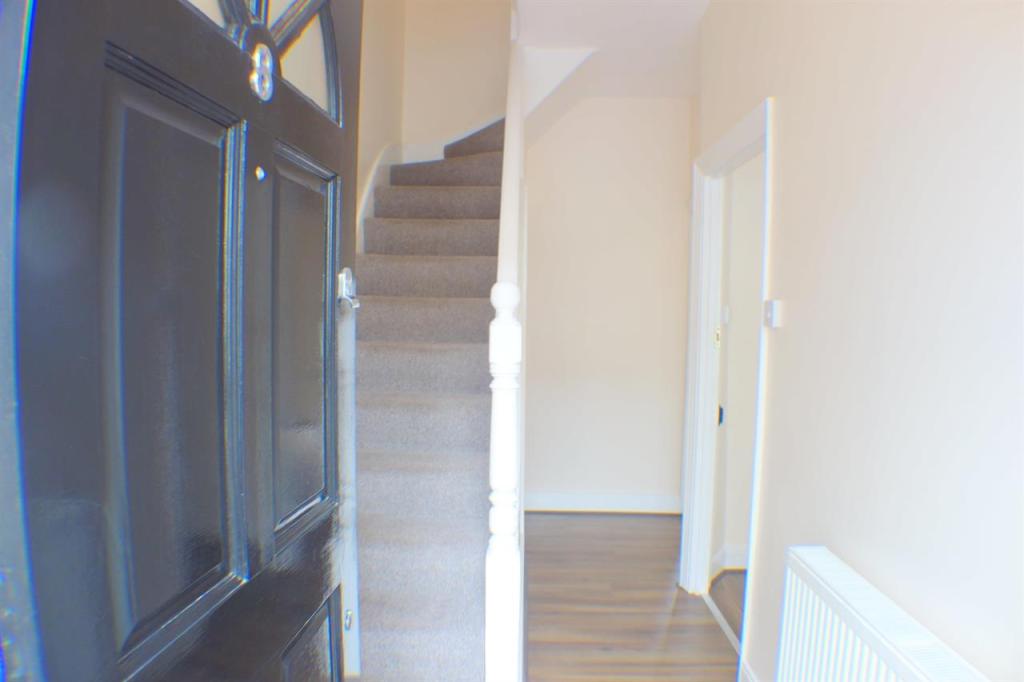
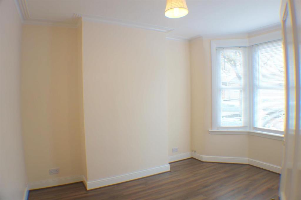
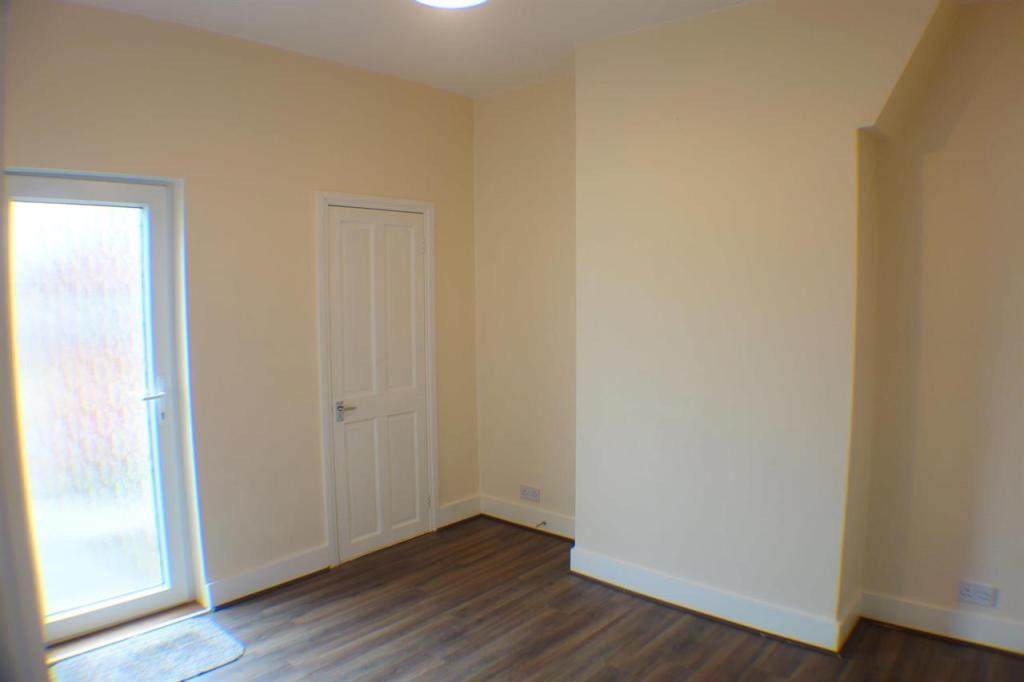
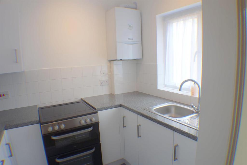
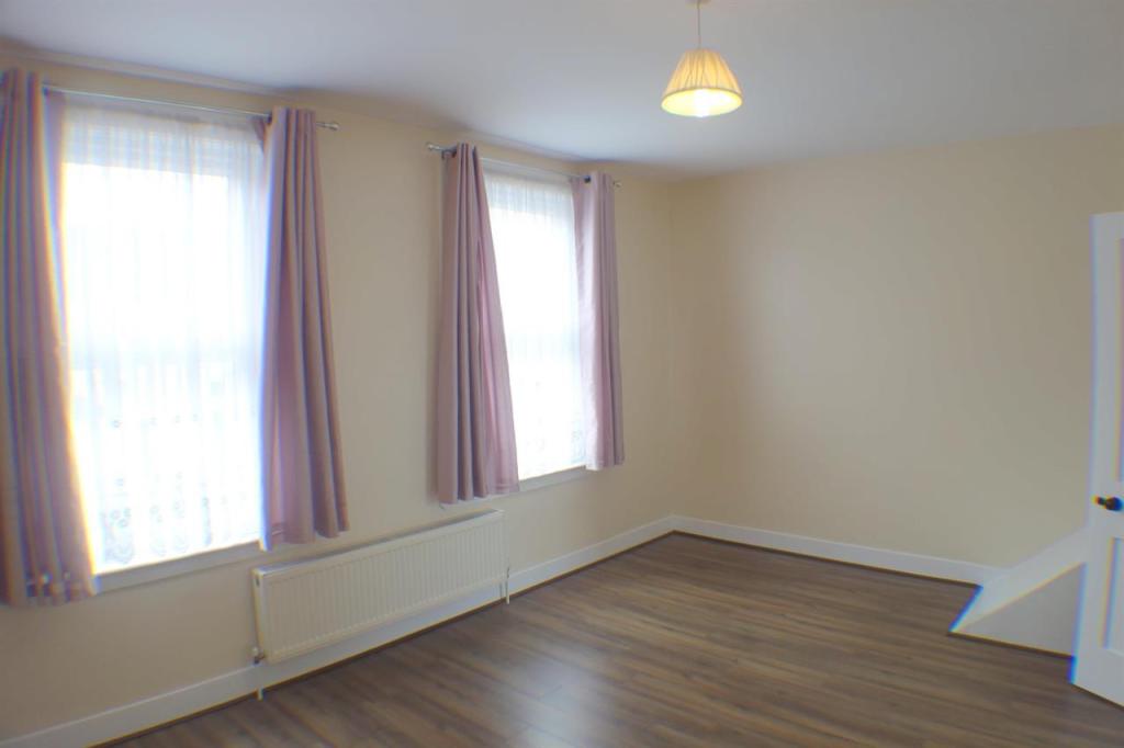
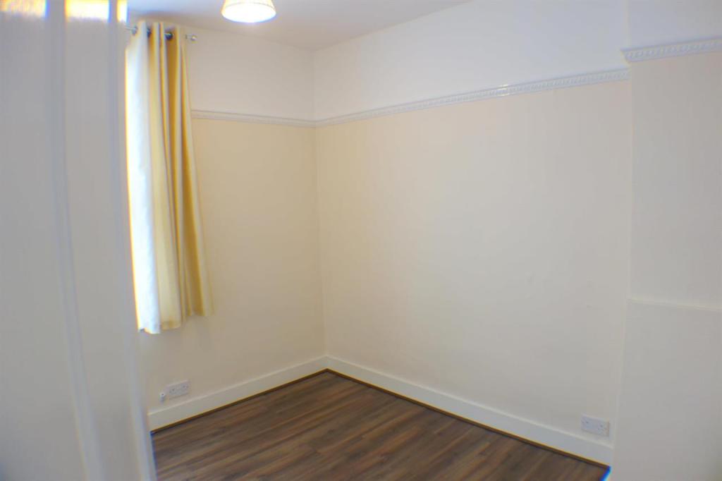
- Completely refurbished 2 bedroom house
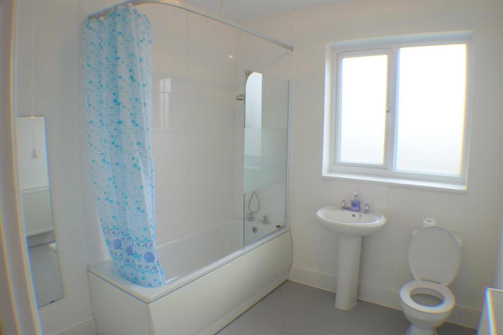
- Upstairs bathroom
- Very good condition throughout
- Gas central heating
- Double glazed
- Available Now
- First to view will take it!
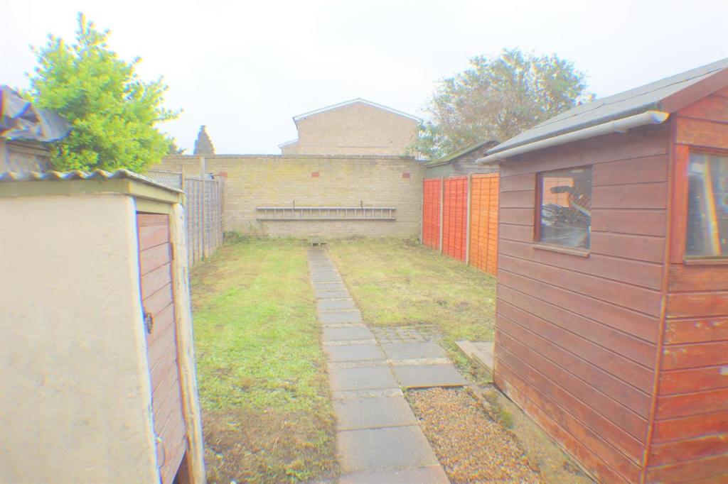
- Large Garden
Additional details
- Garden
- Yes
Description
Available now, please call for more info.
Listed by
Enfield
Whitehouse Residential
Reference: 80770490
EPC Rating & Upgrade Cost
Current rating: D
Potential rating: B
Inspection date: 25/04/2025
Current heating cost: £1,092/year
Potential heating cost: £694/year
Est. upgrade cost to C: £20,665
Recommendations
- Room-in-roof insulation (£1,500 - £2,700)
- 50 mm internal or external wall insulation (£4,000 - £14,000)
- Low energy lighting for all fixed outlets (£65)
- Solar water heating (£4,000 - £6,000)
- Solar photovoltaic panels, 2.5 kWp (£3,500 - £5,500)
Flood risk
Zone: 1
Risk: Low
Job (default Low)
Rental Range
Estimated market rent for Enfield. Low = conservative, Realistic = average, Optimistic = best case.
Based on Local Authority from postcode lookup → Enfield.
LHA (30th percentile) floor for Outer North London: £1,396/mo (Apr 2025 – Mar 2026)
Location
Nearby
Nearest stations, universities and amenities (distance from property).
| Type | Name | Distance |
|---|---|---|
| Bus stop | Hail & Ride Concord Road | 0.1 miles |
| Bus stop | Hail & Ride Suffolk Road | 0.1 miles |
| Shop | UK Garage | 0.2 miles |
| Shop | Belash Saree Centre | 0.2 miles |
| Train station | Southbury | 0.4 miles |
| Train station | Bush Hill Park | 0.7 miles |
| Hospital | North London Hospice Winchmore Hill | 2.1 miles |
| Hospital | Priory Hospital | 2.9 miles |
| University | University of Portsmouth Walthamstow Campus | 4.4 miles |
| University | Arden University Stratford Campus | 7.2 miles |
Street-level crime
| Category | Count |
|---|---|
| Violence and sexual offences | 152 |
| Anti-social behaviour | 109 |
| Shoplifting | 70 |
| Vehicle crime | 57 |
| Other theft | 45 |
| Burglary | 44 |
| Drugs | 33 |
| Theft from the person | 32 |
| Public order | 26 |
| Criminal damage and arson | 17 |
| Robbery | 17 |
| Other crime | 10 |
| Bicycle theft | 6 |
| Possession of weapons | 4 |
| Total incidents | 622 |
Within 1 mile during Mar 2026. Source: data.police.uk (England & Wales).
Schools nearby
Nearest open schools with Ofsted ratings (England). Closed schools are not shown. Data from Get Information about Schools and Ofsted.
| Name | Type | Distance | Ofsted |
|---|---|---|---|
| Heron Hall Academy | Secondary | 0.2 miles | Good — 24 Jul 2015 |
| St Matthew's CofE Primary School | Primary | 0.4 miles | Good — 25 Sep 2023 |
| Galliard Primary School | Primary | 0.5 miles | Outstanding — 25 Sep 2023 |
| Bush Hill Park Primary School | Primary | 0.5 miles | Good — 18 Jan 2018 |
| Southbury Primary School | Primary | 0.5 miles | Good — 14 Sep 2023 |
Rental Comparables
Residential lets from OpenRent and Rightmove for the area (same bedroom count). Use to validate rent estimates. Student lets are excluded.
| Title | Rent | Beds | Distance | As seen on |
|---|---|---|---|---|
| 2 Bed Maisonette, Sandhurst Road, N9 | £550/mo | 2 | 0.4 miles | OpenRent |
| 2 Bed Maisonette, Sandhurst Road, N9 | £600/mo | 2 | 0.4 miles | OpenRent |
Average rent: £575/mo (2 listings)