Chelford Road
Somerford, CW12, CW12 4QD
£2,995 pcm
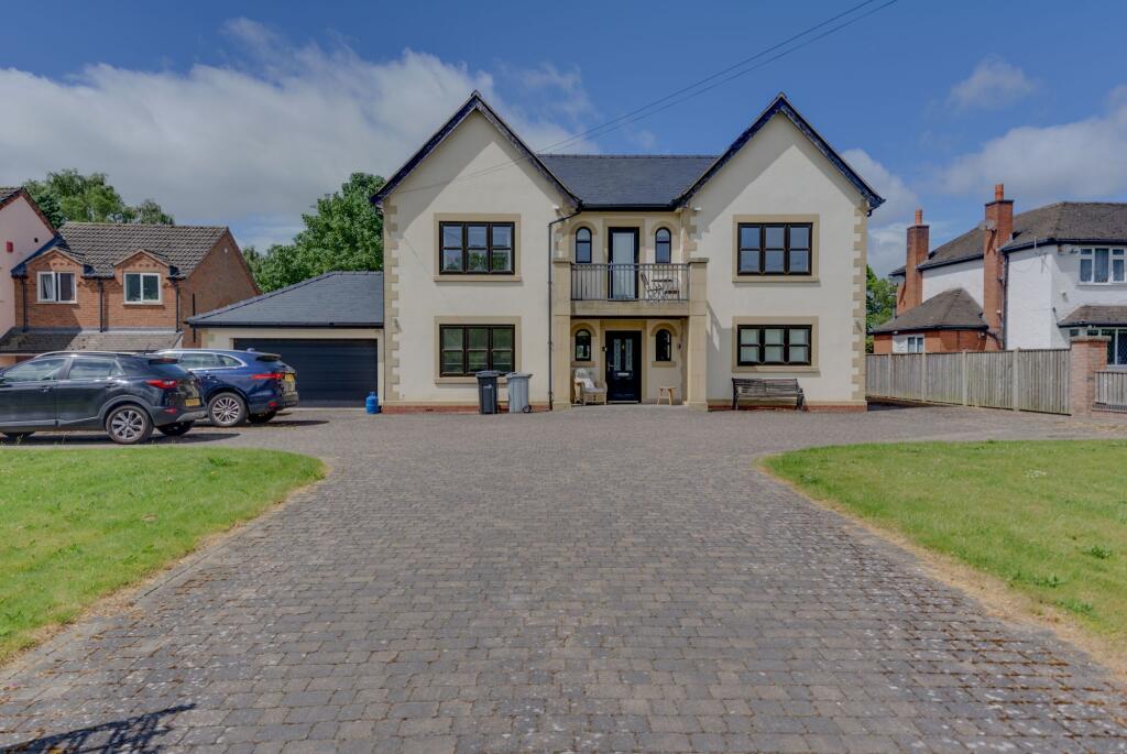
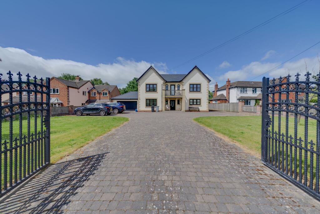
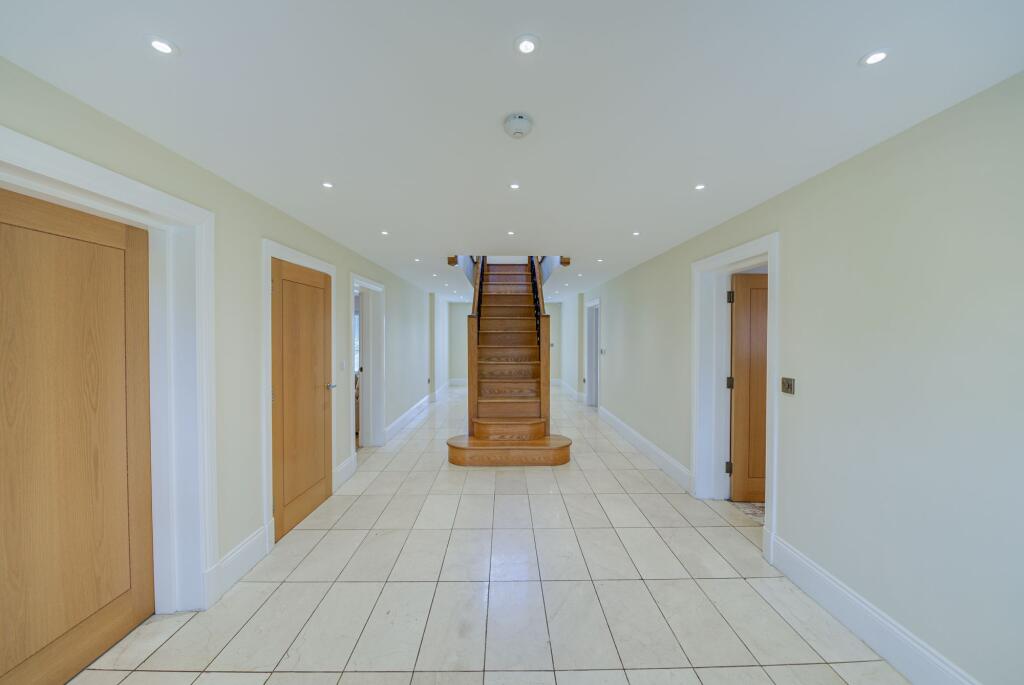
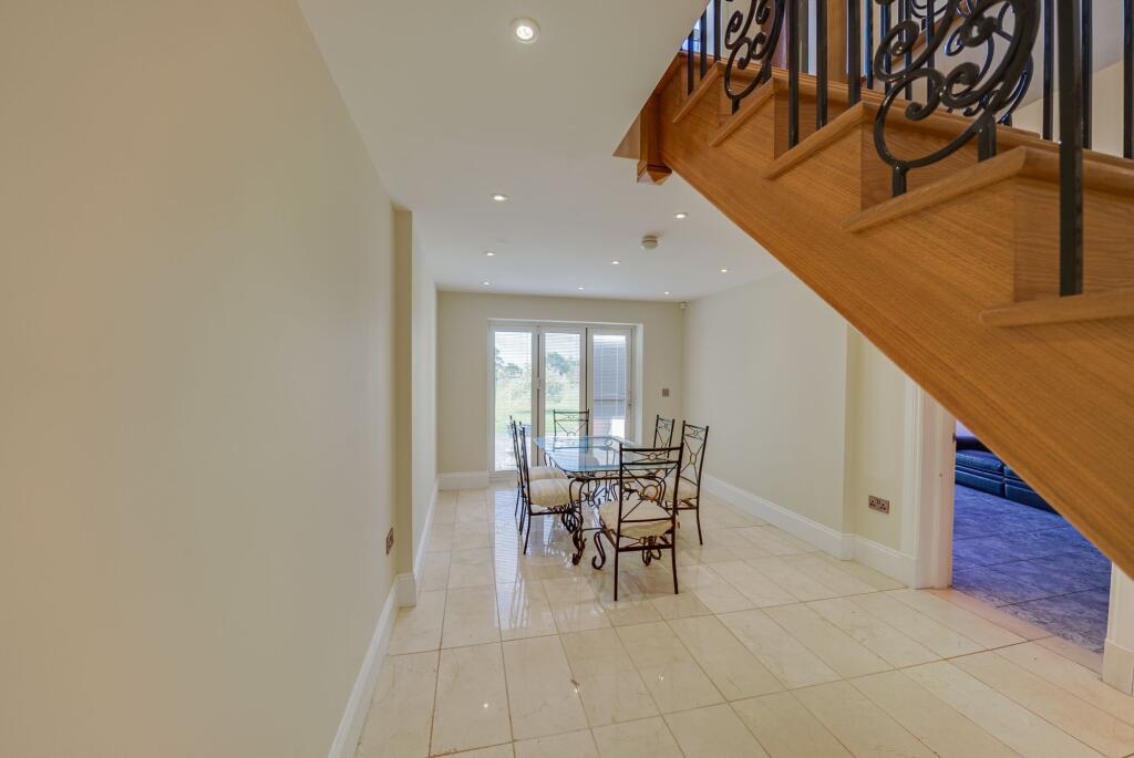
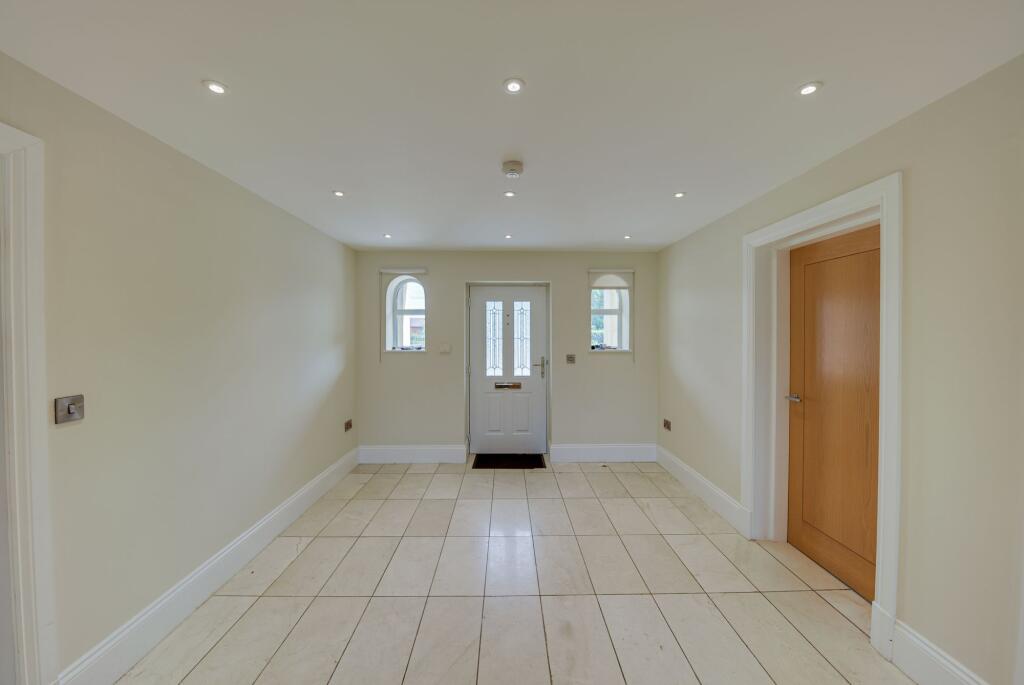
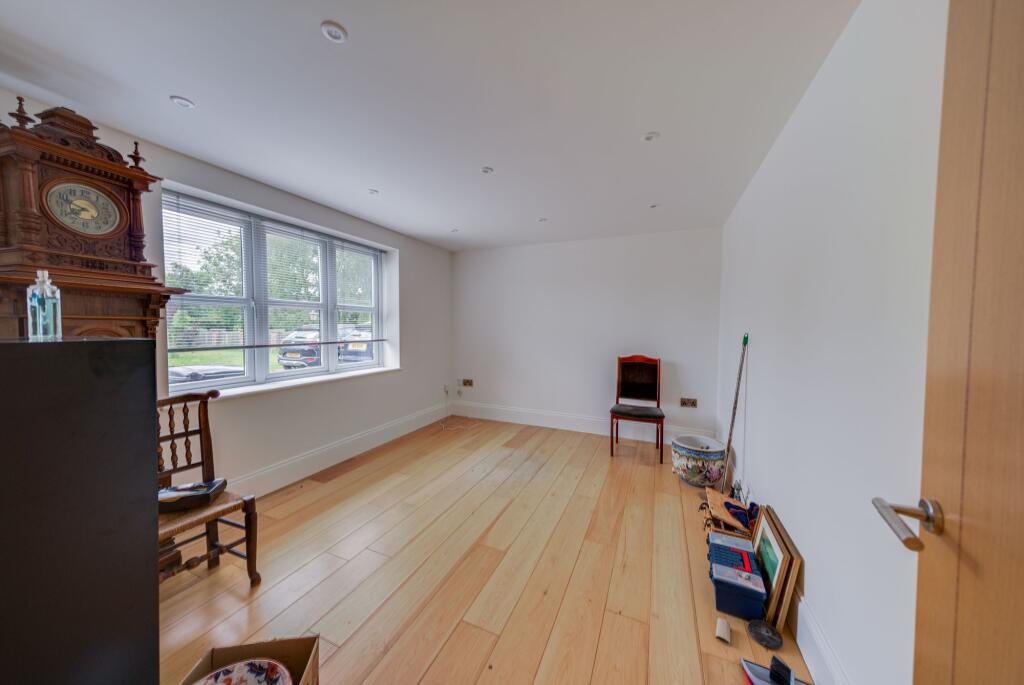
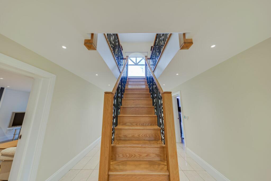
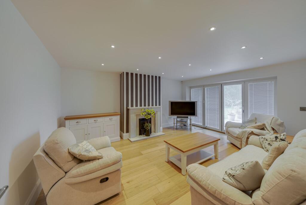
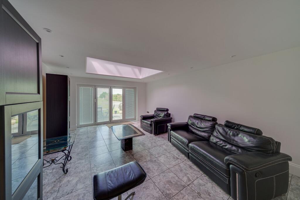
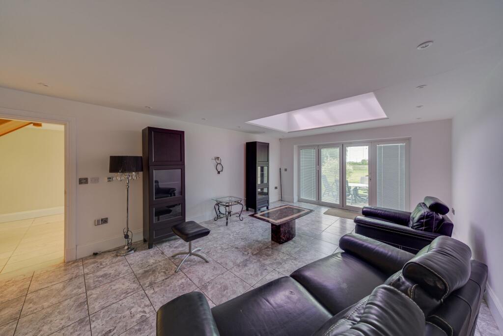
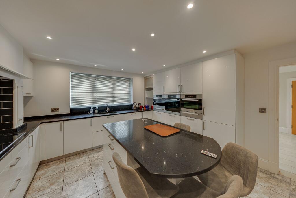
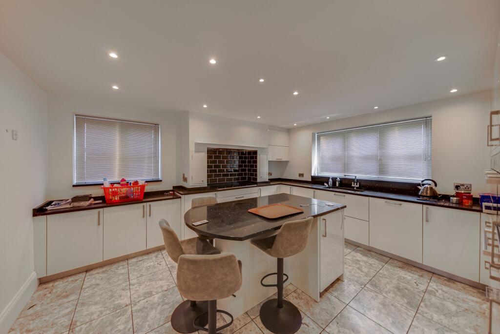
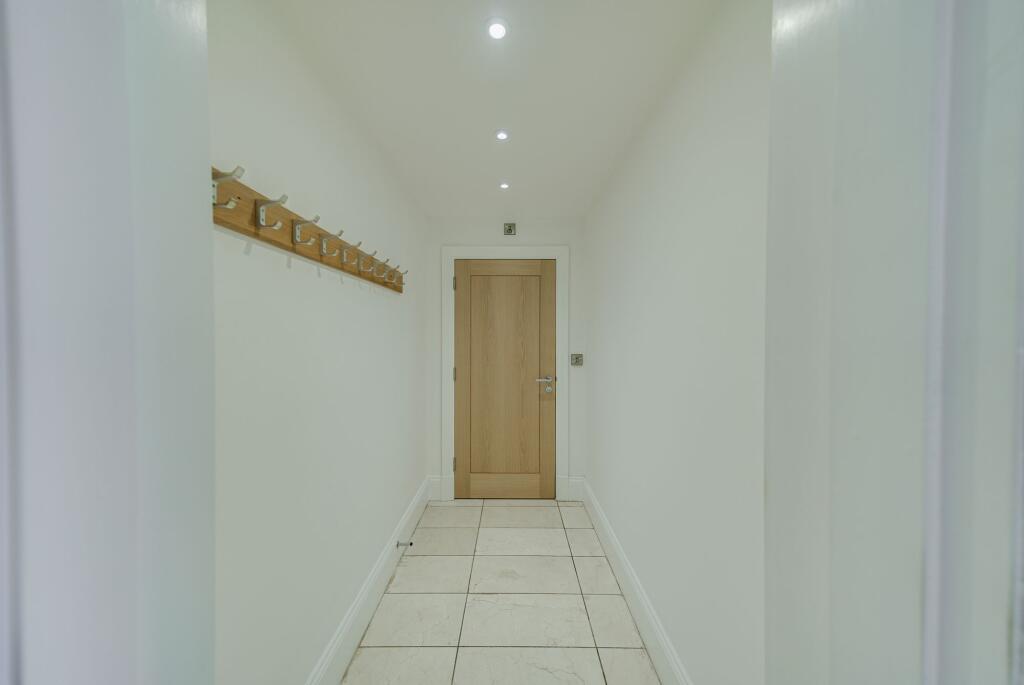
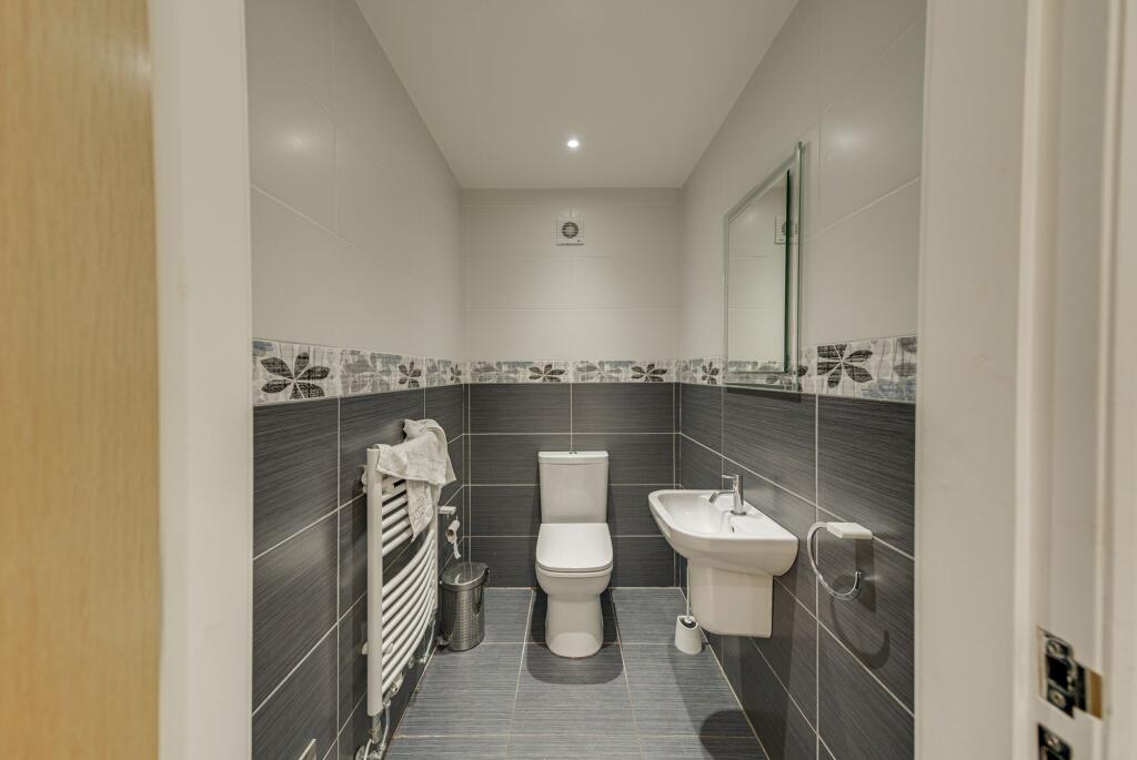
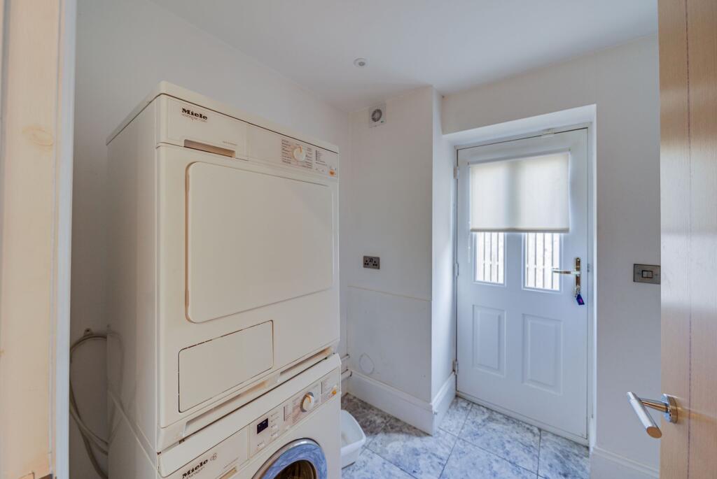
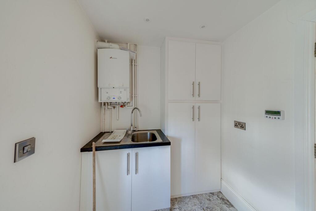
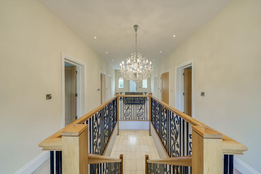
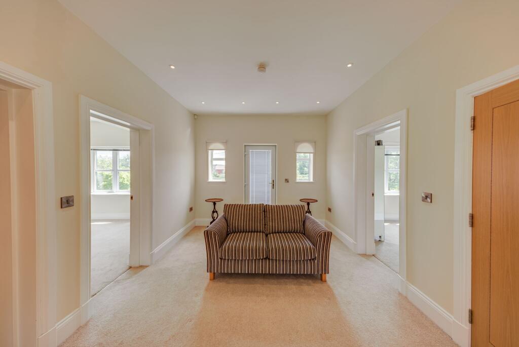
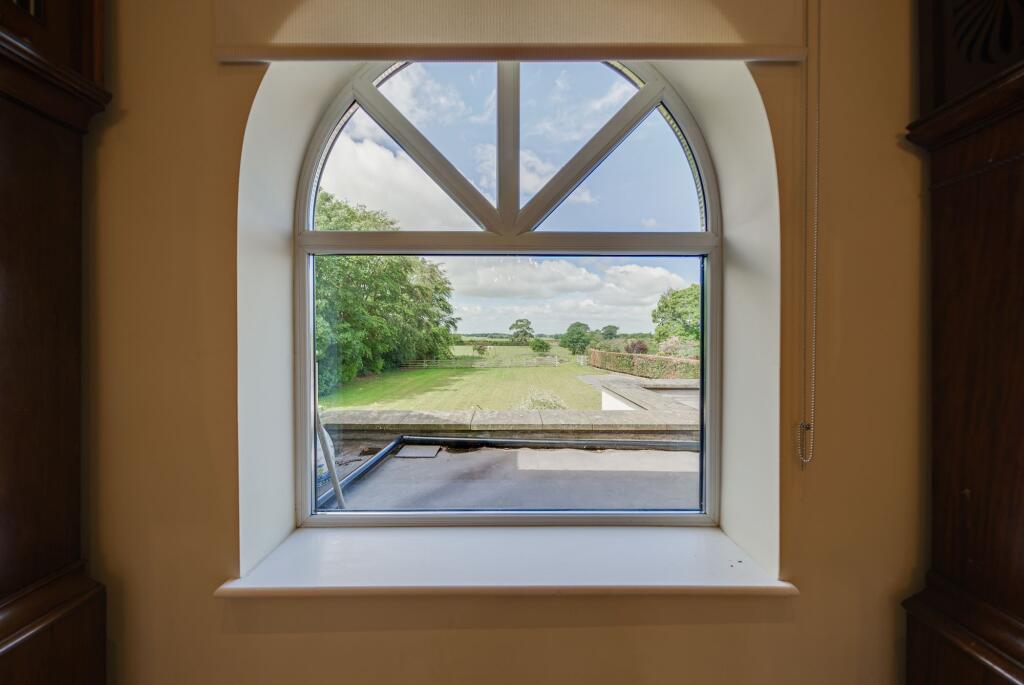
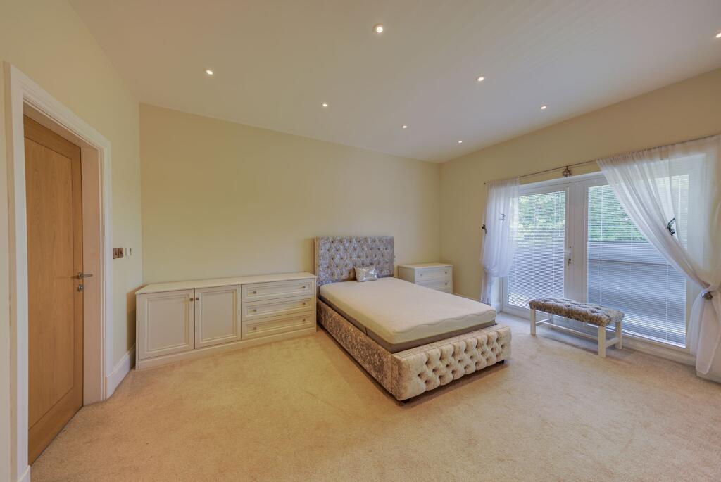
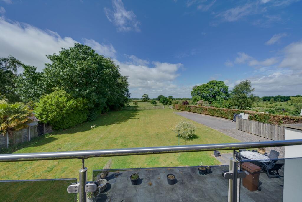
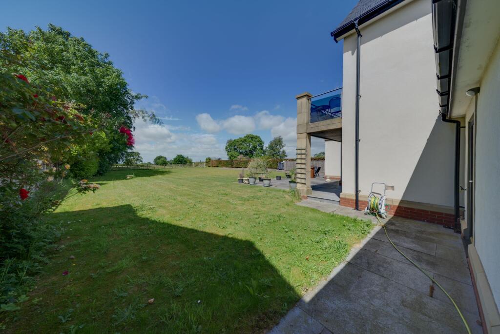
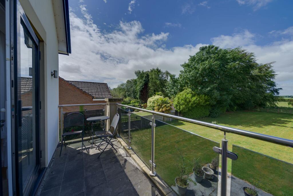
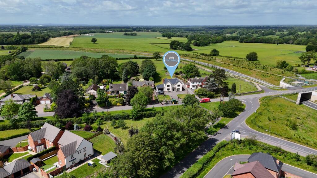
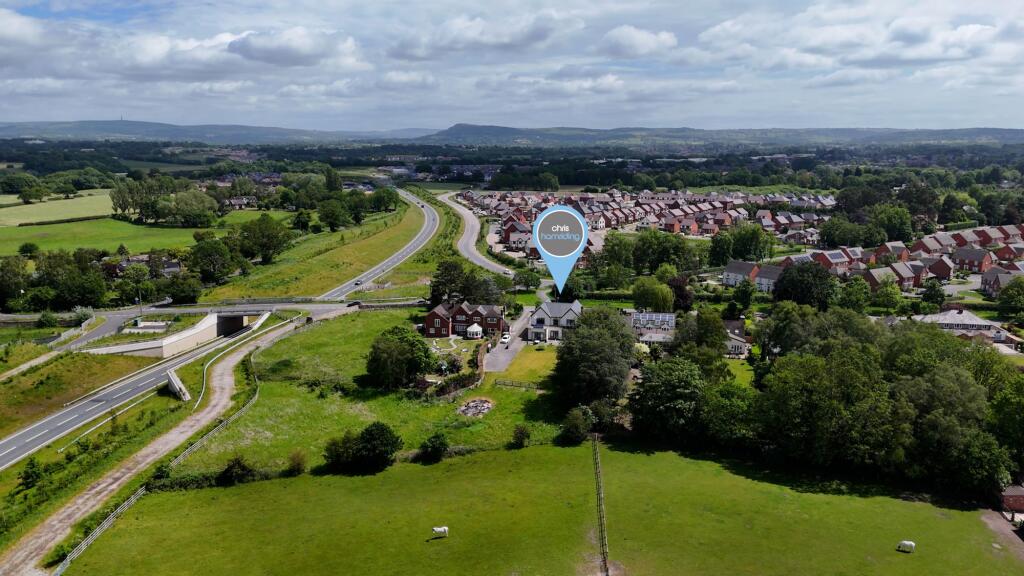
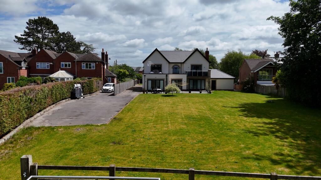
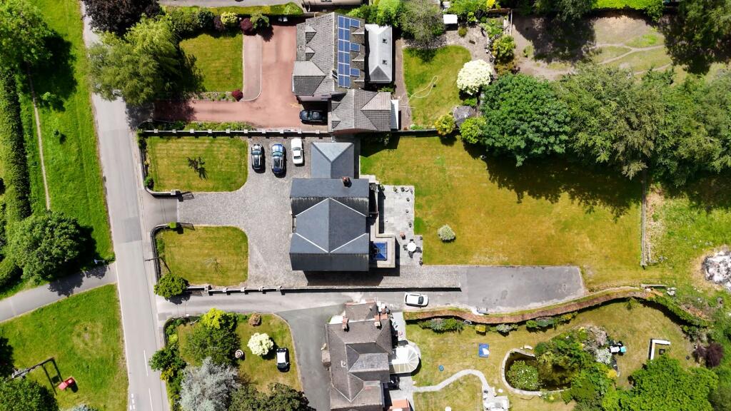
Photo 1 Photo 2 Photo 3 Photo 4 Photo 5 Photo 6 Photo 7 Photo 8 Photo 9 Photo 10 Photo 11 Photo 12 Photo 13 Photo 14 Photo 15 Photo 16 Photo 17 Photo 18 Photo 19 Photo 20 Photo 21 Photo 22 Photo 23 Photo 24 Photo 25 Photo 26 Photo 27 Photo 28 Photo 29 Photo 30 Photo 31 Photo 32 Photo 33 Photo 34 Photo 35 Photo 36 Photo 37 Photo 38 Photo 39
/ 39
Property details
Council tax band
G
Street crime
15 incidents within 1 mile (Apr 2026)
Additional details
- Garden
- Private garden
- Restrictions
- No
- Rights of way
- No
- Flooded in last 5 years
- No
- Flood defences
- No
Description
All photographs, measurements, floor plans and distances referred to are given as a guide only. Lease details, service charges and ground rent (where applicable) and council tax are given as a guide only and any prospective tenant should ensure they are satisfied prior to applying to a property. The copyright of all details, photographs and floorplans remain the possession of Chris Hamriding Lettings & Estates.
Listed by
Congleton
Chris Hamriding Lettings & Estates
Reference: 89251752
Flood risk
Zone: 1
Risk: Low
Job (default Low)
Rental Range
Estimated market rent for Cheshire East. Low = conservative, Realistic = average, Optimistic = best case.
Based on Local Authority from postcode lookup → Cheshire East.
LHA (30th percentile) floor for Oldham & Rochdale: £947/mo (Apr 2025 – Mar 2026)
Location
Address
33A Chelford Road
Nearby
Nearest stations, universities and amenities (distance from property).
| Type | Name | Distance |
|---|---|---|
| Bus stop | Unknown | 0.5 miles |
| Shop | Constantinos | 1.0 miles |
| Shop | Bargain Booze | 1.0 miles |
| Train station | Congleton | 2.8 miles |
| Train station | Holmes Chapel | 4.4 miles |
| Hospital | Rosemount Resource Centre | 7.4 miles |
| Hospital | John Munroe Hospital | 7.9 miles |
| University | University of Buckingham Crewe Campus | 9.0 miles |
| University | Buxton & Leek College | 10.7 miles |
Street-level crime
| Category | Count |
|---|---|
| Violence and sexual offences | 9 |
| Bicycle theft | 1 |
| Criminal damage and arson | 1 |
| Drugs | 1 |
| Other crime | 1 |
| Public order | 1 |
| Vehicle crime | 1 |
| Total incidents | 15 |
Within 1 mile during Apr 2026. Source: data.police.uk (England & Wales).
Schools nearby
Nearest open schools with Ofsted ratings (England). Closed schools are not shown. Data from Get Information about Schools and Ofsted.
| Name | Type | Distance | Ofsted |
|---|---|---|---|
| Black Firs Primary School | Primary | 0.6 miles | Good — 27 Nov 2013 |
| Congleton High School | Secondary | 0.7 miles | Good — 15 Jan 2015 |
| The Quinta Primary School | Primary | 1.0 miles | Good — 12 Sep 2023 |
| Aidenswood School | Other | 1.6 miles | Good — 24 Apr 2024 |
| Saint Mary's Catholic Primary School | Primary | 1.6 miles | Requires improvement — 1 Jul 2024 |
Rental Comparables
Residential lets from OpenRent and Rightmove for the area (same bedroom count). Use to validate rent estimates. Student lets are excluded.
| Title | Rent | Beds | Distance | As seen on |
|---|---|---|---|---|
| Chelford Road, Somerford, CW12 | £2,995/mo | 4 | 0 miles | Rightmove |
| Blue Cedar Way, Somerford, CW12 | £1,750/mo | 4 | 0.16 miles | Rightmove |
| Field View Road, Congleton, CW12 | £1,400/mo | 4 | 0.81 miles | Rightmove |
| Walfield Avenue, Congleton, CW12 | £2,200/mo | 4 | 1.71 miles | Rightmove |
| Rutland Close, Congleton | £1,700/mo | 4 | 1.81 miles | Rightmove |
| Quayside, Congleton, CW12 | £1,600/mo | 4 | 2.27 miles | Rightmove |
| Watery Lane, Astbury, Congleton | £3,750/mo | 4 | 2.5 miles | Rightmove |
| Hillside Farmhouse, Cloudside, Congleton, CW12 3QG | £2,000/mo | 4 | 4.7 miles | Rightmove |
Average rent: £2,174/mo (8 listings)