17 BORLASE CRESCENT
ST AUSTELL, CORNWALL PL25 4RF
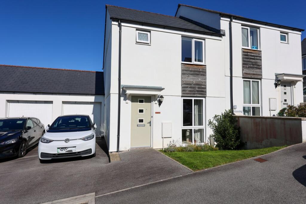
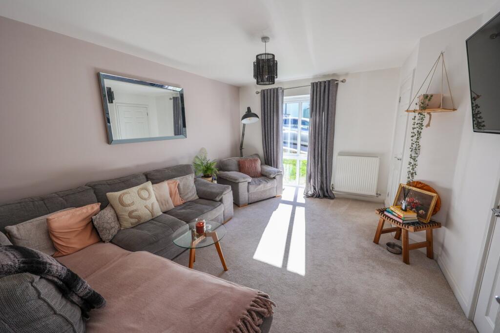
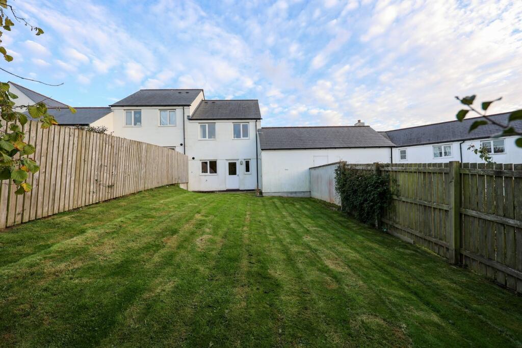
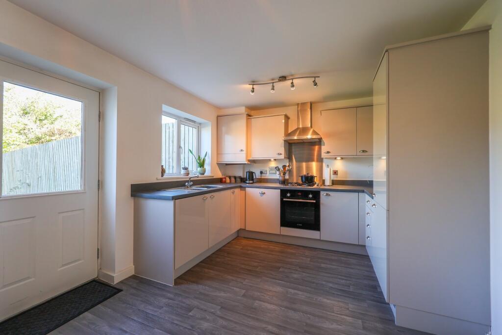
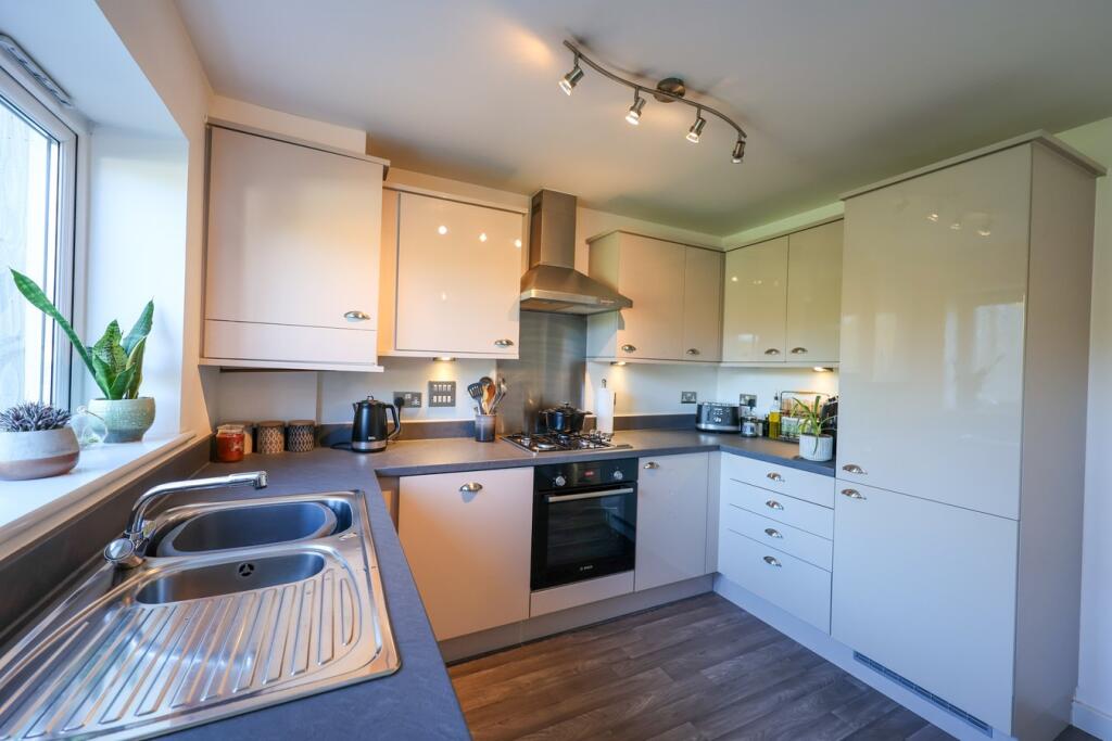
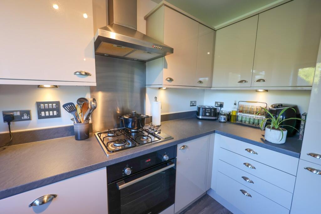
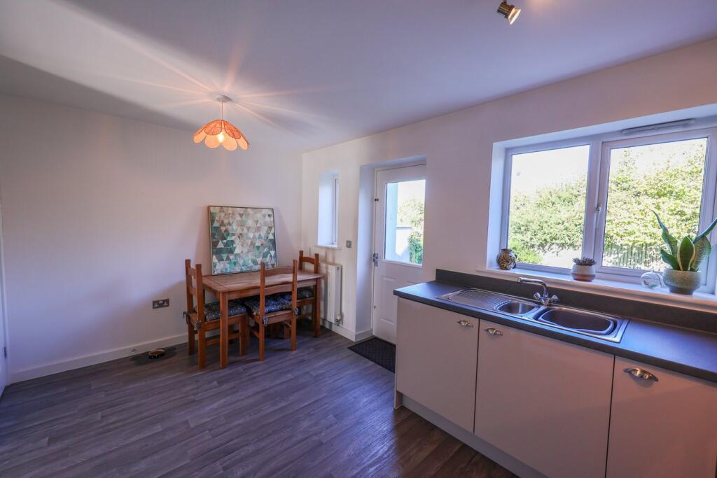
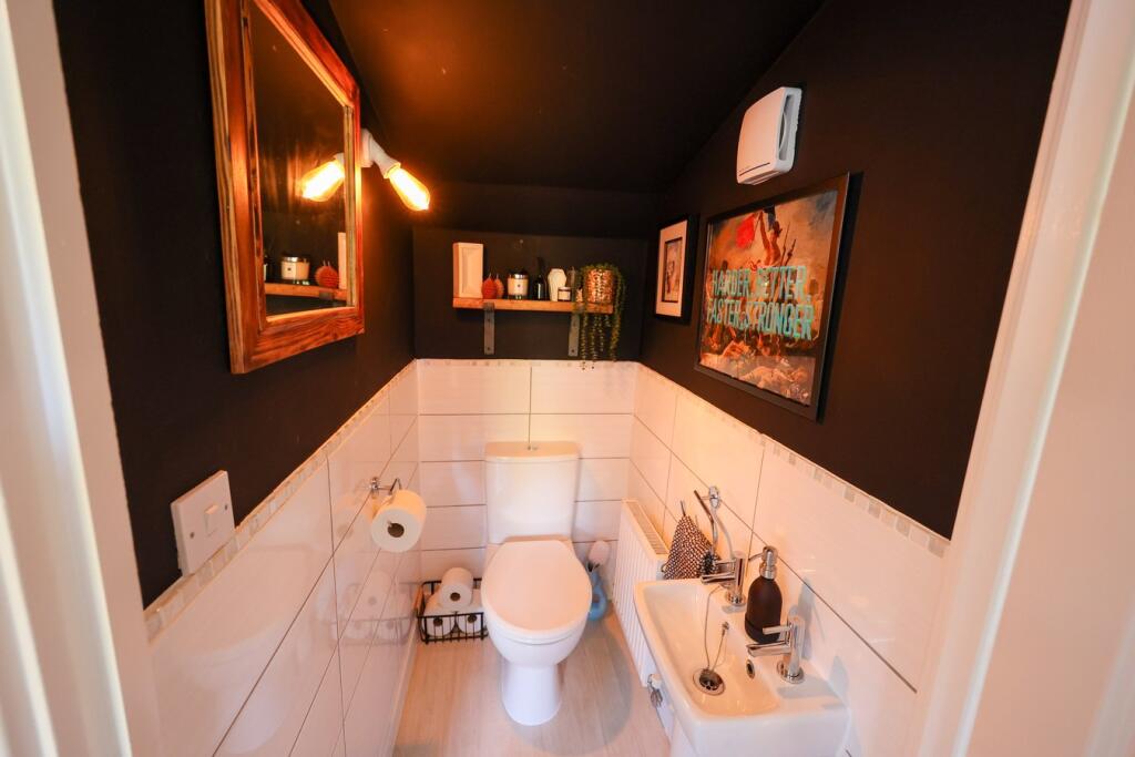
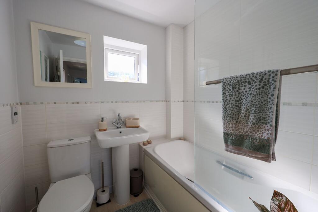
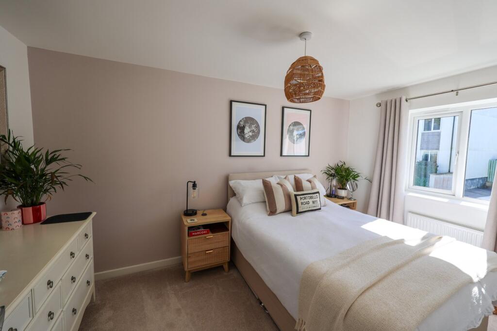
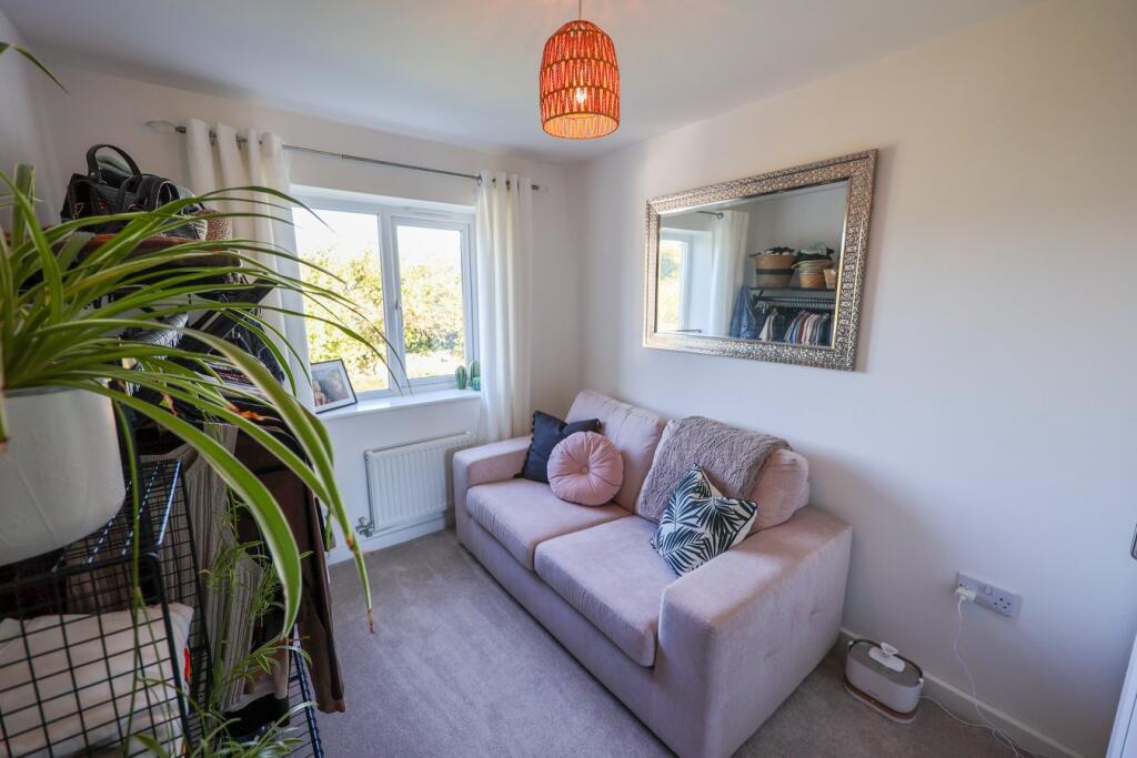
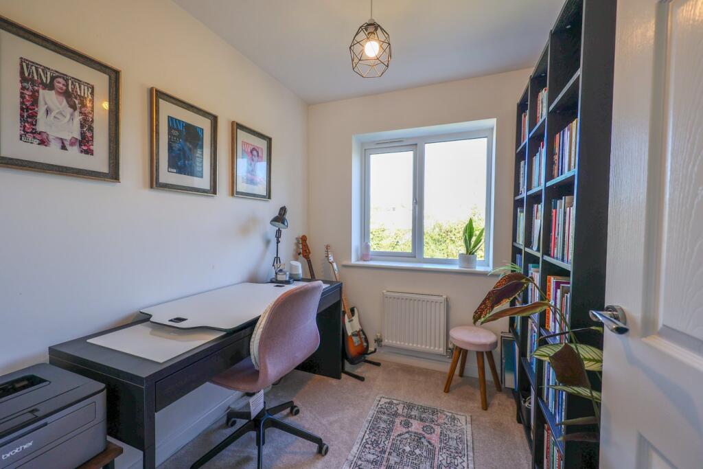
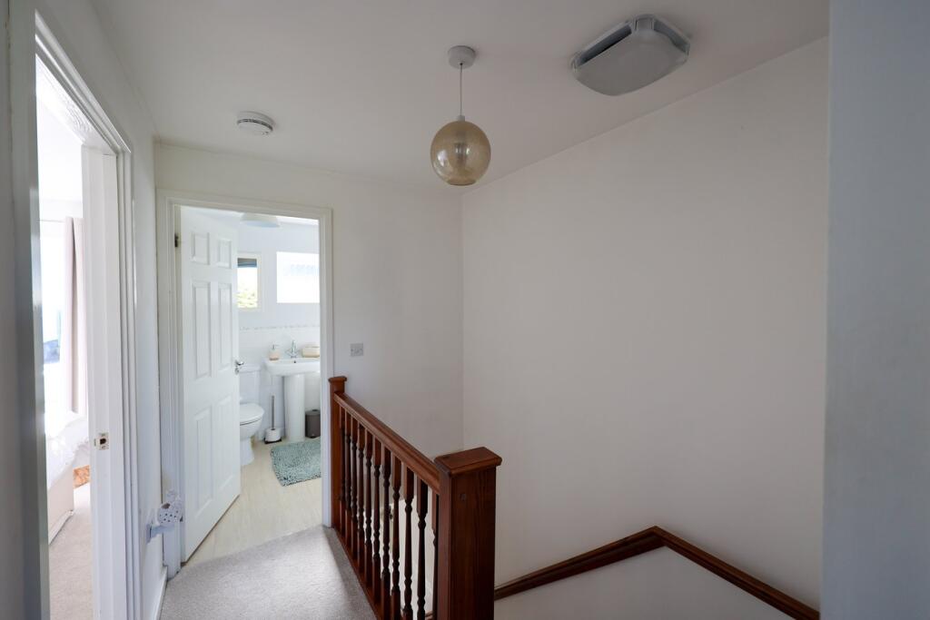
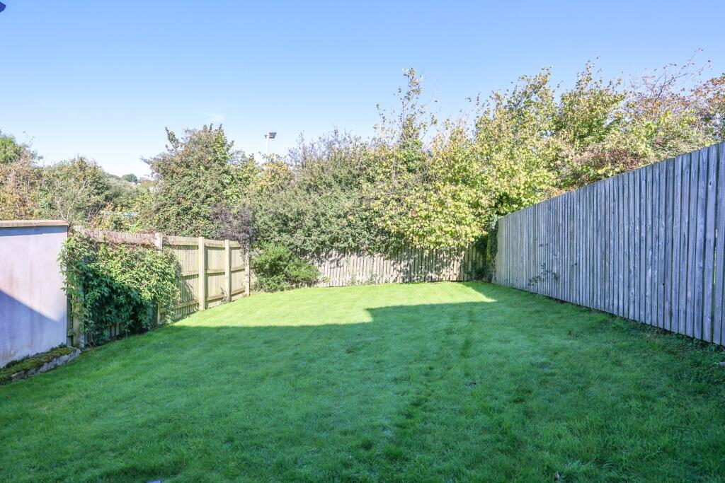
Photo 1 Photo 2 Photo 3 Photo 4 Photo 5 Photo 6 Photo 7 Photo 8 Photo 9 Photo 10 Photo 11 Photo 12 Photo 13 Photo 14
/ 14
Property details
Tenure
FREEHOLD
Floor area
68 m²
Council tax band
C
EPC rating
B
Last sold
£188,750 Mar 2017
Price per m²
£3,750/m²
Local average
£243,357 (+4.8%)
Deprivation
Decile 5 (15,634 of 33,755)
Street crime
152 incidents within 1 mile (Apr 2026)
Key features
- Convenient location close to beaches, amenities and schools
- Gas Central Heating
- Enclosed large private rear garden
Additional details
- Electricity
- Mains supply
- Broadband
- ADSL copper wire
- Water
- Mains supply
- Sewerage
- Mains supply
- Heating
- Gas central
- Parking
- Yes
- Garden
- Yes
- Listed property
- No
- Restrictions
- No
- Required access
- No
- Rights of way
- No
- Flooded in last 5 years
- No
- Flood defences
- No
Description
In brief the accommodation comprises of Entrance lobby, lounge, kitchen/dining room, cloakroom, landing three bedrooms and bathroom. Outside attached garage. Small easy to maintain front garden and an enclosed large mainly level garden to the rear.
Location - St Austell town centre is within walking distance of the property and offers a wide range of shopping, educational and recreational facilities. Also within walking distance is Asda supermarket. There is a mainline railway station and leisure centre together with primary and secondary schools. The picturesque port of Charlestown and the award winning Eden Project are within a short drive. The town of Fowey is approximately 8 miles away and is well known for its restaurants and coastal walks. The Cathedral city of Truro is approximately 13 miles from the property.
Listed by
St Austell
Liddicoat & Company
Reference: 167642807
EPC Rating & Upgrade Cost
Current rating: B
Potential rating: A
Inspection date: 11/03/2016
Expiry date: 10/03/2026 (expired)
Current heating cost: £195/year
Potential heating cost: £195/year
Est. upgrade cost to C: £11,500
Recommendations
- Solar water heating (£4,000 - £6,000)
- Solar photovoltaic panels, 2.5 kWp (£5,000 - £8,000)
Flood risk
Zone: 1
Risk: Low
Job (default Low)
Floorplans
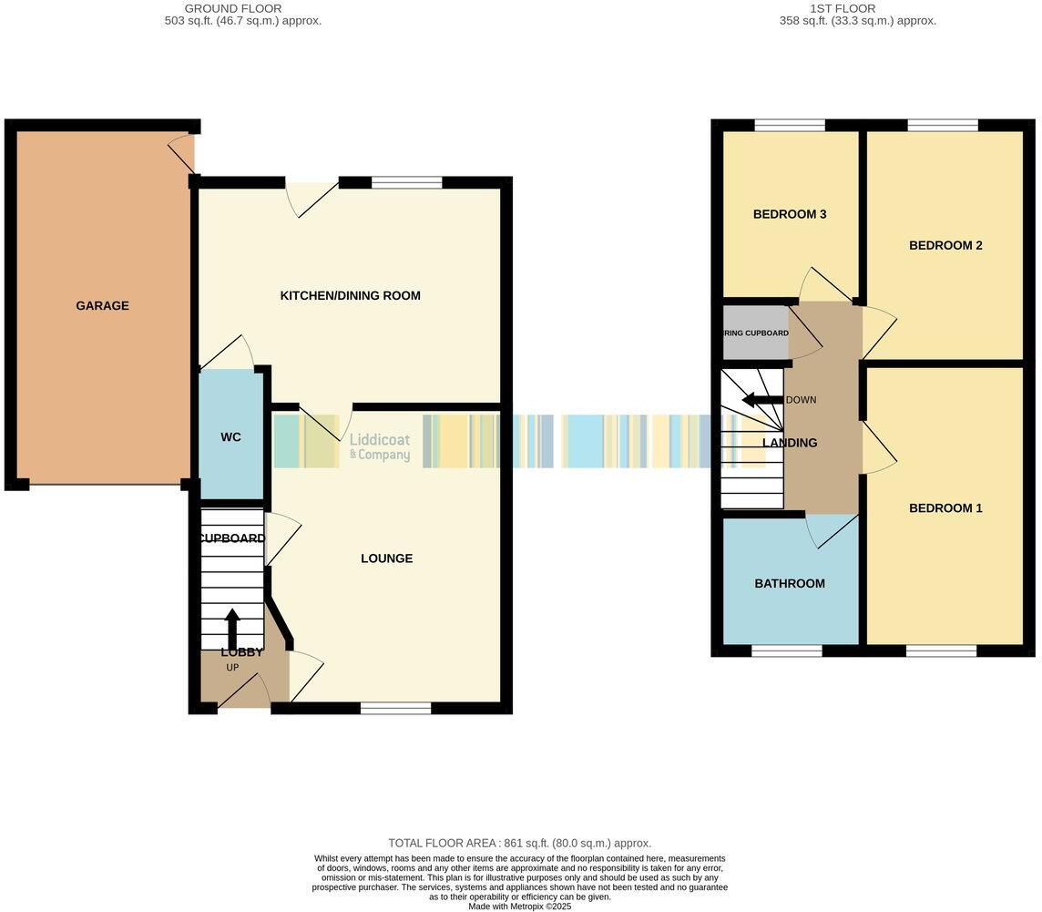
Floorplan 1
EPC Graphs
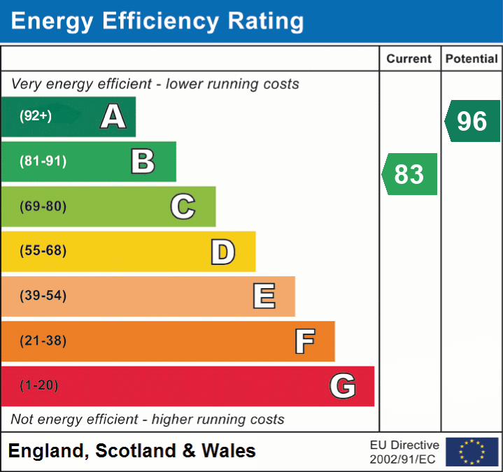
EPC 1
Price history
| Event | Date | Price | % change |
|---|---|---|---|
| Sold | 03/03/2017 (9 years ago) | £188,750 | — |
Source: HM Land Registry Price Paid Data. Crown copyright.
Sold Comparables
Same street and nearby sales within 0.25 miles (last 5 years). Data from Land Registry Price Paid.
| Address | Price | Date | Type |
|---|---|---|---|
| 81 SOUTHBOURNE ROAD, ST AUSTELL, CORNWALL, PL25 4RT | £315,000 | 12/01/2026 | Semi-detached |
| Same street 18 BORLASE CRESCENT, ST AUSTELL, CORNWALL, PL25 4RF | £255,000 | 18/12/2025 | Semi-detached |
| 32 CARNJEWEY WAY, ST AUSTELL, CORNWALL, PL25 4FU | £225,000 | 08/12/2023 | Semi-detached |
| 25 PELLYMOUNTER ROAD, ST AUSTELL, CORNWALL, PL25 4PX | £126,900 | 28/07/2023 | Semi-detached |
| 40 WOODLAND ROAD, ST AUSTELL, CORNWALL, PL25 4RB | £255,000 | 27/04/2023 | Semi-detached |
| Same street 22 BORLASE CRESCENT, ST AUSTELL, CORNWALL, PL25 4RF | £360,000 | 05/04/2023 | Detached |
| 48 WOODLAND ROAD, ST AUSTELL, CORNWALL, PL25 4RB | £295,000 | 01/02/2022 | Semi-detached |
| 1 CROMWELL ROAD, ST AUSTELL, CORNWALL, PL25 4PR | £350,000 | 21/01/2022 | Semi-detached |
| 40 WOODLAND ROAD, ST AUSTELL, CORNWALL, PL25 4RB | £245,000 | 30/06/2021 | Semi-detached |
Street average: £307,500 (2 sales)
Area average: £258,843 (7 sales)
Capital growth trend
Land Registry outcode average: last 12 months vs 5y and 10y ago (from sold prices).
House Price Index (HM Land Registry — official index, not sold-price averages): Cornwall. Series: Semi-detached. As of March 2026.
Rental Range
Estimated market rent for Cornwall. Low = conservative, Realistic = average, Optimistic = best case.
Based on Local Authority from postcode lookup → Cornwall.
Location
Nearby
Nearest stations, universities and amenities (distance from property).
| Type | Name | Distance |
|---|---|---|
| Shop | Asda | 0.1 miles |
| Shop | Timpson | 0.1 miles |
| Bus stop | St Austell Asda (W-bound) | 0.1 miles |
| Bus stop | Pellmounter Road | 0.2 miles |
| Hospital | St Austell Community Hospital | 0.4 miles |
| Train station | St Austell | 0.8 miles |
| Train station | Par | 3.5 miles |
| Hospital | Bodmin Hospital | 9.4 miles |
Street-level crime
| Category | Count |
|---|---|
| Violence and sexual offences | 60 |
| Anti-social behaviour | 24 |
| Criminal damage and arson | 20 |
| Other theft | 11 |
| Public order | 11 |
| Burglary | 5 |
| Other crime | 5 |
| Drugs | 4 |
| Robbery | 4 |
| Shoplifting | 4 |
| Vehicle crime | 2 |
| Bicycle theft | 1 |
| Possession of weapons | 1 |
| Total incidents | 152 |
Within 1 mile during Apr 2026. Source: data.police.uk (England & Wales).
Schools nearby
Nearest open schools with Ofsted ratings (England). Closed schools are not shown. Data from Get Information about Schools and Ofsted.
| Name | Type | Distance | Ofsted |
|---|---|---|---|
| Mount Charles School | Primary | 0.3 miles | Good — 24 Nov 2011 |
| Penrice Academy | Secondary | 0.4 miles | Outstanding — 2 Apr 2014 |
| Restormel Academy | Other | 0.5 miles | Good — 6 Feb 2013 |
| Sandy Hill Academy | Primary | 0.7 miles | Outstanding — 23 Mar 2017 |
| Poltair School | Secondary | 0.9 miles | Good — 24 Apr 2024 |
Rental Comparables
Rental comparables are temporarily unavailable while listing-site fetches are paused. Try again later.
Rent-driven metrics
Based on Area rent estimate.
- Rent ratio — Monthly rent ÷ purchase price (1% rule). 1%+ = strong, 0.8–1% = okay, <0.8% = weak for cashflow.
- Max investor price — Rent ÷ 0.8%; the price at which rent would be 0.8% of price (Stoke-style target).
- Target investor price — Rent ÷ 1%; the price at which rent would be 1% of price (strong cashflow band).
- Gross yield — Annual rent as % of purchase price (no costs).