Marsh Parade
Newcastle Under Lyme, ST5 1FA
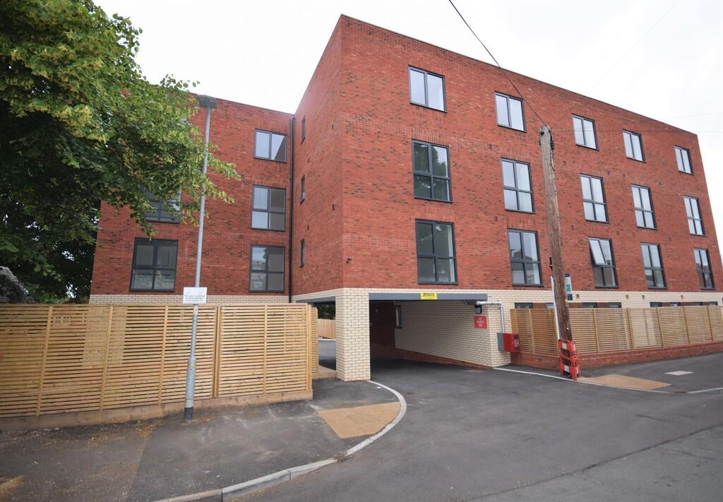
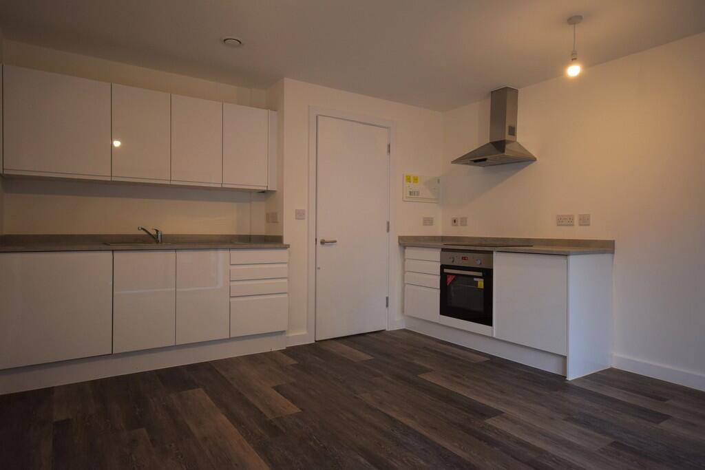
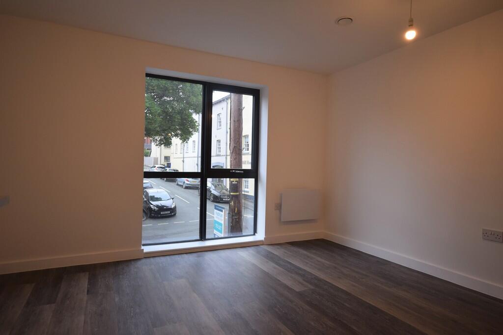
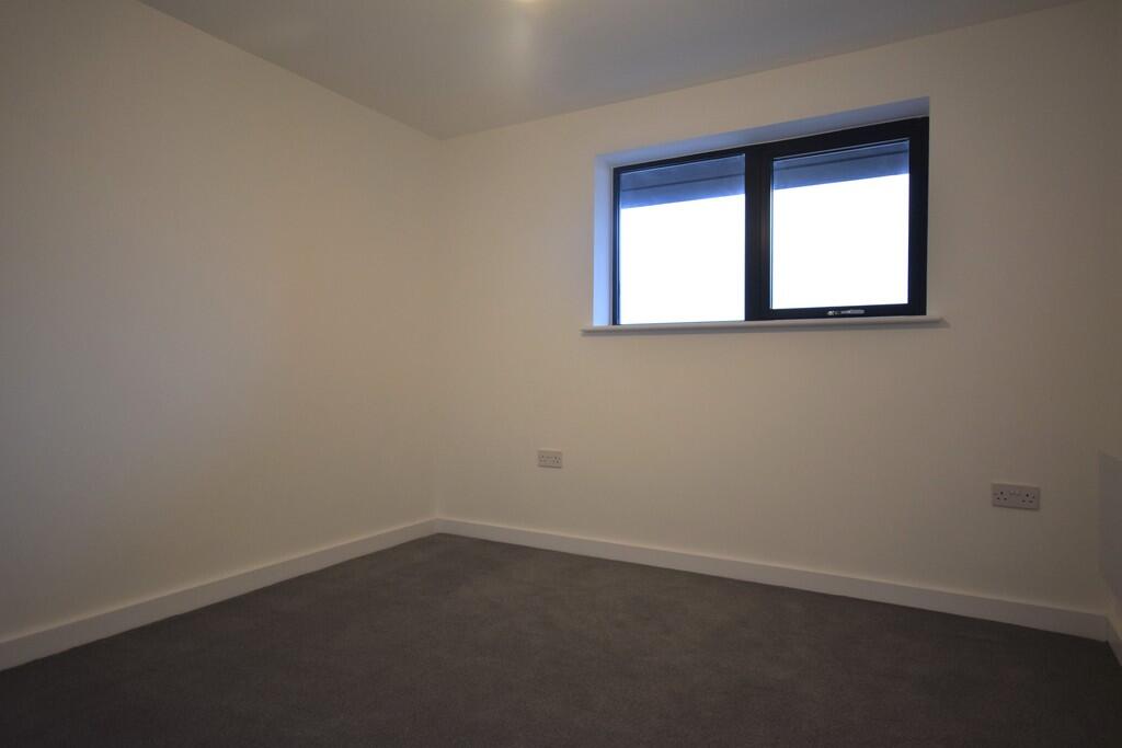
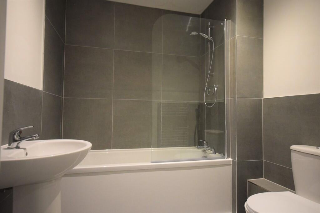
Photo 1 Photo 2 Photo 3 Photo 4 Photo 5
/ 5
Property details
Council tax band
A
Deprivation
Decile 3 (9,427 of 33,755)
Street crime
335 incidents within 1 mile (Apr 2026)
Key features
- Modern 1st floor flat
- Walking Distance To Newcastle Town Centre
- Close Proximity To Royal Stoke University Hospital
- Open Plan lounge and kitchen
- Double bedroom
- Bathroom
- Council tax band A
Additional details
- Heating
- Electric
Description
ENTRANCE HALL Laminate flooring, telephone entry system, doors leading to bedroom, bathroom, storage cupboard and open plan kitchen lounge.
OPEN PLAN KITCHEN / LOUNGE A range of white wall and base units with work surfaces over, integrated stainless steel sink with mixer tap integrated appliances including a dishwasher, undercounter fridge with freezer compartment, oven and hob, double glazed window to the front elevation and laminate flooring.
BATHROOM A white three piece suite including w/c, pedestal hand wash basin and shower over the bath. partially tiled walls, tiled floor, wall mounted towel radiator.
BEDROOM ** A double bedroom, carpet flooring and a double glazed window to the rear elevation.
Listed by
Stoke On Trent
The Property Franchise Group
Reference: 165551138
EPC ratings on this postcode
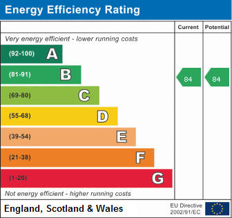
We don't have a matched EPC for this property yet. Below are efficiency scores and details for other addresses on this postcode.
| Address | Current | Potential | Floor area | Age band | Type |
|---|---|---|---|---|---|
| Apartment 1, Marsh Box, 2 Marsh Parade, NEWCASTLE | 79 | 79 | 44 m² | — | Flat |
| Apartment 10, Marsh Box, 2 Marsh Parade, NEWCASTLE | 84 | 84 | 35 m² | — | Flat |
| Apartment 11, Marsh Box, 2 Marsh Parade, NEWCASTLE | 79 | 79 | 48 m² | — | Flat |
| Apartment 12, Marsh Box, 2 Marsh Parade, NEWCASTLE | 84 | 84 | 34 m² | — | Flat |
| Apartment 14, Marsh Box, 2 Marsh Parade, NEWCASTLE | 83 | 83 | 50 m² | — | Flat |
| Apartment 15, Marsh Box, 2 Marsh Parade, NEWCASTLE | 82 | 82 | 44 m² | — | Flat |
| Apartment 16, Marsh Box, 2 Marsh Parade, NEWCASTLE | 84 | 84 | 35 m² | — | Flat |
| Apartment 17, Marsh Box, 2 Marsh Parade, NEWCASTLE | 85 | 85 | 35 m² | — | Flat |
| Apartment 18, Marsh Box, 2 Marsh Parade, NEWCASTLE | 85 | 85 | 35 m² | — | Flat |
| Apartment 19, Marsh Box, 2 Marsh Parade, NEWCASTLE | 84 | 84 | 48 m² | — | Flat |
| Apartment 2, Marsh Box, 2 Marsh Parade, NEWCASTLE | 82 | 82 | 35 m² | — | Flat |
| Apartment 20, Marsh Box, 2 Marsh Parade, NEWCASTLE | 84 | 84 | 34 m² | — | Flat |
| Apartment 21, Marsh Box, 2 Marsh Parade, NEWCASTLE | 83 | 83 | 50 m² | — | Flat |
| Apartment 22, Marsh Box, 2 Marsh Parade, NEWCASTLE | 77 | 77 | 44 m² | — | Flat |
| Apartment 23, Marsh Box, 2 Marsh Parade, NEWCASTLE | 81 | 81 | 35 m² | — | Flat |
Flood risk
Zone: 1
Risk: Low
Job (default Low)
EPC Graphs
EPC 1
Rental Range
Estimated market rent for Newcastle-under-Lyme. Low = conservative, Realistic = average, Optimistic = best case.
Based on Local Authority from postcode lookup → Newcastle-under-Lyme.
LHA (30th percentile) floor for Staffordshire North: £424/mo (Apr 2025 – Mar 2026)
Location
Address
Hassell Street
Nearby
Nearest stations, universities and amenities (distance from property).
| Type | Name | Distance |
|---|---|---|
| Bus stop | Water Street | 0.1 miles |
| Bus stop | Marsh Parade | 0.1 miles |
| Shop | Malkophoto Framers | 0.1 miles |
| Shop | Kwik-Fit | 0.1 miles |
| Hospital | Hartshill Medical Centre | 0.4 miles |
| Hospital | Royal Stoke University Hospital | 0.6 miles |
| University | University of Staffordshire Stoke Campus | 1.6 miles |
| Train station | Stoke-on-Trent | 1.6 miles |
| Train station | Longport | 2.1 miles |
Street-level crime
| Category | Count |
|---|---|
| Violence and sexual offences | 95 |
| Anti-social behaviour | 62 |
| Public order | 39 |
| Criminal damage and arson | 25 |
| Shoplifting | 23 |
| Other theft | 20 |
| Burglary | 18 |
| Drugs | 16 |
| Vehicle crime | 11 |
| Other crime | 9 |
| Possession of weapons | 7 |
| Robbery | 6 |
| Theft from the person | 3 |
| Bicycle theft | 1 |
| Total incidents | 335 |
Within 1 mile during Apr 2026. Source: data.police.uk (England & Wales).
Schools nearby
Nearest open schools with Ofsted ratings (England). Closed schools are not shown. Data from Get Information about Schools and Ofsted.
| Name | Type | Distance | Ofsted |
|---|---|---|---|
| Newcastle-under-Lyme School | Other | 0.1 miles | — (No rating) |
| Demetae Academy | Other | 0.2 miles | Good — 30 Jun 2022 |
| Lyme Brook Independent School | Other | 0.2 miles | Good — 22 Oct 2023 |
| Hassell Primary School | Primary | 0.2 miles | Good — 25 Oct 2023 |
| Harpfield Primary Academy | Primary | 0.3 miles | Good — 10 Feb 2015 |
Rental Comparables
Residential lets from OpenRent and Rightmove for the area (same bedroom count). Use to validate rent estimates. Student lets are excluded.
Average rent: £636/mo (36 listings)
Enter House Number
Enter the house number to help us retrieve more accurate pricing history and property data.
Please log in to submit or correct the house number for this listing.
Log in to continue