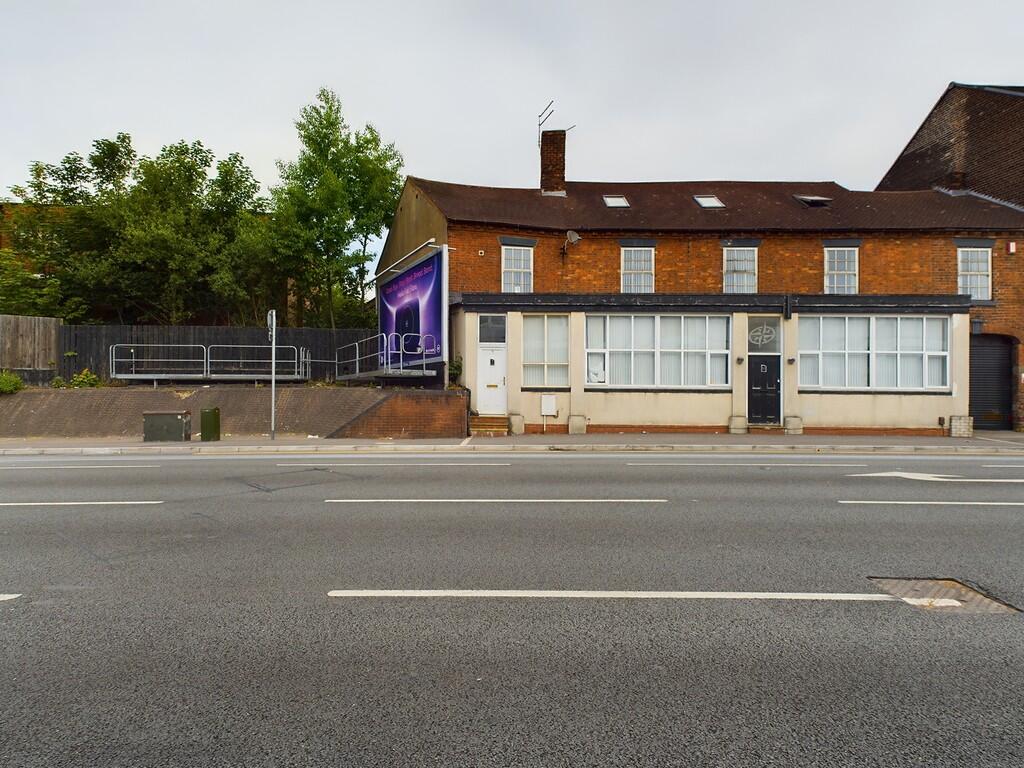
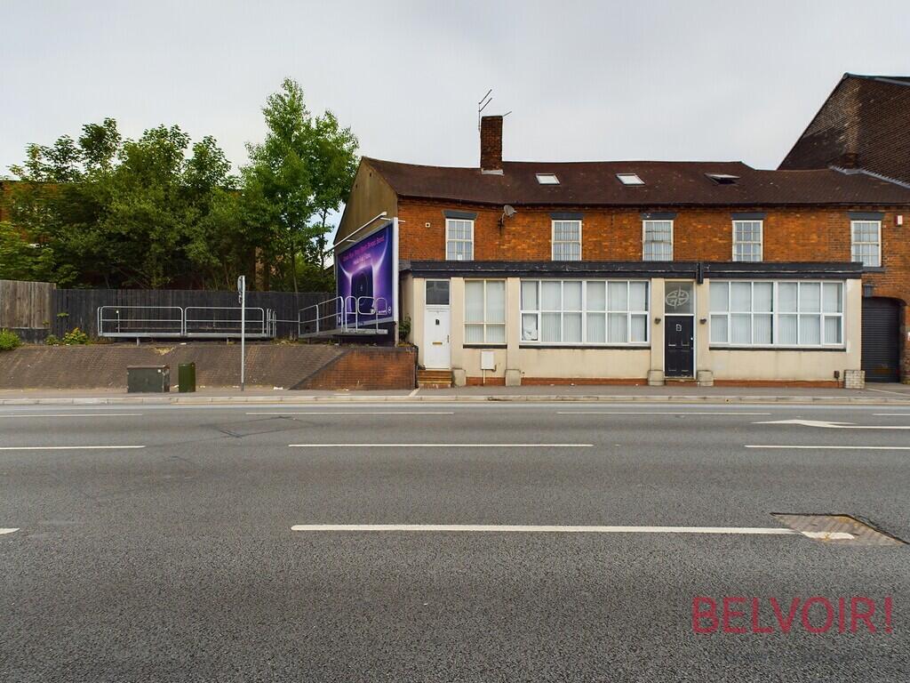
Bucknall New Road
Hanley, Stoke-on-Trent, ST1 2BA
£800 pcm


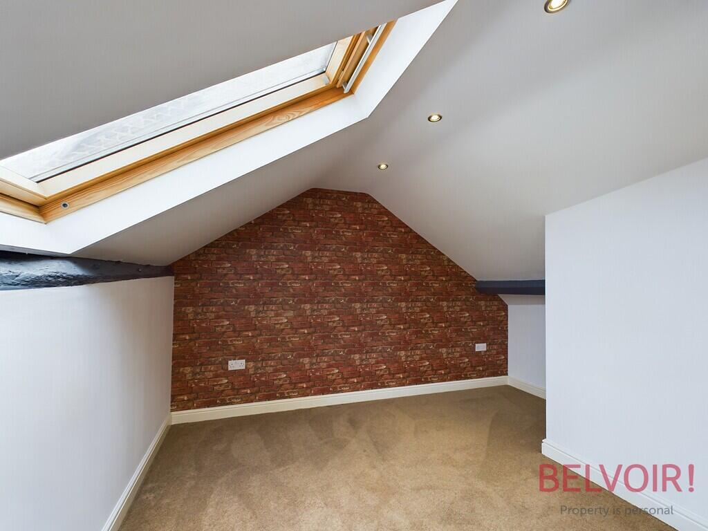
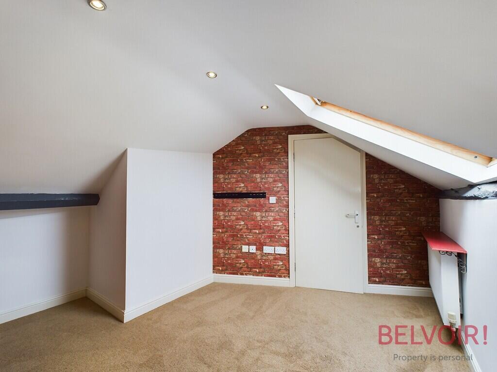
CAM02169G0-PR0038... CAM02169G0-PR0038... CAM02169G0-PR0038... CAM02169G0-PR0038... CAM02169G0-PR0038... CAM02169G0-PR0038... CAM02169G0-PR0038... CAM02169G0-PR0038... CAM02169G0-PR0038... CAM02169G0-PR0038... CAM02169G0-PR0038... CAM02169G0-PR0038... CAM02169G0-PR0038... CAM02169G0-PR0038... CAM02169G0-PR0038... CAM02169G0-PR0038... CAM02169G0-PR0038... Photo 18 Photo 19 Photo 20 Photo 21 Photo 22 Photo 23 Photo 24 Photo 25 Photo 26 Photo 27 Photo 28 Photo 29 Photo 30 Photo 31 Photo 32 Photo 33 Photo 34 Photo 35 Photo 36
/ 36
Property details
Council tax band
A
Deprivation
Decile 1 (364 of 33,755)
Street crime
591 incidents within 1 mile (Mar 2026)
Key features
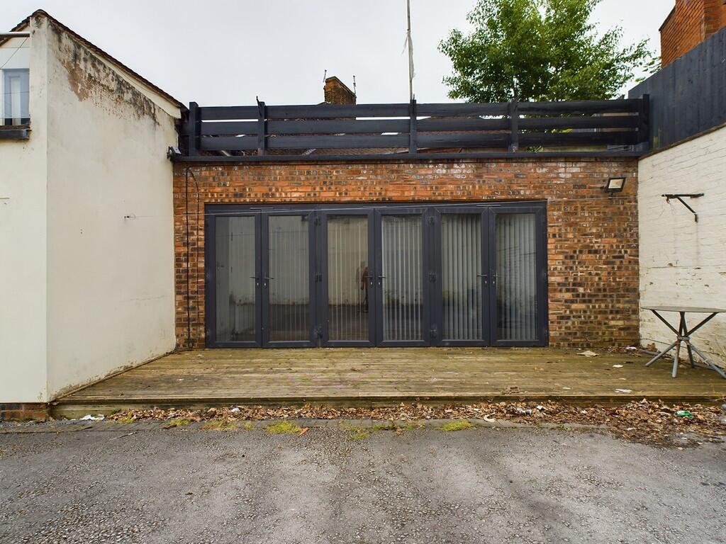
- Private Parking
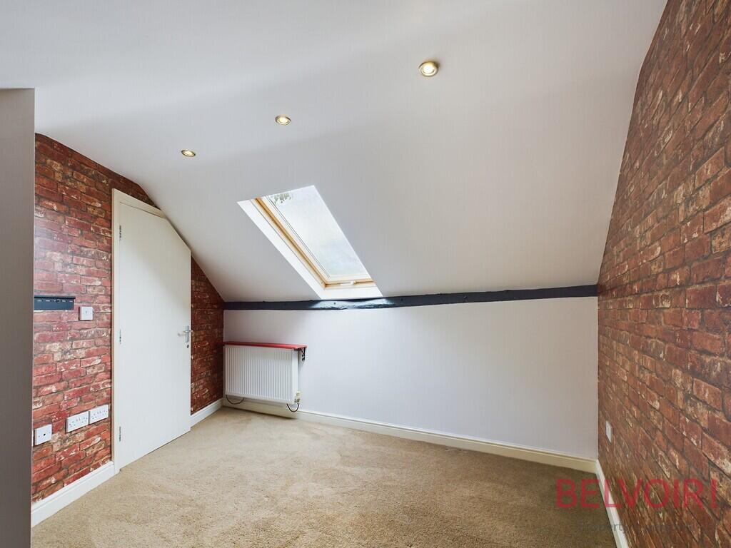
- 2 Bed Property
- Close to Hanley Town Centre
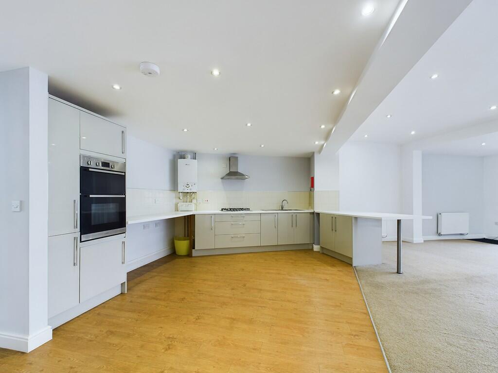
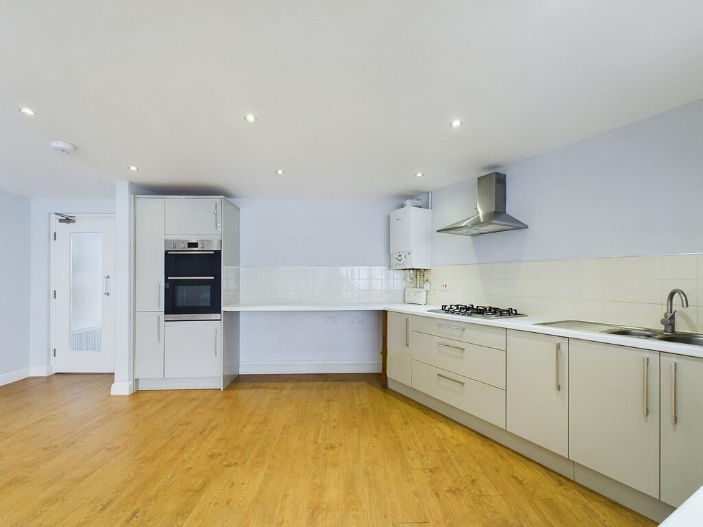
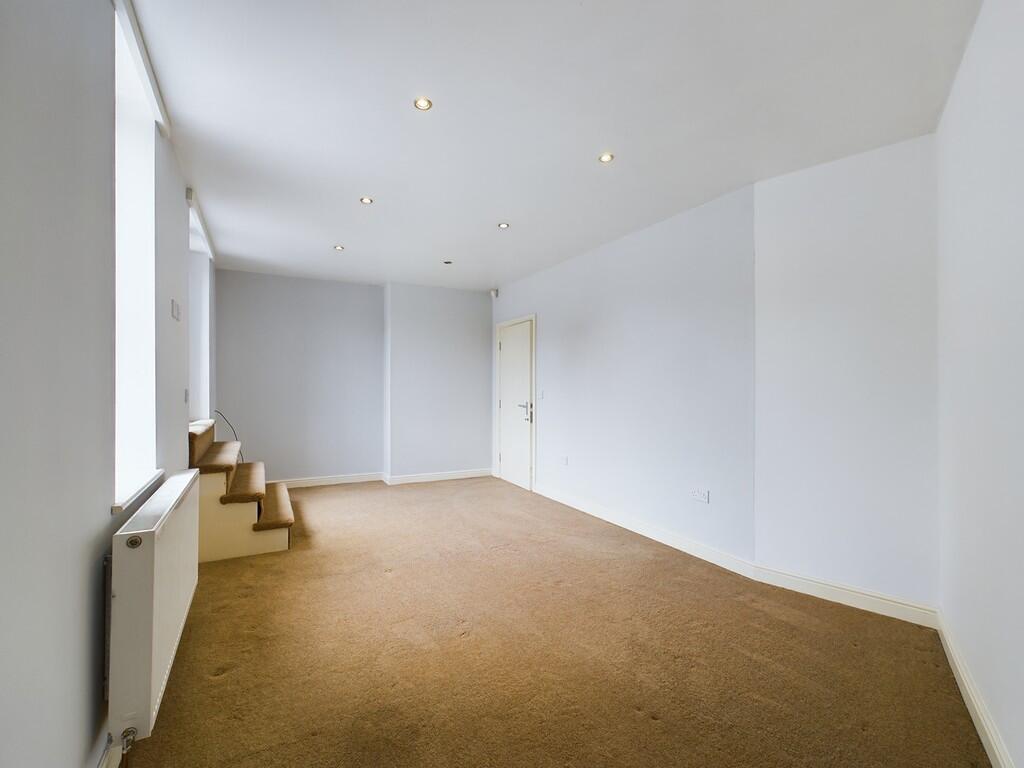
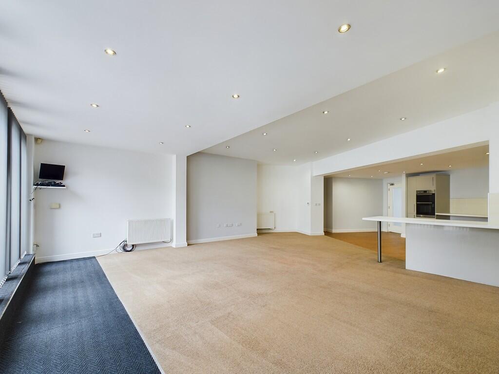
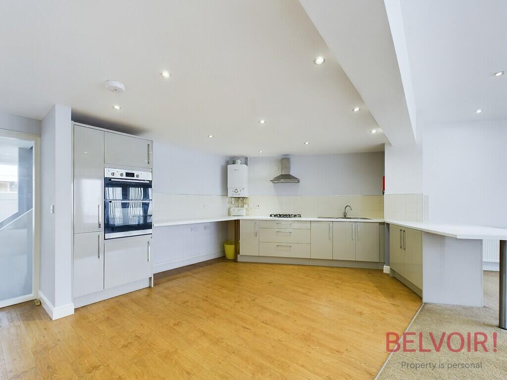
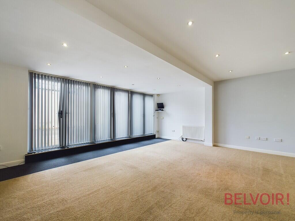
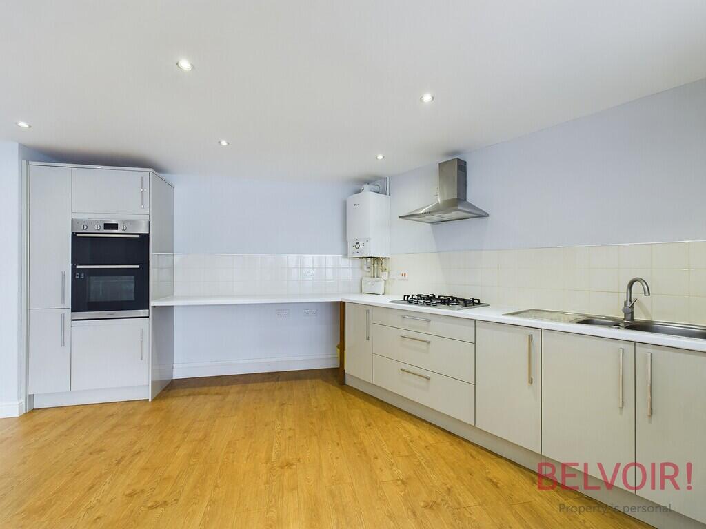
- Open Plan Kitchen/ Lounge
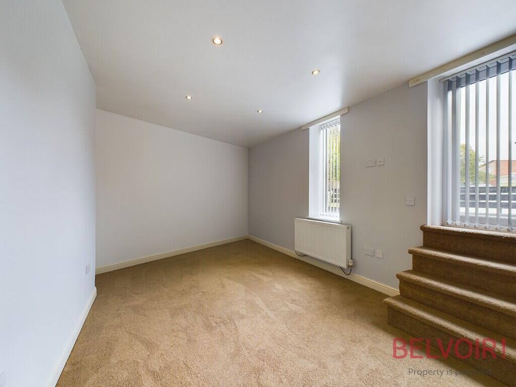
- Double Bedroom
- Single Bedroom
- Council Tax Band A
- Walking Distance to shops
Additional details
- Heating
- Gas central
- Parking
- Yes
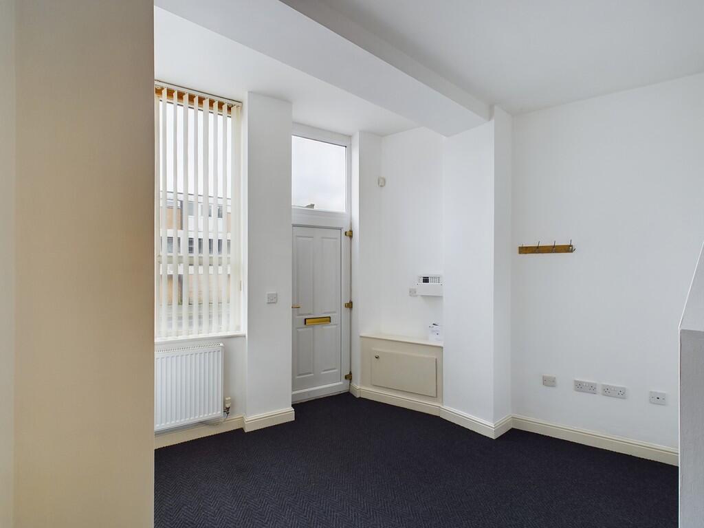
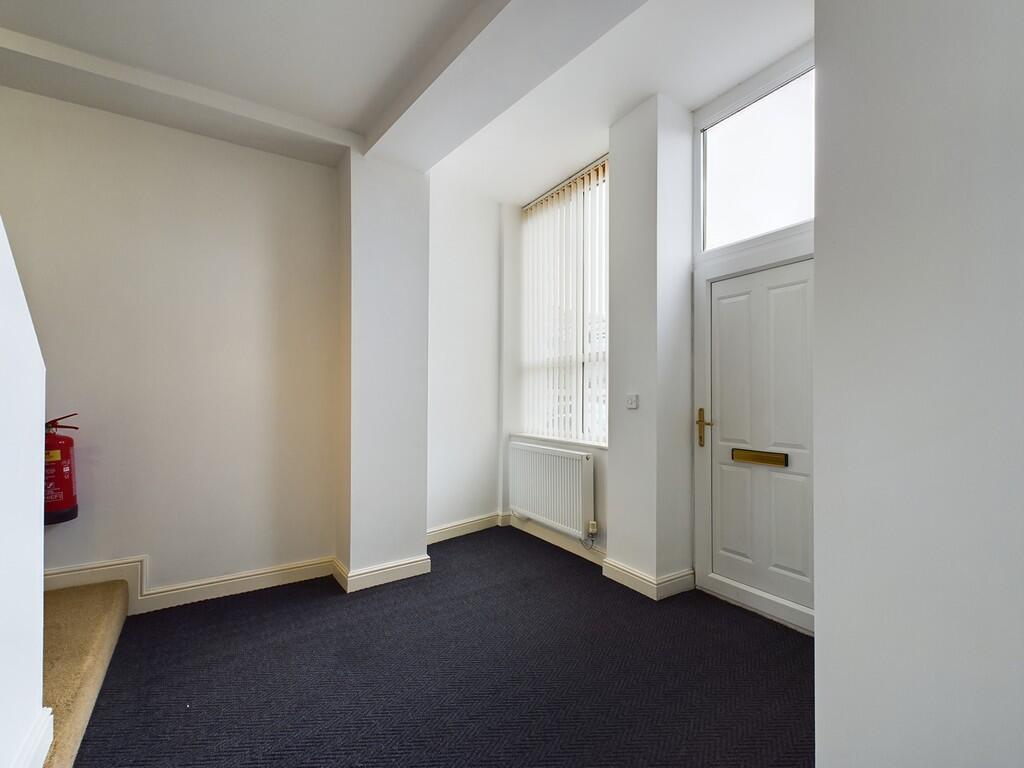
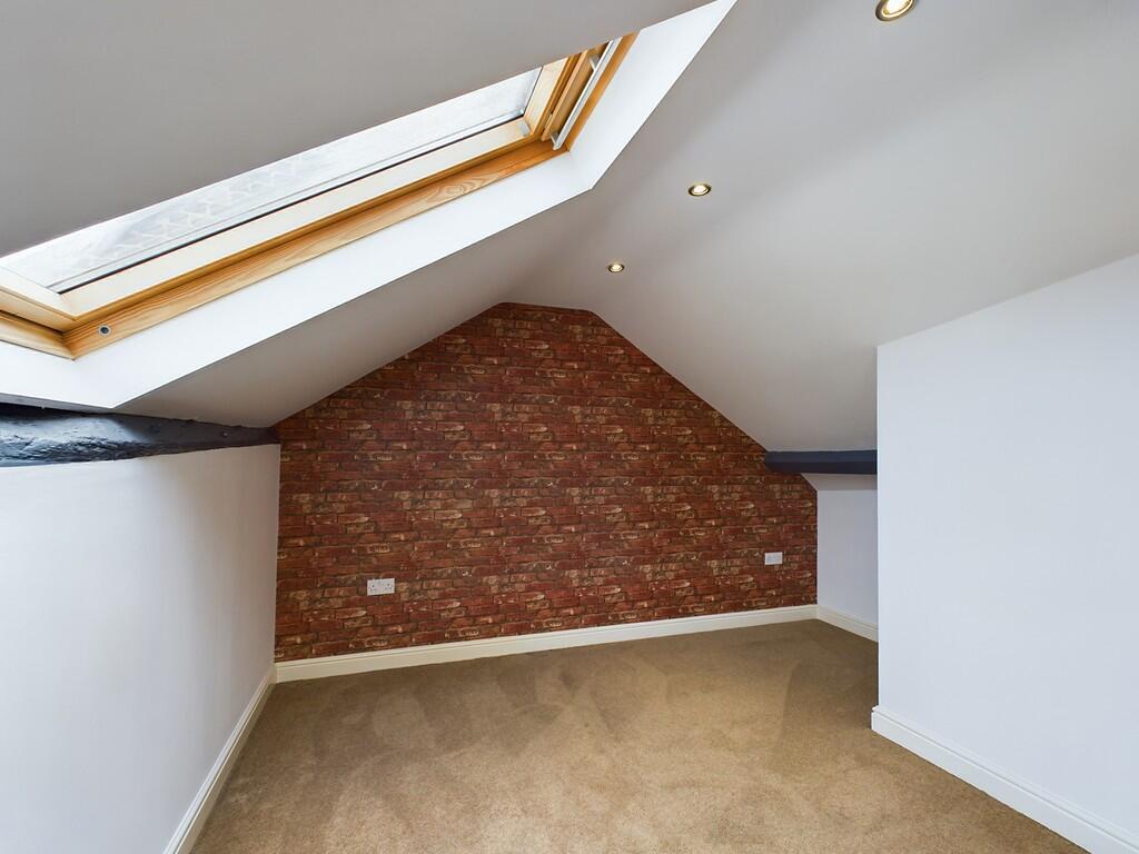
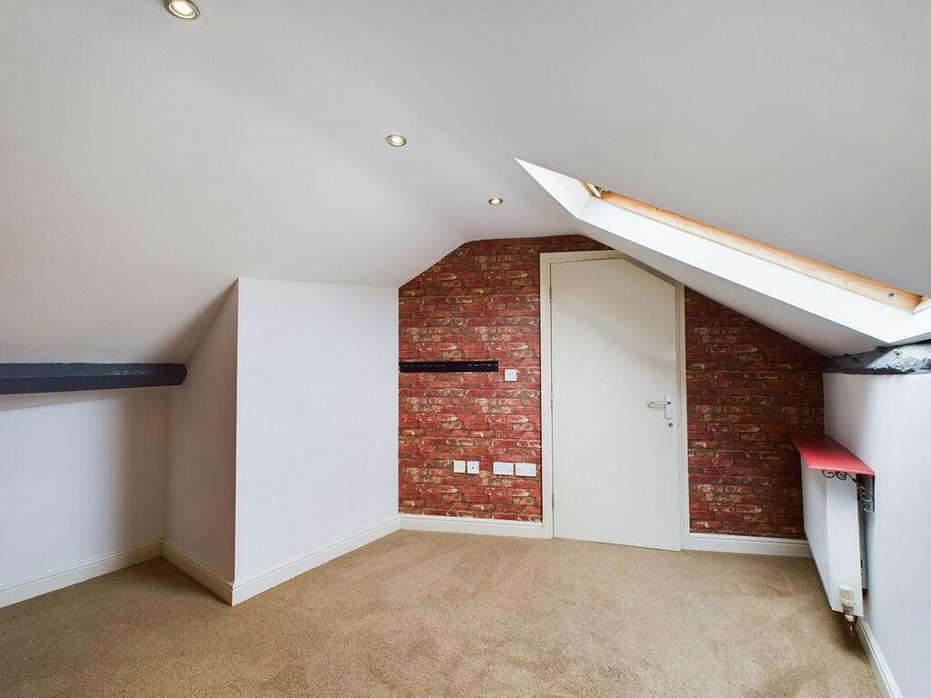
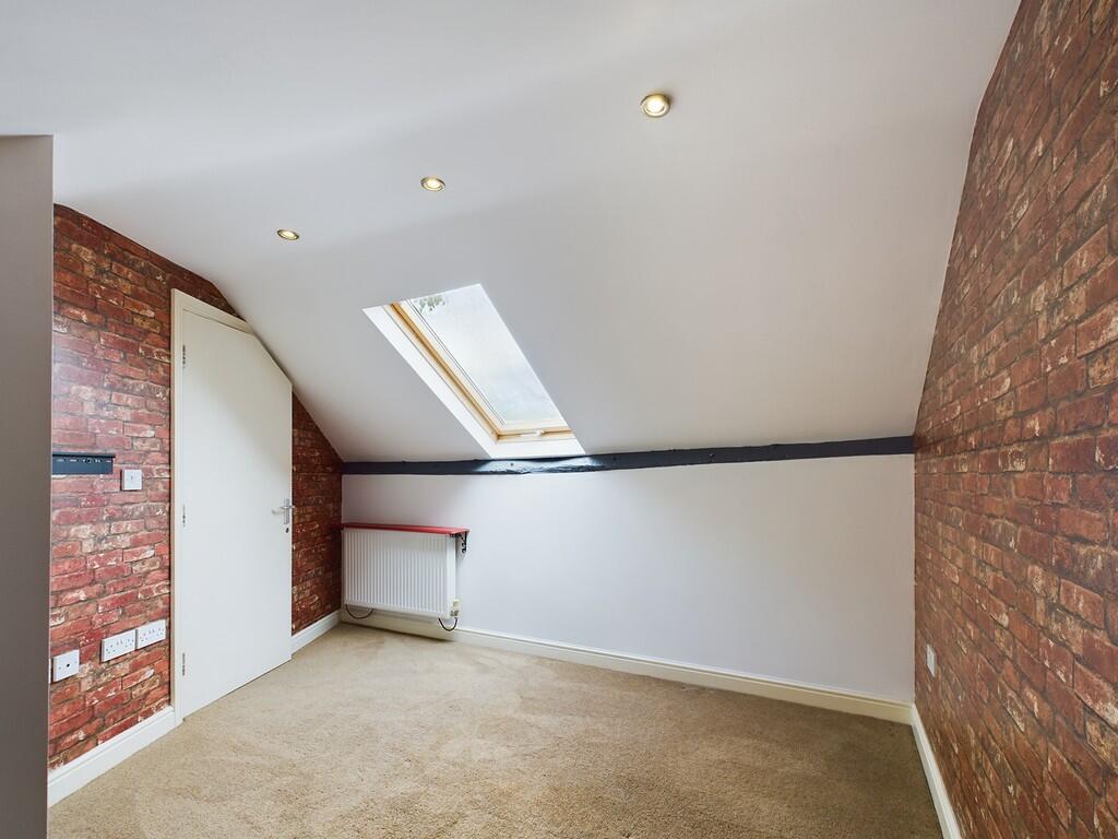
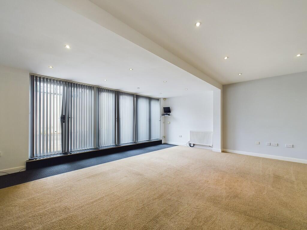
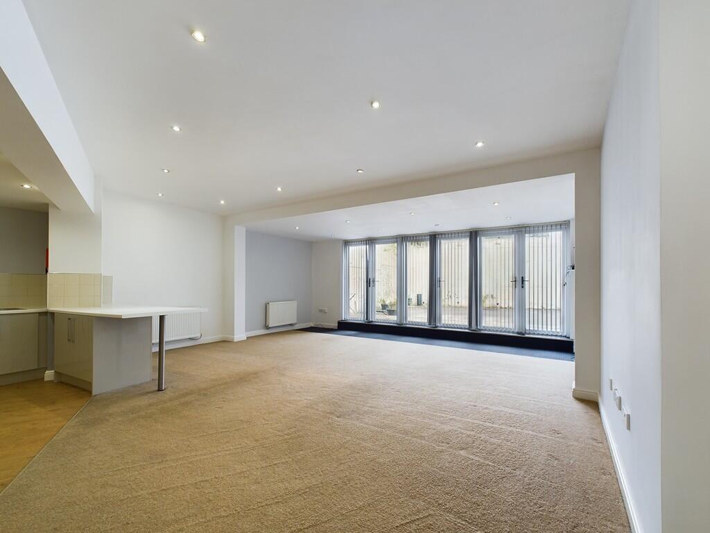
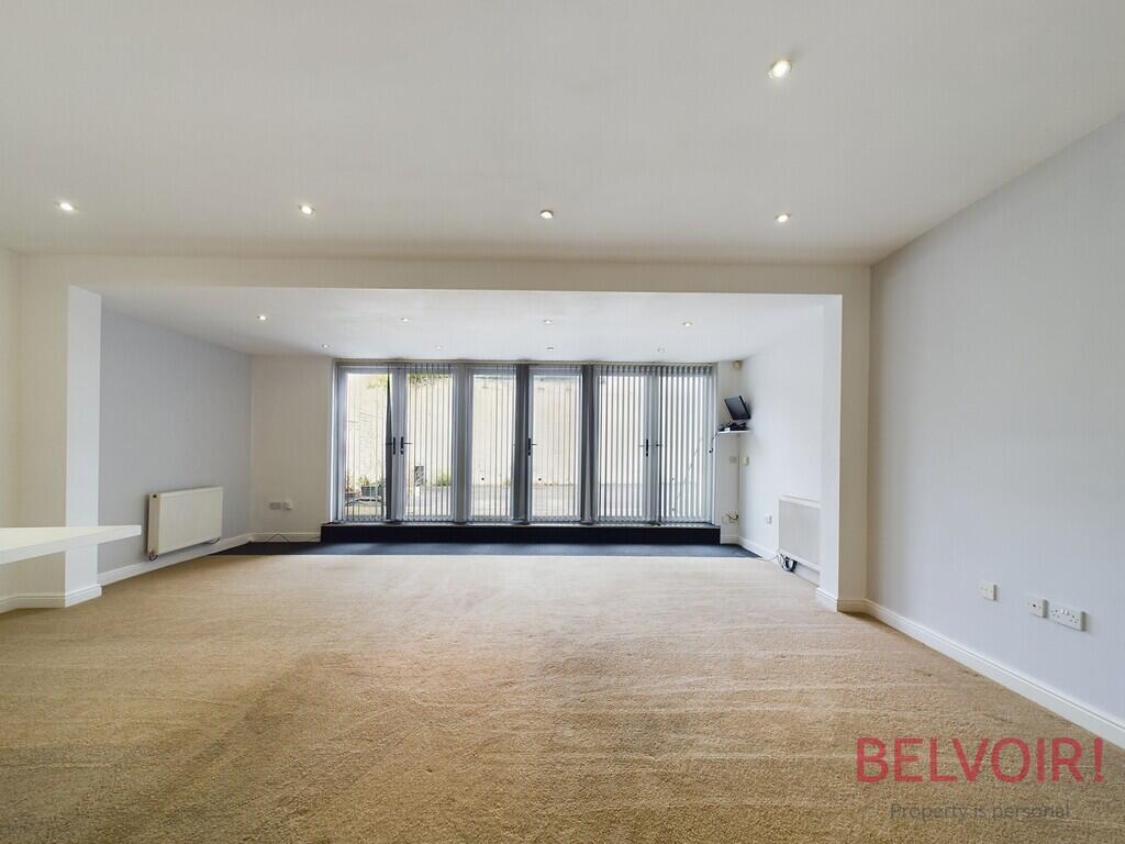
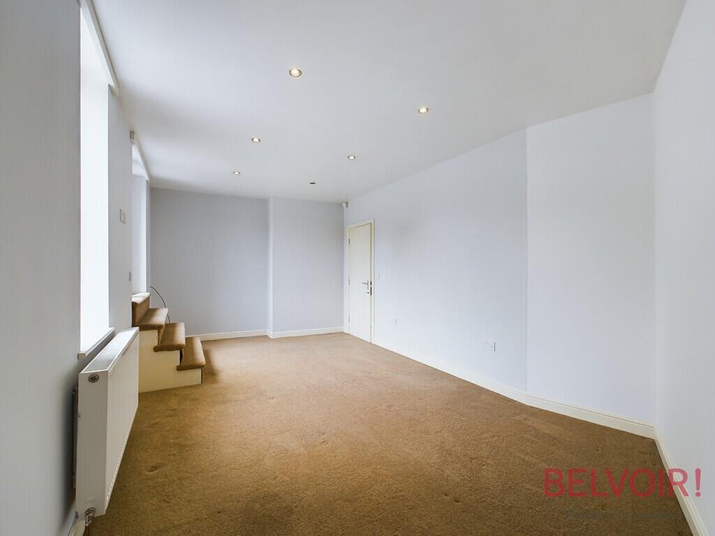
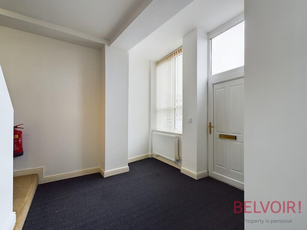
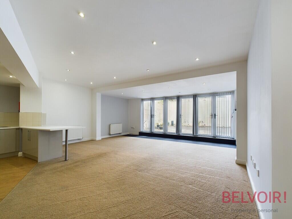
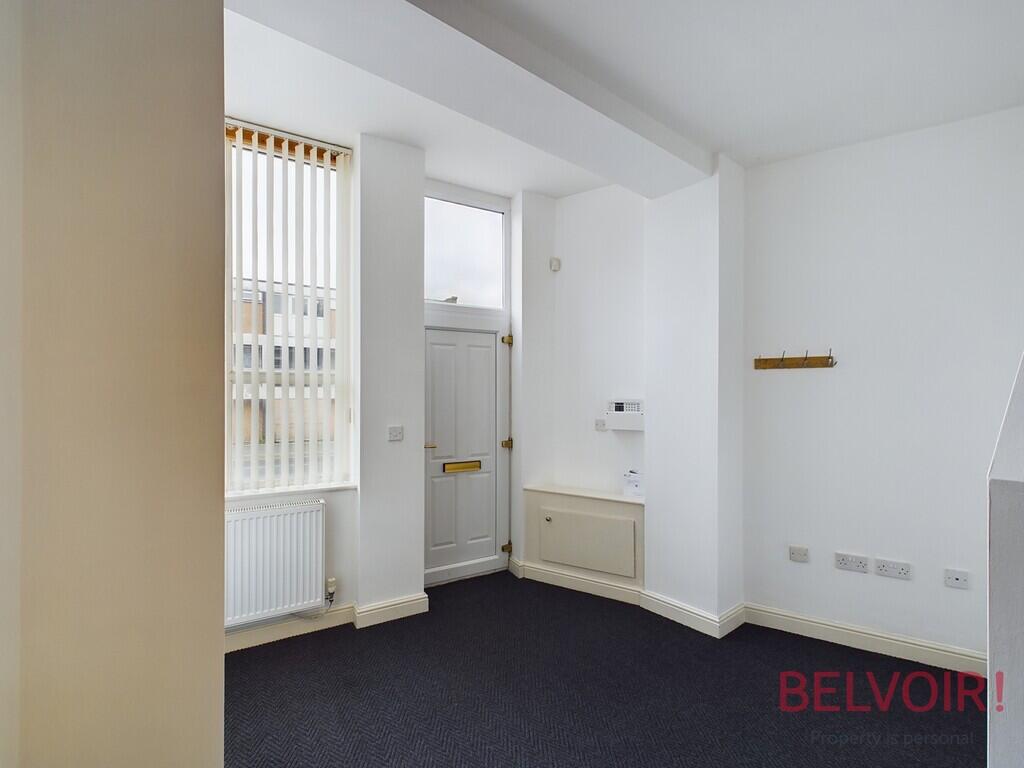
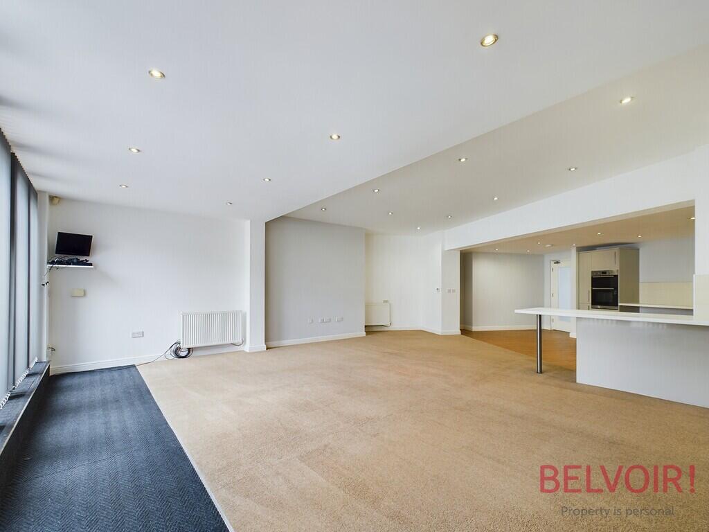
Description
Listed by
Stoke On Trent
The Property Franchise Group
Reference: 174844316
EPC Rating & Upgrade Cost
Fetching EPC data… Refresh this page in a moment.
Flood risk
Zone: 1
Risk: Low
Job (default Low)
Floorplans
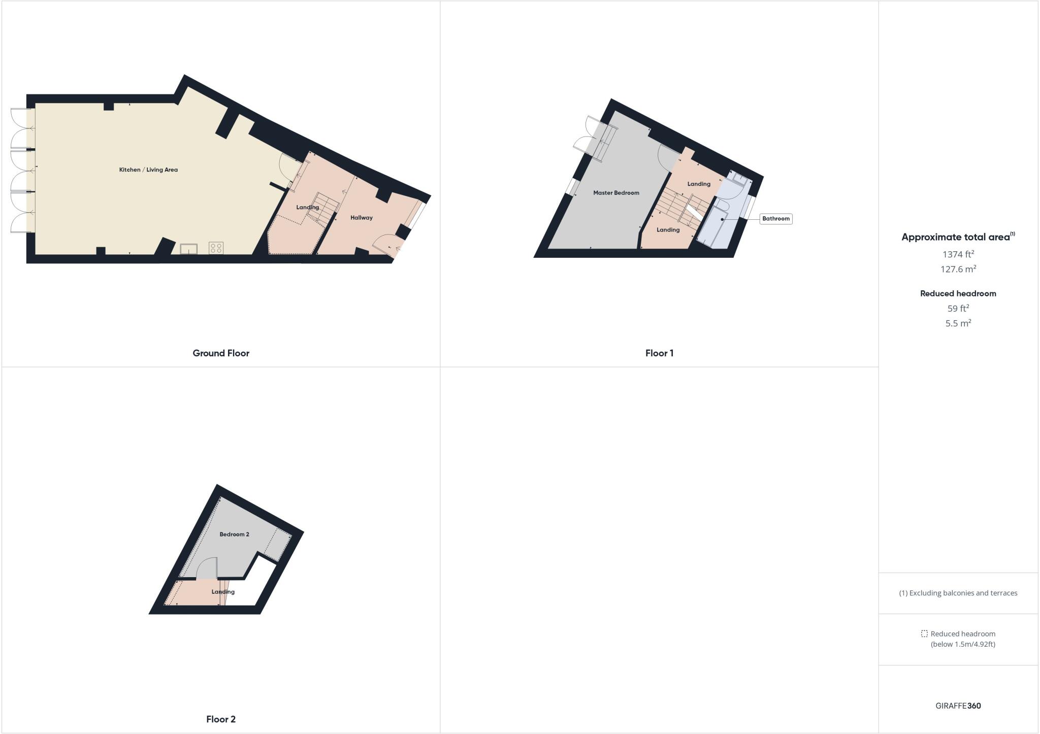
Floorplan 1
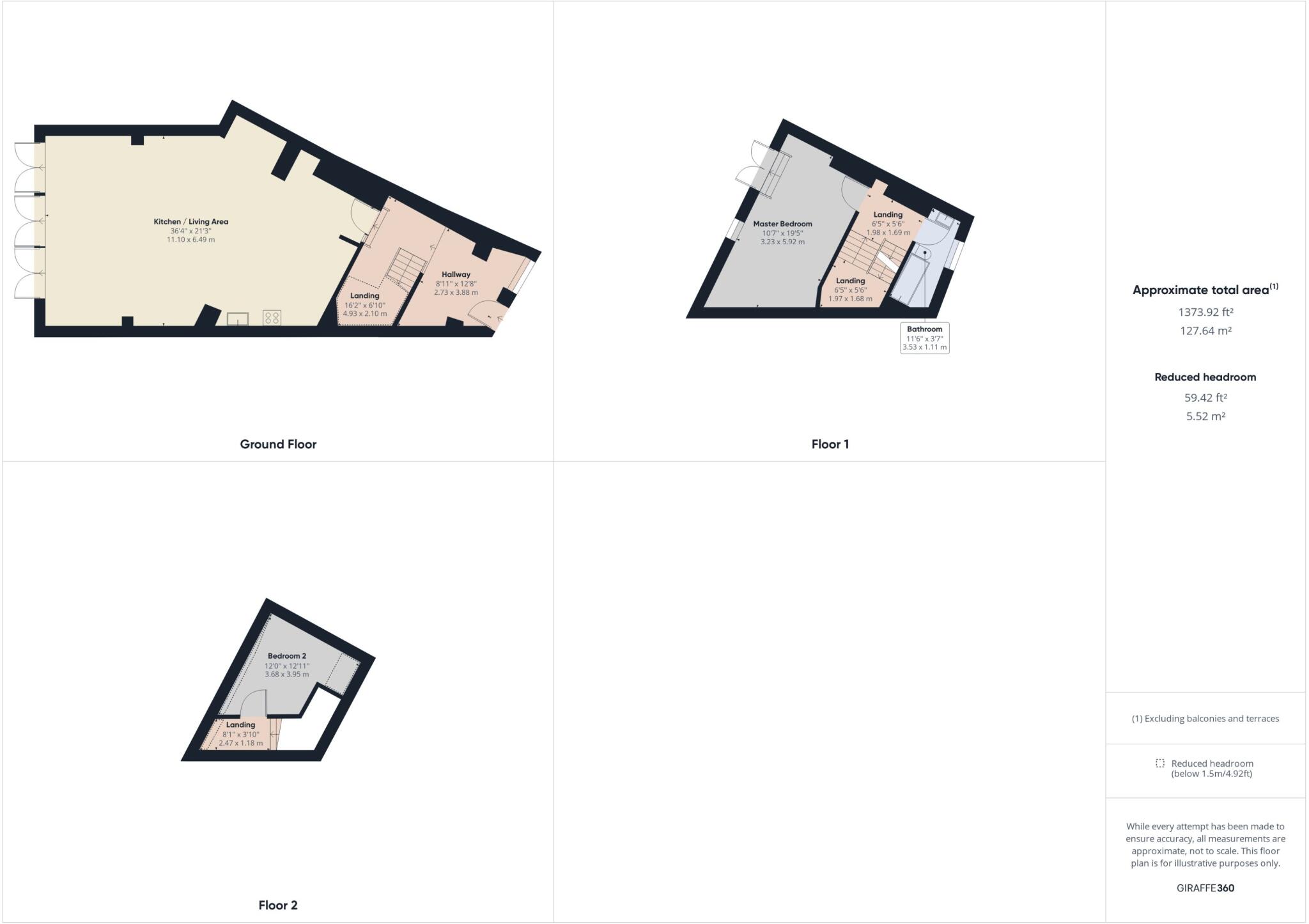
Floorplan 2
EPC Graphs
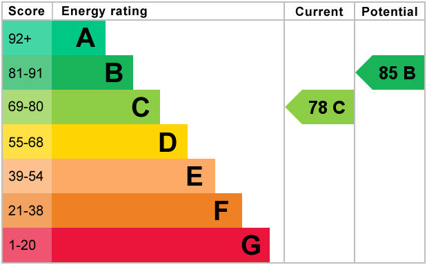
EPC 1
Rental Range
Estimated market rent for Stoke-on-Trent. Low = conservative, Realistic = average, Optimistic = best case.
Based on Local Authority from postcode lookup → Stoke-on-Trent.
LHA (30th percentile) floor for Staffordshire North: £479/mo (Apr 2025 – Mar 2026)
Location
Address
11 Bucknall New Road
Nearby
Nearest stations, universities and amenities (distance from property).
| Type | Name | Distance |
|---|---|---|
| Shop | Project Groove | 0.0 miles |
| Shop | Blinkin-ink! | 0.0 miles |
| Bus stop | Stop O1 | 0.1 miles |
| Bus stop | St Ann Street | 0.1 miles |
| Train station | Stoke-on-Trent | 1.3 miles |
| Train station | Longport | 2.2 miles |
| Hospital | Haywood Hospital Walk-in Centre | 2.3 miles |
| Hospital | Royal Stoke University Hospital | 2.4 miles |
| University | Keele University | 4.5 miles |
| University | Buxton & Leek College | 8.3 miles |
Street-level crime
| Category | Count |
|---|---|
| Violence and sexual offences | 163 |
| Anti-social behaviour | 137 |
| Criminal damage and arson | 54 |
| Public order | 53 |
| Shoplifting | 39 |
| Other theft | 31 |
| Vehicle crime | 26 |
| Drugs | 24 |
| Burglary | 20 |
| Robbery | 15 |
| Other crime | 11 |
| Possession of weapons | 9 |
| Theft from the person | 6 |
| Bicycle theft | 3 |
| Total incidents | 591 |
Within 1 mile during Mar 2026. Source: data.police.uk (England & Wales).
Schools nearby
Nearest open schools with Ofsted ratings (England). Closed schools are not shown. Data from Get Information about Schools and Ofsted.
| Name | Type | Distance | Ofsted |
|---|---|---|---|
| Hanley St Luke's Church of England Academy | Primary | 0.2 miles | Good — 23 Nov 2022 |
| Waterside Primary School | Primary | 0.2 miles | Outstanding — 19 Jun 2019 |
| Northwood Broom Academy | Primary | 0.4 miles | Good — 4 Mar 2013 |
| Grove Academy | Primary | 0.5 miles | Good — 15 Jul 2024 |
| St George and St Martin's Catholic Academy | Primary | 0.6 miles | Good — 29 May 2015 |
Rental Comparables
Residential lets from OpenRent and Rightmove for the area (same bedroom count). Use to validate rent estimates. Student lets are excluded.
Average rent: £799/mo (52 listings)