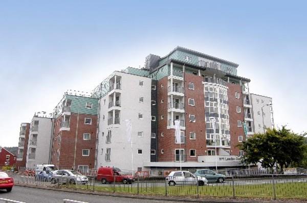
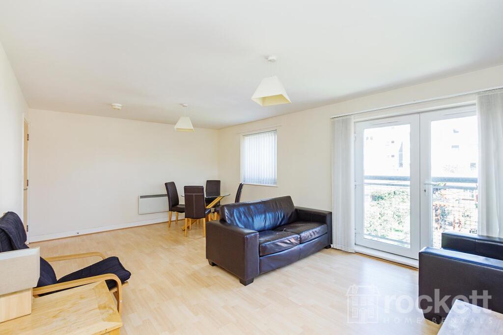
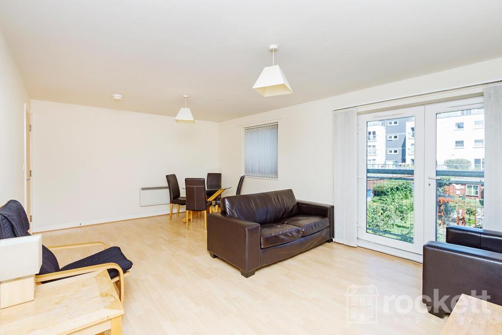
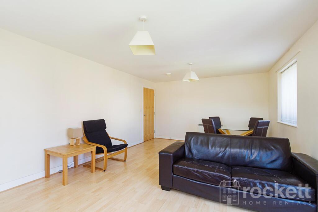
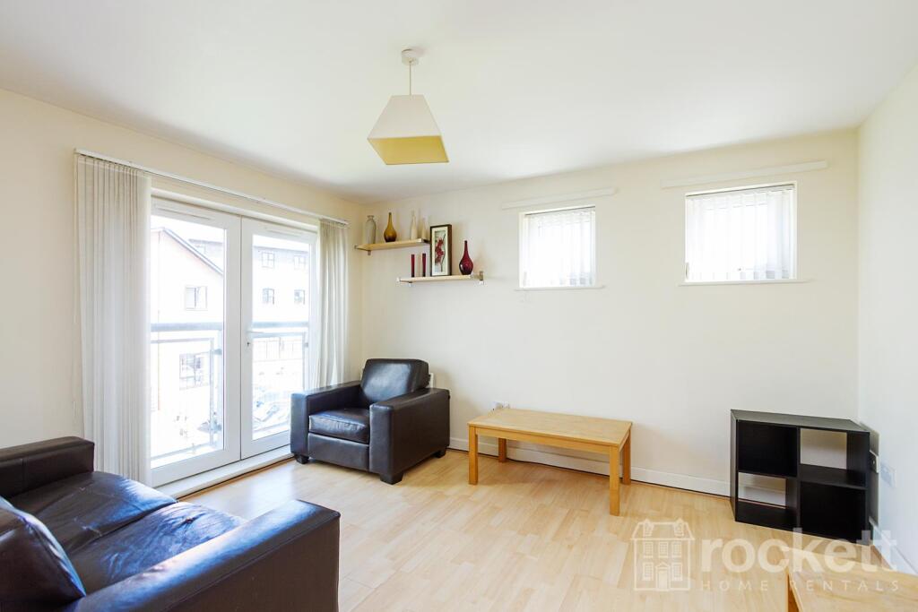
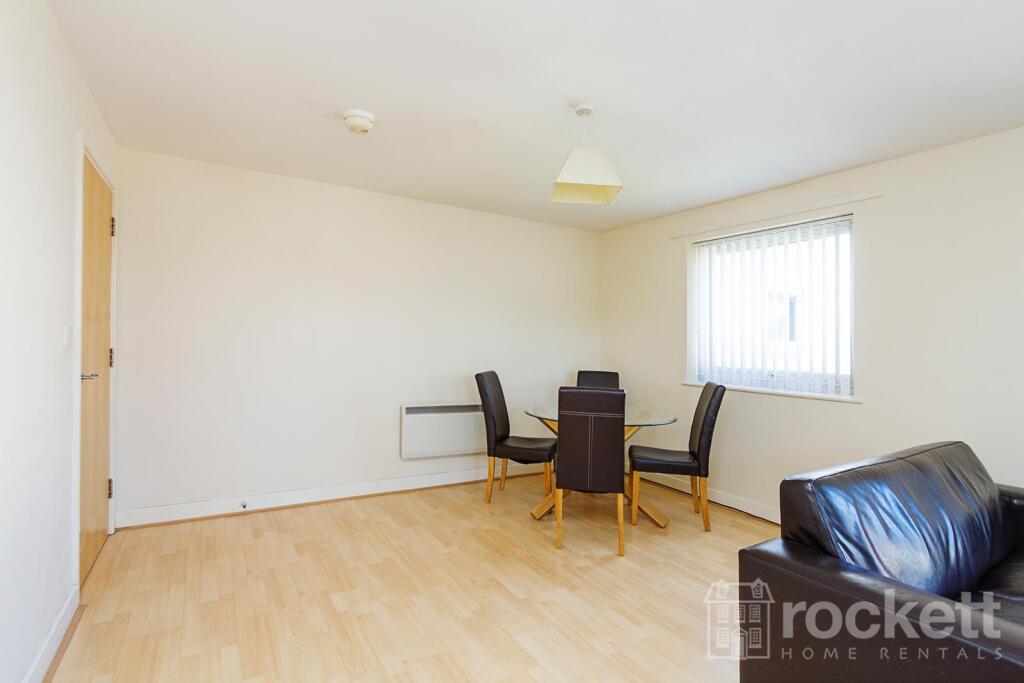
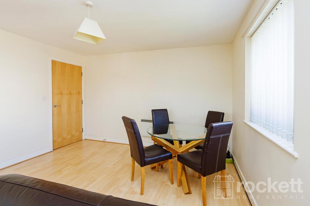
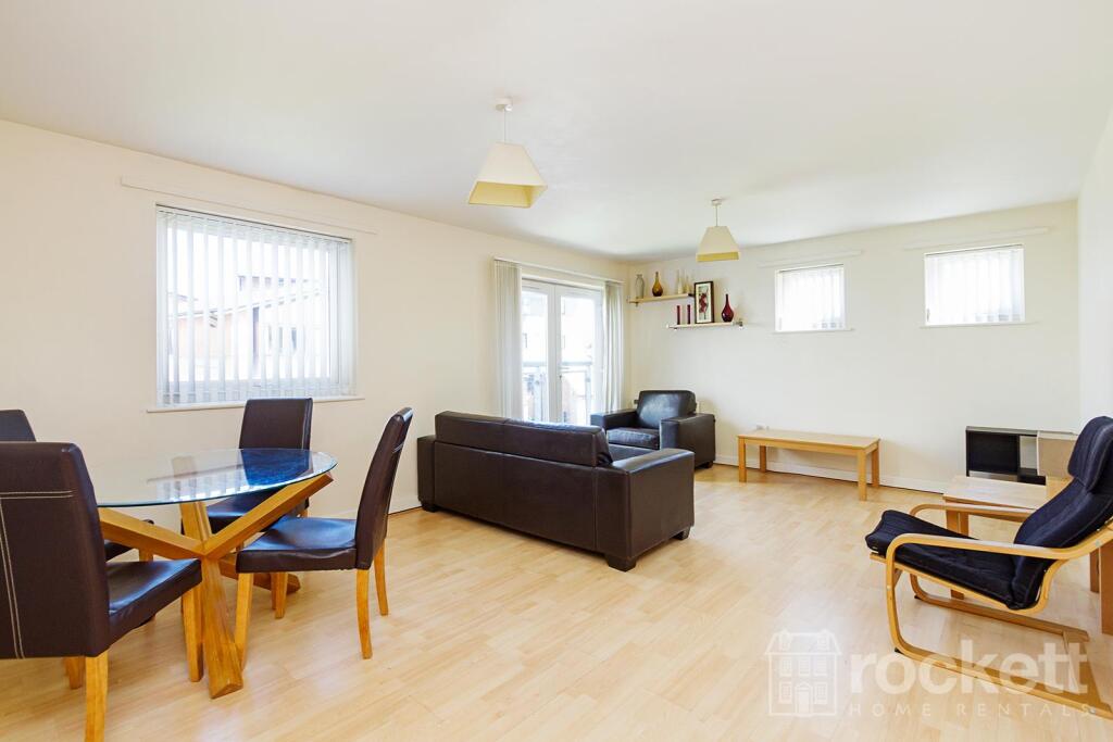
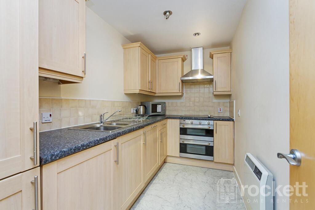
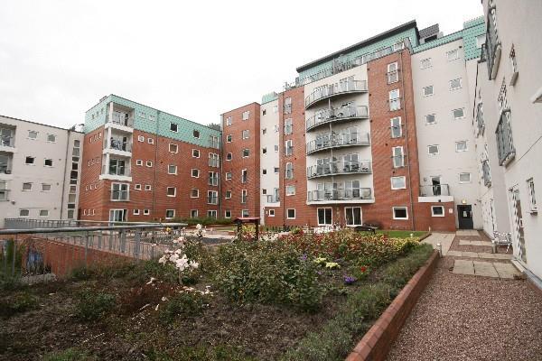
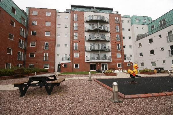
FLAT 6
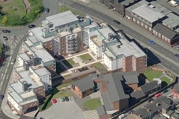
WINDSOR COURT, LONDON ROAD, NEWCASTLE, NEWCASTLE, STAFFORDSHIRE ST5 1NY
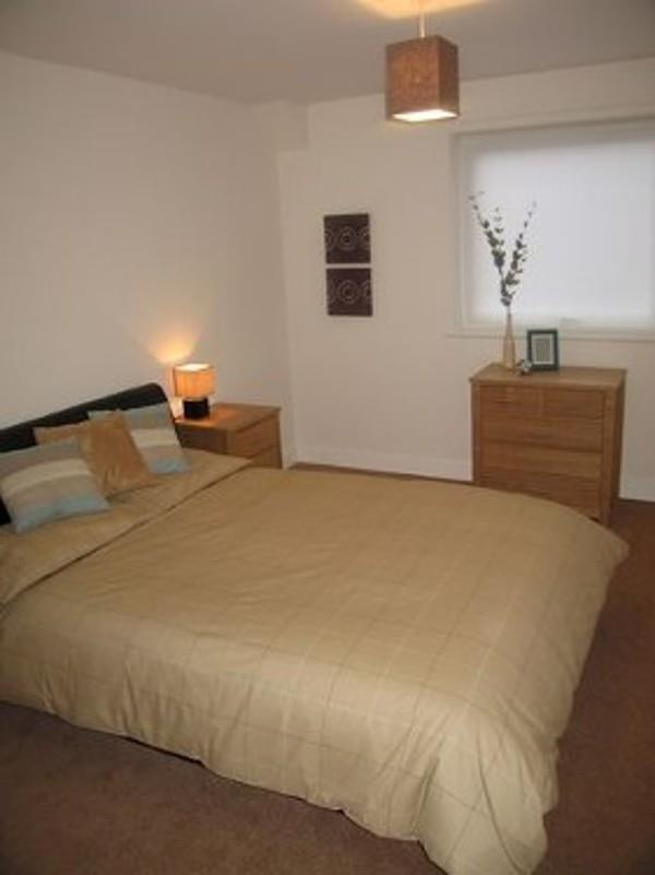
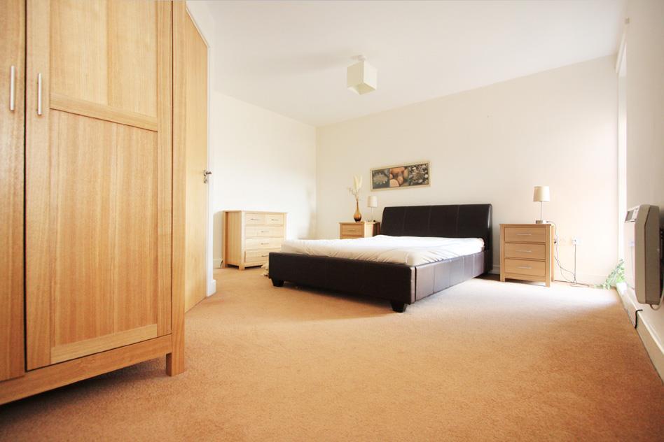
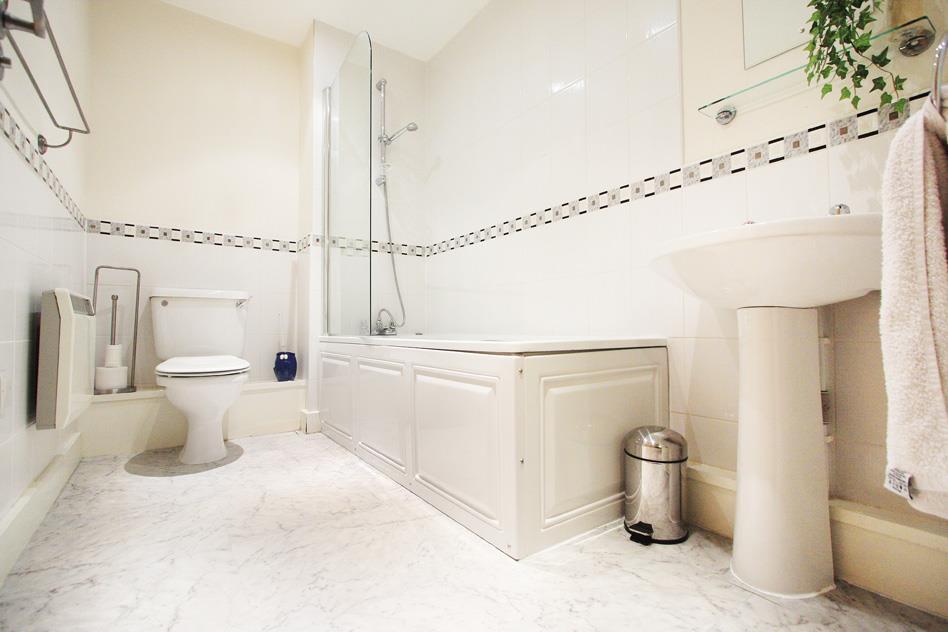
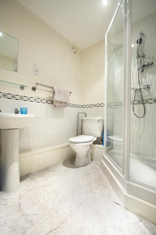
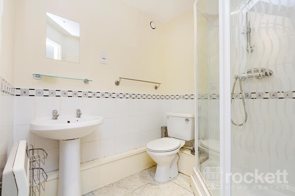
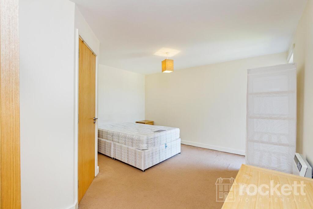
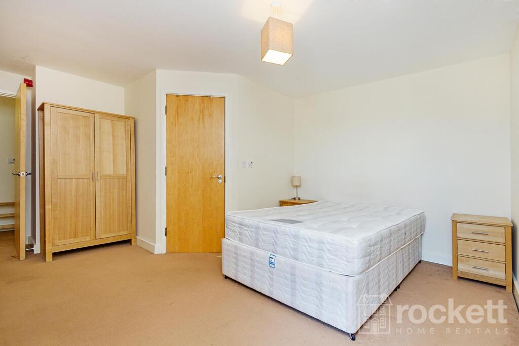
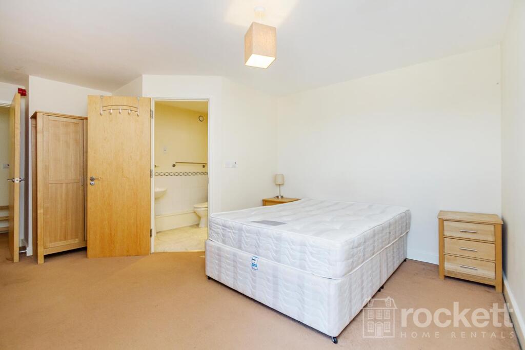

Picture 1 Picture 2 Picture 3 Picture 4 Picture 5 Picture 6 Picture 7 Picture 8 Picture 9 Picture 10 Picture 11 Picture 12 Picture 13 Picture 14 Picture 15 Picture 16 Picture 17 Picture 18 Picture 19 Picture 20 Picture 21 Picture 22 Picture 23 Picture 24 Picture 25 Picture 26 Picture 27 Picture 28 Picture 29 Picture 30 Picture 31 Picture 32 Picture 33 Picture 34 Picture 35 Picture 36 Picture No. 45
/ 37
Property details
Floor area
73 m²
Council tax band
C
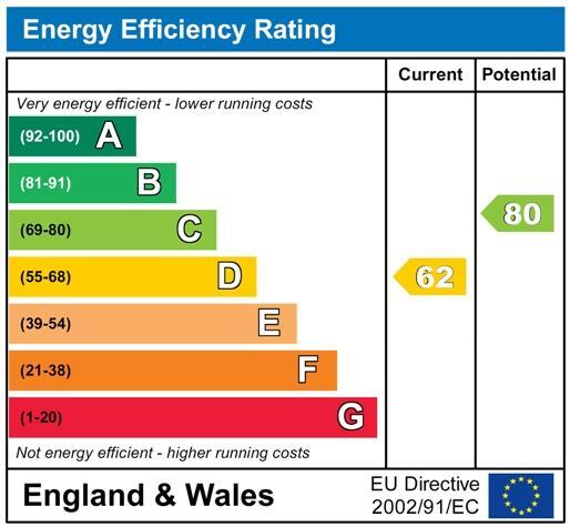
EPC rating
C
Year built
England and Wales: 2003-2006
Deprivation
Decile 4 (10,391 of 33,755)
Street crime
386 incidents within 1 mile (Mar 2026)
Key features
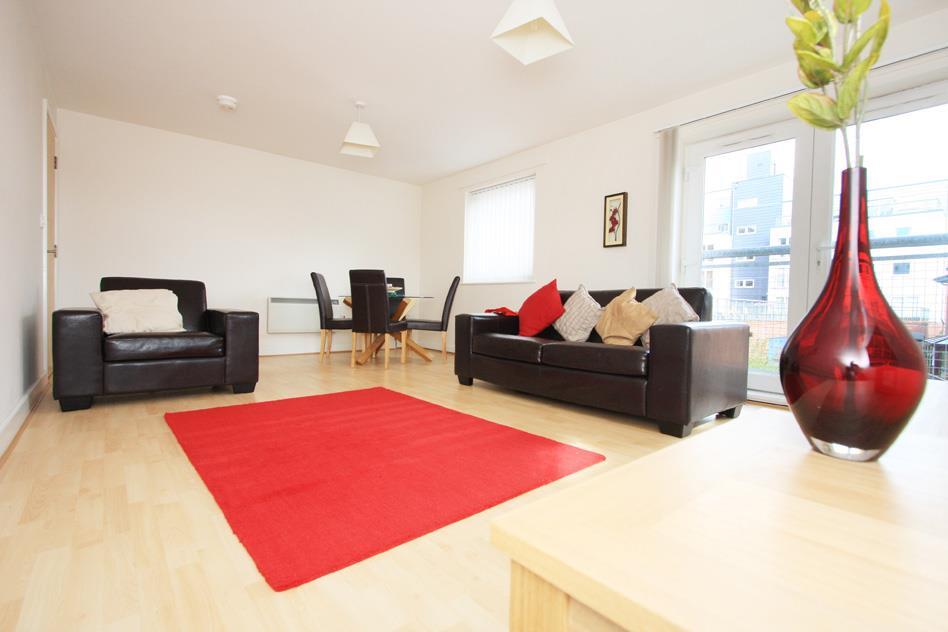
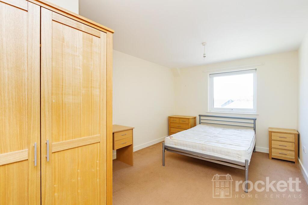
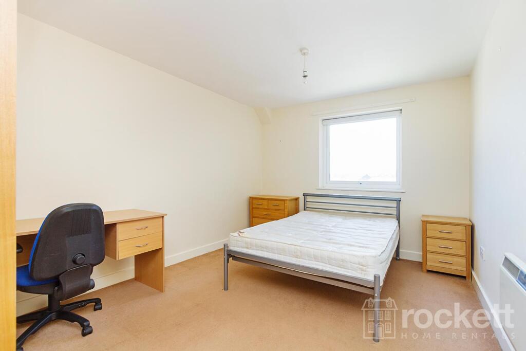
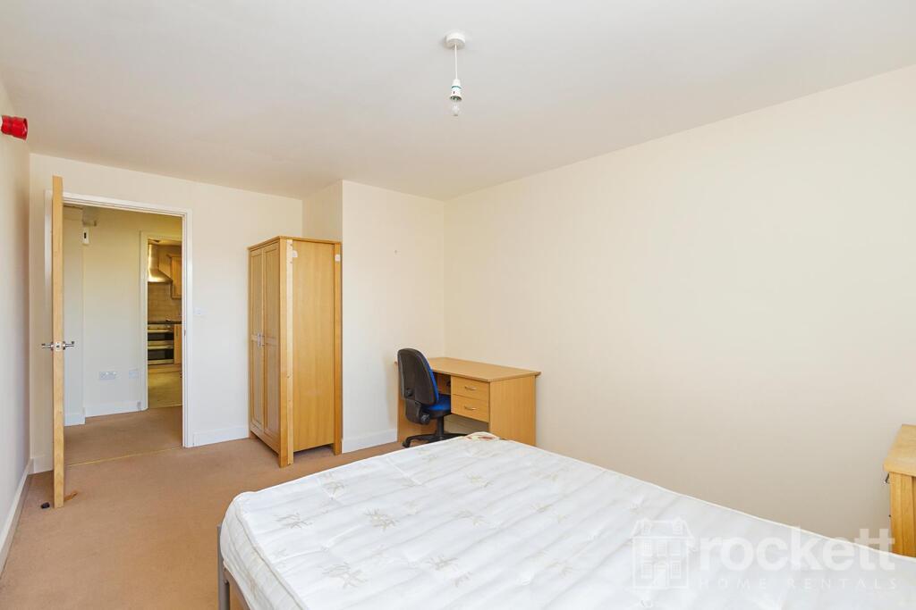
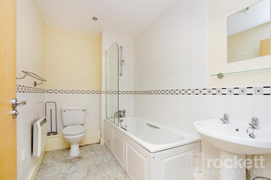
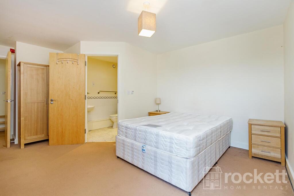
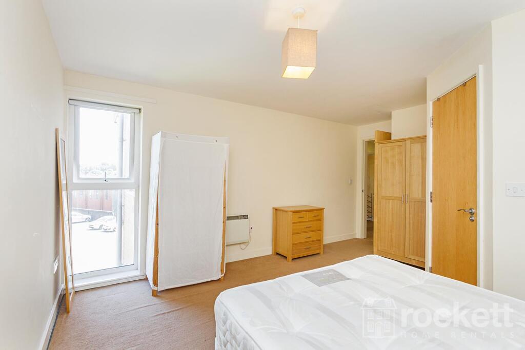
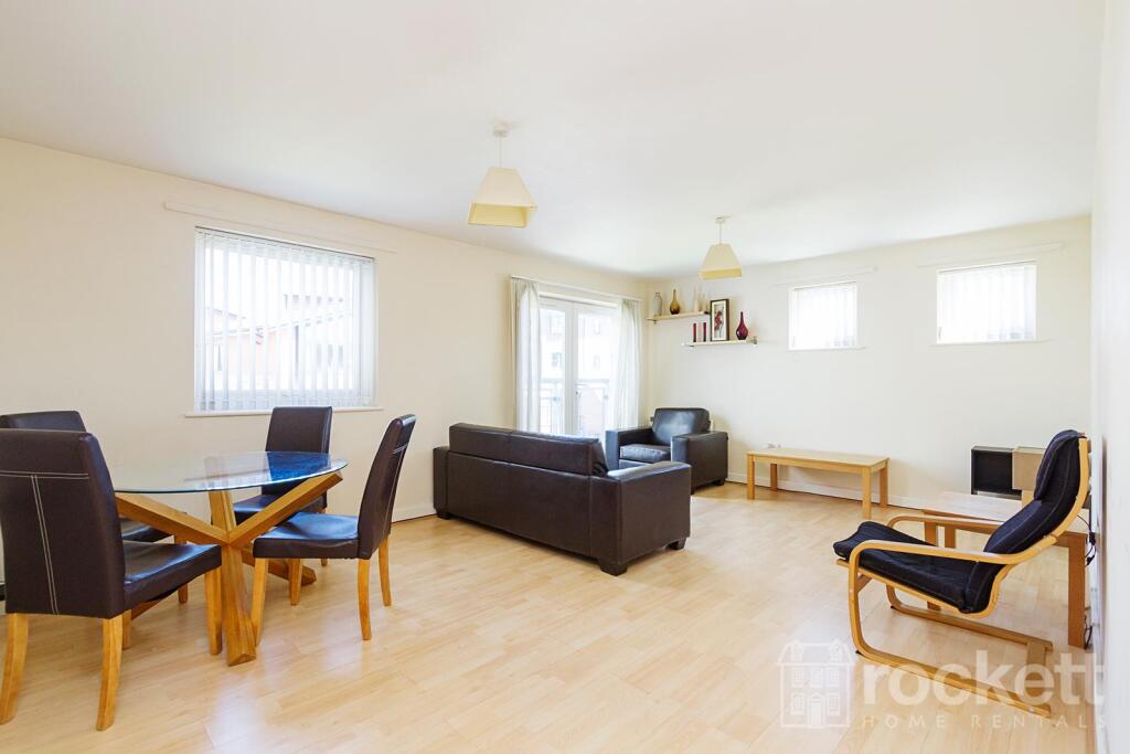
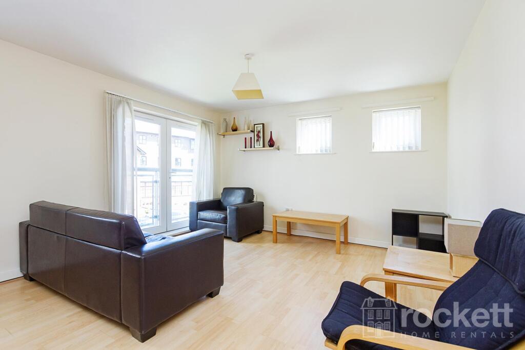
- 2 bed apartment
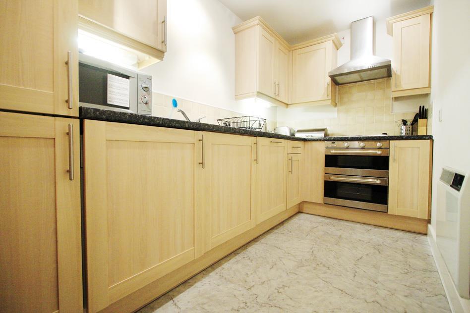
- Furnished
- Near Royal Stoke University Hospital
Additional details
- Parking
- Allocated
- Garden
- Yes
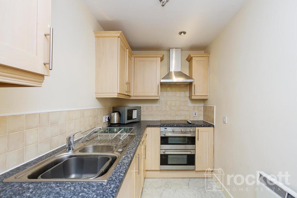
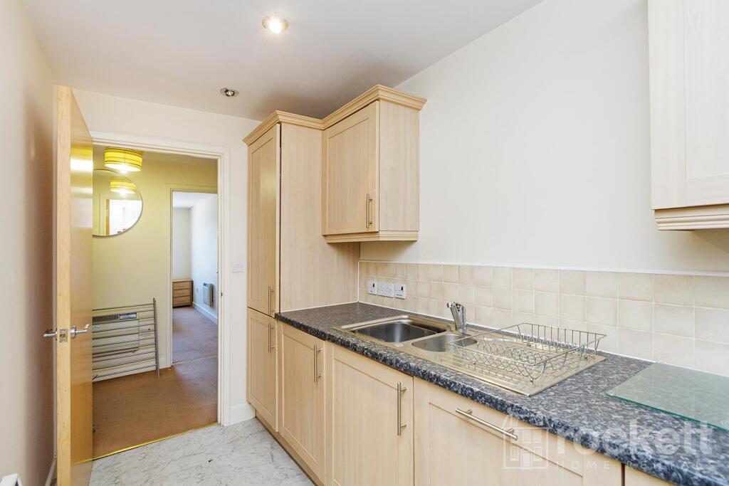
Description
Deposit free option or traditional 5 week deposit available
We have created a brochure with further information about this property:
Listed by
Wolstanton
Rockett Home Rentals Ltd
Reference: 87496521
EPC Rating & Upgrade Cost
Current rating: C
Potential rating: B
Inspection date: 24/01/2020
Current heating cost: £306/year
Potential heating cost: £211/year
Est. upgrade cost to C: £1,515
Recommendations
- Low energy lighting for all fixed outlets (£15)
- High heat retention storage heaters (£1,200 - £1,800)
Flood risk
Zone: 1
Risk: Low
Job (default Low)
Rental Range
Estimated market rent for Newcastle-under-Lyme. Low = conservative, Realistic = average, Optimistic = best case.
Based on Local Authority from postcode lookup → Newcastle-under-Lyme.
LHA (30th percentile) floor for Staffordshire North: £479/mo (Apr 2025 – Mar 2026)
Location
Address
1 London Road
Nearby
Nearest stations, universities and amenities (distance from property).
| Type | Name | Distance |
|---|---|---|
| Bus stop | Cherry Tree PH | 0.1 miles |
| Bus stop | Lyme Valley Road | 0.1 miles |
| Shop | Timpson | 0.1 miles |
| Shop | Topps Tiles | 0.1 miles |
| Hospital | Hartshill Medical Centre | 0.6 miles |
| Hospital | Royal Stoke University Hospital | 0.6 miles |
| Train station | Stoke-on-Trent | 1.8 miles |
| University | University of Staffordshire Stoke Campus | 1.8 miles |
| University | Keele University | 2.0 miles |
| Train station | Longport | 2.4 miles |
Street-level crime
| Category | Count |
|---|---|
| Violence and sexual offences | 160 |
| Anti-social behaviour | 69 |
| Public order | 41 |
| Criminal damage and arson | 23 |
| Shoplifting | 21 |
| Other theft | 18 |
| Vehicle crime | 15 |
| Burglary | 10 |
| Other crime | 10 |
| Drugs | 7 |
| Possession of weapons | 4 |
| Robbery | 4 |
| Bicycle theft | 2 |
| Theft from the person | 2 |
| Total incidents | 386 |
Within 1 mile during Mar 2026. Source: data.police.uk (England & Wales).
Schools nearby
Nearest open schools with Ofsted ratings (England). Closed schools are not shown. Data from Get Information about Schools and Ofsted.
| Name | Type | Distance | Ofsted |
|---|---|---|---|
| Hassell Primary School | Primary | 0.1 miles | Good — 25 Oct 2023 |
| Blackfriars Academy | Other | 0.3 miles | Outstanding — 6 Feb 2013 |
| Newcastle-under-Lyme School | Other | 0.3 miles | — (No rating) |
| St Giles' and St George's Church of England Academy | Primary | 0.4 miles | Good — 21 May 2023 |
| Co-op Academy Friarswood | Primary | 0.4 miles | Good — 8 Mar 2013 |
Rental Comparables
Residential lets from OpenRent and Rightmove for the area (same bedroom count). Use to validate rent estimates. Student lets are excluded.
Average rent: £838/mo (42 listings)