8 BOUNDARY ROAD
BISHOP'S STORTFORD, HERTFORDSHIRE CM23 5LE
£1,495 pcm
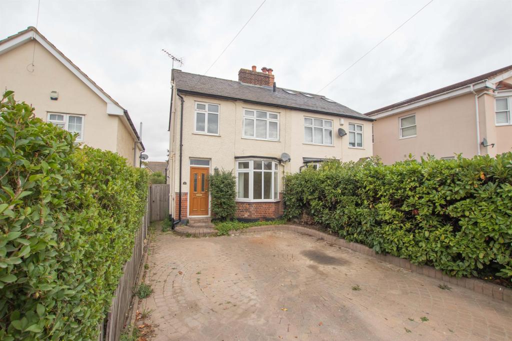

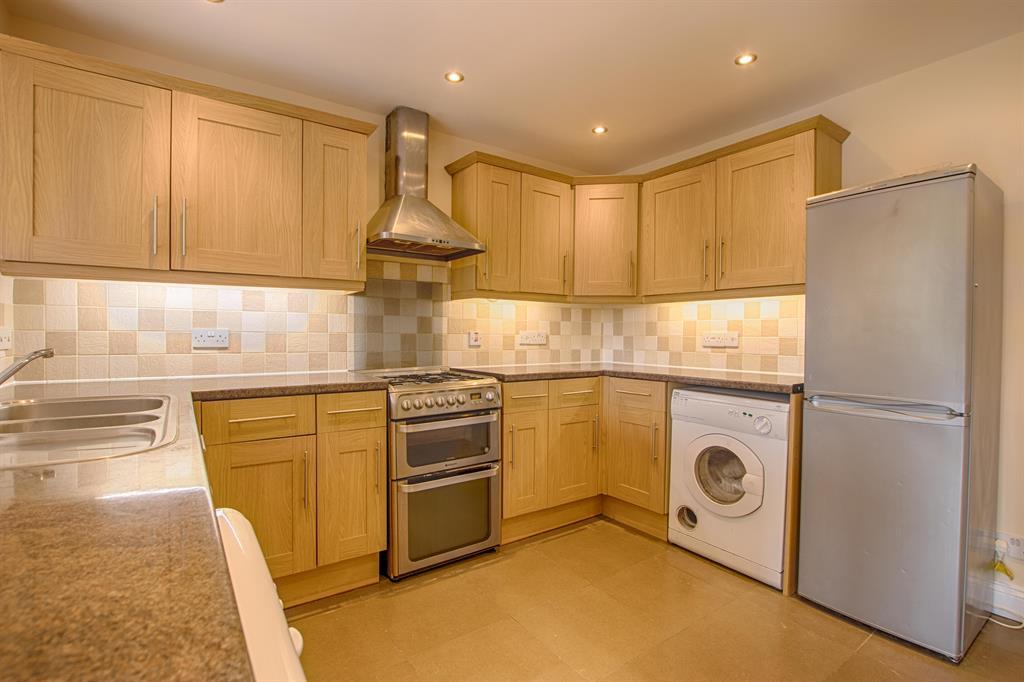
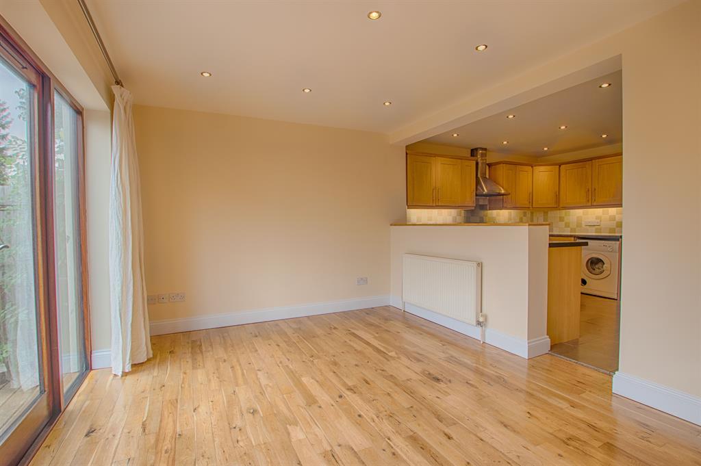
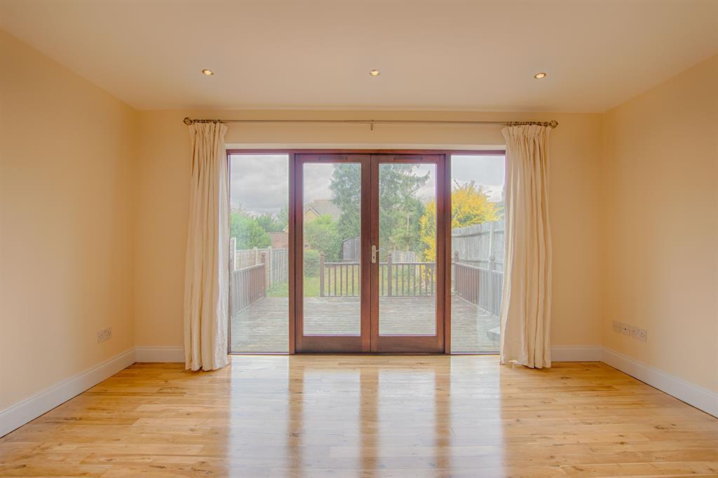
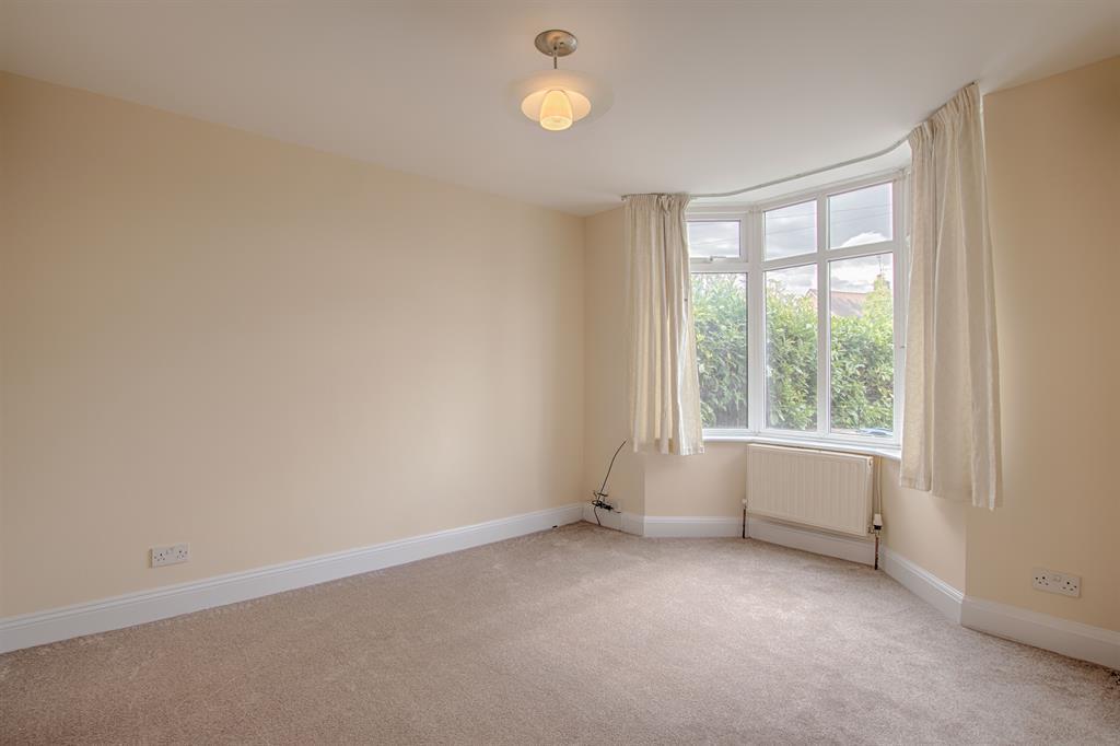
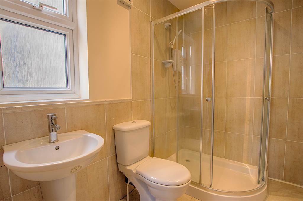
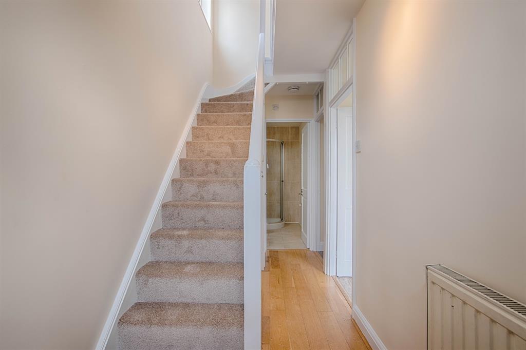
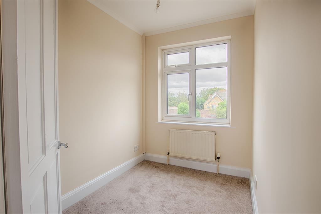
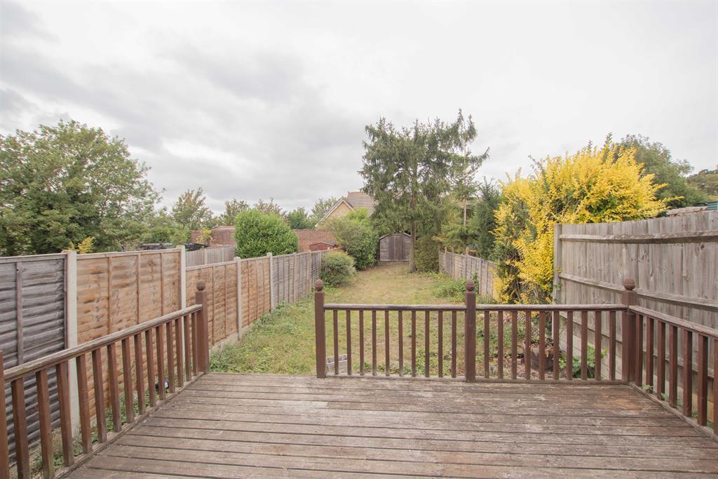
Photo 1 Photo 2 Photo 3 Photo 4 Photo 5 Photo 6 Photo 7 Photo 8 Photo 9 Photo 10 Photo 11 Photo 12 Photo 13 Photo 14
/ 14
Property details
Floor area
80 m²
Deprivation
Decile 9 (28,496 of 33,755)
Street crime
207 incidents within 1 mile (Apr 2026)
Key features
- WELL PRESENTED
- GREAT POSITION
- 3 BEDROOMS
- 2 BATHROOMS
- LARGE GARDEN WITH DECKING
- PARKING
- EASY WALK TO STATION
- EPC RATING - D
Additional details
- Parking
- Yes
- Garden
- Yes
Description
Listed by
Bishop's Stortford
Hunters Property Group Ltd
Reference: 77445186
EPC Rating & Upgrade Cost
Fetching EPC data… Refresh this page in a moment.
Flood risk
Zone: 1
Risk: Low
Job (default Low)
EPC Graphs
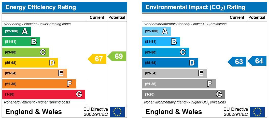
EPC
FENSA Certificates
This property has 1 FENSA certificate(s) on record, indicating window/door installations by FENSA-approved installers.
FENSA Certificate #4204381
Property Details
Street: 8 Boundary Road
Town: BISHOP'S STORTFORD
Postcode: CM23 5LE
Installation Details
Items: 1 door
Certificate Issued: 07/11/2006
Work Completed: 23/10/2006
This certificate data was retrieved from FENSA's database
What is FENSA? FENSA (Fenestration Self-Assessment Scheme) is a government-authorised scheme that monitors building regulation compliance for replacement windows and doors. Certificates indicate that work was completed by FENSA-approved installers.
Rental Range
Estimated market rent for East Hertfordshire. Low = conservative, Realistic = average, Optimistic = best case.
Based on Local Authority from postcode lookup → East Hertfordshire.
LHA (30th percentile) floor for Harlow & Stortford: £1,207/mo (Apr 2025 – Mar 2026)
Location
Nearby
Nearest stations, universities and amenities (distance from property).
| Type | Name | Distance |
|---|---|---|
| Bus stop | Beldams Lane | 0.1 miles |
| Shop | Little Waitrose | 0.2 miles |
| Shop | Bakers Bikes | 0.2 miles |
| Train station | Bishop's Stortford | 0.3 miles |
| Train station | Stansted Mountfitchet | 3.0 miles |
| Hospital | Jacob's Neuro Centre | 4.0 miles |
| Hospital | Saffron Walden Community Hospital (no A&E) | 11.8 miles |
Street-level crime
| Category | Count |
|---|---|
| Violence and sexual offences | 70 |
| Anti-social behaviour | 47 |
| Shoplifting | 34 |
| Burglary | 12 |
| Criminal damage and arson | 12 |
| Vehicle crime | 9 |
| Other theft | 8 |
| Drugs | 4 |
| Public order | 4 |
| Theft from the person | 3 |
| Possession of weapons | 2 |
| Bicycle theft | 1 |
| Robbery | 1 |
| Total incidents | 207 |
Within 1 mile during Apr 2026. Source: data.police.uk (England & Wales).
Schools nearby
Nearest open schools with Ofsted ratings (England). Closed schools are not shown. Data from Get Information about Schools and Ofsted.
| Name | Type | Distance | Ofsted |
|---|---|---|---|
| Thorn Grove Primary School | Primary | 0.3 miles | Good — 9 Jun 2019 |
| The Hertfordshire & Essex High School and Science College | Secondary | 0.4 miles | Outstanding — 14 Jan 2024 |
| The Bishop's Stortford High School | Secondary | 0.5 miles | Outstanding — 16 May 2017 |
| Thorley Hill Primary School | Primary | 0.5 miles | Good — 27 Sep 2014 |
| Hockerill Anglo-European College | Secondary | 0.6 miles | Good — 19 Apr 2023 |
Rental Comparables
Rental listings exist nearby, but none matched the 3-bedroom count for this property.