35 GORWAY ROAD
WALSALL, WEST MIDLANDS WS1 3BE
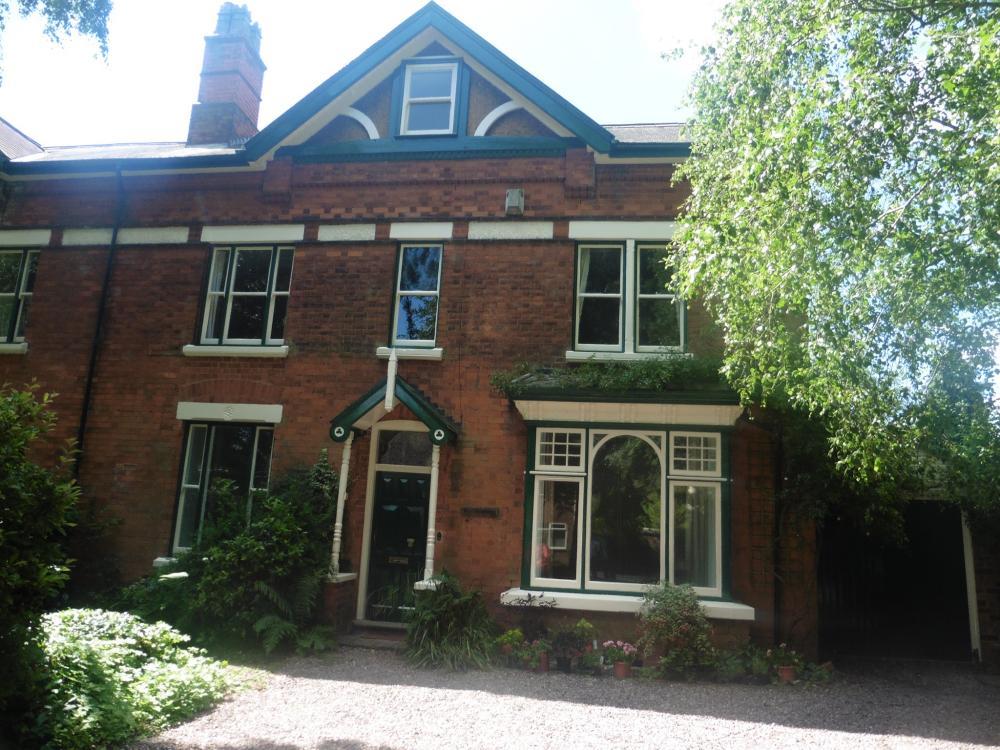
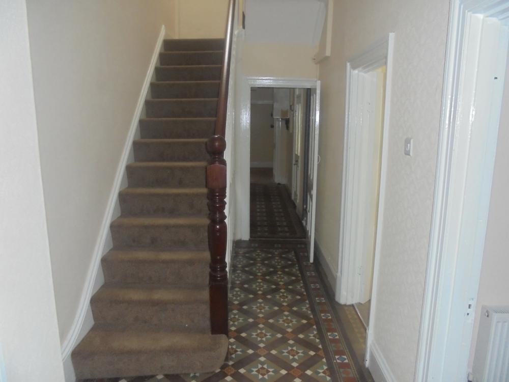
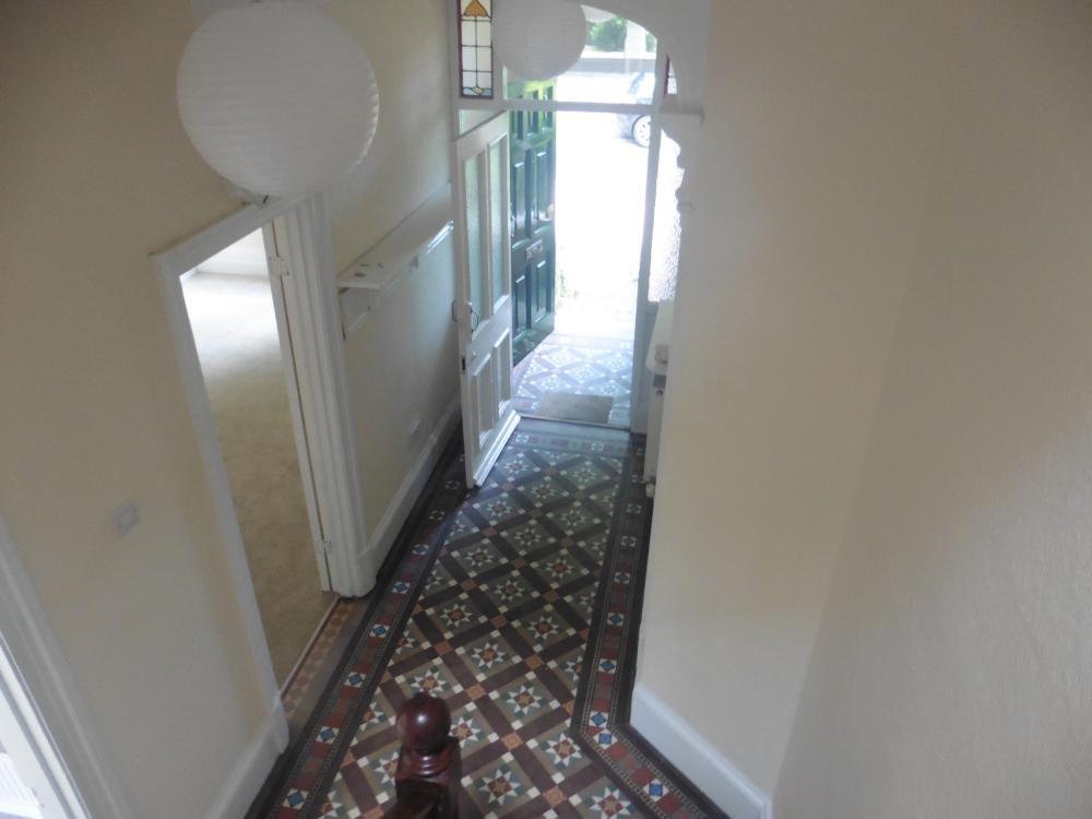
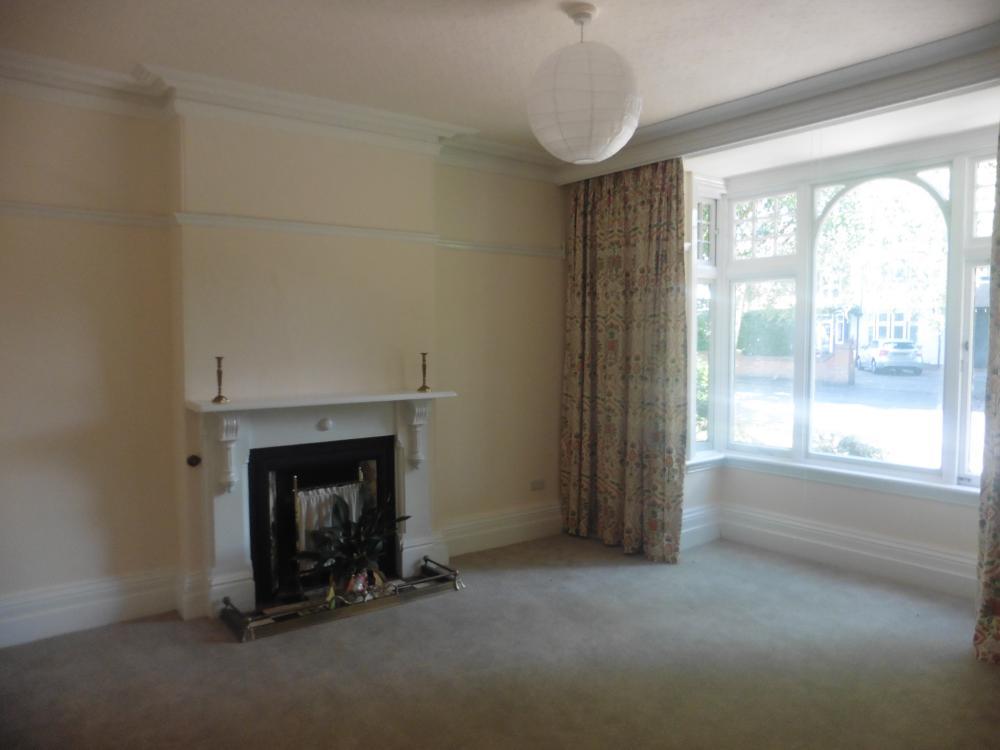
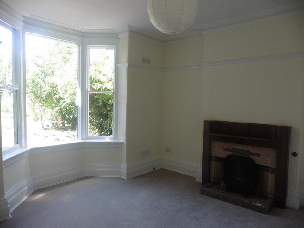
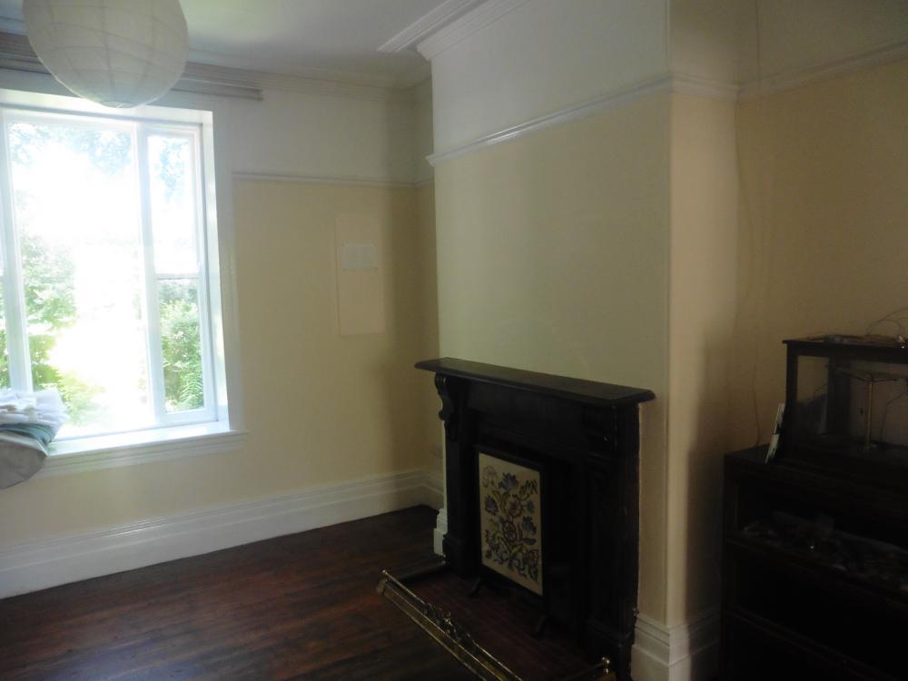
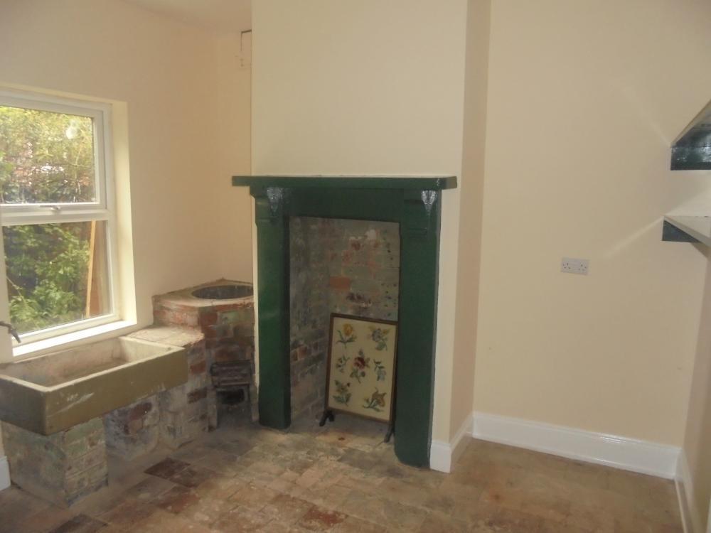
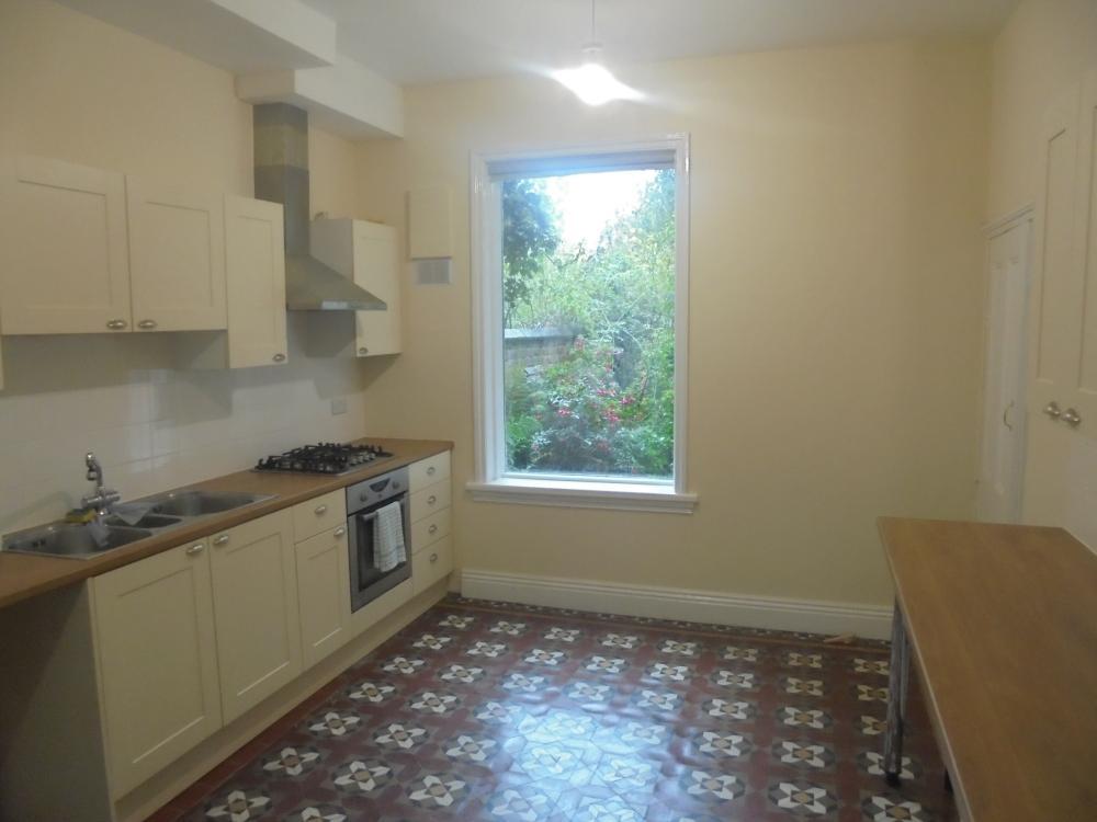
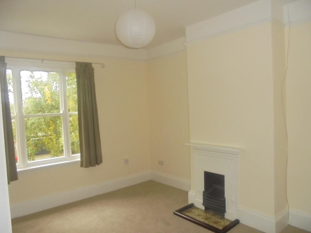
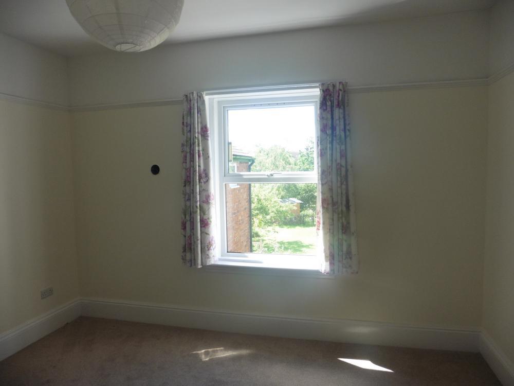
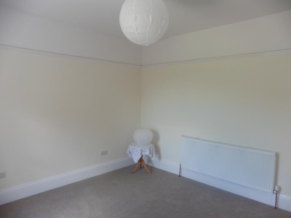
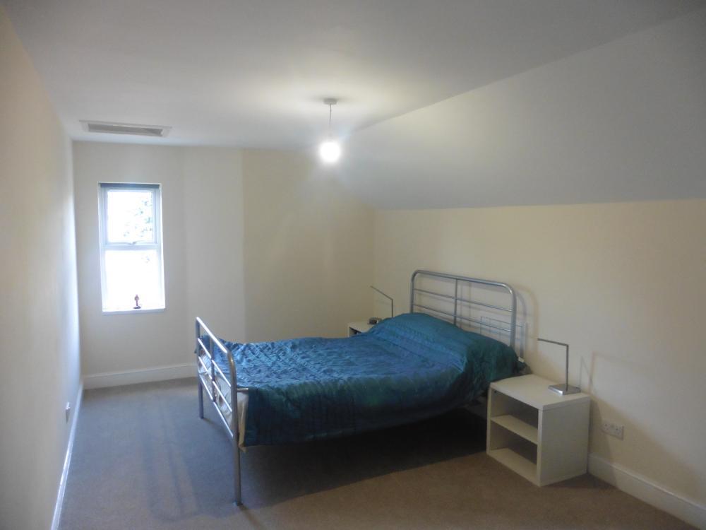

Photo 1 Photo 2 Photo 3 Photo 4 Photo 5 Photo 6 Photo 7 Photo 8 Photo 9 Photo 10 Photo 11 Photo 12 Photo 13 Photo 14 Photo 15 Photo 16 Photo 17 Photo 18 Photo 19 Photo 20
/ 20
Property details
Floor area
171 m²
EPC rating
D
Deprivation
Decile 7 (23,025 of 33,755)
Street crime
494 incidents within 1 mile (Apr 2026)
Additional details
- Parking
- Yes
- Garden
- Yes
Description
Listed by
Walsall
Fraser Wood
Reference: 61074487
EPC Rating & Upgrade Cost
Current rating: D
Potential rating: B
Inspection date: 07/03/2017
Expiry date: 06/03/2027
Est. upgrade cost to C: £16,500
Recommendations
- 50 mm internal or external wall insulation (£4,000 - £14,000)
- Floor insulation (suspended floor) (£800 - £1,200)
- Solar photovoltaic panels, 2.5 kWp (£5,000 - £8,000)
Flood risk
Zone: 2
Risk: In flood risk area
Environment Agency Flood Risk Areas (APSFR)
EPC Graphs

EPC 1
FENSA Certificates
This property has 1 FENSA certificate(s) on record, indicating window/door installations by FENSA-approved installers.
FENSA Certificate #2276291
Property Details
Street: 35 Gorway Road
Town: WALSALL
Postcode: WS1 3BE
Installation Details
Items: 16 windows
Certificate Issued: 06/12/2004
Work Completed: 27/08/2004
This certificate data was retrieved from FENSA's database
What is FENSA? FENSA (Fenestration Self-Assessment Scheme) is a government-authorised scheme that monitors building regulation compliance for replacement windows and doors. Certificates indicate that work was completed by FENSA-approved installers.
Rental Range
Estimated market rent for Walsall. Low = conservative, Realistic = average, Optimistic = best case.
Based on Local Authority from postcode lookup → Walsall.
LHA (30th percentile) floor for Black Country: Apr 2025 – Mar 2026
Location
Nearby
Nearest stations, universities and amenities (distance from property).
| Type | Name | Distance |
|---|---|---|
| Bus stop | Delves Rd / Highgate Drive | 0.2 miles |
| Shop | Palm Medical | 0.4 miles |
| Shop | The Exhaust Place | 0.5 miles |
| Train station | Walsall | 0.9 miles |
| Train station | Bescot Stadium | 1.1 miles |
| University | Maryvale Institute | 3.8 miles |
| Hospital | Bilston Street Surgery | 6.6 miles |
| University | University of Wolverhampton | 6.6 miles |
| Hospital | krishna pemmaraju | 8.5 miles |
Street-level crime
| Category | Count |
|---|---|
| Violence and sexual offences | 183 |
| Shoplifting | 96 |
| Vehicle crime | 32 |
| Public order | 30 |
| Criminal damage and arson | 29 |
| Drugs | 29 |
| Burglary | 23 |
| Other theft | 21 |
| Anti-social behaviour | 11 |
| Possession of weapons | 11 |
| Other crime | 10 |
| Robbery | 10 |
| Theft from the person | 8 |
| Bicycle theft | 1 |
| Total incidents | 494 |
Within 1 mile during Apr 2026. Source: data.police.uk (England & Wales).
Schools nearby
Nearest open schools with Ofsted ratings (England). Closed schools are not shown. Data from Get Information about Schools and Ofsted.
| Name | Type | Distance | Ofsted |
|---|---|---|---|
| St Mary's The Mount Catholic Primary School | Primary | 0.2 miles | Outstanding — 11 Nov 2013 |
| Whitehall Junior Community School | Primary | 0.2 miles | Good — 8 Dec 2022 |
| Whitehall Nursery and Infant School | Primary | 0.3 miles | Outstanding — 13 Jan 2015 |
| Queen Mary's Grammar School | Secondary | 0.3 miles | Outstanding — 22 May 2023 |
| Mayfield Preparatory School | Other | 0.4 miles | — (No rating) |
Rental Comparables
Residential lets from OpenRent and Rightmove for the area. Bedroom counts vary — use the Beds column to compare like-for-like lets. Student lets are excluded.
| Title | Rent | Beds | Distance | As seen on |
|---|---|---|---|---|
| 5 Bed Semi-Detached House, Follyhouse Lane, WS1 | £550/mo | 5 | 0.21 miles | OpenRent |
| 2 Bed Flat, Jesson Court, WS1 | £900/mo | 2 | 0.22 miles | OpenRent |
| 1 Bed Flat, Elmsdale Court, WS1 | £750/mo | 1 | 0.35 miles | OpenRent |
| 4 Bed Terraced House, Weston St, WS1 | £100/mo | 4 | 0.37 miles | OpenRent |
| 1 Bed Flat, Lysways St, WS1 | £725/mo | 1 | 0.41 miles | OpenRent |
| 5 Bed Semi-Detached House, Bernard St, WS1 | £100/mo | 5 | 0.42 miles | OpenRent |
| 1 Bed Flat, Birmingham Road, WS5 | £730/mo | 1 | 0.8 miles | OpenRent |
Average rent: £551/mo (7 listings)