15 SANDYMOUNT ROAD
ROTHERHAM, WATH UPON DEARNE, SOUTH YORKSHIRE S63 7AD
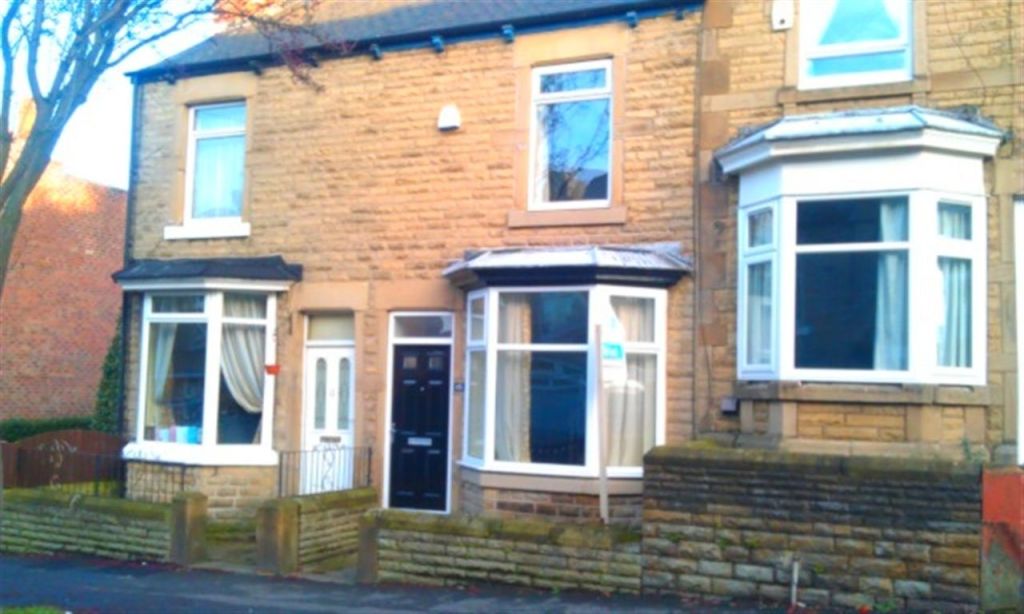
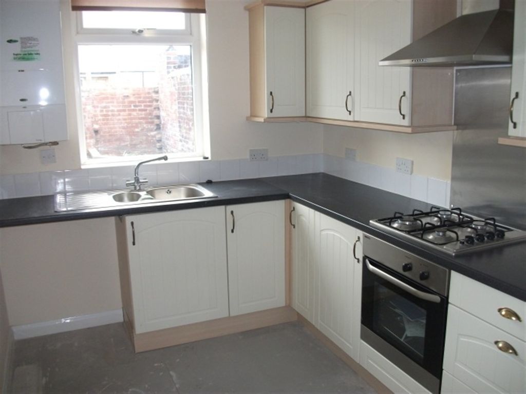
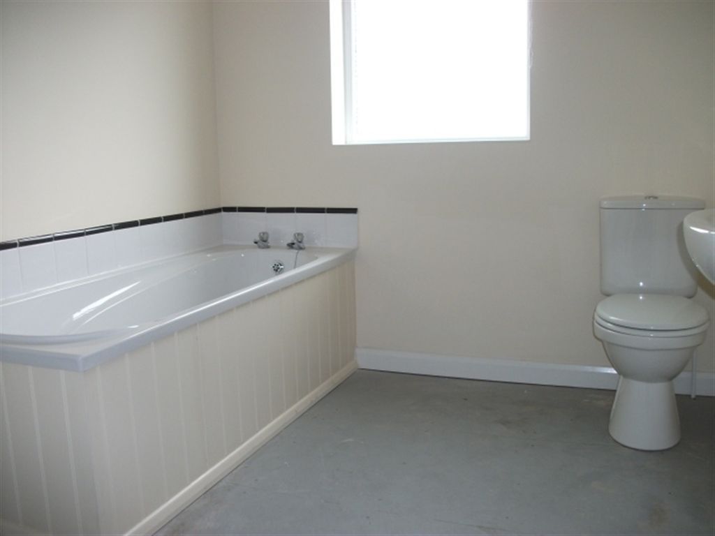
Photo 1 Photo 2 Photo 3 Photo 4 Photo 5 Photo 6
/ 6
Property details
Floor area
74 m²
EPC rating
C
Year built
England and Wales: 1900-1929
Deprivation
Decile 3 (8,389 of 33,755)
Street crime
130 incidents within 1 mile (Mar 2026)
Description
Listed by
Parkgate
Crucible Homes Ltd
Reference: 20552655
EPC Rating & Upgrade Cost
Current rating: C
Potential rating: B
Inspection date: 26/03/2026
Current heating cost: £662/year
Potential heating cost: £505/year
Est. upgrade cost to C: £18,250
Recommendations
- 50 mm internal or external wall insulation (£7,500 - £11,000)
- Solar photovoltaic panels, 2.5 kWp (£8,000 - £10,000)
Flood risk
Zone: 1
Risk: Low
Job (default Low)
Rental Range
Estimated market rent for Rotherham. Low = conservative, Realistic = average, Optimistic = best case.
Based on Local Authority from postcode lookup → Rotherham.
LHA (30th percentile) floor for Barnsley: £449/mo (Apr 2025 – Mar 2026)
Location
Nearby
Nearest stations, universities and amenities (distance from property).
| Type | Name | Distance |
|---|---|---|
| Bus stop | Doncaster Road/Sandymount Road | 0.1 miles |
| Shop | Asda | 0.4 miles |
| Shop | Wath Plaza | 0.5 miles |
| Hospital | Wathwood Hospital | 0.9 miles |
| Train station | Swinton (South Yorkshire) | 1.6 miles |
| Train station | Bolton-upon-Dearne | 1.6 miles |
| Hospital | Montagu Hospital | 2.0 miles |
| University | The University of Sheffield AMRC | 8.1 miles |
| University | Sheffield Hallam University | 9.8 miles |
Street-level crime
| Category | Count |
|---|---|
| Violence and sexual offences | 54 |
| Anti-social behaviour | 27 |
| Vehicle crime | 10 |
| Criminal damage and arson | 9 |
| Other theft | 8 |
| Public order | 8 |
| Shoplifting | 5 |
| Other crime | 4 |
| Burglary | 2 |
| Drugs | 2 |
| Possession of weapons | 1 |
| Total incidents | 130 |
Within 1 mile during Mar 2026. Source: data.police.uk (England & Wales).
Schools nearby
Nearest open schools with Ofsted ratings (England). Closed schools are not shown. Data from Get Information about Schools and Ofsted.
| Name | Type | Distance | Ofsted |
|---|---|---|---|
| Wath Victoria Primary School | Primary | 0.1 miles | Good — 28 Jun 2016 |
| Wath Academy | Secondary | 0.4 miles | Good — 26 Sep 2023 |
| Our Lady and St Joseph's Catholic Primary School | Primary | 0.5 miles | Good — 12 Jan 2015 |
| Wath Central Primary School | Primary | 0.5 miles | Good — 20 Jun 2022 |
| Saint Pius X Catholic High School A Specialist School in Humanities | Secondary | 0.6 miles | Requires improvement — 9 Jun 2024 |
Rental Comparables
Rental listings exist nearby, but none matched the 2-bedroom count for this property.