Hempstalls Lane
Newcastle, ST5, ST5 9NR
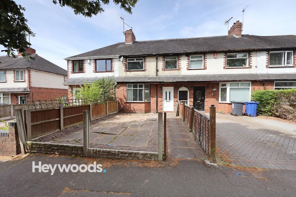
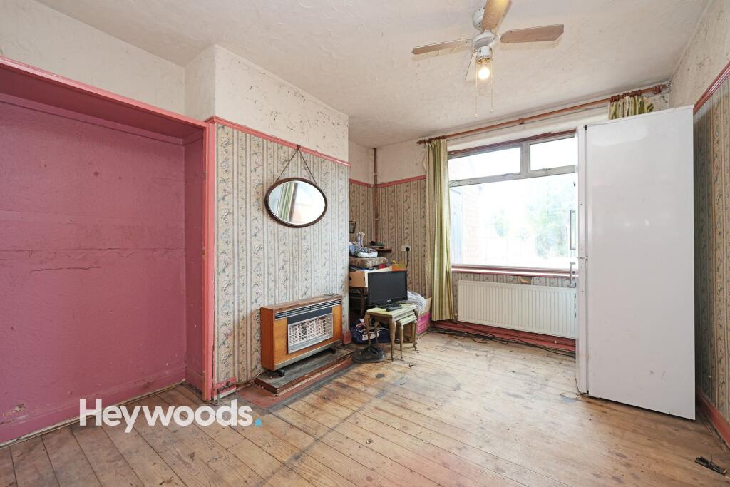
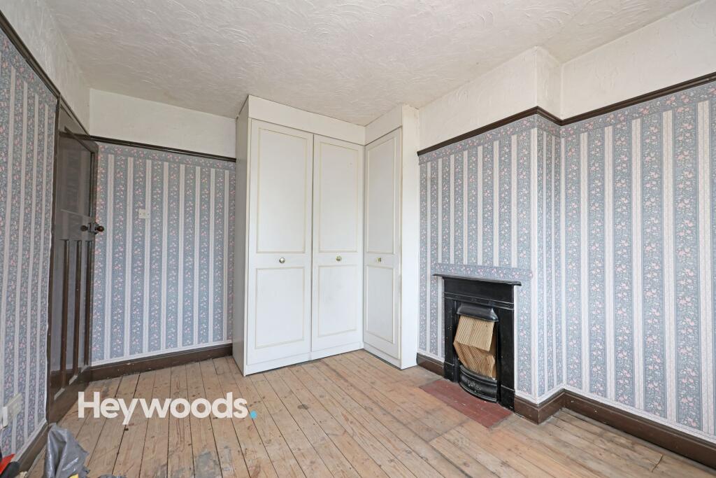
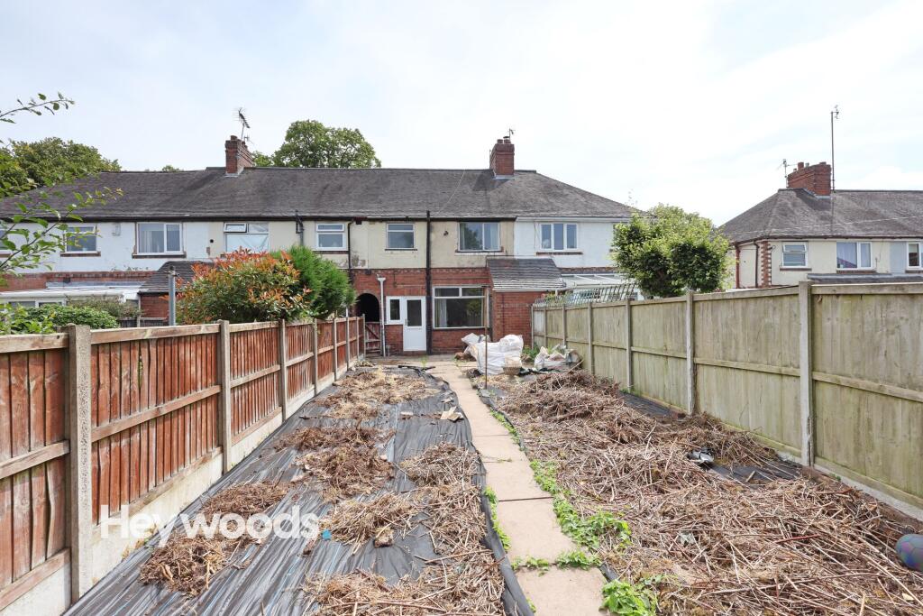
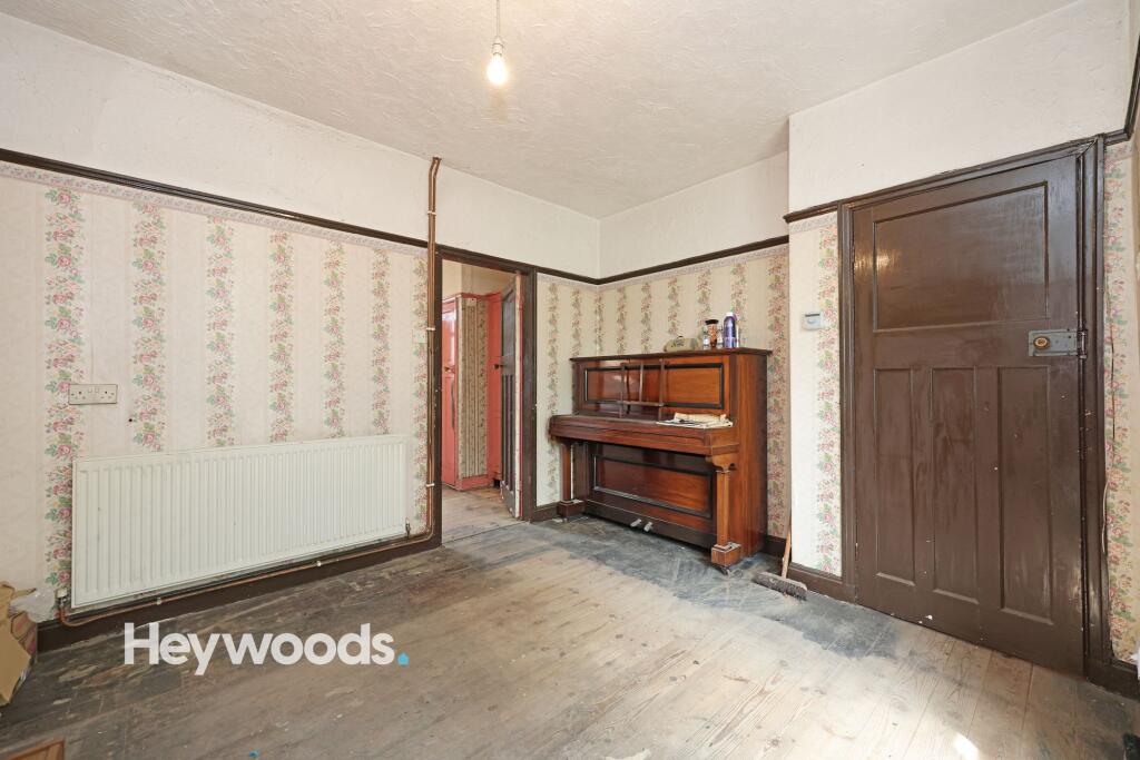
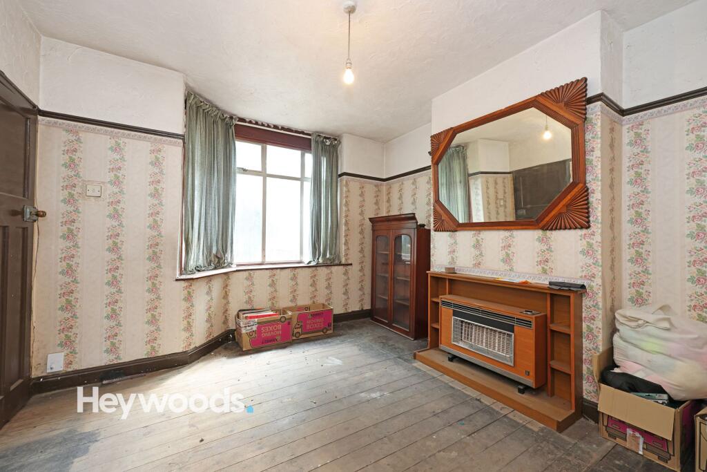
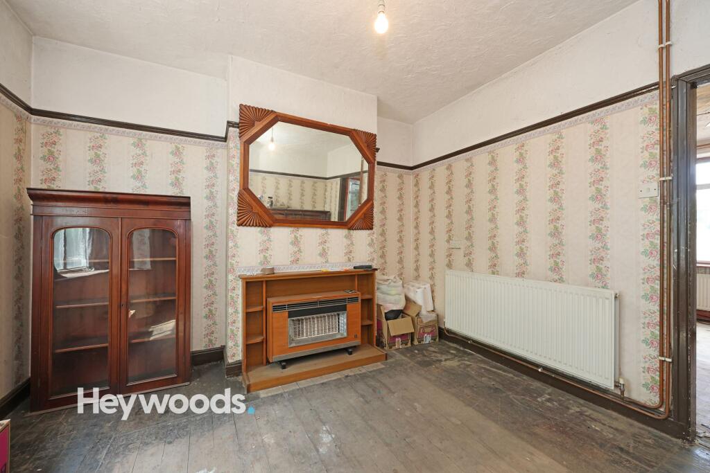
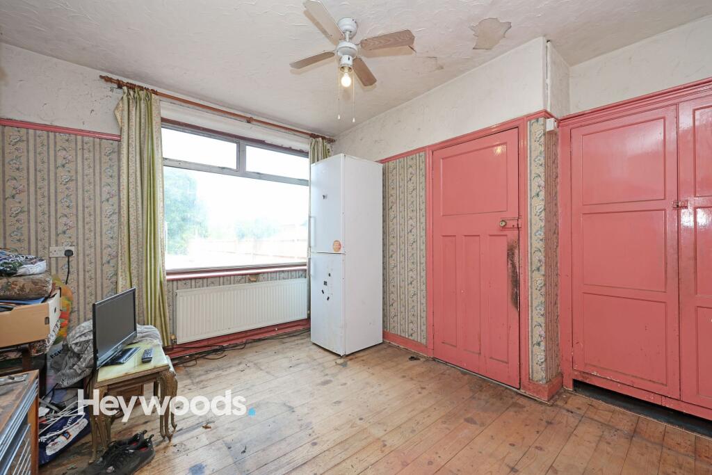
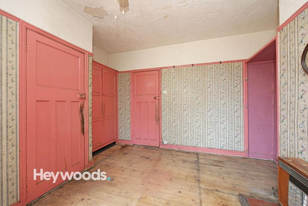
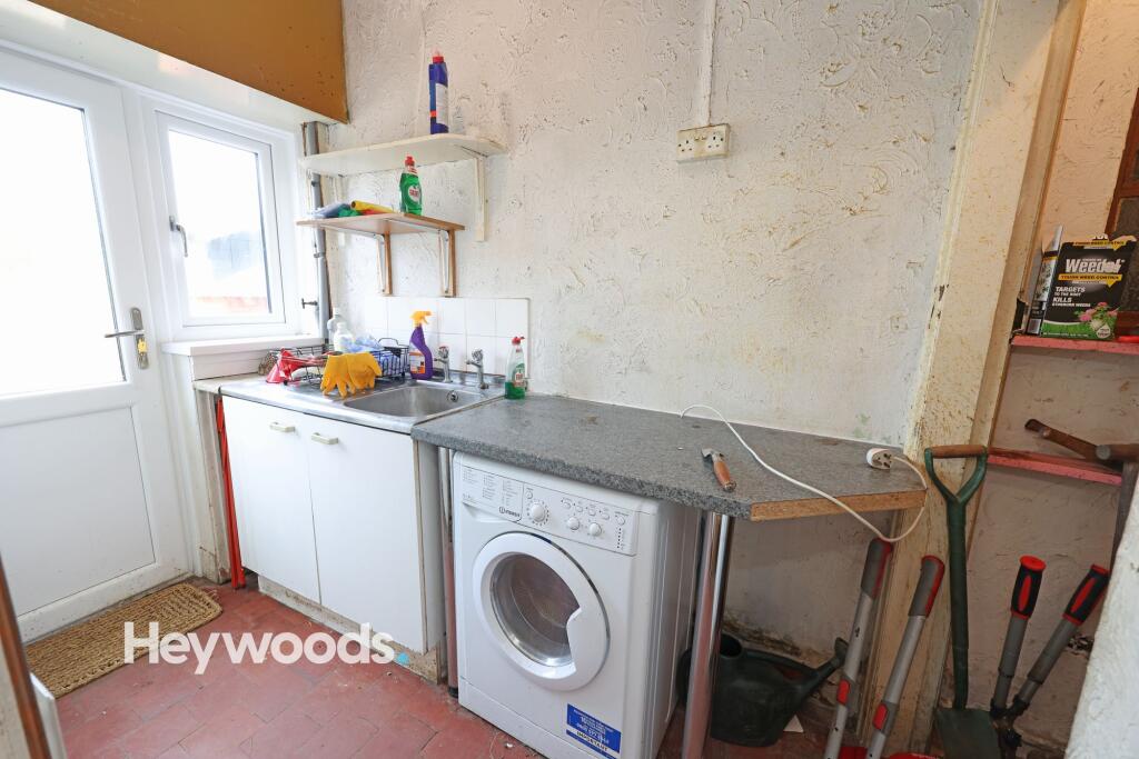
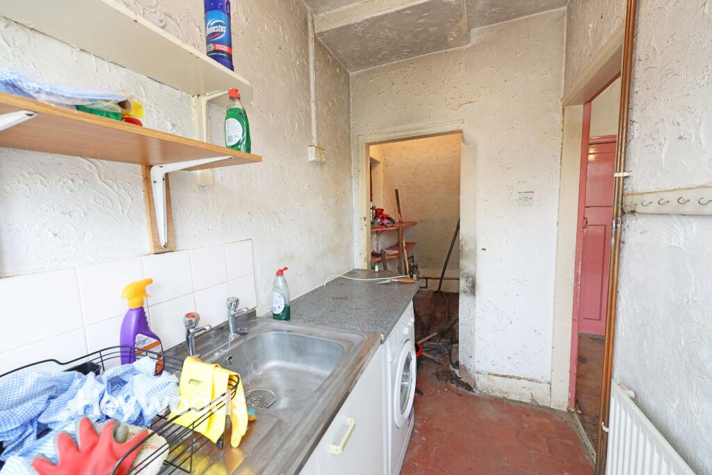
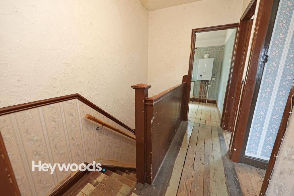
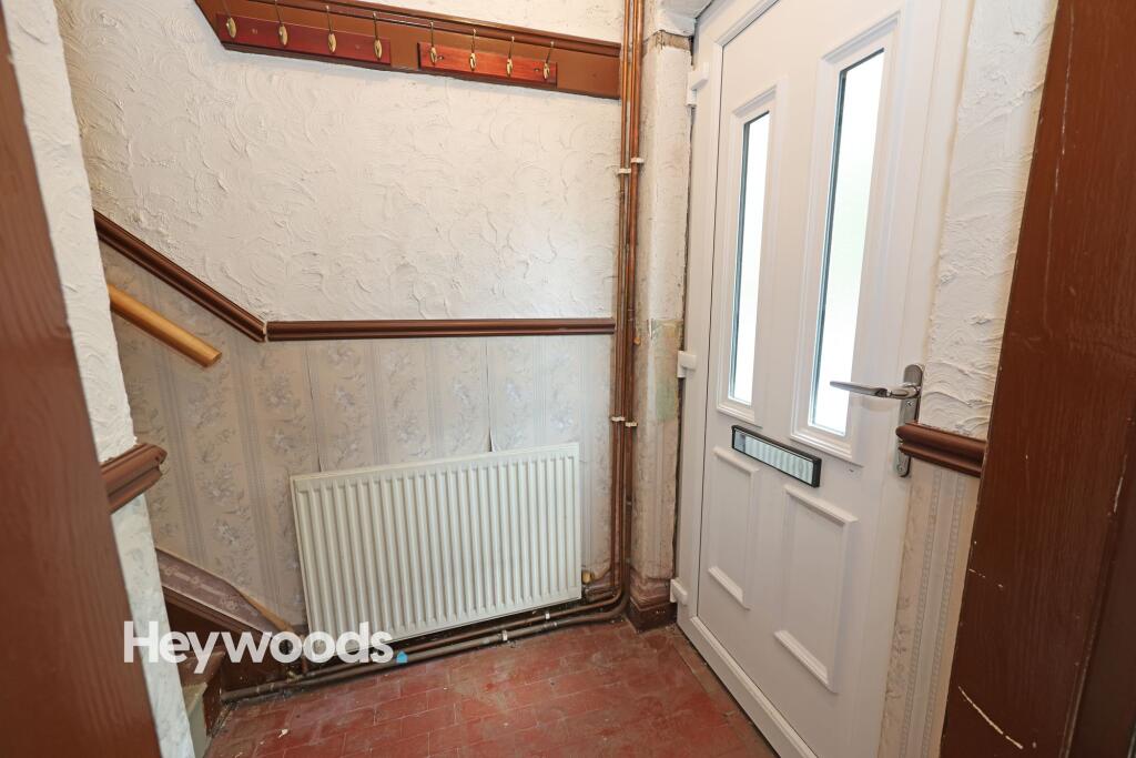
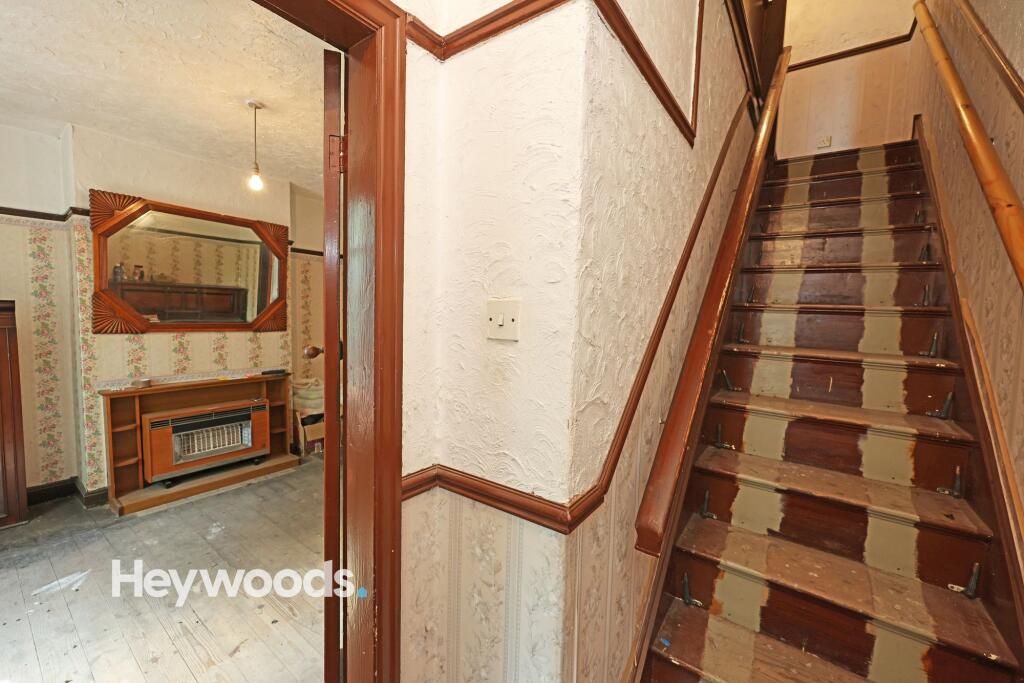
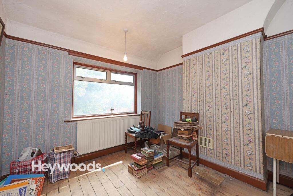
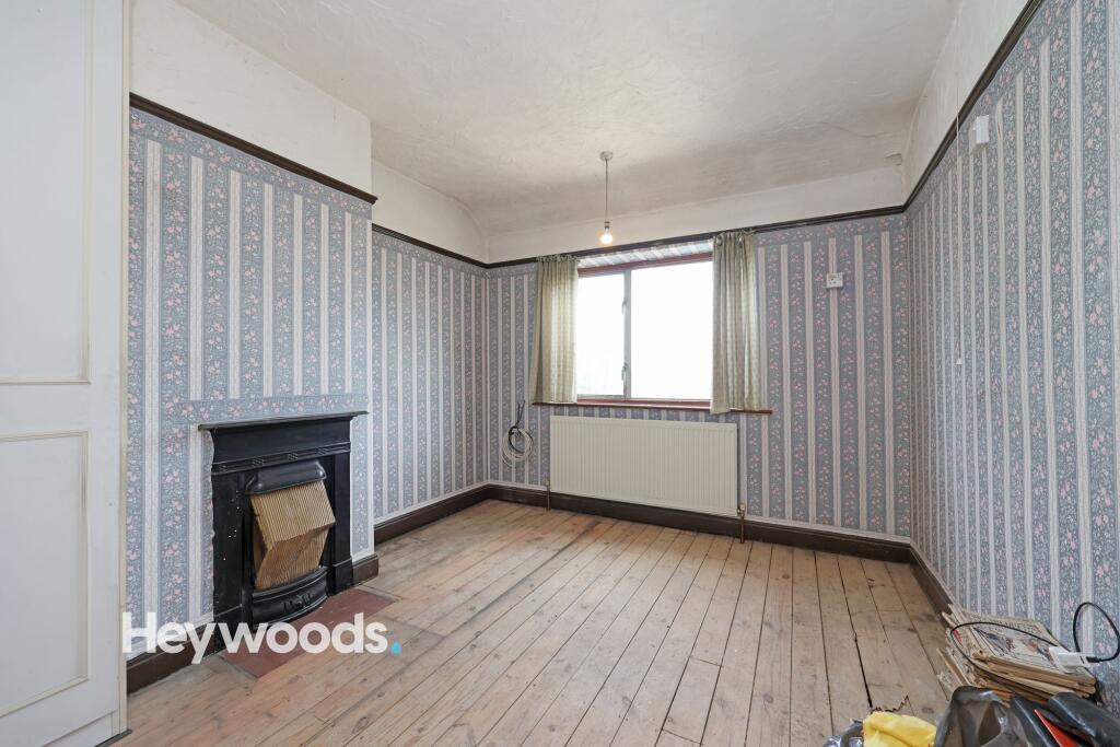
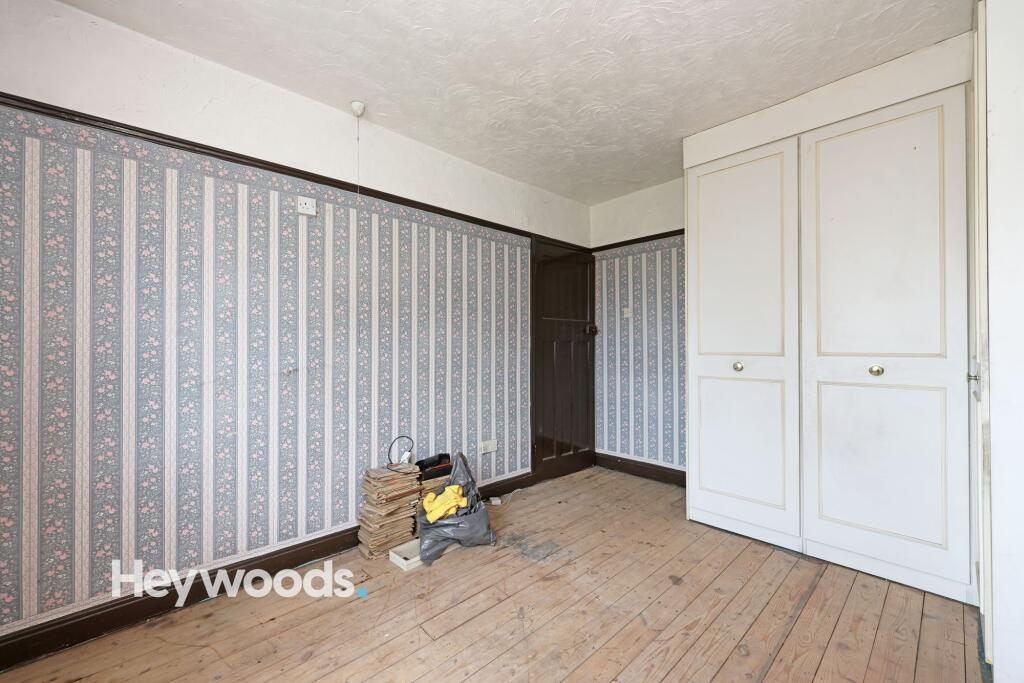
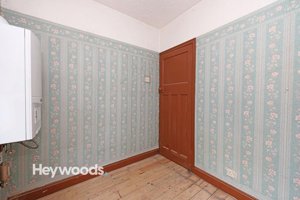
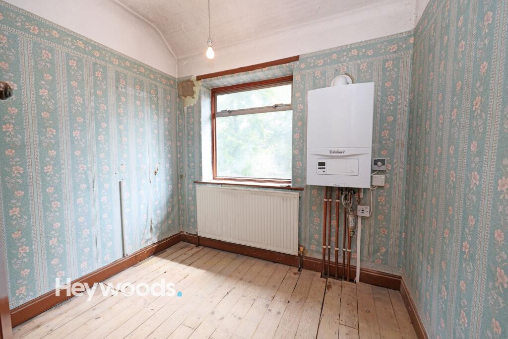
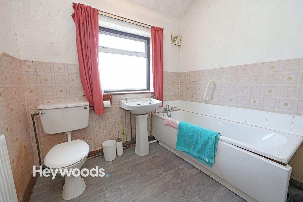
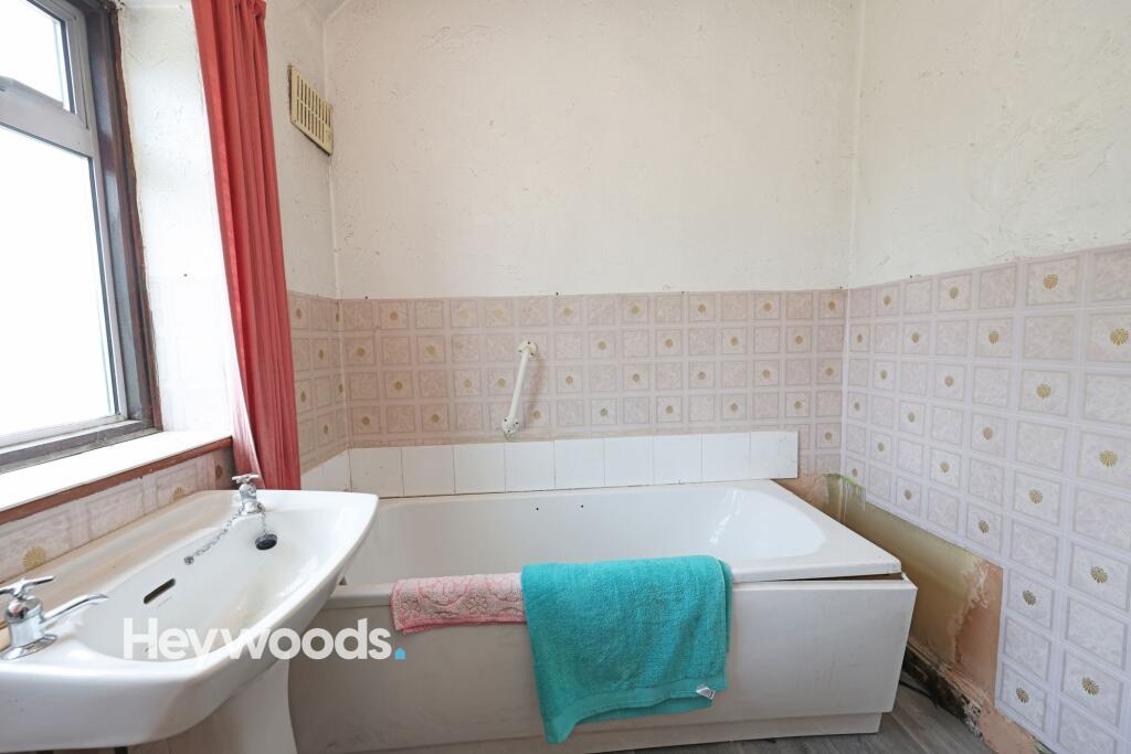
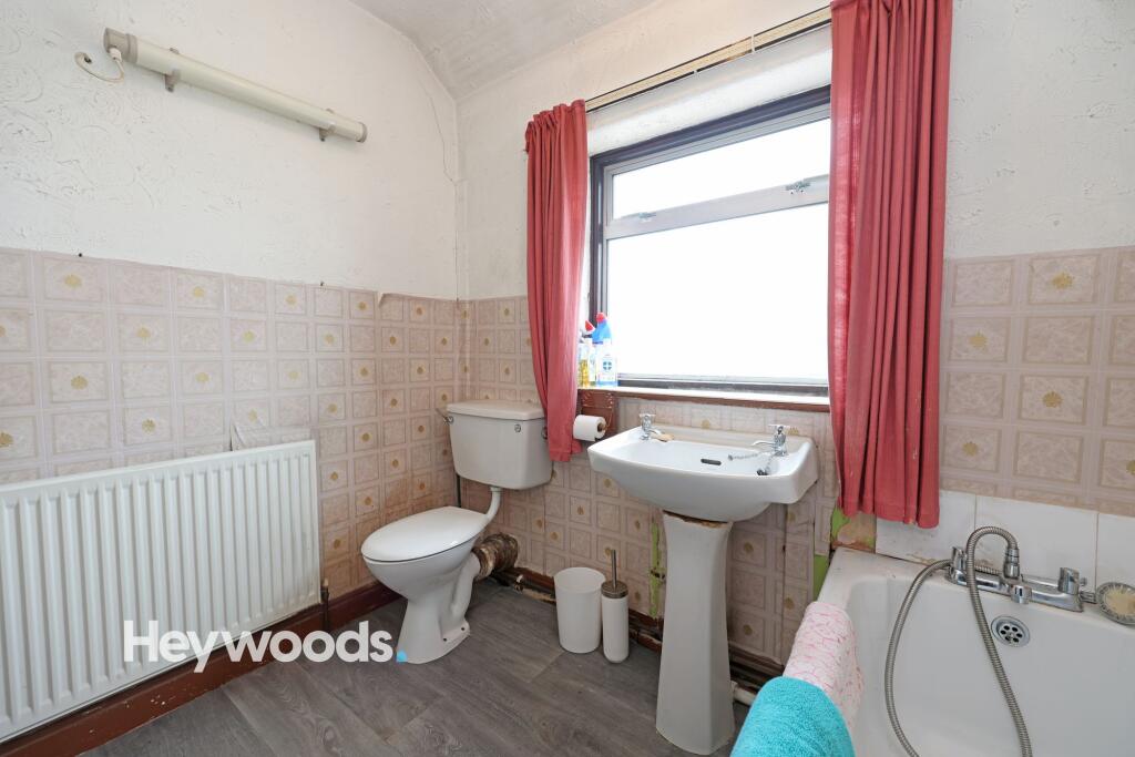
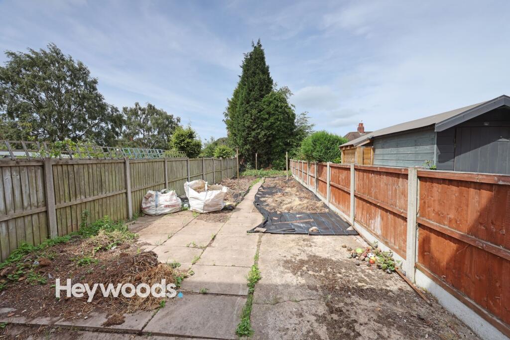
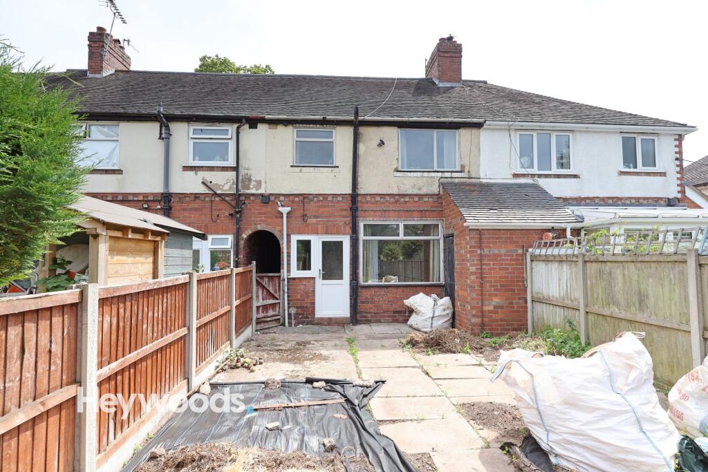
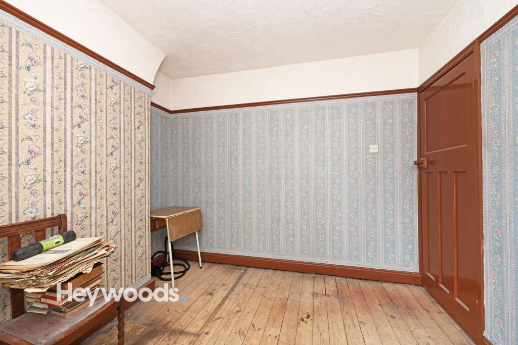
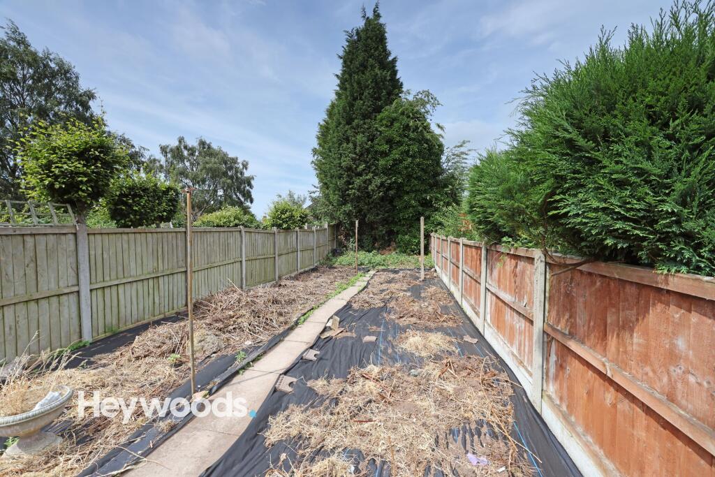
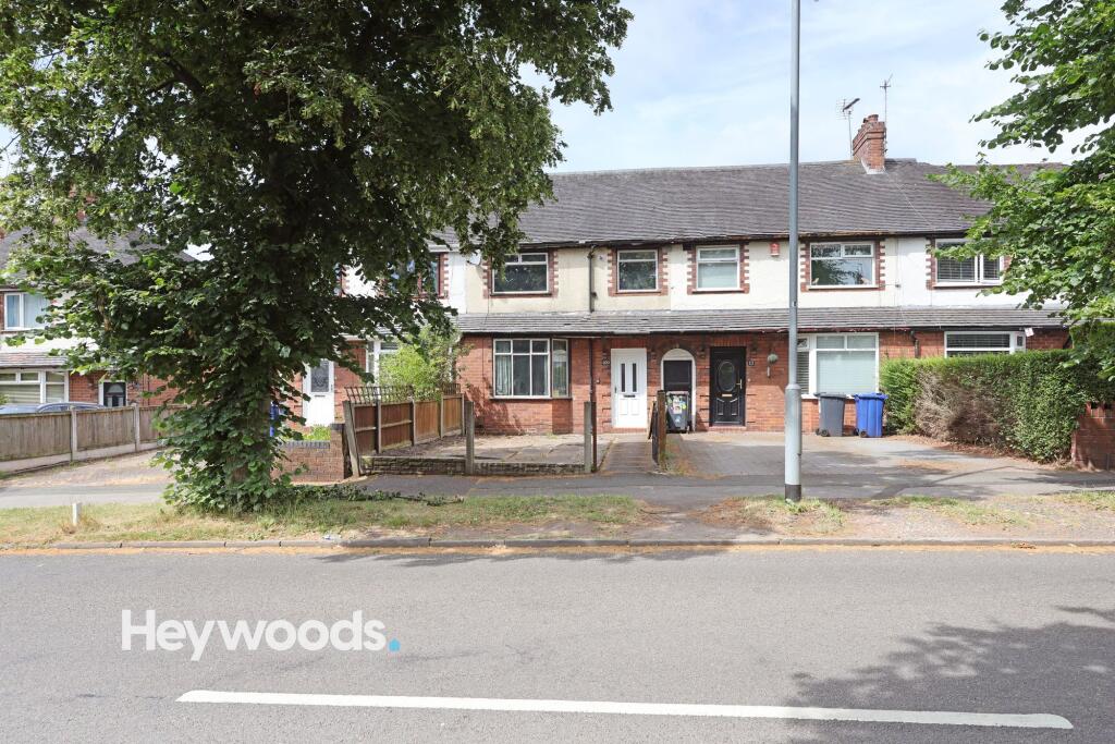
Photo 1 Photo 2 Photo 3 Photo 4 Photo 5 Photo 6 Photo 7 Photo 8 Photo 9 Photo 10 Photo 11 Photo 12 Photo 13 Photo 14 Photo 15 Photo 16 Photo 17 Photo 18 Photo 19 Photo 20 Photo 21 Photo 22 Photo 23 Photo 24 Photo 25 Photo 26 Photo 27
/ 27
Property details
Tenure
FREEHOLD
Council tax band
B
Local average
£142,194 (-22.6%)
Deprivation
Decile 9 (27,753 of 33,755)
Street crime
342 incidents within 1 mile (May 2026)
Key features
- Three bedroom mid-townhouse
- No upward chain
- In need of modernisation throughout
- Potential off road parking (STPP)
- Generous garden to rear
Additional details
- Electricity
- Mains supply
- Broadband
- None
- Water
- Mains supply
- Sewerage
- Mains supply
- Heating
- Gas central
- Parking
- Yes
- Garden
- Rear garden
- Listed property
- No
- Restrictions
- No
- Required access
- No
- Rights of way
- No
- Flooded in last 5 years
- No
- Flood defences
- No
Description
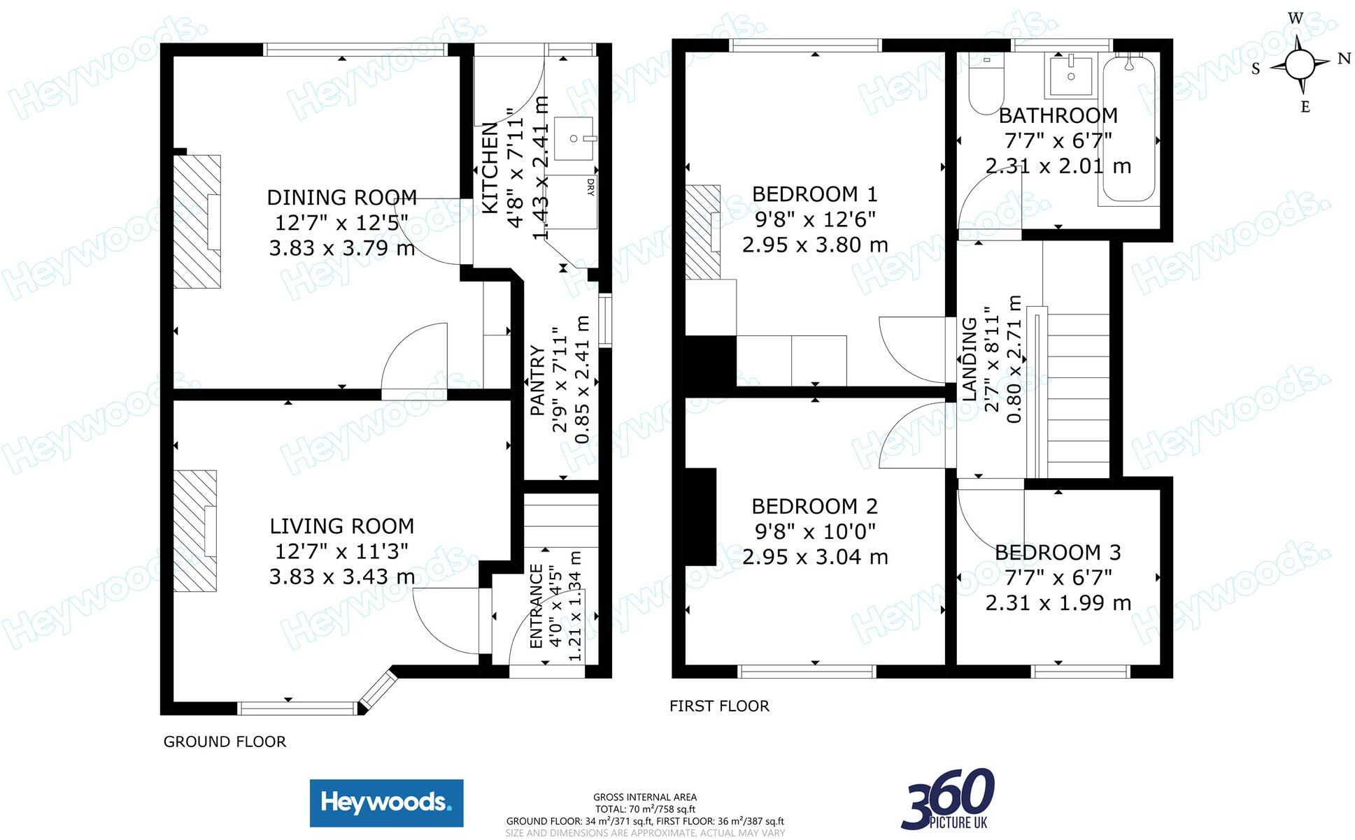
The ground floor provides two spacious reception rooms, both benefiting from large windows that allow plenty of natural light to flow through the property. Original wooden flooring, decorative fireplaces and traditional detailing add warmth and character, while the entrance hallway features wall mouldings, practical coat storage and a recently fitted front door.
Further accommodation includes a useful utility room with direct access to the rear garden, together with additional shelving, storage and a sink. The family bathroom is fitted with a full-size bath and pedestal wash basin, with natural light creating a bright and practical space.
Externally, the property enjoys a substantial enclosed rear garden bordered by mature trees and fencing, providing a good degree of privacy. The garden includes a paved patio area, a useful storage shed and ample space for landscaping, outdoor seating or play areas. A small front garden and off-road parking provide further convenience.
With generous living accommodation, period character, a large private garden and considerable scope for improvement, this property represents an excellent opportunity for buyers looking to create a home tailored to their own tastes and requirements.
Listed by
Newcastle-under-Lyme
Heywoods
Reference: 90742575
EPC ratings on this postcode
We don't have a matched EPC for this property yet. Below are efficiency scores and details for other addresses on this postcode.
| Address | Current | Potential | Floor area | Age band | Type |
|---|---|---|---|---|---|
| 101, Hempstalls Lane, NEWCASTLE | 43 | 84 | 76 m² | England and Wales: 1930-1949 | Terraced |
| 105, Hempstalls Lane, NEWCASTLE | 67 | 82 | 72 m² | England and Wales: 1930-1949 | Terraced |
| 107, Hempstalls Lane, NEWCASTLE | 53 | 83 | 71 m² | England and Wales: 1950-1966 | Detached |
| 109 Hempstalls Lane, NEWCASTLE | 68 | 77 | 68 m² | England and Wales: 1930-1949 | Terraced |
| 111, Hempstalls Lane, NEWCASTLE | 68 | 87 | 73 m² | England and Wales: 1930-1949 | Terraced |
| 113, Hempstalls Lane, NEWCASTLE | 65 | 82 | 110 m² | England and Wales: 1930-1949 | Terraced |
| 115, Hempstalls Lane, NEWCASTLE | 68 | 80 | 95 m² | England and Wales: 1930-1949 | Detached |
| 115, Hempstalls Lane, NEWCASTLE | 69 | 81 | 103 m² | England and Wales: 1930-1949 | Detached |
| 115, Hempstalls Lane, NEWCASTLE | 71 | 82 | 110 m² | England and Wales: 1930-1949 | Detached |
| 119, Hempstalls Lane, NEWCASTLE | 64 | 83 | 103 m² | England and Wales: 1930-1949 | Detached |
| 121 HEMPSTALLS LANE, NEWCASTLE UNDER LYME, NEWCASTLE UNDER LYME | 70 | 82 | 103 m² | England and Wales: 1930-1949 | Detached |
| 125, Hempstalls Lane, NEWCASTLE | 66 | 81 | 101 m² | — | Detached |
| 126, Hempstalls Lane, NEWCASTLE | 64 | 79 | 84 m² | England and Wales: 1930-1949 | Detached |
| 132, Hempstalls Lane, NEWCASTLE | 62 | 64 | 100 m² | England and Wales: 1930-1949 | Detached |
| 132, Hempstalls Lane, NEWCASTLE | 58 | 62 | 86 m² | England and Wales: 1930-1949 | Detached |
Flood risk
Zone: 1
Risk: Low
Job (default Low)
Floorplans
All
Price history
| Event | Date | Price | % change |
|---|---|---|---|
| Listed for sale | — | £110,000 | — |
Source: HM Land Registry Price Paid Data. Crown copyright.
Sold Comparables
Same street and nearby sales within 0.25 miles (last 5 years). Data from Land Registry Price Paid.
| Address | Price | Date | Type |
|---|---|---|---|
| 14 COLLARD AVENUE, NEWCASTLE, NEWCASTLE-UNDER-LYME, STAFFORDSHIRE, ST5 9LH | £170,000 | 11/07/2025 | Terraced |
| Same street 134 HEMPSTALLS LANE, NEWCASTLE, NEWCASTLE-UNDER-LYME, STAFFORDSHIRE, ST5 9NR | £190,000 | 26/02/2025 | Detached |
| 63 ST MICHAELS ROAD, NEWCASTLE, NEWCASTLE-UNDER-LYME, STAFFORDSHIRE, ST5 9LP | £138,000 | 01/12/2023 | Terraced |
| 196 HEMPSTALLS LANE, NEWCASTLE, NEWCASTLE-UNDER-LYME, STAFFORDSHIRE, ST5 9NZ | £136,500 | 11/09/2023 | Terraced |
| 9 BEECH GROVE, NEWCASTLE, NEWCASTLE-UNDER-LYME, STAFFORDSHIRE, ST5 9NN | £191,000 | 28/07/2023 | Terraced |
| 8 BEECH GROVE, NEWCASTLE, NEWCASTLE-UNDER-LYME, STAFFORDSHIRE, ST5 9NN | £260,000 | 23/06/2023 | Terraced |
| 64 ST MICHAELS ROAD, NEWCASTLE, NEWCASTLE-UNDER-LYME, STAFFORDSHIRE, ST5 9LR | £132,000 | 12/05/2023 | Terraced |
| 10 HEMPSTALLS GROVE, NEWCASTLE, NEWCASTLE-UNDER-LYME, STAFFORDSHIRE, ST5 9NS | £175,000 | 12/05/2023 | Terraced |
| 8 LYME GROVE, NEWCASTLE, NEWCASTLE-UNDER-LYME, STAFFORDSHIRE, ST5 9NT | £165,000 | 06/04/2023 | Terraced |
| 3 MAUREEN GROVE, NEWCASTLE, NEWCASTLE-UNDER-LYME, STAFFORDSHIRE, ST5 9NW | £160,000 | 10/10/2022 | Terraced |
| 7 MARINA DRIVE, NEWCASTLE, NEWCASTLE-UNDER-LYME, STAFFORDSHIRE, ST5 9NL | £285,000 | 07/10/2022 | Terraced |
| 32 HEMPSTALLS GROVE, NEWCASTLE, NEWCASTLE-UNDER-LYME, STAFFORDSHIRE, ST5 9NS | £160,000 | 03/10/2022 | Terraced |
| 34 HEMPSTALLS GROVE, NEWCASTLE, NEWCASTLE-UNDER-LYME, STAFFORDSHIRE, ST5 9NS | £136,000 | 29/09/2022 | Terraced |
| 27 HEATH AVENUE, NEWCASTLE, NEWCASTLE-UNDER-LYME, STAFFORDSHIRE, ST5 9NP | £265,000 | 29/07/2022 | Terraced |
| 198 HEMPSTALLS LANE, NEWCASTLE, NEWCASTLE-UNDER-LYME, STAFFORDSHIRE, ST5 9NZ | £135,000 | 28/01/2022 | Terraced |
| 1 BEECH GROVE, NEWCASTLE, NEWCASTLE-UNDER-LYME, STAFFORDSHIRE, ST5 9NN | £130,000 | 21/01/2022 | Terraced |
| 24 COLLARD AVENUE, NEWCASTLE, NEWCASTLE-UNDER-LYME, STAFFORDSHIRE, ST5 9LH | £144,000 | 17/01/2022 | Terraced |
| 32 HEMPSTALLS GROVE, NEWCASTLE, NEWCASTLE-UNDER-LYME, STAFFORDSHIRE, ST5 9NS | £115,000 | 13/01/2022 | Terraced |
| 24 MARINA DRIVE, NEWCASTLE, NEWCASTLE-UNDER-LYME, STAFFORDSHIRE, ST5 9NL | £150,000 | 07/01/2022 | Terraced |
| 5 BEECH GROVE, NEWCASTLE, NEWCASTLE-UNDER-LYME, STAFFORDSHIRE, ST5 9NN | £141,000 | 10/12/2021 | Terraced |
| 3 ST MICHAELS ROAD, NEWCASTLE, NEWCASTLE-UNDER-LYME, STAFFORDSHIRE, ST5 9LN | £135,000 | 09/09/2021 | Terraced |
Street average: £190,000 (1 sale)
Area average: £166,175 (20 sales)
Capital growth trend
Land Registry outcode average: last 12 months vs 5y and 10y ago (from sold prices).
House Price Index (HM Land Registry — official index, not sold-price averages): Newcastle-under-Lyme. Series: Terraced. As of April 2026.
Rental Range
Estimated market rent for Newcastle-under-Lyme. Low = conservative, Realistic = average, Optimistic = best case.
Based on Local Authority from postcode lookup → Newcastle-under-Lyme.
LHA (30th percentile) floor for Staffordshire North: £593/mo (Apr 2025 – Mar 2026)
Location
Address
Hempstalls Lane
Nearby
Nearest stations, universities and amenities (distance from property).
| Type | Name | Distance |
|---|---|---|
| Bus stop | Heath Place | 0.0 miles |
| Shop | Betd | 0.3 miles |
| Shop | Morrisons Daily | 0.5 miles |
| Train station | Longport | 1.4 miles |
| Train station | Silverdale | 1.9 miles |
| Hospital | North Staffordshire Nuffield Hospital | 2.4 miles |
| University | Keele University | 2.4 miles |
| Hospital | Haywood Hospital Walk-in Centre | 2.8 miles |
| University | University of Buckingham Crewe Campus | 9.5 miles |
Street-level crime
| Category | Count |
|---|---|
| Violence and sexual offences | 120 |
| Anti-social behaviour | 68 |
| Shoplifting | 37 |
| Public order | 26 |
| Other theft | 24 |
| Criminal damage and arson | 19 |
| Drugs | 15 |
| Burglary | 10 |
| Vehicle crime | 10 |
| Bicycle theft | 4 |
| Robbery | 4 |
| Other crime | 3 |
| Possession of weapons | 1 |
| Theft from the person | 1 |
| Total incidents | 342 |
Within 1 mile during May 2026. Source: data.police.uk (England & Wales).
Schools nearby
Nearest open schools with Ofsted ratings (England). Closed schools are not shown. Data from Get Information about Schools and Ofsted.
| Name | Type | Distance | Ofsted |
|---|---|---|---|
| Hempstalls Primary School | Primary | 0.1 miles | — (Inspected (no overall grade)) |
| Merryfields School | Other | 0.2 miles | Good — 30 Apr 2014 |
| The Orme Academy | Secondary | 0.4 miles | Good — 9 Jul 2024 |
| May Bank Infants' School | Primary | 0.4 miles | Good — 21 Jan 2024 |
| Demetae Academy | Other | 0.6 miles | Good — 30 Jun 2022 |
Rental Comparables
Residential lets from OpenRent and Rightmove for the area (same bedroom count). Use to validate rent estimates. Student lets are excluded.
Average rent: £1,094/mo (36 listings)
Rent-driven metrics
Based on OpenRent comparables.
- This street — Gross yield for this street only (Land Registry sales + rental comparables, same postcode + street).
- Rent ratio — Monthly rent ÷ purchase price (1% rule). 1%+ = strong, 0.8–1% = okay, <0.8% = weak for cashflow.
- Max investor price — Rent ÷ 0.8%; the price at which rent would be 0.8% of price (Stoke-style target).
- Target investor price — Rent ÷ 1%; the price at which rent would be 1% of price (strong cashflow band).
- Gross yield — Annual rent as % of purchase price (no costs).
- Cost-to-rent — Price ÷ annual rent (from OpenRent comparables). Under 14× = strong, 14–16× = acceptable, 17×+ = compressed.
- Cashflow — Rent minus mortgage, 10% maintenance, £25/mo compliance. Assumes 75% LTV, 3.95% APR (5yr fixed), 25yr term.
- ROI — Annual profit ÷ cash in (deposit + 4% purchase costs).
Enter House Number
Enter the house number to help us retrieve more accurate pricing history and property data.
Please log in to submit or correct the house number for this listing.
Log in to continue