FLAT 17
THE LANTERN, TAYFEN ROAD, BURY ST EDMUNDS, SUFFOLK IP33 1TB
£1,800 pcm
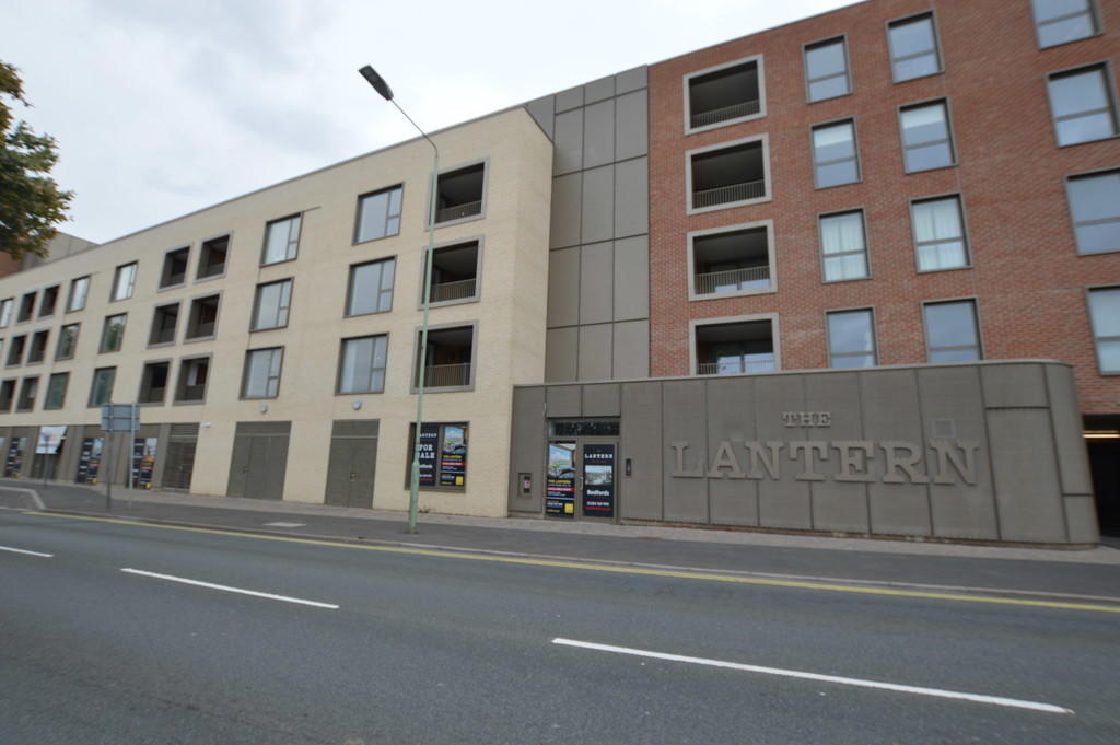
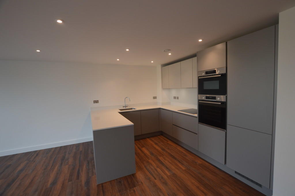
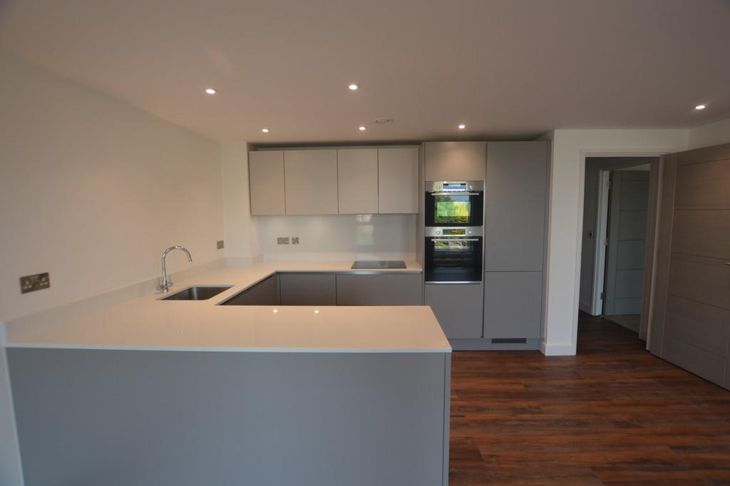
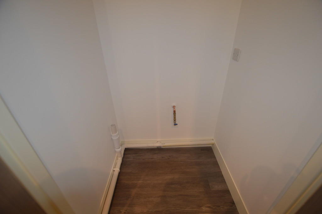
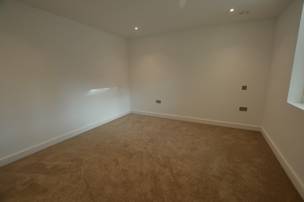
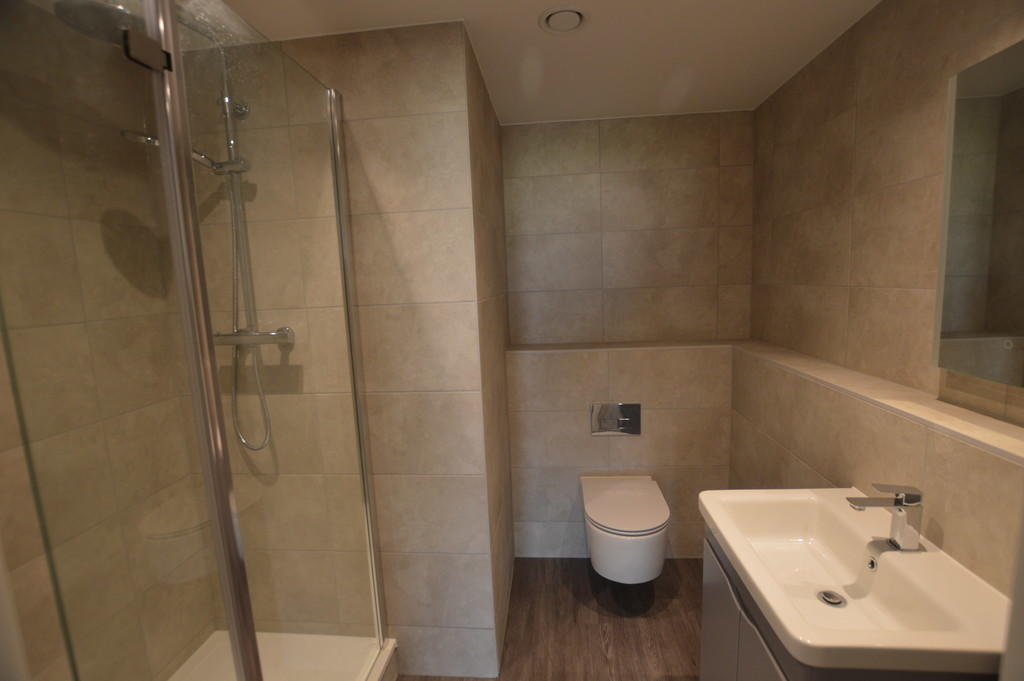
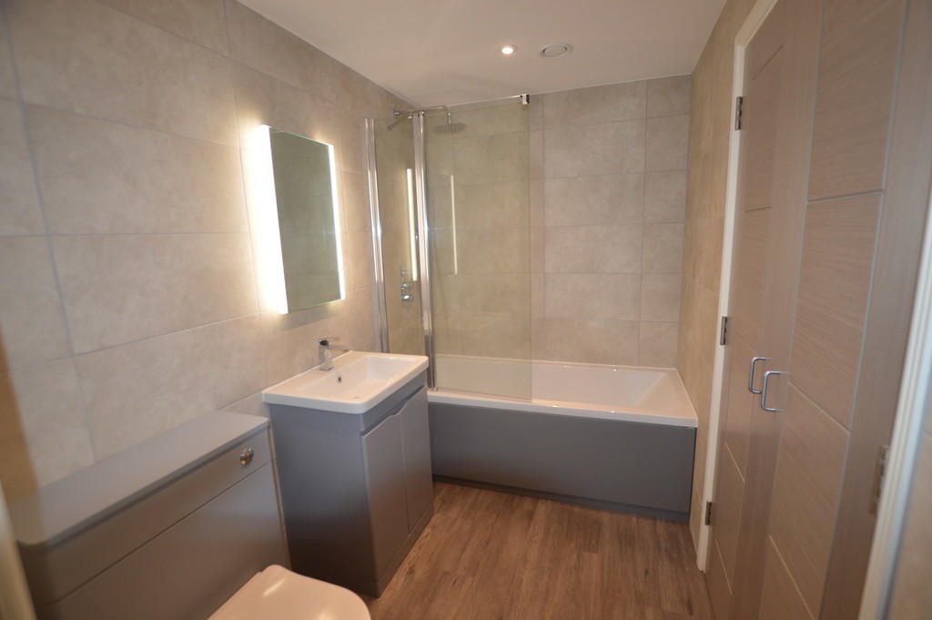
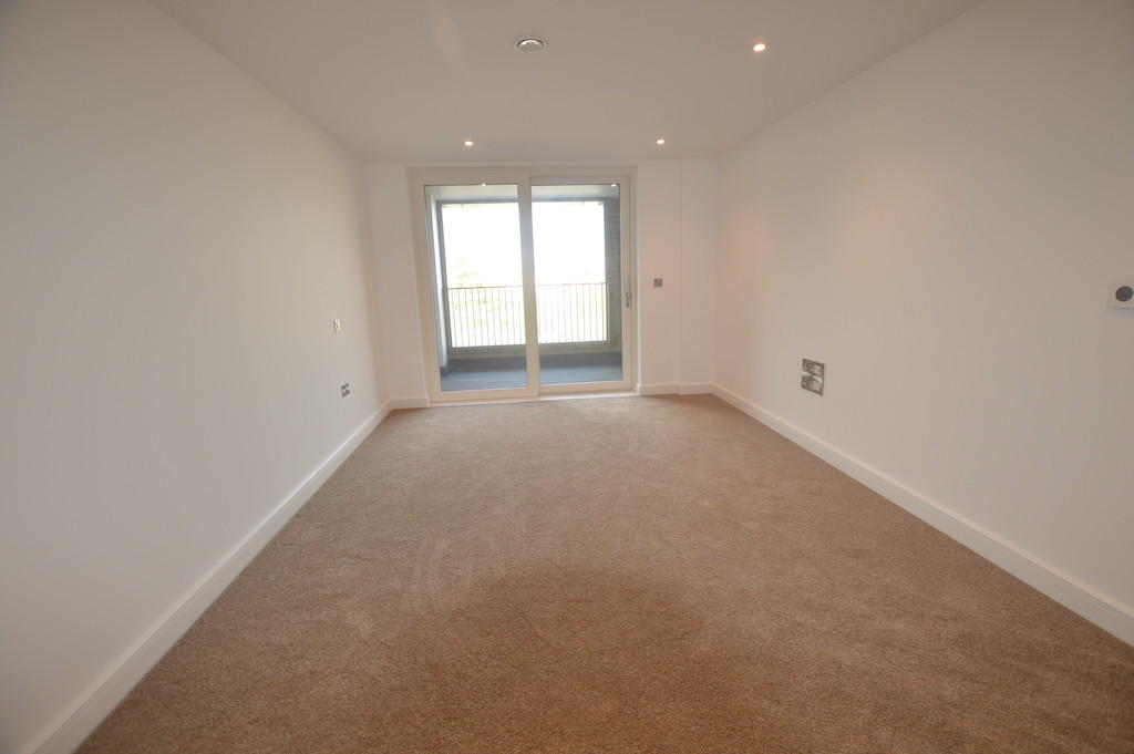
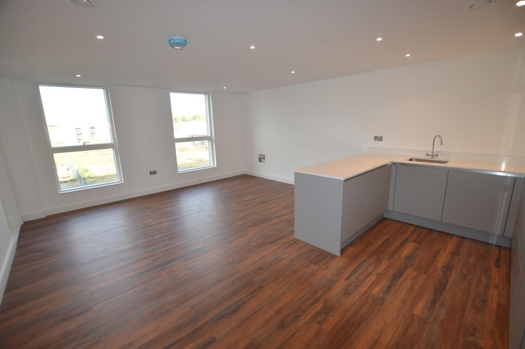
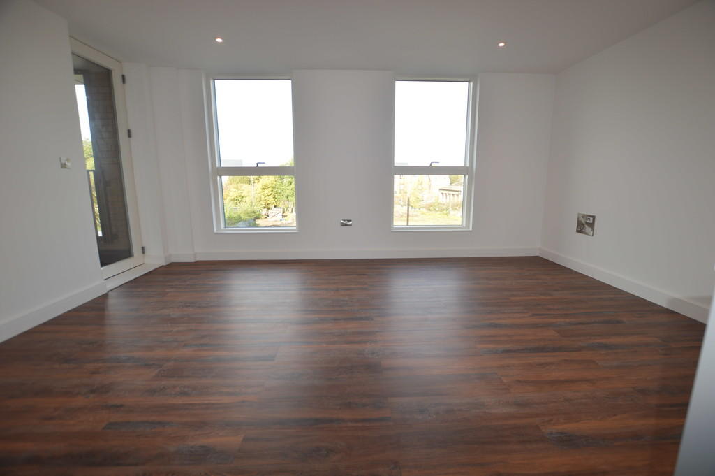
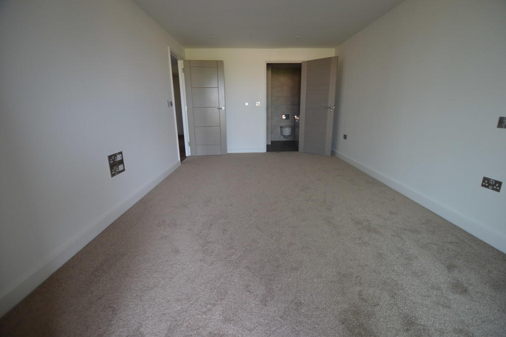
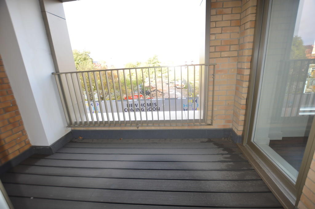
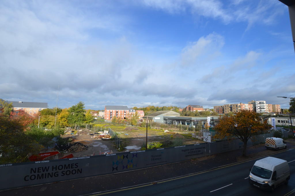
Photo 1 Photo 2 Photo 3 Photo 4 Photo 5 Photo 6 Photo 7 Photo 8 Photo 9 Photo 10 Photo 11 Photo 12 Photo 13
/ 13
Property details
Floor area
81 m²
Deprivation
Decile 8 (25,603 of 33,755)
Street crime
175 incidents within 1 mile (Apr 2026)
Key features
- Two Bedrooms
- Just off town centre
- En-suite to Master
- Bathroom
- Allocated parking
Additional details
- Parking
- Off street
Description
EPC Rating: B
Council Tax Band: C
TV points to all principal rooms
BT points to all principal rooms
Fibre-enabled
USB charger points to principal rooms
Security video entry system
Lift
HALLWAY With wood flooring. Doors leading to:-
OPEN PLAN KITCHEN/LIVING ROOM With modern gloss kitchen with Quartz worktops and upstands. Breakfast bar. Integrated Bosch oven, hob and microwave. Integrated dishwasher and fridge/freezer. Wood effect flooring.
Lounge area.
MASTER BEDROOM Carpeted. Patio doors to Balcony.
EN-SUITE With basin and double sized glass shower cubicle. Shower has a Thermostatically controlled shower. Fully tiled walls and floors. Electric mirror cabinets. Downlighters.
BEDROOM TWO Carpeted. Window to front.
BATHROOM With basin and double sized glass shower cubicle. Shower has a Thermostatically controlled shower. Fully tiled walls and floors. Electric mirror cabinets. Downlghters.
EXTERIOR ** Powder-coated aluminium triple-glazed windows.Multi-locking front and patio doors. Outside lighting to terrace. Extensive landscaped private communal garden. Under cover parking space with number plate recognition.
Listed by
Bury St. Edmunds
Tennens Properties Ltd
Reference: 128360063
EPC Rating & Upgrade Cost
Fetching EPC data… Refresh this page in a moment.
Flood risk
Zone: 1
Risk: Low
Job (default Low)
EPC Graphs
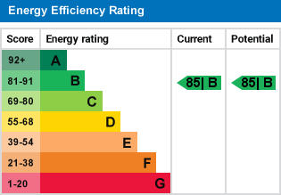
EPC 1
Company ownership
Registered legal owner is a company.
Company: K & S RESTAURANTS LIMITED (07579089)
Rental Range
Estimated market rent for West Suffolk. Low = conservative, Realistic = average, Optimistic = best case.
Based on Local Authority from postcode lookup → West Suffolk.
LHA (30th percentile) floor for Bury St Edmunds: £773/mo (Apr 2025 – Mar 2026)
Location
Address
39 Tayfen Road
Nearby
Nearest stations, universities and amenities (distance from property).
| Type | Name | Distance |
|---|---|---|
| Shop | Nisa Local | 0.0 miles |
| Shop | TJ Tanning | 0.0 miles |
| Bus stop | Tayfen Terrace | 0.1 miles |
| Train station | Bury St Edmunds | 0.2 miles |
| Hospital | St Edmunds Hospital | 0.8 miles |
| Hospital | West Suffolk Hospital | 1.4 miles |
| Train station | Thurston | 4.1 miles |
Street-level crime
| Category | Count |
|---|---|
| Violence and sexual offences | 63 |
| Shoplifting | 24 |
| Criminal damage and arson | 19 |
| Public order | 19 |
| Anti-social behaviour | 17 |
| Other theft | 10 |
| Burglary | 8 |
| Drugs | 5 |
| Bicycle theft | 2 |
| Other crime | 2 |
| Robbery | 2 |
| Vehicle crime | 2 |
| Possession of weapons | 1 |
| Theft from the person | 1 |
| Total incidents | 175 |
Within 1 mile during Apr 2026. Source: data.police.uk (England & Wales).
Schools nearby
Nearest open schools with Ofsted ratings (England). Closed schools are not shown. Data from Get Information about Schools and Ofsted.
| Name | Type | Distance | Ofsted |
|---|---|---|---|
| King Edward VI CEVC School | Secondary | 0.3 miles | Good — 28 Mar 2019 |
| St Edmundsbury CofE Primary Academy | Primary | 0.4 miles | Requires improvement — 13 May 2024 |
| West Suffolk College | Other | 0.5 miles | — (No rating) |
| Abbeygate Sixth Form College | Other | 0.6 miles | — (No rating) |
| Bury St Edmunds County High School | Secondary | 0.6 miles | Good — 15 May 2022 |
Rental Comparables
Residential lets from OpenRent and Rightmove for the area (same bedroom count). Use to validate rent estimates. Student lets are excluded.
| Title | Rent | Beds | Distance | As seen on |
|---|---|---|---|---|
| 2 Bed End Terrace, Haselmere Close, IP32 | £1,100/mo | 2 | 1.01 miles | OpenRent |
Average rent: £1,100/mo (1 listing)