54 BEECHWOOD DRIVE
CAMELFORD, CORNWALL PL32 9NB

Property details
Floor area
77 m²
Last sold
£170,000 Jun 2017
Local average
£169,071 (+3.5%)
Deprivation
Decile 4 (12,218 of 33,755)
Street crime
7 incidents within 1 mile (May 2026)
Additional details
- Parking
- Yes
- Garden
- Yes
Description
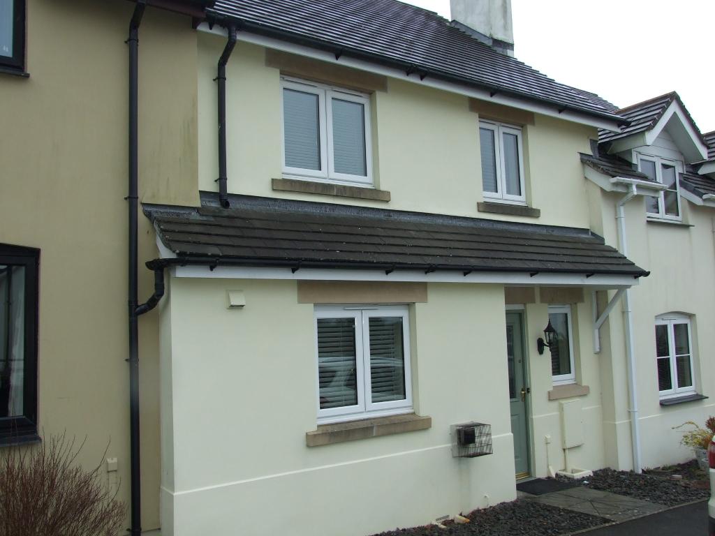
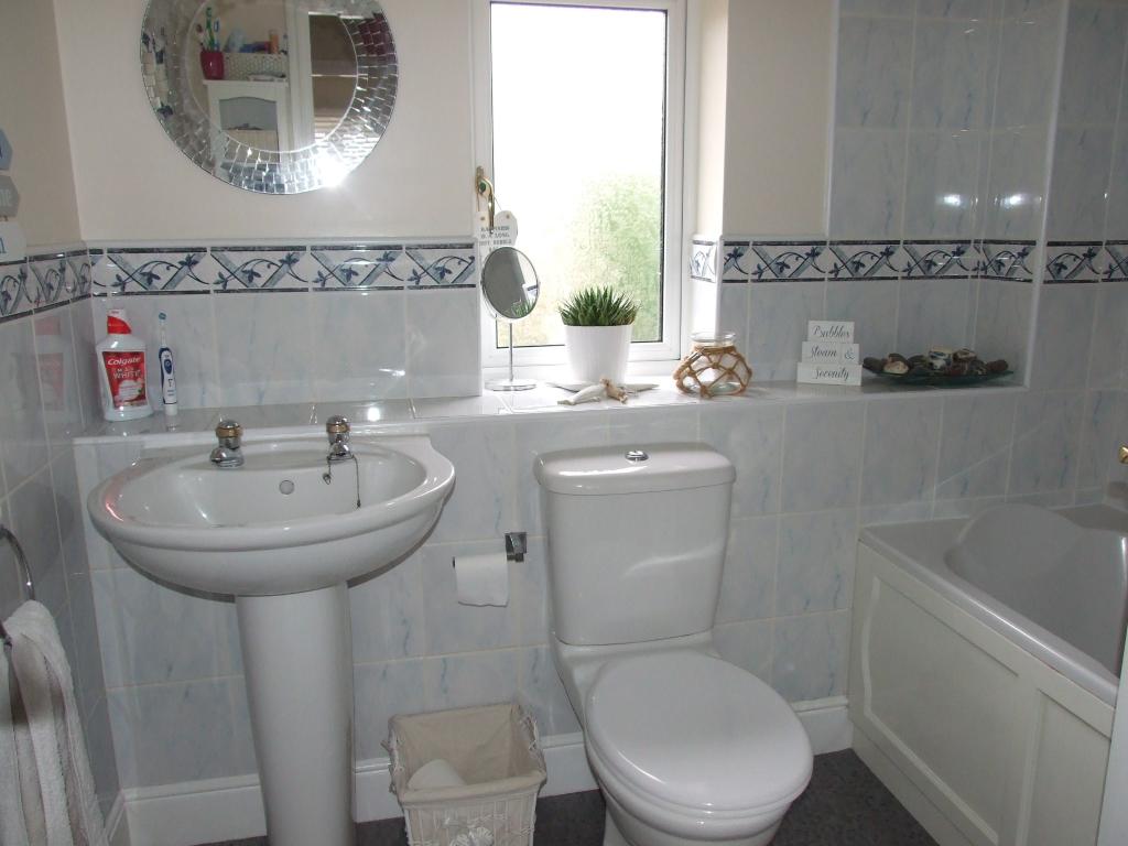
Beautifully Presented Terraced House
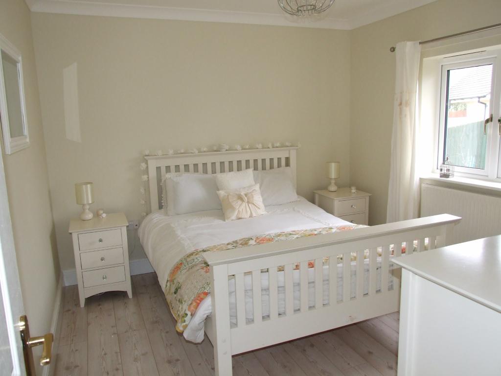
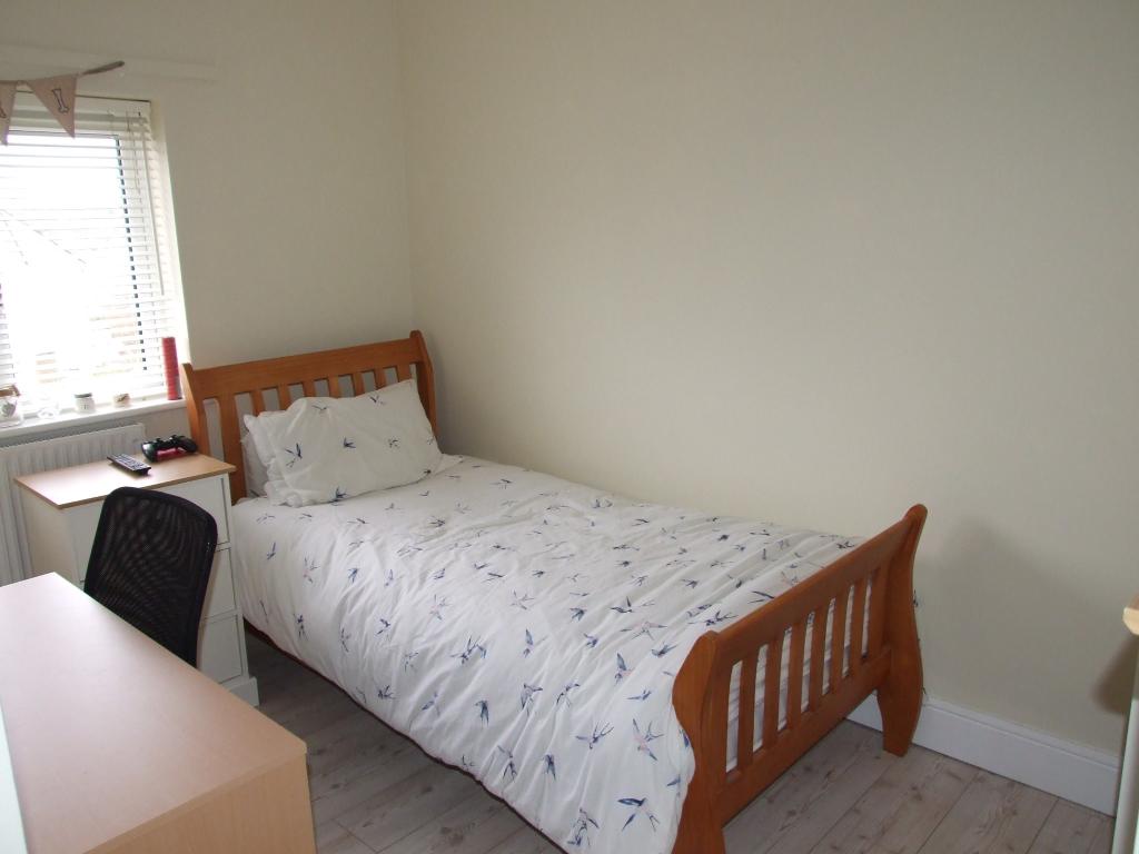
Three Bedrooms, Family Bathroom, Cloakroom
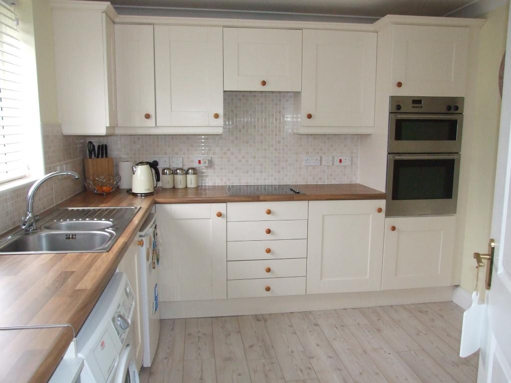
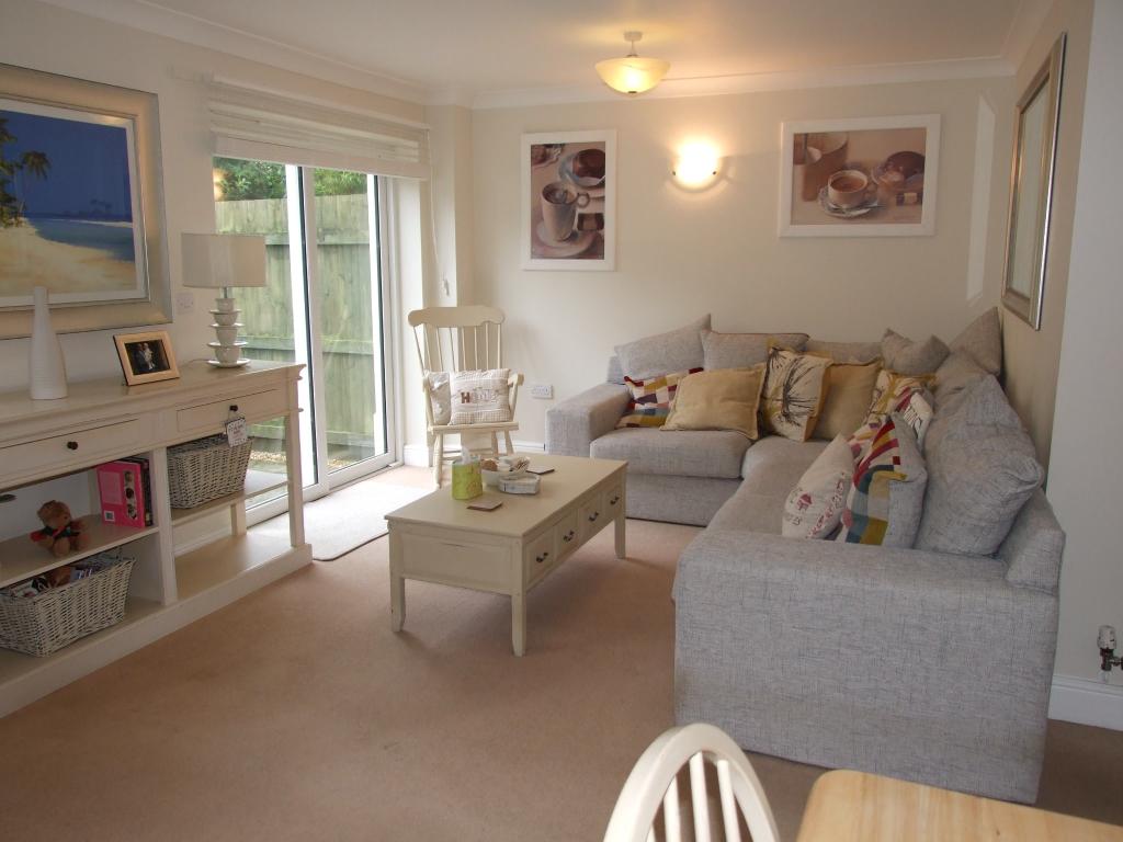
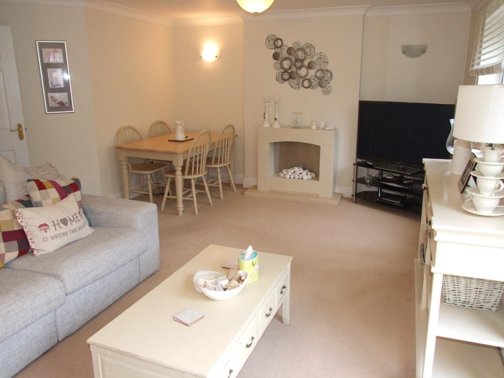
Modern fitted Kitchen and Spacious Lounge/Dining Room
Double Glazing and Oil Fired Central Heating
Landscaped Gardens and Single Garage
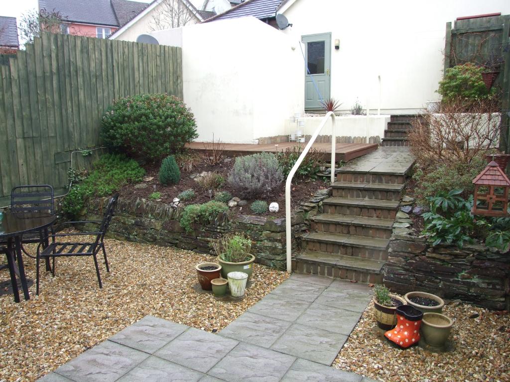
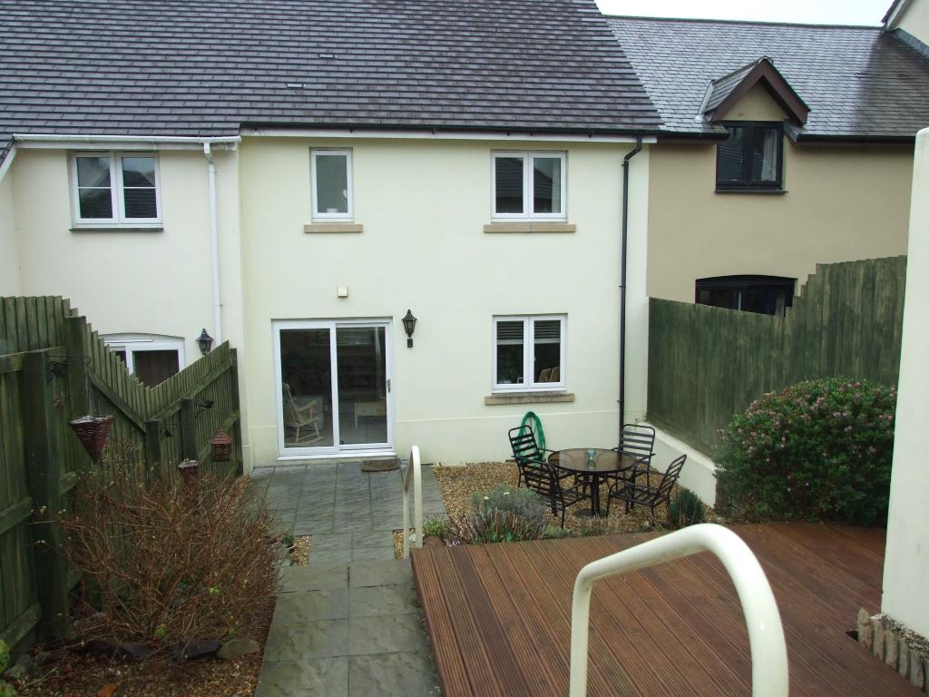
Outside x . A single garage is accessed to the rear, with up and over door, power and light. A door opens into the rear garden. The gardens comprise of small flower beds and steps descend to a gravelled seating area and small patio.
Listed by
Wadebridge
Countrywide UK Sales - Connells
Reference: 64285490
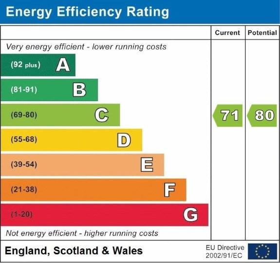
EPC Rating & Upgrade Cost
Fetching EPC data… Refresh this page in a moment.
Flood risk
Zone: 1
Risk: Low
Job (default Low)
Floorplans
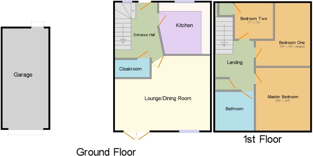
CWQuickSketch.jpg
FENSA Certificates
This property has 1 FENSA certificate(s) on record, indicating window/door installations by FENSA-approved installers.
FENSA Certificate #13906954
Property Details
Street: 54 Beechwood Drive
Town: CAMELFORD
Postcode: PL32 9NB
Installation Details
Items: 2 doors
Certificate Issued: 15/12/2019
Work Completed: 26/11/2019
This certificate data was retrieved from FENSA's database
What is FENSA? FENSA (Fenestration Self-Assessment Scheme) is a government-authorised scheme that monitors building regulation compliance for replacement windows and doors. Certificates indicate that work was completed by FENSA-approved installers.
Price history
15% since 2011
| Event | Date | Price | % change |
|---|---|---|---|
| Sold | 20/06/2017 (9 years ago) | £170,000 | +14.9% |
| Sold | 23/01/2013 (13 years ago) | £148,000 | 0% |
| Sold | 12/09/2011 (14 years ago) | £148,000 | — |
Source: HM Land Registry Price Paid Data. Crown copyright.
Sold Comparables
Same street and nearby sales within 0.25 miles (last 5 years). Data from Land Registry Price Paid.
| Address | Price | Date | Type |
|---|---|---|---|
| Same street 108 BEECHWOOD DRIVE, CAMELFORD, CORNWALL, PL32 9NB | £300,000 | 24/10/2024 | Semi-detached |
| Same street 73 BEECHWOOD DRIVE, CAMELFORD, CORNWALL, PL32 9NB | £235,000 | 13/06/2024 | Semi-detached |
| Same street 93 BEECHWOOD DRIVE, CAMELFORD, CORNWALL, PL32 9NB | £356,500 | 22/02/2024 | Detached |
| Same street 66 BEECHWOOD DRIVE, CAMELFORD, CORNWALL, PL32 9NB | £389,000 | 02/02/2024 | Detached |
| 8 VICTORIA ROAD, CAMELFORD, CORNWALL, PL32 9TH | £100,000 | 19/12/2023 | Terraced |
| 41 VICTORIA ROAD, CAMELFORD, CORNWALL, PL32 9XA | £140,000 | 06/10/2023 | Terraced |
| 17 BEECHWOOD DRIVE, CAMELFORD, CORNWALL, PL32 9NA | £259,500 | 13/04/2023 | Terraced |
| Same street 85B BEECHWOOD DRIVE, CAMELFORD, CORNWALL, PL32 9NB | £330,000 | 06/09/2022 | Semi-detached |
| 45 VICTORIA ROAD, CAMELFORD, CORNWALL, PL32 9XA | £75,000 | 24/08/2022 | Terraced |
| Same street 51 BEECHWOOD DRIVE, CAMELFORD, CORNWALL, PL32 9NB | £250,000 | 15/11/2021 | Semi-detached |
| 35 VICTORIA ROAD, CAMELFORD, CORNWALL, PL32 9XA | £280,000 | 28/09/2021 | Terraced |
| Same street 95 BEECHWOOD DRIVE, CAMELFORD, CORNWALL, PL32 9NB | £252,000 | 26/08/2021 | Semi-detached |
Street average: £301,786 (7 sales)
Area average: £170,900 (5 sales)
Capital growth trend
Land Registry outcode average: last 12 months vs 5y and 10y ago (from sold prices).
House Price Index (HM Land Registry — official index, not sold-price averages): Cornwall. Series: Terraced. As of April 2026.
Rental Range
Estimated market rent for Cornwall. Low = conservative, Realistic = average, Optimistic = best case.
Based on Local Authority from postcode lookup → Cornwall.
Location
Nearby
Nearest stations, universities and amenities (distance from property).
| Type | Name | Distance |
|---|---|---|
| Bus stop | Camelford Church | 0.2 miles |
| Bus stop | Post Office | 0.3 miles |
| Shop | Dave Bass Car Body Repairs | 0.7 miles |
| Shop | Highfield Motors | 0.7 miles |
| Hospital | WW2 RAF Davidstow Sick Quarters | 2.9 miles |
| Train station | Mansion House Station | 10.4 miles |
| Train station | Boscarne Junction | 11.1 miles |
| Hospital | Bodmin Hospital | 11.3 miles |
Street-level crime
| Category | Count |
|---|---|
| Violence and sexual offences | 4 |
| Anti-social behaviour | 1 |
| Drugs | 1 |
| Shoplifting | 1 |
| Total incidents | 7 |
Within 1 mile during May 2026. Source: data.police.uk (England & Wales).
Schools nearby
Nearest open schools with Ofsted ratings (England). Closed schools are not shown. Data from Get Information about Schools and Ofsted.
| Name | Type | Distance | Ofsted |
|---|---|---|---|
| Sir James Smith's School | Secondary | 0.5 miles | Good — 8 Jun 2016 |
| Camelford Community Primary School | Primary | 0.5 miles | Good — 25 Jan 2024 |
| Delabole Primary School | Primary | 2.6 miles | Good — 20 Oct 2017 |
| St Teath Community Primary School | Primary | 3.5 miles | Good — 5 Dec 2012 |
| Boscastle Community Primary School | Primary | 4.2 miles | Good — 29 Nov 2018 |
Rental Comparables
Rental listings exist nearby, but none matched the 3-bedroom count for this property.
Rent-driven metrics
Based on Area rent estimate.
- Rent ratio — Monthly rent ÷ purchase price (1% rule). 1%+ = strong, 0.8–1% = okay, <0.8% = weak for cashflow.
- Max investor price — Rent ÷ 0.8%; the price at which rent would be 0.8% of price (Stoke-style target).
- Target investor price — Rent ÷ 1%; the price at which rent would be 1% of price (strong cashflow band).
- Gross yield — Annual rent as % of purchase price (no costs).