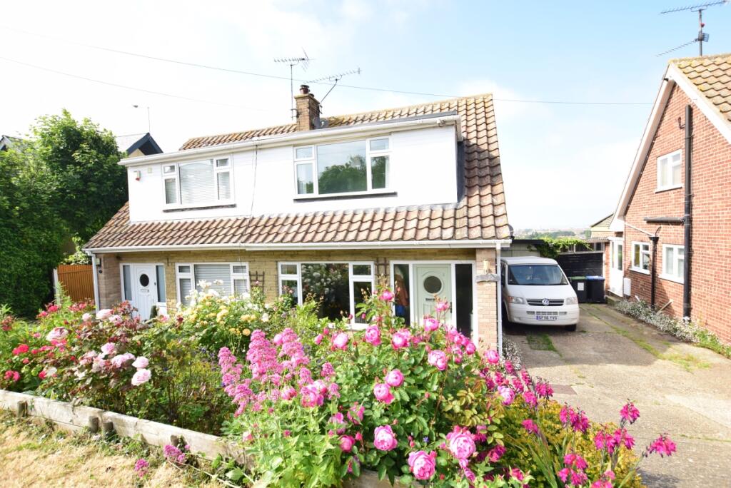
17 GRIMTHORPE AVENUE
WHITSTABLE, KENT CT5 4QA
£1,300 pcm
Property details
Floor area
86 m²
Council tax band
C
Deprivation
Decile 9 (28,071 of 33,755)
Street crime
116 incidents within 1 mile (Apr 2026)
Key features
- ** No Deposit Option Available **
- ** Open House viewings Saturday **
- 1 Year tenancy only
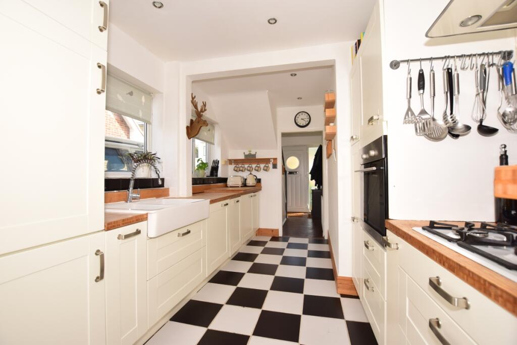
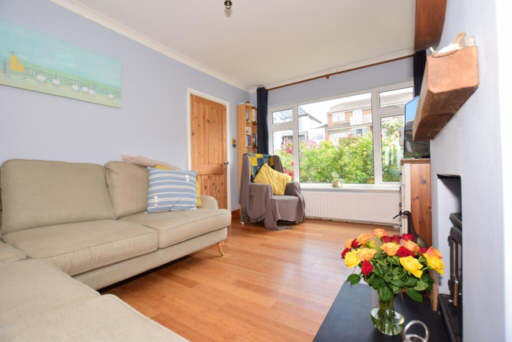
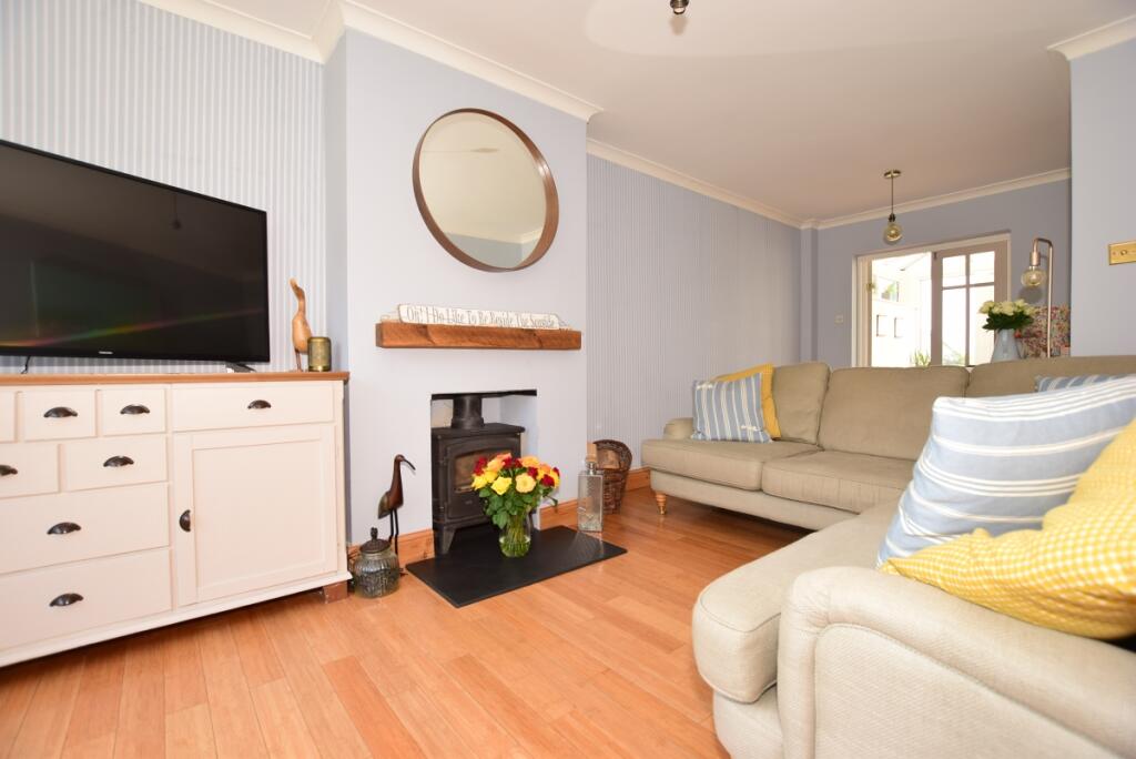
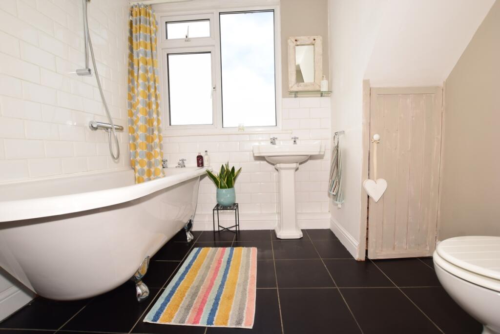
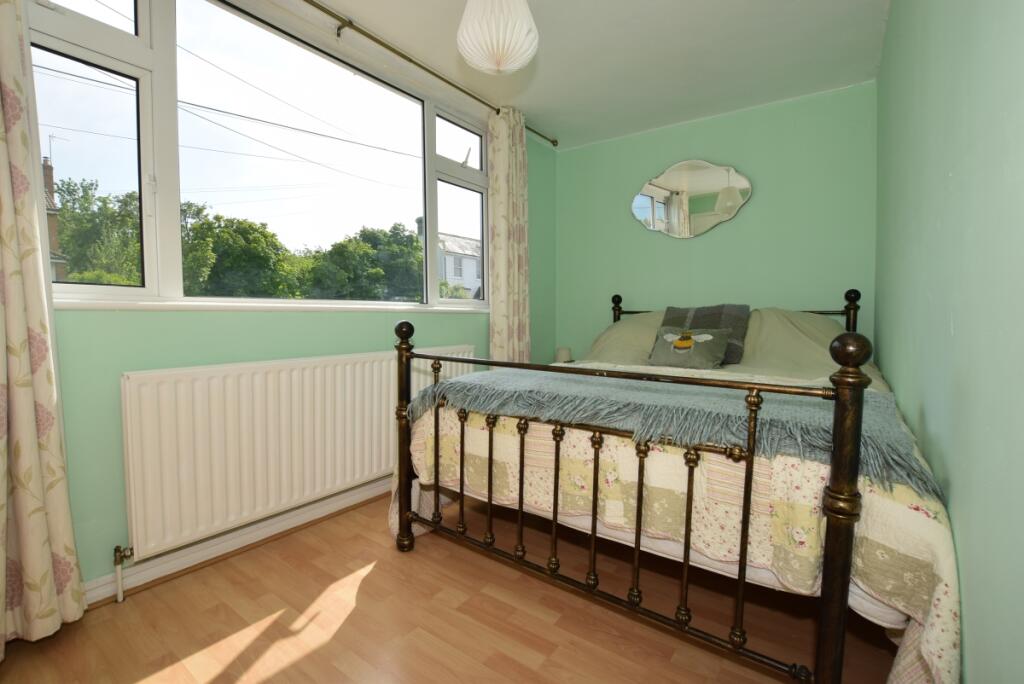
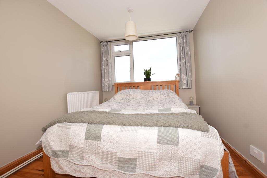
- Fully furnished
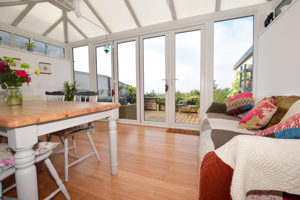
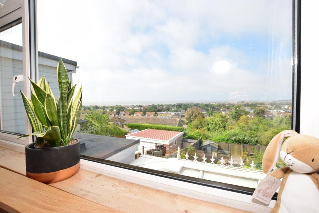
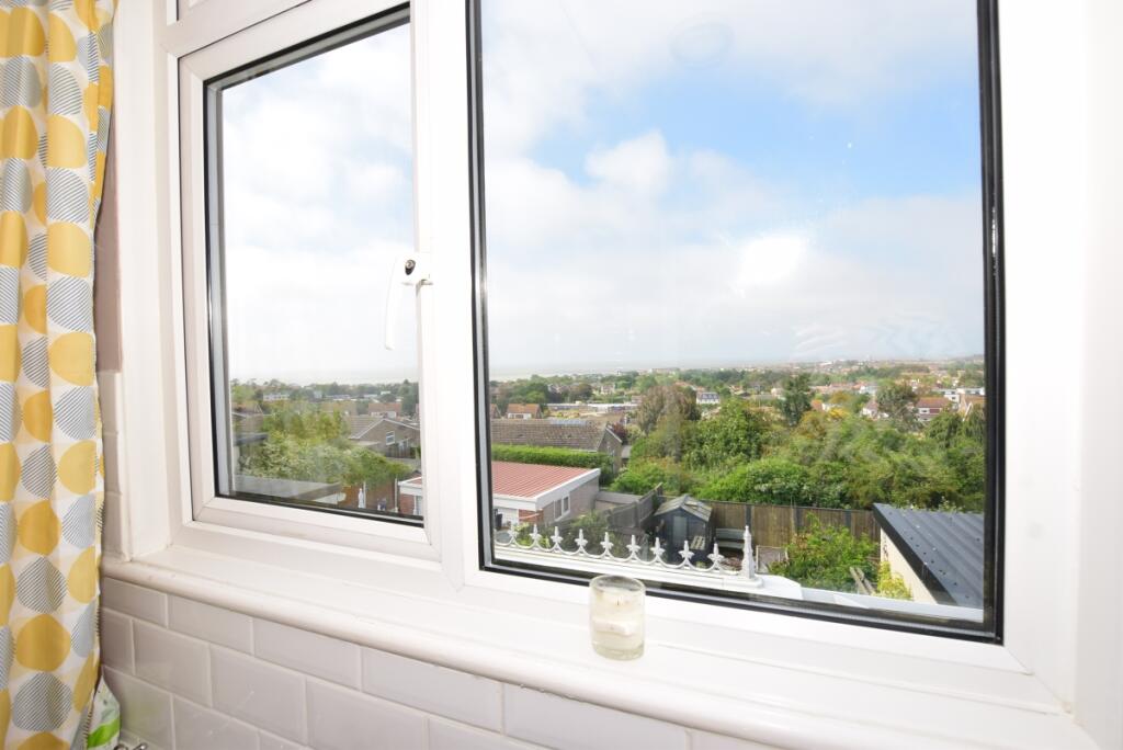
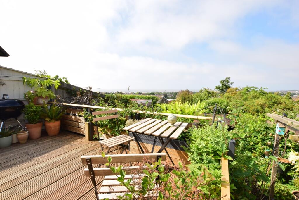
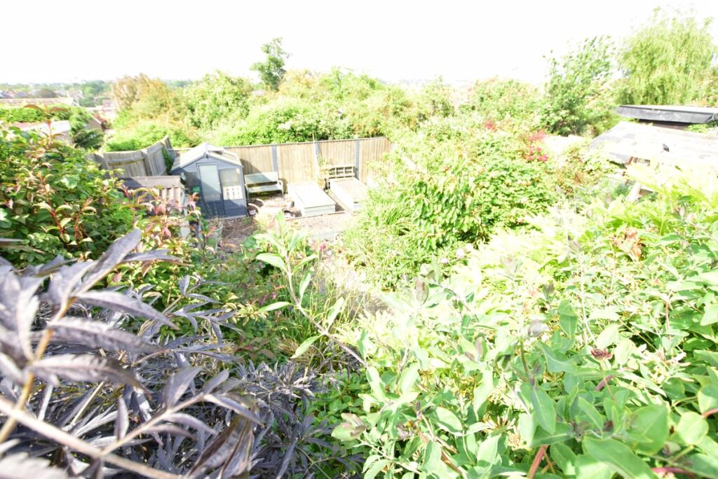
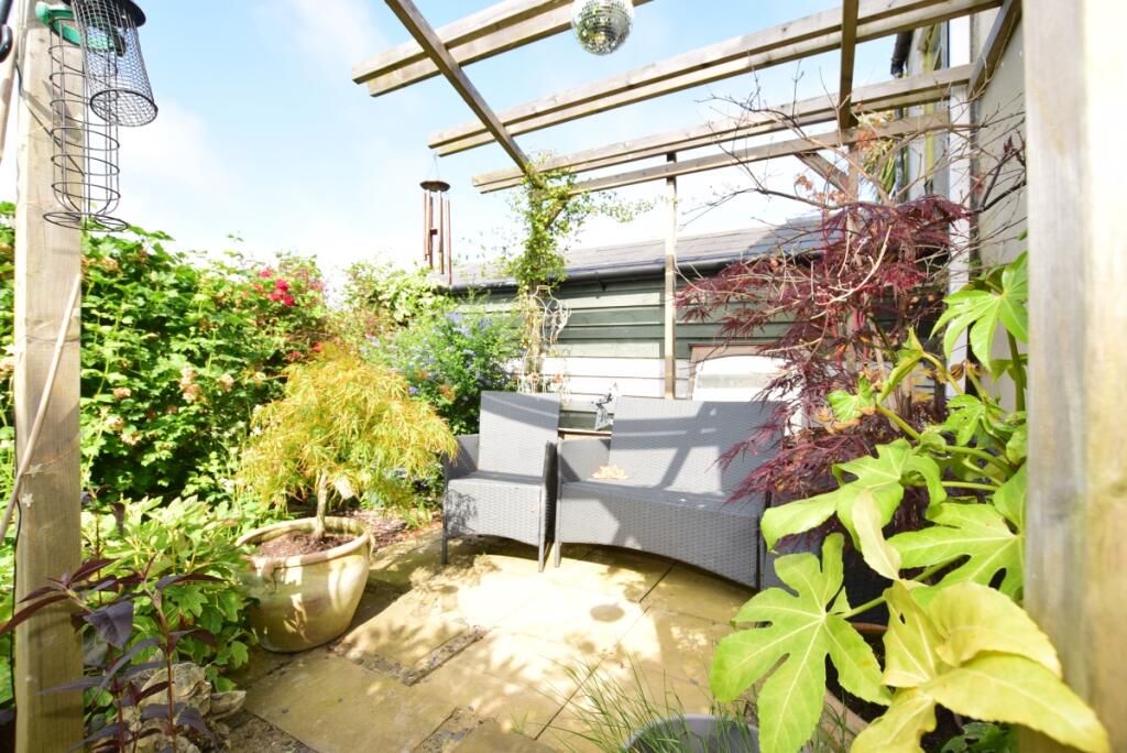
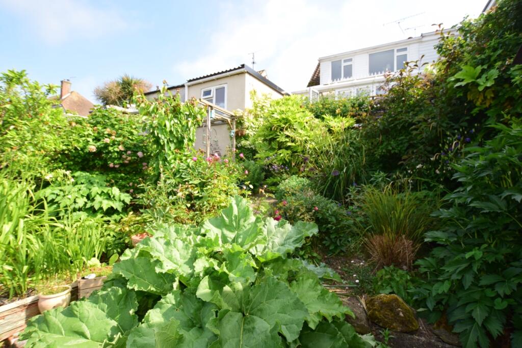
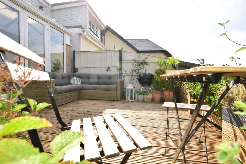
- Great views from the garden and rear of the property
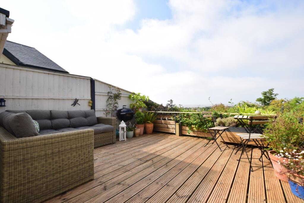
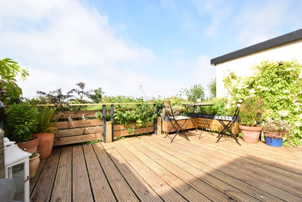
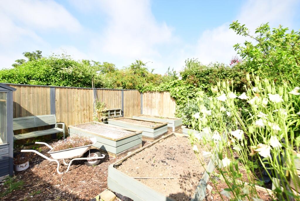
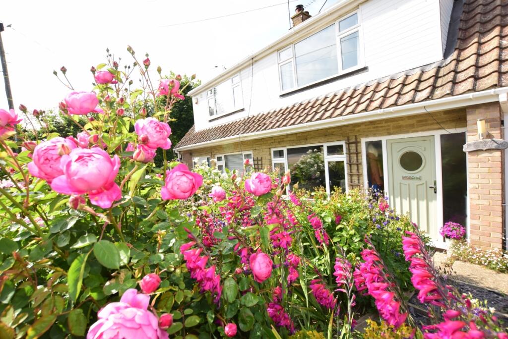
- Beautiful front and rear gardens
Additional details
- Parking
- Communal
- Garden
- Private garden
Description
Location - Grimthorpe Avenue is a much sought after location in the popular seaside town of Whitstable, enjoying an elevated position and within easy access of Duncan Downs. Whitstable itself is a charming town by the sea with its working harbour and colourful streets of fisherman's cottages. The High Street and Harbour Street offer a diverse range of boutique shops, café bars and highly regarded restaurants specialising in local seafood. The mainline railway station at Whitstable provides frequent services to London (Victoria) approximately 80 mins and to the surrounding area. The high speed Javelin service provides access to London (St Pancras) with a journey time of approximately 73 mins. The A299 is also easily accessible offering access to the A2/M2 leading to the channel ports and subsequent motorway network.
Listed by
Herne Bay
Arun Estates
Reference: 136028984
EPC Rating & Upgrade Cost
Fetching EPC data… Refresh this page in a moment.
Flood risk
Zone: 1
Risk: Low
Job (default Low)
Floorplans
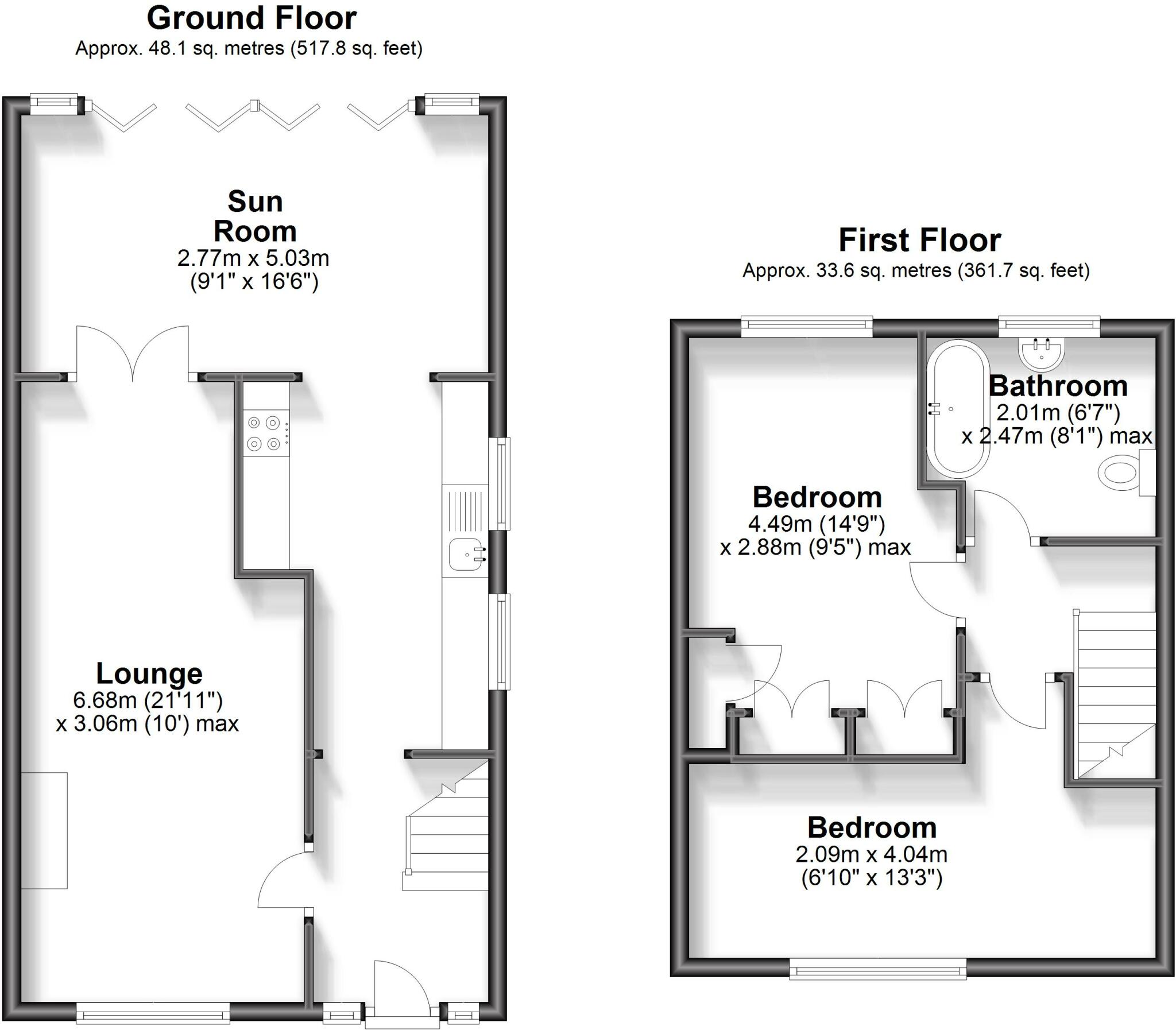
Floor Plan
EPC Graphs

Energy Performanc...
Rental Range
Estimated market rent for Canterbury. Low = conservative, Realistic = average, Optimistic = best case.
Based on Local Authority from postcode lookup → Canterbury.
LHA (30th percentile) floor for Colchester: £793/mo (Apr 2025 – Mar 2026)
Location
Nearby
Nearest stations, universities and amenities (distance from property).
| Type | Name | Distance |
|---|---|---|
| Shop | Carter's Nursery | 0.2 miles |
| Bus stop | Borstal Hill (S-bound) | 0.2 miles |
| Bus stop | Sandpiper Road | 0.2 miles |
| Shop | Tales On Moon Lane | 0.6 miles |
| Train station | Whitstable | 1.0 miles |
| Hospital | Whitstable and Tankerton Hospital | 1.7 miles |
| Train station | Chestfield & Swalecliffe | 2.3 miles |
| University | Nexus (Templeman) | 4.0 miles |
| University | Skills for Academic Success | 4.0 miles |
| Hospital | Queen Victoria Memorial Hospital | 5.5 miles |
Street-level crime
| Category | Count |
|---|---|
| Violence and sexual offences | 35 |
| Anti-social behaviour | 23 |
| Criminal damage and arson | 17 |
| Shoplifting | 14 |
| Other theft | 11 |
| Public order | 6 |
| Burglary | 4 |
| Robbery | 2 |
| Theft from the person | 2 |
| Drugs | 1 |
| Vehicle crime | 1 |
| Total incidents | 116 |
Within 1 mile during Apr 2026. Source: data.police.uk (England & Wales).
Schools nearby
Nearest open schools with Ofsted ratings (England). Closed schools are not shown. Data from Get Information about Schools and Ofsted.
| Name | Type | Distance | Ofsted |
|---|---|---|---|
| Joy Lane Primary Foundation School | Primary | 0.2 miles | Good — 3 Mar 2014 |
| Whitstable Junior School | Primary | 0.7 miles | Good — 18 May 2015 |
| St Alphege Church of England Infant School | Primary | 0.7 miles | Good — 3 Jul 2024 |
| Whitstable and Seasalter Endowed Church of England Junior School | Primary | 0.8 miles | Outstanding — 24 Feb 2017 |
| The Whitstable School | Secondary | 0.9 miles | Good — 24 Apr 2024 |
Rental Comparables
Rental listings exist nearby, but none matched the 2-bedroom count for this property.