3 FARTHING LANE
ST IVES, CAMBRIDGESHIRE PE27 5JQ
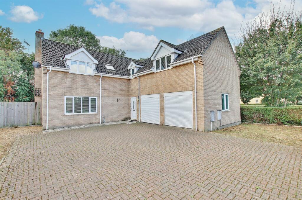
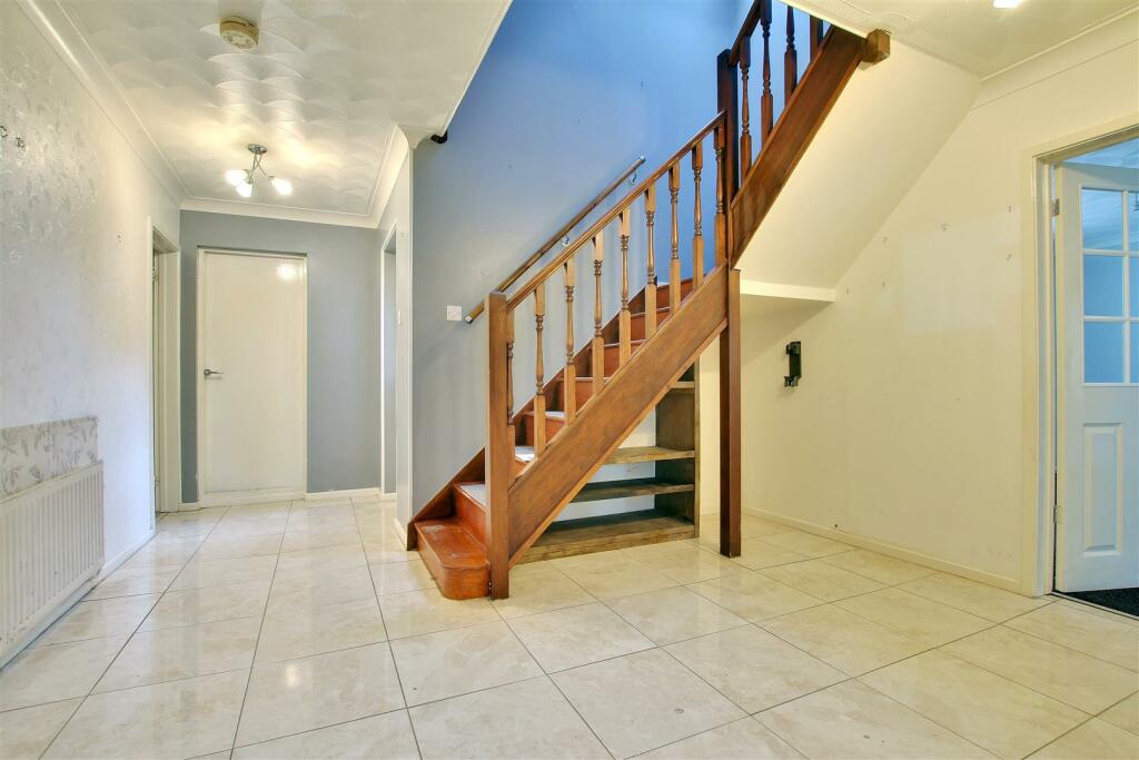
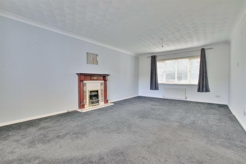
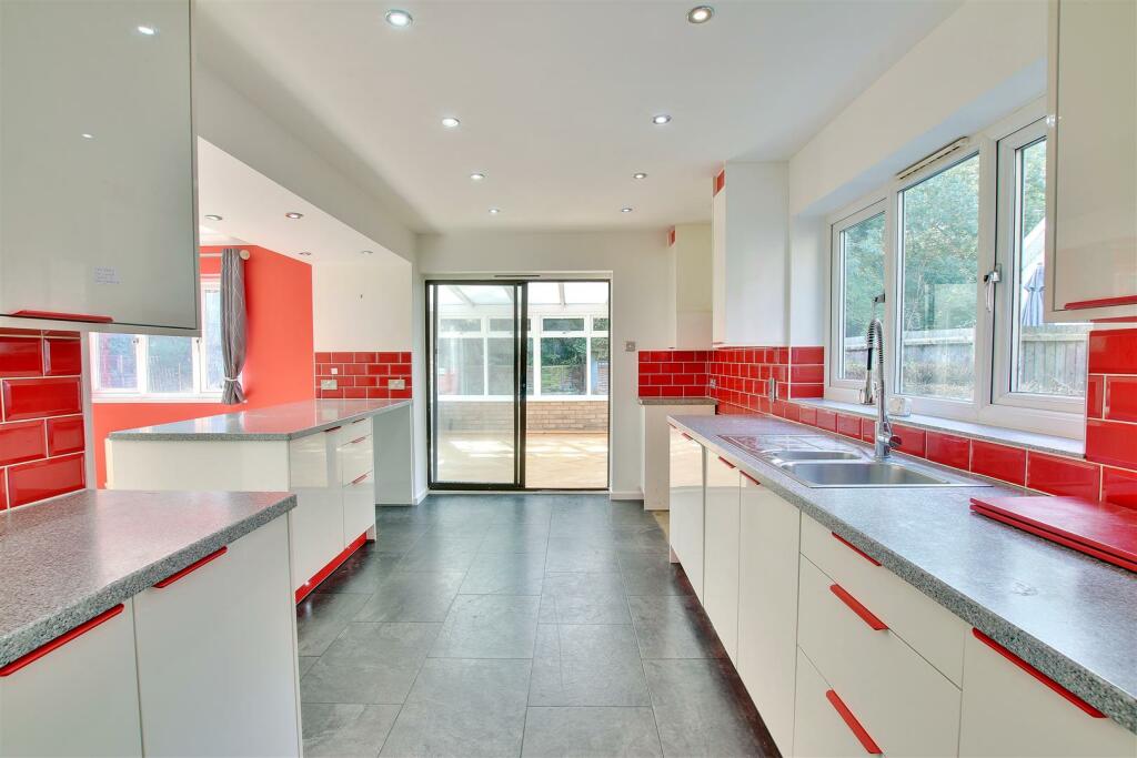
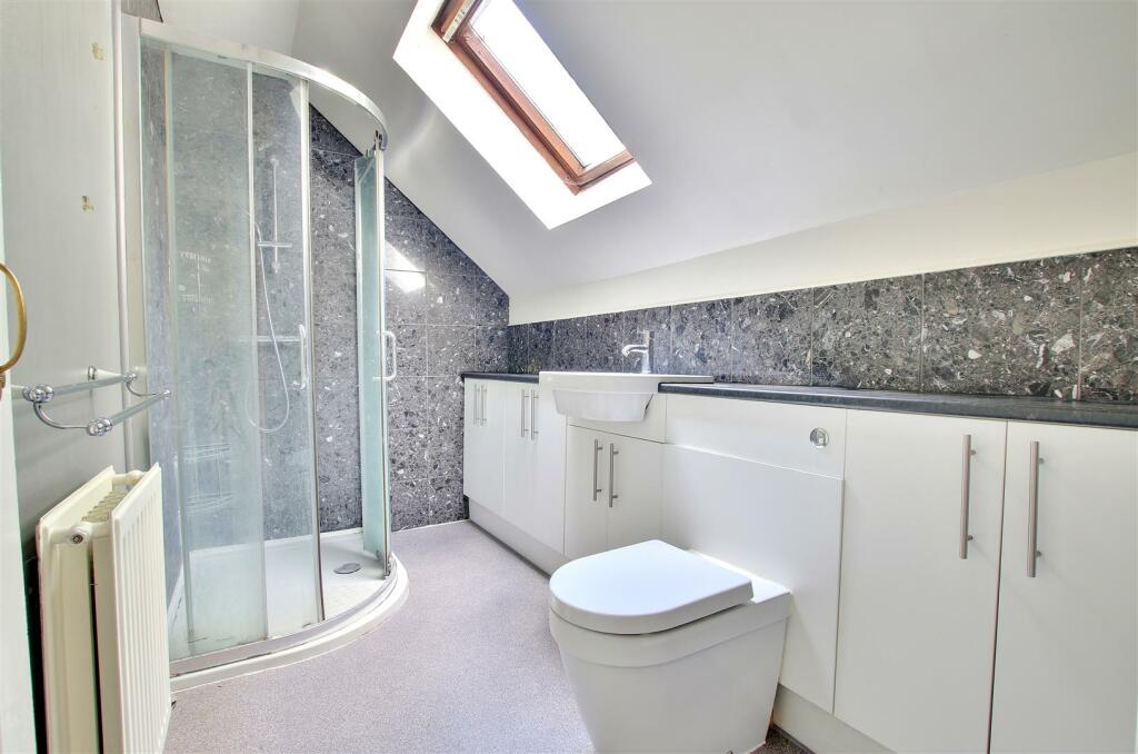
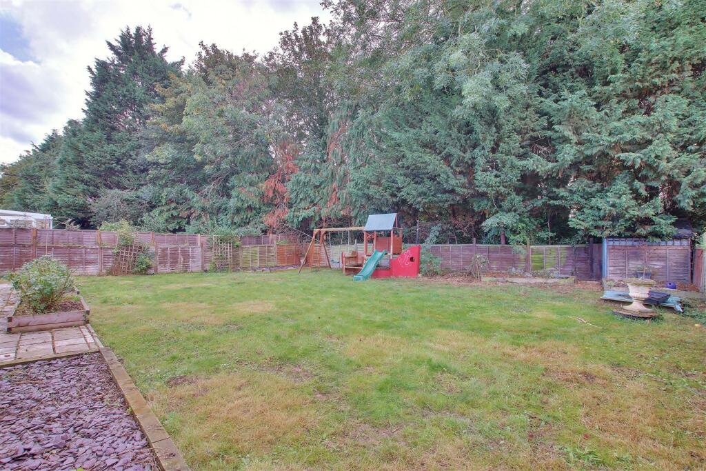
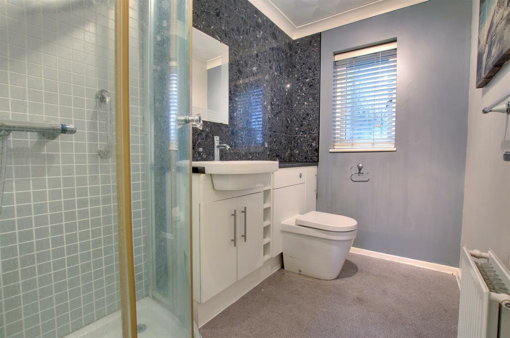
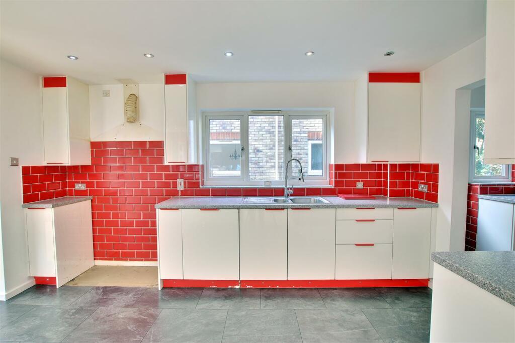
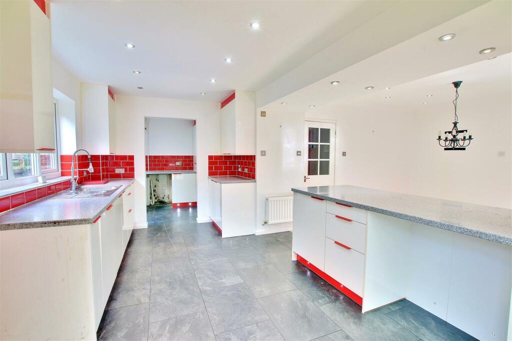
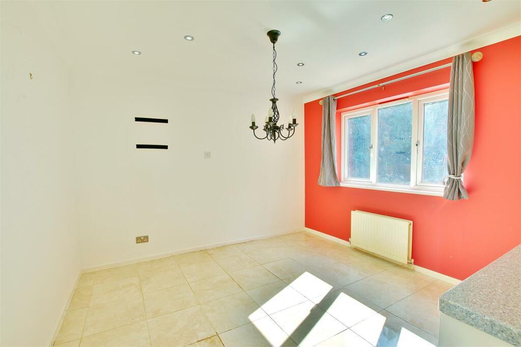
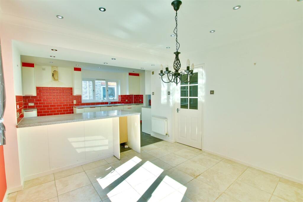
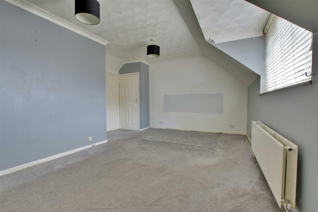
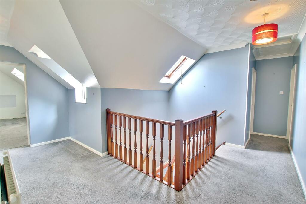
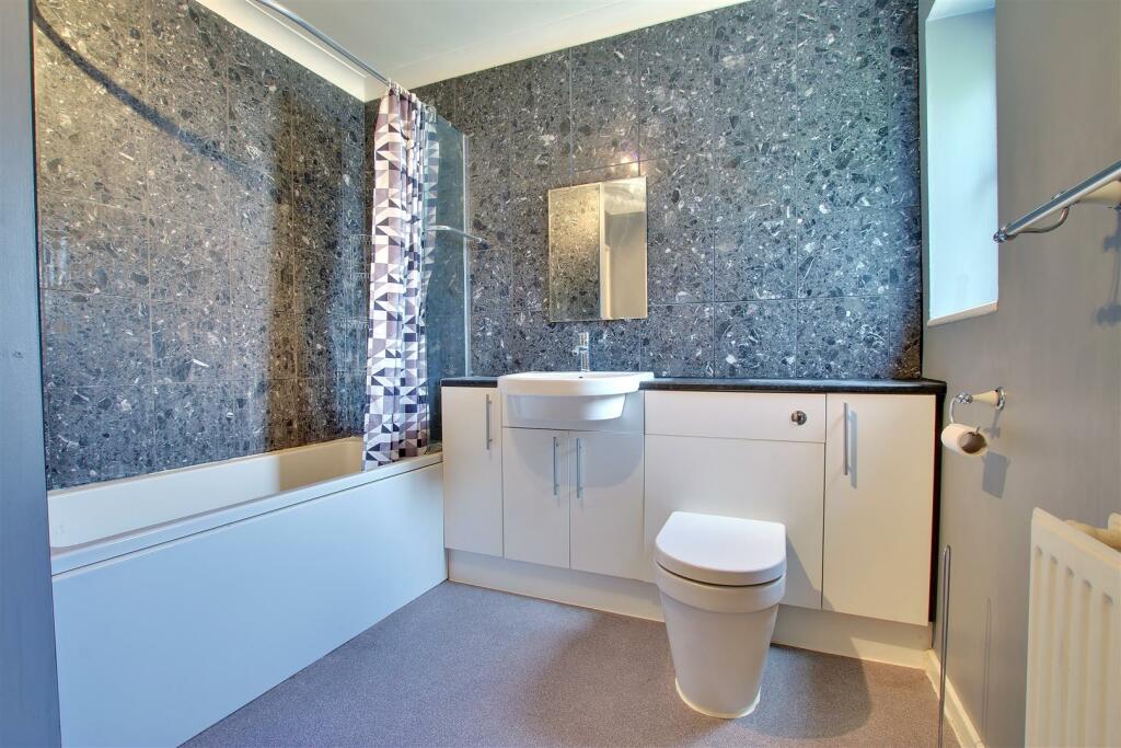
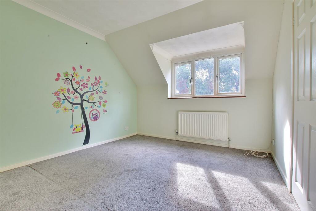
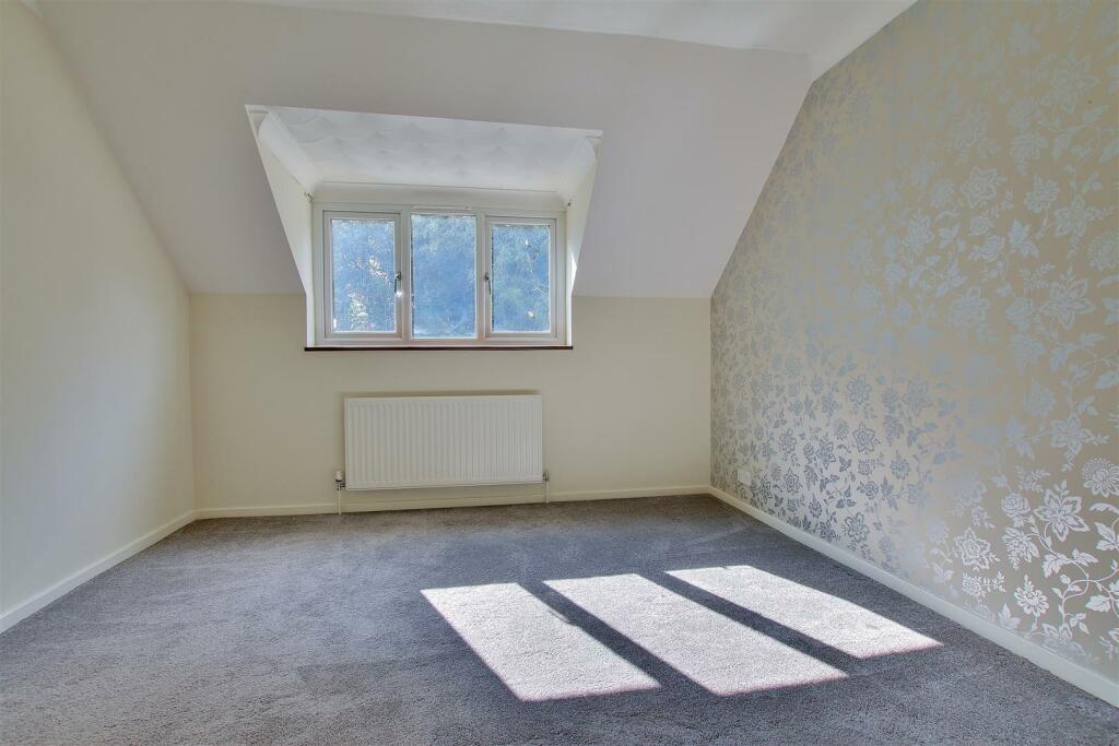
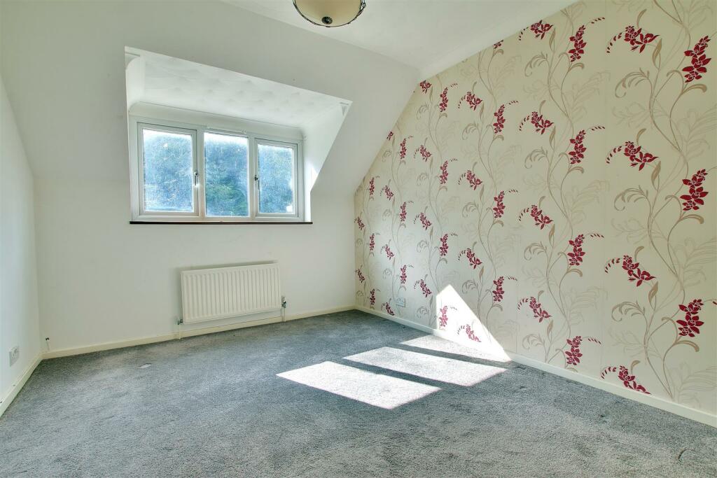
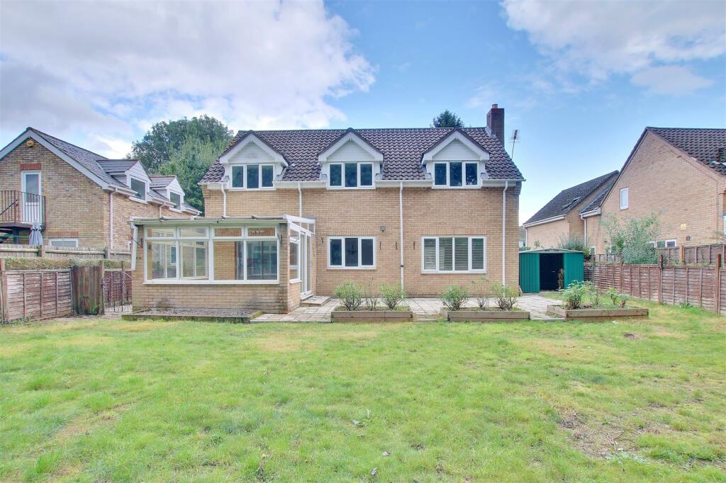
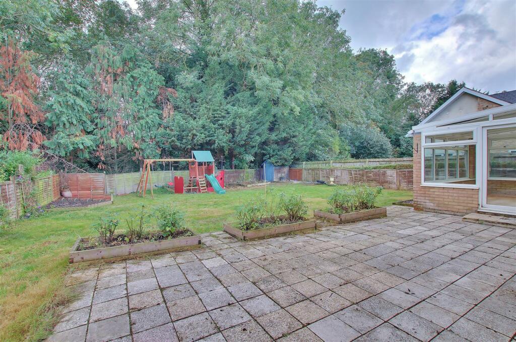
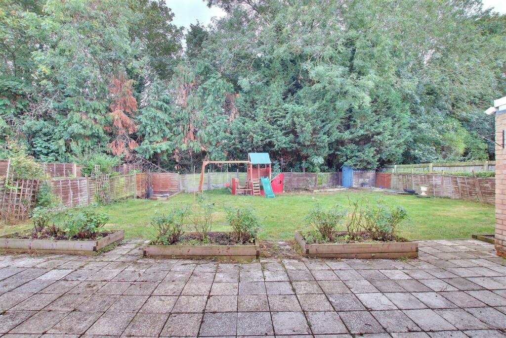
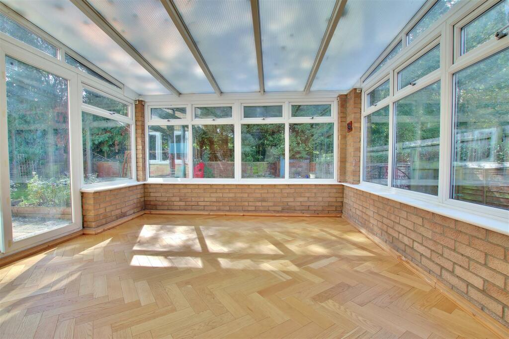
Photo 1 Photo 2 Photo 3 Photo 4 Photo 5 Photo 6 Photo 7 Photo 8 Photo 9 Photo 10 Photo 11 Photo 12 Photo 13 Photo 14 Photo 15 Photo 16 Photo 17 Photo 18 Photo 19 Photo 20 Photo 21
/ 21
Property details
Tenure
FREEHOLD
Floor area
180 m²
Council tax band
E
EPC rating
C
Year built
England and Wales: 1991-1995
Last sold
£442,000 Mar 2024
Price per m²
£2,500/m²
Local average
£422,750 (+6.4%)
Deprivation
Decile 8 (24,506 of 33,755)
Street crime
96 incidents within 1 mile (May 2026)
Key features
- NO FORWARD CHAIN
- FIVE DOUBLE BEDROOMS
- THREE BATHROOMS
- MEASURING APPROX. 2380 SQ-FT
- DOUBLE GARAGE
- IN NEED OF SOME UPDATING
- SOUTH OF ST AUDREY LANE
- SHORT WALK TO TOWN CENTRE & GUIDED BUSWAY TO CAMBRIDGE
- SOUTHERLY FACING REAR GARDEN
- GUIDE PRICE £450,000 TO £475,000
Additional details
- Parking
- Yes
- Garden
- Yes
Description
Guide Price £450,000 to £475,000. A substantial detached home measuring approximately 2380 SQ-FT offered with No Forward Chain. Although a little tired and in need of some updating the property offers great potential to be a fantastic home and is located south of St Audrey Lane and within an easy walk to St Ives town centre the Guided Busway to Cambridge.
The good sized accommodation briefly comprises, five double bedrooms, three bathrooms, lounge, kitchen/diner, utility room and conservatory. Outside the property boasts a southerly facing rear garden and ample off road parking provided by a large block paved driveway which leads to a double garage.
A viewing is essential to fully appreciate the space and potential offered.
Ground Floor
Entrance Hall
Shower Room
Lounge
6.57m (21'7") x 3.98m (13'1")
Kitchen/Diner
6.22m (20'5") x 4.37m (14'4")
Conservatory
3.83m (12'7") x 3.54m (11'7")
Utility Room
2.52m (8'3") x 2.10m (6'11")
First Floor
Landing
Bedroom 1
5.50m (18') x 2.93m (9'7")
En-suite Shower Room
Bedroom 2
3.45m (11'4") x 3.44m (11'4")
Bedroom 3
3.42m (11'3") x 3.24m (10'8")
Bedroom 4
3.66m (12') max x 3.00m (9'10")
Bedroom 5
3.20m (10'6") max x 3.03m (9'11")
Bathroom
Outside
Double Garage
5.50m (18') x 5.11m (16'9")
Further Information
Tenure: Freehold
Council Tax Band: E
EPC Rating: C
Listed by
St Ives
Ellis Winters Estate Agents
Reference: 144820937
EPC Rating & Upgrade Cost
Current rating: C
Potential rating: B
Inspection date: 13/03/2023
Expiry date: 12/03/2033
Current heating cost: £2,113/year
Potential heating cost: £1,783/year
Est. upgrade cost to C: £5,900
Recommendations
- Floor insulation (suspended floor) (£800 - £1,200)
- Upgrade heating controls (£350 - £450)
- Solar photovoltaic panels, 2.5 kWp (£3,500 - £5,500)
Flood risk
Zone: 1
Risk: Low
Job (default Low)
Floorplans
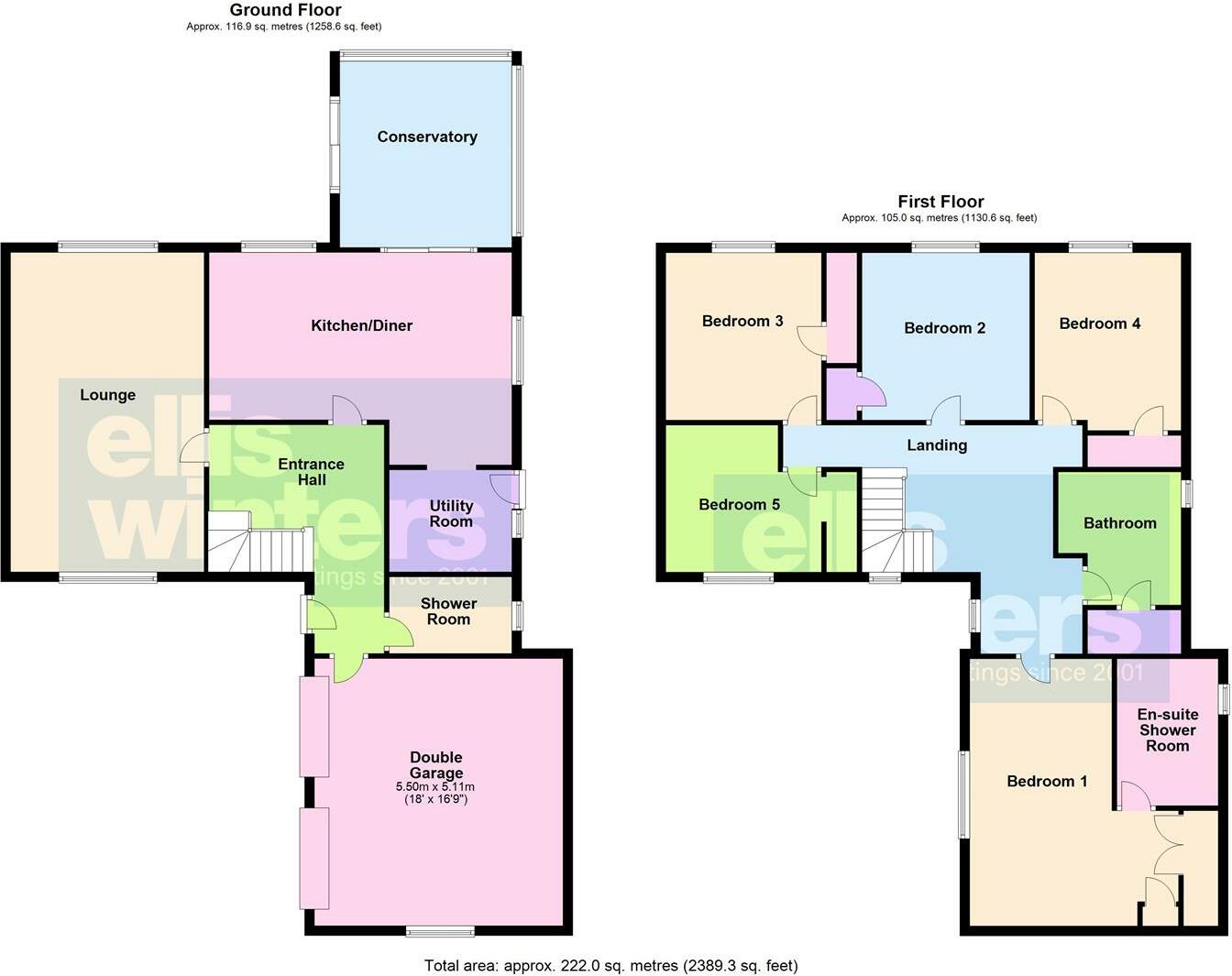
GF and FF Floor Plan Not To Scale
FENSA Certificates
This property has 1 FENSA certificate(s) on record, indicating window/door installations by FENSA-approved installers.
FENSA Certificate #5034838
Property Details
Street: 3 Farthing Lane
Town: ST. IVES
Postcode: PE27 5JQ
Installation Details
Items: 14 windows and 2 doors
Certificate Issued: 10/09/2007
Work Completed: 23/04/2007
This certificate data was retrieved from FENSA's database
What is FENSA? FENSA (Fenestration Self-Assessment Scheme) is a government-authorised scheme that monitors building regulation compliance for replacement windows and doors. Certificates indicate that work was completed by FENSA-approved installers.
Price history
| Event | Date | Price | % change |
|---|---|---|---|
| Sold | 25/03/2024 (2 years ago) | £442,000 | — |
Source: HM Land Registry Price Paid Data. Crown copyright.
Sold Comparables
Same street and nearby sales within 0.25 miles (last 5 years). Data from Land Registry Price Paid.
| Address | Price | Date | Type |
|---|---|---|---|
| 9 WARREN ROAD, ST IVES, HUNTINGDONSHIRE, CAMBRIDGESHIRE, PE27 5NX | £375,000 | 09/06/2023 | Detached |
| 22 ROOKERY CLOSE, ST IVES, HUNTINGDONSHIRE, CAMBRIDGESHIRE, PE27 5FX | £505,000 | 11/05/2023 | Detached |
| 23 WARREN ROAD, ST IVES, HUNTINGDONSHIRE, CAMBRIDGESHIRE, PE27 5NX | £560,000 | 27/01/2023 | Detached |
| 5 PARK AVENUE, ST IVES, HUNTINGDONSHIRE, CAMBRIDGESHIRE, PE27 5JW | £820,000 | 22/09/2022 | Detached |
| 116 NEEDINGWORTH ROAD, ST IVES, HUNTINGDONSHIRE, CAMBRIDGESHIRE, PE27 5JY | £527,500 | 06/05/2022 | Detached |
| Same street 7 FARTHING LANE, ST IVES, HUNTINGDONSHIRE, CAMBRIDGESHIRE, PE27 5JQ | £415,000 | 07/03/2022 | Detached |
| 2A SHEEPFOLD, ST IVES, HUNTINGDONSHIRE, CAMBRIDGESHIRE, PE27 5FY | £500,000 | 28/02/2022 | Detached |
| 16 ROOKERY CLOSE, ST IVES, HUNTINGDONSHIRE, CAMBRIDGESHIRE, PE27 5FX | £650,000 | 07/01/2022 | Detached |
| 4 SHEEPFOLD, ST IVES, HUNTINGDONSHIRE, CAMBRIDGESHIRE, PE27 5FY | £500,000 | 12/11/2021 | Detached |
Street average: £415,000 (1 sale)
Area average: £554,688 (8 sales)
Capital growth trend
Land Registry outcode average: last 12 months vs 5y and 10y ago (from sold prices).
House Price Index (HM Land Registry — official index, not sold-price averages): Huntingdonshire. Series: Detached. As of April 2026.
Rental Range
Estimated market rent for Huntingdonshire. Low = conservative, Realistic = average, Optimistic = best case.
Based on Local Authority from postcode lookup → Huntingdonshire.
LHA (30th percentile) floor for Huntingdon: £1,247/mo (Apr 2025 – Mar 2026)
Location
Nearby
Nearest stations, universities and amenities (distance from property).
| Type | Name | Distance |
|---|---|---|
| Bus stop | Little Farthing Close | 0.1 miles |
| Shop | Needingworth Road Food Store | 0.1 miles |
| Shop | Move With Us | 0.3 miles |
| Hospital | MS (Multiple Scelerosis) Therapy Centre | 4.5 miles |
| Hospital | Linnea Cromwell Hospital | 5.2 miles |
| Train station | Huntingdon | 5.4 miles |
| University | Madingley Hall | 8.3 miles |
| Train station | St Neots | 10.1 miles |
| University | BPP | 11.5 miles |
Street-level crime
| Category | Count |
|---|---|
| Violence and sexual offences | 35 |
| Anti-social behaviour | 23 |
| Shoplifting | 10 |
| Criminal damage and arson | 7 |
| Public order | 6 |
| Other theft | 4 |
| Vehicle crime | 3 |
| Drugs | 2 |
| Theft from the person | 2 |
| Bicycle theft | 1 |
| Burglary | 1 |
| Other crime | 1 |
| Possession of weapons | 1 |
| Total incidents | 96 |
Within 1 mile during May 2026. Source: data.police.uk (England & Wales).
Schools nearby
Nearest open schools with Ofsted ratings (England). Closed schools are not shown. Data from Get Information about Schools and Ofsted.
| Name | Type | Distance | Ofsted |
|---|---|---|---|
| Eastfield Infant and Nursery School | Primary | 0.4 miles | Good — 16 Oct 2019 |
| Westfield Junior School | Primary | 0.5 miles | Good — 5 Dec 2017 |
| Wheatfields Primary School | Primary | 0.9 miles | — (Inspected (no overall grade)) |
| St Ivo Academy | Secondary | 0.9 miles | Good — 30 May 2024 |
| Aurora Fairway School | Other | 1.0 miles | Good — 15 Jan 2024 |
Rental Comparables
Rental listings exist nearby, but none matched the 5-bedroom count for this property.
Rent-driven metrics
Based on Area rent estimate.
- Rent ratio — Monthly rent ÷ purchase price (1% rule). 1%+ = strong, 0.8–1% = okay, <0.8% = weak for cashflow.
- Max investor price — Rent ÷ 0.8%; the price at which rent would be 0.8% of price (Stoke-style target).
- Target investor price — Rent ÷ 1%; the price at which rent would be 1% of price (strong cashflow band).
- Gross yield — Annual rent as % of purchase price (no costs).