72 CAMDEN STREET
STOCKTON-ON-TEES, STOCKTON-ON-TEES TS18 3LA
£585 pcm
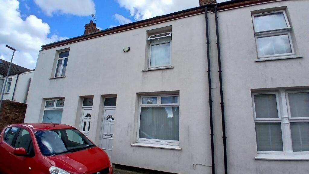
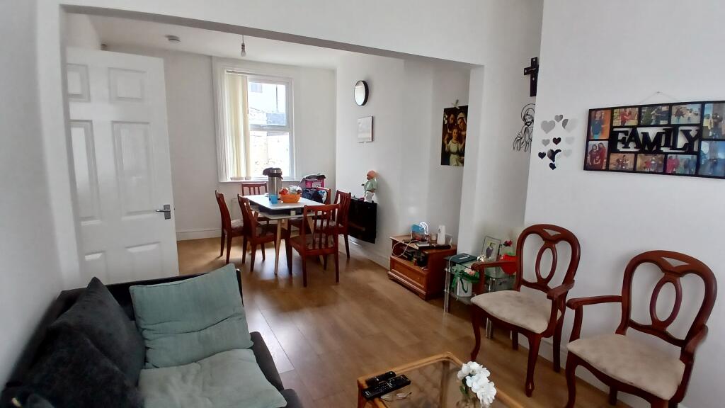
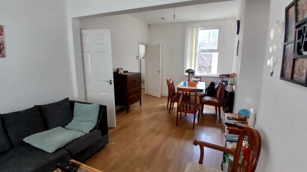
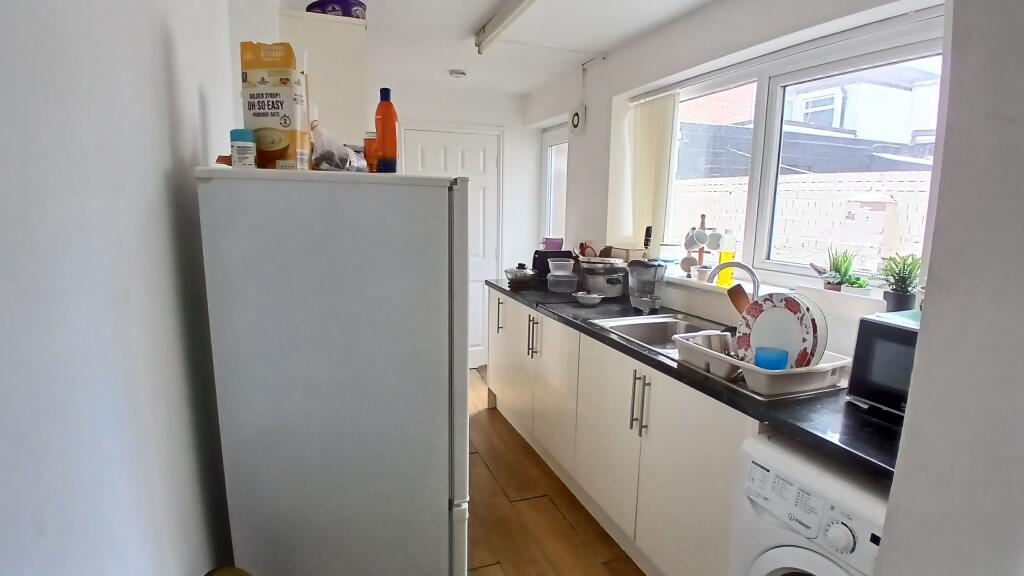
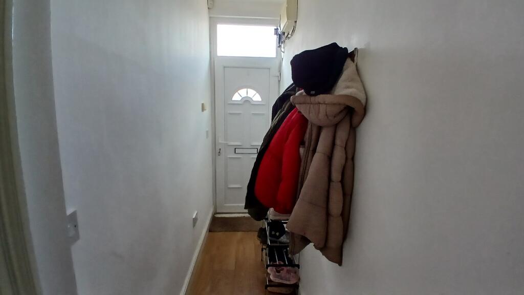
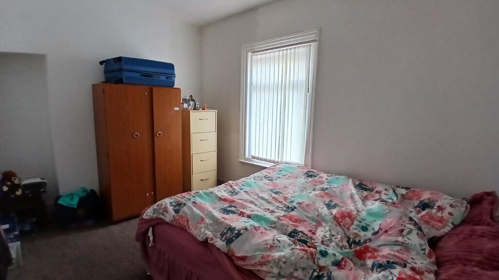

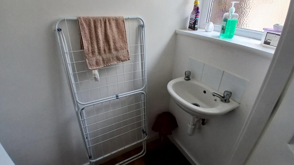
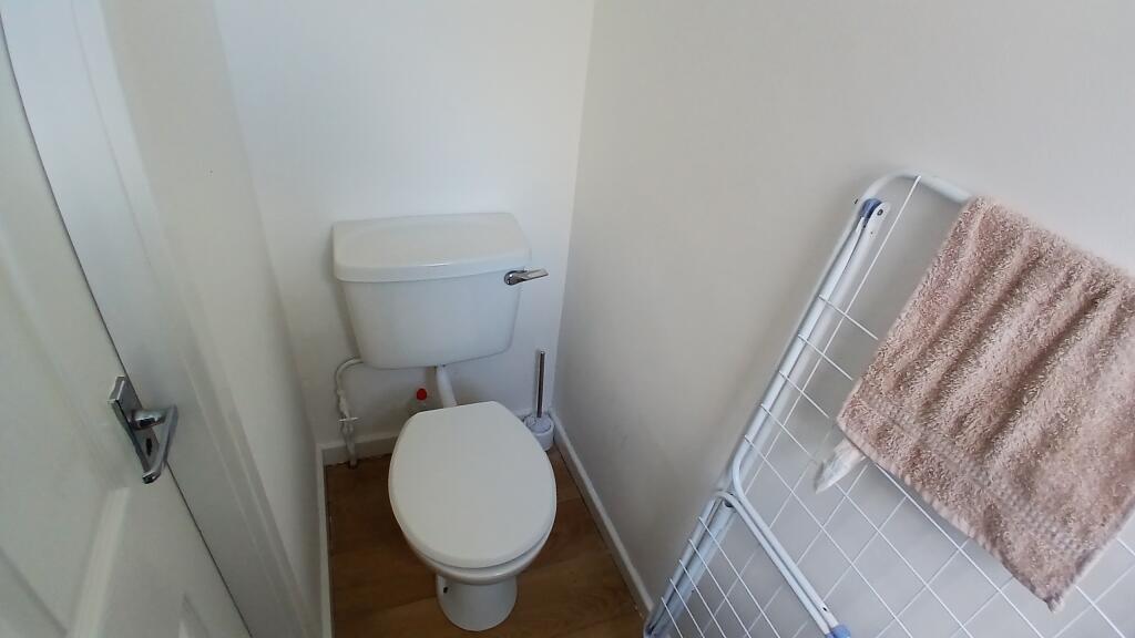
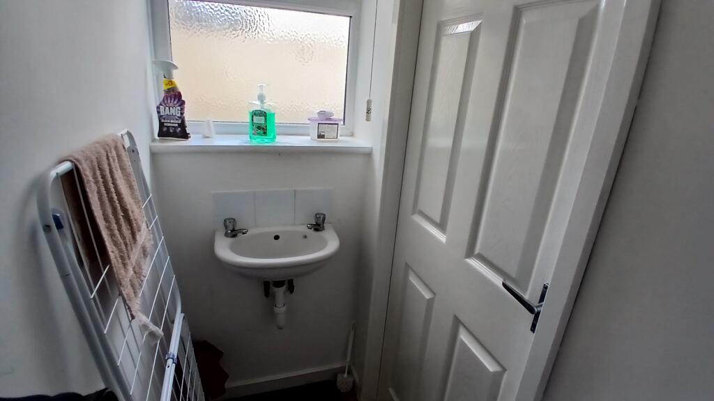
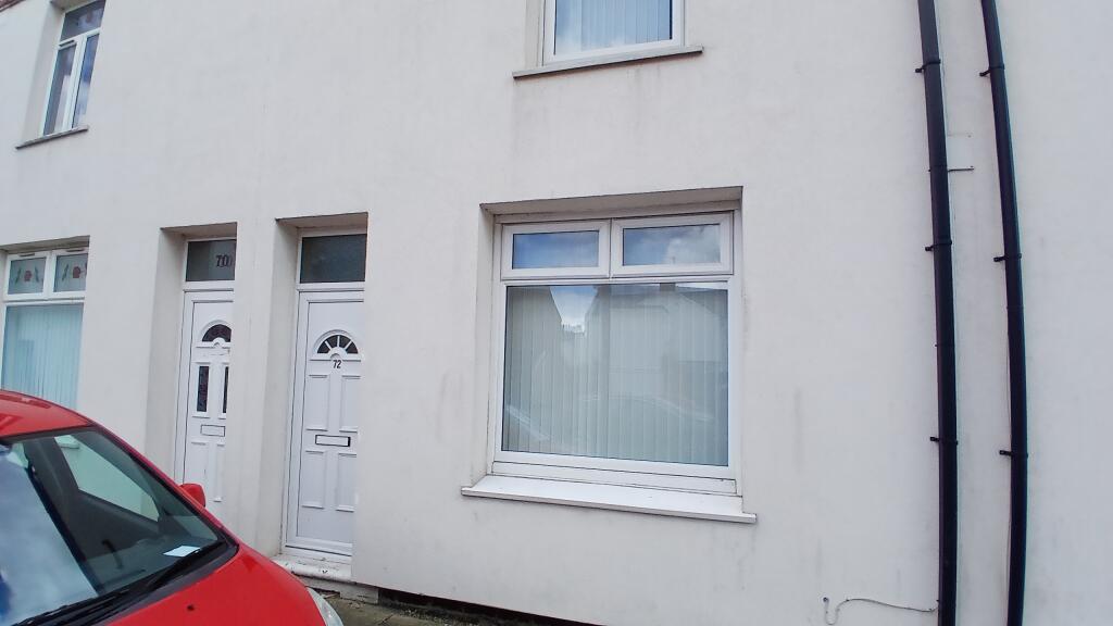
Photo 1 Photo 2 Photo 3 Photo 4 Photo 5 Photo 6 Photo 7 Photo 8 Photo 9 Photo 10 Photo 11 Photo 12
/ 12
Property details
Floor area
70 m²
EPC rating
C
Year built
England and Wales: 1900-1929
Deprivation
Decile 1 (1,536 of 33,755)
Street crime
622 incidents within 1 mile (Apr 2026)
Additional details
- Garden
- Yes
Description
Property briefly comprises of the following :- DG, GCH, yard to rear.
Entrance hall, through lounge diner, galley style kitchen and downstairs cloakroom.
To the first floor are 2 good sized bedrooms and family bathroom.
Early viewing recommended.
Listed by
Stockton-On-Tees
Accolade Lettings Ltd
Reference: 89645742
EPC Rating & Upgrade Cost
Current rating: C
Potential rating: B
Inspection date: 20/03/2024
Expiry date: 19/03/2034
Current heating cost: £820/year
Potential heating cost: £767/year
Est. upgrade cost to C: £10,500
Recommendations
- Floor insulation (suspended floor) (£800 - £1,200)
- Solar water heating (£4,000 - £6,000)
- Solar photovoltaic panels, 2.5 kWp (£3,500 - £5,500)
Flood risk
Zone: 1
Risk: Low
Job (default Low)
Rental Range
Estimated market rent for Stockton-on-Tees. Low = conservative, Realistic = average, Optimistic = best case.
Based on Local Authority from postcode lookup → Stockton-on-Tees.
LHA (30th percentile) floor for Teesside: £474/mo (Apr 2025 – Mar 2026)
Location
Nearby
Nearest stations, universities and amenities (distance from property).
| Type | Name | Distance |
|---|---|---|
| Bus stop | Richardson Road | 0.1 miles |
| Shop | Unknown | 0.1 miles |
| Shop | Paul Curran Cycle Sport | 0.1 miles |
| Train station | Thornaby | 0.8 miles |
| Train station | Stockton | 0.9 miles |
| University | Durham University, Queen's Campus | 1.1 miles |
| Hospital | Butterwick Hospice | 2.0 miles |
| University | Teesside University | 3.6 miles |
| Hospital | Middleton St.George Hospital | 5.3 miles |
Street-level crime
| Category | Count |
|---|---|
| Violence and sexual offences | 203 |
| Shoplifting | 123 |
| Anti-social behaviour | 71 |
| Criminal damage and arson | 55 |
| Public order | 36 |
| Vehicle crime | 32 |
| Other theft | 27 |
| Burglary | 16 |
| Drugs | 16 |
| Other crime | 15 |
| Robbery | 15 |
| Possession of weapons | 8 |
| Theft from the person | 3 |
| Bicycle theft | 2 |
| Total incidents | 622 |
Within 1 mile during Apr 2026. Source: data.police.uk (England & Wales).
Schools nearby
Nearest open schools with Ofsted ratings (England). Closed schools are not shown. Data from Get Information about Schools and Ofsted.
| Name | Type | Distance | Ofsted |
|---|---|---|---|
| Bowesfield Primary School | Primary | 0.1 miles | Good — 25 Apr 2024 |
| St Cuthbert's Catholic Primary School, Stockton | Primary | 0.2 miles | Good — 16 Jan 2013 |
| Oxbridge Lane Primary School | Primary | 0.4 miles | Good — 12 Oct 2021 |
| Mill Lane Primary School | Primary | 0.7 miles | Good — 26 Jun 2023 |
| Hartwell School | Other | 0.7 miles | Good — 24 Mar 2022 |
Rental Comparables
Residential lets from OpenRent and Rightmove for the area (same bedroom count). Use to validate rent estimates. Student lets are excluded.
| Title | Rent | Beds | Distance | As seen on |
|---|---|---|---|---|
| Camden Street, Stockton-on-tees | £585/mo | 2 | 0 miles | Rightmove |
Average rent: £585/mo (1 listing)