FLAT 3
14 CLIFTON ROAD, BRISTOL, CITY OF BRISTOL BS8 1AQ
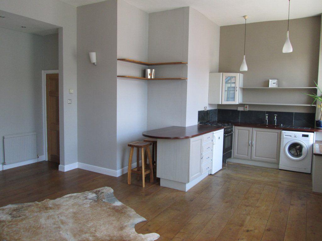
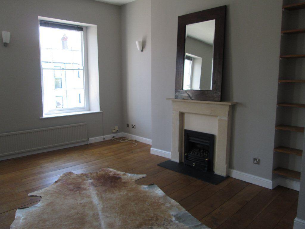
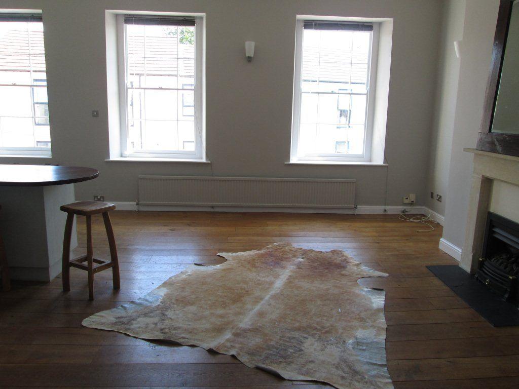
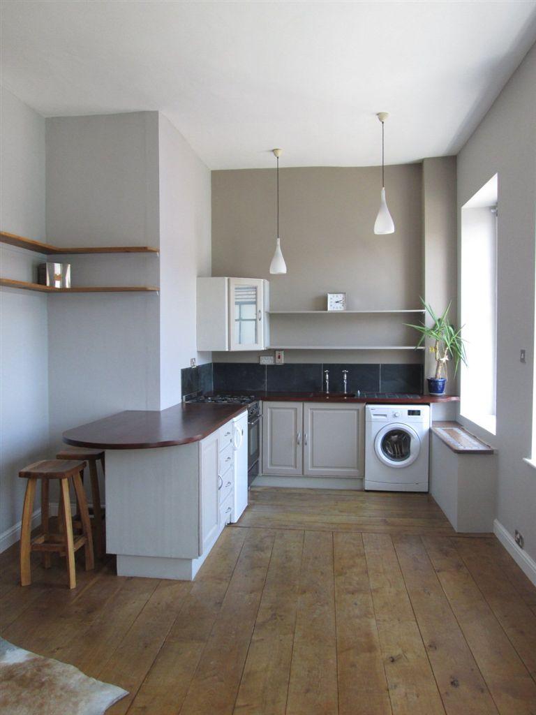
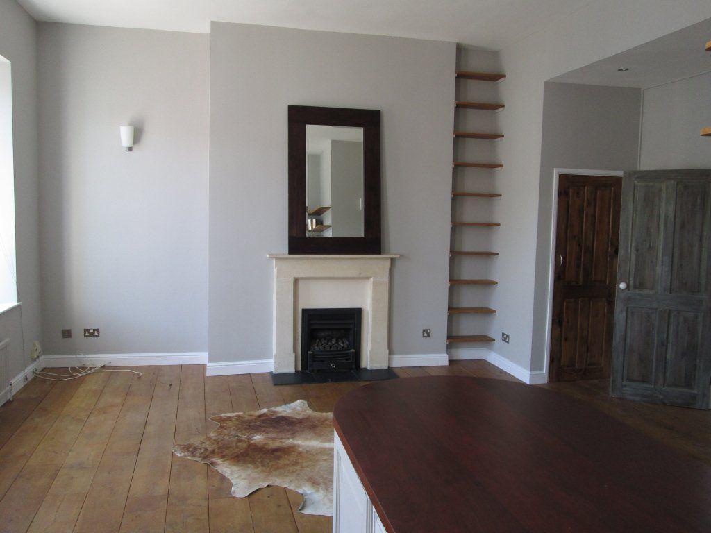
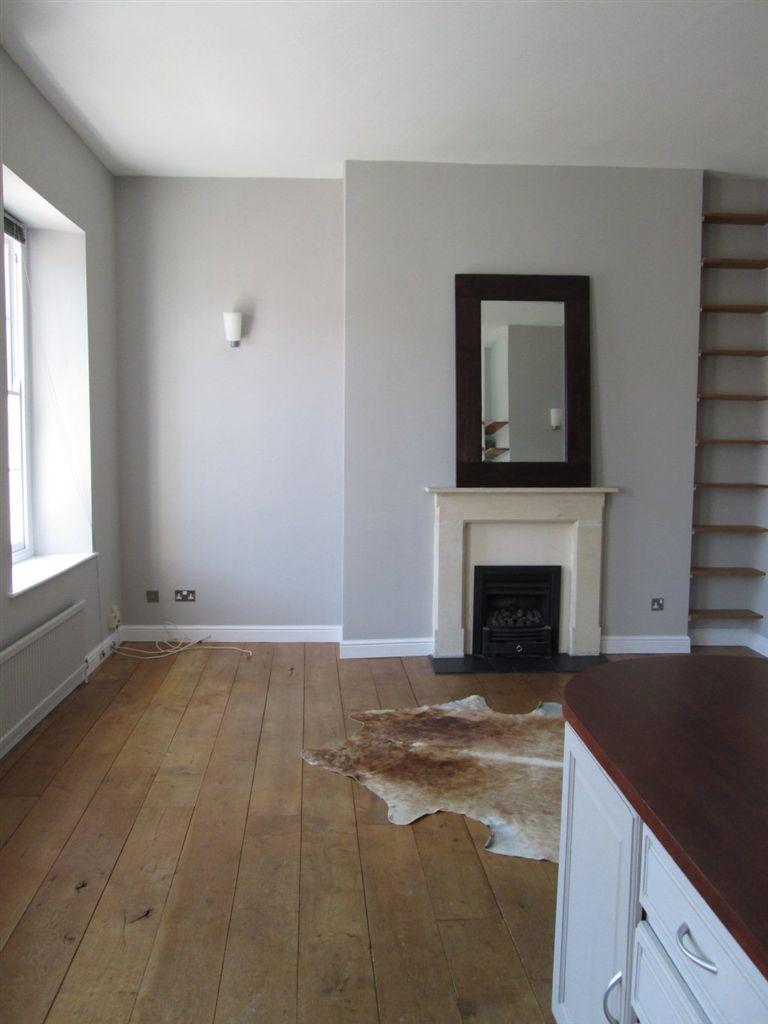
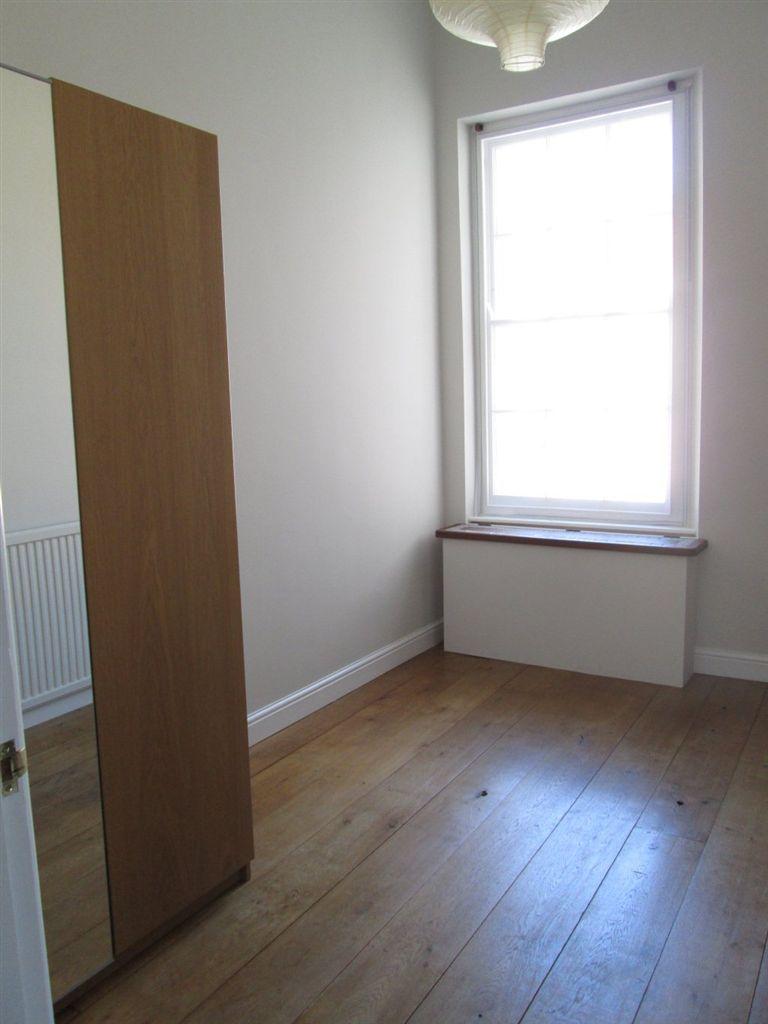
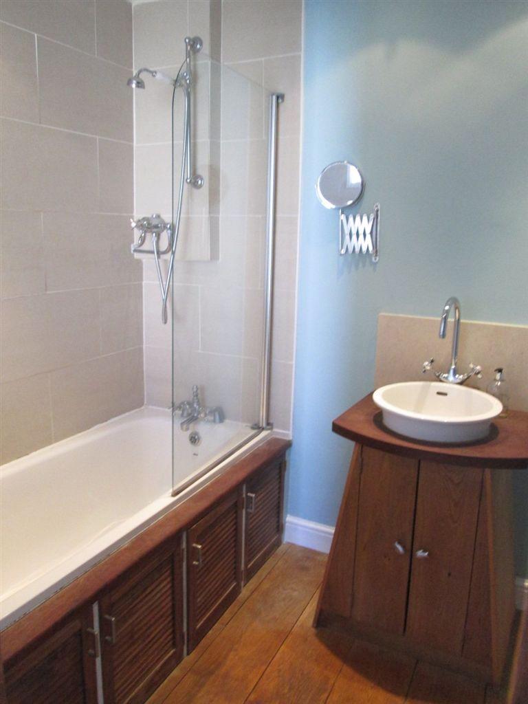
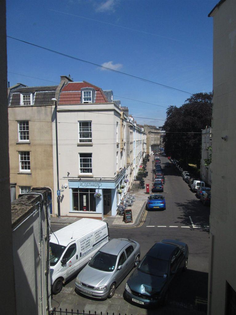
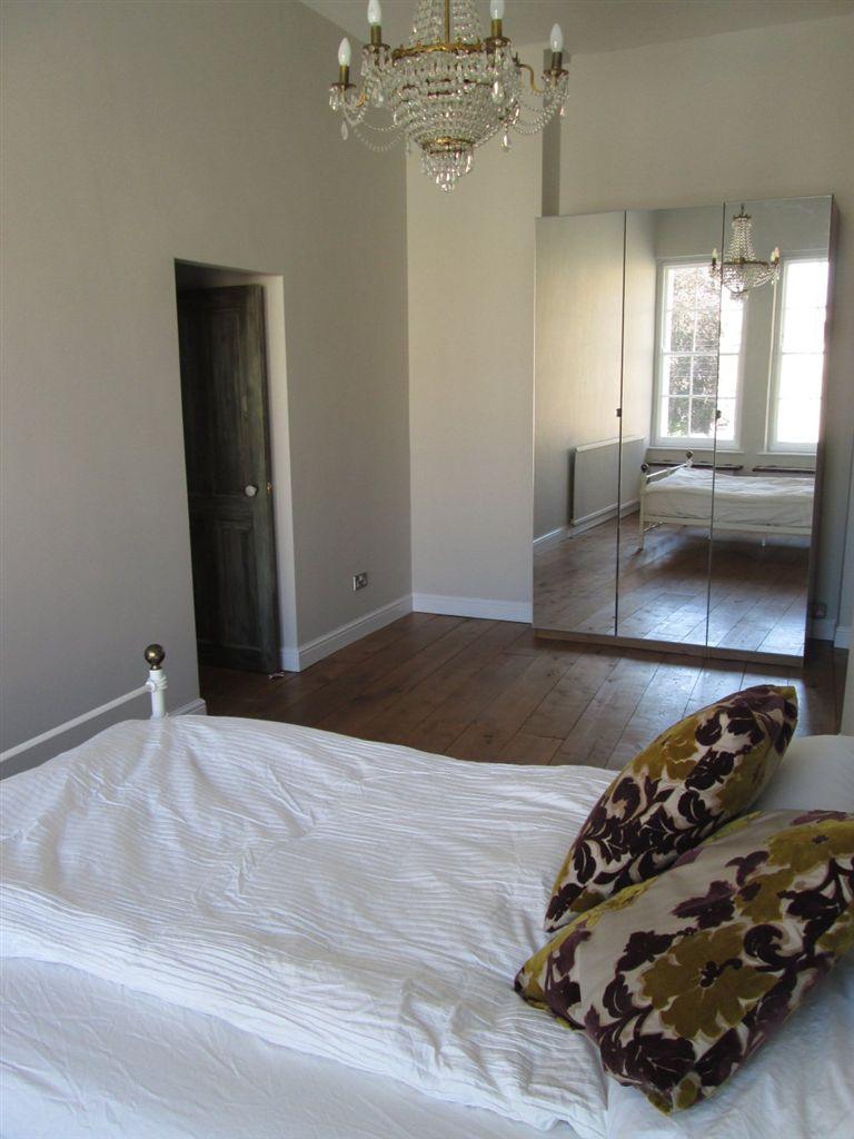
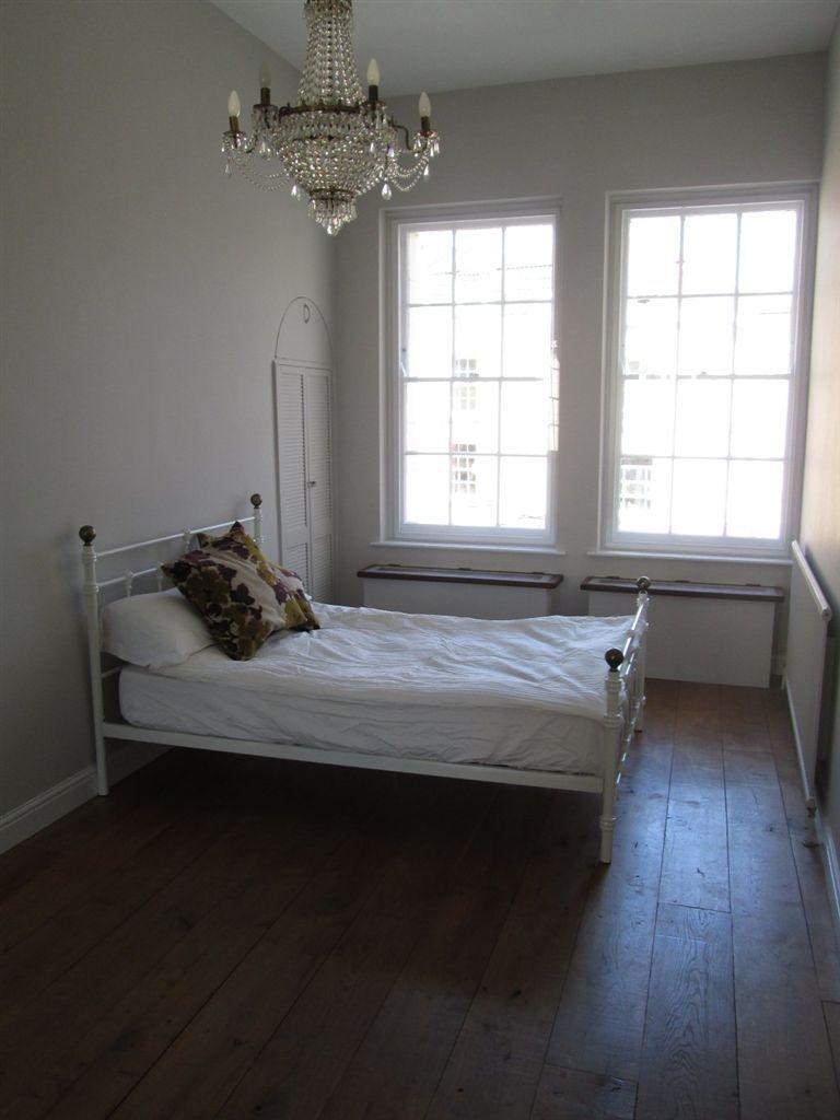
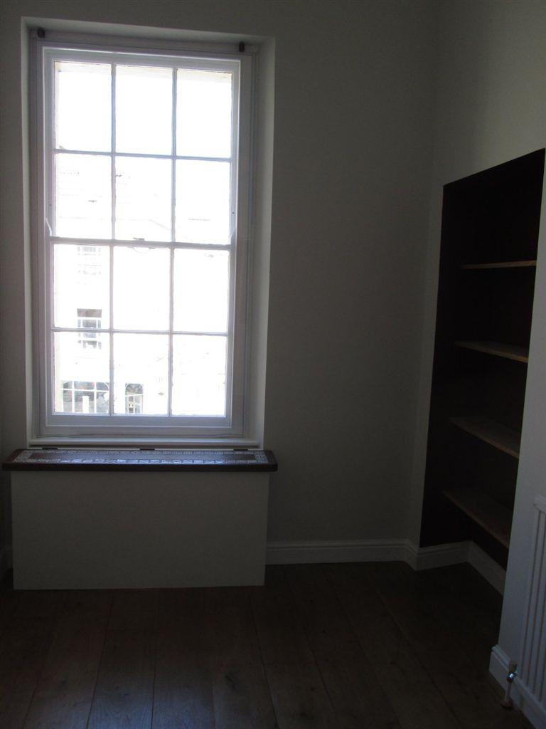
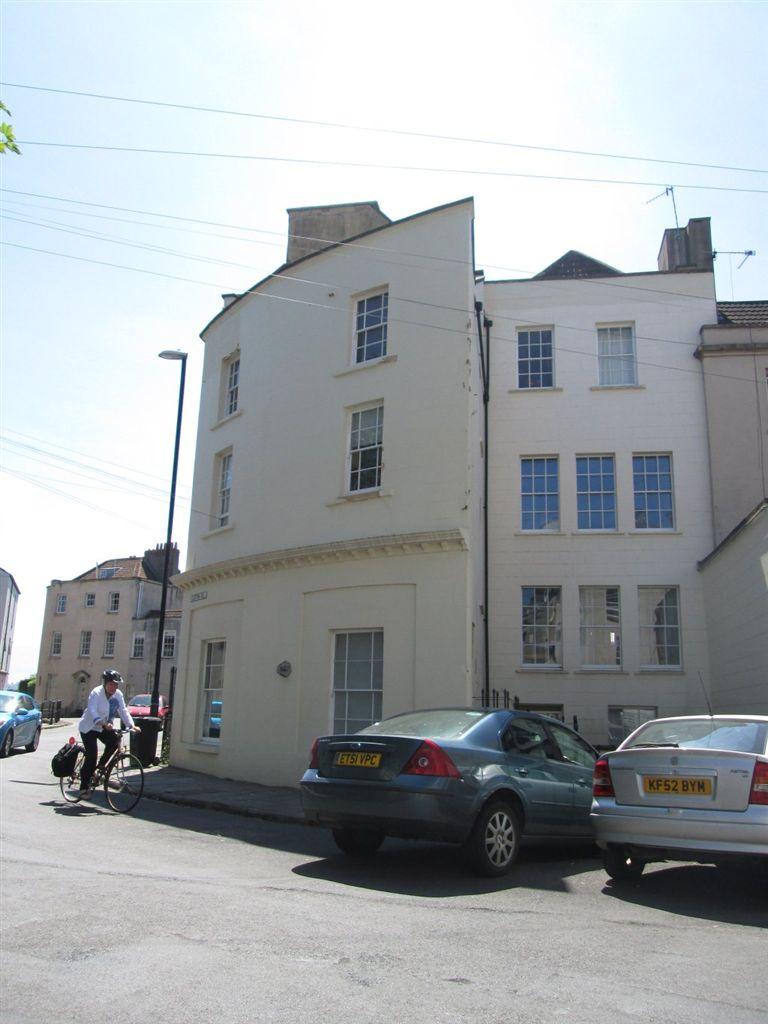
Photo 1 Photo 2 Photo 3 Photo 4 Photo 5 Photo 6 Photo 7 Photo 8 Photo 9 Photo 10 Photo 11 Photo 12 Photo 13
/ 13
Property details
Floor area
64 m²
EPC rating
D
Year built
England and Wales: 1900-1929
Deprivation
Decile 9 (29,616 of 33,755)
Street crime
992 incidents within 1 mile (Apr 2026)
Key features
- 2 Bedrooms
- Unfurnished Property
- 1 Bathroom
- Clifton
- 1 Reception
- Gas C/H
- Sharers considered
- Sorry, No Pets Allowed
Description
Listed by
Bristol
Bristol Residential Letting Co
Reference: 31011321
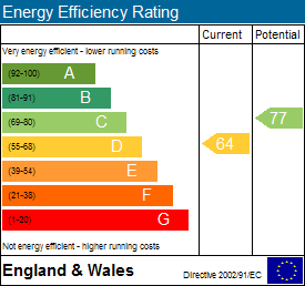
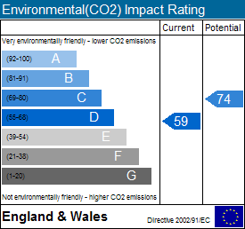
EPC Rating & Upgrade Cost
Current rating: D
Potential rating: B
Inspection date: 16/04/2018
Expiry date: 15/04/2028
Current heating cost: £408/year
Potential heating cost: £181/year
Recommendations
- 50 mm internal or external wall insulation (14,000)
- Add additional 80 mm jacket to hot water cylinder (30)
- Replace boiler with new condensing boiler (3,000)
- Replace single glazed windows with low-E double glazing (6,500)
Flood risk
Zone: 1
Risk: Low
Job (default Low)
EPC Graphs
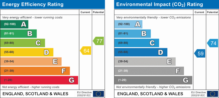
EPC 1
EPC 2
EPC 3
Company ownership
Registered legal owner is a company.
Rental Range
Estimated market rent for Bristol, City of. Low = conservative, Realistic = average, Optimistic = best case.
Based on Local Authority from postcode lookup → Bristol, City of.
LHA (30th percentile) floor for Bristol: £1,092/mo (Apr 2025 – Mar 2026)
Location
Nearby
Nearest stations, universities and amenities (distance from property).
| Type | Name | Distance |
|---|---|---|
| Hospital | The Chesterfield | 0.1 miles |
| Bus stop | Victoria Square (W-Bound) | 0.1 miles |
| Bus stop | Victoria Square | 0.1 miles |
| Shop | Fears | 0.2 miles |
| Shop | Sunshine Sketch.Art | 0.2 miles |
| University | 5 Priory Road, Life Sciences | 0.5 miles |
| Train station | SS Great Britain | 0.6 miles |
| Train station | Butterfly Junction | 0.6 miles |
| Hospital | South West Regional Laboratories | 0.7 miles |
| University | dBs Institute Bristol Campus | 1.1 miles |
Street-level crime
| Category | Count |
|---|---|
| Violence and sexual offences | 261 |
| Anti-social behaviour | 153 |
| Other theft | 106 |
| Shoplifting | 90 |
| Public order | 79 |
| Criminal damage and arson | 71 |
| Burglary | 61 |
| Vehicle crime | 60 |
| Robbery | 27 |
| Theft from the person | 25 |
| Bicycle theft | 24 |
| Drugs | 19 |
| Possession of weapons | 9 |
| Other crime | 7 |
| Total incidents | 992 |
Within 1 mile during Apr 2026. Source: data.police.uk (England & Wales).
Schools nearby
Nearest open schools with Ofsted ratings (England). Closed schools are not shown. Data from Get Information about Schools and Ofsted.
| Name | Type | Distance | Ofsted |
|---|---|---|---|
| Queen Elizabeth's Hospital | Other | 0.2 miles | — (No rating) |
| Christ Church Church of England Primary School | Primary | 0.2 miles | Outstanding — 18 Sep 2024 |
| Clifton High School | Other | 0.4 miles | — (No rating) |
| Hotwells Primary School | Primary | 0.4 miles | Good — 13 Nov 2022 |
| City of Bristol College | Other | 0.4 miles | — (No rating) |
Rental Comparables
Loading rental comparables for this postcode. Refresh in a few minutes.