32 LATEBROOK CLOSE
STOKE-ON-TRENT, STOKE-ON-TRENT ST6 5NL
£1,100 pcm
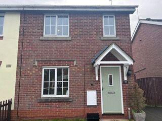
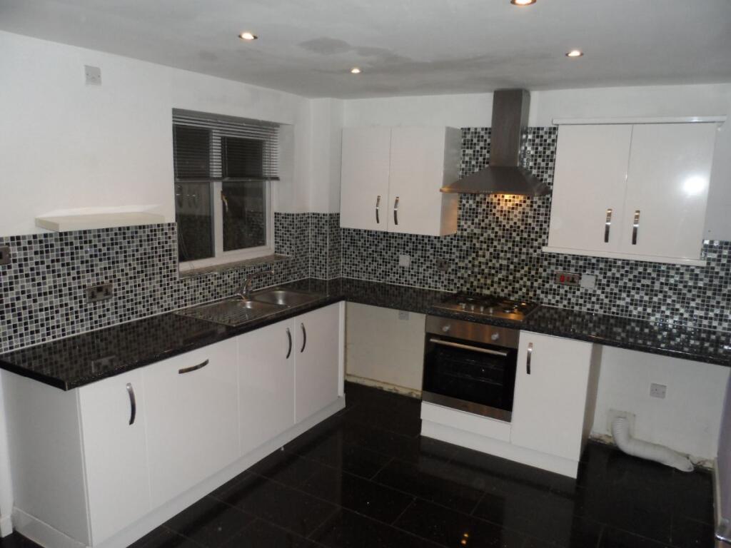
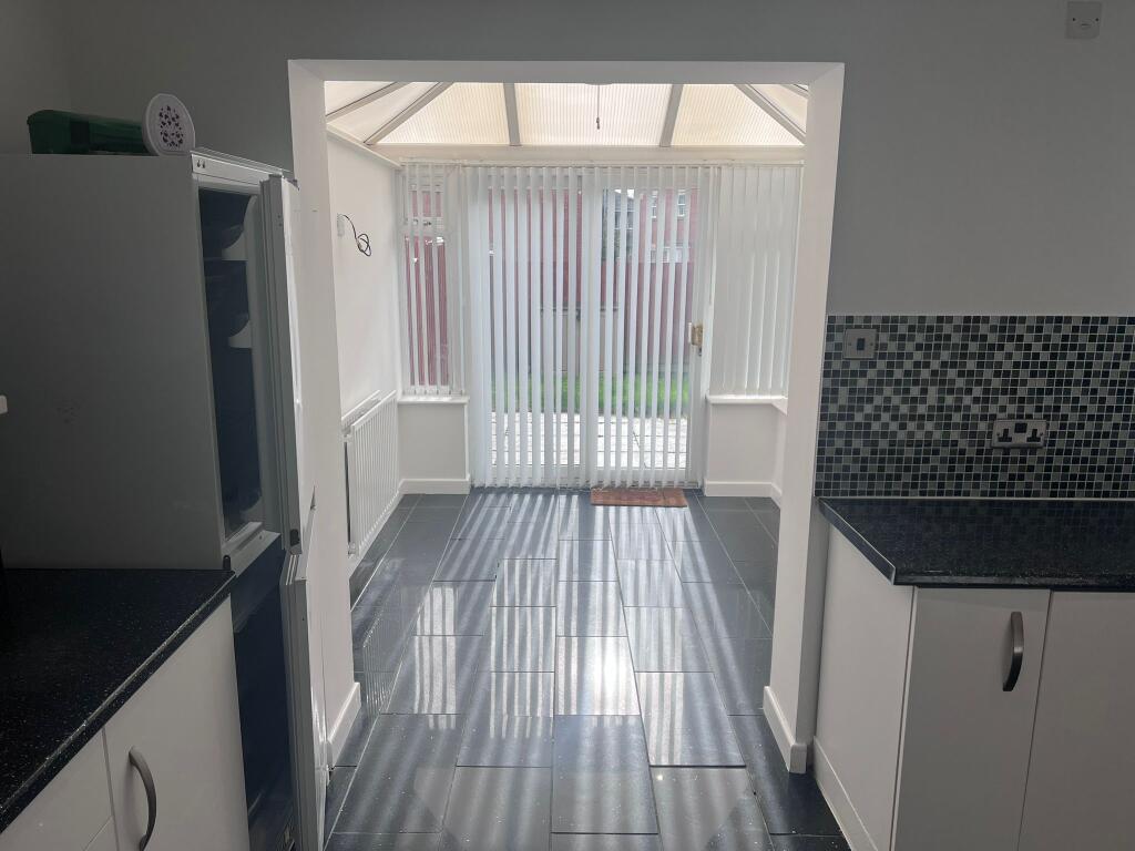
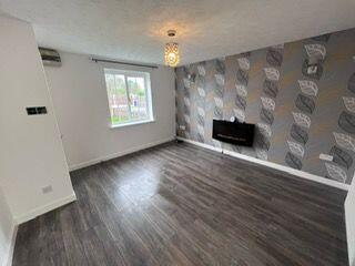
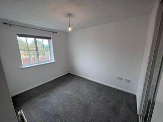
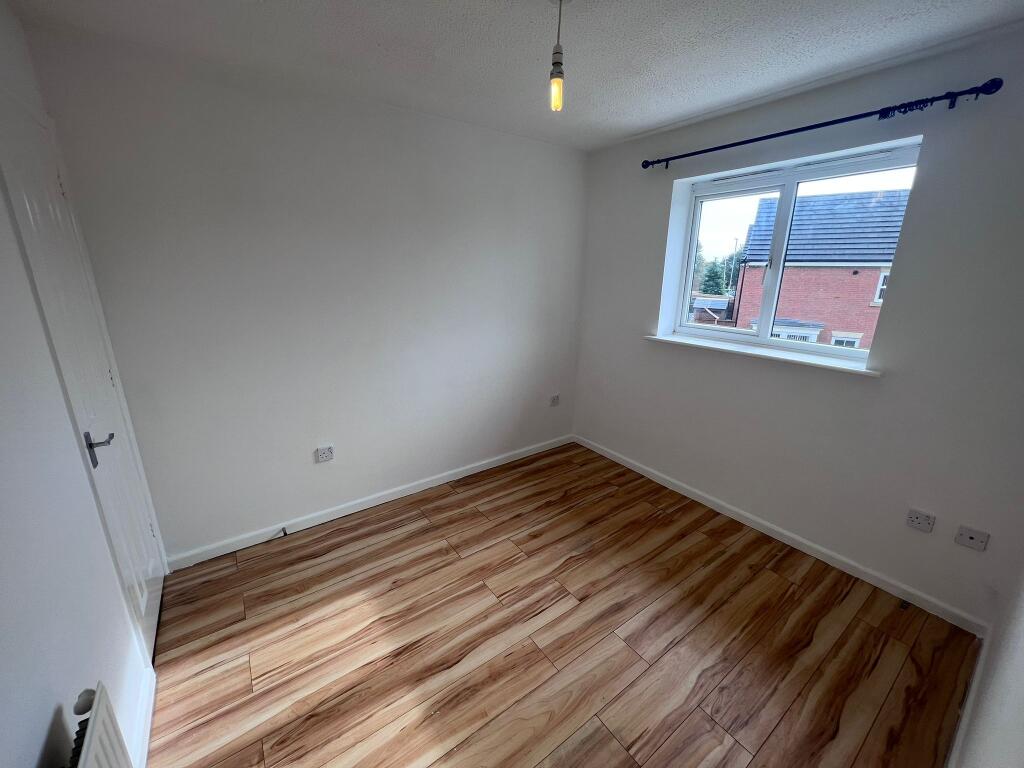
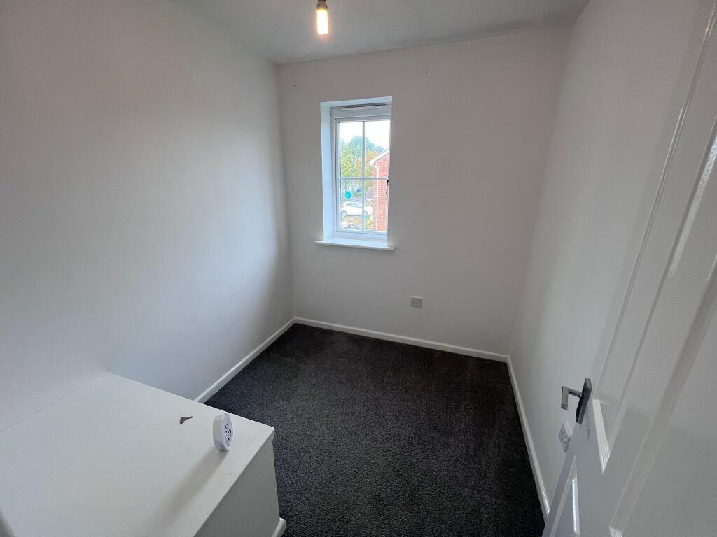
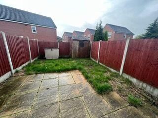
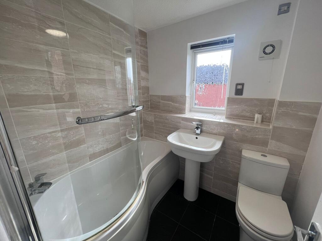
Photo 1 Photo 2 Photo 3 Photo 4 Photo 5 Photo 6 Photo 7 Photo 8 Photo 9
/ 9
Property details
Floor area
72 m²
Deprivation
Decile 2 (4,464 of 33,755)
Street crime
164 incidents within 1 mile (Aug 2026)
Key features
- 3 Bedrooms
- Allocated car parking space
- Close to local amenities
- Conservatory
- Cul-de-sac location
- Double Glazing
- Driveway
- Fitted Kitchen
- Gardens to the Front and Rear
- Good transport links
Additional details
- Parking
- Yes
- Garden
- Yes
- Listed property
- No
- Restrictions
- No
- Required access
- No
- Rights of way
- No
- Flooded in last 5 years
- No
- Flood defences
- No
Description
The accommodation is well designed and would be ideal for a professional couple or family alike.
Internally, the hallway leads to a nice lounge, which in turn flows through to a modern and spacious kitchen/diner and conservatory which itself looks over the rear garden. The staircase leads upstairs to a landing from which you can access the 3 bedrooms and modern bathroom.
Outside there is a small enclosed rear garden and a front driveway allowing off road-parking.
It is sure to tick a number of boxes for people so if you have any questions or would like to book a viewing, please do not hesitate to contact us.
Please note that in addition to paying the first month's rent upfront, the successful applicant will also have to pay a deposit which is equal to a months rent
Listed by
Leeds
Propertynest Estate Agents Ltd
Reference: 94558137
Flood risk
Zone: 1
Risk: Low
Job (default Low)
Registered land (INSPIRE)
This location falls inside an HM Land Registry INSPIRE registered freehold polygon.
Plot: ~11,232 m² (2.78 acres)
Source: HM Land Registry INSPIRE Index Polygons.
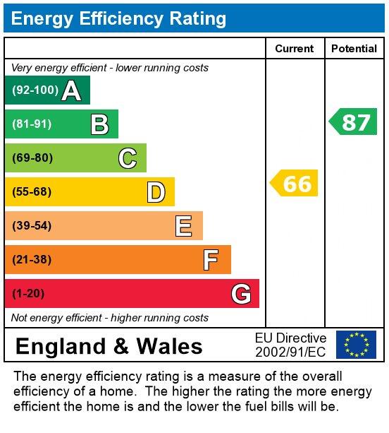
EPC Graphs
EPC
Rental Range
Estimated market rent for Stoke-on-Trent. Low = conservative, Realistic = average, Optimistic = best case.
Based on Local Authority from postcode lookup → Stoke-on-Trent.
LHA (30th percentile) floor for Staffordshire North: £593/mo (Apr 2025 – Mar 2026)
Location
Nearby
Nearest stations, universities and amenities (distance from property).
| Type | Name | Distance |
|---|---|---|
| Shop | JAG Tool Hire | 0.1 miles |
| Shop | Rococco Hair Studio | 0.1 miles |
| Bus stop | Red Lion | 0.1 miles |
| Bus stop | Woodstock Street | 0.2 miles |
| Train station | Kidsgrove | 1.1 miles |
| Hospital | Haywood Hospital Walk-in Centre | 2.0 miles |
| Train station | Longport | 2.5 miles |
| Hospital | Royal Stoke University Hospital | 5.2 miles |
| University | Keele University | 5.6 miles |
| University | University of Buckingham Crewe Campus | 8.3 miles |
Street-level crime
| Category | Count |
|---|---|
| Violence and sexual offences | 54 |
| Anti-social behaviour | 44 |
| Criminal damage and arson | 19 |
| Shoplifting | 9 |
| Other crime | 8 |
| Public order | 8 |
| Drugs | 5 |
| Other theft | 4 |
| Vehicle crime | 4 |
| Bicycle theft | 3 |
| Burglary | 3 |
| Possession of weapons | 2 |
| Robbery | 1 |
| Total incidents | 164 |
Within 1 mile during Aug 2026. Source: data.police.uk (England & Wales).
Schools nearby
Nearest open schools with Ofsted ratings (England). Closed schools are not shown. Data from Get Information about Schools and Ofsted.
| Name | Type | Distance | Ofsted |
|---|---|---|---|
| Goldenhill Primary Academy | Primary | 0.2 miles | Good — 4 Dec 2023 |
| St Joseph's Catholic Academy, Goldenhill | Primary | 0.4 miles | Good — 15 May 2015 |
| Star Academy, Sandyford | Primary | 0.5 miles | Good — 9 Nov 2022 |
| St Thomas' CofE Primary Academy | Primary | 0.6 miles | Good — 5 Jan 2020 |
| St John the Evangelist Catholic Primary | Primary | 0.9 miles | Good — 11 Sep 2015 |
Rental Comparables
Residential lets from OpenRent and Rightmove for the area (same bedroom count). Use to validate rent estimates. Student lets are excluded.
Average rent: £887/mo (30 listings)