3 GREYFRIARS
CHESTER, CHESHIRE WEST AND CHESTER CH1 2NW
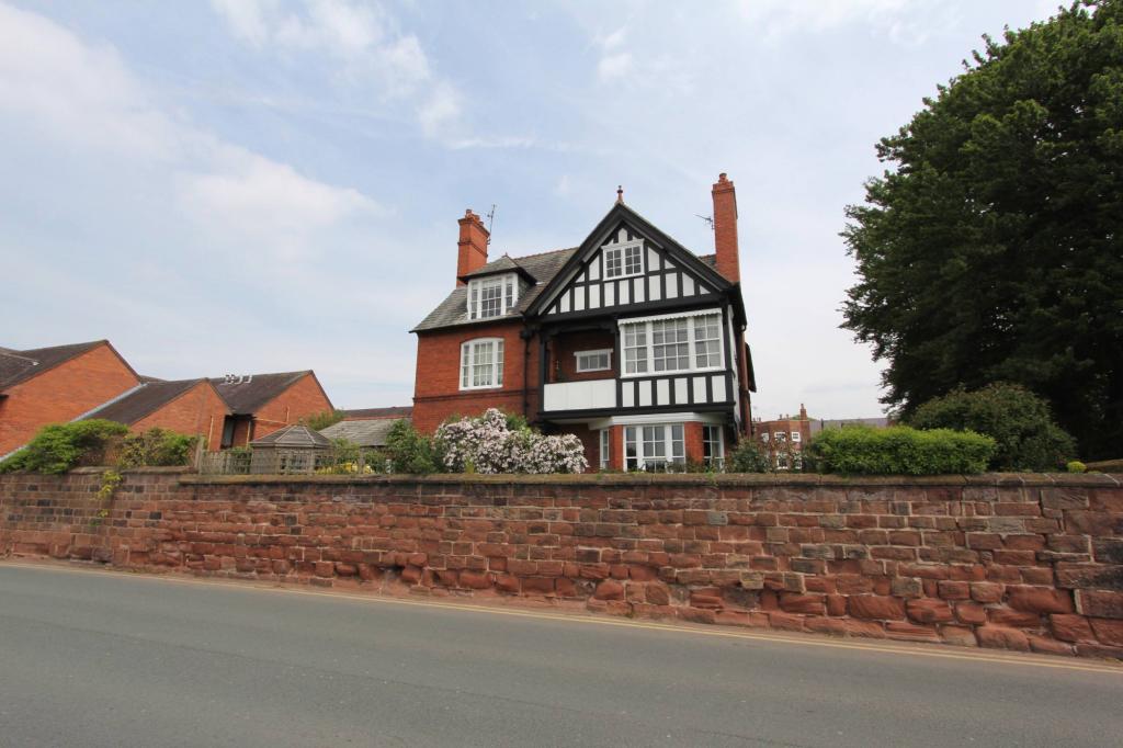
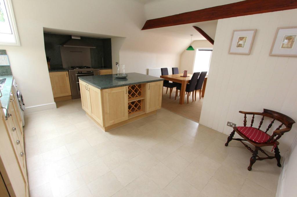
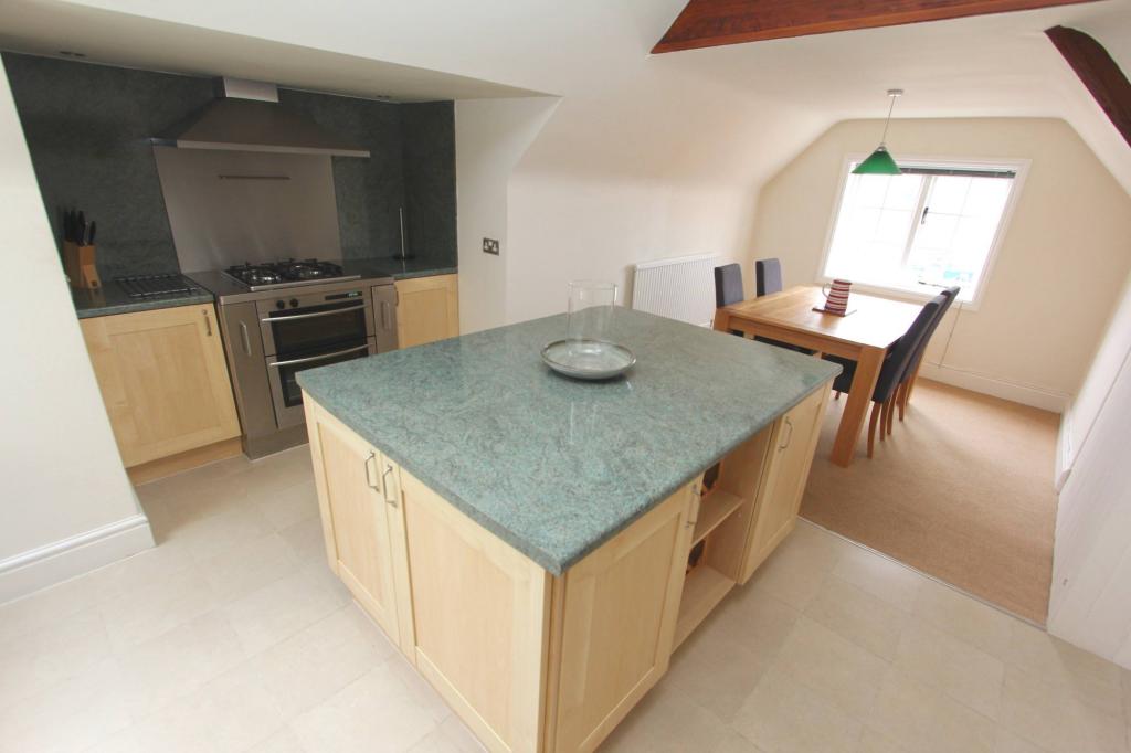
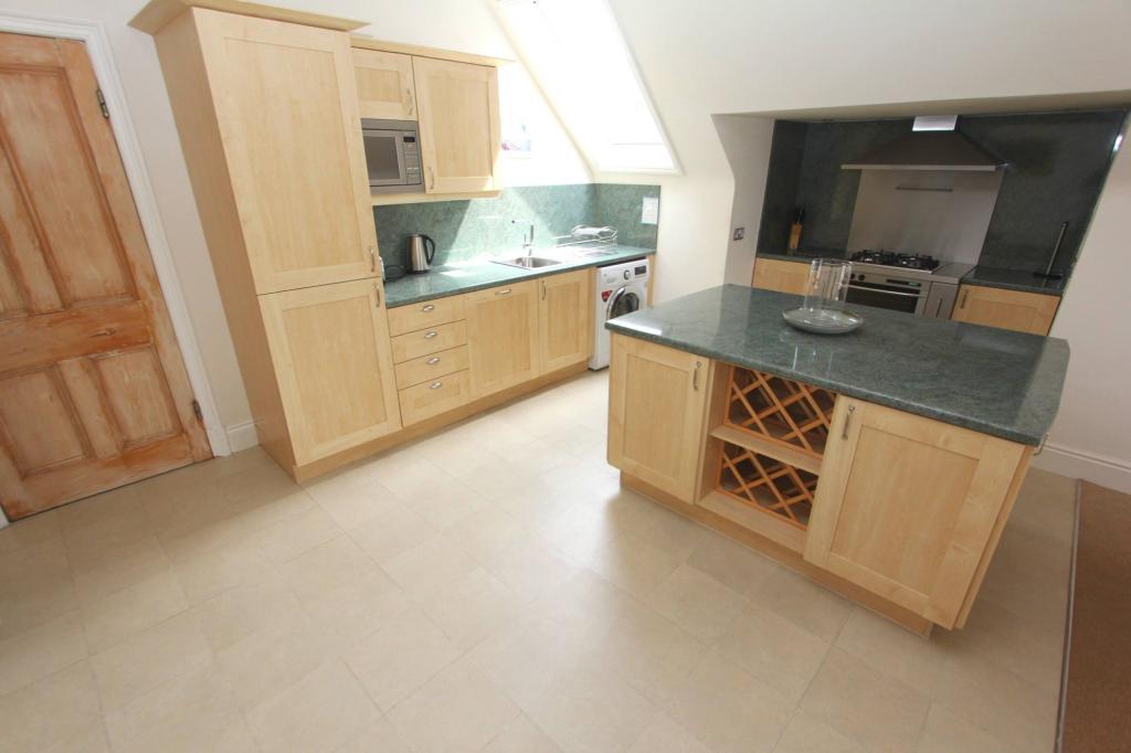
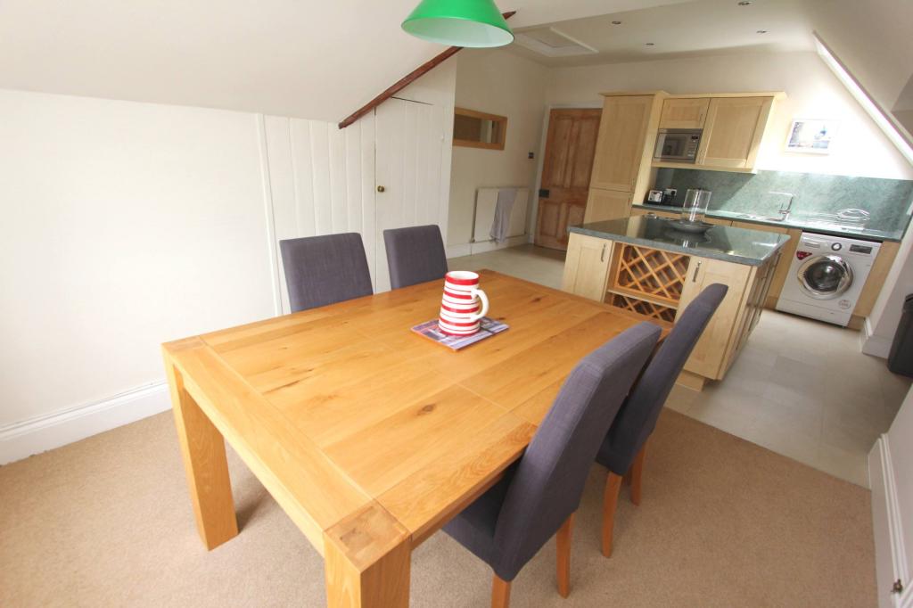
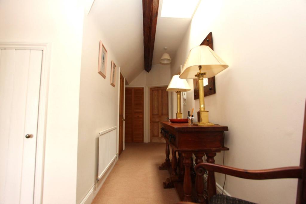
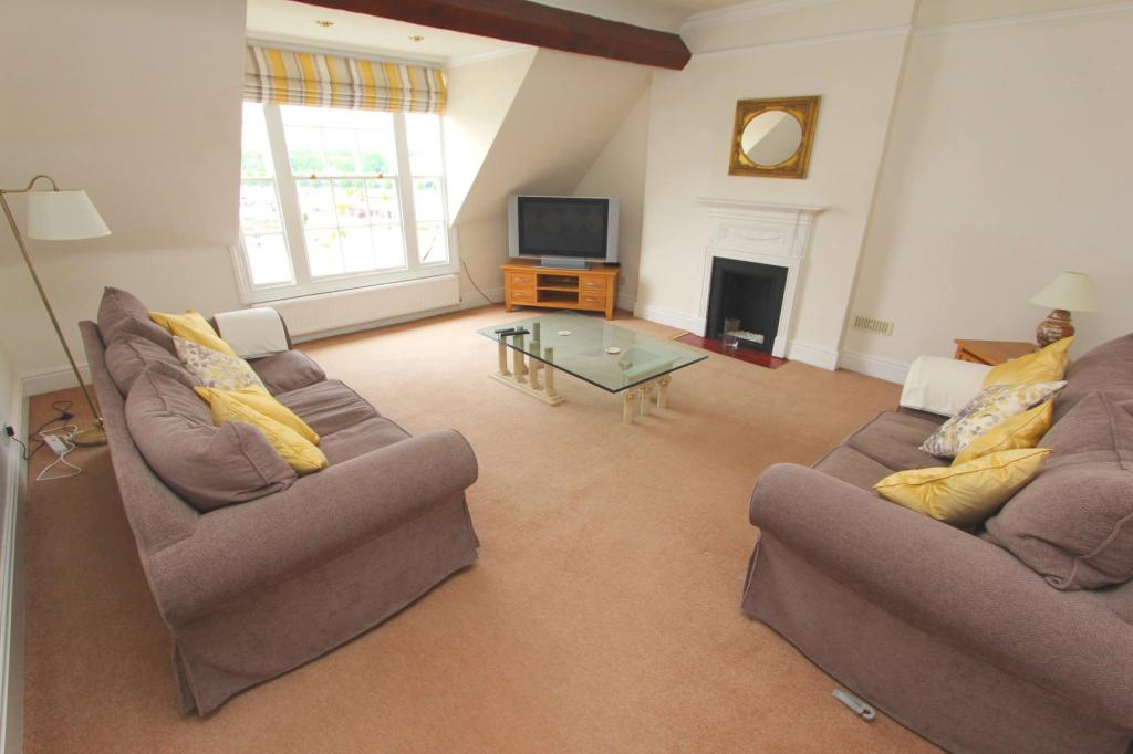
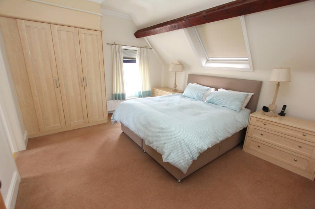
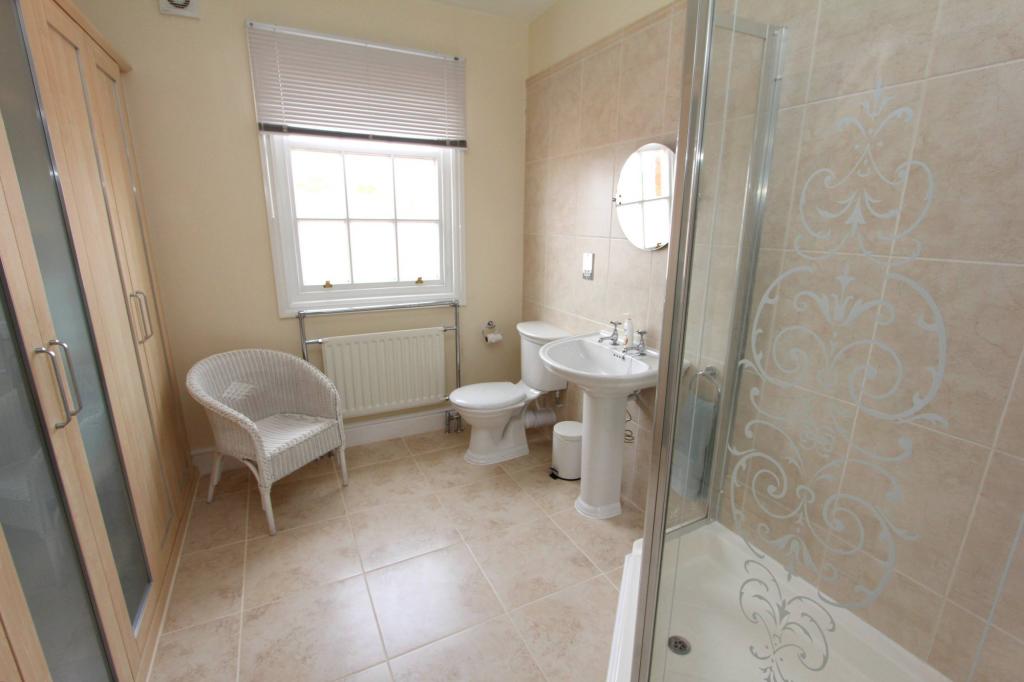
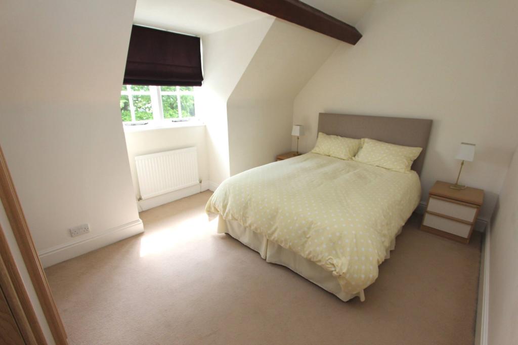
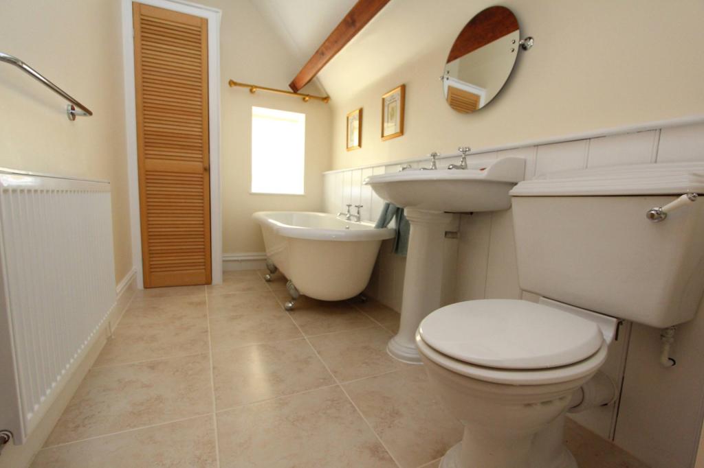
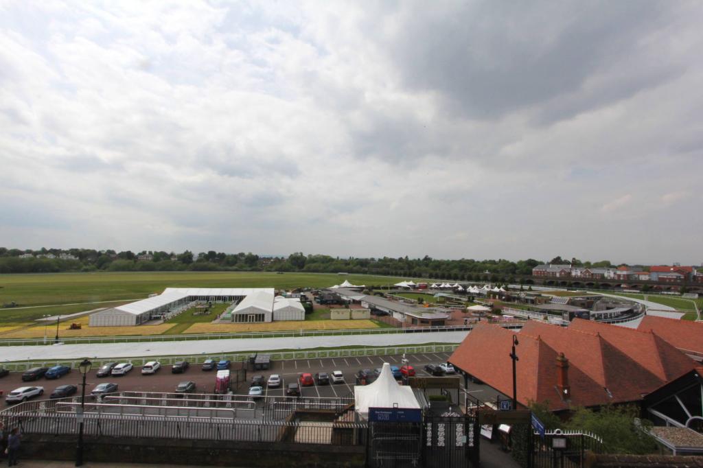
Photo 1 Photo 2 Photo 3 Photo 4 Photo 5 Photo 6 Photo 7 Photo 8 Photo 9 Photo 10 Photo 11 Photo 12
/ 12
Property details
Floor area
59 m²
EPC rating
C
Year built
England and Wales: 1900-1929
Street crime
406 incidents within 1 mile (Mar 2026)
Key features
- Spacious lounge
- Highly sought after location
- Fitted kitchen
- Close to City Centre
- Fully furnished
- Character property
- Top Floor Apartment
- Well-presented throughout
Additional details
- Parking
- Yes
Description
Listed by
Chester
CLS ESTATES
Reference: 74522957
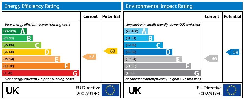
EPC Rating & Upgrade Cost
Current rating: C
Potential rating: C
Inspection date: 03/06/2025
Current heating cost: £556/year
Potential heating cost: £332/year
Est. upgrade cost to C: £18,900
Recommendations
- 50 mm internal or external wall insulation (£4,000 - £14,000)
- Floor insulation (solid floor) (£4,000 - £6,000)
- Replace single glazed windows with low-E double glazing (£3,300 - £6,500)
Flood risk
Zone: 1
Risk: Low
Job (default Low)
Floorplans
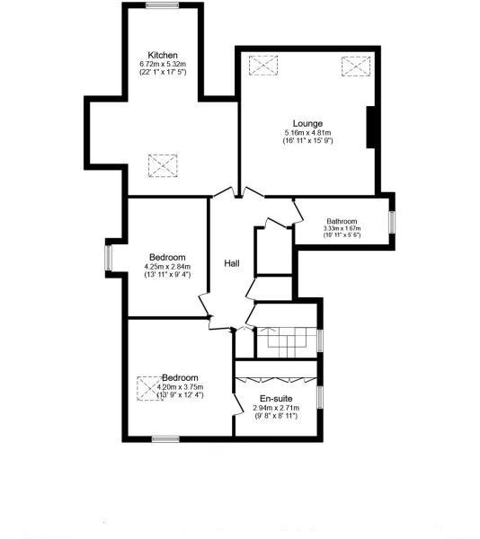
Floorplan 1
EPC Graphs
EPC Graph
Rental Range
Estimated market rent for Cheshire West and Chester. Low = conservative, Realistic = average, Optimistic = best case.
Based on Local Authority from postcode lookup → Cheshire West and Chester.
Location
Nearby
Nearest stations, universities and amenities (distance from property).
| Type | Name | Distance |
|---|---|---|
| Bus stop | Chester, Watergate Street / Nicholas Street Mews | 0.1 miles |
| Bus stop | Chester, Nicholas Street / Black Friars Coach Stop | 0.1 miles |
| Shop | Laser Me | 0.1 miles |
| Shop | Hair 77 | 0.1 miles |
| Train station | Grosvenor Park Miniature Railway | 0.7 miles |
| University | University of Chester | 0.8 miles |
| Train station | Chester | 0.9 miles |
| Hospital | The Mulberry Centre | 1.3 miles |
| University | University of Chester - Kingsway | 1.6 miles |
| Hospital | Tarporley War Memorial Hospital | 9.7 miles |
Street-level crime
| Category | Count |
|---|---|
| Violence and sexual offences | 146 |
| Shoplifting | 66 |
| Drugs | 52 |
| Public order | 44 |
| Anti-social behaviour | 33 |
| Other theft | 24 |
| Criminal damage and arson | 19 |
| Burglary | 7 |
| Bicycle theft | 4 |
| Possession of weapons | 4 |
| Vehicle crime | 3 |
| Other crime | 2 |
| Theft from the person | 2 |
| Total incidents | 406 |
Within 1 mile during Mar 2026. Source: data.police.uk (England & Wales).
Schools nearby
Nearest open schools with Ofsted ratings (England). Closed schools are not shown. Data from Get Information about Schools and Ofsted.
| Name | Type | Distance | Ofsted |
|---|---|---|---|
| The Queen's School | Other | 0.2 miles | — (No rating) |
| Abbey School for Exceptional Children | Other | 0.4 miles | Good — 16 Oct 2022 |
| Chester International School | Secondary | 0.5 miles | Good — 28 Mar 2022 |
| Queen's Park High School | Secondary | 0.5 miles | Good — 22 Jan 2020 |
| The Grosvenor Park Church of England Academy | Primary | 0.5 miles | Good — 8 Mar 2023 |
Rental Comparables
Residential lets from OpenRent and Rightmove for the area (same bedroom count). Use to validate rent estimates. Student lets are excluded.
| Title | Rent | Beds | Distance | As seen on |
|---|---|---|---|---|
| 2 Bed Flat, Chester, CH1 | £1,900/mo | 2 | 0.19 miles | OpenRent |
Average rent: £1,900/mo (1 listing)