15 SPENCER STREET
MANSFIELD, NOTTINGHAMSHIRE NG18 5LR
£695 pcm
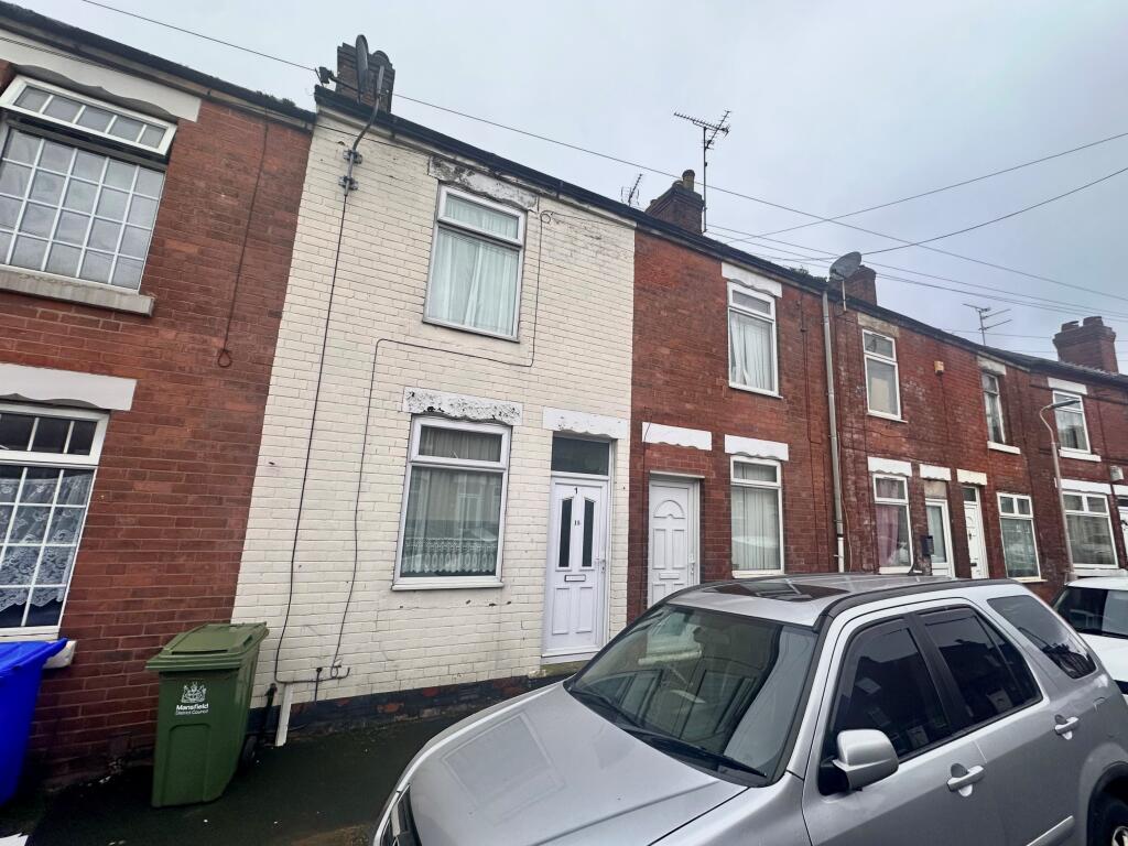
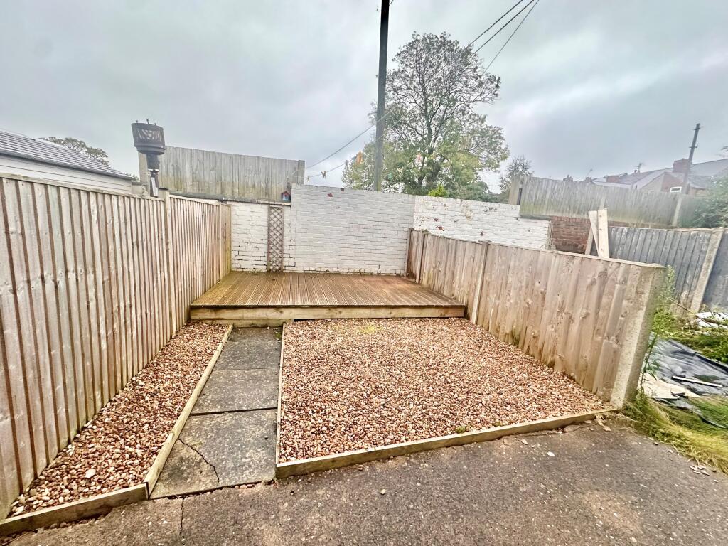
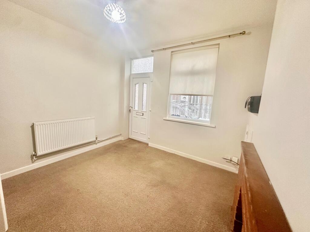
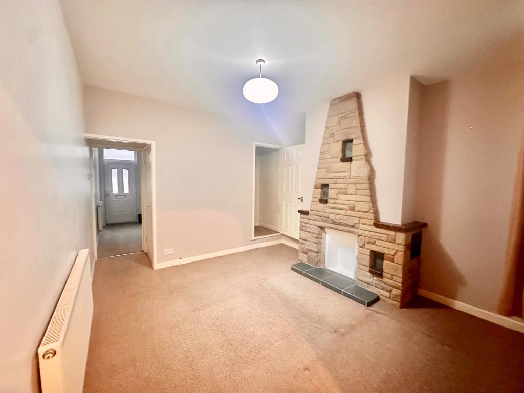
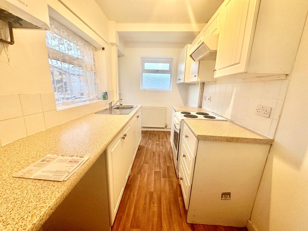
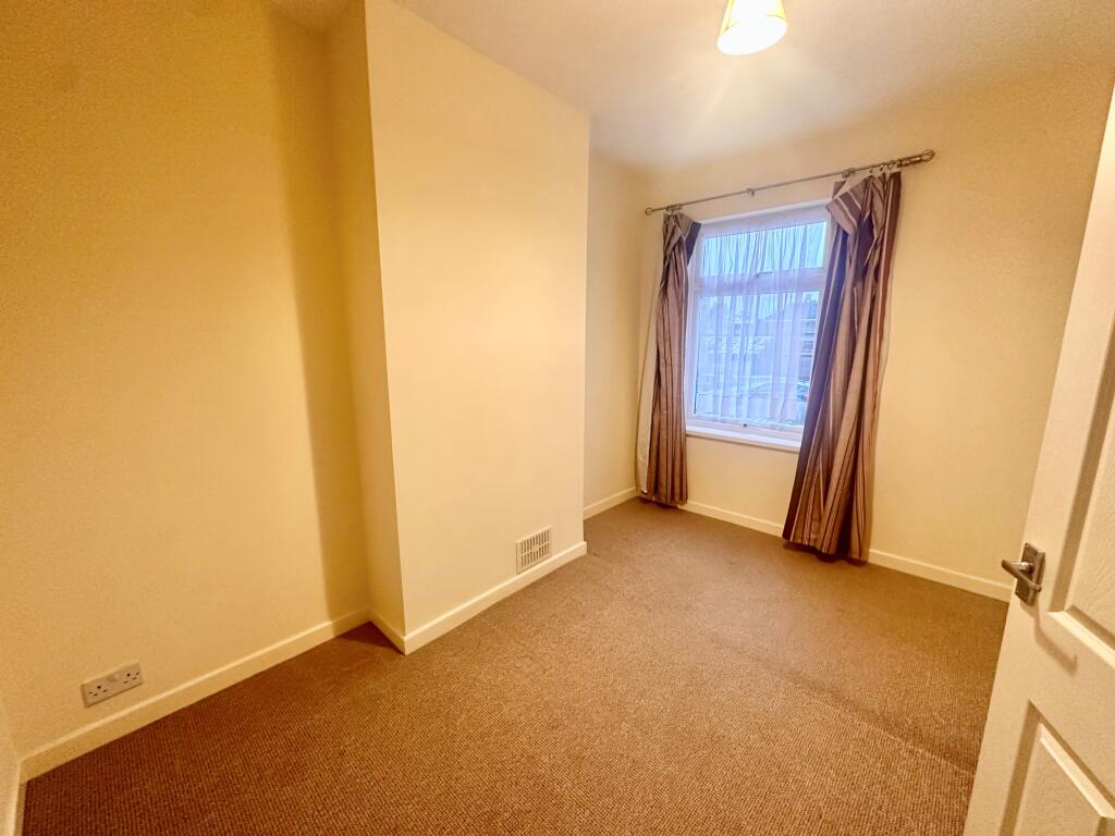
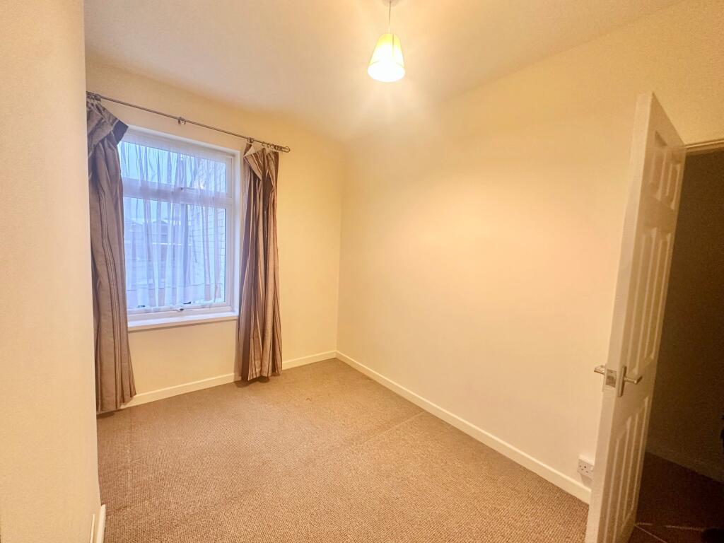
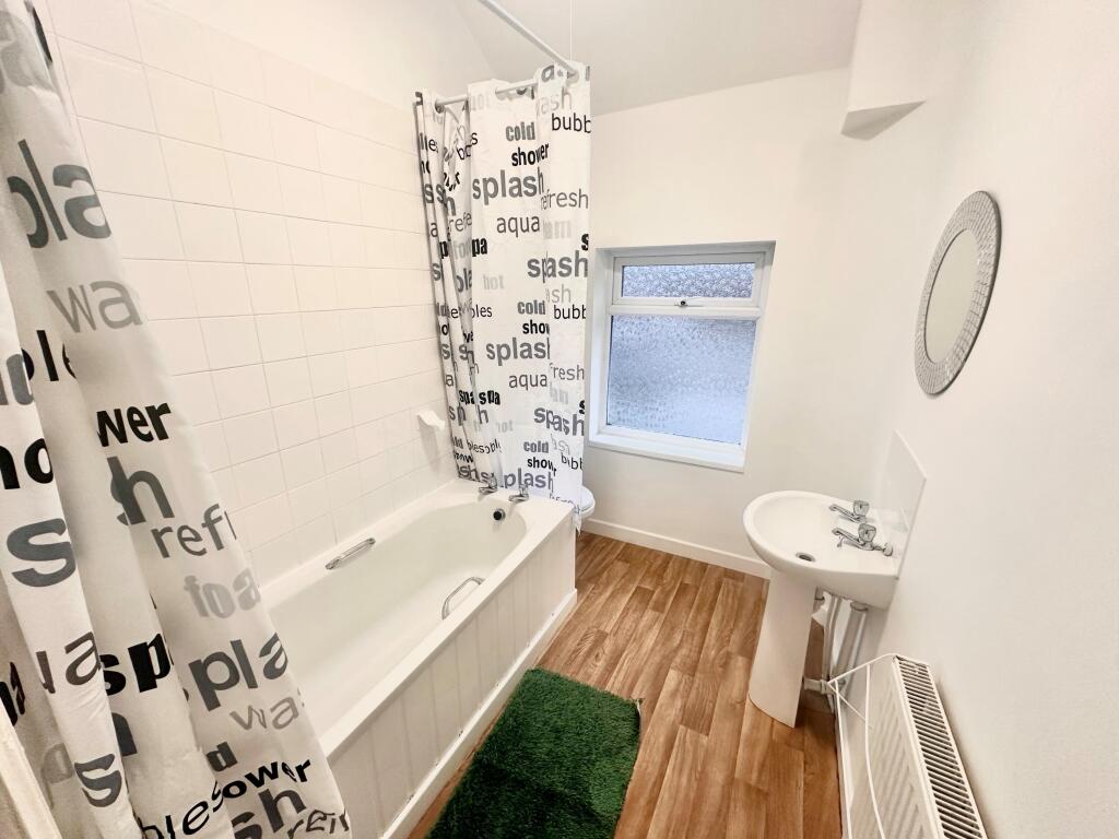
Photo 1 Photo 2 Photo 3 Photo 4 Photo 5 Photo 6 Photo 7 Photo 8
/ 8
Property details
Floor area
67 m²
Council tax band
A
EPC rating
C
Year built
England and Wales: 1900-1929
Deprivation
Decile 1 (1,958 of 33,755)
Street crime
562 incidents within 1 mile (Apr 2026)
Key features
- Two Bedrooms
- Close to Town Centre
- Easy Maintenance Garden
- Two Reception Rooms
- Neutrally Decorated
- Ready to Move into
Additional details
- Heating
- Gas central
- Parking
- On street
- Garden
- Private garden
Description
Listed by
Mansfield
The Property Franchise Group
Reference: 141500843
EPC Rating & Upgrade Cost
Current rating: C
Potential rating: B
Inspection date: 15/11/2023
Current heating cost: £1,082/year
Potential heating cost: £840/year
Est. upgrade cost to C: £18,500
Recommendations
- 50 mm internal or external wall insulation (£4,000 - £14,000)
- Solar water heating (£4,000 - £6,000)
- Solar photovoltaic panels, 2.5 kWp (£3,500 - £5,500)
Flood risk
Zone: 1
Risk: Low
Job (default Low)
Floorplans
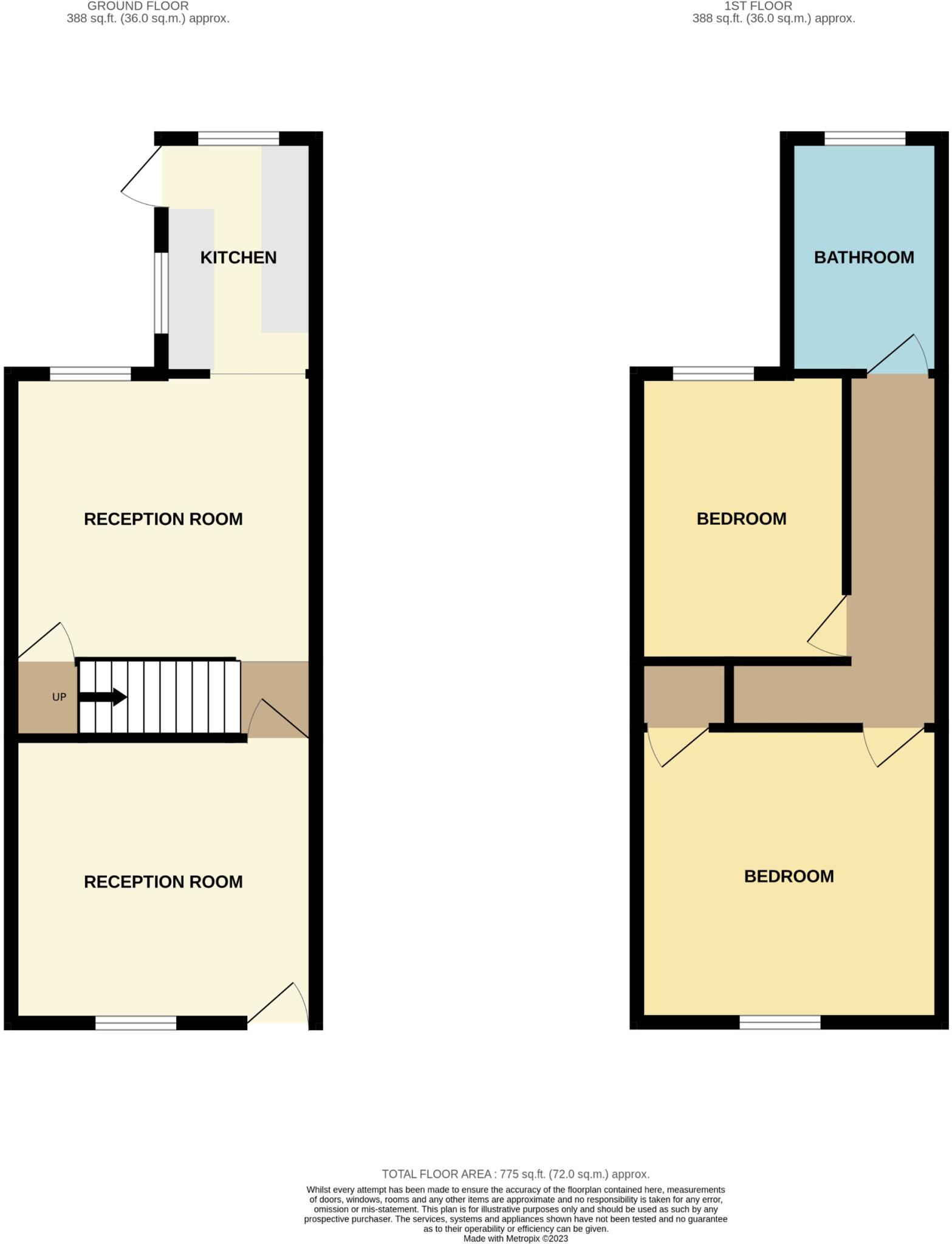
Floorplan
EPC Graphs

EPC Certificate

EPC Certificate
Rental Range
Estimated market rent for Mansfield. Low = conservative, Realistic = average, Optimistic = best case.
Based on Local Authority from postcode lookup → Mansfield.
LHA (30th percentile) floor for North Nottingham: £549/mo (Apr 2025 – Mar 2026)
Location
Nearby
Nearest stations, universities and amenities (distance from property).
| Type | Name | Distance |
|---|---|---|
| Bus stop | Community Hospital | 0.1 miles |
| Shop | Unknown | 0.1 miles |
| Shop | NOT Motors | 0.1 miles |
| Hospital | Mansfield Community Hospital | 0.1 miles |
| Train station | Mansfield | 0.4 miles |
| Hospital | Kings Mill Hospital | 1.2 miles |
| Train station | Mansfield Woodhouse | 1.5 miles |
| University | Nottingham Trent University Vision University Centre | 1.7 miles |
| University | Clinical Sciences | 10.6 miles |
Street-level crime
| Category | Count |
|---|---|
| Violence and sexual offences | 188 |
| Shoplifting | 87 |
| Anti-social behaviour | 80 |
| Criminal damage and arson | 39 |
| Public order | 38 |
| Vehicle crime | 36 |
| Other theft | 30 |
| Drugs | 21 |
| Burglary | 12 |
| Possession of weapons | 11 |
| Robbery | 11 |
| Other crime | 7 |
| Theft from the person | 2 |
| Total incidents | 562 |
Within 1 mile during Apr 2026. Source: data.police.uk (England & Wales).
Schools nearby
Nearest open schools with Ofsted ratings (England). Closed schools are not shown. Data from Get Information about Schools and Ofsted.
| Name | Type | Distance | Ofsted |
|---|---|---|---|
| Sutton Road Primary School | Primary | 0.2 miles | Good — 14 Jun 2012 |
| St Philip Neri With St Bede Catholic Voluntary Academy | Primary | 0.5 miles | Good — 31 Oct 2012 |
| Wainwright Primary Academy | Primary | 0.6 miles | Good — 19 Sep 2023 |
| Intake Farm Primary School | Primary | 0.6 miles | Good — 16 Feb 2018 |
| R.E.A.L. Independent Schools Mansfield | Other | 0.7 miles | Good — 2 May 2024 |
Rental Comparables
Rental listings exist nearby, but none matched the 2-bedroom count for this property.