34 HIGHAM GREEN
KING'S LYNN, KING'S LYNN, NORFOLK PE30 4RX
£950 pcm
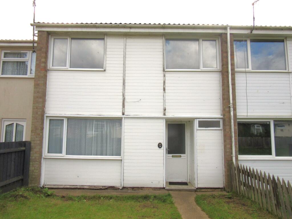
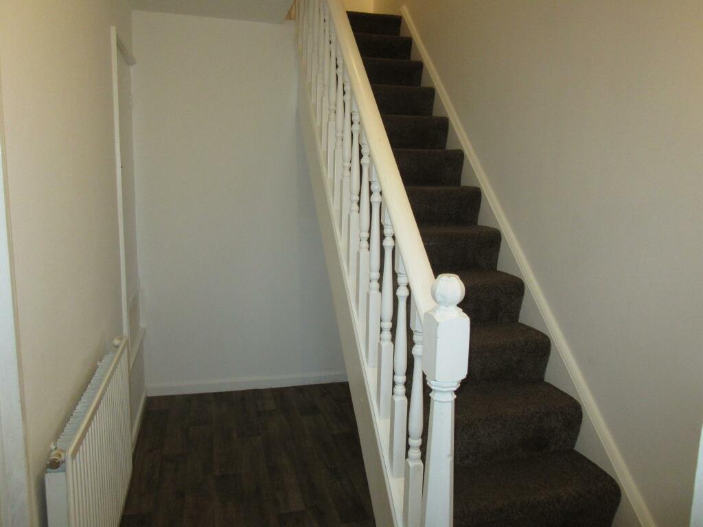
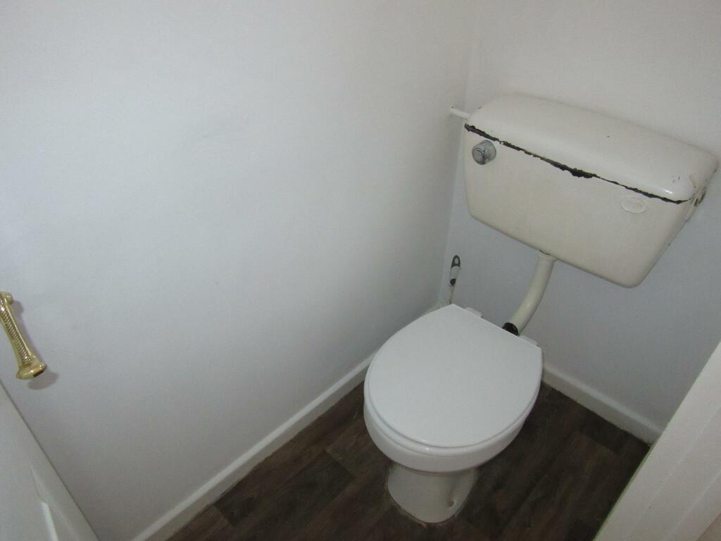
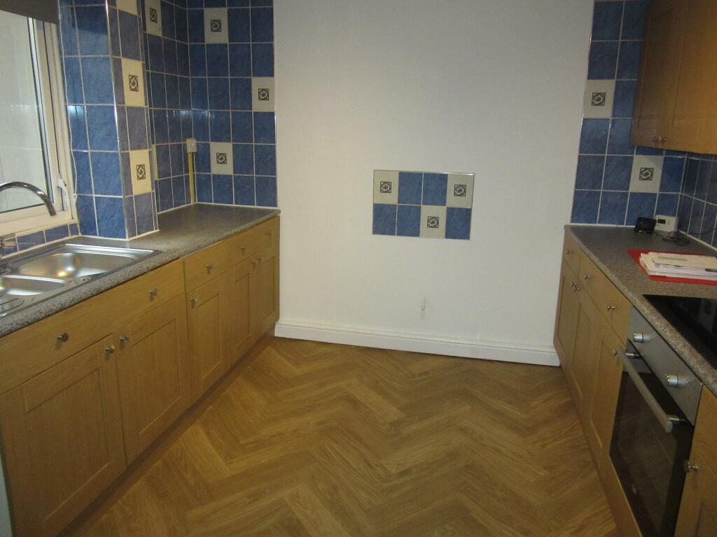
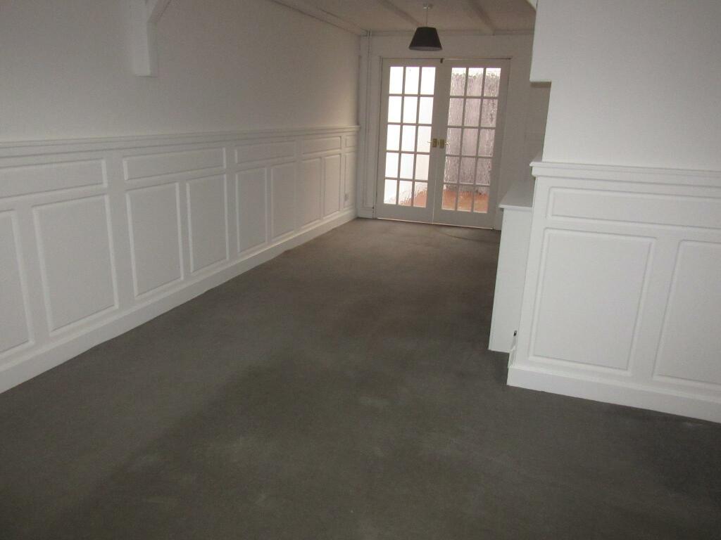
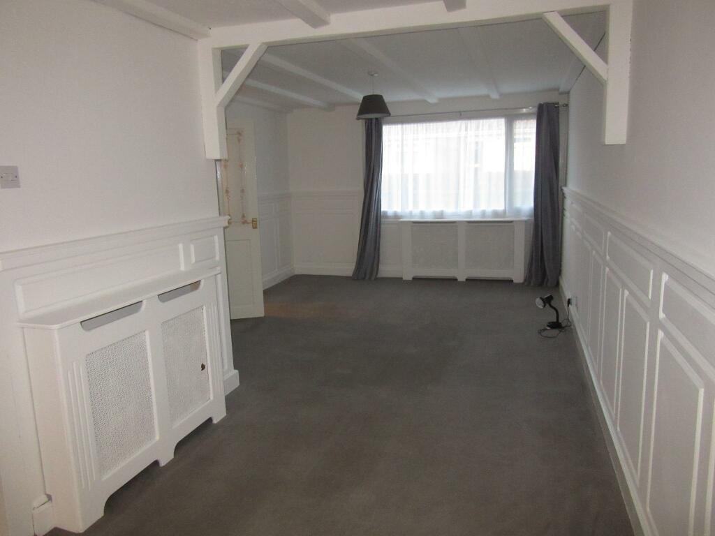
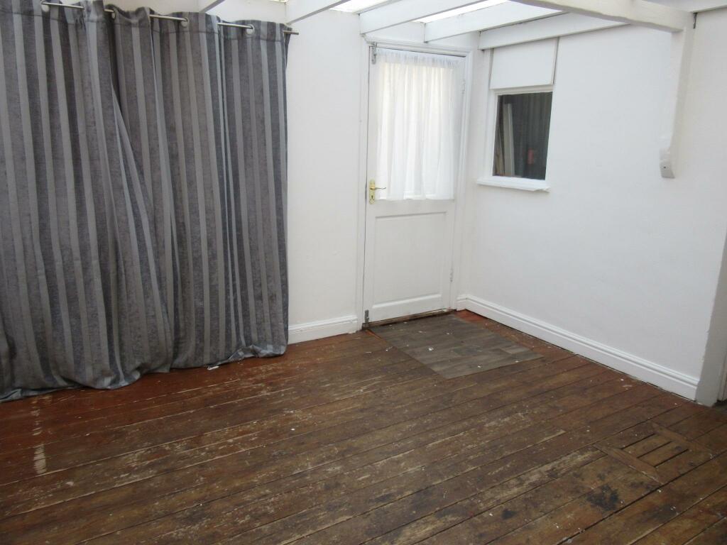
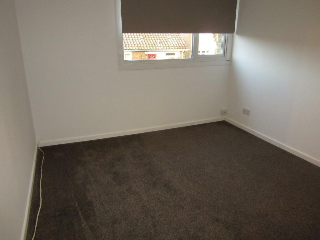
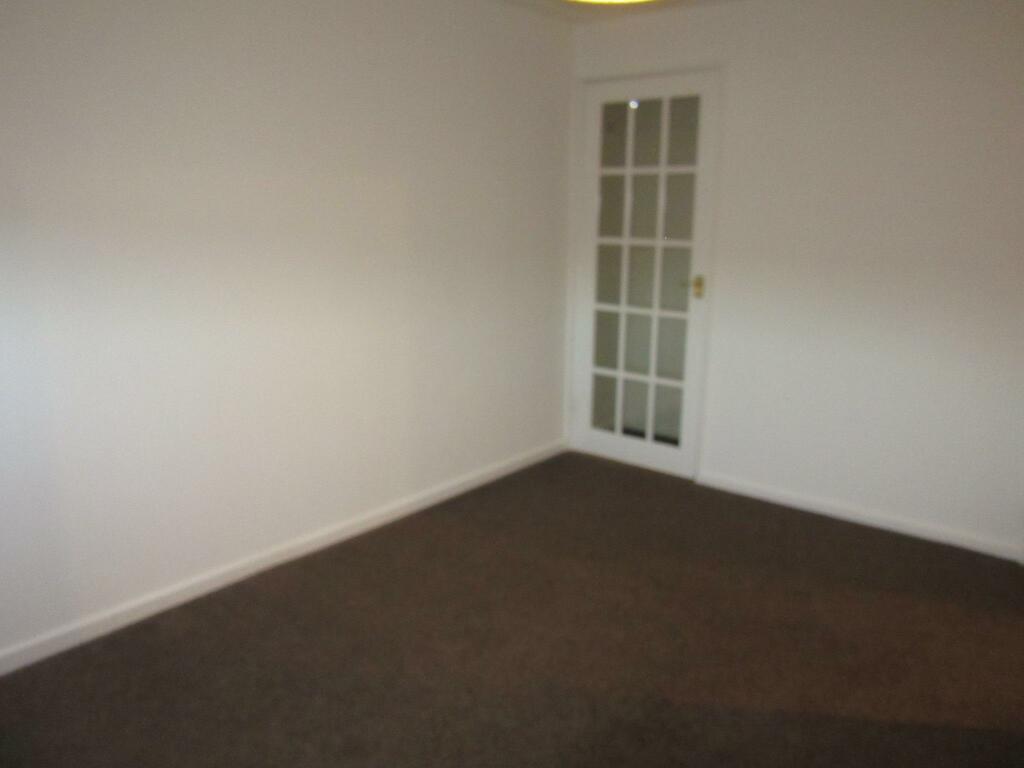
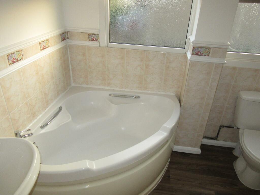
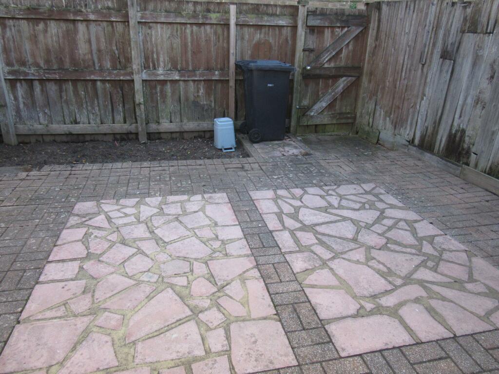
Photo 1 Photo 2 Photo 3 Photo 4 Photo 5 Photo 6 Photo 7 Photo 8 Photo 9 Photo 10 Photo 11
/ 11
Property details
Floor area
104 m²
Council tax band
A
Deprivation
Decile 2 (4,752 of 33,755)
Street crime
148 incidents within 1 mile (Apr 2026)
Key features
- Lounge diner
- Modern fitted kitchen
- Easy reach of the Queen Elizabeth hospita
- Cloakroom
- Three bedrooms
- Conservatory
- Gas central heating
- Off road parking
Additional details
- Heating
- Gas central
- Parking
- Yes
- Garden
- Private garden
- Listed property
- No
Description
Having undergone refurbishment, the property comprises an entrance hallway, full-length lounge/dining area, modern
fitted kitchen with space for washing machine and fridge freezer, a small rear conservatory and cloakroom. Upstairs are three
good sized bedrooms, the two largest with storage, and a bathroom with corner bath. With ample storage throughout, the property also benefits from gas central heating, double glazing, small front and rear gardens and off road parking.
Call today to view. EPC rating: D.
Listed by
Kings Lynn
The Property Franchise Group
Reference: 154401521
EPC Rating & Upgrade Cost
Fetching EPC data… Refresh this page in a moment.
Flood risk
Zone: 1
Risk: Low
Job (default Low)
EPC Graphs

EPC Certificate
Rental Range
Estimated market rent for King's Lynn and West Norfolk. Low = conservative, Realistic = average, Optimistic = best case.
Based on Local Authority from postcode lookup → King's Lynn and West Norfolk.
LHA (30th percentile) floor for Kings Lynn: £773/mo (Apr 2025 – Mar 2026)
Location
Nearby
Nearest stations, universities and amenities (distance from property).
| Type | Name | Distance |
|---|---|---|
| Bus stop | Fernlea Road, adj | 0.1 miles |
| Shop | Unknown | 0.1 miles |
| Bus stop | Brockley Green, adj | 0.1 miles |
| Hospital | Queen Elizabeth Hospital | 0.7 miles |
| Shop | Sunrise Blinds | 0.7 miles |
| Train station | King's Lynn | 1.3 miles |
| Train station | Watlington | 5.8 miles |
Street-level crime
| Category | Count |
|---|---|
| Violence and sexual offences | 69 |
| Anti-social behaviour | 23 |
| Criminal damage and arson | 16 |
| Public order | 10 |
| Shoplifting | 8 |
| Other theft | 7 |
| Drugs | 6 |
| Other crime | 5 |
| Bicycle theft | 1 |
| Burglary | 1 |
| Possession of weapons | 1 |
| Vehicle crime | 1 |
| Total incidents | 148 |
Within 1 mile during Apr 2026. Source: data.police.uk (England & Wales).
Schools nearby
Nearest open schools with Ofsted ratings (England). Closed schools are not shown. Data from Get Information about Schools and Ofsted.
| Name | Type | Distance | Ofsted |
|---|---|---|---|
| Fairstead Community Primary and Nursery School | Primary | 0.3 miles | Good — 25 Mar 2011 |
| Churchill Park Complex Needs School | Other | 0.4 miles | Good — 8 Jul 2015 |
| King's Oak Academy | Primary | 0.4 miles | — (Inspected (no overall grade)) |
| Howard Junior School | Primary | 0.4 miles | Inadequate — 27 Apr 2023 |
| King's Lynn Academy | Secondary | 0.7 miles | Good — 4 Jul 2022 |
Rental Comparables
Residential lets from OpenRent and Rightmove for the area (same bedroom count). Use to validate rent estimates. Student lets are excluded.
| Title | Rent | Beds | Distance | As seen on |
|---|---|---|---|---|
| 3 Bed Terraced House, Eastfields, PE30 | £995/mo | 3 | 0.12 miles | OpenRent |
| 3 Bed Terraced House, Post Mill, PE30 | £1,250/mo | 3 | 0.17 miles | OpenRent |
| 3 Bed Terraced House, Post Mill, PE30 | £1,100/mo | 3 | 0.18 miles | OpenRent |
| 3 Bed Terraced House, Isabella Close, PE30 | £1,000/mo | 3 | 0.25 miles | OpenRent |
| 3 Bed End Terrace, Monkton Way, PE30 | £1,200/mo | 3 | 0.27 miles | OpenRent |
| 3 Bed Terraced House, Dairy Way, PE30 | £1,050/mo | 3 | 1.04 miles | OpenRent |
Average rent: £1,099/mo (6 listings)