77A
GROVE ROAD, BIRKENHEAD, BIRKENHEAD, MERSEYSIDE CH42 3XT
£510 pcm
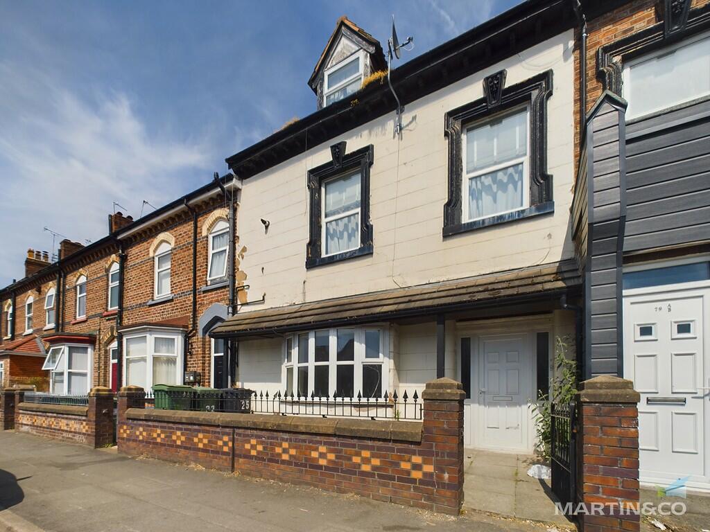
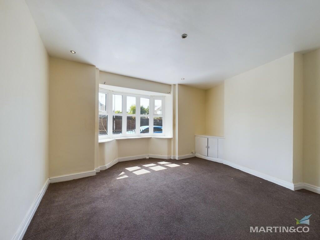
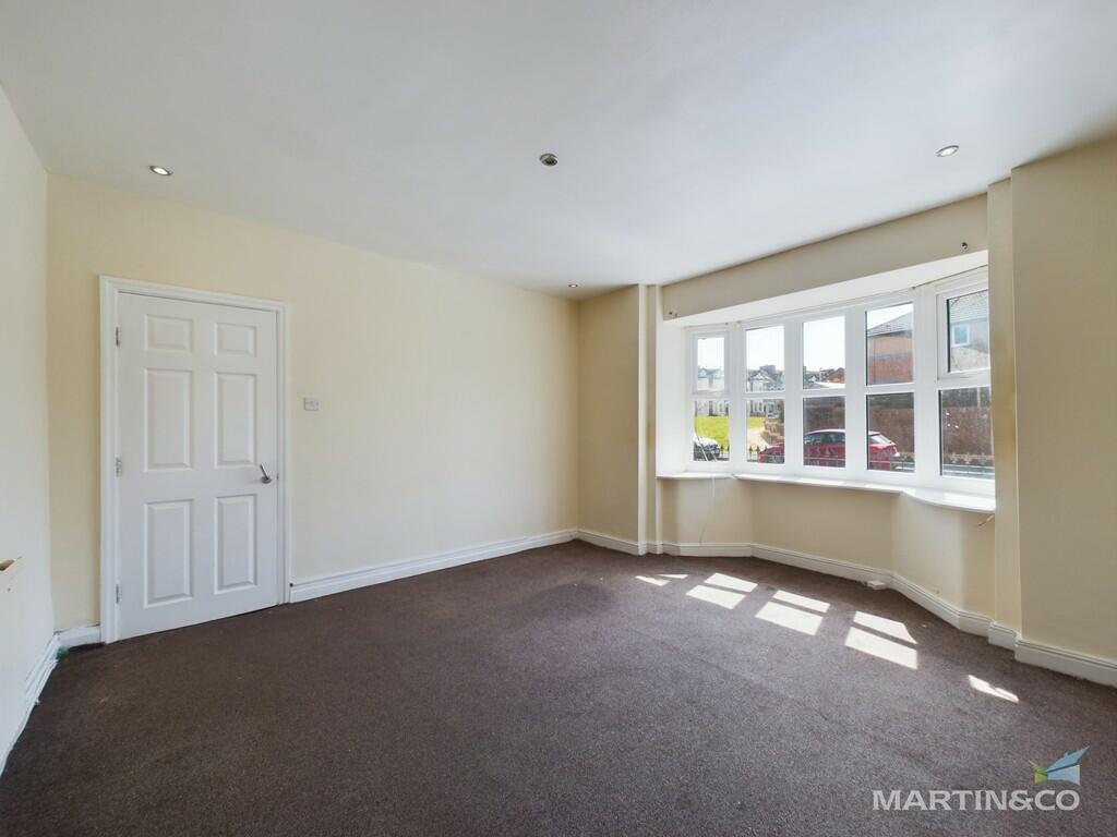
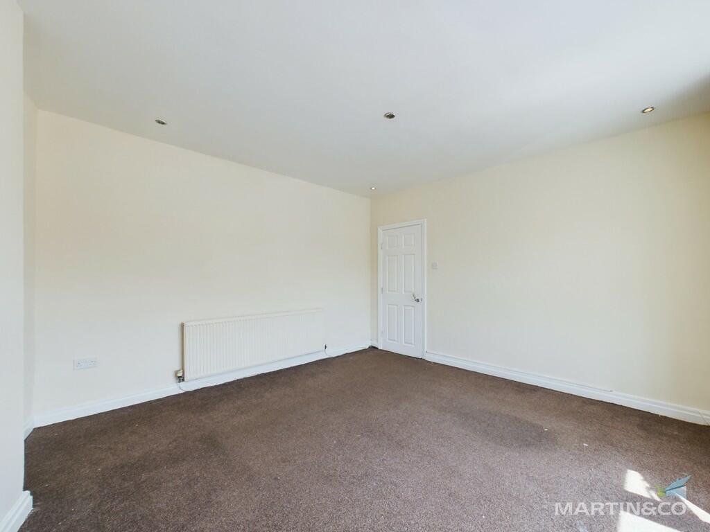
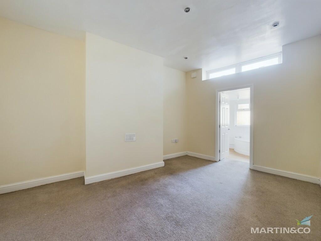
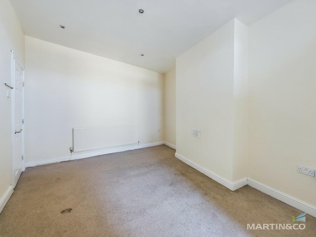
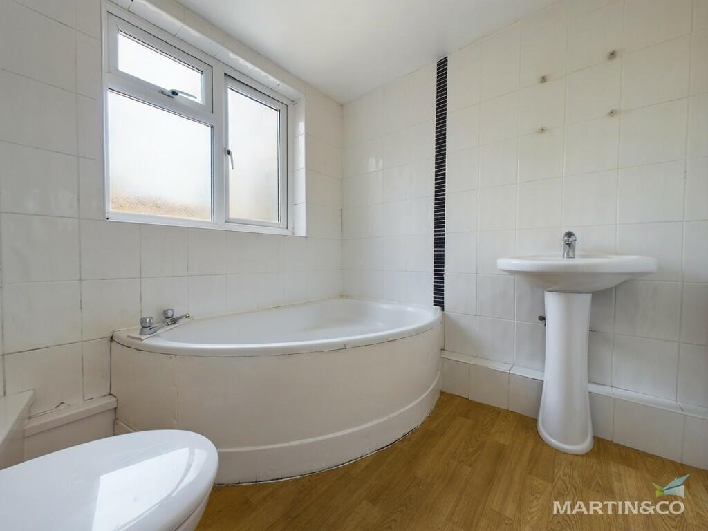
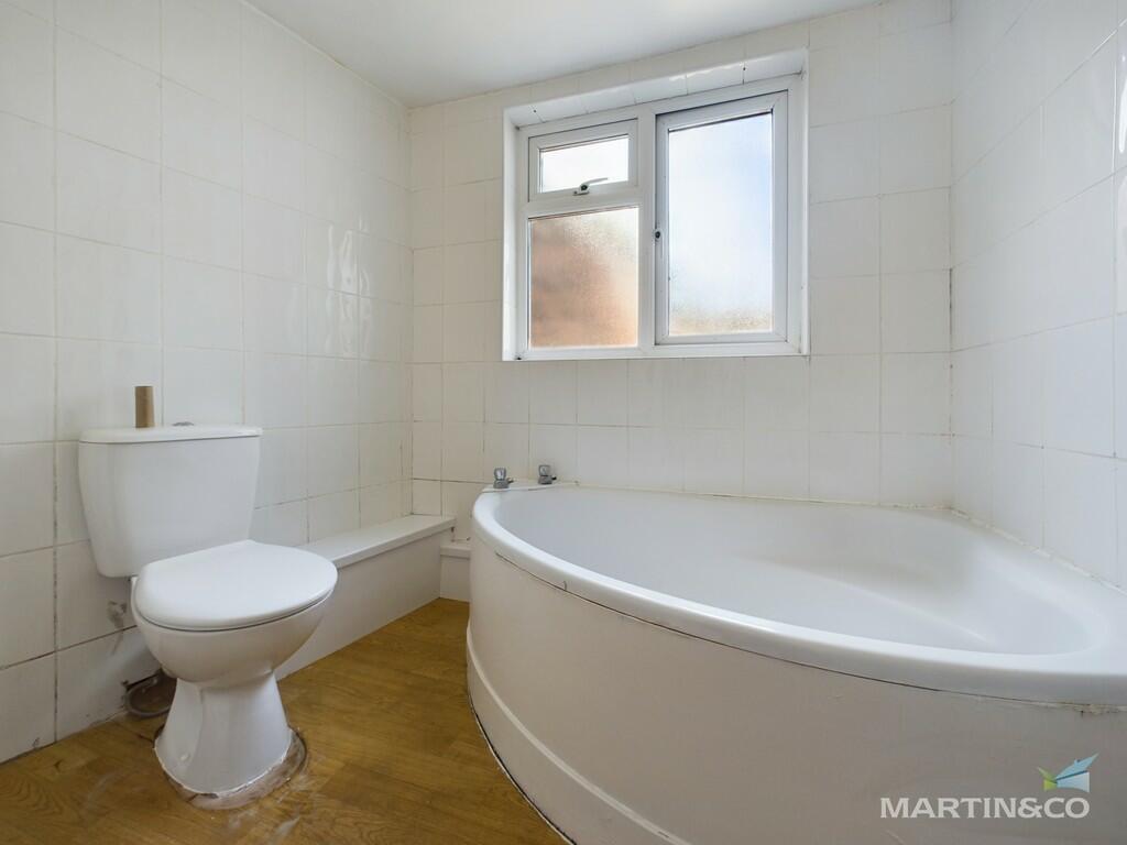
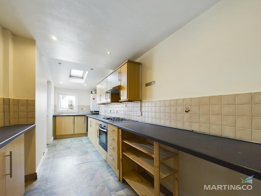
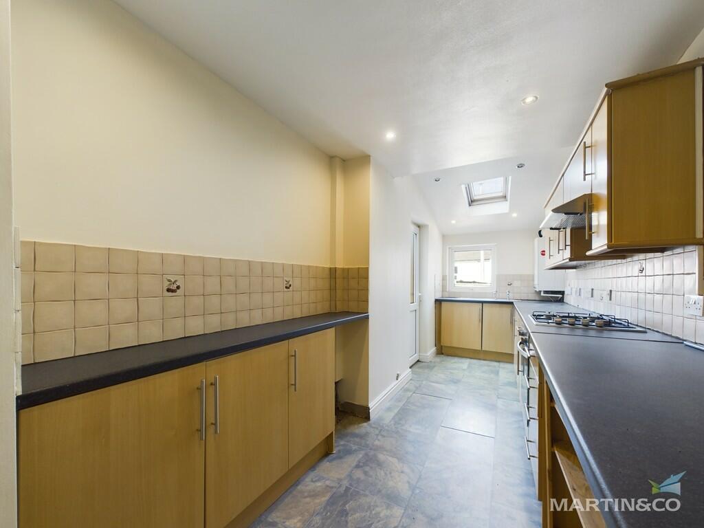
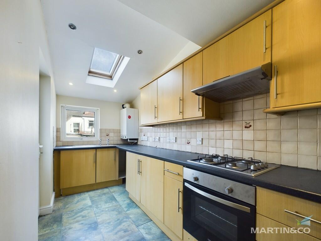
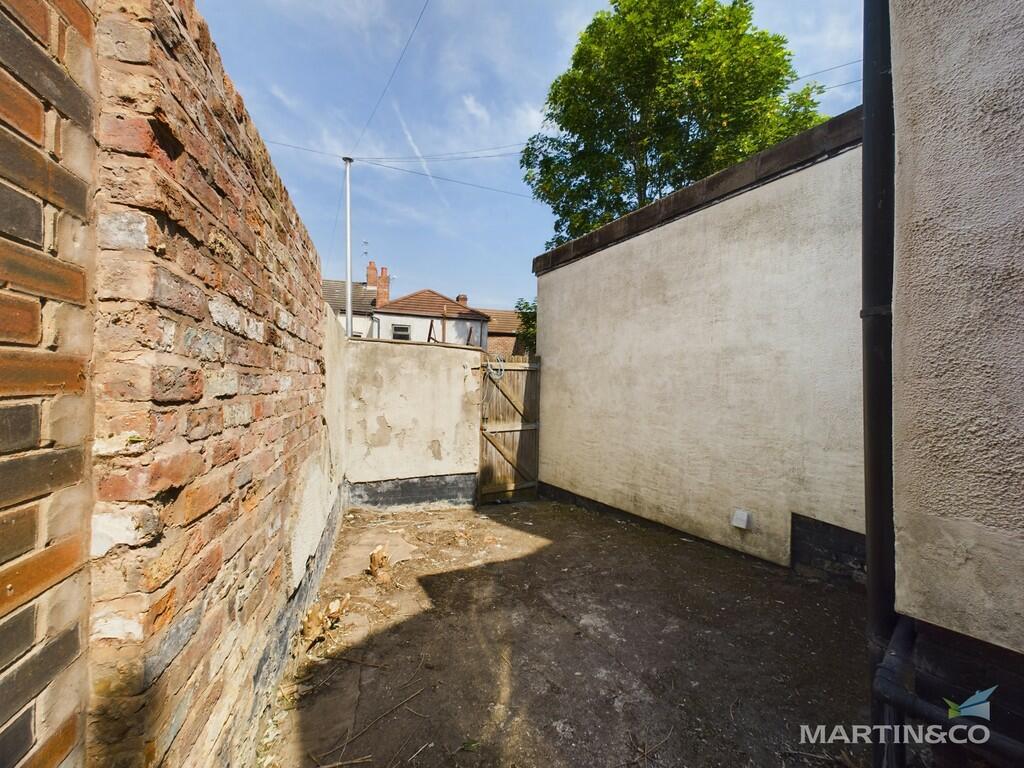
Photo 1 Photo 2 Photo 3 Photo 4 Photo 5 Photo 6 Photo 7 Photo 8 Photo 9 Photo 10 Photo 11 Photo 12
/ 12
Property details
Floor area
93 m²
Year built
England and Wales: before 1900
Deprivation
Decile 1 (3,226 of 33,755)
Street crime
311 incidents within 1 mile (Mar 2026)
Key features
- Ground Floor Flat
- Lounge
- Kitchen
- Double Bedroom
- Bathroom
- Double Glazing
- Central Heating
- Rear yard
Additional details
- Parking
- On street
- Garden
- Yes
Description
The property briefly comprises, communal entrance hall, large lounge, one double bedroom, bathroom , large fully fitted kitchen, rear yard, The property benefits from gas central heating and double glazing.
Listed by
Wirral Bebington
The Property Franchise Group
Reference: 128357399
EPC Rating & Upgrade Cost
Fetching EPC data… Refresh this page in a moment.
Flood risk
Zone: 1
Risk: Low
Job (default Low)
EPC Graphs

EPC Front Page
Rental Range
Estimated market rent for Wirral. Low = conservative, Realistic = average, Optimistic = best case.
Based on Local Authority from postcode lookup → Wirral.
LHA (30th percentile) floor for Wirral: £424/mo (Apr 2025 – Mar 2026)
Location
Nearby
Nearest stations, universities and amenities (distance from property).
| Type | Name | Distance |
|---|---|---|
| Bus stop | GROVE ROAD/ROCKVILLE STREET | 0.0 miles |
| Bus stop | GROVE ROAD/BEDFORD ROAD | 0.0 miles |
| Shop | Prince's Gift Corner | 0.0 miles |
| Shop | TLP Convenience | 0.1 miles |
| Train station | Rock Ferry | 0.1 miles |
| Train station | Green Lane | 0.8 miles |
| Hospital | Parkfield Medical Centre | 0.8 miles |
| Hospital | Clatterbridge Cancer Centre - Wirral | 2.9 miles |
| University | University of Liverpool | 3.0 miles |
Street-level crime
| Category | Count |
|---|---|
| Violence and sexual offences | 127 |
| Criminal damage and arson | 34 |
| Anti-social behaviour | 33 |
| Drugs | 24 |
| Public order | 20 |
| Other theft | 17 |
| Other crime | 15 |
| Shoplifting | 10 |
| Burglary | 9 |
| Possession of weapons | 7 |
| Vehicle crime | 7 |
| Robbery | 6 |
| Bicycle theft | 1 |
| Theft from the person | 1 |
| Total incidents | 311 |
Within 1 mile during Mar 2026. Source: data.police.uk (England & Wales).
Schools nearby
Nearest open schools with Ofsted ratings (England). Closed schools are not shown. Data from Get Information about Schools and Ofsted.
| Name | Type | Distance | Ofsted |
|---|---|---|---|
| Rock Ferry Primary School | Primary | 0.2 miles | Good — 20 Jun 2011 |
| Well Lane Primary School | Primary | 0.3 miles | Inadequate — 13 Sep 2023 |
| St Anne's Catholic Primary School | Primary | 0.4 miles | Good — 11 Jul 2016 |
| Bedford Drive Primary School | Primary | 0.5 miles | Good — 16 Jan 2023 |
| Prenton High School for Girls | Secondary | 0.6 miles | Good — 6 May 2014 |
Rental Comparables
Rental listings exist nearby, but none matched the 1-bedroom estimate from EPC for this property.