Darwin House
Nightingale Quarter, DE1 2BG
£1,050 pcm
Property details
Deprivation
Decile 1 (1,255 of 33,755)
Street crime
1147 incidents within 1 mile (Apr 2026)
Key features
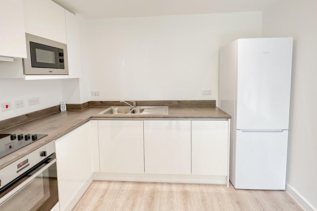
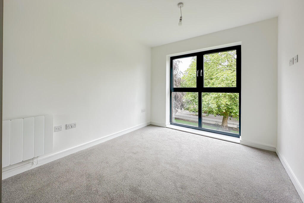
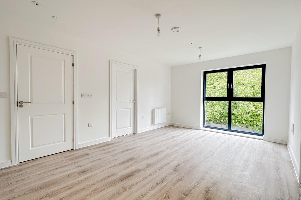
- Top floor one bedroom apartment
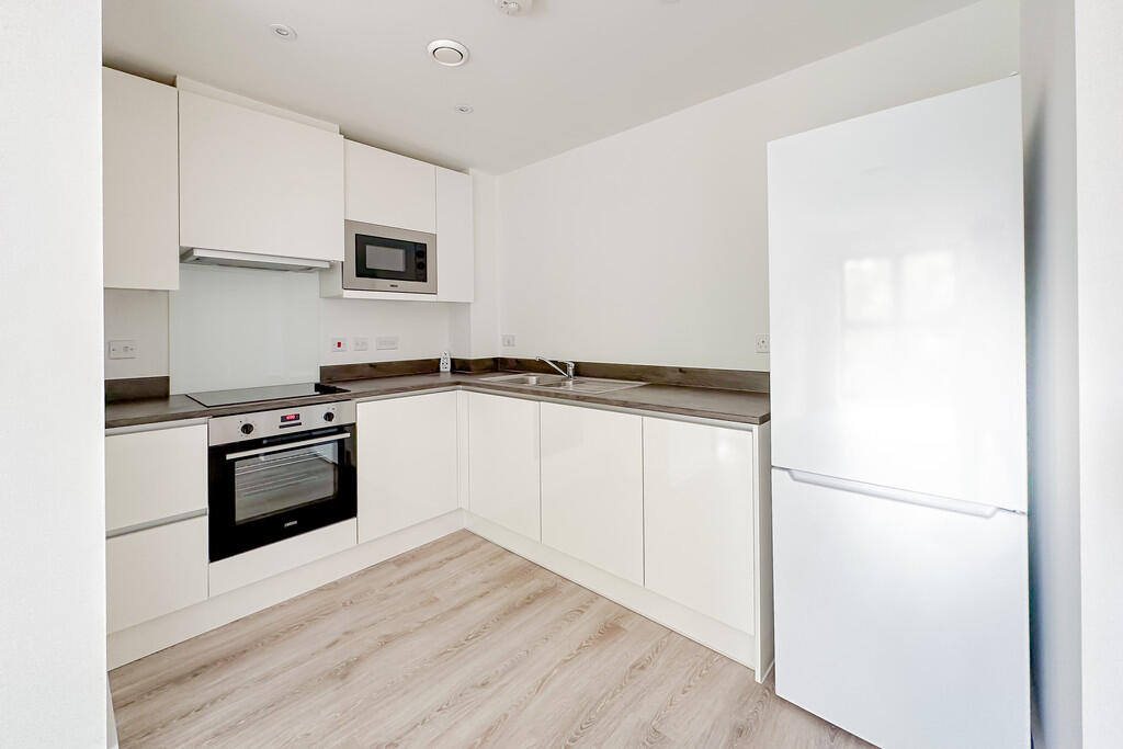
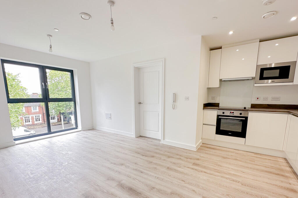
- Large open plan kitchen / living room
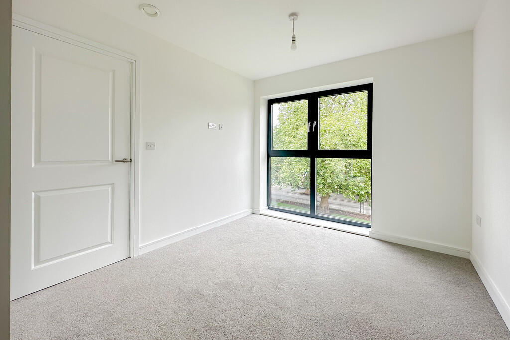
- Spacious double bedroom
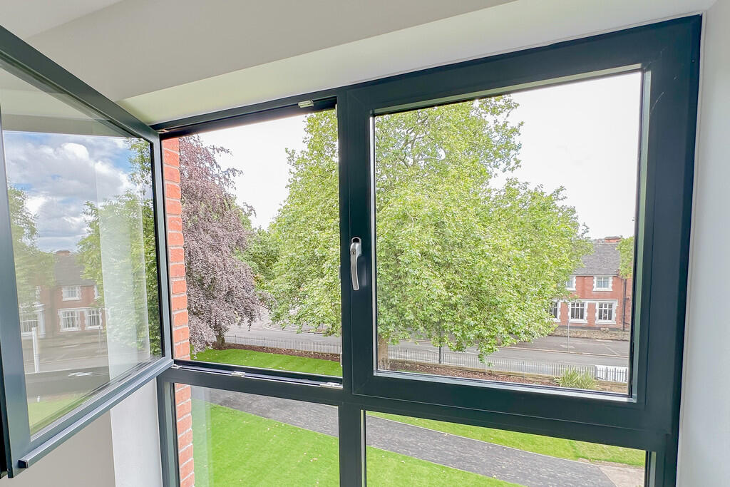
- Impressive windows allowing plenty of light
- Amazing location
- Walking distance to City Centre and Train Station
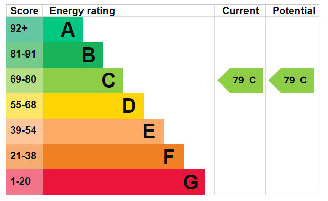
- EPC rating C
- Awaiting Council Tax Band
- No parking is available with this apartment
Description
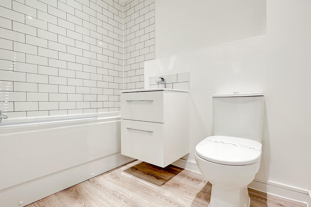
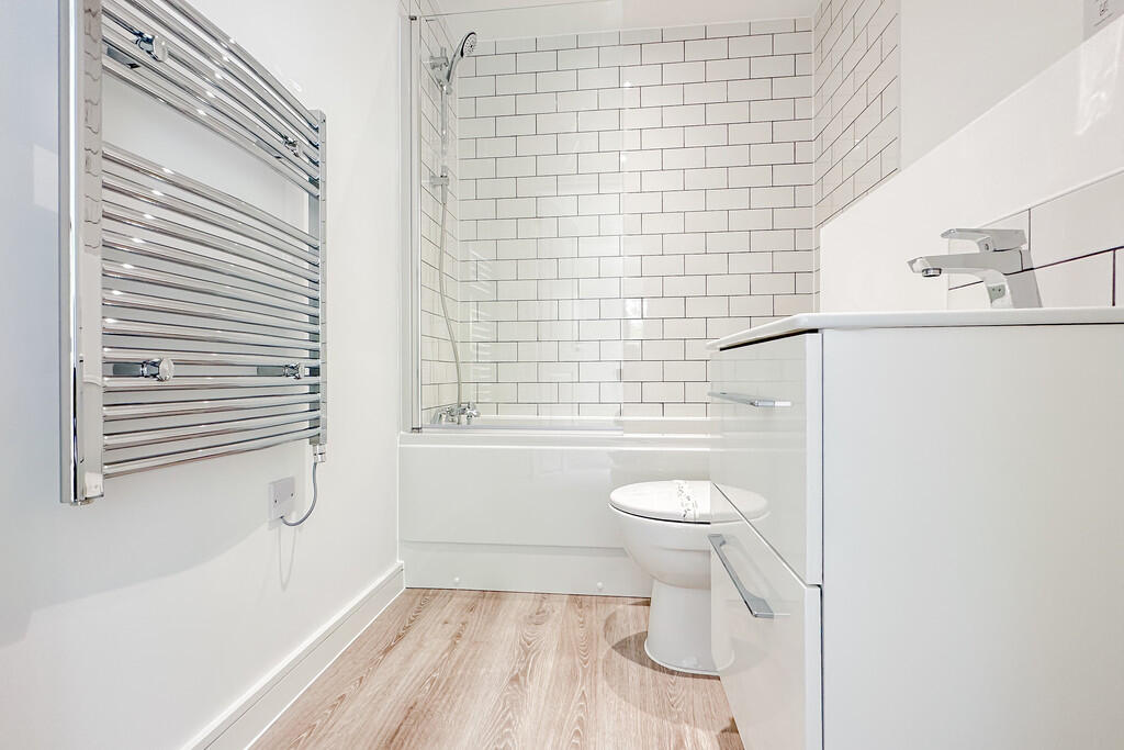
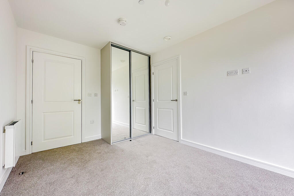
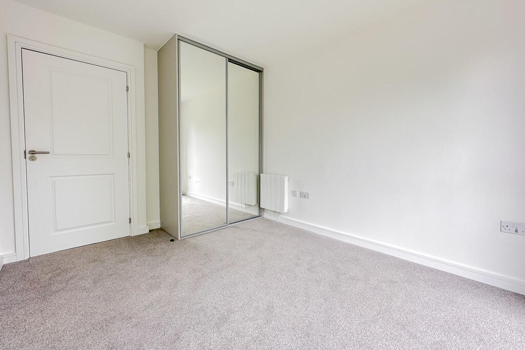
With open plan living space and a modern kitchen, a spacious double bedrooms with large window and built in wardrobe and a good size family bathroom the property is perfect for a professional couple.
The Nightingale Quarter is an executive development in the heart of Derby.
Listed by
Derby
The Property Franchise Group
Reference: 163409969
EPC Rating & Upgrade Cost
Fetching EPC data… Refresh this page in a moment.
Flood risk
Zone: 1
Risk: Low
Job (default Low)
EPC Graphs

EPC Front Page
EPC 2
Rental Range
Estimated market rent for Derby. Low = conservative, Realistic = average, Optimistic = best case.
Based on Local Authority from postcode lookup → Derby.
LHA (30th percentile) floor for Derby: £593/mo (Apr 2025 – Mar 2026)
Location
Address
5 Traffic Street
Nearby
Nearest stations, universities and amenities (distance from property).
| Type | Name | Distance |
|---|---|---|
| Shop | Clarendon Fine Art | 0.0 miles |
| Shop | Luke 1977 | 0.0 miles |
| Bus stop | Intu Centre (Stop A3) | 0.1 miles |
| Bus stop | London Road (Stop A4) | 0.1 miles |
| Train station | Derby | 0.4 miles |
| Train station | Peartree | 1.4 miles |
| University | University of Derby | 1.7 miles |
| Hospital | Babington Hospital | 6.9 miles |
| Hospital | Ilkeston Community Hospital | 7.9 miles |
Street-level crime
| Category | Count |
|---|---|
| Violence and sexual offences | 409 |
| Public order | 138 |
| Anti-social behaviour | 134 |
| Drugs | 111 |
| Shoplifting | 83 |
| Criminal damage and arson | 72 |
| Other theft | 71 |
| Burglary | 27 |
| Vehicle crime | 25 |
| Possession of weapons | 18 |
| Other crime | 17 |
| Robbery | 17 |
| Bicycle theft | 13 |
| Theft from the person | 12 |
| Total incidents | 1147 |
Within 1 mile during Apr 2026. Source: data.police.uk (England & Wales).
Schools nearby
Nearest open schools with Ofsted ratings (England). Closed schools are not shown. Data from Get Information about Schools and Ofsted.
| Name | Type | Distance | Ofsted |
|---|---|---|---|
| Castleward Spencer Academy | Primary | 0.2 miles | Outstanding — 18 Sep 2024 |
| St James' Church of England Aided Infant School | Primary | 0.3 miles | Good — 6 Dec 2018 |
| Rosehill Infant and Nursery School | Primary | 0.5 miles | Good — 26 May 2020 |
| Derby College | Other | 0.5 miles | — (No rating) |
| St James' Church of England Aided Junior School | Primary | 0.5 miles | Good — 24 Apr 2024 |
Rental Comparables
Rental listings exist nearby, but none matched the 2-bedroom count for this property.