83 PENKVILLE STREET
STOKE-ON-TRENT, STOKE-ON-TRENT ST4 5AL
£875 pcm
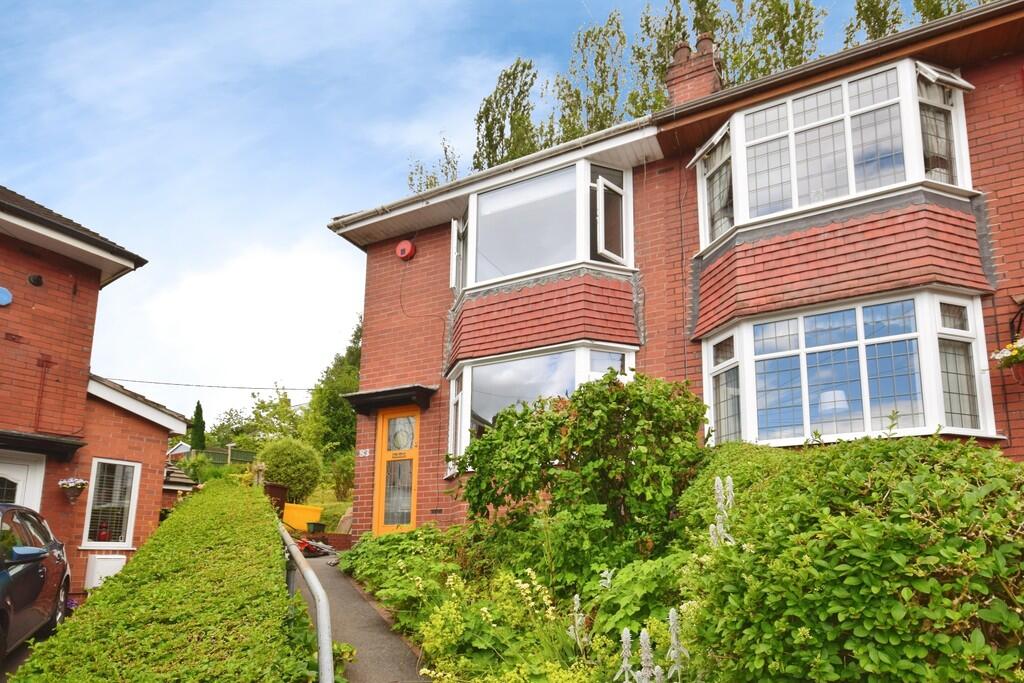
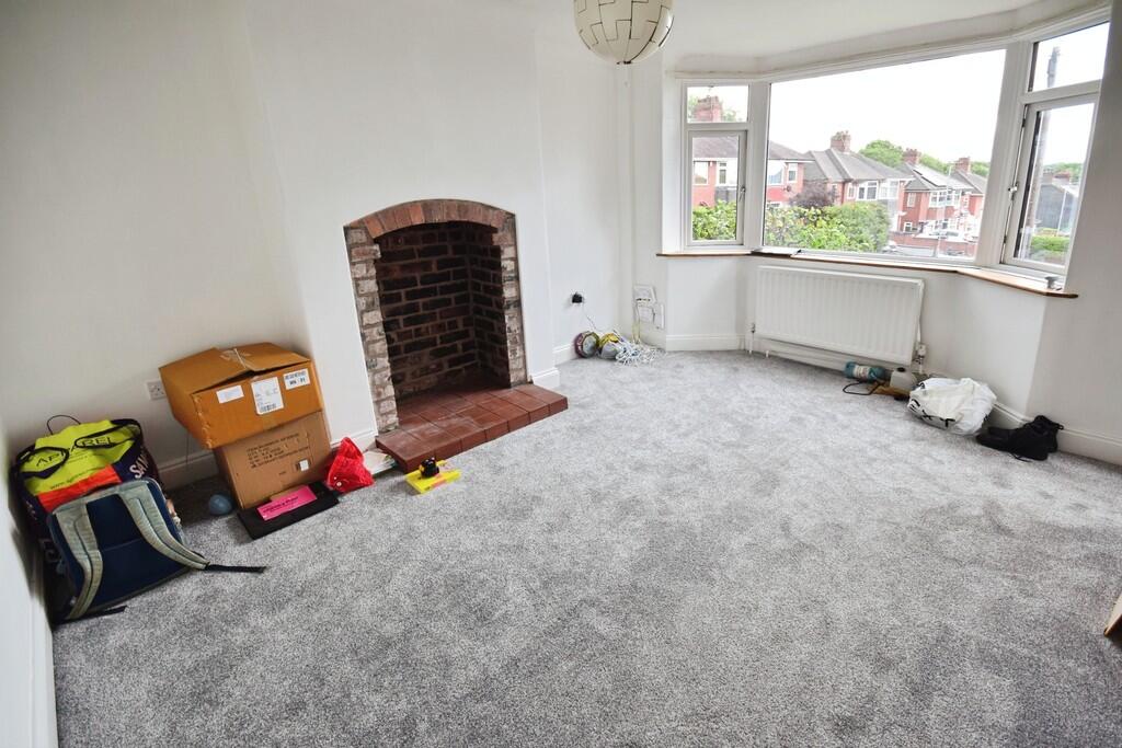
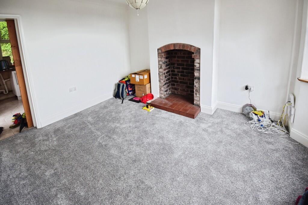
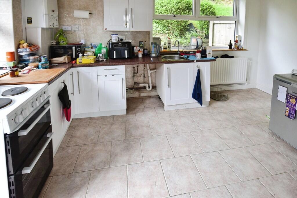
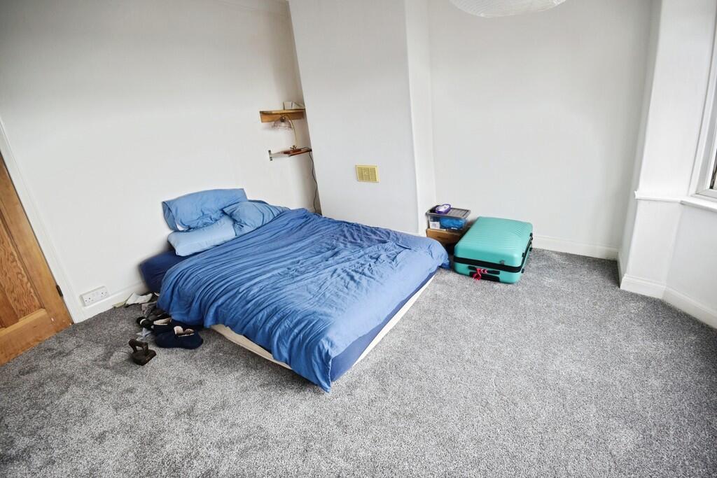
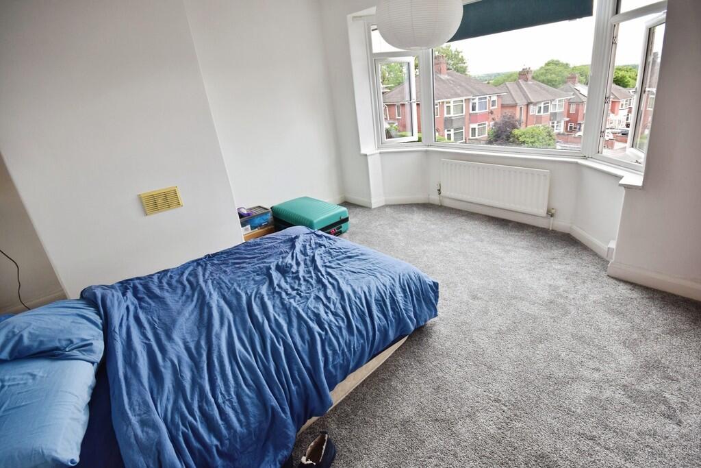
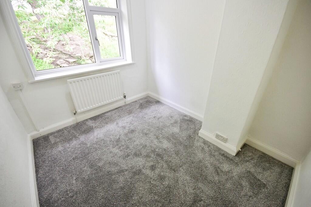
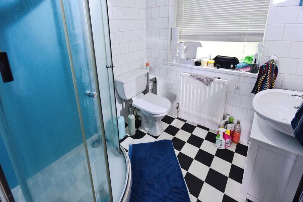
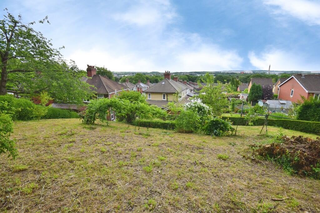
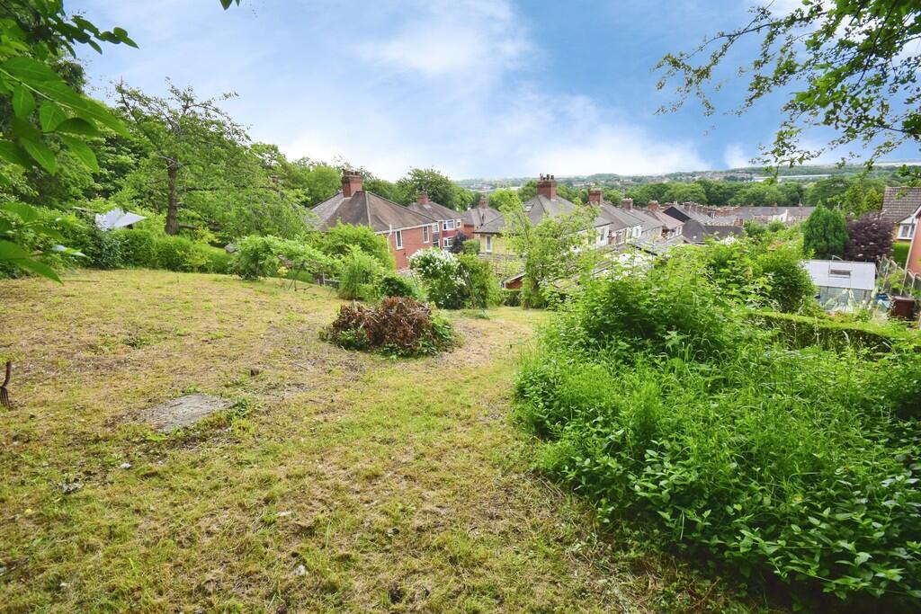
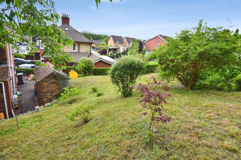
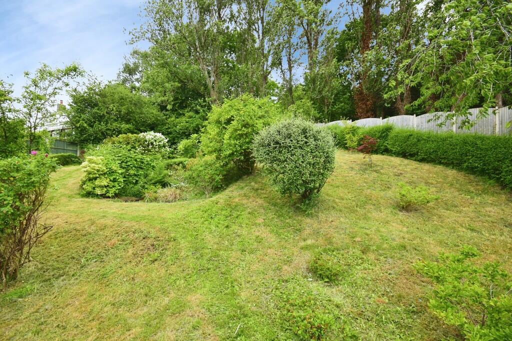
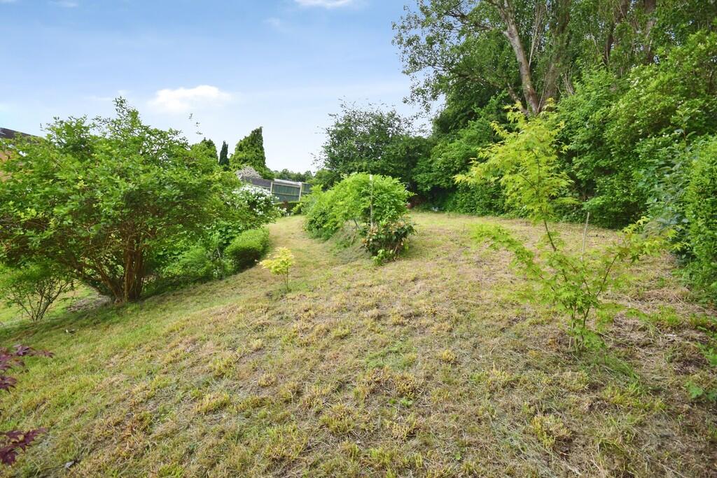
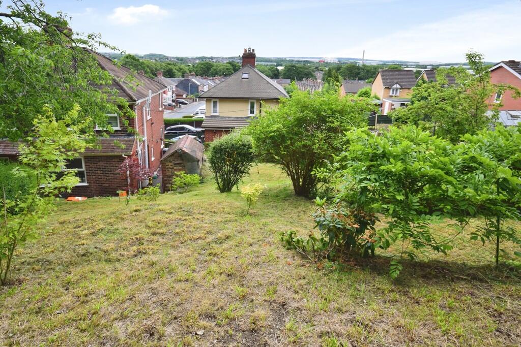
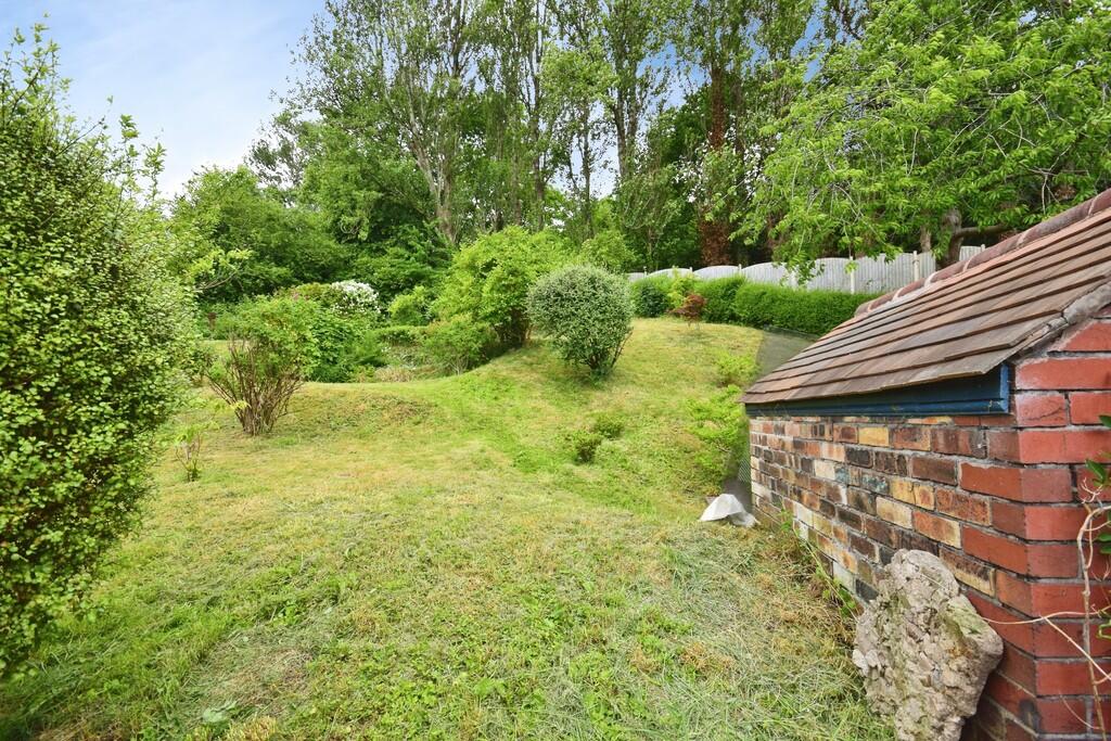
Photo 1 Photo 2 Photo 3 Photo 4 Photo 5 Photo 6 Photo 7 Photo 8 Photo 9 Photo 10 Photo 11 Photo 12 Photo 13 Photo 14 Photo 15
/ 15
Property details
Floor area
55 m²
Council tax band
B
Deprivation
Decile 3 (8,918 of 33,755)
Street crime
360 incidents within 1 mile (Apr 2026)
Key features
- Semi detached house
- Lounge
- Kitchen dining room
- 2 Bedrooms
- Shower room
- Large rear garden
- Council tax band B
- Close to Newcastle town centre
- Close to Stoke town centre
Additional details
- Garden
- Yes
Description
Listed by
Stoke On Trent
The Property Franchise Group
Reference: 90152058
EPC Rating & Upgrade Cost
Fetching EPC data… Refresh this page in a moment.
Flood risk
Zone: 1
Risk: Low
Job (default Low)
EPC Graphs
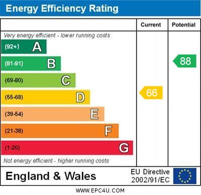
EPC 1
FENSA Certificates
This property has 1 FENSA certificate(s) on record, indicating window/door installations by FENSA-approved installers.
FENSA Certificate #14757069 Recent
Property Details
Street: 83 Penkville Street
Town: STOKE-ON-TRENT
Postcode: ST4 5AL
Installation Details
Items: 1 door
Certificate Issued: 29/08/2021
Work Completed: 16/08/2021
This certificate data was retrieved from FENSA's database
What is FENSA? FENSA (Fenestration Self-Assessment Scheme) is a government-authorised scheme that monitors building regulation compliance for replacement windows and doors. Certificates indicate that work was completed by FENSA-approved installers.
Rental Range
Estimated market rent for Stoke-on-Trent. Low = conservative, Realistic = average, Optimistic = best case.
Based on Local Authority from postcode lookup → Stoke-on-Trent.
LHA (30th percentile) floor for Staffordshire North: £479/mo (Apr 2025 – Mar 2026)
Location
Nearby
Nearest stations, universities and amenities (distance from property).
| Type | Name | Distance |
|---|---|---|
| Shop | Mingas | 0.1 miles |
| Shop | West End Wines | 0.1 miles |
| Bus stop | Unknown | 0.1 miles |
| Bus stop | The Villas | 0.1 miles |
| Train station | Stoke-on-Trent | 0.9 miles |
| Hospital | Royal Stoke University Hospital | 1.0 miles |
| University | University of Staffordshire Stoke Campus | 1.1 miles |
| Hospital | North Staffordshire Nuffield Hospital | 1.4 miles |
| Train station | Longton | 2.4 miles |
| University | Buxton & Leek College | 10.4 miles |
Street-level crime
| Category | Count |
|---|---|
| Violence and sexual offences | 120 |
| Anti-social behaviour | 57 |
| Public order | 39 |
| Shoplifting | 34 |
| Criminal damage and arson | 28 |
| Burglary | 15 |
| Drugs | 14 |
| Other theft | 14 |
| Vehicle crime | 13 |
| Other crime | 11 |
| Possession of weapons | 7 |
| Robbery | 4 |
| Bicycle theft | 2 |
| Theft from the person | 2 |
| Total incidents | 360 |
Within 1 mile during Apr 2026. Source: data.police.uk (England & Wales).
Schools nearby
Nearest open schools with Ofsted ratings (England). Closed schools are not shown. Data from Get Information about Schools and Ofsted.
| Name | Type | Distance | Ofsted |
|---|---|---|---|
| Stoke Minster CofE Primary Academy | Primary | 0.5 miles | Inadequate — 27 Sep 2022 |
| Thistley Hough Academy | Secondary | 0.5 miles | Good — 26 Apr 2017 |
| Oakhill Primary School | Primary | 0.6 miles | Good — 4 Dec 2023 |
| The Willows Primary School | Primary | 0.6 miles | Good — 14 Dec 2010 |
| St Joseph's Preparatory School | Other | 0.6 miles | — (No rating) |
Rental Comparables
Residential lets from OpenRent and Rightmove for the area (same bedroom count). Use to validate rent estimates. Student lets are excluded.
Average rent: £788/mo (62 listings)