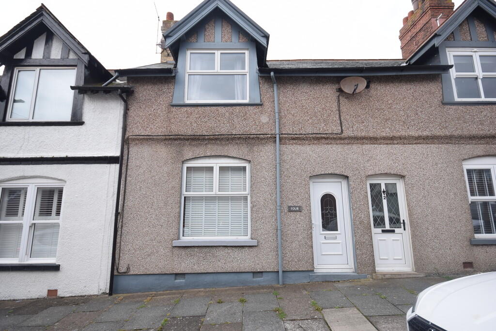
4 HOGUE STREET
BARROW-IN-FURNESS, WALNEY, WESTMORLAND AND FURNESS LA14 3EE
£800 pcm
Property details
Floor area
86 m²
Council tax band
A
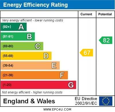
EPC rating
D
Year built
England and Wales: 1930-1949
Deprivation
Decile 5 (14,473 of 33,755)
Street crime
87 incidents within 1 mile (Apr 2026)
Key features
- 3 Bedrooms
- 2 Reception Rooms
- Central Walney
- Short Term Let Only
- Council Tax Band A
- Holding deposit £184.00
- Deposit £923.00
- Freehold
- 6 Month Tenancy
Additional details
- Heating
- Gas central
- Parking
- On street
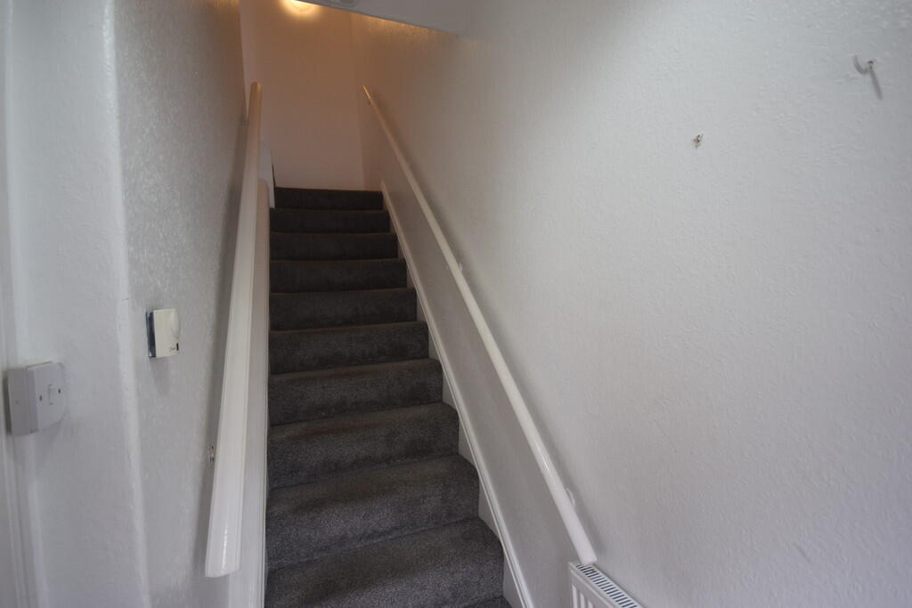
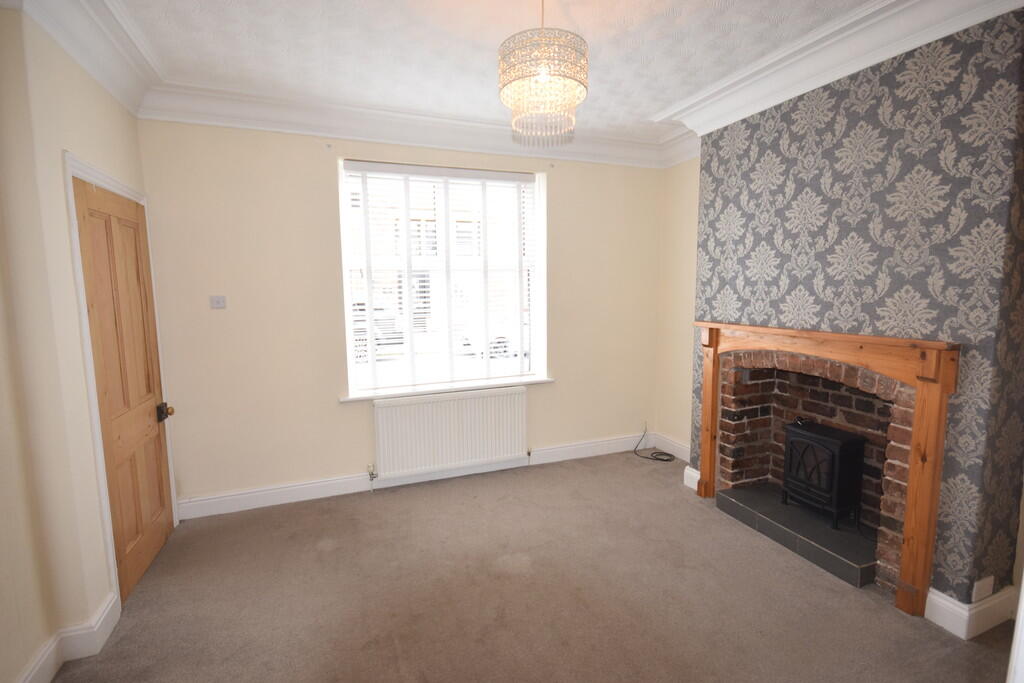
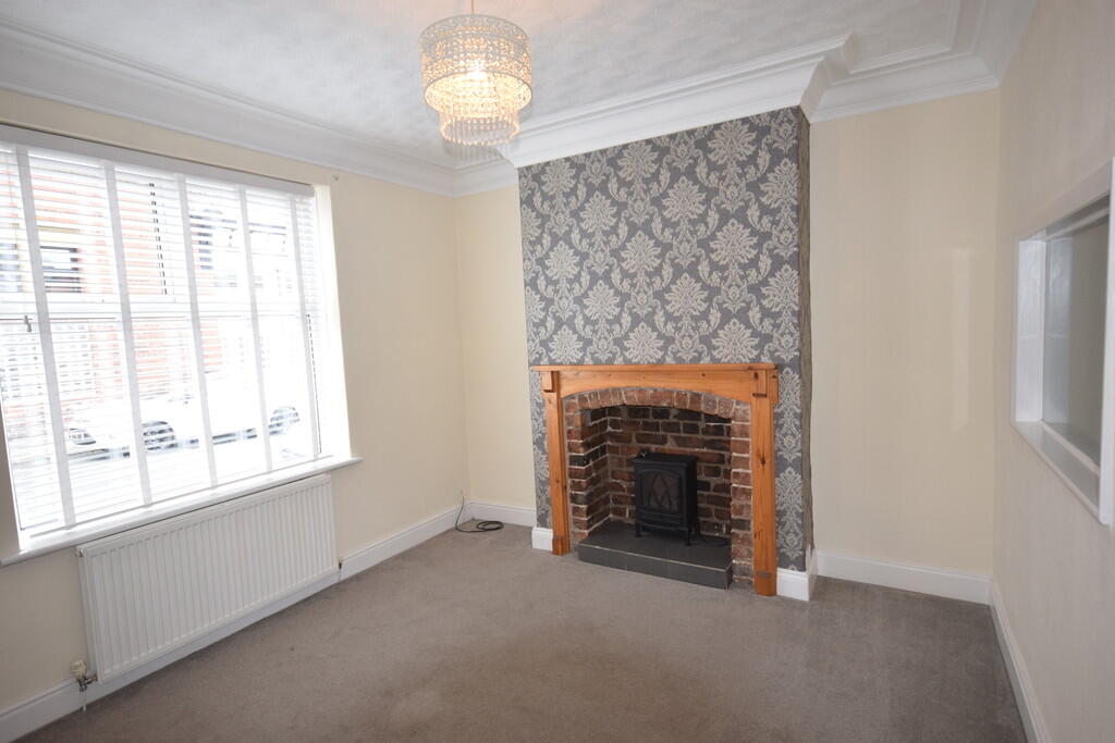
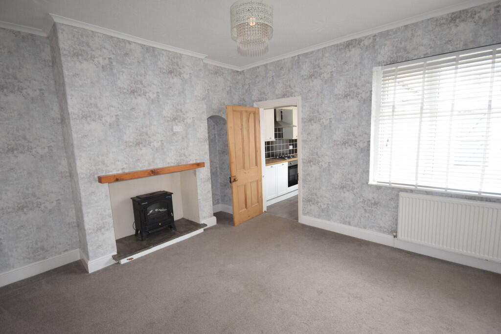
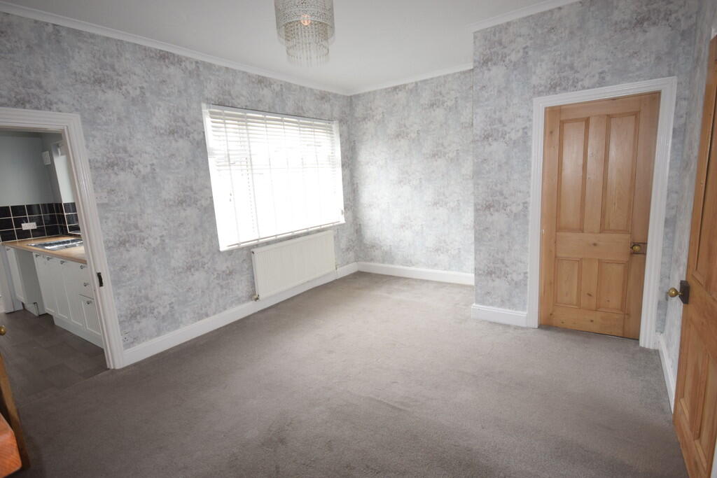
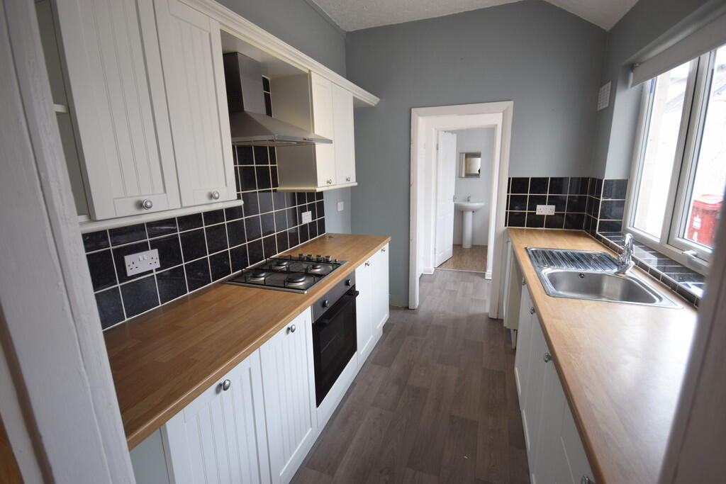
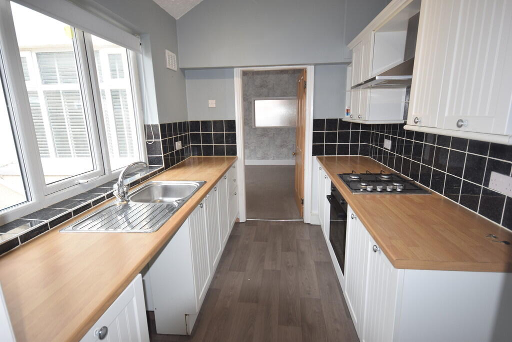
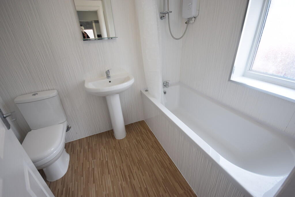
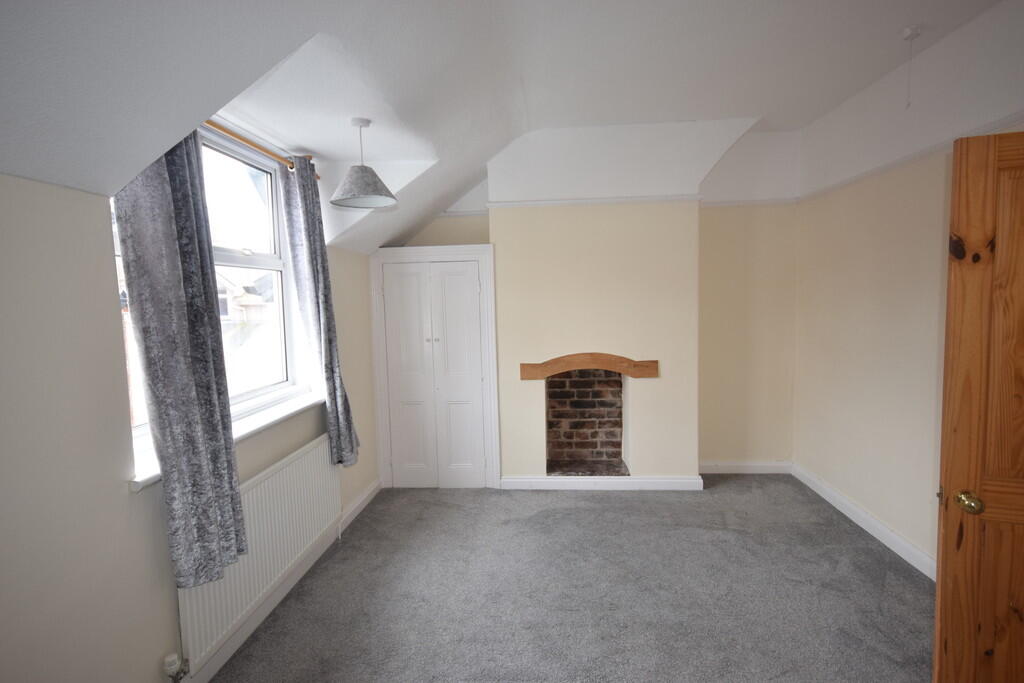
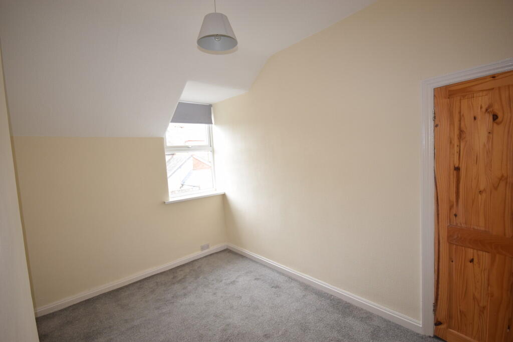
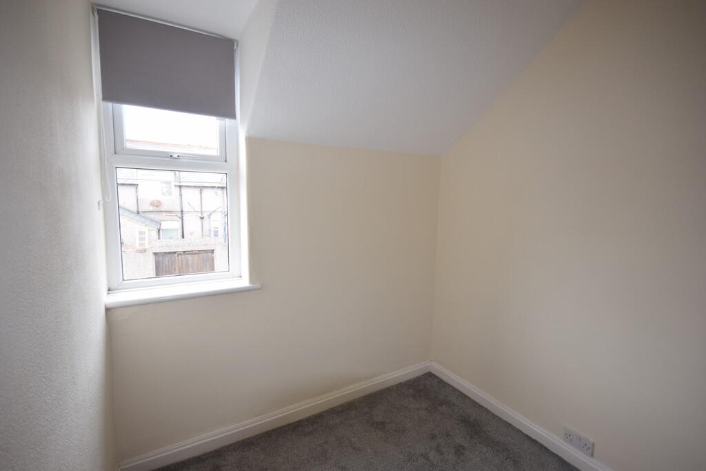
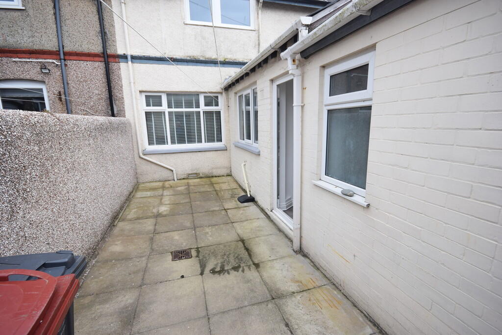
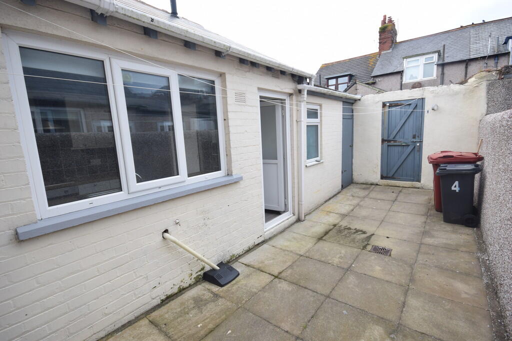
Description
Listed by
Barrow In Furness
W.G. ROSS & COMPANY LIMITED
Reference: 168905375
EPC Rating & Upgrade Cost
Current rating: D
Potential rating: B
Inspection date: 18/01/2023
Expiry date: 17/01/2033
Current heating cost: £634/year
Potential heating cost: £532/year
Est. upgrade cost to C: £11,500
Recommendations
- Cavity wall insulation (£500 - £1,500)
- Floor insulation (suspended floor) (£800 - £1,200)
- Solar water heating (£4,000 - £6,000)
- Solar photovoltaic panels, 2.5 kWp (£3,500 - £5,500)
Flood risk
Zone: 1
Risk: Low
Job (default Low)
EPC Graphs
EPC 1
Rental Range
Estimated market rent for North West. Low = conservative, Realistic = average, Optimistic = best case.
Based on Region from postcode lookup → North West.
LHA (30th percentile) floor for Barrow-in-Furness: £633/mo (Apr 2025 – Mar 2026)
Location
Nearby
Nearest stations, universities and amenities (distance from property).
| Type | Name | Distance |
|---|---|---|
| Bus stop | Niger Street | 0.1 miles |
| Bus stop | King Alfred PH (S bound) | 0.1 miles |
| Shop | Bargain Booze | 0.3 miles |
| Shop | The Lion & The Unicorn | 0.3 miles |
| Train station | Barrow-in-Furness | 1.4 miles |
| Train station | Roose | 2.3 miles |
| Hospital | Unknown | 9.0 miles |
Street-level crime
| Category | Count |
|---|---|
| Violence and sexual offences | 33 |
| Public order | 11 |
| Shoplifting | 10 |
| Other theft | 9 |
| Criminal damage and arson | 7 |
| Anti-social behaviour | 4 |
| Burglary | 4 |
| Other crime | 4 |
| Drugs | 2 |
| Possession of weapons | 1 |
| Theft from the person | 1 |
| Vehicle crime | 1 |
| Total incidents | 87 |
Within 1 mile during Apr 2026. Source: data.police.uk (England & Wales).
Schools nearby
Nearest open schools with Ofsted ratings (England). Closed schools are not shown. Data from Get Information about Schools and Ofsted.
| Name | Type | Distance | Ofsted |
|---|---|---|---|
| South Walney Junior School | Primary | 0.1 miles | Good — 30 Nov 2012 |
| South Walney Infant and Nursery School | Primary | 0.1 miles | Good — 14 Sep 2018 |
| St Columba's School | Primary | 0.3 miles | Good — 5 Jul 2012 |
| Walney School | Secondary | 0.5 miles | Requires improvement — 2 May 2022 |
| George Hastwell School Special Academy | Other | 0.5 miles | — (Inspected (no overall grade)) |
Rental Comparables
Loading rental comparables for this postcode. Refresh in a few minutes.