23 WOLVERLEY GRANGE
DERBY, ALVASTON, CITY OF DERBY DE24 0SS
£825 pcm
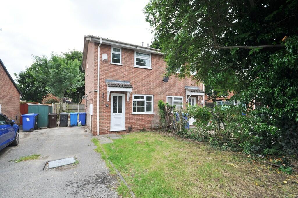
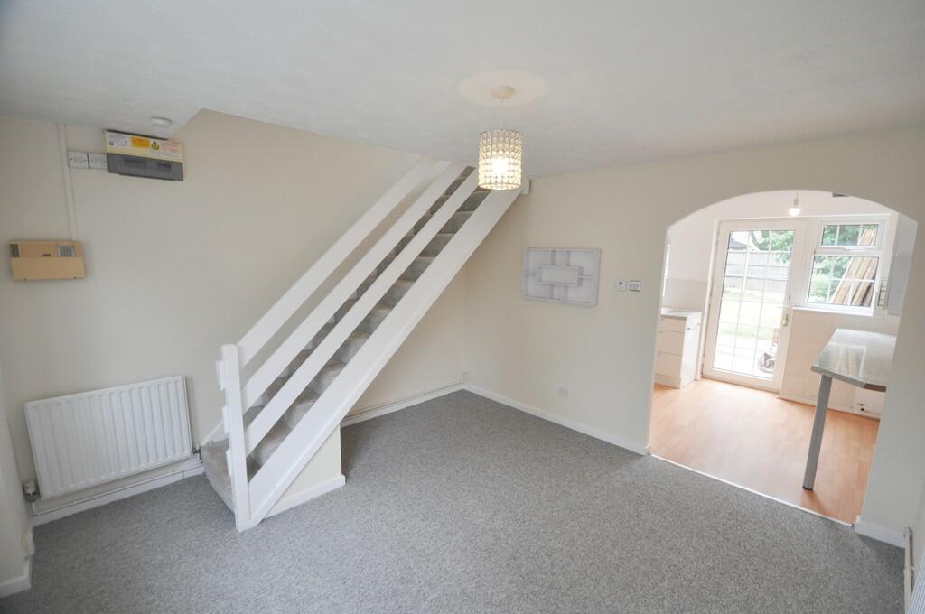

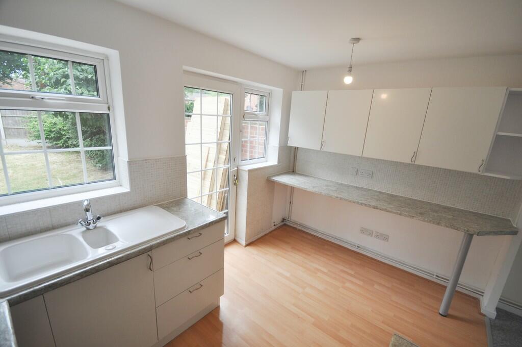
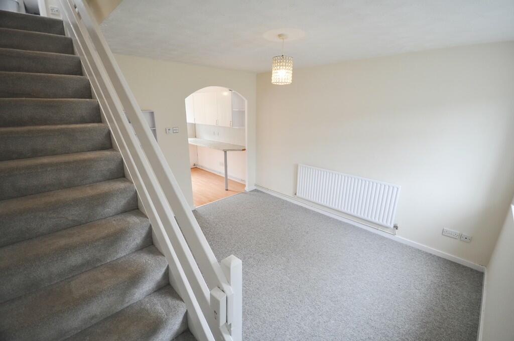
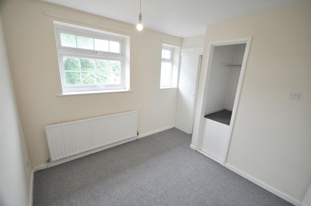

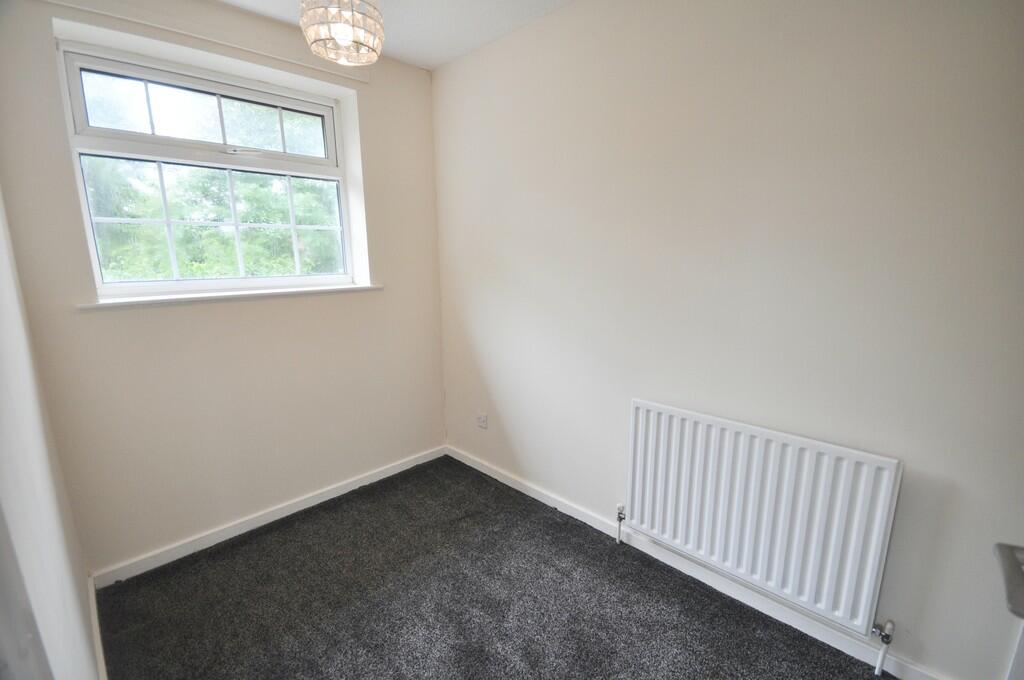
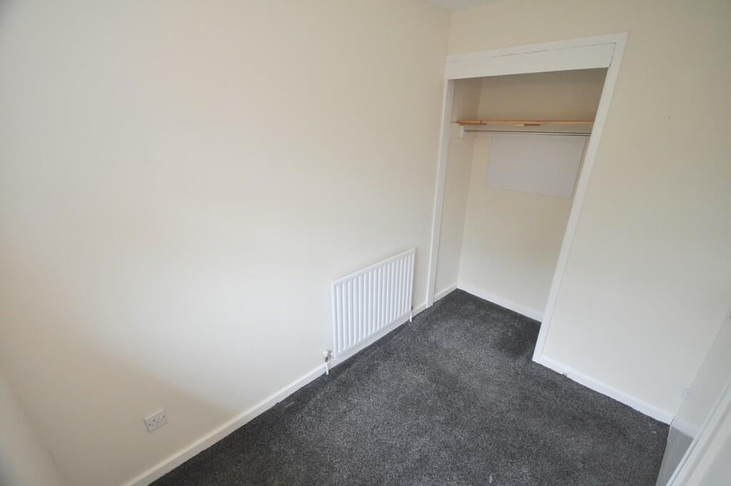
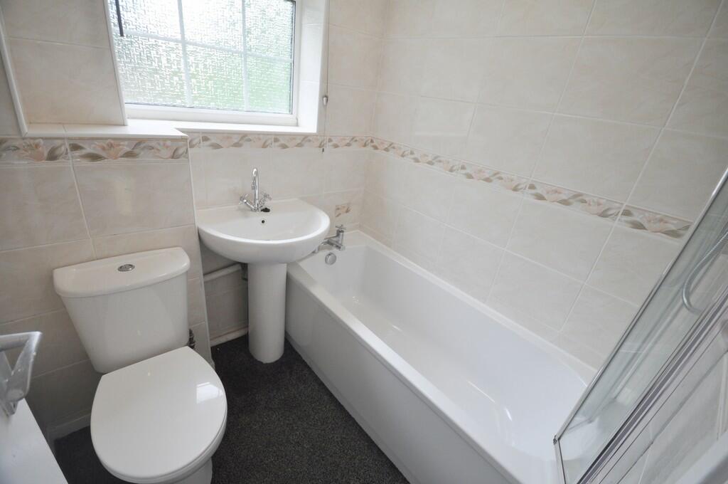
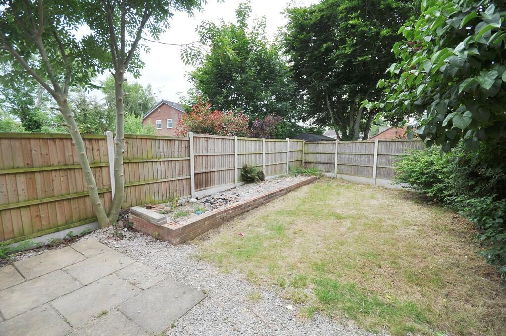
Photo 1 Photo 2 Photo 3 Photo 4 Photo 5 Photo 6 Photo 7 Photo 8 Photo 9 Photo 10 Photo 11
/ 11
Property details
Floor area
46 m²
Council tax band
A
EPC rating
C
Year built
England and Wales: 1983-1990
Deprivation
Decile 6 (18,572 of 33,755)
Street crime
163 incidents within 1 mile (Apr 2026)
Key features
- AVAILABLE NOW!
- 2 Double Bedrooms
- Council Tax band 'A'
- EPC: C
- Gas Central Heating
- Recently Decorated
- UPVC Double Glazed Windows
- Spacious Drive Way
Additional details
- Parking
- Off street
- Garden
- Yes
Description
Call our Chellaston, Derby office today to arrange a viewing!!
Listed by
Derby
The Lomond Group
Reference: 149339912
EPC Rating & Upgrade Cost
Current rating: C
Potential rating: B
Inspection date: 01/02/2024
Expiry date: 31/01/2034
Est. upgrade cost to C: £14,500
Recommendations
- Floor insulation (solid floor) (£4,000 - £6,000)
- Solar water heating (£4,000 - £6,000)
- Solar photovoltaic panels, 2.5 kWp (£3,500 - £5,500)
Flood risk
Zone: 1
Risk: Low
Job (default Low)
EPC Graphs

EPC Front Page
Rental Range
Estimated market rent for Derby. Low = conservative, Realistic = average, Optimistic = best case.
Based on Local Authority from postcode lookup → Derby.
LHA (30th percentile) floor for Derby: £593/mo (Apr 2025 – Mar 2026)
Location
Nearby
Nearest stations, universities and amenities (distance from property).
| Type | Name | Distance |
|---|---|---|
| Bus stop | James Wyatt | 0.1 miles |
| Shop | Tesco Express | 0.2 miles |
| Shop | Sak + American Candy | 0.2 miles |
| Train station | Spondon | 1.4 miles |
| Train station | Peartree | 2.6 miles |
| Hospital | Royal Derby Hospital | 4.5 miles |
| University | University of Derby | 4.8 miles |
| Hospital | Nuffield Health Derby Hospital | 5.0 miles |
| University | Loughborough University | 11.4 miles |
Street-level crime
| Category | Count |
|---|---|
| Violence and sexual offences | 70 |
| Shoplifting | 33 |
| Anti-social behaviour | 21 |
| Vehicle crime | 10 |
| Public order | 9 |
| Other theft | 5 |
| Criminal damage and arson | 4 |
| Drugs | 3 |
| Other crime | 2 |
| Robbery | 2 |
| Bicycle theft | 1 |
| Burglary | 1 |
| Possession of weapons | 1 |
| Theft from the person | 1 |
| Total incidents | 163 |
Within 1 mile during Apr 2026. Source: data.police.uk (England & Wales).
Schools nearby
Nearest open schools with Ofsted ratings (England). Closed schools are not shown. Data from Get Information about Schools and Ofsted.
| Name | Type | Distance | Ofsted |
|---|---|---|---|
| Alvaston Infant and Nursery School | Primary | 0.4 miles | Good — 15 Nov 2017 |
| Alvaston Junior Academy | Primary | 0.4 miles | Requires improvement — 10 Sep 2024 |
| St John Fisher Catholic Voluntary Academy | Primary | 0.6 miles | Good — 3 Dec 2023 |
| Oakwood Infant and Nursery School | Primary | 0.8 miles | Good — 28 Feb 2018 |
| Clover Leys Spencer Academy | Primary | 0.9 miles | Good — 3 Jul 2024 |
Rental Comparables
Rental listings exist nearby, but none matched the 2-bedroom count for this property.