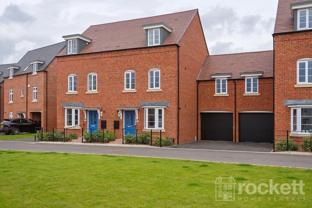
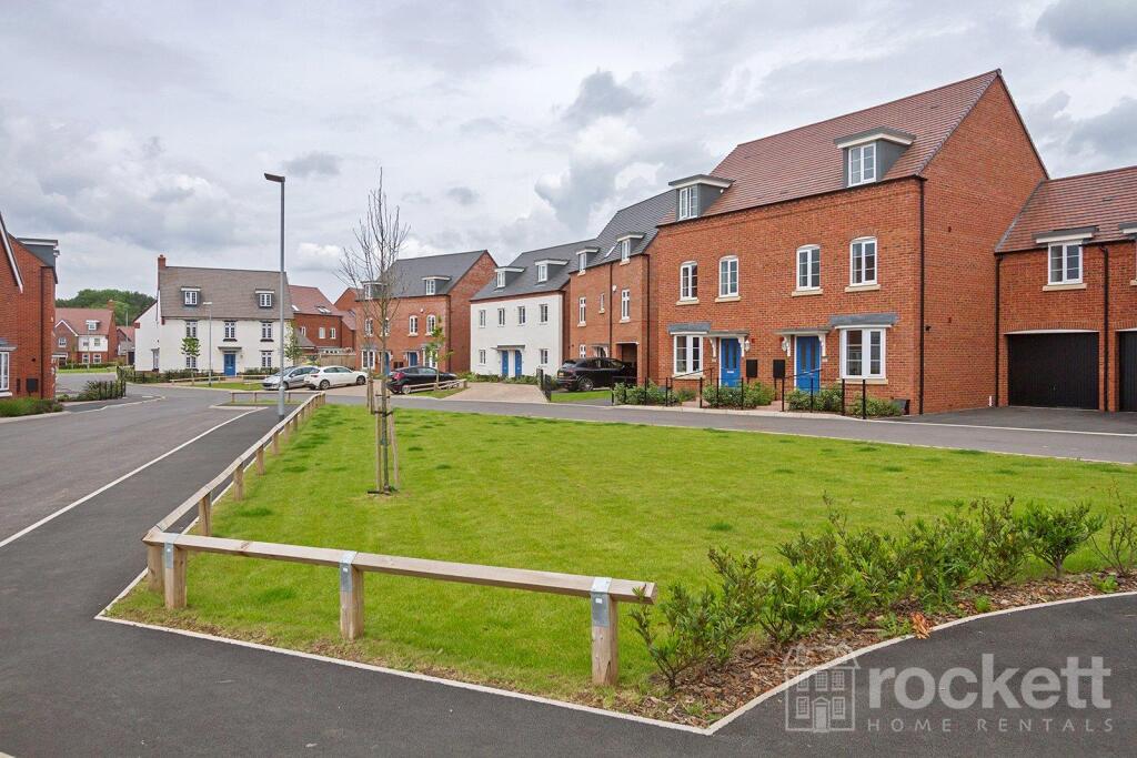
Renaissance Way
Barlaston, Stoke-on-Trent, Staffordshire, ST12, ST12 9FG
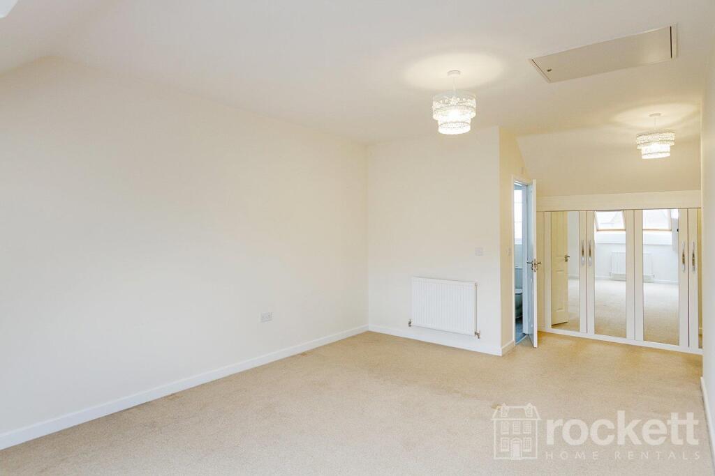
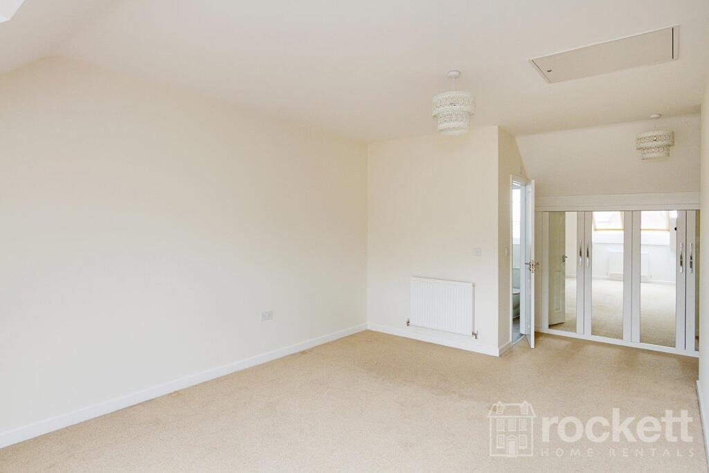
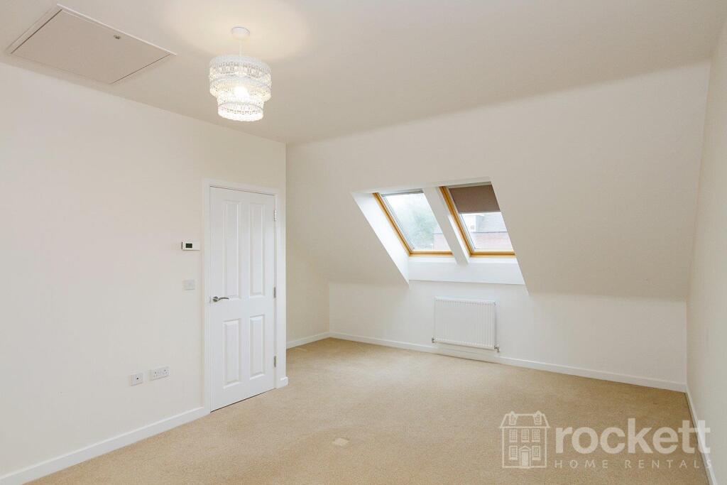
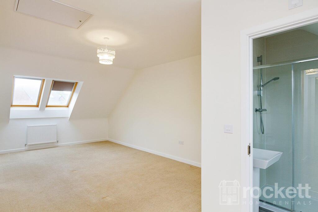
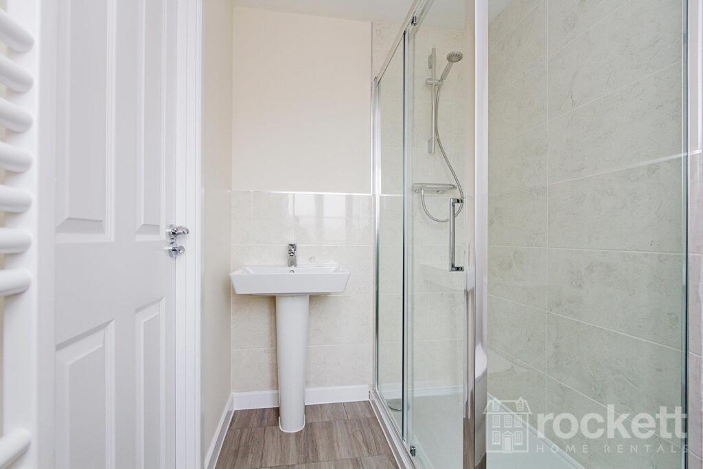
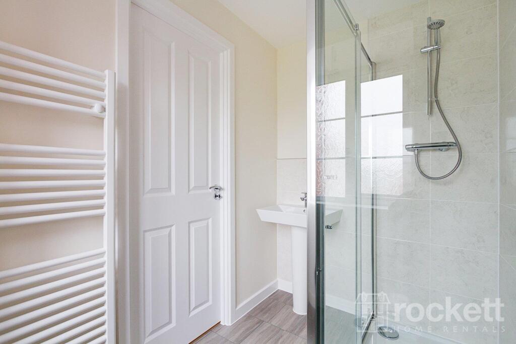
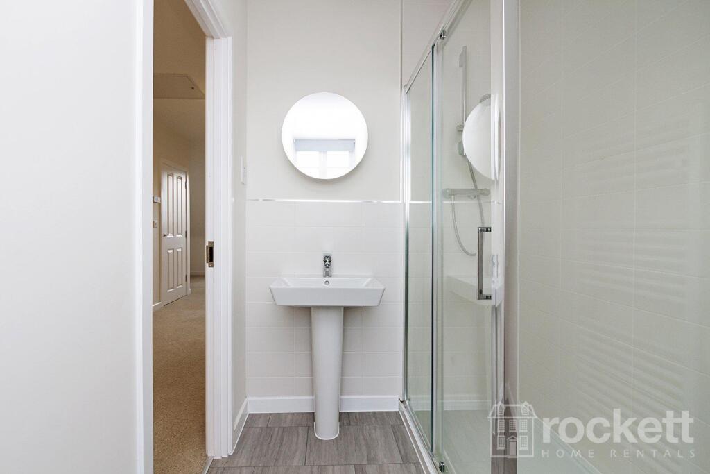
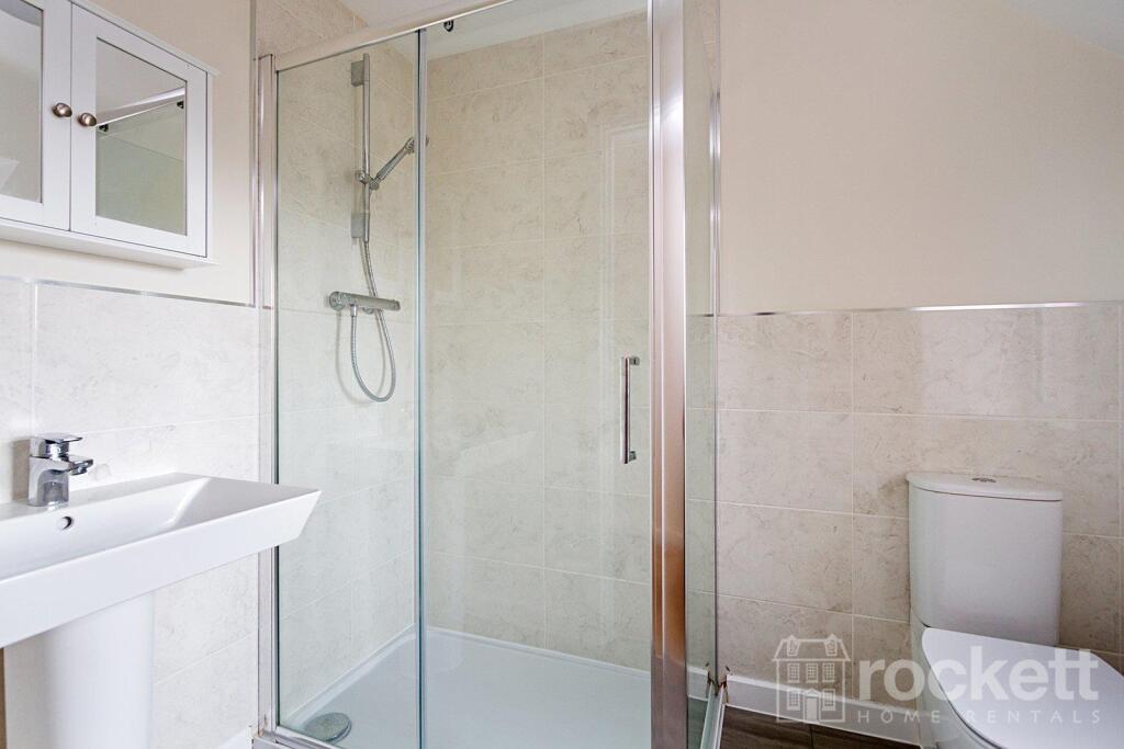
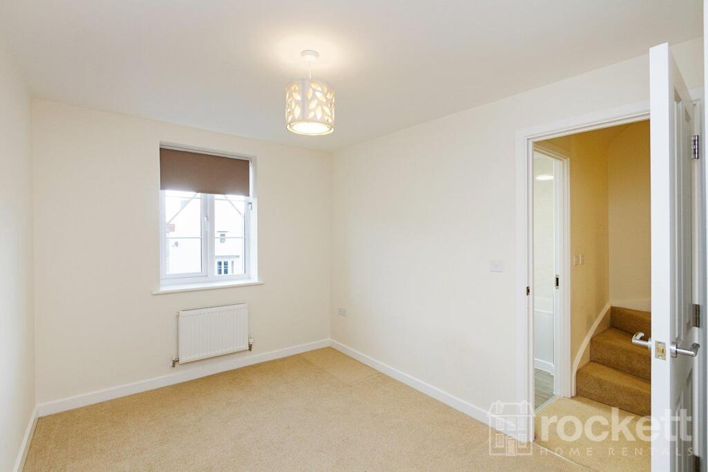
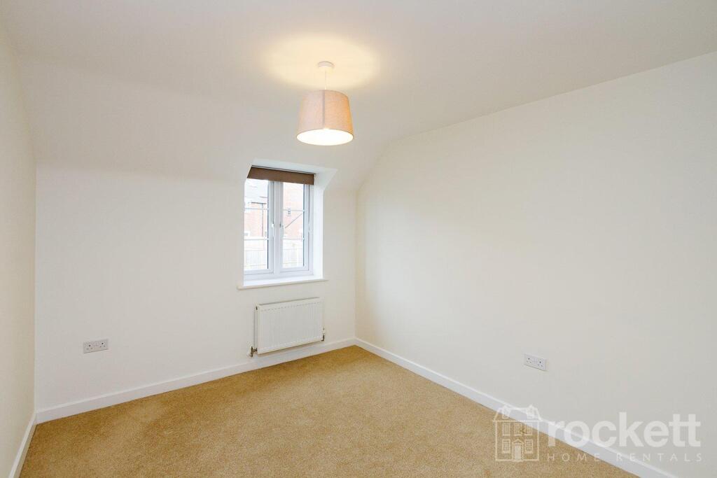
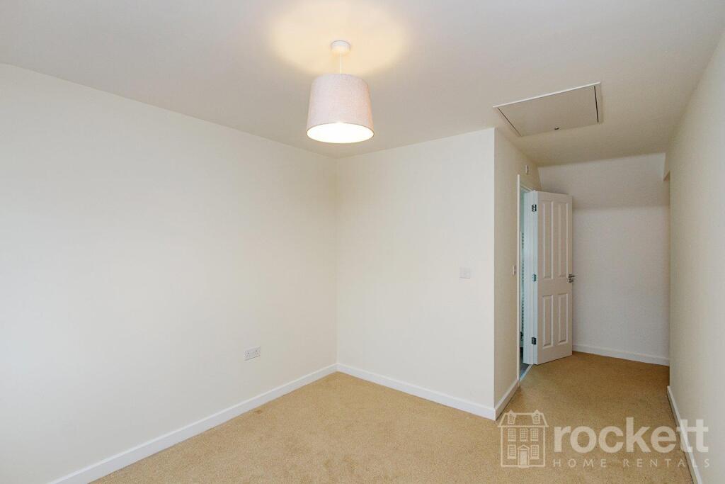
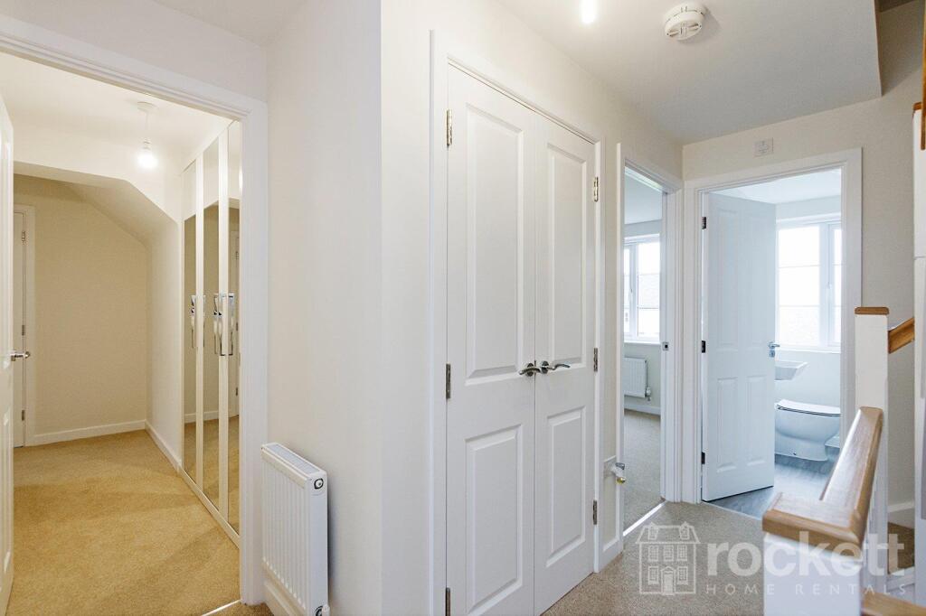
Picture 1 Picture 2 Picture 3 Picture 4 Picture 5 Picture 6 Picture 7 Picture 8 Picture 9 Picture 10 Picture 11 Picture 12 Picture 13 Picture 14 Picture 15 Picture 16 Picture 17 Picture 18 Picture 19 Picture 20 Picture 21 Picture 22 Picture 23 Picture 24 Picture 25 Picture 26 Picture 27 Picture 28 Picture 29 Picture 30 Picture 31 Picture 32 Picture 33 Picture 34 Picture 35 Picture 36 Picture 37 Picture 38 Picture 39 Picture 40 Picture 41 Picture 42 Picture 43 Picture 44 Picture 45 Picture 46 Picture 47 Picture 48 Picture 49 Picture 50 Picture 51 Picture 52 Picture 53 Picture 54 Picture 55 Picture 56 Picture 57 Picture 58 Picture 59 Picture 60 Picture 61 Picture 62 Picture 63
/ 63
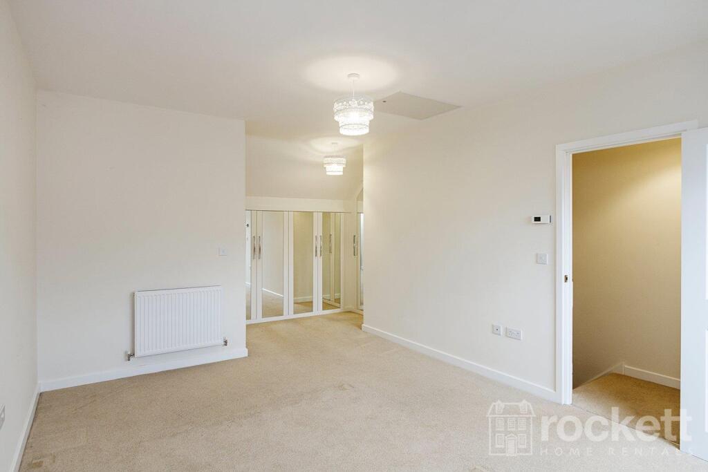
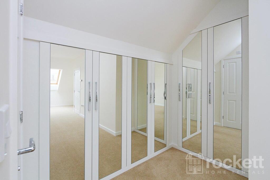
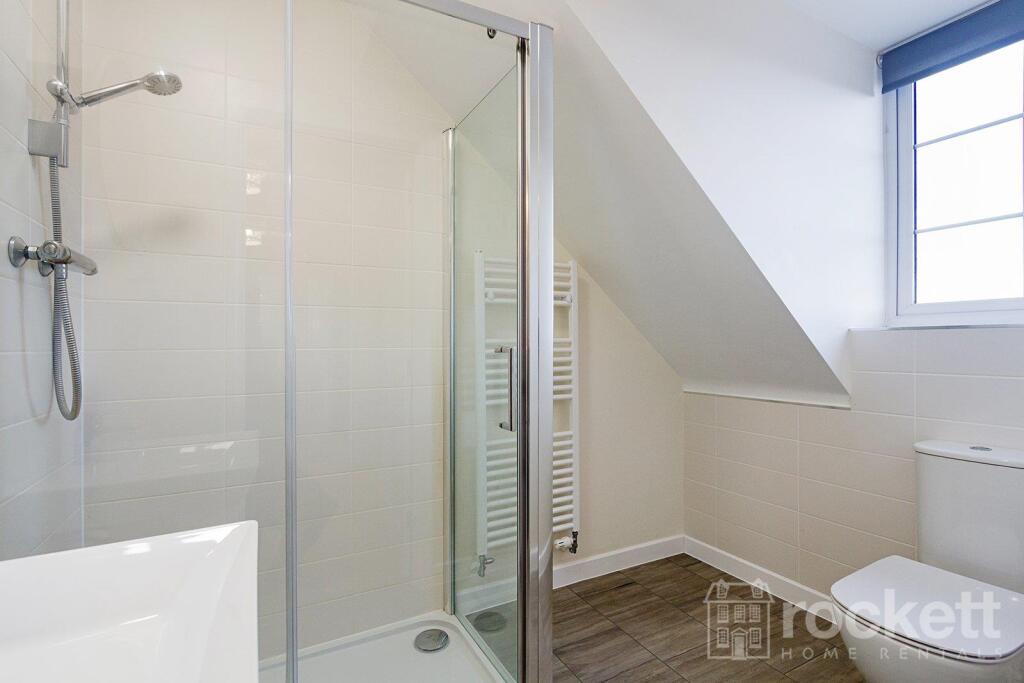
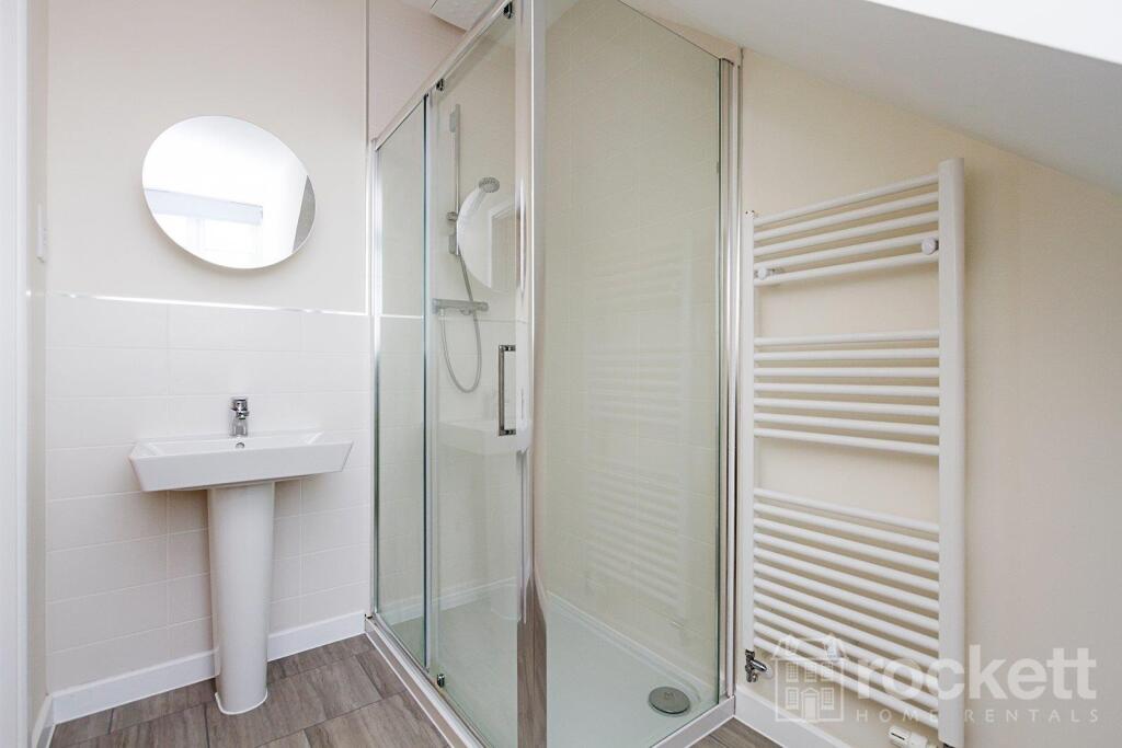
Property details
Floor area
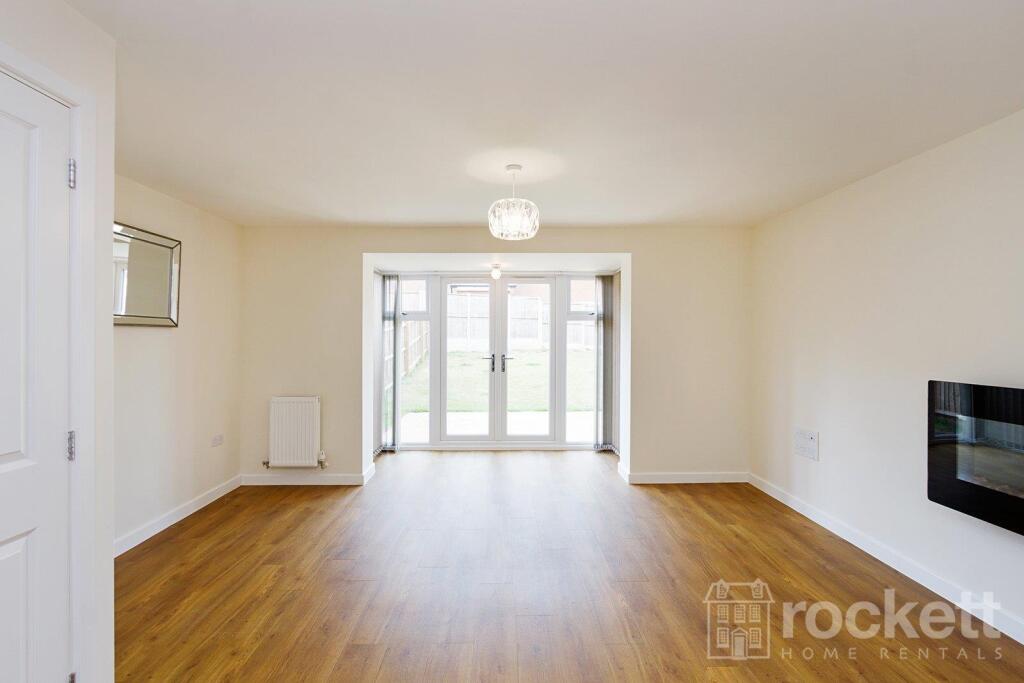
127 m²
Council tax band
E
Street crime
68 incidents within 1 mile (Apr 2026)
Additional details
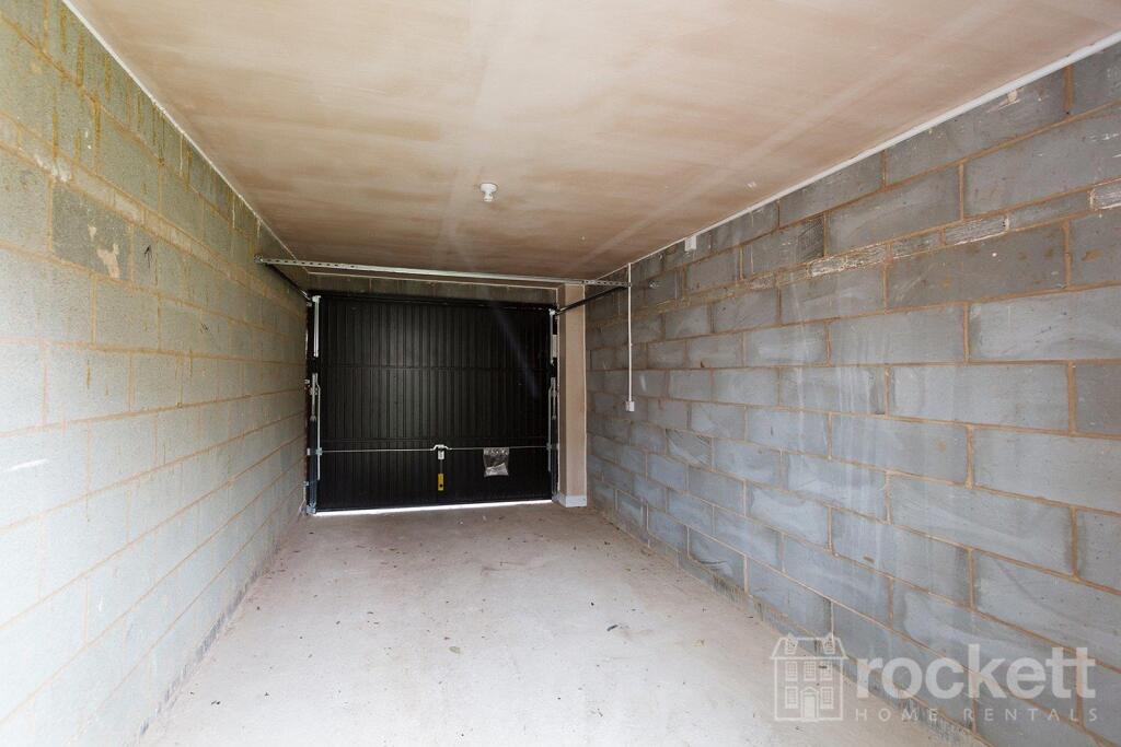
- Parking
- Garage, Driveway
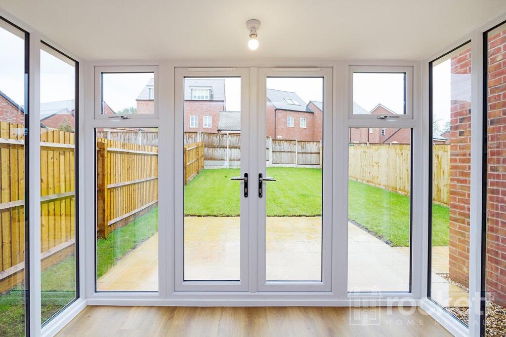
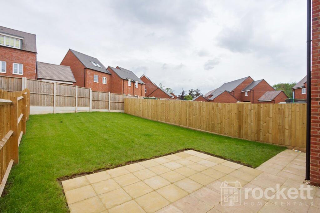
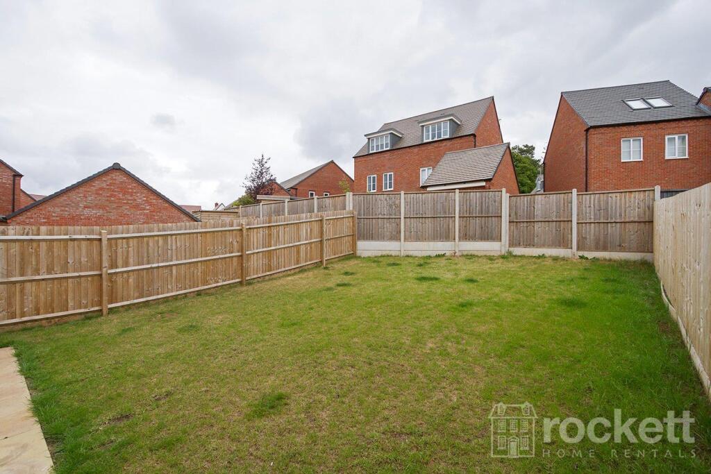
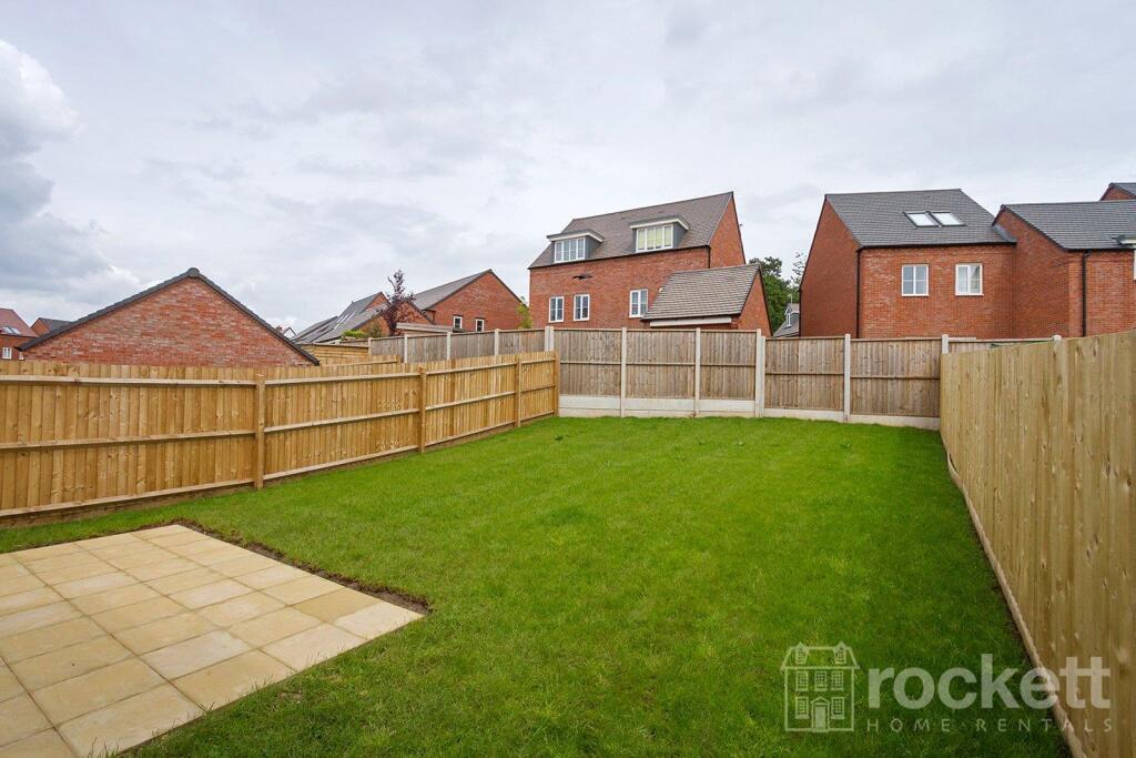
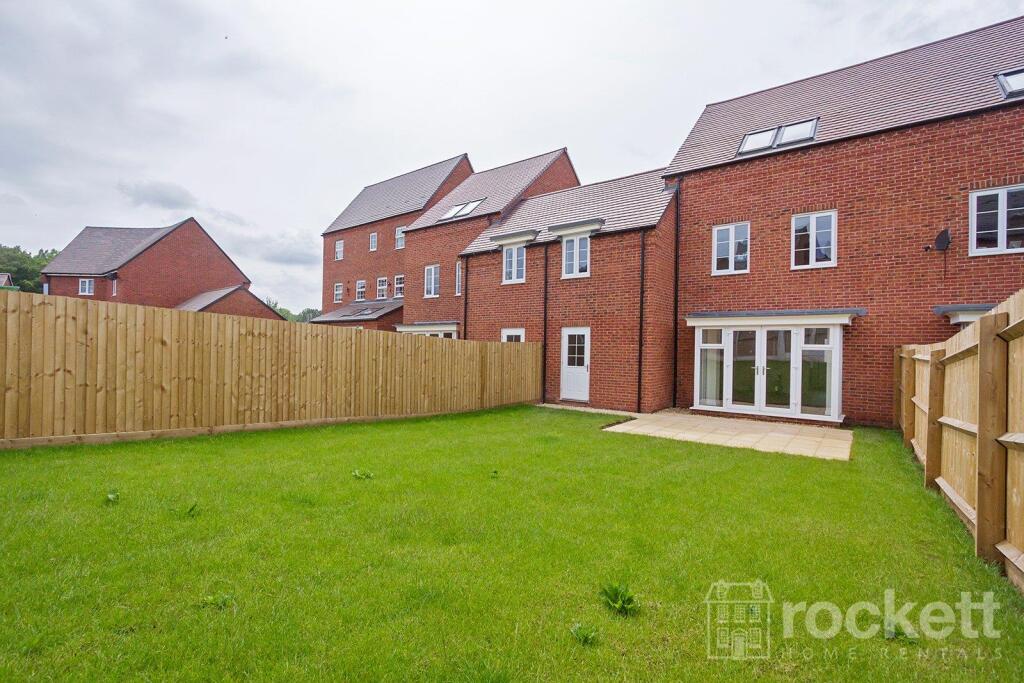
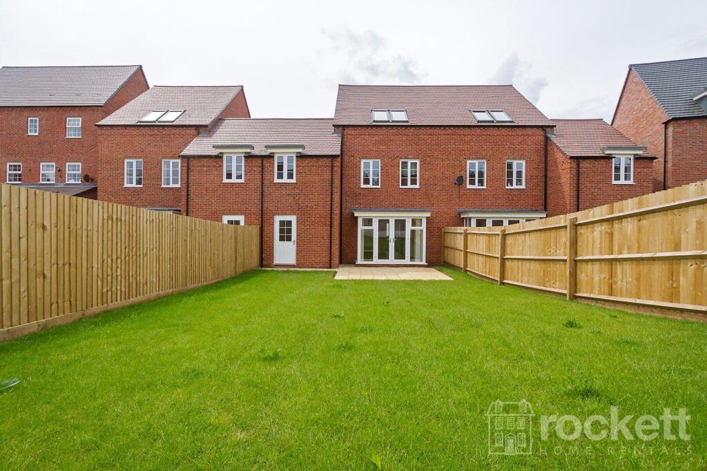
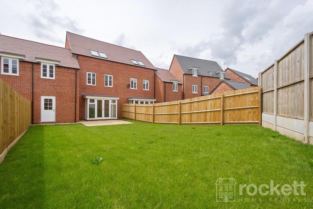
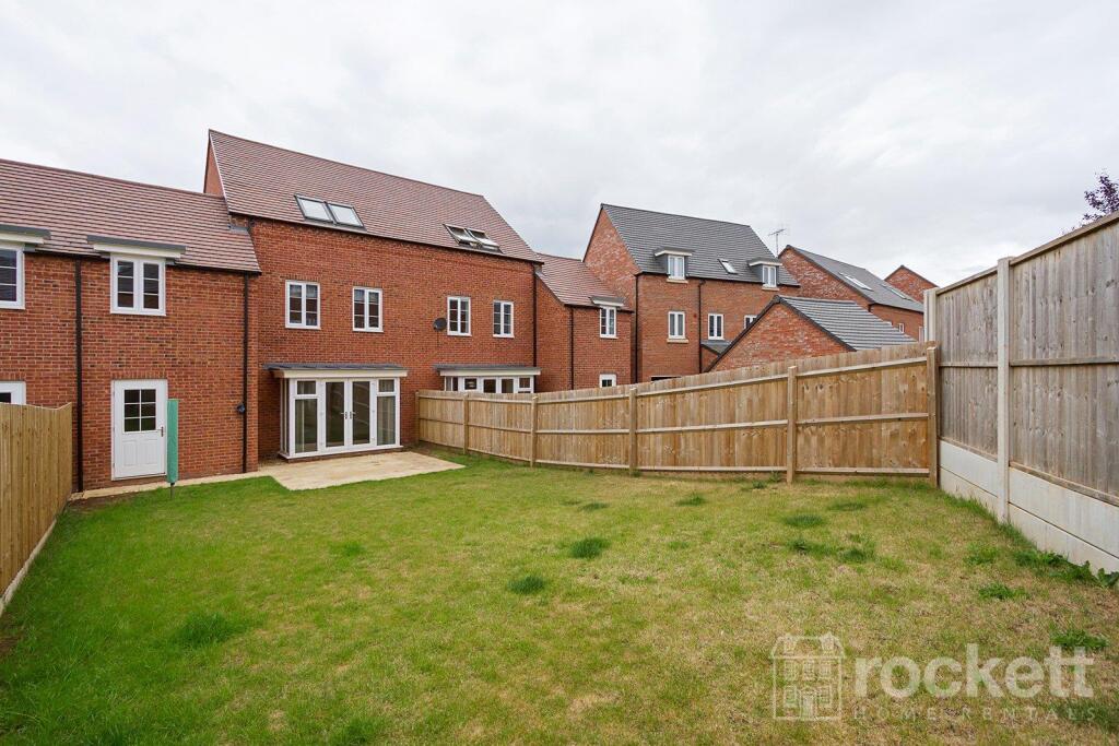
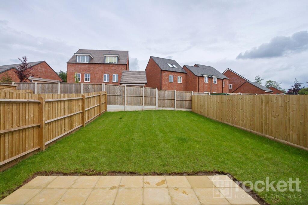
- Garden
- Yes
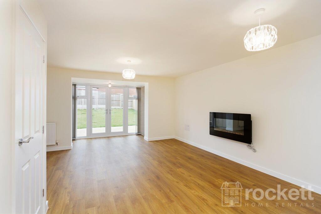
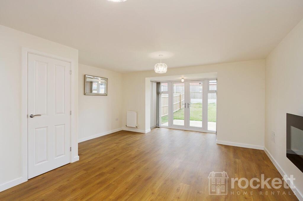
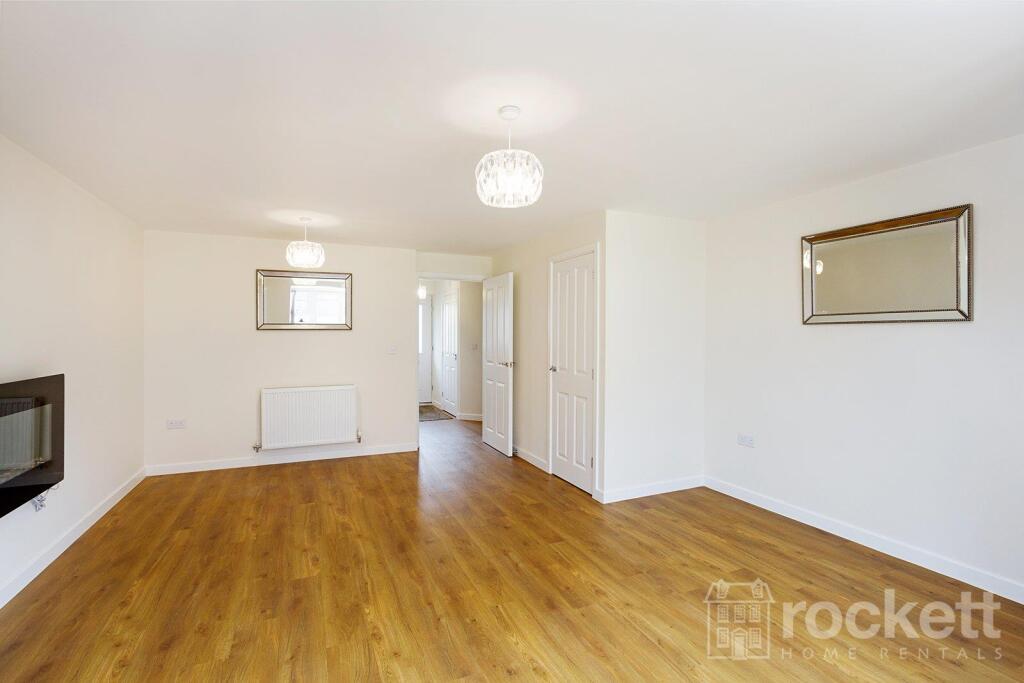
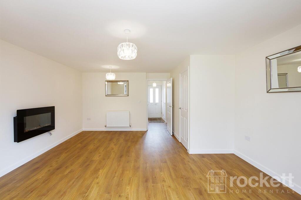
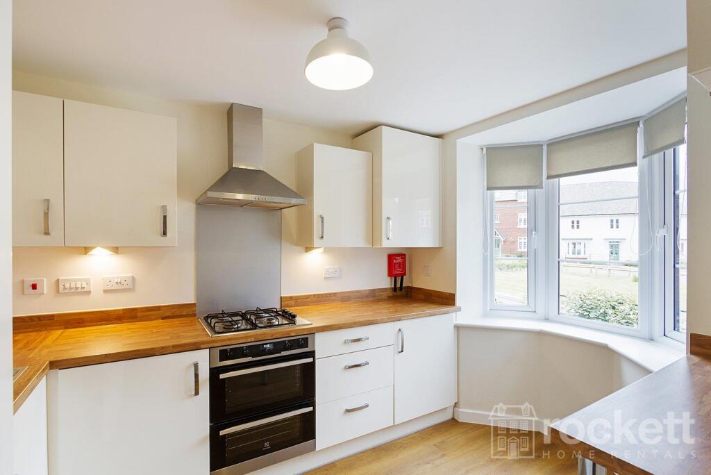
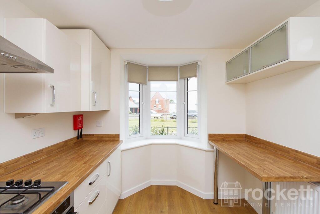
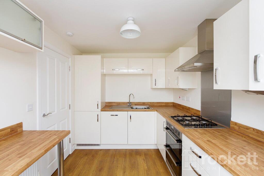
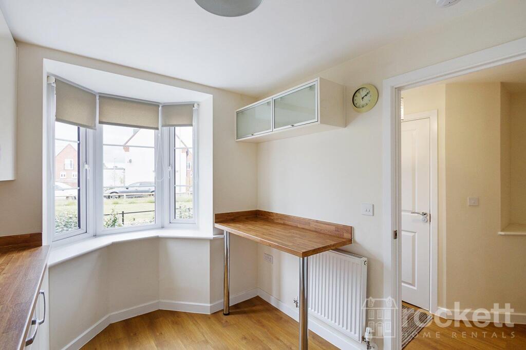
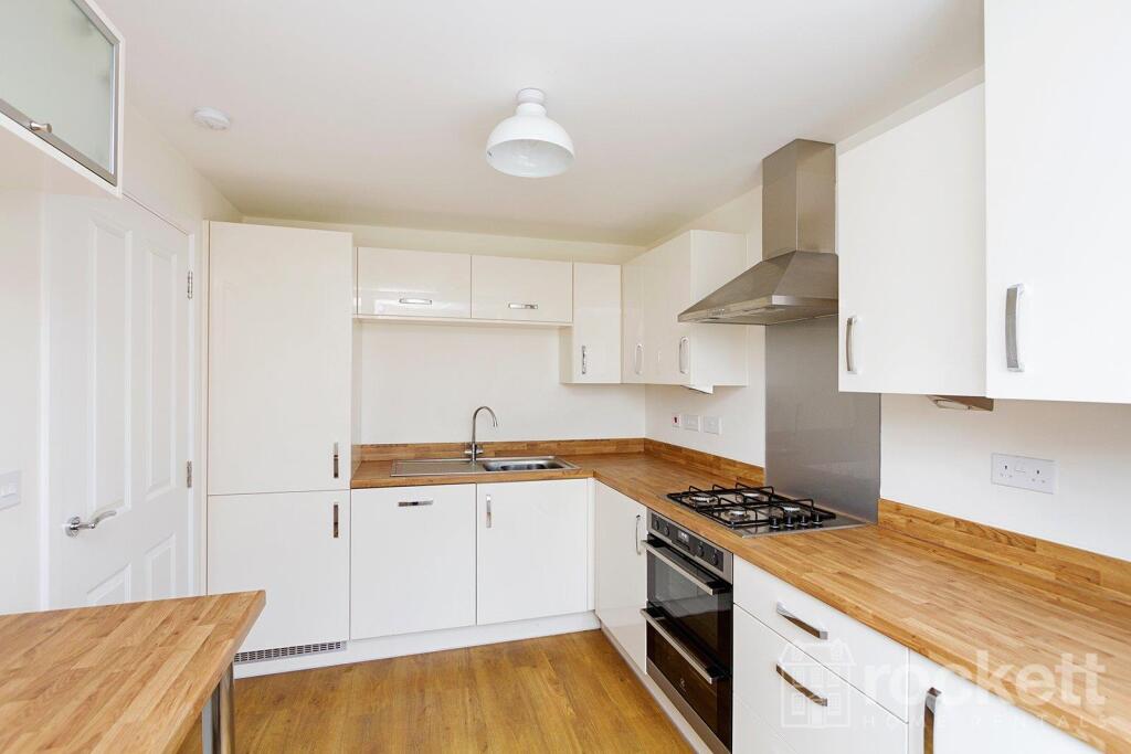
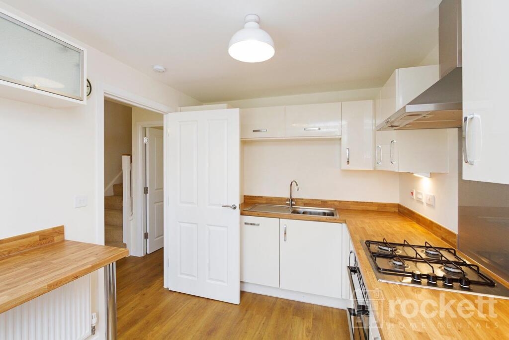
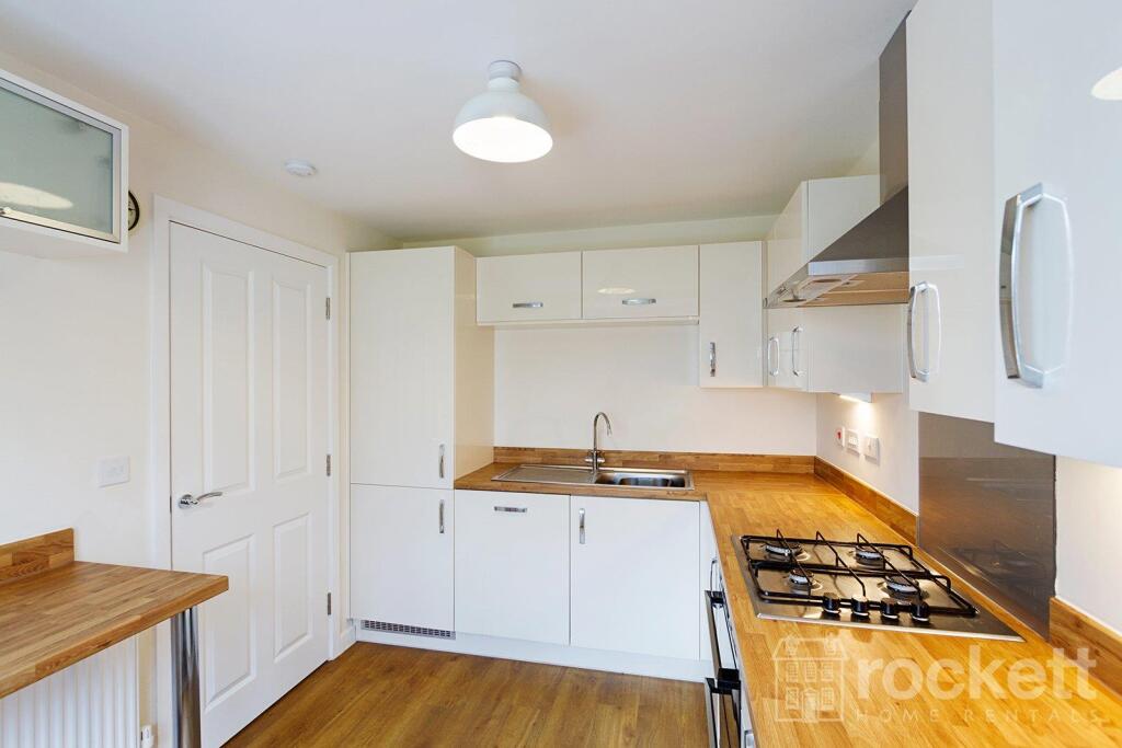
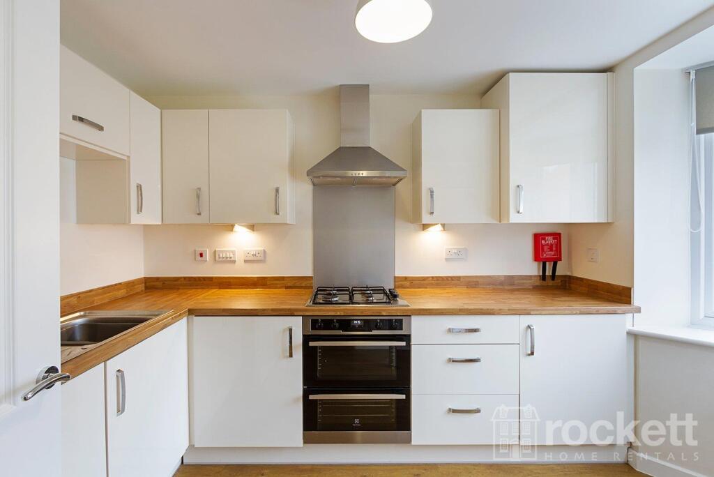
Description
We have created a brochure for you full of lots of information on the property:
Listed by
Wolstanton
Rockett Home Rentals Ltd
Reference: 174500933
EPC Rating & Upgrade Cost
Fetching EPC data… Refresh this page in a moment.
Flood risk
Zone: 1
Risk: Low
Job (default Low)
EPC Graphs
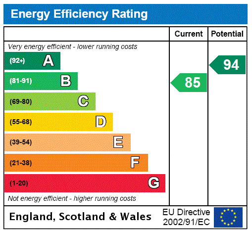
EPC Rating Graph
Rental Range
Estimated market rent for Stoke-on-Trent. Low = conservative, Realistic = average, Optimistic = best case.
Based on Local Authority from postcode lookup → Stoke-on-Trent.
LHA (30th percentile) floor for Staffordshire North: £798/mo (Apr 2025 – Mar 2026)
Location
Address
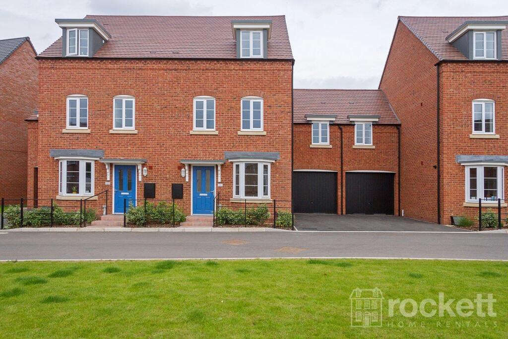
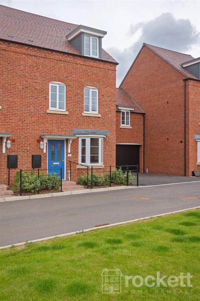
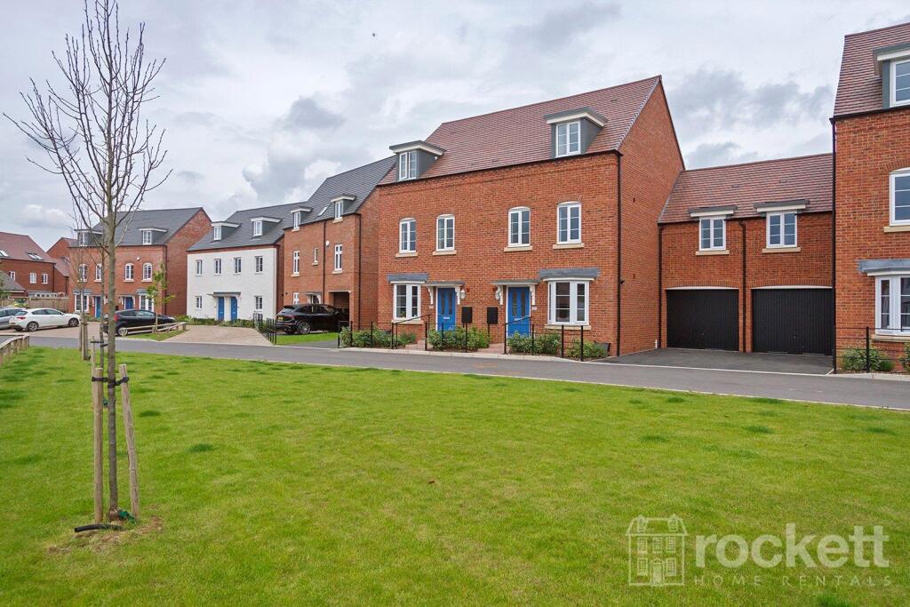
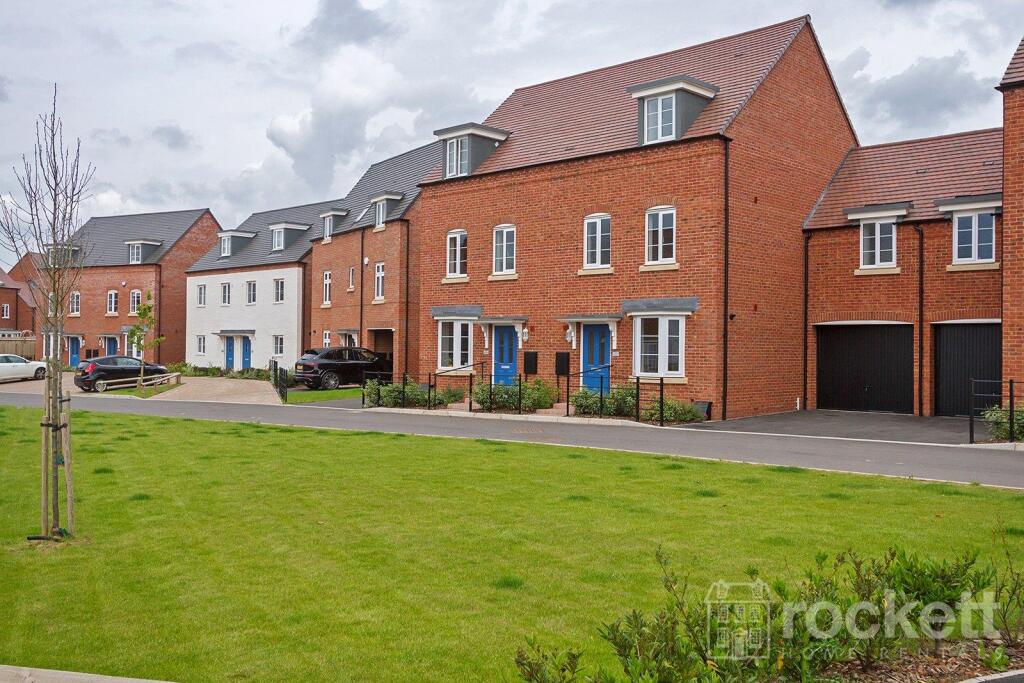
44 Renaissance Way
Nearby
Nearest stations, universities and amenities (distance from property).
| Type | Name | Distance |
|---|---|---|
| Shop | Josiah & Co. | 0.1 miles |
| Shop | Wedgwood Shop | 0.1 miles |
| Bus stop | Flaxman Close | 0.4 miles |
| Train station | Unknown | 1.2 miles |
| Train station | Trentham Leisure | 1.3 miles |
| Hospital | North Staffordshire Nuffield Hospital | 3.2 miles |
| Hospital | Royal Stoke University Hospital | 3.7 miles |
| University | Keele University | 5.3 miles |
| University | Staffordshire University Blackheath Lane Site | 10.6 miles |
Street-level crime
| Category | Count |
|---|---|
| Violence and sexual offences | 27 |
| Anti-social behaviour | 13 |
| Criminal damage and arson | 6 |
| Burglary | 5 |
| Other theft | 5 |
| Shoplifting | 3 |
| Drugs | 2 |
| Other crime | 2 |
| Public order | 2 |
| Vehicle crime | 2 |
| Robbery | 1 |
| Total incidents | 68 |
Within 1 mile during Apr 2026. Source: data.police.uk (England & Wales).
Schools nearby
Nearest open schools with Ofsted ratings (England). Closed schools are not shown. Data from Get Information about Schools and Ofsted.
| Name | Type | Distance | Ofsted |
|---|---|---|---|
| Strathmore College | Other | 0.9 miles | — (No rating) |
| Newstead Primary Academy | Primary | 0.9 miles | Outstanding — 10 Sep 2024 |
| Barlaston CofE (VC) First School | Primary | 0.9 miles | Good — 19 Jun 2024 |
| Ash Green Primary Academy | Primary | 1.0 miles | Good — 3 Jun 2015 |
| Ormiston Sir Stanley Matthews Academy | Secondary | 1.2 miles | Good — 10 Nov 2017 |
Rental Comparables
Loading rental comparables for this postcode. Refresh in a few minutes.