41 SPRING SHAW ROAD
ORPINGTON, GREATER LONDON BR5 2RH
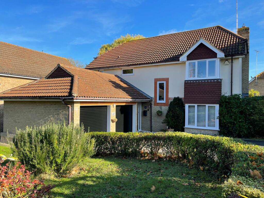
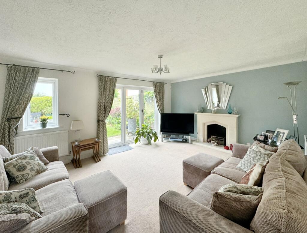
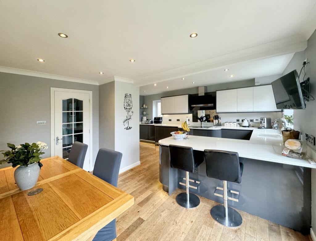
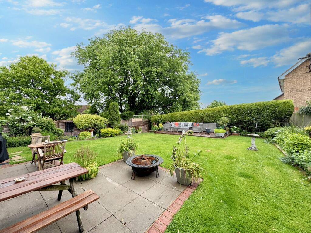
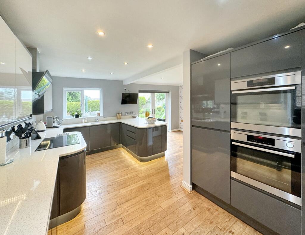
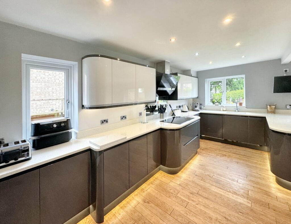
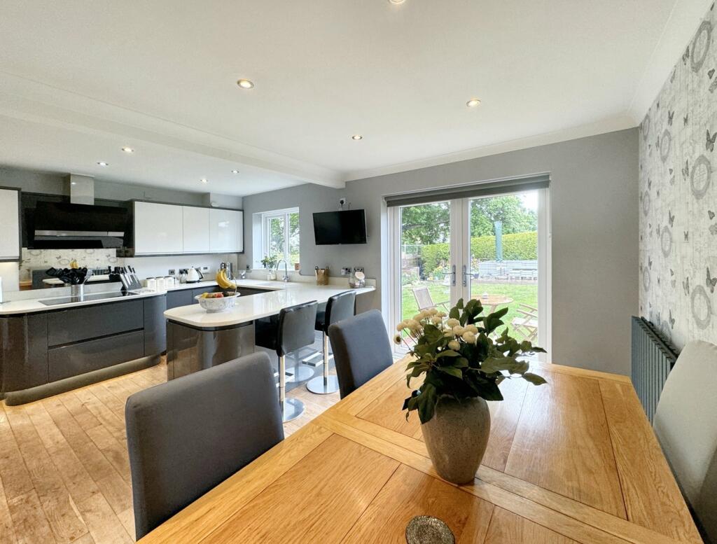
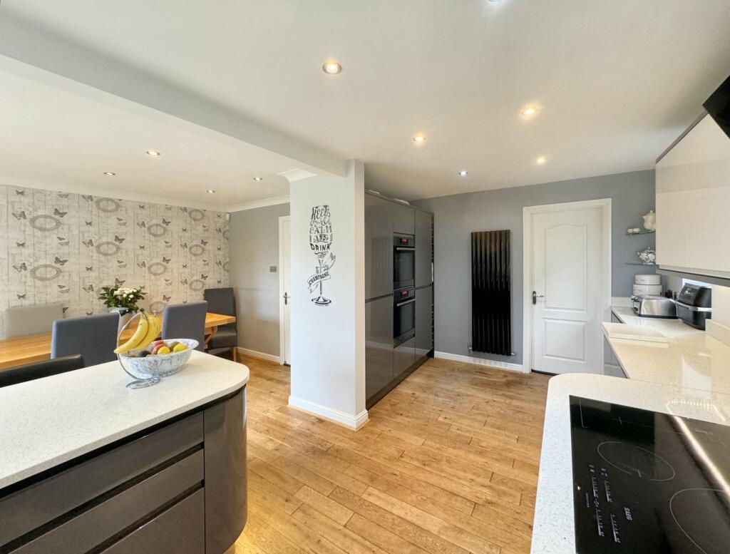
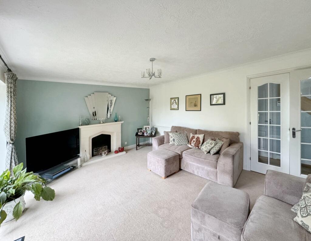
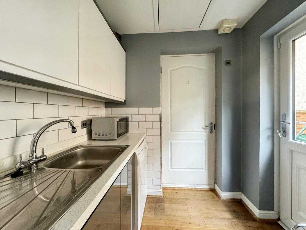
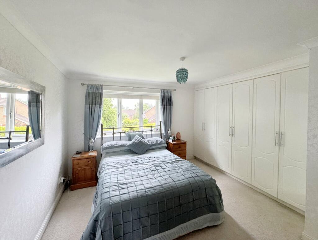
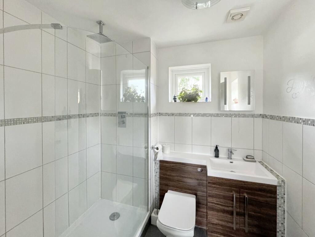
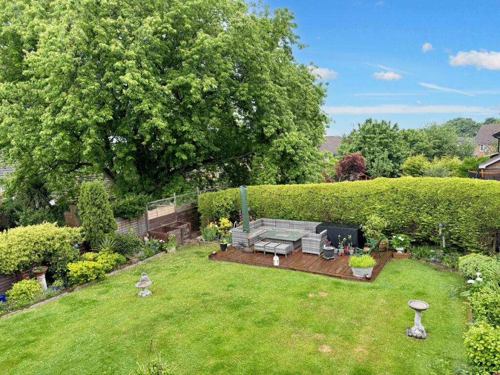
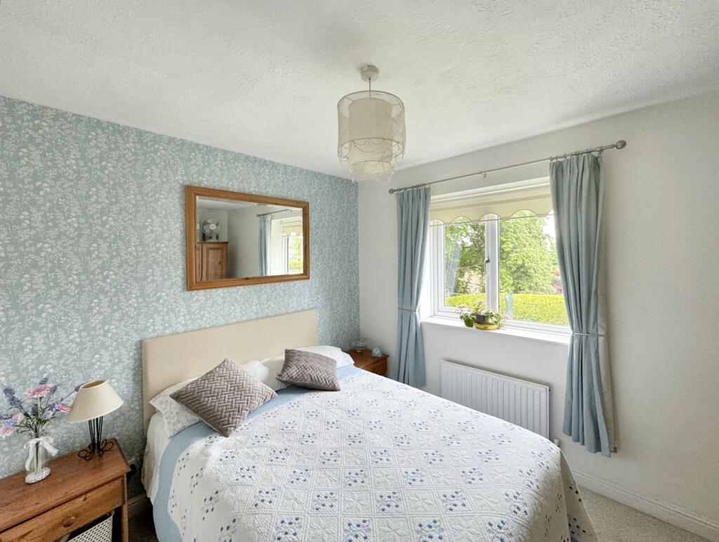
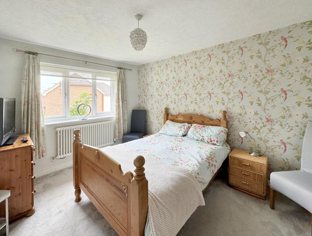
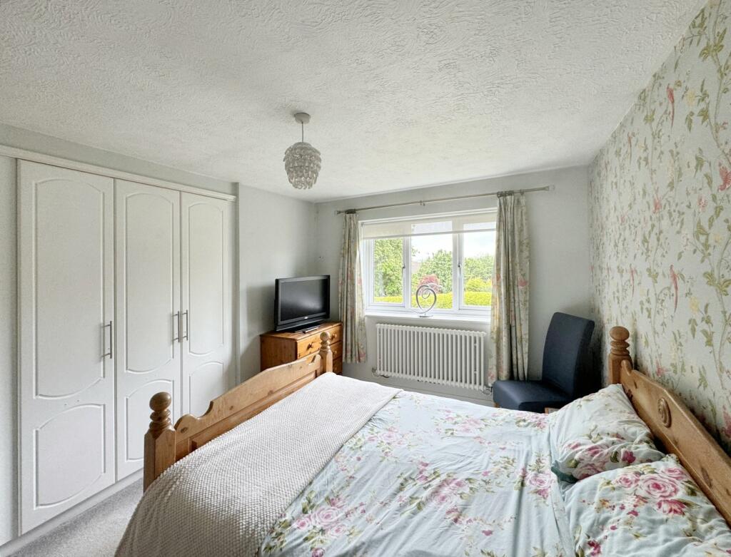
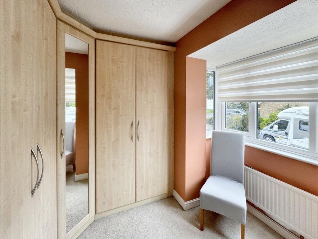
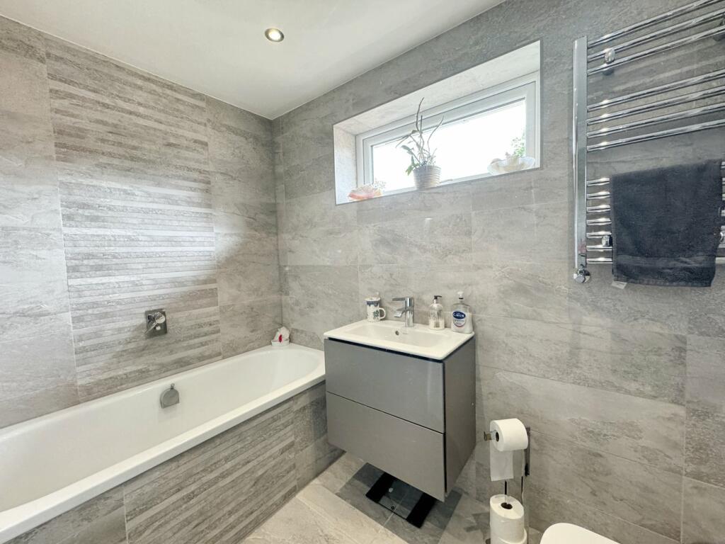
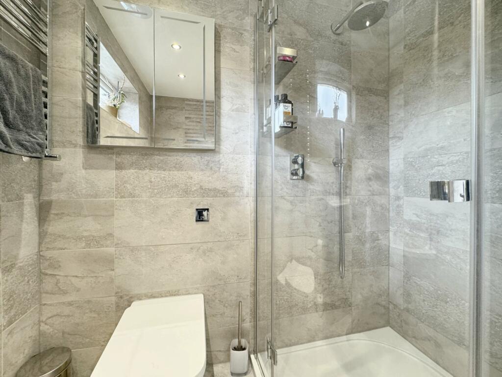
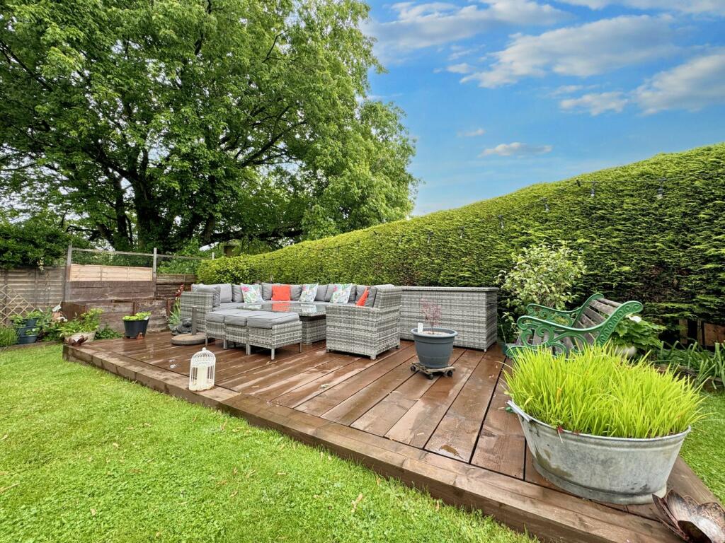
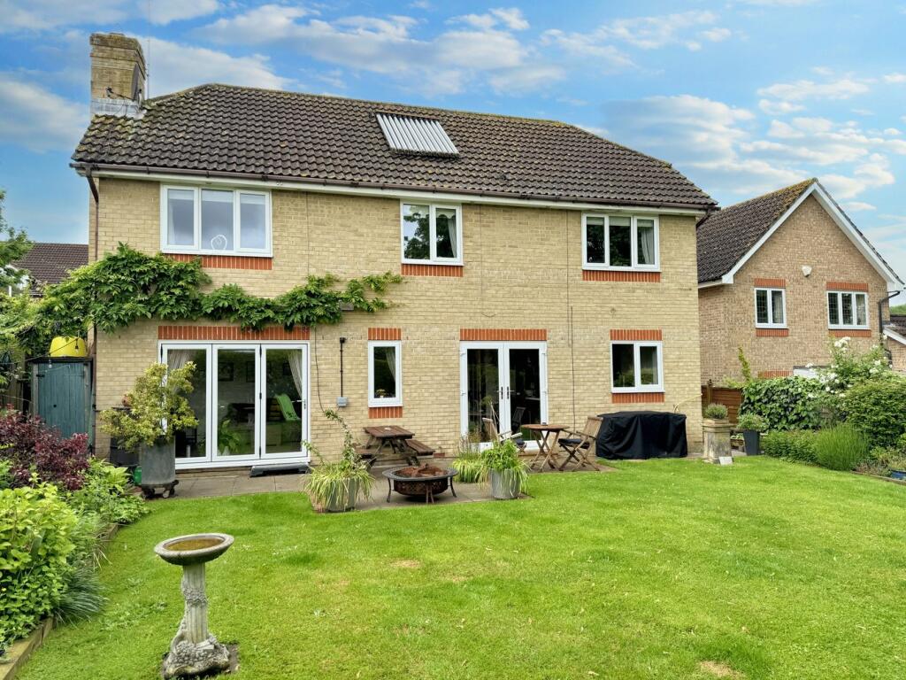

Photo 1 Photo 2 Photo 3 Photo 4 Photo 5 Photo 6 Photo 7 Photo 8 Photo 9 Photo 10 Photo 11 Photo 12 Photo 13 Photo 14 Photo 15 Photo 16 Photo 17 Photo 18 Photo 19 Photo 20 Photo 21 Photo 22 Photo 23 Photo 24 Photo 25
/ 25
Property details
Tenure
FREEHOLD
Floor area
134 m²
Council tax band
G
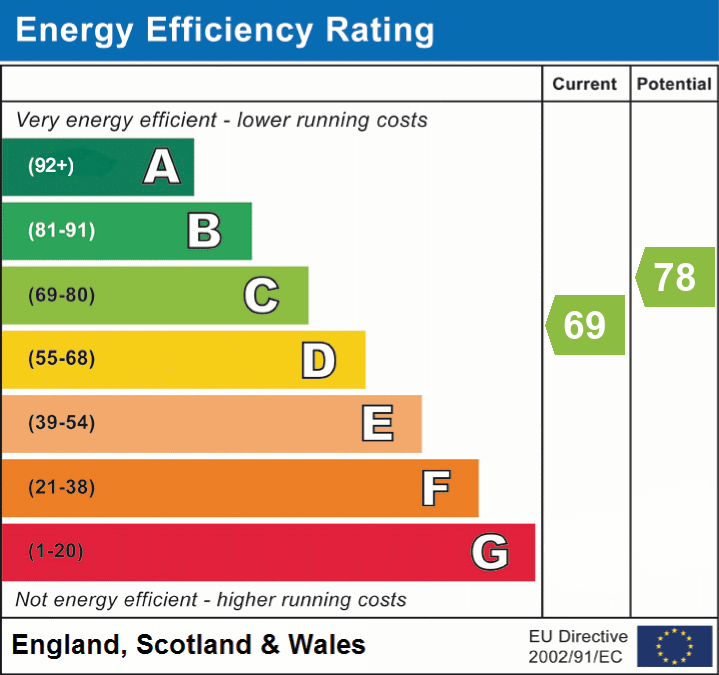
EPC rating
C
Year built
England and Wales: 1996-2002
Last sold
£775,000 Apr 2025
Price per m²
£5,821/m²
Local average
£804,231 (-3%)
Deprivation
Decile 3 (8,777 of 33,755)
Street crime
229 incidents within 1 mile (Apr 2026)
Key features
- Substantial Family Home
- Four Generous Bedrooms
- En Suite Shower Room
- Spacious Living Room
- Large Dining Kitchen
- Separate Home Office
- Utility Room
- Large Plot Size
- Attached Double Garage
- Cul De Sac Aspect
Additional details
- Parking
- Yes
- Garden
- Yes
- Listed property
- No
- Restrictions
- No
- Required access
- No
- Rights of way
- No
- Flooded in last 5 years
- No
- Flood defences
- No
Description
Listed by
Petts Wood
Proctors
Reference: 148280906
EPC Rating & Upgrade Cost
Current rating: C
Potential rating: C
Inspection date: 15/11/2021
Expiry date: 14/11/2031
Current heating cost: £713/year
Potential heating cost: £680/year
Est. upgrade cost to C: £9,525
Recommendations
- Floor insulation (solid floor) (£4,000 - £6,000)
- Low energy lighting for all fixed outlets (£25)
- Solar photovoltaic panels, 2.5 kWp (£3,500 - £5,500)
Flood risk
Zone: 1
Risk: Low
Job (default Low)
Floorplans
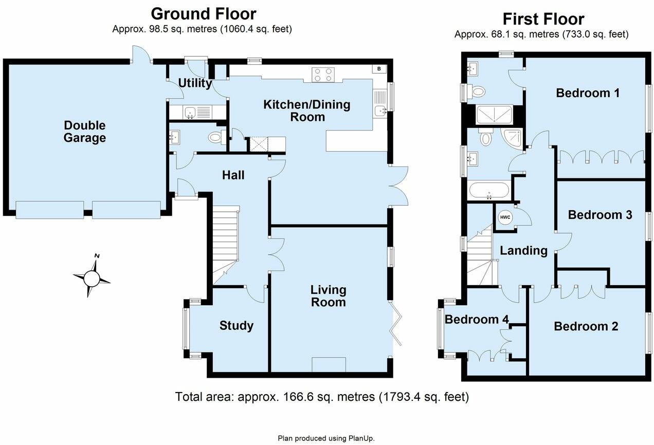
Floorplan 1
EPC Graphs
EPC 1
FENSA Certificates
This property has 1 FENSA certificate(s) on record, indicating window/door installations by FENSA-approved installers.
FENSA Certificate #12342757
Property Details
Street: 41 Spring Shaw Road
Town: ORPINGTON
Postcode: BR5 2RH
Installation Details
Items: 16 windows and 4 doors
Certificate Issued: 15/05/2017
Work Completed: 04/04/2017
This certificate data was retrieved from FENSA's database
What is FENSA? FENSA (Fenestration Self-Assessment Scheme) is a government-authorised scheme that monitors building regulation compliance for replacement windows and doors. Certificates indicate that work was completed by FENSA-approved installers.
Price history
| Event | Date | Price | % change |
|---|---|---|---|
| Sold | 17/04/2025 (1 year ago) | £775,000 | — |
Source: HM Land Registry Price Paid Data. Crown copyright.
Sold Comparables
Same street and nearby sales within 0.25 miles (last 5 years). Data from Land Registry Price Paid.
| Address | Price | Date | Type |
|---|---|---|---|
| 46 SPRING SHAW ROAD, ORPINGTON, BROMLEY, GREATER LONDON, BR5 2RH | £710,000 | 05/09/2022 | Detached |
| 4 SPRING SHAW ROAD, ORPINGTON, BROMLEY, GREATER LONDON, BR5 2RH | £646,992 | 30/08/2022 | Detached |
| 16 ST PAULS WOOD HILL, ORPINGTON, BROMLEY, GREATER LONDON, BR5 2SY | £755,000 | 15/08/2022 | Detached |
| 54 SPRING SHAW ROAD, ORPINGTON, BROMLEY, GREATER LONDON, BR5 2RH | £620,000 | 01/07/2022 | Detached |
| 17 ATHELSTAN WAY, ORPINGTON, BROMLEY, GREATER LONDON, BR5 2QX | £720,000 | 24/11/2021 | Detached |
Area average: £690,398 (5 sales)
Capital growth trend
Land Registry outcode average: last 12 months vs 5y and 10y ago (from sold prices).
House Price Index (HM Land Registry — official index, not sold-price averages): Bromley. Series: Detached. As of March 2026.
Rental Range
Estimated market rent for Bromley. Low = conservative, Realistic = average, Optimistic = best case.
Based on Local Authority from postcode lookup → Bromley.
LHA (30th percentile) floor for Outer South East London: £1,795/mo (Apr 2025 – Mar 2026)
Location
Nearby
Nearest stations, universities and amenities (distance from property).
| Type | Name | Distance |
|---|---|---|
| Bus stop | Breakspears Drive | 0.1 miles |
| Shop | BR Ink | 0.3 miles |
| Shop | Beautiful Nails | 0.3 miles |
| Train station | St Mary Cray | 0.9 miles |
| Train station | Petts Wood | 1.8 miles |
| Hospital | Chelsfield Park Hospital | 3.7 miles |
| Hospital | Sloane Hospital | 4.6 miles |
| University | University of Greenwich | 6.9 miles |
| University | Northeastern University London | 10.1 miles |
Street-level crime
| Category | Count |
|---|---|
| Violence and sexual offences | 79 |
| Anti-social behaviour | 39 |
| Shoplifting | 31 |
| Vehicle crime | 19 |
| Public order | 17 |
| Other theft | 12 |
| Drugs | 9 |
| Burglary | 7 |
| Criminal damage and arson | 6 |
| Robbery | 4 |
| Other crime | 2 |
| Possession of weapons | 2 |
| Theft from the person | 2 |
| Total incidents | 229 |
Within 1 mile during Apr 2026. Source: data.police.uk (England & Wales).
Schools nearby
Nearest open schools with Ofsted ratings (England). Closed schools are not shown. Data from Get Information about Schools and Ofsted.
| Name | Type | Distance | Ofsted |
|---|---|---|---|
| Midfield Primary School | Primary | 0.2 miles | Outstanding — 6 Dec 2017 |
| Gray's Farm Primary Academy | Primary | 0.5 miles | Good — 12 Sep 2016 |
| Kemnal Technology College | Secondary | 0.5 miles | Requires improvement — 21 Sep 2022 |
| St Peter and St Paul Catholic Primary School | Primary | 0.6 miles | Good — 8 Sep 2017 |
| Leesons Primary School | Primary | 0.7 miles | Requires improvement — 30 Jan 2023 |
Rental Comparables
Residential lets from OpenRent and Rightmove for the area (same bedroom count). Use to validate rent estimates. Student lets are excluded.
| Title | Rent | Beds | Distance | As seen on |
|---|---|---|---|---|
| 4 Bed Detached House, Spring Shaw Road, BR5 | £2,800/mo | 4 | 0.12 miles | OpenRent |
| 4 Bed End Terrace, Ringshall Road, BR5 | £2,595/mo | 4 | 0.57 miles | OpenRent |
Average rent: £2,698/mo (2 listings)
Rent-driven metrics
Based on OpenRent comparables.
- Rent ratio — Monthly rent ÷ purchase price (1% rule). 1%+ = strong, 0.8–1% = okay, <0.8% = weak for cashflow.
- Max investor price — Rent ÷ 0.8%; the price at which rent would be 0.8% of price (Stoke-style target).
- Target investor price — Rent ÷ 1%; the price at which rent would be 1% of price (strong cashflow band).
- Gross yield — Annual rent as % of purchase price (no costs).
- Cost-to-rent — Price ÷ annual rent (from OpenRent comparables). Under 14× = strong, 14–16× = acceptable, 17×+ = compressed.
- Cashflow — Rent minus mortgage, 10% maintenance, £25/mo compliance. Assumes 75% LTV, 3.95% APR (5yr fixed), 25yr term.
- ROI — Annual profit ÷ cash in (deposit + 4% purchase costs).