79 EDINBURGH ROAD
CONGLETON, CHESHIRE EAST CW12 3EN
£1,100 pcm
Property details
Floor area
80 m²
Council tax band
B
Deprivation
Decile 3 (9,001 of 33,755)
Street crime
127 incidents within 1 mile (Aug 2026)
Key features
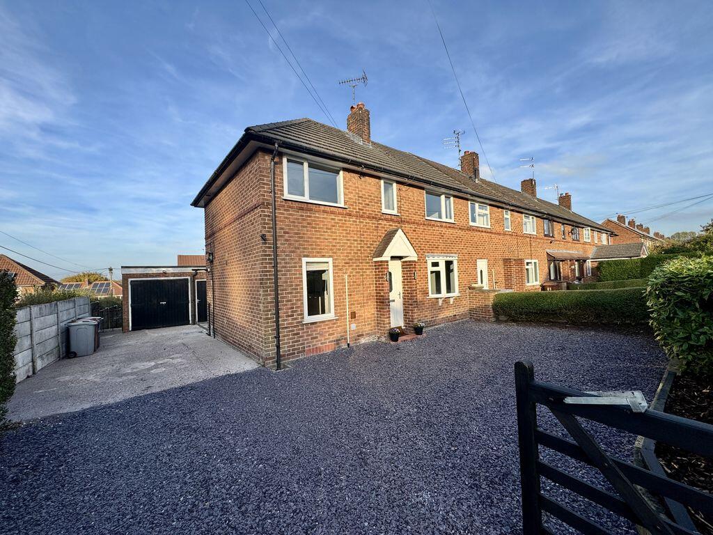
- TASTEFULLY UPDATED END OF TERRACE
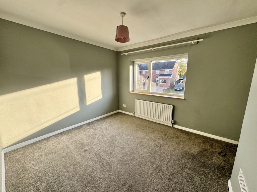
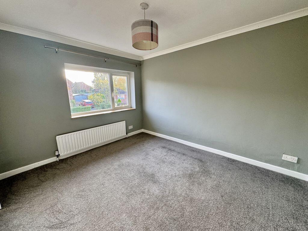
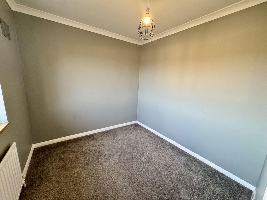
- THREE WELL PROPORTIONED BEDROOMS
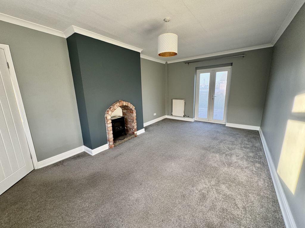
- SPACIOUS LOUNGE
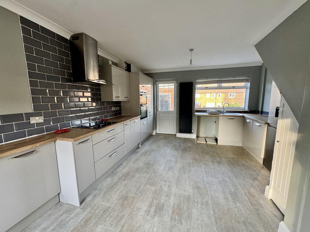
- MODERN BREAKFAST KITCHEN
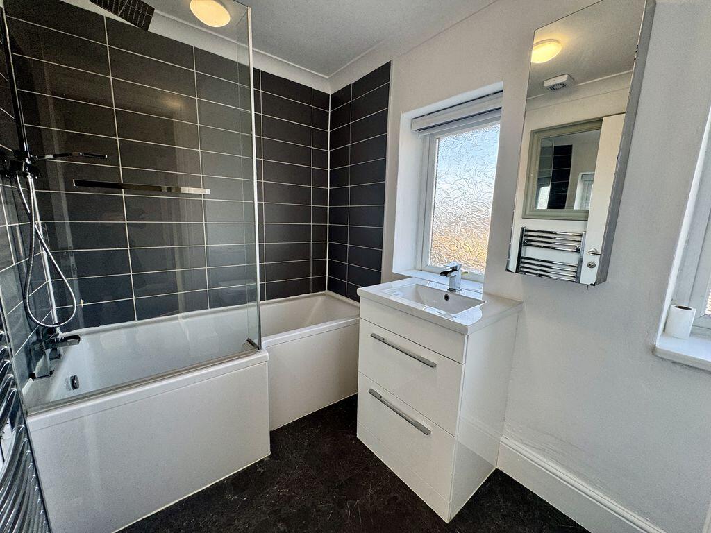
- STYLISH FAMILY BATHROOM
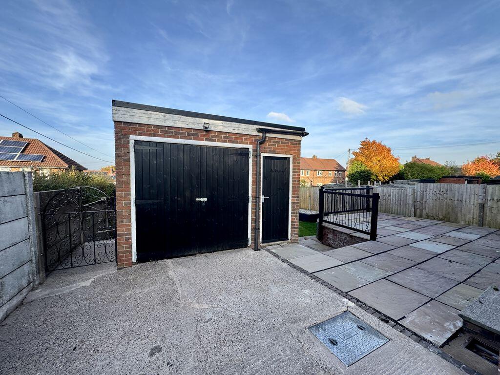
- GENEROUS DRIVEWAY AND DETACHED GARAGE
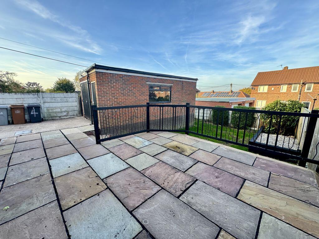
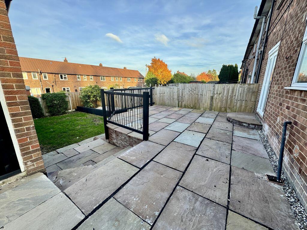
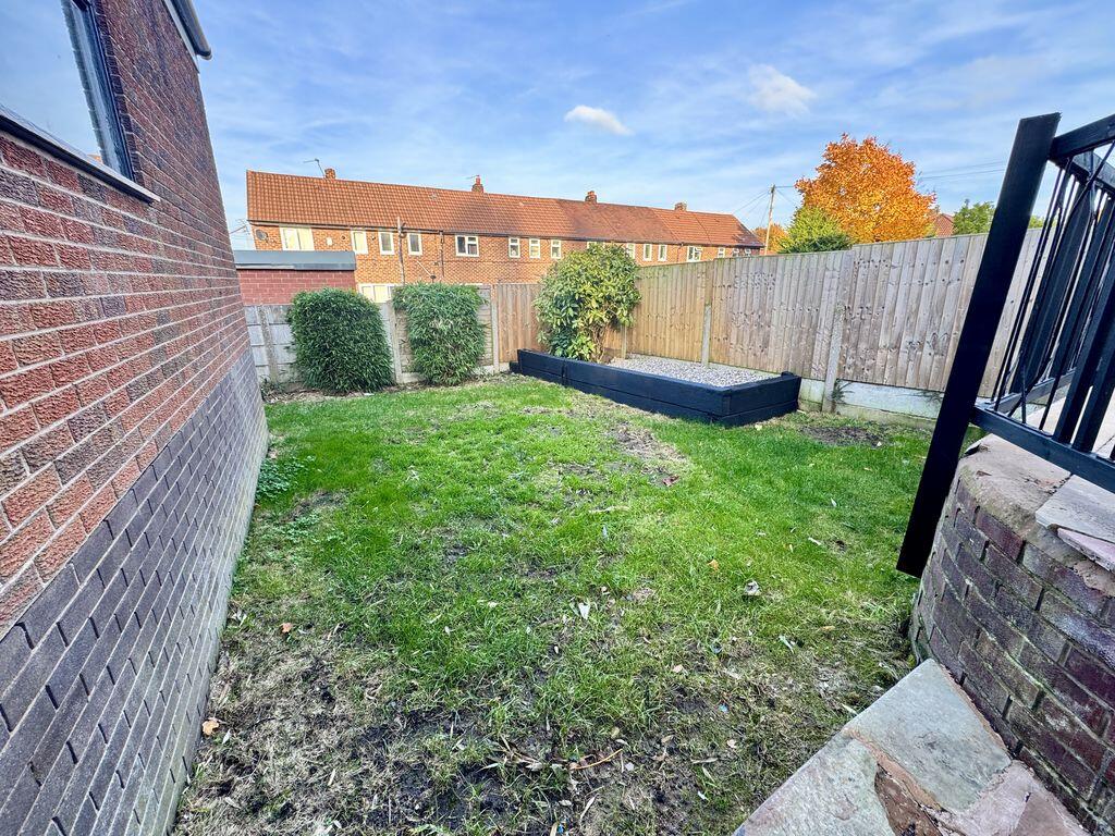
- PLEASANT LAWNED GARDENS WITH INDIAN STONE PAVED TERRACE
- CONVENIENT FOR CONGLETON PARK, BIDDULPH VALLEY WALKWAY AND TOWN CENTRE
Additional details
- Parking
- Yes
- Garden
- Yes
Description
Listed by
Congleton
Timothy A Brown Ltd
Reference: 95039250
Flood risk
Zone: 1
Risk: Low
Job (default Low)
Registered land (INSPIRE)
This location is outside the imported HM Land Registry INSPIRE registered freehold polygons.
Source: HM Land Registry INSPIRE Index Polygons.
EPC Graphs

Energy Performance Certificate
Rental Range
Estimated market rent for Cheshire East. Low = conservative, Realistic = average, Optimistic = best case.
Based on Local Authority from postcode lookup → Cheshire East.
LHA (30th percentile) floor for Oldham & Rochdale: £693/mo (Apr 2025 – Mar 2026)
Location
Nearby
Nearest stations, universities and amenities (distance from property).
| Type | Name | Distance |
|---|---|---|
| Bus stop | Congleton, Edinburgh Road / Matthews Place | 0.0 miles |
| Bus stop | Congleton, Woolston Avenue / Parnell Square | 0.1 miles |
| Train station | Congleton | 0.2 miles |
| Shop | Innovations Hairdressing | 0.3 miles |
| Shop | Bond's Bakery | 0.3 miles |
| Train station | Hunthouse Wood | 5.0 miles |
| Hospital | John Munroe Hospital | 5.3 miles |
| Hospital | Rosemount Resource Centre | 7.1 miles |
| University | Buxton & Leek College | 8.0 miles |
| University | Tovell Building, Buxton & Leek College | 8.0 miles |
Street-level crime
| Category | Count |
|---|---|
| Violence and sexual offences | 64 |
| Public order | 16 |
| Criminal damage and arson | 10 |
| Anti-social behaviour | 9 |
| Possession of weapons | 7 |
| Other theft | 6 |
| Drugs | 4 |
| Other crime | 3 |
| Burglary | 2 |
| Shoplifting | 2 |
| Vehicle crime | 2 |
| Bicycle theft | 1 |
| Theft from the person | 1 |
| Total incidents | 127 |
Within 1 mile during Aug 2026. Source: data.police.uk (England & Wales).
Schools nearby
Nearest open schools with Ofsted ratings (England). Closed schools are not shown. Data from Get Information about Schools and Ofsted.
| Name | Type | Distance | Ofsted |
|---|---|---|---|
| Daven Primary School | Primary | 0.5 miles | Requires improvement — 8 Nov 2023 |
| Buglawton Primary School | Primary | 0.6 miles | — (Inspected (no overall grade)) |
| Esland Daven School | Other | 0.7 miles | Requires improvement — 6 Mar 2024 |
| Mossley CofE Primary School | Primary | 0.8 miles | Good — 14 Oct 2019 |
| Marlfields Primary School | Primary | 1.0 miles | Requires improvement — 7 May 2024 |
Rental Comparables
Residential lets from OpenRent and Rightmove for the area (same bedroom count). Use to validate rent estimates. Student lets are excluded.
| Title | Rent | Beds | Distance | As seen on |
|---|---|---|---|---|
| Edinburgh Road, Congleton | £1,100/mo | 3 | 0 miles | Rightmove |
| The Parklands, Congleton | £1,150/mo | 3 | 0.06 miles | Rightmove |
| Canal Road, Congleton, CW12 | £1,250/mo | 3 | 0.4 miles | Rightmove |
| Kensington Drive, Congleton | £1,100/mo | 3 | 0.57 miles | Rightmove |
| Buxton Road, Congleton, CW12 | £875/mo | — | 0.62 miles | Rightmove |
| Antrobus Street, Congleton | £995/mo | 3 | 0.88 miles | Rightmove |
| Newcastle Road, Congleton | £1,600/mo | 3 | 1.56 miles | Rightmove |
| Church Lane, North Rode, CW12 | £1,300/mo | 3 | 2.55 miles | Rightmove |
| Giantswood Lane, Somerford Booths | £1,900/mo | 3 | 2.6 miles | Rightmove |
| Wallhill Lane, Brownlow, CW12 | £1,500/mo | 3 | 2.81 miles | Rightmove |
Average rent: £1,277/mo (10 listings)