20 MARLBOROUGH CLOSE
HORSHAM, WEST SUSSEX RH12 5FF
£1,200 pcm
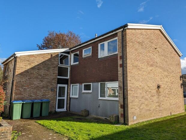
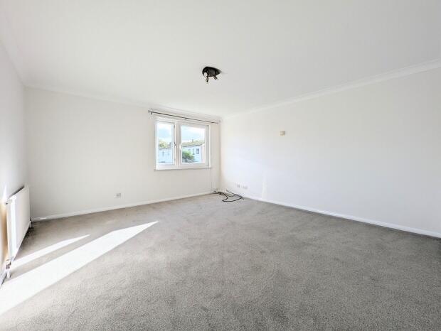
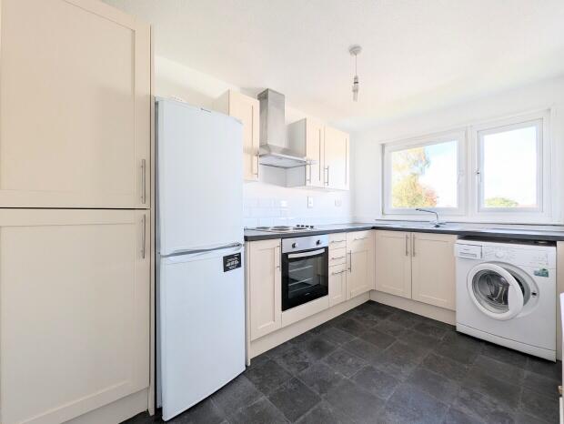
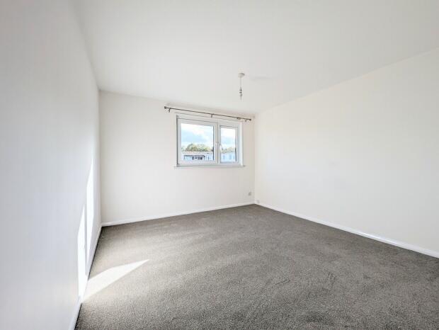
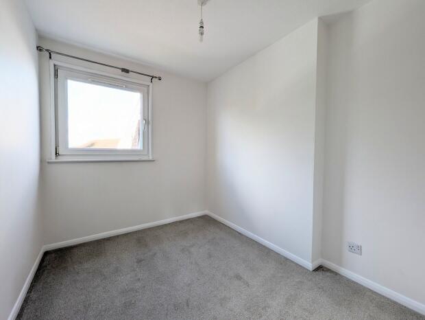
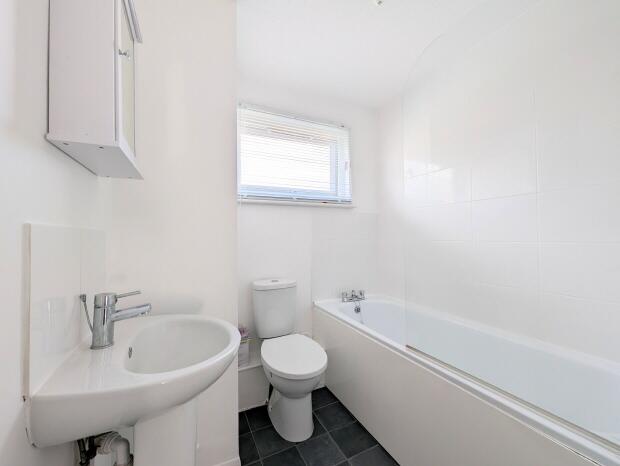
Photo 1 Photo 2 Photo 3 Photo 4 Photo 5 Photo 6
/ 6
Property details
Floor area
59 m²
Council tax band
TBC
Deprivation
Decile 9 (28,673 of 33,755)
Street crime
178 incidents within 1 mile (Apr 2026)
Key features
- Spacious Flat
- Cul-De-Sac Location
- Redecorated With New Flooring
- Two Bedrooms
- Unfurnished
Description
A spacious and very well presented first floor flat situated within a cul-de-sac location on the North side of Horsham. The accommodation has been redecorated and has new carpets, and comprises entrance hall with large storage cupboard, good size living room, modern kitchen with appliances (oven and hob, fridge freezer and washing machine), two good sized bedrooms and a modern bathroom with white suite. Double Glazing, GFCH. Unfurnished. EPC rating C.
Living Room - 14`5 x 13`5
Kitchen - 11`10 x 6`10
Bedroom 1 - 11`6 x 10`10
Bedroom 2 - 8`6 x 6`10
Monthly rent: £1200pcm
Holding Deposit Amount: £276.92
5 Week Security Deposit: £1384.60
Contract Length: 12 Months
Council Tax Band: C
Listed by
Horsham
Courtney Green
Reference: 142118846
EPC Rating & Upgrade Cost
Fetching EPC data… Refresh this page in a moment.
Flood risk
Zone: 1
Risk: Low
Job (default Low)
Rental Range
Estimated market rent for Horsham. Low = conservative, Realistic = average, Optimistic = best case.
Based on Local Authority from postcode lookup → Horsham.
LHA (30th percentile) floor for Crawley & Reigate: £1,097/mo (Apr 2025 – Mar 2026)
Location
Nearby
Nearest stations, universities and amenities (distance from property).
| Type | Name | Distance |
|---|---|---|
| Bus stop | Blenheim Road | 0.1 miles |
| Shop | Budgens | 0.3 miles |
| Shop | Studio2 | 0.3 miles |
| Hospital | Horsham Hospital | 0.4 miles |
| Train station | Littlehaven | 0.6 miles |
| Train station | Horsham | 0.7 miles |
| Hospital | St Catherine's Hospice | 5.6 miles |
| University | Mullard Space Science Laboratory | 8.0 miles |
Street-level crime
| Category | Count |
|---|---|
| Violence and sexual offences | 68 |
| Anti-social behaviour | 50 |
| Criminal damage and arson | 13 |
| Other theft | 10 |
| Shoplifting | 10 |
| Burglary | 9 |
| Public order | 9 |
| Drugs | 4 |
| Other crime | 4 |
| Possession of weapons | 1 |
| Total incidents | 178 |
Within 1 mile during Apr 2026. Source: data.police.uk (England & Wales).
Schools nearby
Nearest open schools with Ofsted ratings (England). Closed schools are not shown. Data from Get Information about Schools and Ofsted.
| Name | Type | Distance | Ofsted |
|---|---|---|---|
| North Heath Community Primary School | Primary | 0.2 miles | Good — 7 Dec 2017 |
| The College of Richard Collyer In Horsham | Other | 0.3 miles | — (No rating) |
| Trafalgar Community Infant School | Primary | 0.6 miles | Good — 25 Jun 2014 |
| Kingslea Primary School | Primary | 0.6 miles | Good — 28 Jun 2022 |
| Horsham Nursery School | Nursery | 0.7 miles | Good — 17 May 2012 |
Rental Comparables
Rental listings exist nearby, but none matched the 2-bedroom count for this property.