137 ROMAN ROAD
LUTON, LUTON LU4 9DL
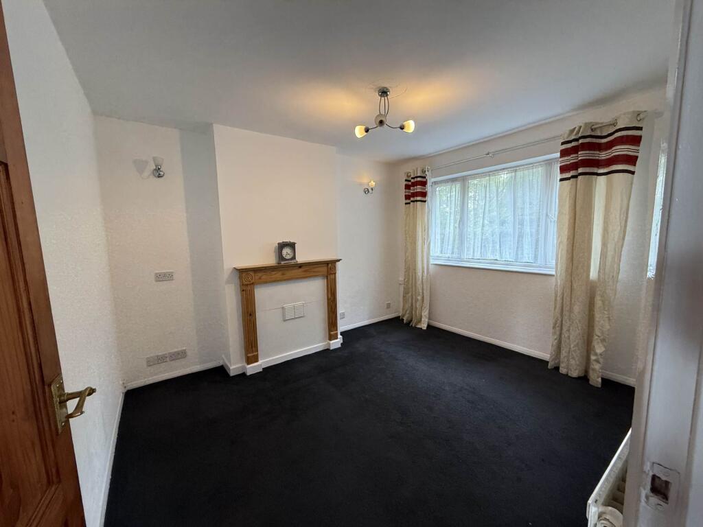
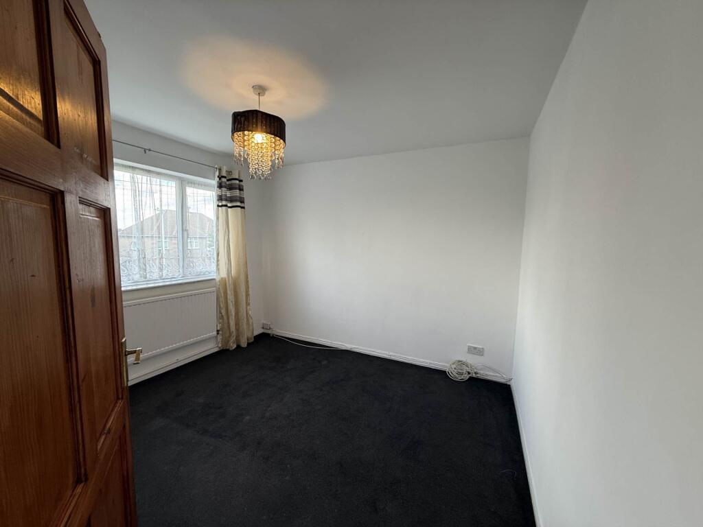
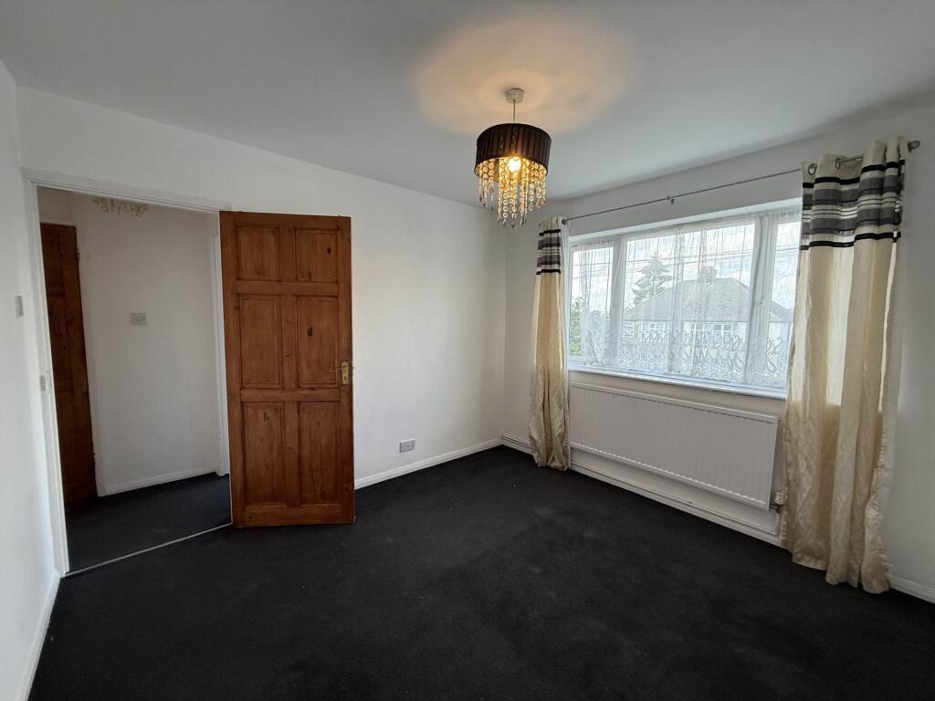
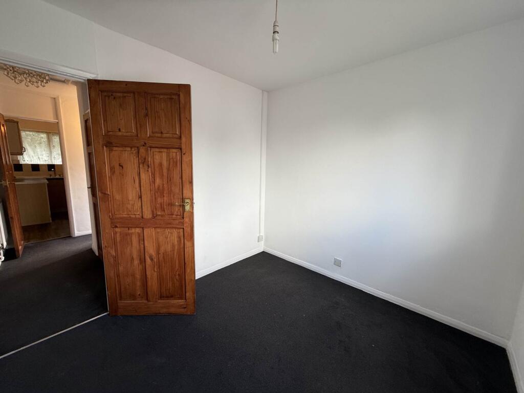

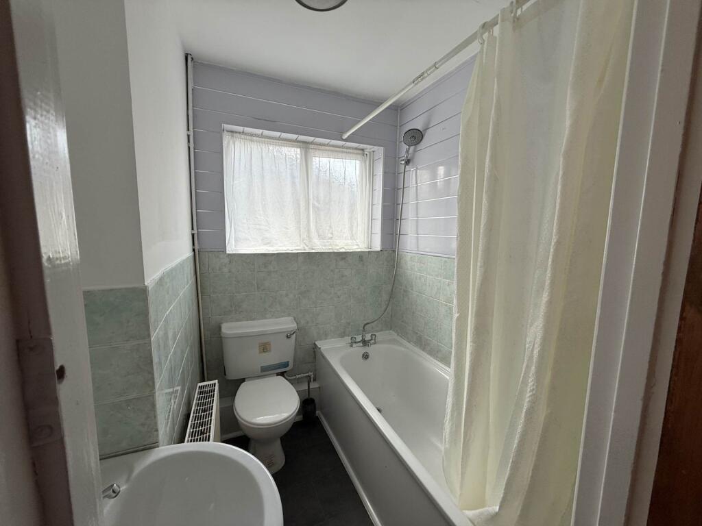
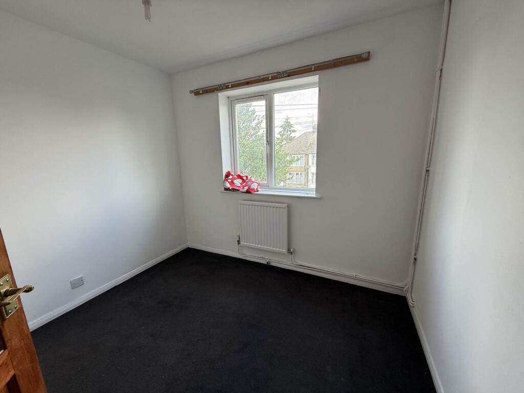
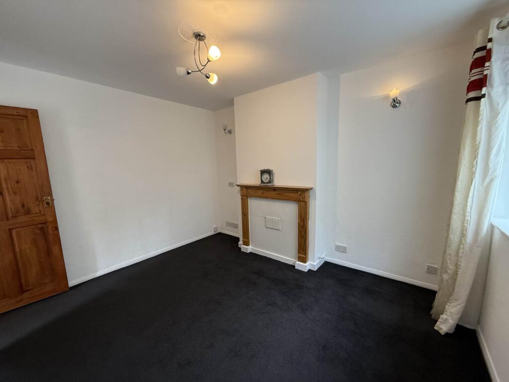
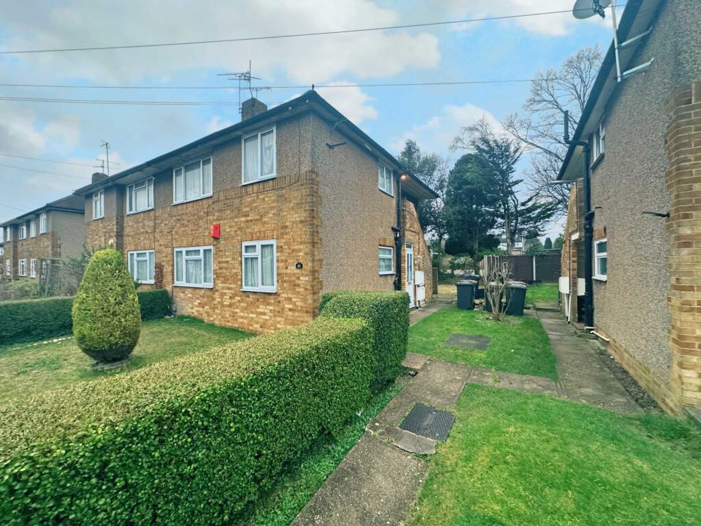
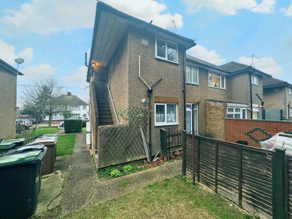
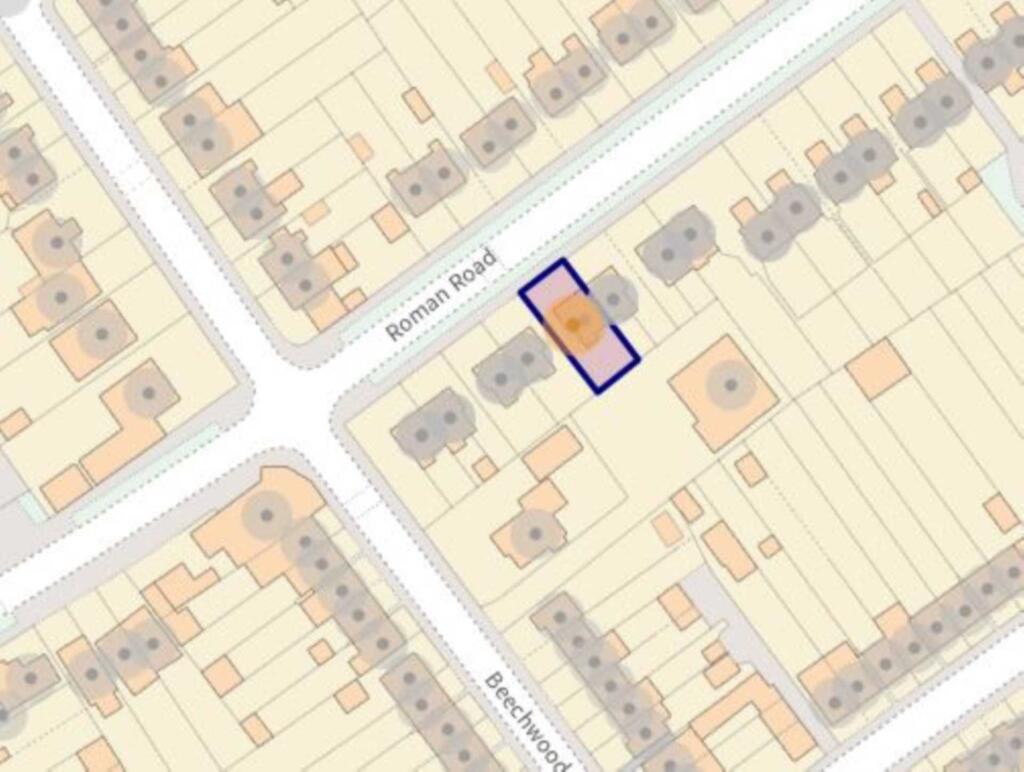
Photo 1 Photo 2 Photo 3 Photo 4 Photo 5 Photo 6 Photo 7 Photo 8 Photo 9 Photo 10 Photo 11
/ 11
Property details
Floor area
46 m²
Council tax band
B
Deprivation
Decile 4 (10,695 of 33,755)
Street crime
367 incidents within 1 mile (May 2026)
Key features
- Venture Residential
- First floor maisonette
- Two spacious bedrooms
- Garden
- Popular location - walking distance to Leagrave train station
- Available Now
Additional details
- Electricity
- Mains supply
- Broadband
- Cable
- Water
- Mains supply
- Sewerage
- Mains supply
- Heating
- Gas central
- Garden
- Yes
Description
The property is available now on an unfurnished basis. Being just a few minutes walk from the Leagrave High Street and train station, all shops and commuting needs are met. Call on
Lounge - 10'4" (3.15m) x 12'1" (3.68m)
Kitchen - 10'1" (3.07m) x 7'0" (2.13m)
Bedroom 1 - 10'4" (3.15m) x 11'6" (3.51m)
Bedroom 2 - 9'4" (2.84m) x 8'6" (2.59m)
Bathroom - 5'2" (1.57m) x 6'2" (1.88m)
Notice
All photographs are provided for guidance only.
Client Money Protection provided by: CMP (CMP003718)
Listed by
Luton
Venture Residential
Reference: 160035809
EPC Rating & Upgrade Cost
Fetching EPC data… Refresh this page in a moment.
Flood risk
Zone: 1
Risk: Low
Job (default Low)
Floorplans
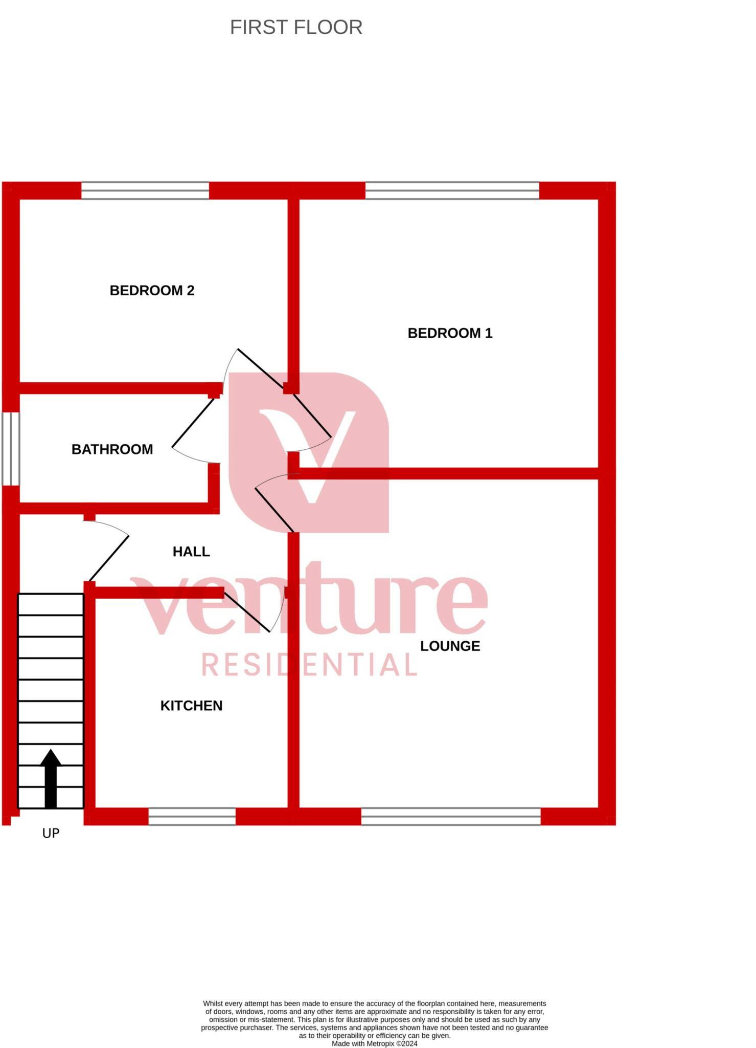
Floorplan 1
EPC Graphs

EPC 1
Rental Range
Estimated market rent for Luton. Low = conservative, Realistic = average, Optimistic = best case.
Based on Local Authority from postcode lookup → Luton.
LHA (30th percentile) floor for Luton: £873/mo (Apr 2025 – Mar 2026)
Location
Nearby
Nearest stations, universities and amenities (distance from property).
| Type | Name | Distance |
|---|---|---|
| Shop | Hamza Supermarket | 0.1 miles |
| Shop | Punia Stores & Off Licence | 0.1 miles |
| Bus stop | Roman Road | 0.3 miles |
| Bus stop | Maidenhall Beechwood | 0.4 miles |
| Train station | Leagrave | 0.5 miles |
| Hospital | Luton and Dunstable Hospital | 0.9 miles |
| Hospital | Widecombe Nursing Home | 1.6 miles |
| Train station | Luton | 2.1 miles |
| University | University of Bedfordshire | 2.4 miles |
Street-level crime
| Category | Count |
|---|---|
| Violence and sexual offences | 144 |
| Anti-social behaviour | 56 |
| Other theft | 31 |
| Criminal damage and arson | 29 |
| Public order | 22 |
| Vehicle crime | 22 |
| Other crime | 15 |
| Drugs | 14 |
| Shoplifting | 12 |
| Burglary | 8 |
| Possession of weapons | 7 |
| Robbery | 4 |
| Bicycle theft | 2 |
| Theft from the person | 1 |
| Total incidents | 367 |
Within 1 mile during May 2026. Source: data.police.uk (England & Wales).
Schools nearby
Nearest open schools with Ofsted ratings (England). Closed schools are not shown. Data from Get Information about Schools and Ofsted.
| Name | Type | Distance | Ofsted |
|---|---|---|---|
| Beechwood Primary School | Primary | 0.2 miles | Good — 14 Oct 2019 |
| Norton Road Primary School | Primary | 0.4 miles | Good — 13 May 2024 |
| St Joseph's Catholic Primary School | Primary | 0.5 miles | Good — 6 Dec 2017 |
| Challney High School for Girls | Secondary | 0.6 miles | Outstanding — 10 Feb 2020 |
| Downside Primary School | Primary | 0.6 miles | Good — 5 Jun 2015 |
Rental Comparables
Residential lets from OpenRent and Rightmove for the area (same bedroom count). Use to validate rent estimates. Student lets are excluded.
| Title | Rent | Beds | Distance | As seen on |
|---|---|---|---|---|
| 2 Bed Terraced House, Norton Road, LU3 | £2,000/mo | 2 | 0.4 miles | OpenRent |
| 2 Bed End Terrace, Solway Road South, LU3 | £1,250/mo | 2 | 0.62 miles | OpenRent |
Average rent: £1,625/mo (2 listings)