13 TENBY DRIVE
LUTON, LUTON, LUTON LU4 9BL
£1,250 pcm
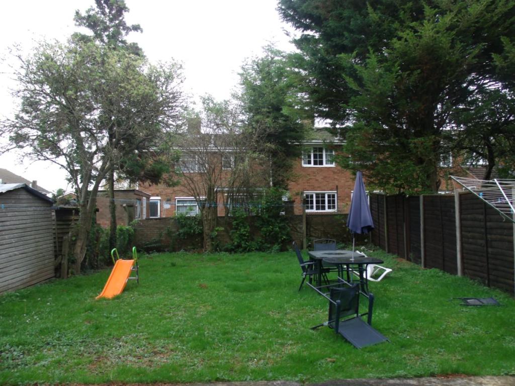
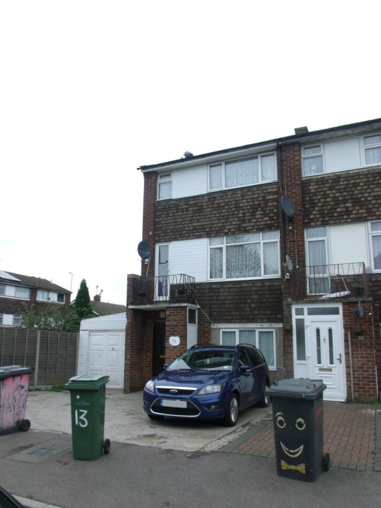
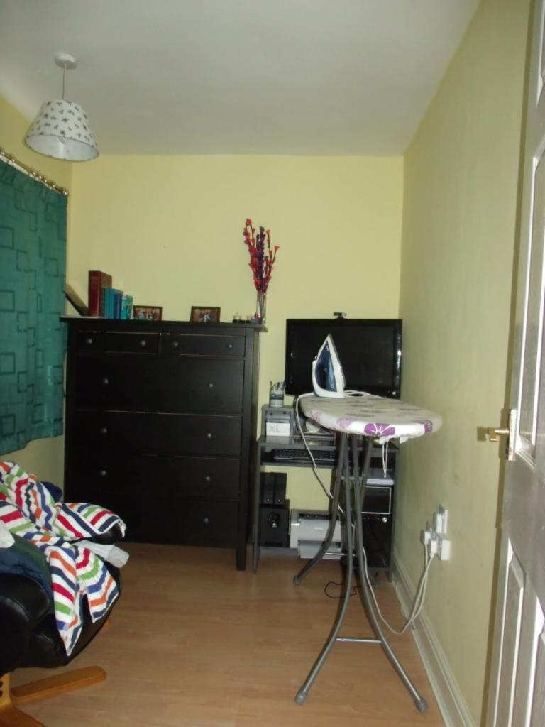
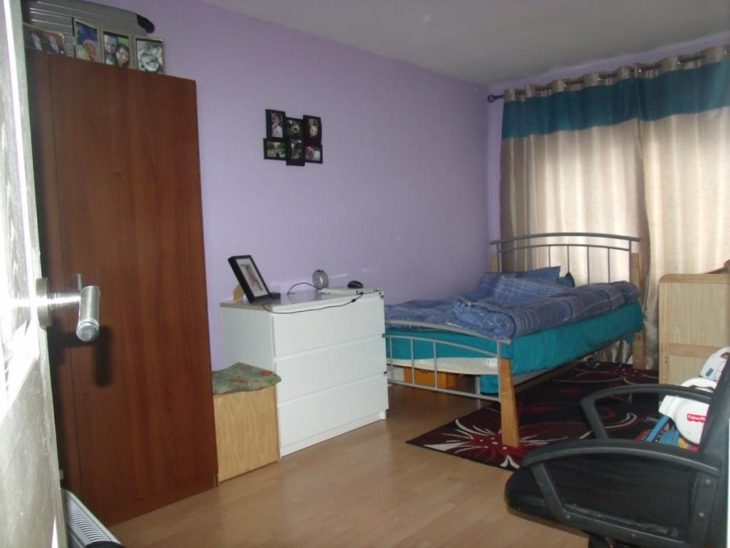
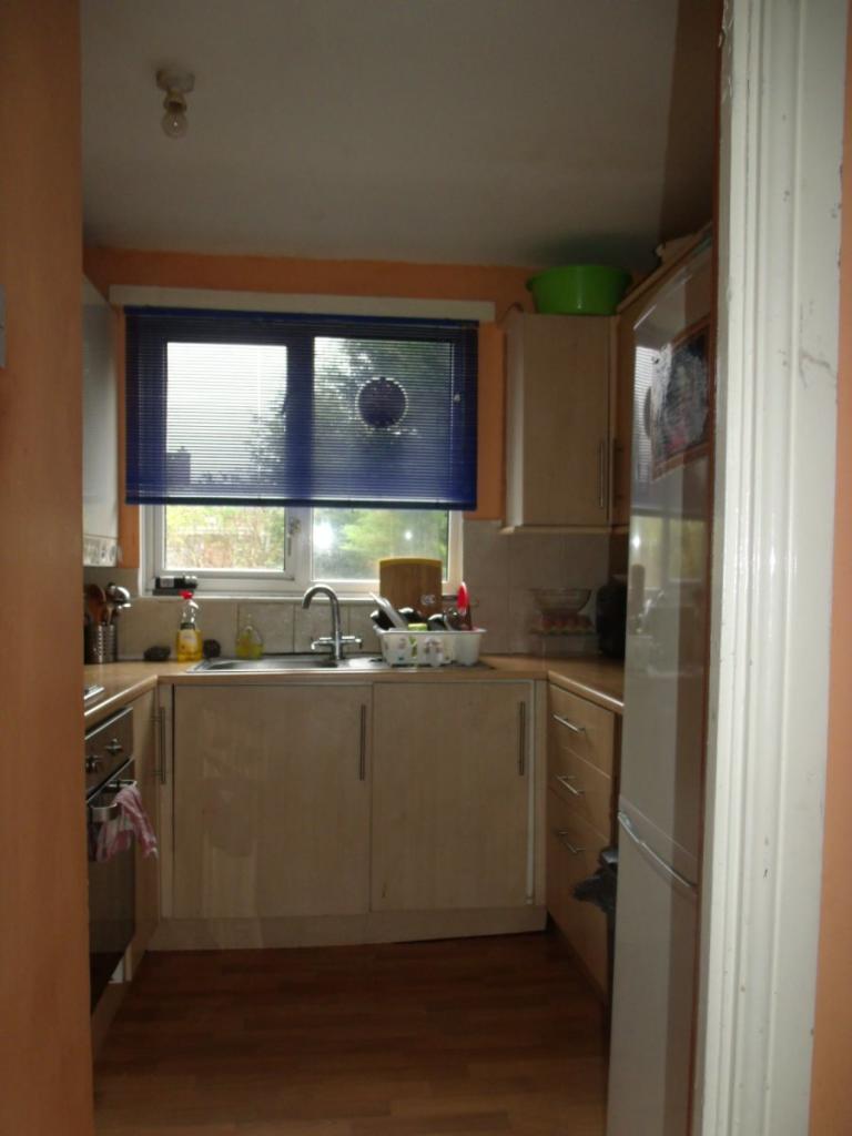
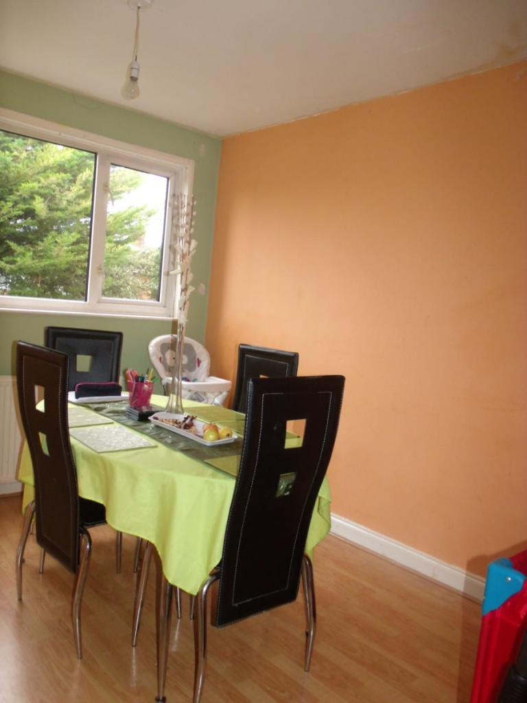
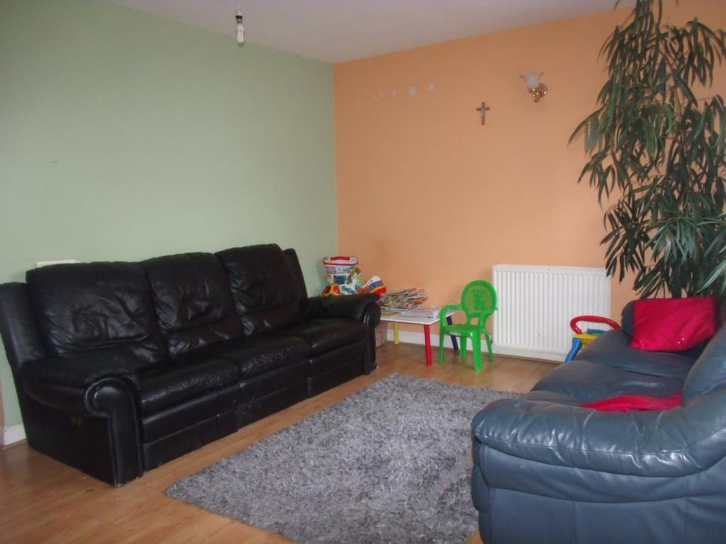
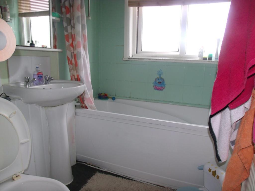
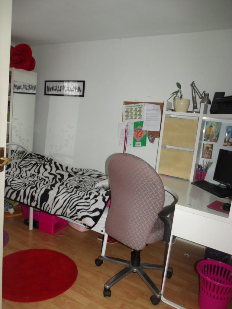
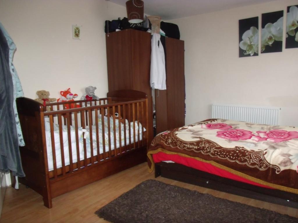
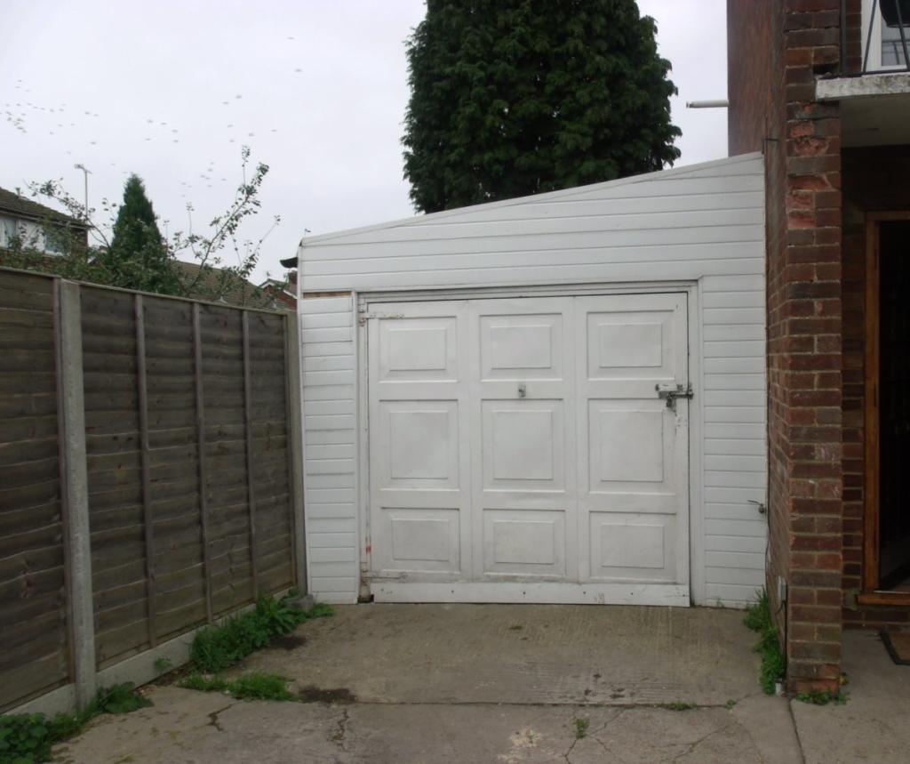
Photo 1 Photo 2 Photo 3 Photo 4 Photo 5 Photo 6 Photo 7 Photo 8 Photo 9 Photo 10 Photo 11
/ 11
Property details
Floor area
97 m²
EPC rating
C
Year built
England and Wales: 1967-1975
Deprivation
Decile 4 (10,695 of 33,755)
Street crime
320 incidents within 1 mile (Apr 2026)
Key features
- Under Renovation
- 2 Receptions
- 2 Bathrooms
- Furnished
- Gas C/H
- WC/ Bathroom
- Parking/Drive
- Fully D/G
- White Goods
- Gas Central Heating
Additional details
- Parking
- Yes
- Garden
- Yes
Description
Off road parking for up to 3 cars and space for a 4th in the GARAGE!!
2 bedroom and shower on ground floor, Kitchen living room and dining room on first floor, 2 bedrooms and bathroom on 2nd floor. Very big garden, Garage on side of property for car parking or for storage. BALCONY on 1st floor. The house is neat cleaning and tidy. Available for viewings. CALL NOW!!
Listed by
Luton
lutonhomes ltd
Reference: 87644734
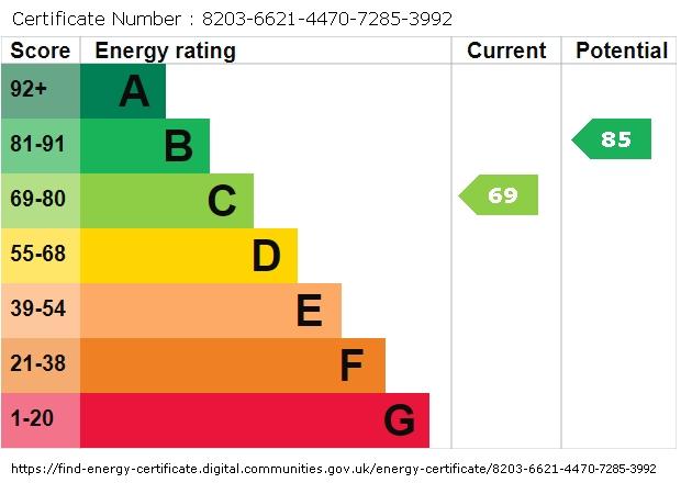
EPC Rating & Upgrade Cost
Current rating: C
Potential rating: B
Inspection date: 15/09/2017
Expiry date: 14/09/2027
Current heating cost: £645/year
Potential heating cost: £501/year
Est. upgrade cost to C: £17,500
Recommendations
- Cavity wall insulation (£500 - £1,500)
- Floor insulation (solid floor) (£4,000 - £6,000)
- Solar water heating (£4,000 - £6,000)
- Solar photovoltaic panels, 2.5 kWp (£5,000 - £8,000)
Flood risk
Zone: 1
Risk: Low
Job (default Low)
EPC Graphs
EPC graph
Rental Range
Estimated market rent for Luton. Low = conservative, Realistic = average, Optimistic = best case.
Based on Local Authority from postcode lookup → Luton.
LHA (30th percentile) floor for Luton: £1,346/mo (Apr 2025 – Mar 2026)
Location
Nearby
Nearest stations, universities and amenities (distance from property).
| Type | Name | Distance |
|---|---|---|
| Shop | Afghan | 0.1 miles |
| Shop | Hamza Supermarket | 0.2 miles |
| Bus stop | Maidenhall Beechwood | 0.3 miles |
| Train station | Leagrave | 0.6 miles |
| Hospital | Luton and Dunstable Hospital | 1.0 miles |
| Hospital | Widecombe Nursing Home | 1.7 miles |
| Train station | Luton | 2.0 miles |
| University | University of Bedfordshire | 2.3 miles |
Street-level crime
| Category | Count |
|---|---|
| Violence and sexual offences | 134 |
| Anti-social behaviour | 54 |
| Criminal damage and arson | 25 |
| Vehicle crime | 22 |
| Public order | 21 |
| Drugs | 20 |
| Other theft | 17 |
| Other crime | 10 |
| Burglary | 7 |
| Shoplifting | 5 |
| Possession of weapons | 3 |
| Robbery | 1 |
| Theft from the person | 1 |
| Total incidents | 320 |
Within 1 mile during Apr 2026. Source: data.police.uk (England & Wales).
Schools nearby
Nearest open schools with Ofsted ratings (England). Closed schools are not shown. Data from Get Information about Schools and Ofsted.
| Name | Type | Distance | Ofsted |
|---|---|---|---|
| Beechwood Primary School | Primary | 0.3 miles | Good — 14 Oct 2019 |
| Norton Road Primary School | Primary | 0.4 miles | Good — 13 May 2024 |
| St Joseph's Catholic Primary School | Primary | 0.5 miles | Good — 6 Dec 2017 |
| Downside Primary School | Primary | 0.6 miles | Good — 5 Jun 2015 |
| Challney High School for Girls | Secondary | 0.6 miles | Outstanding — 10 Feb 2020 |
Rental Comparables
Loading rental comparables for this postcode. Refresh in a few minutes.