13
PHIPPSVILLE COURT, ST MATTHEWS PARADE, NORTHAMPTON, NORTHAMPTON, NORTHAMPTONSHIRE NN2 7JW
£795 pcm
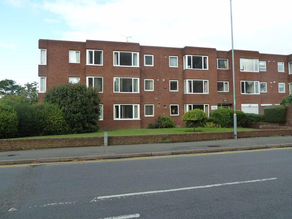
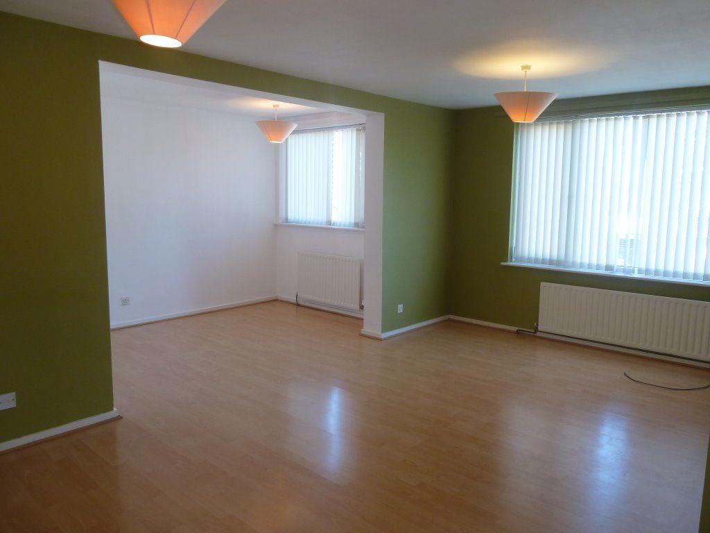
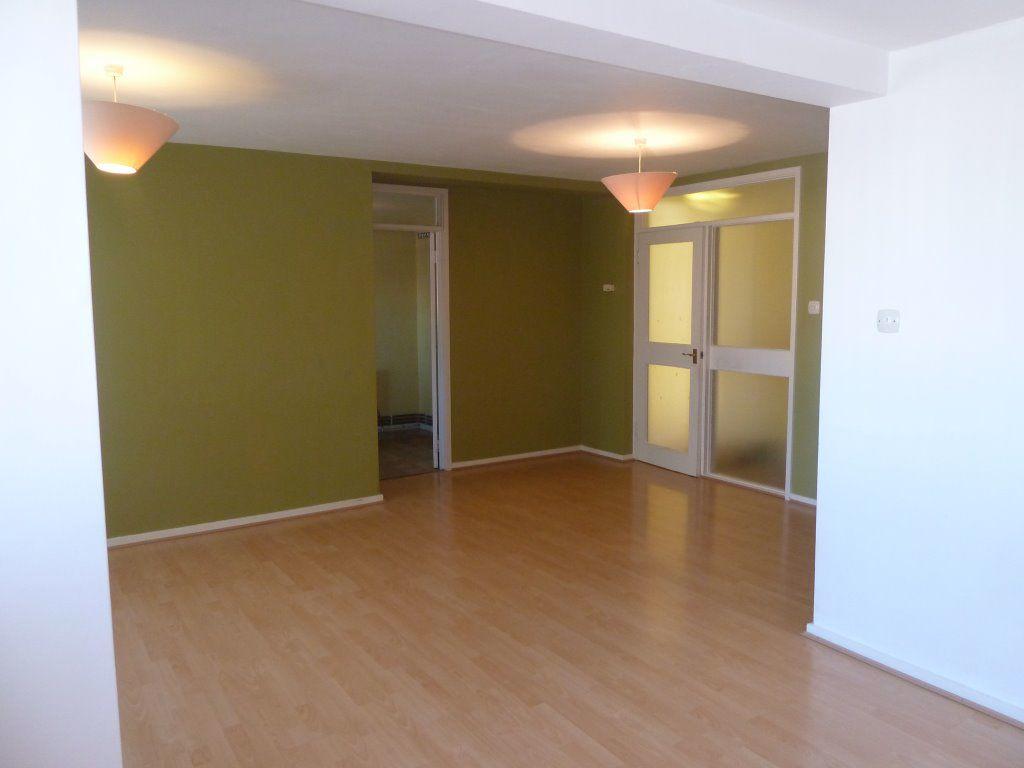
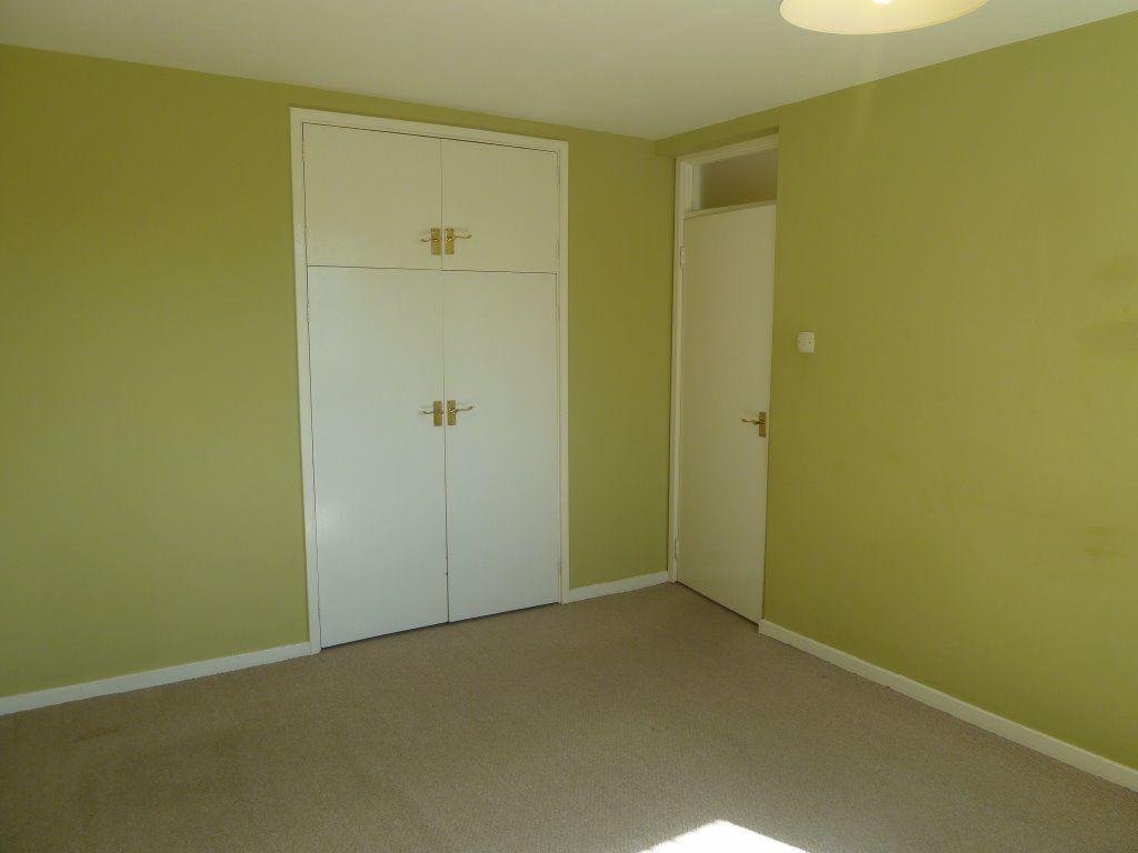
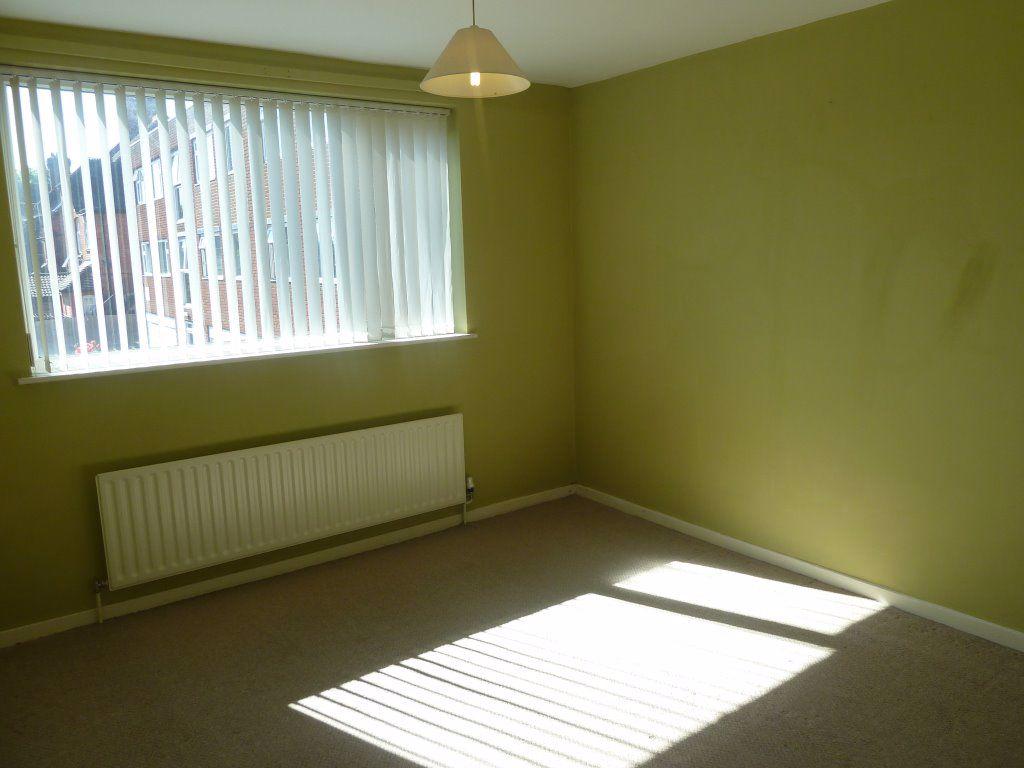
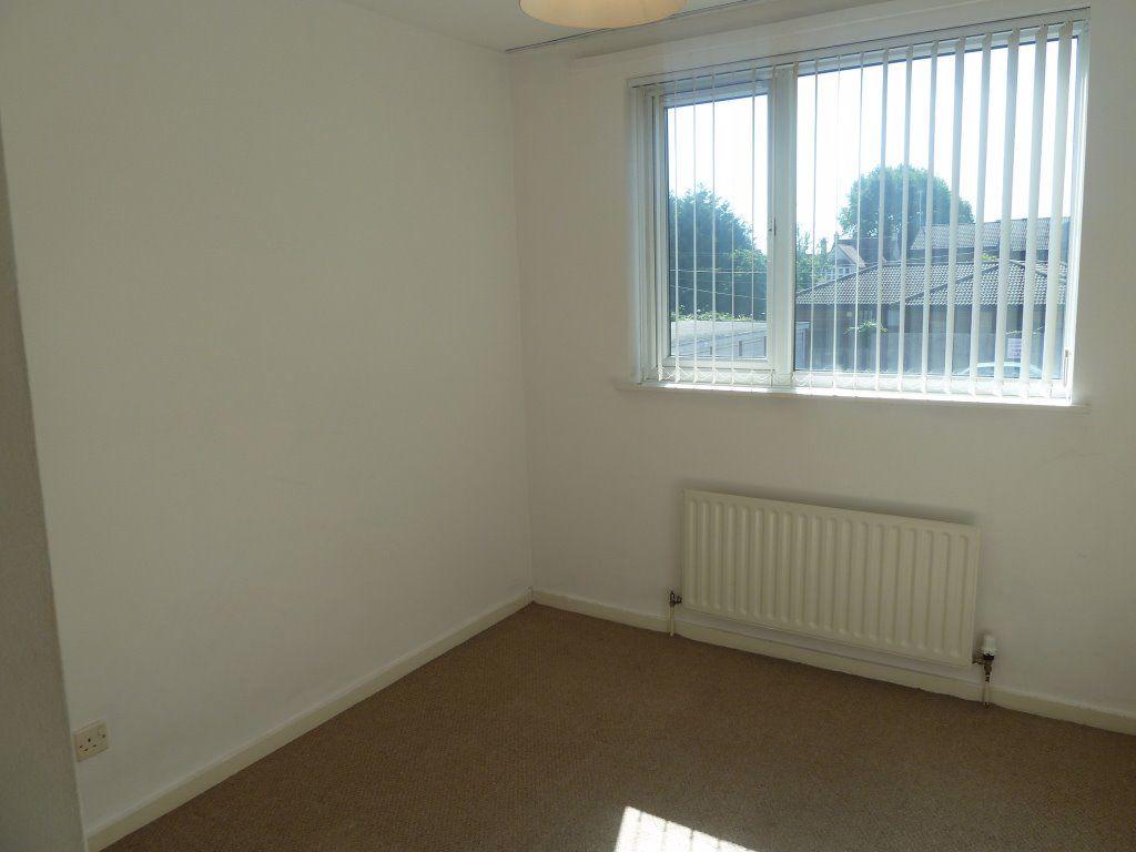
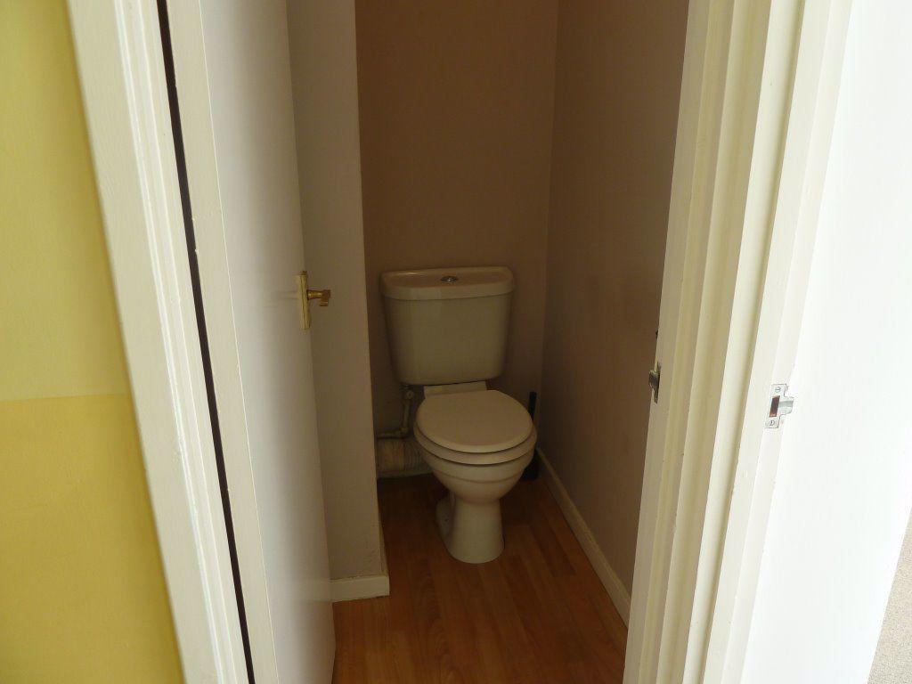
Photo 1 Photo 2 Photo 3 Photo 4 Photo 5 Photo 6 Photo 7 Photo 8 Photo 9
/ 9
Property details
Floor area
69 m²
EPC rating
C
Year built
England and Wales: 1976-1982
Deprivation
Decile 3 (8,768 of 33,755)
Street crime
480 incidents within 1 mile (Apr 2026)
Key features
- Spacious Lounge/Diner
- Two Bedrooms
- Secure Entry System
- UPVC Double Glazing
Additional details
- Parking
- Yes
Description
The property is within easy access to a variety of facilities on Kingsley Park Terrace including, a supermarket, post office, and restaurants. Northampton Town Centre is approximately one mile away with a further range of shops, cinema, bus and train station.
Available Late May - Holding Fee Required
Exclusions: No pets, indoor smokers or students.
Listed by
Northampton
Kingston Real Estate Property Management Limited
Reference: 123001703
EPC Rating & Upgrade Cost
Current rating: C
Potential rating: B
Inspection date: 04/01/2024
Expiry date: 03/01/2034
Est. upgrade cost to C: £1,000
Recommendations
- Cavity wall insulation (£500 - £1,500)
Flood risk
Zone: 1
Risk: Low
Job (default Low)
Company ownership
Registered legal owner is a company.
Company: WILSON PROCON LTD (10261111)
Rental Range
Estimated market rent for West Northamptonshire. Low = conservative, Realistic = average, Optimistic = best case.
Based on Local Authority from postcode lookup → West Northamptonshire.
LHA (30th percentile) floor for Leicester: £648/mo (Apr 2025 – Mar 2026)
Location
Nearby
Nearest stations, universities and amenities (distance from property).
| Type | Name | Distance |
|---|---|---|
| Bus stop | Unknown | 0.0 miles |
| Shop | Capital | 0.0 miles |
| Shop | Georgie's | 0.0 miles |
| Hospital | St Matthews Hospital | 0.1 miles |
| University | University of Northampton St Georges Avenue | 0.6 miles |
| Hospital | Manfield Health Campus | 1.0 miles |
| University | University of Northampton - School of Podiatry | 1.2 miles |
| Train station | Northampton | 1.6 miles |
| Train station | Boughton | 2.8 miles |
Street-level crime
| Category | Count |
|---|---|
| Violence and sexual offences | 171 |
| Anti-social behaviour | 131 |
| Public order | 29 |
| Other theft | 25 |
| Drugs | 24 |
| Criminal damage and arson | 22 |
| Vehicle crime | 22 |
| Burglary | 19 |
| Robbery | 13 |
| Shoplifting | 9 |
| Possession of weapons | 8 |
| Other crime | 3 |
| Bicycle theft | 2 |
| Theft from the person | 2 |
| Total incidents | 480 |
Within 1 mile during Apr 2026. Source: data.police.uk (England & Wales).
Schools nearby
Nearest open schools with Ofsted ratings (England). Closed schools are not shown. Data from Get Information about Schools and Ofsted.
| Name | Type | Distance | Ofsted |
|---|---|---|---|
| Wallace Road Nursery School | Nursery | 0.3 miles | Good — 24 Jul 2022 |
| Kingsley Primary School | Primary | 0.3 miles | Good — 24 Jul 2023 |
| Cedar Road Primary School | Primary | 0.4 miles | Good — 3 Jul 2023 |
| Fairfields School | Other | 0.5 miles | Outstanding — 20 Mar 2014 |
| Stimpson Avenue Academy | Primary | 0.5 miles | Good — 19 Sep 2023 |
Rental Comparables
Loading rental comparables for this postcode. Refresh in a few minutes.