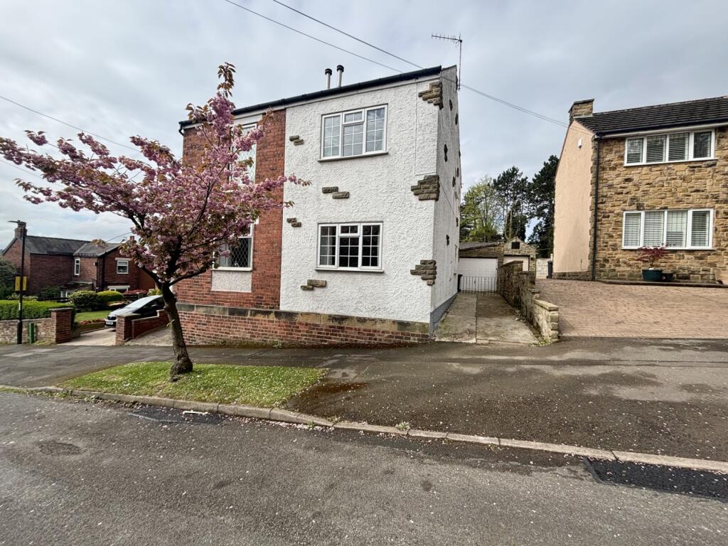
3 SUMMERFIELD ROAD
DRONFIELD, NORTH EAST DERBYSHIRE, DERBYSHIRE, S18 2GZ
£212,000
Location
Nearby
Nearest stations, universities and amenities (distance from property).
| Type | Name | Distance |
|---|---|---|
| Shop | Unknown | 0.2 miles |
| Bus stop | Holmesdale Road Shops | 0.4 miles |
| Train station | Dronfield | 0.5 miles |
| Hospital | Argyll House | 4.0 miles |
| University | Unknown | 5.3 miles |
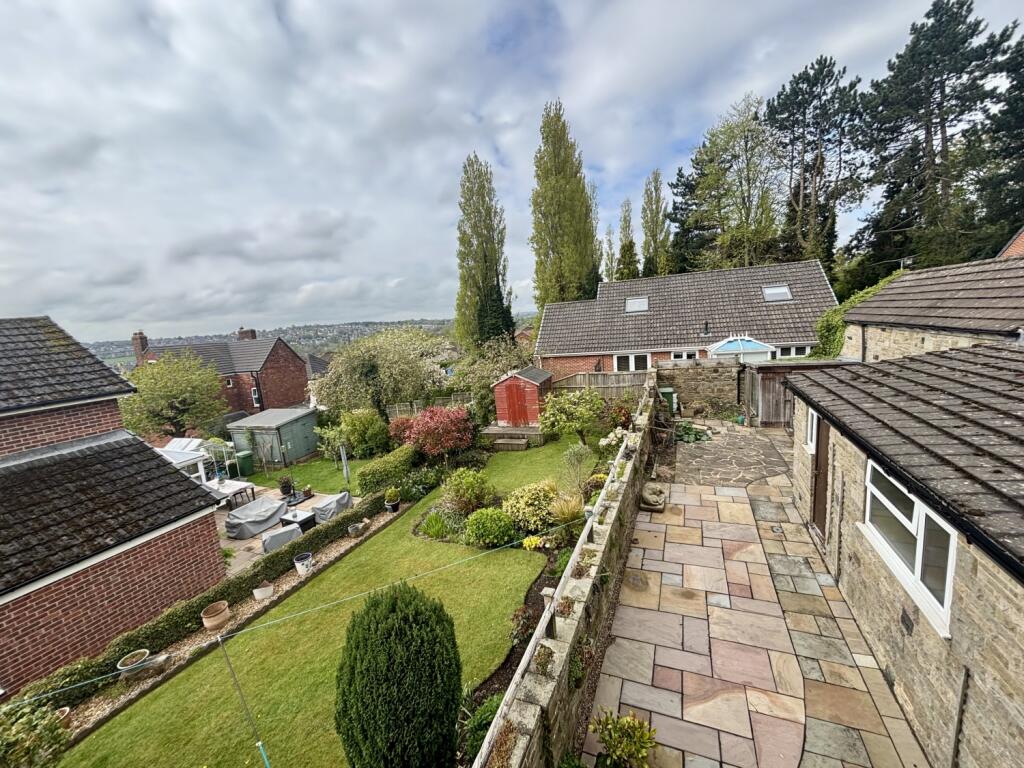
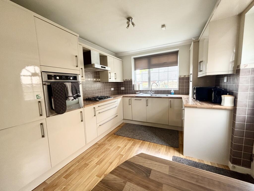
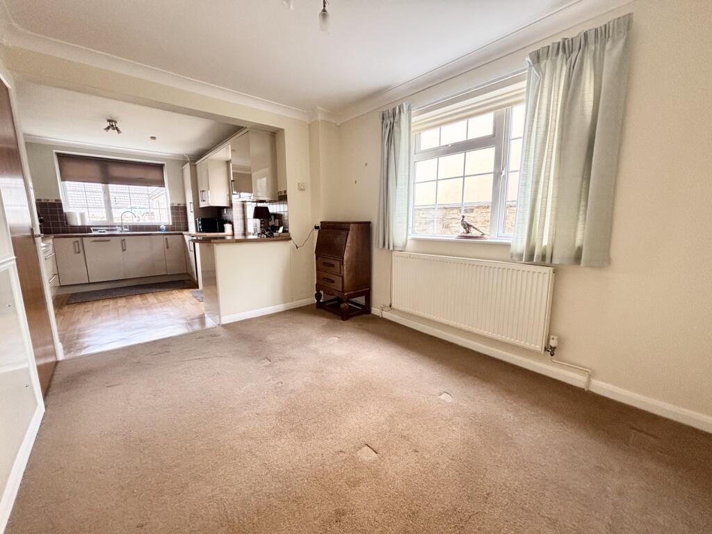
Property details
Tenure
Freehold
Property type
Semi-detached
Bedrooms
3
Bathrooms
1
Floor area
78 m²
EPC rating
D
Year built
England and Wales: 1900-1929
Last sold
£212,000 Feb 2026
Price per m²
£2,718/m²
Local average
£299,287 (35 sales)
Street crime
106 incidents within 1 mile (Apr 2026)
EPC Rating & Upgrade Cost
Current rating: D
Potential rating: B
Inspection date: 06/05/2025
Expiry date: 05/05/2035
Current heating cost: £992/year
Potential heating cost: £732/year
Est. upgrade cost to C: £19,750
Recommendations
- Increase loft insulation to 270 mm (£100 - £350)
- 50 mm internal or external wall insulation (£4,000 - £14,000)
- Floor insulation (suspended floor) (£800 - £1,200)
- Low energy lighting for all fixed outlets (£25)
- Solar water heating (£4,000 - £6,000)
- Solar photovoltaic panels, 2.5 kWp (£3,500 - £5,500)
Price history
| Event | Date | Price | Type | % change | Today’s value (HPI) | Action |
|---|---|---|---|---|---|---|
| Sold | 04/02/2026 | £212,000 | Semi-detached | — | £216,056 to March 2026 | View transaction |
Historic listings
Listing and sale events only where we matched the listing page to a Land Registry sale already on record for this address.
| Event | Date | Price |
|---|---|---|
| sold | 01/01/2026 | £212,000 |
| listed | 25/04/2025 | £230,000 |
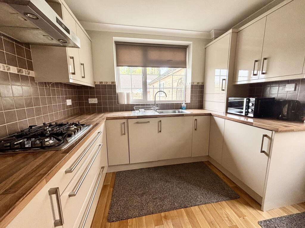
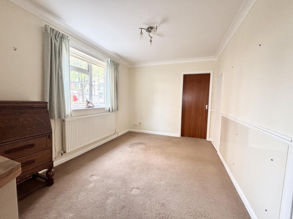
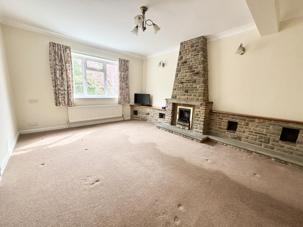
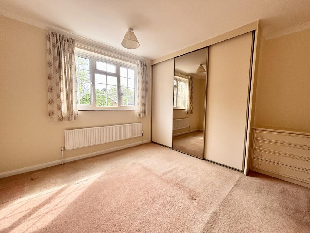
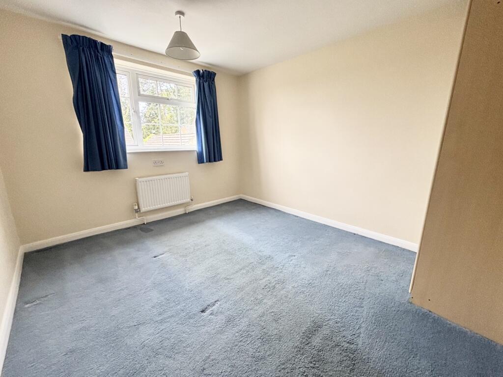
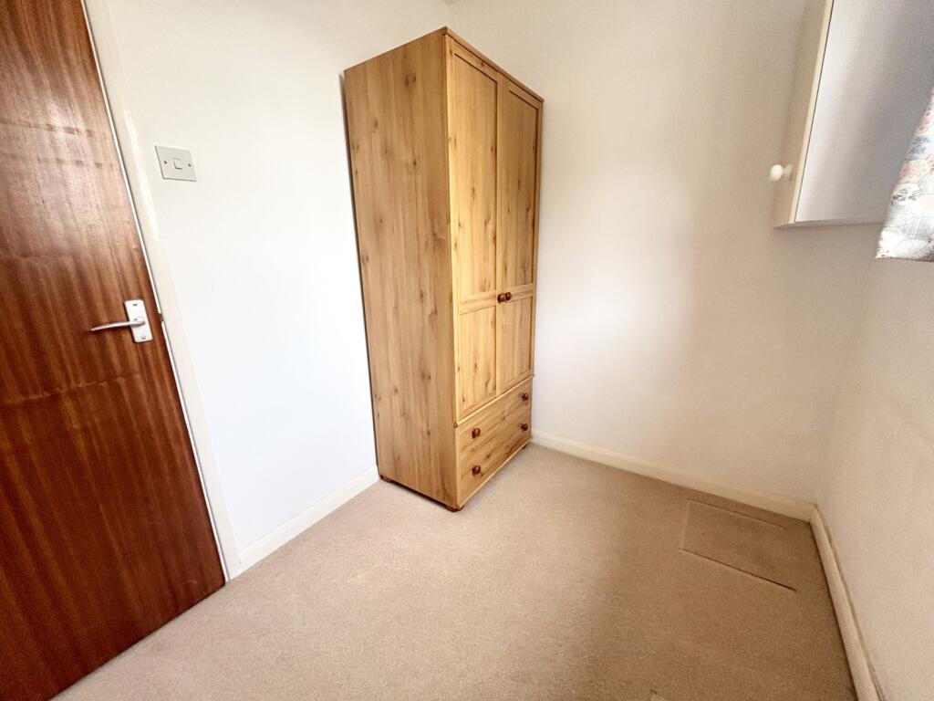
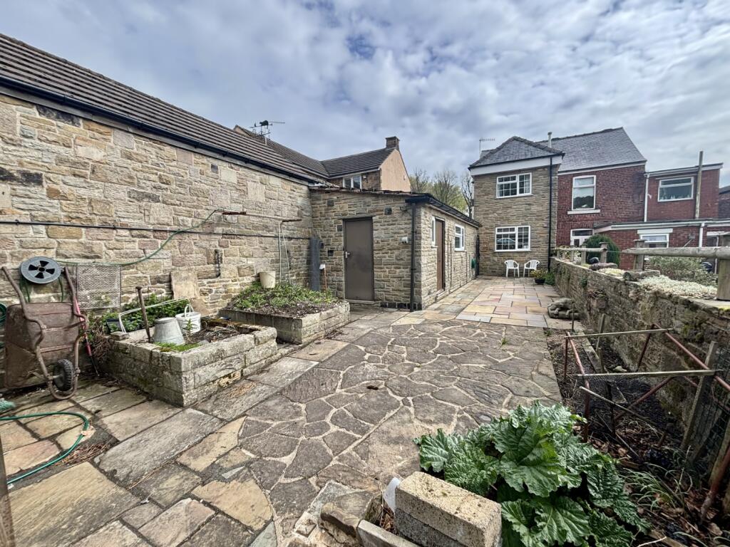
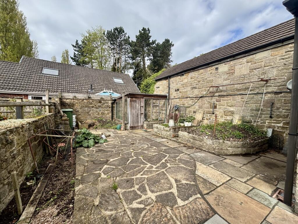
Photos · Open listing
 Open image 1 from listing 161143718
 Open image 2 from listing 161143718
 Open image 3 from listing 161143718
 Open image 4 from listing 161143718
 Open image 5 from listing 161143718
 Open image 6 from listing 161143718
 Open image 7 from listing 161143718
 Open image 8 from listing 161143718
 Open image 9 from listing 161143718
 Open image 10 from listing 161143718
 Open image 11 from listing 161143718
 Open image 12 from listing 161143718
Sold comparables
Same street and nearby sales within 0.25 miles (last 5 years). Land Registry Price Paid Data.
| Address | Price | Date | Type |
|---|---|---|---|
| 135 HOLMLEY LANE, COAL ASTON, DRONFIELD, NORTH EAST DERBYSHIRE, DERBYSHIRE, S18 3DA | £285,000 | 14/11/2025 | Semi-detached |
| 37 MARSH AVENUE, DRONFIELD, NORTH EAST DERBYSHIRE, DERBYSHIRE, S18 2HA | £225,000 | 14/11/2023 | Semi-detached |
| 70 MARSH AVENUE, DRONFIELD, NORTH EAST DERBYSHIRE, DERBYSHIRE, S18 2HB | £245,000 | 10/11/2023 | Semi-detached |
| 2 MARSH AVENUE, DRONFIELD, NORTH EAST DERBYSHIRE, DERBYSHIRE, S18 2HB | £180,000 | 22/05/2023 | Semi-detached |
| 19 MARSH AVENUE, DRONFIELD, NORTH EAST DERBYSHIRE, DERBYSHIRE, S18 2HA | £227,000 | 23/03/2023 | Semi-detached |
| 63 DERWENT ROAD, DRONFIELD, NORTH EAST DERBYSHIRE, DERBYSHIRE, S18 2FN | £263,500 | 29/11/2022 | Semi-detached |
| 27 MARSH AVENUE, DRONFIELD, NORTH EAST DERBYSHIRE, DERBYSHIRE, S18 2HA | £255,000 | 08/09/2022 | Semi-detached |
| 8 LINDEN AVENUE, DRONFIELD, NORTH EAST DERBYSHIRE, DERBYSHIRE, S18 2FD | £456,000 | 07/04/2022 | Semi-detached |
| 30 MARSH AVENUE, DRONFIELD, NORTH EAST DERBYSHIRE, DERBYSHIRE, S18 2HB | £112,000 | 04/04/2022 | Semi-detached |
| 13 MARSH AVENUE, DRONFIELD, NORTH EAST DERBYSHIRE, DERBYSHIRE, S18 2HA | £180,000 | 25/02/2022 | Semi-detached |
| 37 DERWENT ROAD, DRONFIELD, NORTH EAST DERBYSHIRE, DERBYSHIRE, S18 2FN | £353,000 | 21/02/2022 | Semi-detached |
| 99 SNAPE HILL LANE, DRONFIELD, NORTH EAST DERBYSHIRE, DERBYSHIRE, S18 2GN | £267,500 | 26/11/2021 | Semi-detached |
| 94 GREEN LANE, DRONFIELD, NORTH EAST DERBYSHIRE, DERBYSHIRE, S18 2FH | £287,500 | 25/08/2021 | Semi-detached |
| 5 TRENT GROVE, DRONFIELD, NORTH EAST DERBYSHIRE, DERBYSHIRE, S18 2FP | £206,100 | 22/06/2021 | Semi-detached |
Area average: £253,043 (14 sales)
For sale comparables
No active for-sale comparables found within 1 mile for the same bedrooms and property type.
Capital growth trend
Land Registry outcode average: last 12 months vs 5y and 10y ago (from sold prices).
House Price Index (HM Land Registry — official index, not sold-price averages): North East Derbyshire. Series: Semi-detached. As of March 2026.
Rental Range
Estimated market rent for North East Derbyshire. Low = conservative, Realistic = average, Optimistic = best case.
Based on Local Authority from postcode lookup → North East Derbyshire.
LHA (30th percentile) floor for Sheffield: Apr 2025 – Mar 2026
Rental Comparables
Residential lets from OpenRent and Rightmove for the area (same bedroom count). Use to validate rent estimates. Student lets are excluded.
| Title | Rent | Beds | Distance | As seen on |
|---|---|---|---|---|
| 3 Bed Terraced House, Lowedges Road, S8 | £800/mo | 3 | 1.04 miles | OpenRent |
Average rent: £800/mo (1 listing)
Rent-driven metrics
Based on OpenRent comparables.
- Rent ratio — Monthly rent ÷ purchase price (1% rule). 1%+ = strong, 0.8–1% = okay, <0.8% = weak for cashflow.
- Max investor price — Rent ÷ 0.8%; the price at which rent would be 0.8% of price (Stoke-style target).
- Target investor price — Rent ÷ 1%; the price at which rent would be 1% of price (strong cashflow band).
- Gross yield — Annual rent as % of purchase price (no costs).
- Cost-to-rent — Price ÷ annual rent (from OpenRent comparables). Under 14× = strong, 14–16× = acceptable, 17×+ = compressed.
- Cashflow — Rent minus mortgage, 10% maintenance, £25/mo compliance. Assumes 75% LTV, 3.95% APR (5yr fixed), 25yr term.
- ROI — Annual profit ÷ cash in (deposit + 4% purchase costs).
Flood risk
Zone: 1
Risk: Low
Not in Flood Risk Area (no data)
Street-level crime
| Category | Count |
|---|---|
| Violence and sexual offences | 50 |
| Criminal damage and arson | 10 |
| Shoplifting | 10 |
| Public order | 9 |
| Other theft | 7 |
| Anti-social behaviour | 5 |
| Other crime | 5 |
| Vehicle crime | 4 |
| Drugs | 2 |
| Robbery | 2 |
| Burglary | 1 |
| Possession of weapons | 1 |
| Total incidents | 106 |
Within 1 mile during Apr 2026. Source: data.police.uk (England & Wales).
Schools nearby
Nearest open schools with Ofsted ratings (England). Closed schools are not shown. Data from Get Information about Schools and Ofsted.
| Name | Type | Distance | Ofsted |
|---|---|---|---|
| Lenthall Infant and Nursery School | Primary | 0.1 miles | Good — 17 Oct 2013 |
| Holmesdale Infant School | Primary | 0.3 miles | — (Inspected (no overall grade)) |
| Dronfield Stonelow Junior School | Primary | 0.4 miles | Good — 13 Feb 2014 |
| Northfield Junior School | Primary | 0.4 miles | Good — 23 Feb 2015 |
| Dronfield Henry Fanshawe School | Secondary | 0.5 miles | Good — 27 Sep 2023 |
FENSA
Checking FENSA certificates for this address. Refresh in a few minutes.