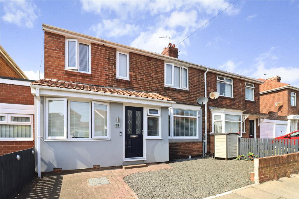
82 KINGS ROAD NORTH
WALLSEND, NORTH TYNESIDE, TYNE AND WEAR, NE28 9JQ
£261,750
Location
Nearby
Nearest stations, universities and amenities (distance from property).
| Type | Name | Distance |
|---|---|---|
| Bus stop | KINGS ROAD NORTH-N/B | 0.0 miles |
| Shop | BK Electricals | 0.1 miles |
| Train station | Wallsend | 1.0 miles |
| Hospital | Priory Day Hospital | 3.1 miles |
| University | Newcastle University | 3.8 miles |
Property details
Tenure
Freehold
Property type
Terraced
Bedrooms
4
Bathrooms
1
Floor area
140 m²
EPC rating
C
Year built
England and Wales: 1930-1949
Last sold
£261,750 Feb 2026
Price per m²
£1,870/m²
Local average
£131,181 (40 sales)
Street crime
234 incidents within 1 mile (Apr 2026)
EPC Rating & Upgrade Cost
Current rating: C
Potential rating: C
Inspection date: 15/08/2025
Current heating cost: £1,051/year
Potential heating cost: £992/year
Est. upgrade cost to C: £16,500
Recommendations
- Floor insulation (suspended floor) (£5,000 - £10,000)
- Solar photovoltaic panels, 2.5 kWp (£8,000 - £10,000)
Price history
| Event | Date | Price | Type | % change | Today’s value (HPI) | Action |
|---|---|---|---|---|---|---|
| Sold | 19/02/2026 | £261,750 | Terraced | +74.6% | £258,007 to March 2026 | View transaction |
| Sold | 06/10/2010 | £149,950 | Terraced | +76.4% | £232,456 to March 2026 | View transaction |
| Sold | 04/03/2010 | £85,000 | Terraced | — | £137,759 to March 2026 | View transaction |
Historic listings
Listing and sale events only where we matched the listing page to a Land Registry sale already on record for this address.
| Event | Date | Price |
|---|---|---|
| sold | 01/01/2026 | £261,750 |
| listed | 14/08/2025 | £250,000 |
| sold | 01/01/2010 | £149,950 |
| sold | 01/01/2010 | £85,000 |
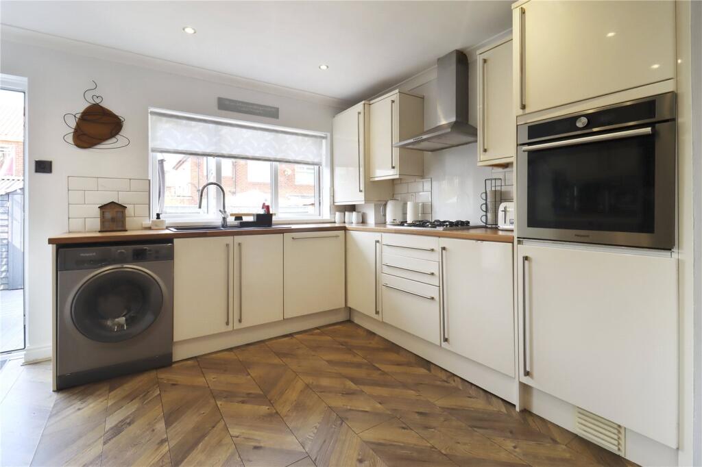
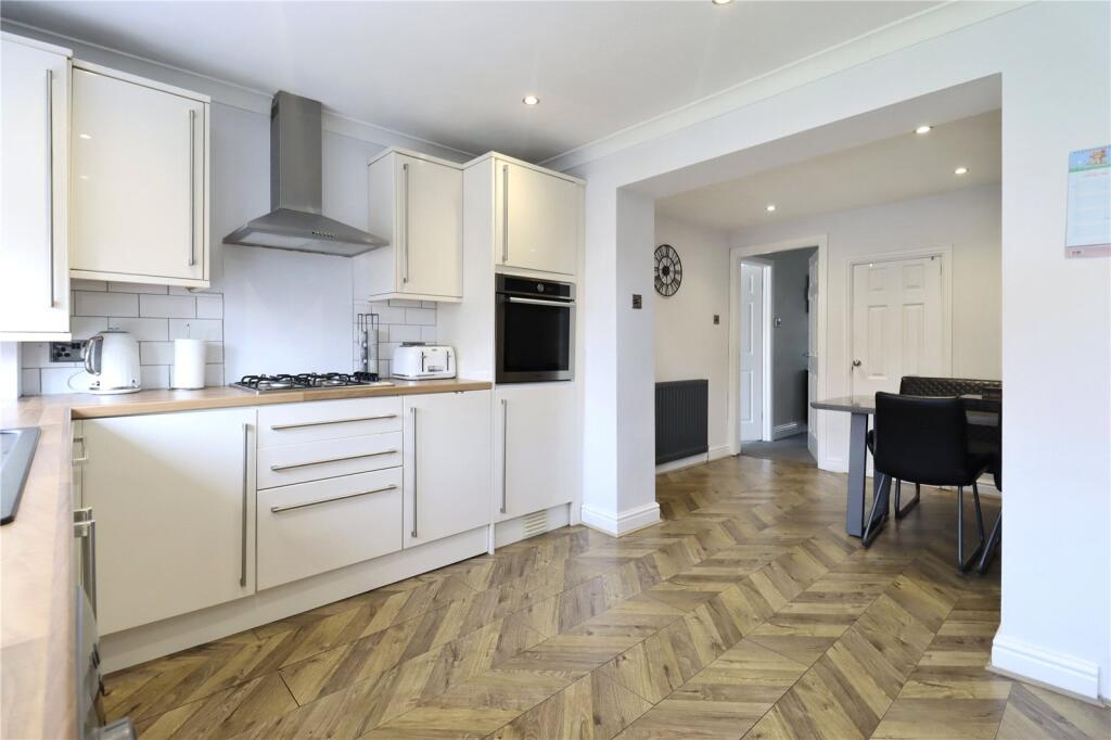
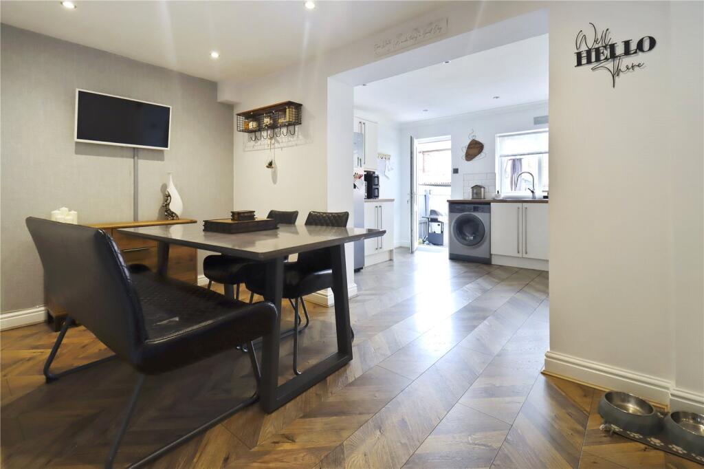
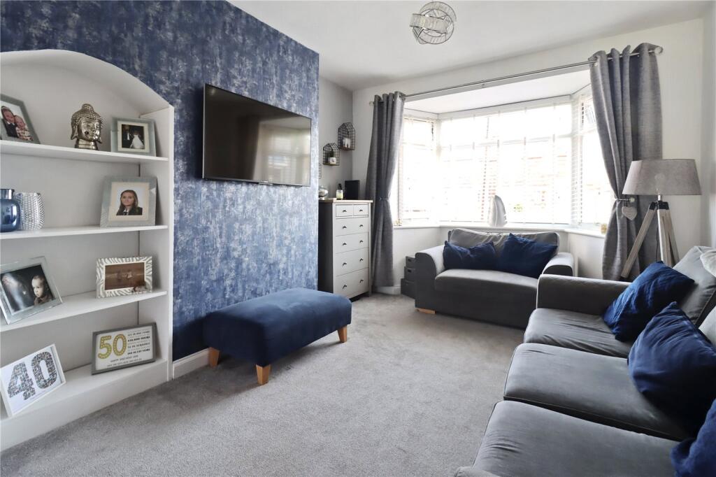
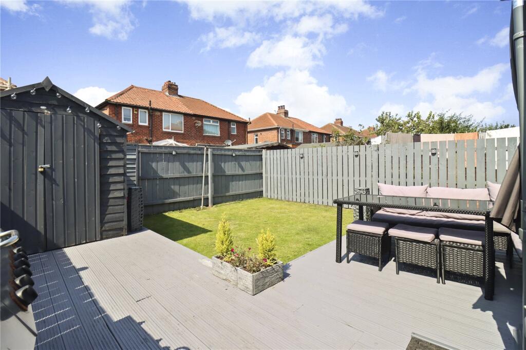
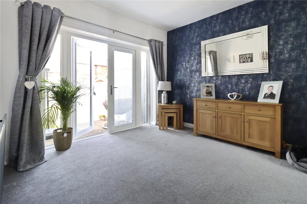
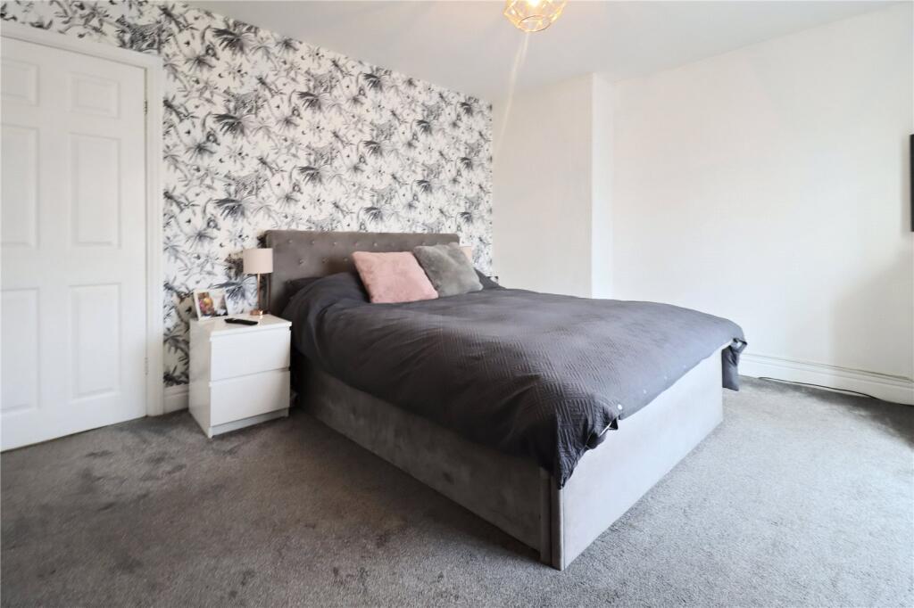
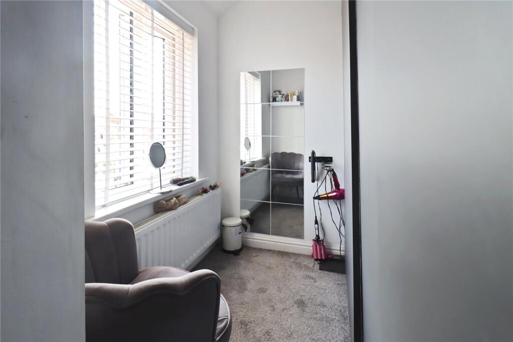
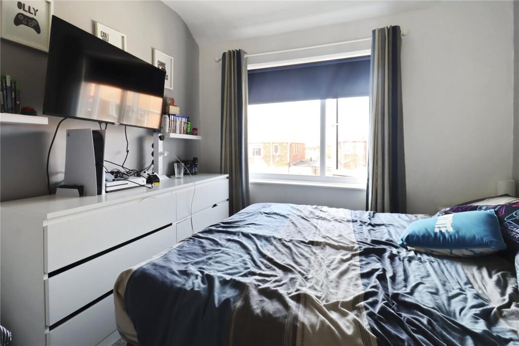
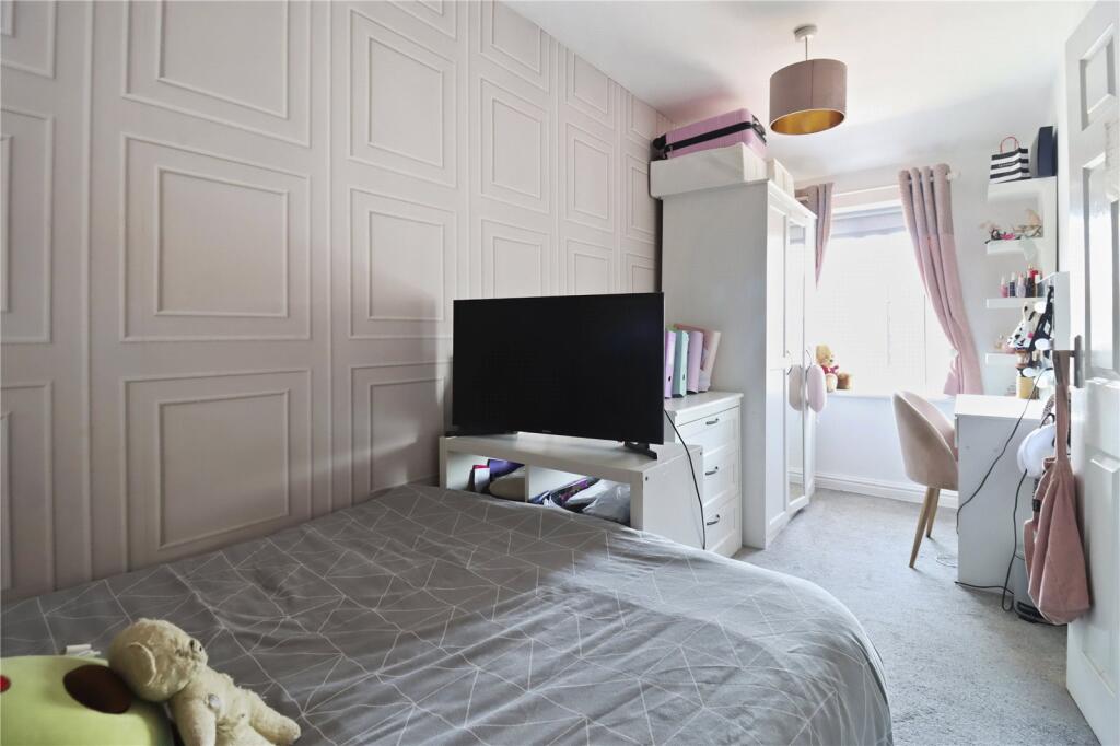
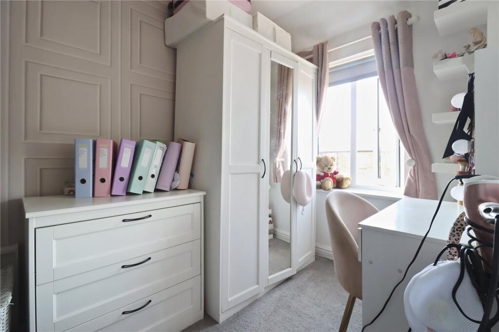
Photos · Open listing
 Open image 1 from listing 165742496
 Open image 2 from listing 165742496
 Open image 3 from listing 165742496
 Open image 4 from listing 165742496
 Open image 5 from listing 165742496
 Open image 6 from listing 165742496
 Open image 7 from listing 165742496
 Open image 8 from listing 165742496
 Open image 9 from listing 165742496
 Open image 10 from listing 165742496
 Open image 11 from listing 165742496
 Open image 12 from listing 165742496
Sold comparables
Same street and nearby sales within 0.25 miles (last 5 years). Land Registry Price Paid Data.
| Address | Price | Date | Type |
|---|---|---|---|
| 10 TYNEDALE AVENUE, WALLSEND, NORTH TYNESIDE, TYNE AND WEAR, NE28 9LS | £159,950 | 05/12/2023 | Terraced |
| 51 TYNEDALE AVENUE, WALLSEND, NORTH TYNESIDE, TYNE AND WEAR, NE28 9LS | £140,000 | 01/09/2023 | Terraced |
| 6 BAILDON CLOSE, WALLSEND, NORTH TYNESIDE, TYNE AND WEAR, NE28 9DJ | £135,000 | 28/07/2023 | Terraced |
| 24 RISING SUN COTTAGES, WALLSEND, NORTH TYNESIDE, TYNE AND WEAR, NE28 9JW | £256,000 | 09/06/2023 | Terraced |
| 22 TYNEDALE AVENUE, WALLSEND, NORTH TYNESIDE, TYNE AND WEAR, NE28 9LS | £157,500 | 27/02/2023 | Terraced |
| 9 BRACKEN AVENUE, WALLSEND, NORTH TYNESIDE, TYNE AND WEAR, NE28 9BB | £165,000 | 30/11/2022 | Terraced |
| 18 BROOMFIELD AVENUE, WALLSEND, NORTH TYNESIDE, TYNE AND WEAR, NE28 9AD | £135,000 | 04/11/2022 | Terraced |
| 31 ASHFIELD MEWS, WALLSEND, NORTH TYNESIDE, TYNE AND WEAR, NE28 7RG | £205,000 | 05/10/2022 | Terraced |
| 12 BAILDON CLOSE, WALLSEND, NORTH TYNESIDE, TYNE AND WEAR, NE28 9DJ | £158,000 | 23/08/2022 | Terraced |
| 4 ALLENDALE AVENUE, WALLSEND, NORTH TYNESIDE, TYNE AND WEAR, NE28 9NA | £221,545 | 29/04/2022 | Terraced |
| 49 TYNEDALE AVENUE, WALLSEND, NORTH TYNESIDE, TYNE AND WEAR, NE28 9LS | £184,000 | 11/04/2022 | Terraced |
| 6 BOURTREE CLOSE, WALLSEND, NORTH TYNESIDE, TYNE AND WEAR, NE28 9AA | £180,000 | 25/03/2022 | Terraced |
| 9 LAUDERDALE AVENUE, WALLSEND, NORTH TYNESIDE, TYNE AND WEAR, NE28 9HU | £162,500 | 28/01/2022 | Terraced |
| 17 BAILDON CLOSE, WALLSEND, NORTH TYNESIDE, TYNE AND WEAR, NE28 9DL | £150,000 | 05/11/2021 | Terraced |
| 19 LAUDERDALE AVENUE, WALLSEND, NORTH TYNESIDE, TYNE AND WEAR, NE28 9HU | £173,000 | 22/10/2021 | Terraced |
| 44 RAE AVENUE, WALLSEND, NORTH TYNESIDE, TYNE AND WEAR, NE28 9JP | £136,000 | 15/10/2021 | Terraced |
| 26 MULLEN ROAD, WALLSEND, NORTH TYNESIDE, TYNE AND WEAR, NE28 9LY | £115,000 | 20/08/2021 | Terraced |
| 65 TYNEDALE AVENUE, WALLSEND, NORTH TYNESIDE, TYNE AND WEAR, NE28 9LT | £169,950 | 09/07/2021 | Terraced |
| 10 BAILDON CLOSE, WALLSEND, NORTH TYNESIDE, TYNE AND WEAR, NE28 9DJ | £152,000 | 02/07/2021 | Terraced |
| 20 ASHFIELD MEWS, WALLSEND, NORTH TYNESIDE, TYNE AND WEAR, NE28 7RG | £172,000 | 28/06/2021 | Terraced |
Area average: £166,372 (20 sales)
For sale comparables
No active for-sale comparables found within 1 mile for the same bedrooms and property type.
Capital growth trend
Land Registry outcode average: last 12 months vs 5y and 10y ago (from sold prices).
House Price Index (HM Land Registry — official index, not sold-price averages): North Tyneside. Series: Terraced. As of March 2026.
Rental Range
Estimated market rent for North Tyneside. Low = conservative, Realistic = average, Optimistic = best case.
Based on Local Authority from postcode lookup → North Tyneside.
LHA (30th percentile) floor for Tyneside: Apr 2025 – Mar 2026
Rental Comparables
Residential lets from OpenRent and Rightmove for the area (same bedroom count). Use to validate rent estimates. Student lets are excluded.
| Title | Rent | Beds | Distance | As seen on |
|---|---|---|---|---|
| 4 Bed Maisonette, Woodbine Avenue, NE28 | £1,250/mo | 4 | 0.75 miles | OpenRent |
Average rent: £1,250/mo (1 listing)
Rent-driven metrics
Based on OpenRent comparables.
- Rent ratio — Monthly rent ÷ purchase price (1% rule). 1%+ = strong, 0.8–1% = okay, <0.8% = weak for cashflow.
- Max investor price — Rent ÷ 0.8%; the price at which rent would be 0.8% of price (Stoke-style target).
- Target investor price — Rent ÷ 1%; the price at which rent would be 1% of price (strong cashflow band).
- Gross yield — Annual rent as % of purchase price (no costs).
- Cost-to-rent — Price ÷ annual rent (from OpenRent comparables). Under 14× = strong, 14–16× = acceptable, 17×+ = compressed.
- Cashflow — Rent minus mortgage, 10% maintenance, £25/mo compliance. Assumes 75% LTV, 3.95% APR (5yr fixed), 25yr term.
- ROI — Annual profit ÷ cash in (deposit + 4% purchase costs).
Flood risk
Zone: 1
Risk: Low
Not in Flood Risk Area (no data)
Street-level crime
| Category | Count |
|---|---|
| Violence and sexual offences | 69 |
| Anti-social behaviour | 67 |
| Criminal damage and arson | 18 |
| Shoplifting | 18 |
| Public order | 17 |
| Other theft | 13 |
| Burglary | 7 |
| Vehicle crime | 7 |
| Other crime | 5 |
| Drugs | 4 |
| Robbery | 4 |
| Bicycle theft | 3 |
| Possession of weapons | 2 |
| Total incidents | 234 |
Within 1 mile during Apr 2026. Source: data.police.uk (England & Wales).
Schools nearby
Nearest open schools with Ofsted ratings (England). Closed schools are not shown. Data from Get Information about Schools and Ofsted.
| Name | Type | Distance | Ofsted |
|---|---|---|---|
| St Bernadettes Catholic Primary, Wallsend | Primary | 0.2 miles | Good — 9 Sep 2013 |
| Beacon Hill School | Other | 0.2 miles | Good — 30 Jan 2018 |
| Wallsend Jubilee Primary School | Primary | 0.4 miles | Good — 3 Apr 2014 |
| St Columba's Catholic Primary School, Wallsend | Primary | 0.6 miles | Good — 16 Oct 2013 |
| Redesdale Primary School | Primary | 0.6 miles | Good — 22 Apr 2013 |
FENSA
Checking FENSA certificates for this address. Refresh in a few minutes.