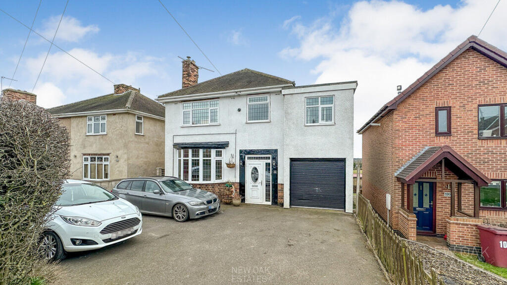
102 HIGH STREET
STONEBROOM, ALFRETON, NORTH EAST DERBYSHIRE, DERBYSHIRE, DE55 6JY
£250,000
Location
Nearby
Nearest stations, universities and amenities (distance from property).
| Type | Name | Distance |
|---|---|---|
| Bus stop | Pasture Lane | 0.0 miles |
| Shop | Unknown | 0.4 miles |
| Train station | Alfreton | 2.2 miles |
| Hospital | Kings Mill Hospital | 6.3 miles |
| University | Nottingham Trent University Vision University Centre | 8.1 miles |
Property details
Tenure
Freehold
Property type
Detached
Bedrooms
4
Bathrooms
1
Floor area
118 m²
EPC rating
C
Year built
England and Wales: 1950-1966
Last sold
£250,000 Feb 2026
Price per m²
£2,119/m²
Local average
£315,702 (77 sales)
Street crime
21 incidents within 1 mile (May 2026)
EPC Rating & Upgrade Cost
Current rating: C
Potential rating: C
Inspection date: 07/04/2025
Expiry date: 06/04/2035
Current heating cost: £1,183/year
Potential heating cost: £1,038/year
Est. upgrade cost to C: £6,000
Recommendations
- Floor insulation (suspended floor) (£800 - £1,200)
- Solar water heating (£4,000 - £6,000)
Price history
| Event | Date | Price | Type | % change | Today’s value (HPI) | Action |
|---|---|---|---|---|---|---|
| Sold | 06/02/2026 | £250,000 | Detached | +19.6% | £264,706 to April 2026 | View transaction |
| Sold | 18/10/2007 | £209,000 | Detached | — | £343,616 to April 2026 | View transaction |
Historic listings
Listing and sale events only where we matched the listing page to a Land Registry sale already on record for this address.
| Event | Date | Price |
|---|---|---|
| sold | 01/01/2026 | £250,000 |
| listed | 13/05/2024 | £250,000 |
| sold | 01/01/2007 | £209,000 |
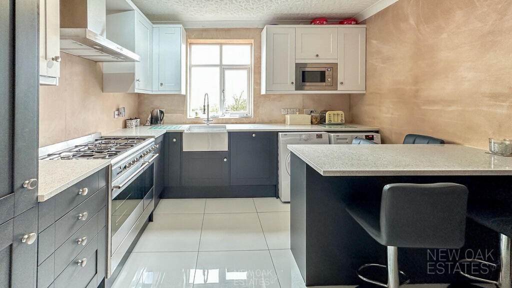
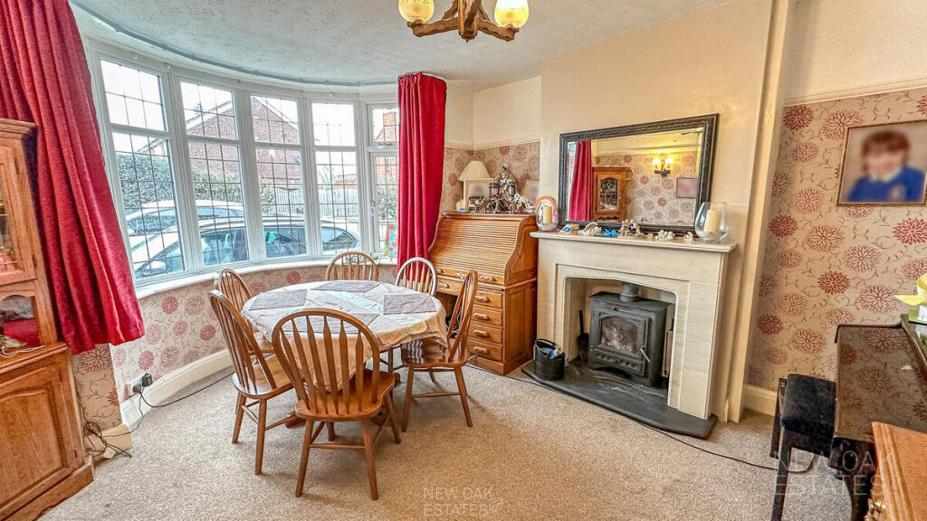
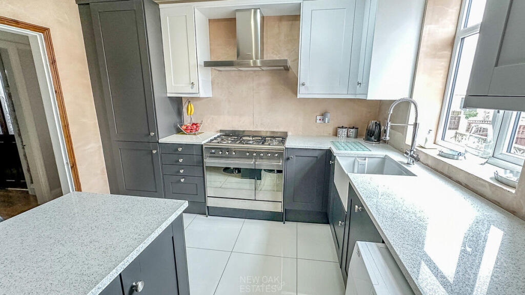
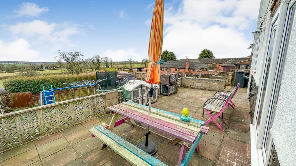
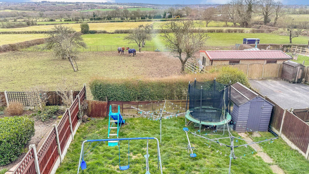
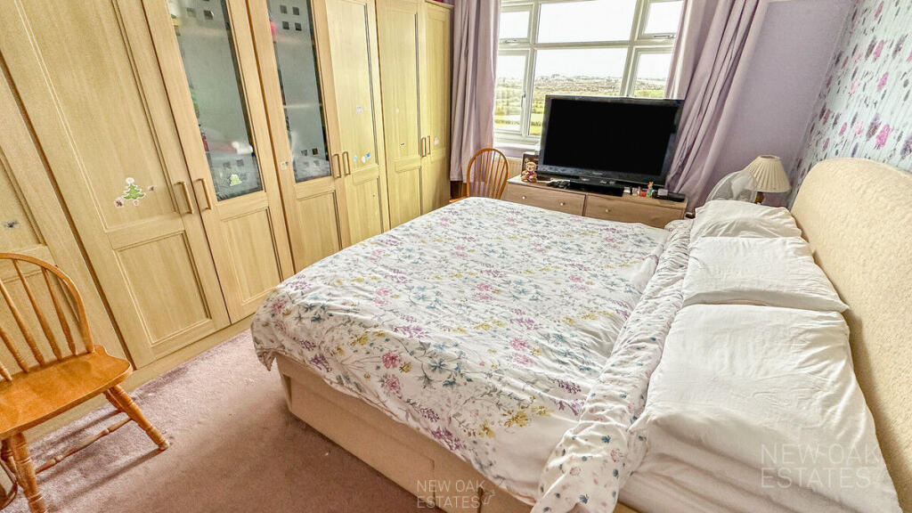
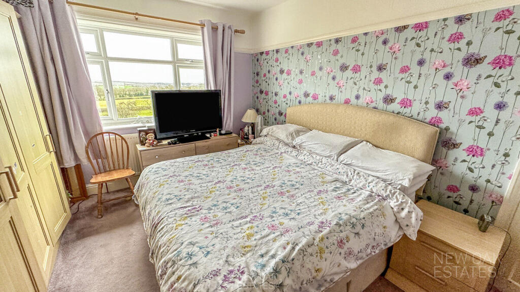
Photos · Open listing
 Open image 1 from listing 147907571
 Open image 2 from listing 147907571
 Open image 3 from listing 147907571
 Open image 4 from listing 147907571
 Open image 5 from listing 147907571
 Open image 6 from listing 147907571
 Open image 7 from listing 147907571
 Open image 8 from listing 147907571
 Open image 9 from listing 147907571
 Open image 10 from listing 147907571
 Open image 11 from listing 147907571
 Open image 12 from listing 147907571
Sold comparables
No comparable sales found in this area for the last 5 years.
For sale comparables
No active for-sale comparables found within 1 mile for the same bedrooms and property type.
Capital growth trend
Land Registry outcode average: last 12 months vs 5y and 10y ago (from sold prices).
House Price Index (HM Land Registry — official index, not sold-price averages): North East Derbyshire. Series: Detached. As of April 2026.
Rental Range
Estimated market rent for North East Derbyshire. Low = conservative, Realistic = average, Optimistic = best case.
Based on Local Authority from postcode lookup → North East Derbyshire.
LHA (30th percentile) floor for North Nottingham: Apr 2025 – Mar 2026
Rental Comparables
Loading rental comparables for this postcode. Refresh in a few minutes.
Rent-driven metrics
Based on Area rent estimate.
- Rent ratio — Monthly rent ÷ purchase price (1% rule). 1%+ = strong, 0.8–1% = okay, <0.8% = weak for cashflow.
- Max investor price — Rent ÷ 0.8%; the price at which rent would be 0.8% of price (Stoke-style target).
- Target investor price — Rent ÷ 1%; the price at which rent would be 1% of price (strong cashflow band).
- Gross yield — Annual rent as % of purchase price (no costs).
Flood risk
Zone: 1
Risk: Low
Not in Flood Risk Area (no data)
Street-level crime
| Category | Count |
|---|---|
| Violence and sexual offences | 13 |
| Anti-social behaviour | 3 |
| Criminal damage and arson | 2 |
| Public order | 2 |
| Possession of weapons | 1 |
| Total incidents | 21 |
Within 1 mile during May 2026. Source: data.police.uk (England & Wales).
Schools nearby
Nearest open schools with Ofsted ratings (England). Closed schools are not shown. Data from Get Information about Schools and Ofsted.
| Name | Type | Distance | Ofsted |
|---|---|---|---|
| Stonebroom Primary and Nursery School | Primary | 0.1 miles | Good — 24 Mar 2016 |
| Morton Primary Academy | Primary | 0.4 miles | Requires improvement — 26 Jan 2023 |
| Westhouses Primary School | Primary | 1.0 miles | Good — 12 Oct 2022 |
| Shirland Primary School | Primary | 1.0 miles | Good — 20 Mar 2024 |
| Mickley Village Primary & Nursery School | Primary | 1.3 miles | Requires improvement — 19 Jun 2024 |
FENSA
Window and door installation certificates found for this address.
| Issued | Work completed | Windows | Doors |
|---|---|---|---|
| 07/01/2013 | 10/12/2012 | 13 | — |
| 03/10/2011 | 23/08/2011 | — | 1 |
| 10/05/2010 | 19/04/2010 | — | 1 |