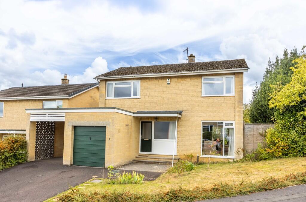
4 CASTLE GARDENS
BATH, BATH AND NORTH EAST SOMERSET, BA2 2AN
£670,000
Location
Nearby
Nearest stations, universities and amenities (distance from property).
| Type | Name | Distance |
|---|---|---|
| Bus stop | Hatfield Road | 0.1 miles |
| Shop | Parsons Bakery | 0.7 miles |
| Train station | Bath Spa | 0.9 miles |
| University | University of Bath | 1.9 miles |
| Hospital | Melksham Community Hospital | 10.2 miles |
Property details
Tenure
Freehold
Property type
Detached
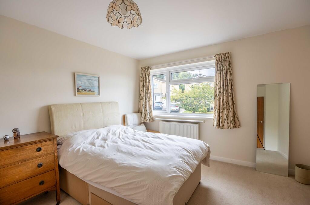
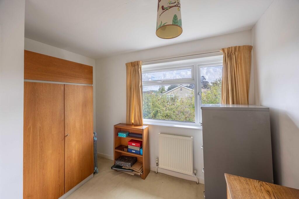
Bedrooms
4
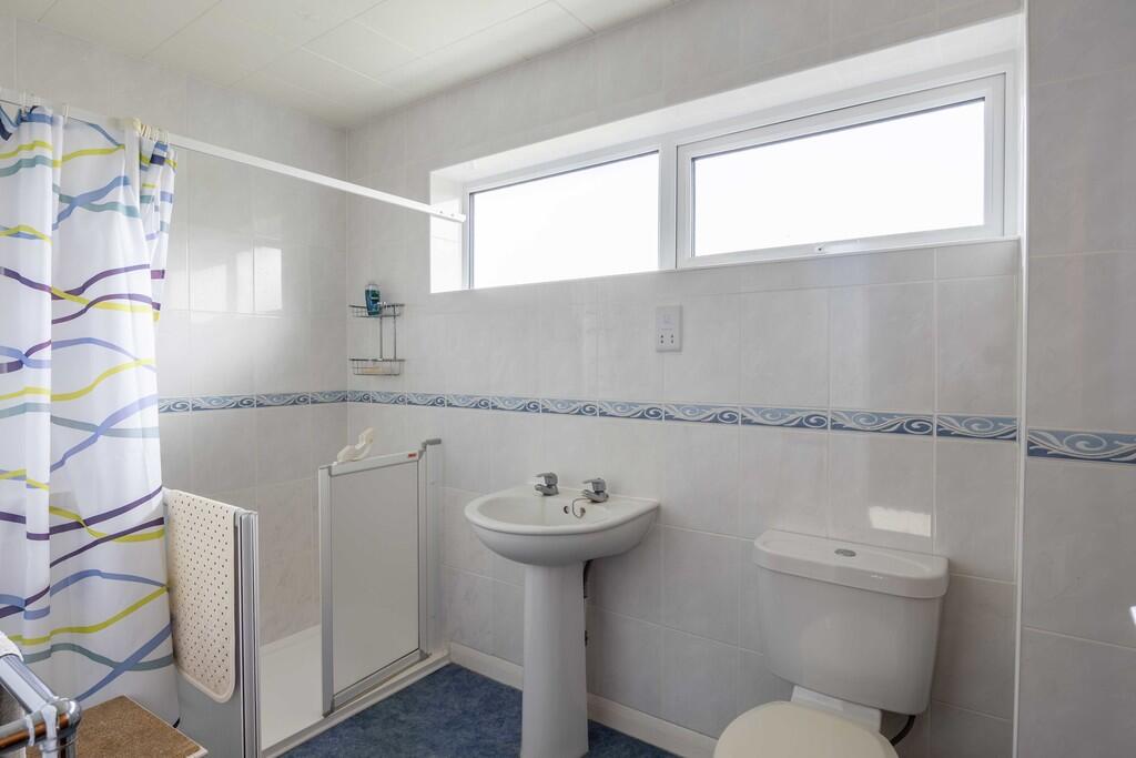
Bathrooms
1
Floor area
147 m²
EPC rating
D
Year built
England and Wales: 1967-1975
Last sold
£670,000 Feb 2026
Price per m²
£4,558/m²
Local average
£832,034 (46 sales)
Street crime
424 incidents within 1 mile (Apr 2026)
EPC Rating & Upgrade Cost
Current rating: D
Potential rating: C
Inspection date: 09/05/2019
Current heating cost: £931/year
Potential heating cost: £727/year
Est. upgrade cost to C: £13,565
Recommendations
- Cavity wall insulation (£500 - £1,500)
- Floor insulation (suspended floor) (£800 - £1,200)
- Low energy lighting for all fixed outlets (£65)
- Solar water heating (£4,000 - £6,000)
- Solar photovoltaic panels, 2.5 kWp (£5,000 - £8,000)
Price history
| Event | Date | Price | Type | % change | Today’s value (HPI) | Action |
|---|---|---|---|---|---|---|
| Sold | 24/02/2026 | £670,000 | Detached | +19.6% | £672,704 to March 2026 | View transaction |
| Sold | 26/06/2020 | £560,000 | Detached | — | £677,035 to March 2026 | View transaction |
Historic listings
Listing and sale events only where we matched the listing page to a Land Registry sale already on record for this address.
| Event | Date | Price |
|---|---|---|
| sold | 01/01/2026 | £670,000 |
| sold | 01/01/2026 | £670,000 |
| listed | 13/09/2025 | £675,000 |
| listed | 29/01/2020 | £580,000 |
| sold | 01/01/2020 | £560,000 |
| sold | 01/01/2020 | £560,000 |
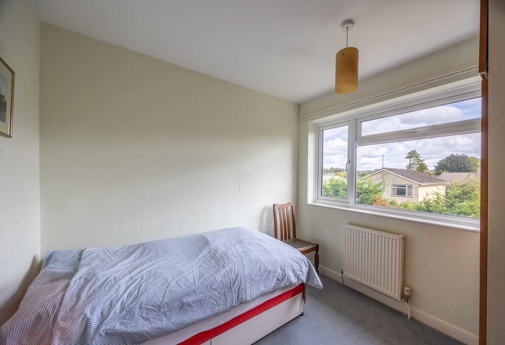
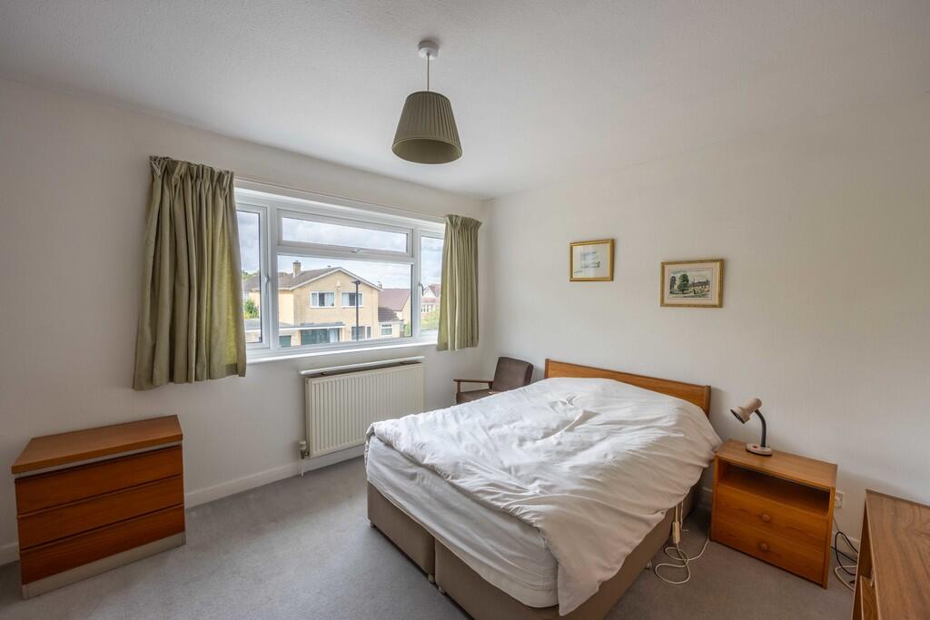
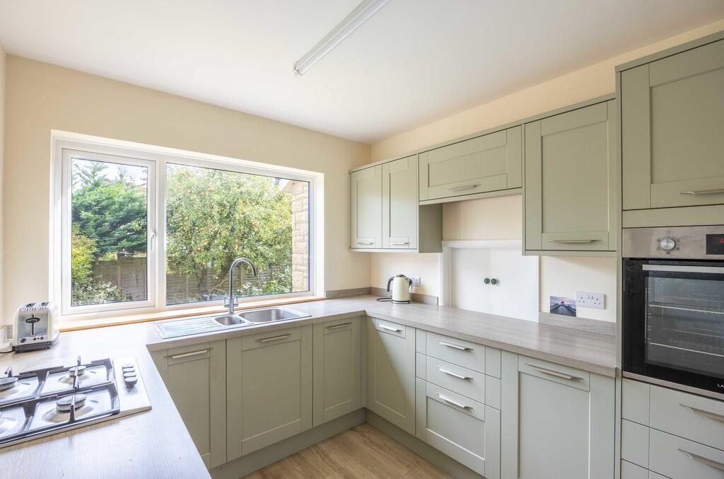
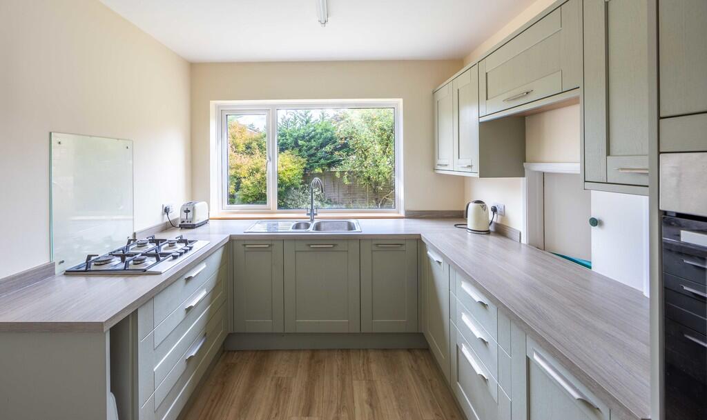
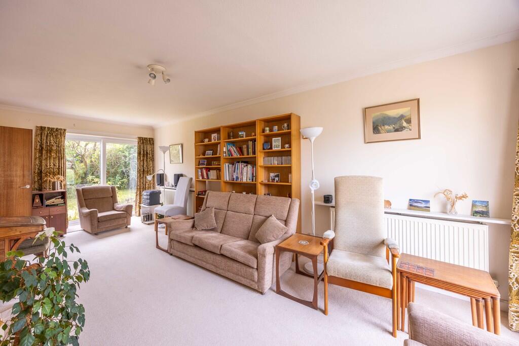
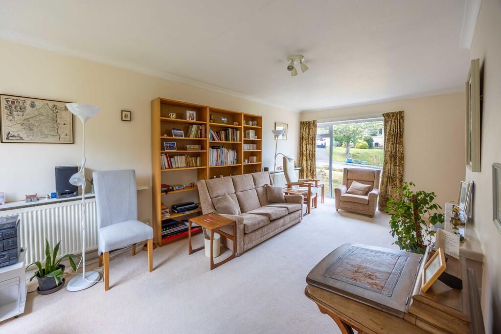
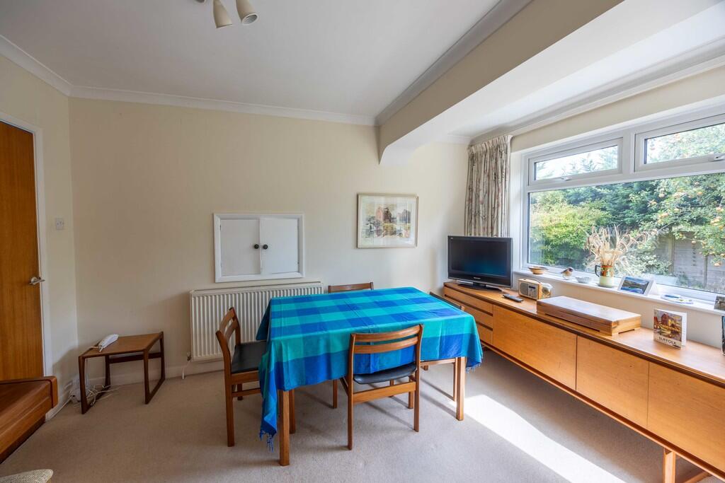
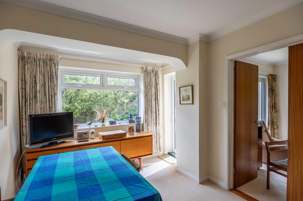
Photos · Open listing
 Open image 1 from listing 166973813
 Open image 2 from listing 166973813
 Open image 3 from listing 166973813
 Open image 4 from listing 166973813
 Open image 5 from listing 166973813
 Open image 6 from listing 166973813
 Open image 7 from listing 166973813
 Open image 8 from listing 166973813
 Open image 9 from listing 166973813
 Open image 10 from listing 166973813
 Open image 11 from listing 166973813
 Open image 12 from listing 166973813
Sold comparables
Same street and nearby sales within 0.25 miles (last 5 years). Land Registry Price Paid Data.
| Address | Price | Date | Type |
|---|---|---|---|
| ORCHARD CORNER HATFIELD ROAD, BATH, BATH AND NORTH EAST SOMERSET, BA2 2BD | £645,000 | 16/12/2025 | Detached |
| BRIARS COTTAGE ENTRY HILL DRIVE, BATH, BATH AND NORTH EAST SOMERSET, BA2 5NJ | £606,000 | 23/10/2025 | Detached |
| 174 BLOOMFIELD ROAD, BATH, BATH AND NORTH EAST SOMERSET, BA2 2AT | £750,000 | 01/12/2023 | Detached |
| ALMAPRI HENSLEY ROAD, BATH, BATH AND NORTH EAST SOMERSET, BA2 2DR | £625,000 | 01/12/2022 | Detached |
| 37 BLOOMFIELD PARK, BATH, BATH AND NORTH EAST SOMERSET, BA2 2BX | £1,800,000 | 28/10/2022 | Detached |
| 12 BLOOMFIELD PARK, BATH, BATH AND NORTH EAST SOMERSET, BA2 2BY | £1,333,338 | 21/10/2022 | Detached |
| 138 WELLSWAY, BATH, BATH AND NORTH EAST SOMERSET, BA2 4SE | £460,000 | 05/10/2022 | Detached |
| BEECHLANDS ENTRY HILL DRIVE, BATH, BATH AND NORTH EAST SOMERSET, BA2 5NJ | £1,700,000 | 28/09/2022 | Detached |
| 6 GREENWAY LANE, BATH, BATH AND NORTH EAST SOMERSET, BA2 4LJ | £710,000 | 26/08/2022 | Detached |
| 6 GREENWAY LANE, BATH, BATH AND NORTH EAST SOMERSET, BA2 4LJ | £710,000 | 26/08/2022 | Detached |
| 152A WELLSWAY, BATH, BATH AND NORTH EAST SOMERSET, BA2 4SE | £900,000 | 28/06/2022 | Detached |
| ARGYLL LODGE, 122 BLOOMFIELD ROAD, BATH, BATH AND NORTH EAST SOMERSET, BA2 2AS | £2,200,000 | 22/04/2022 | Detached |
| 24 CASTLE GARDENS, BATH, BATH AND NORTH EAST SOMERSET, BA2 2AN | £720,000 | 08/04/2022 | Detached |
| BRISHELLA ENTRY HILL, BATH, BATH AND NORTH EAST SOMERSET, BA2 5LY | £410,000 | 22/03/2022 | Detached |
| WESTWOOD HATFIELD ROAD, BATH, BATH AND NORTH EAST SOMERSET, BA2 2BD | £550,000 | 11/03/2022 | Detached |
| 13 HENSLEY ROAD, BATH, BATH AND NORTH EAST SOMERSET, BA2 2DR | £650,000 | 10/09/2021 | Detached |
| 31 CASTLE GARDENS, BATH, BATH AND NORTH EAST SOMERSET, BA2 2AN | £595,000 | 11/08/2021 | Detached |
| 26 ENTRY HILL, BATH, BATH AND NORTH EAST SOMERSET, BA2 5NQ | £734,000 | 30/07/2021 | Detached |
| 148 WELLSWAY, BATH, BATH AND NORTH EAST SOMERSET, BA2 4SE | £460,000 | 29/06/2021 | Detached |
| 2 CHANTRY MEAD ROAD, BATH, BATH AND NORTH EAST SOMERSET, BA2 2DA | £770,000 | 29/06/2021 | Detached |
Area average: £866,417 (20 sales)
For sale comparables
No active for-sale comparables found within 1 mile for the same bedrooms and property type.
Capital growth trend
Land Registry outcode average: last 12 months vs 5y and 10y ago (from sold prices).
House Price Index (HM Land Registry — official index, not sold-price averages): Bath and North East Somerset. Series: Detached. As of March 2026.
Rental Range
Estimated market rent for Bath and North East Somerset. Low = conservative, Realistic = average, Optimistic = best case.
Based on Local Authority from postcode lookup → Bath and North East Somerset.
LHA (30th percentile) floor for Bath: Apr 2025 – Mar 2026
Rental Comparables
Residential lets in the area (all bedroom counts shown — none matched the 4-bedroom count for this property). Student lets are excluded.
| Title | Rent | Beds | Distance | As seen on |
|---|---|---|---|---|
| 1 Bed Flat, Thornbank Place, BA2 | £1,195/mo | 1 | 0.72 miles | OpenRent |
Average rent: £1,195/mo (1 listing)
Rent-driven metrics
Based on OpenRent comparables.
- Rent ratio — Monthly rent ÷ purchase price (1% rule). 1%+ = strong, 0.8–1% = okay, <0.8% = weak for cashflow.
- Max investor price — Rent ÷ 0.8%; the price at which rent would be 0.8% of price (Stoke-style target).
- Target investor price — Rent ÷ 1%; the price at which rent would be 1% of price (strong cashflow band).
- Gross yield — Annual rent as % of purchase price (no costs).
- Cost-to-rent — Price ÷ annual rent (from OpenRent comparables). Under 14× = strong, 14–16× = acceptable, 17×+ = compressed.
- Cashflow — Rent minus mortgage, 10% maintenance, £25/mo compliance. Assumes 75% LTV, 3.95% APR (5yr fixed), 25yr term.
- ROI — Annual profit ÷ cash in (deposit + 4% purchase costs).
Flood risk
Zone: 1
Risk: Low
Not in Flood Risk Area (no data)
Street-level crime
| Category | Count |
|---|---|
| Violence and sexual offences | 104 |
| Shoplifting | 97 |
| Anti-social behaviour | 76 |
| Public order | 48 |
| Criminal damage and arson | 23 |
| Other theft | 18 |
| Vehicle crime | 17 |
| Burglary | 14 |
| Robbery | 11 |
| Drugs | 5 |
| Possession of weapons | 4 |
| Bicycle theft | 3 |
| Theft from the person | 3 |
| Other crime | 1 |
| Total incidents | 424 |
Within 1 mile during Apr 2026. Source: data.police.uk (England & Wales).
Schools nearby
Nearest open schools with Ofsted ratings (England). Closed schools are not shown. Data from Get Information about Schools and Ofsted.
| Name | Type | Distance | Ofsted |
|---|---|---|---|
| Moorlands Junior School | Primary | 0.4 miles | Good — 4 May 2023 |
| Moorlands Infant School | Primary | 0.4 miles | Good — 9 Jul 2023 |
| Beechen Cliff School | Secondary | 0.5 miles | Good — 8 Nov 2023 |
| The Paragon School, Junior School of Prior Park College | Other | 0.6 miles | — (No rating) |
| St John's Catholic Primary School | Primary | 0.6 miles | Good — 18 Oct 2023 |
FENSA
Checking FENSA certificates for this address. Refresh in a few minutes.