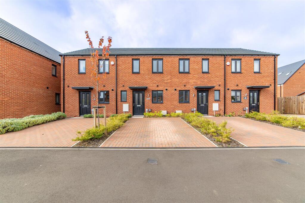
6 HAWK CHASE
KENTON BANK FOOT, NEWCASTLE UPON TYNE, TYNE AND WEAR, NE13 8DB
£217,000
Location
Nearby
Nearest stations, universities and amenities (distance from property).
| Type | Name | Distance |
|---|---|---|
| Bus stop | Ponteland Road | 0.1 miles |
| Train station | Callerton Parkway | 0.2 miles |
| Shop | WHSmith | 0.5 miles |
| University | Campus for Ageing and Vitality | 4.2 miles |
| Hospital | Ferndene - Children and Young Peoples Inpatient Service | 7.9 miles |
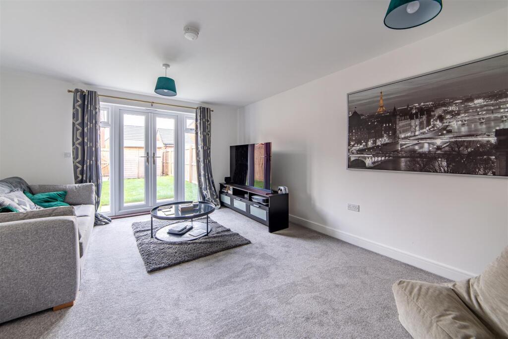
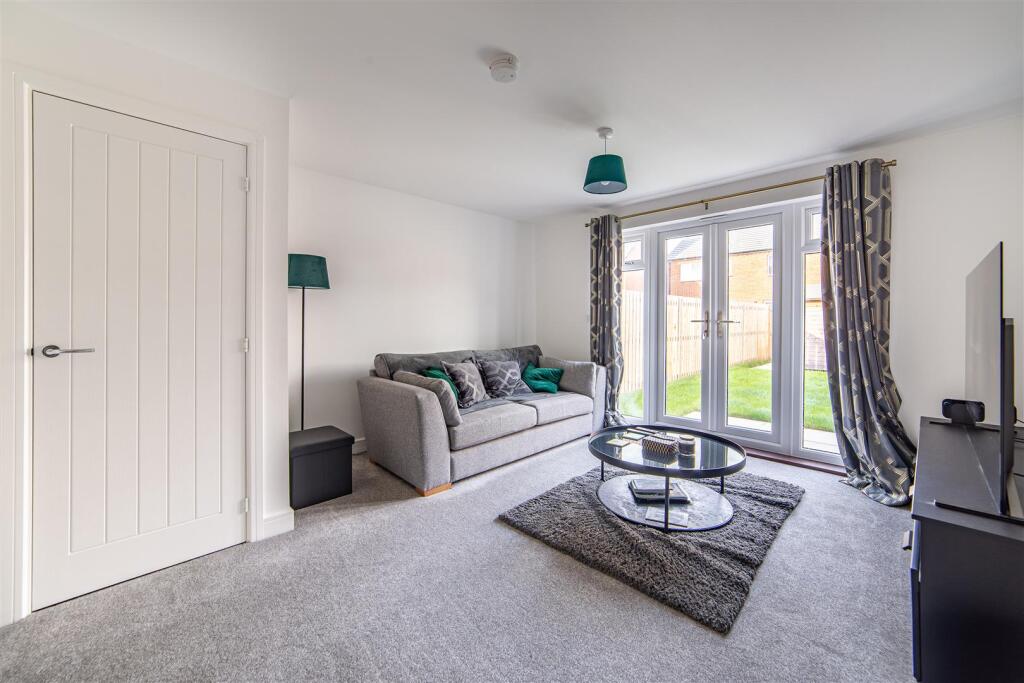
Property details
Tenure
Freehold
Property type
Terraced
Bedrooms
2
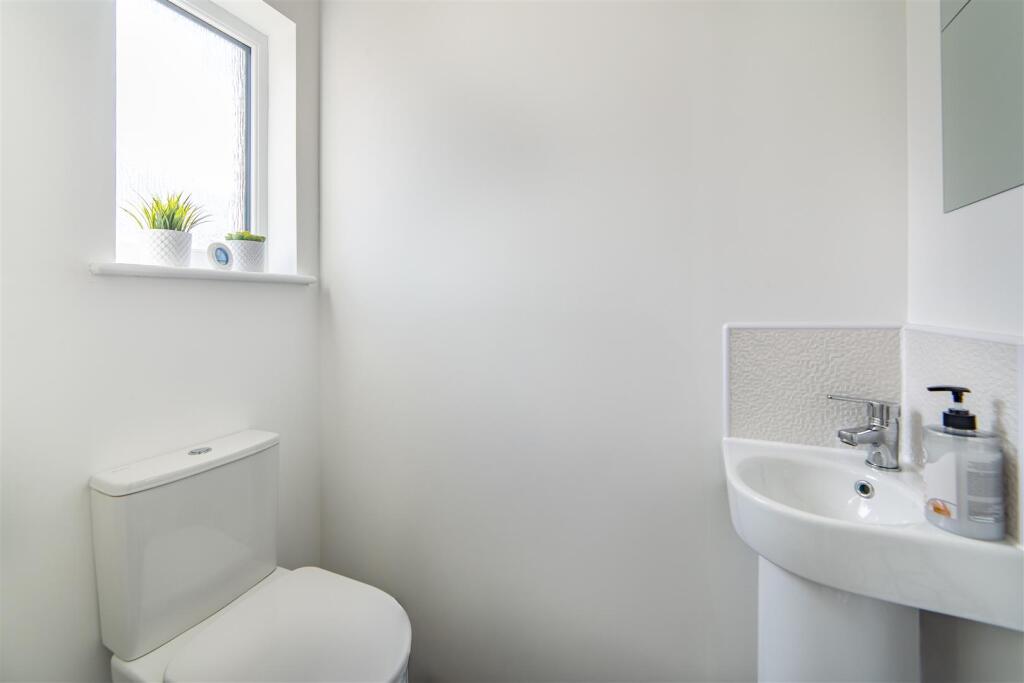
Bathrooms
1
Floor area
64 m²
EPC rating
B
Last sold
£217,000 Feb 2026
Price per m²
£3,391/m²
Local average
£220,778 (27 sales)
Street crime
23 incidents within 1 mile (May 2026)
EPC Rating & Upgrade Cost
Current rating: B
Potential rating: A
Inspection date: 07/06/2023
Expiry date: 06/06/2033
Est. upgrade cost to C: £9,500
Recommendations
- Solar water heating (£4,000 - £6,000)
- Solar photovoltaic panels, 2.5 kWp (£3,500 - £5,500)
Price history
| Event | Date | Price | Type | % change | Today’s value (HPI) | Action |
|---|---|---|---|---|---|---|
| Sold | 06/02/2026 | £217,000 | Terraced | — | £220,478 to April 2026 | View transaction |
Historic listings
Listing and sale events only where we matched the listing page to a Land Registry sale already on record for this address.
| Event | Date | Price |
|---|---|---|
| sold | 01/01/2026 | £217,000 |
| listed | 16/10/2025 | £210,000 |
| sold | 01/01/2023 | £189,995 |
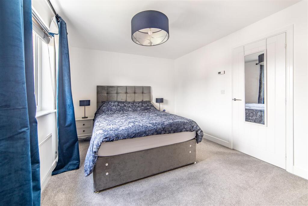
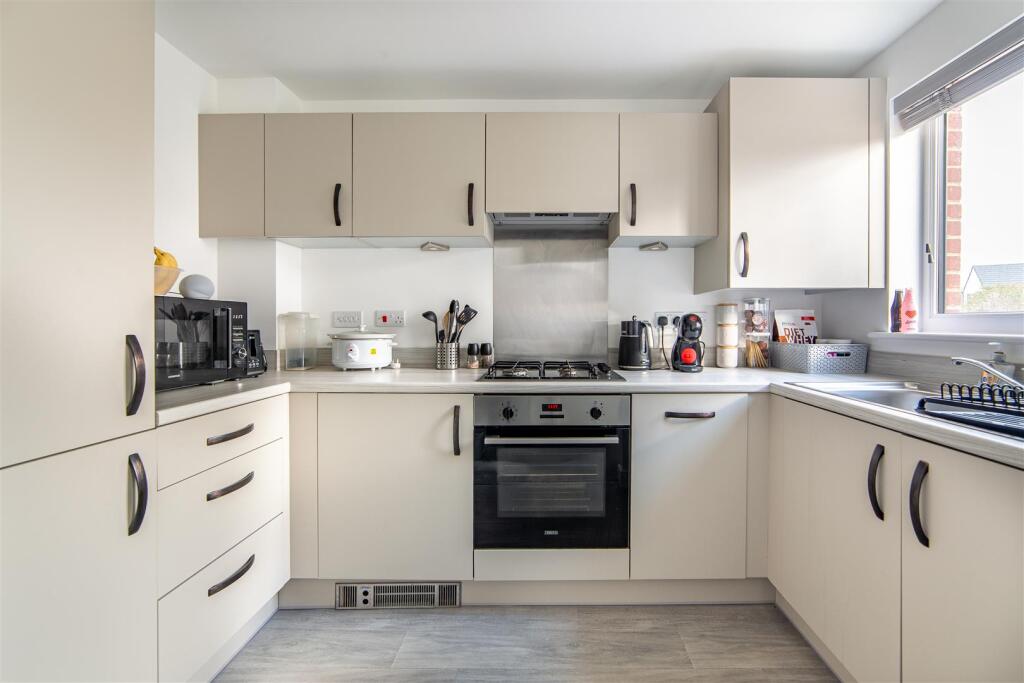
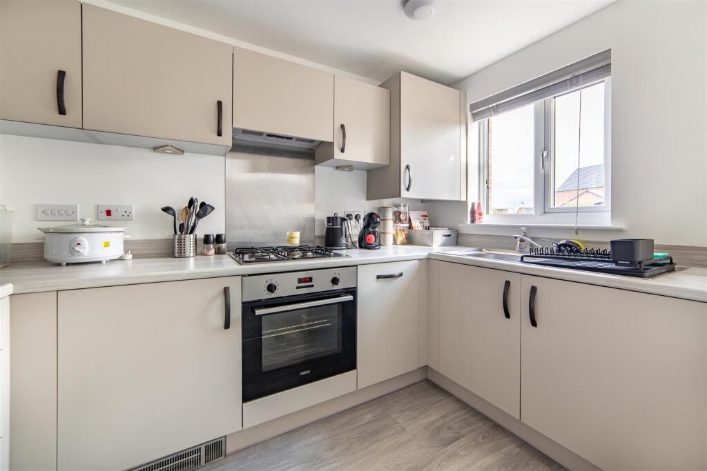
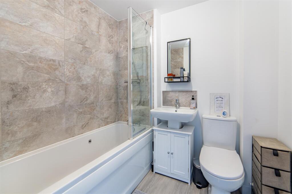
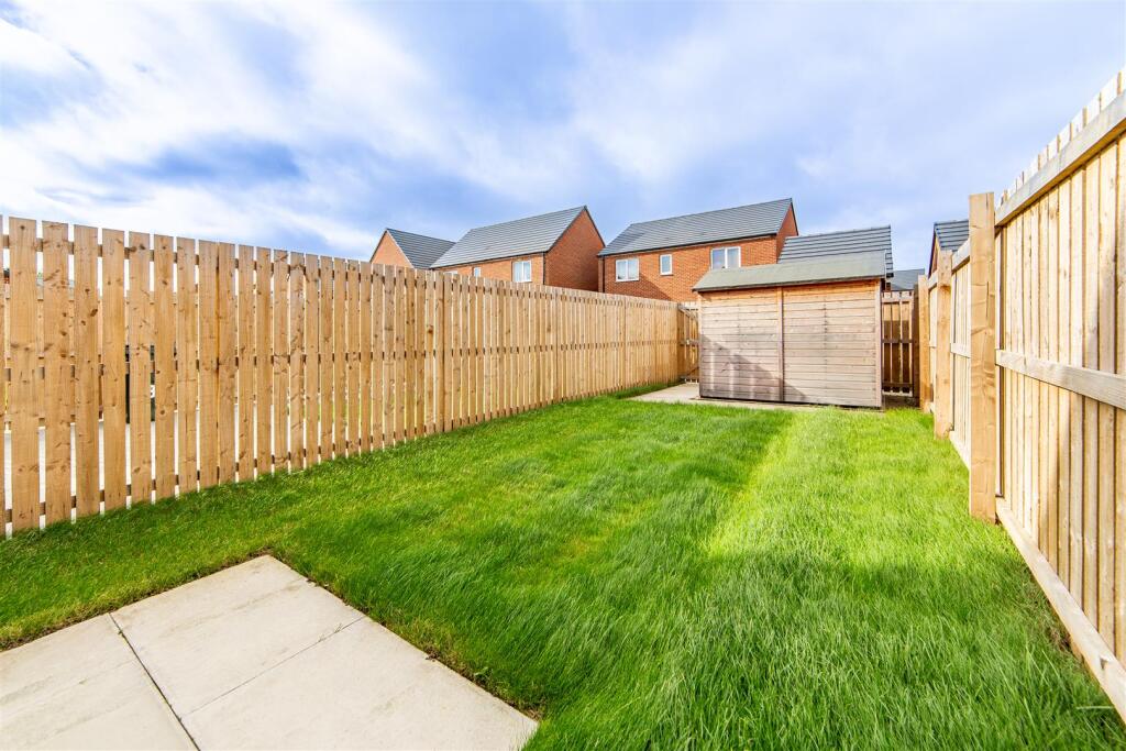
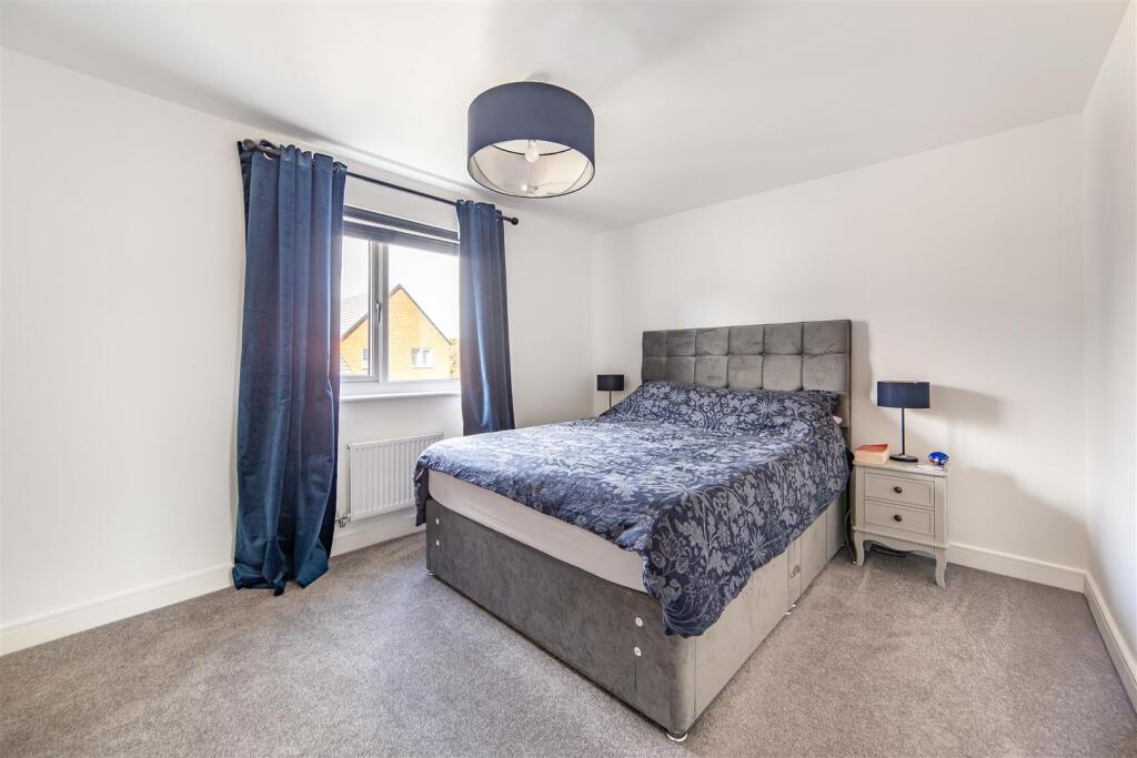
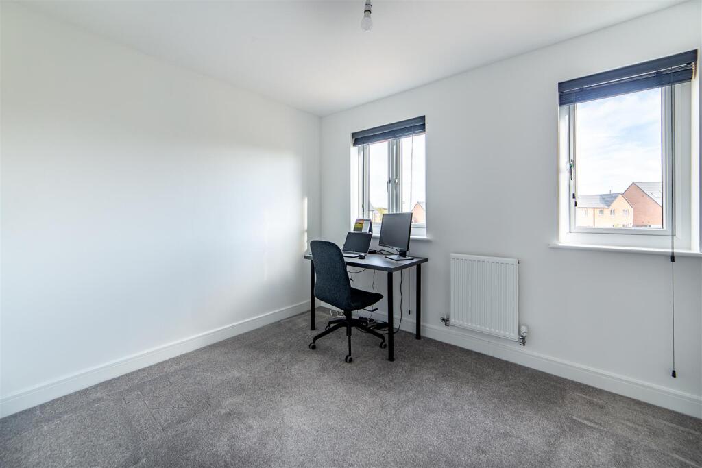
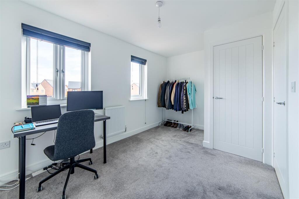
Photos · Open listing
 Open image 1 from listing 168243392
 Open image 2 from listing 168243392
 Open image 3 from listing 168243392
 Open image 4 from listing 168243392
 Open image 5 from listing 168243392
 Open image 6 from listing 168243392
 Open image 7 from listing 168243392
 Open image 8 from listing 168243392
 Open image 9 from listing 168243392
 Open image 10 from listing 168243392
 Open image 11 from listing 168243392
 Open image 12 from listing 168243392
Sold comparables
Same street and nearby sales within 0.25 miles (last 5 years). Land Registry Price Paid Data.
| Address | Price | Date | Type |
|---|---|---|---|
| 16 HAWK CHASE, KENTON BANK FOOT, NEWCASTLE UPON TYNE, TYNE AND WEAR, NE13 8DB | £210,000 | 21/11/2025 | Terraced |
| 14 HAWK CHASE, KENTON BANK FOOT, NEWCASTLE UPON TYNE, TYNE AND WEAR, NE13 8DB | £204,995 | 29/09/2023 | Terraced |
| 16 HAWK CHASE, KENTON BANK FOOT, NEWCASTLE UPON TYNE, TYNE AND WEAR, NE13 8DB | £201,995 | 11/08/2023 | Terraced |
Area average: £205,663 (3 sales)
For sale comparables
No active for-sale comparables found within 1 mile for the same bedrooms and property type.
Capital growth trend
Land Registry outcode average: last 12 months vs 5y and 10y ago (from sold prices).
House Price Index (HM Land Registry — official index, not sold-price averages): Newcastle upon Tyne. Series: Terraced. As of April 2026.
Rental Range
Estimated market rent for Newcastle upon Tyne. Low = conservative, Realistic = average, Optimistic = best case.
Based on Local Authority from postcode lookup → Newcastle upon Tyne.
LHA (30th percentile) floor for Tyneside: Apr 2025 – Mar 2026
Rental Comparables
Residential lets from OpenRent and Rightmove for the area (same bedroom count). Use to validate rent estimates. Student lets are excluded.
| Title | Rent | Beds | Distance | As seen on |
|---|---|---|---|---|
| 2 Bed Flat, Witton Court, NE3 | £750/mo | 2 | 2.09 miles | OpenRent |
Average rent: £750/mo (1 listing)
Rent-driven metrics
Based on OpenRent comparables.
- Rent ratio — Monthly rent ÷ purchase price (1% rule). 1%+ = strong, 0.8–1% = okay, <0.8% = weak for cashflow.
- Max investor price — Rent ÷ 0.8%; the price at which rent would be 0.8% of price (Stoke-style target).
- Target investor price — Rent ÷ 1%; the price at which rent would be 1% of price (strong cashflow band).
- Gross yield — Annual rent as % of purchase price (no costs).
- Cost-to-rent — Price ÷ annual rent (from OpenRent comparables). Under 14× = strong, 14–16× = acceptable, 17×+ = compressed.
- Cashflow — Rent minus mortgage, 10% maintenance, £25/mo compliance. Assumes 75% LTV, 3.95% APR (5yr fixed), 25yr term.
- ROI — Annual profit ÷ cash in (deposit + 4% purchase costs).
Flood risk
Zone: 1
Risk: Low
Not in Flood Risk Area (no data)
Street-level crime
| Category | Count |
|---|---|
| Criminal damage and arson | 6 |
| Anti-social behaviour | 3 |
| Other theft | 3 |
| Violence and sexual offences | 3 |
| Other crime | 2 |
| Shoplifting | 2 |
| Drugs | 1 |
| Public order | 1 |
| Theft from the person | 1 |
| Vehicle crime | 1 |
| Total incidents | 23 |
Within 1 mile during May 2026. Source: data.police.uk (England & Wales).
Schools nearby
Nearest open schools with Ofsted ratings (England). Closed schools are not shown. Data from Get Information about Schools and Ofsted.
| Name | Type | Distance | Ofsted |
|---|---|---|---|
| Havannah First School | Primary | 1.5 miles | Good — 29 Jan 2014 |
| Kingston Park Primary School | Primary | 1.6 miles | Good — 23 Nov 2013 |
| Simonside Primary School | Primary | 1.6 miles | Good — 2 Jun 2016 |
| Ponteland High School | Secondary | 1.9 miles | Good — 6 Jul 2023 |
| Ponteland Community Primary School | Primary | 1.9 miles | Good — 11 Dec 2023 |
FENSA
Checking FENSA certificates for this address. Refresh in a few minutes.