17A SHERIDAN ROAD
BELVEDERE, BEXLEY, GREATER LONDON, DA17 5AR
£205,000
Location
Nearby
Nearest stations, universities and amenities (distance from property).
| Type | Name | Distance |
|---|---|---|
| Bus stop | Gilbert Road | 0.1 miles |
| Shop | Greenwich & Bexley community hospice | 0.2 miles |
| Train station | Belvedere | 0.3 miles |
| University | Unknown | 4.2 miles |
| Hospital | Livingstone Community Hospitals | 4.7 miles |
Property details
Tenure
Leasehold
Property type
Flat
Bedrooms
1
Bathrooms
1
Floor area
44 m²
EPC rating
D
Year built
England and Wales: 1900-1929
Last sold
£205,000 Jul 2026
Price per m²
£4,659/m²
Local average
£240,024 (21 sales)
Street crime
259 incidents within 1 mile (Aug 2026)
EPC Rating & Upgrade Cost
Current rating: D
Potential rating: C
Inspection date: 03/02/2026
Expiry date: 02/02/2036
Current heating cost: £727/year
Potential heating cost: £373/year
Est. upgrade cost to C: £27,100
Recommendations
- 50 mm internal or external wall insulation (£7,500 - £11,000)
- Floor insulation (suspended floor) (£5,000 - £10,000)
- Floor insulation (solid floor) (£5,000 - £10,000)
- Replace boiler with new condensing boiler (£2,200 - £3,500)
Price history
| Event | Date | Price | Type | % change | Today’s value (HPI) | Action |
|---|---|---|---|---|---|---|
| Sold | 24/07/2026 | £205,000 | Flat | +13.9% | £205,000 to July 2026 | View transaction |
| Sold | 20/10/2023 | £180,000 | Flat | +348.9% | £182,293 to July 2026 | View transaction |
| Sold | 30/06/2000 | £40,100 | Flat | — | £139,111 to July 2026 | View transaction |
Historic listings
Listing and sale events only where we matched the listing page to a Land Registry sale already on record for this address.
| Event | Date | Price |
|---|---|---|
| listed | 04/02/2026 | £200,000 |
| sold | 01/01/2026 | £205,000 |
| sold | 01/01/2023 | £180,000 |
| sold | 01/01/2000 | £40,100 |
Photos · Open listing
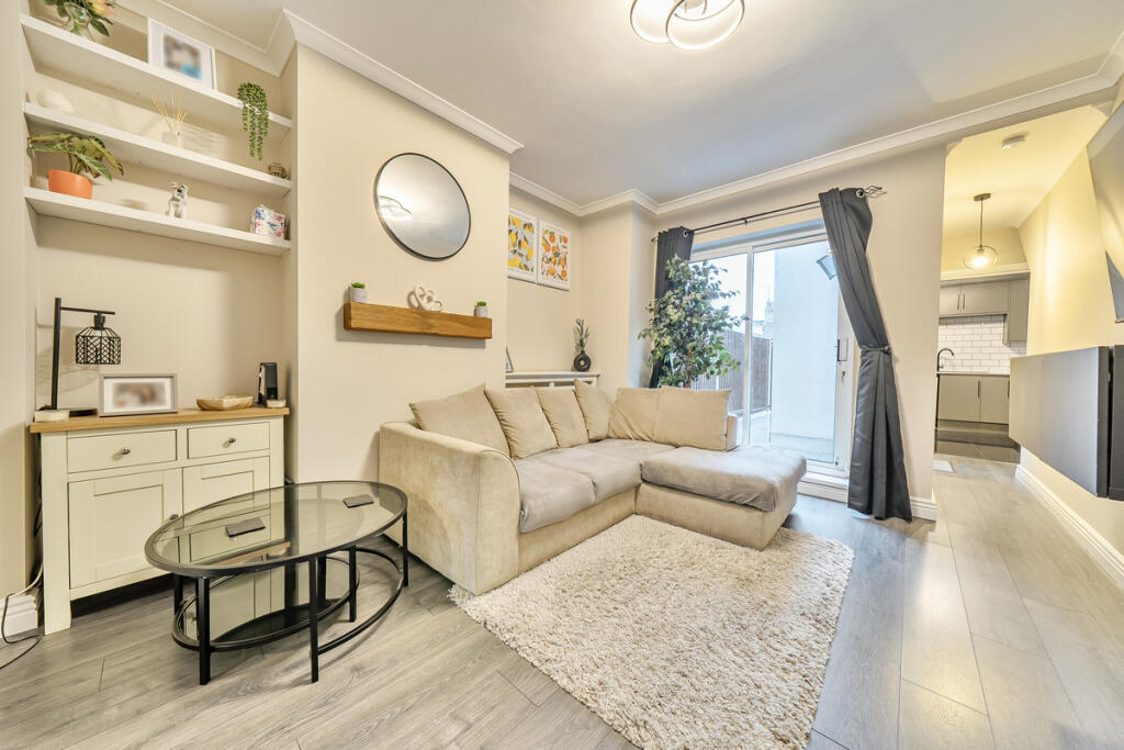 Open image 1 from listing 171853136
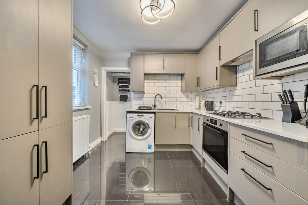 Open image 2 from listing 171853136
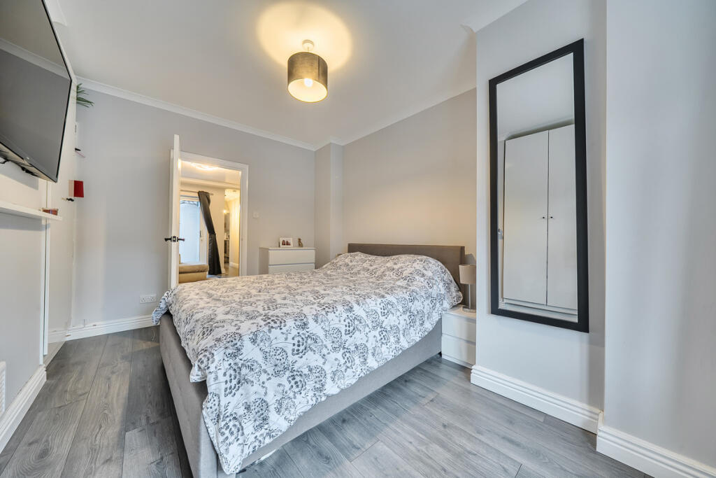 Open image 3 from listing 171853136
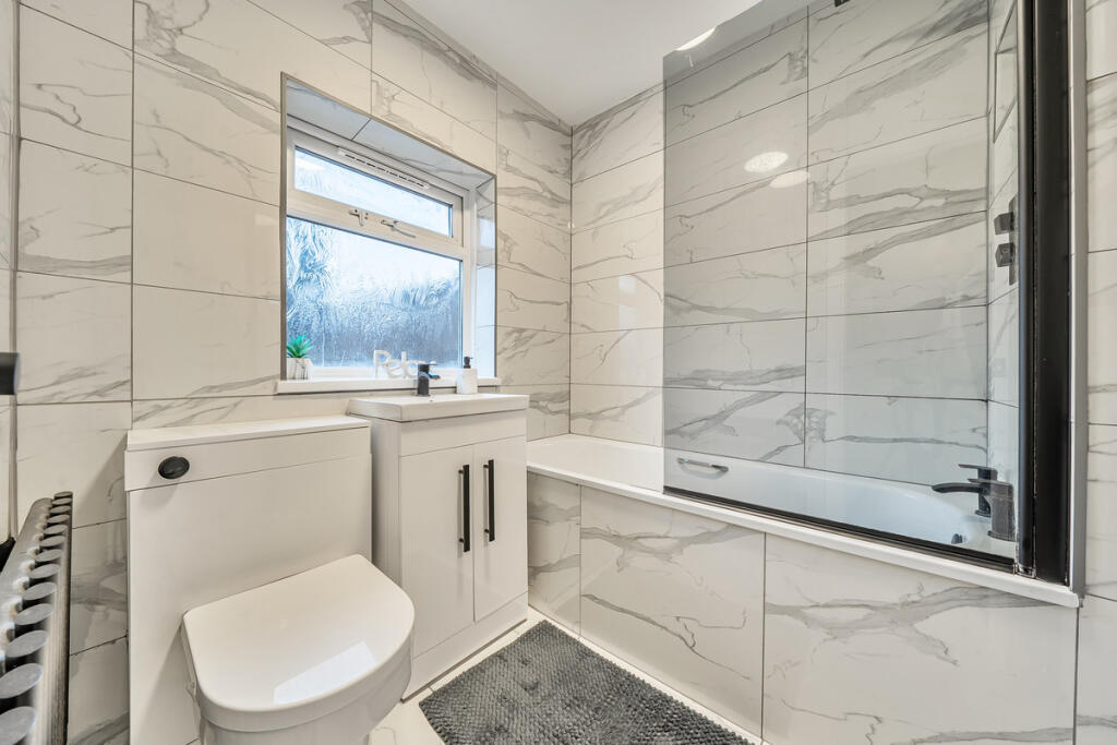 Open image 4 from listing 171853136
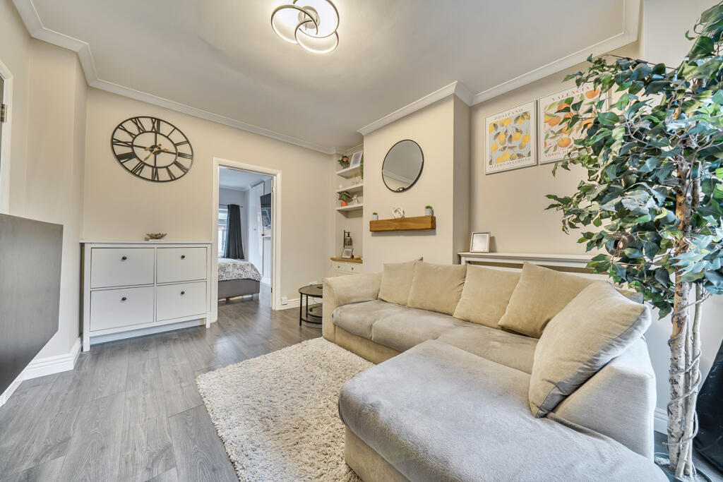 Open image 5 from listing 171853136
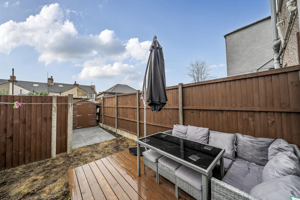 Open image 6 from listing 171853136
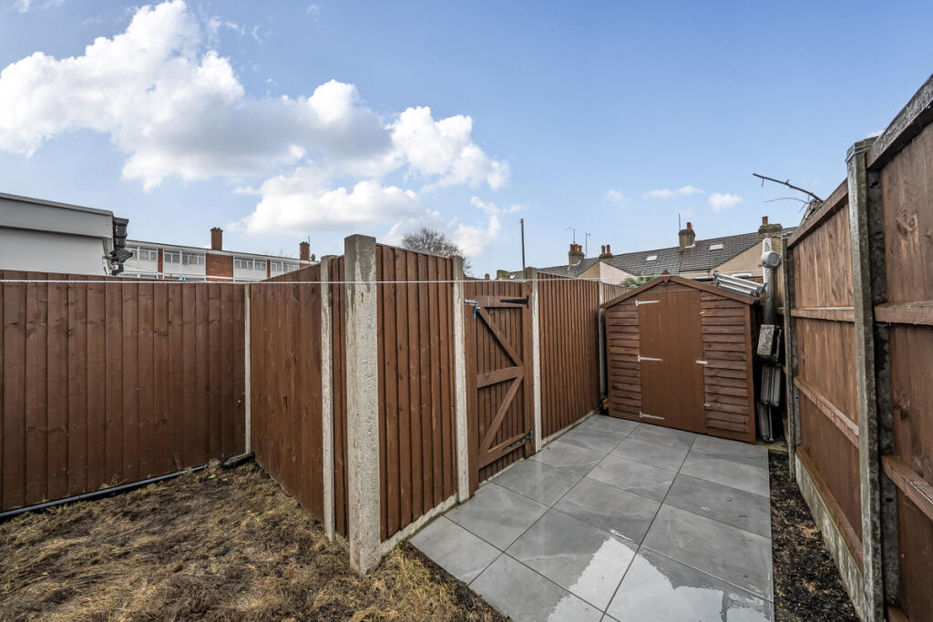 Open image 7 from listing 171853136
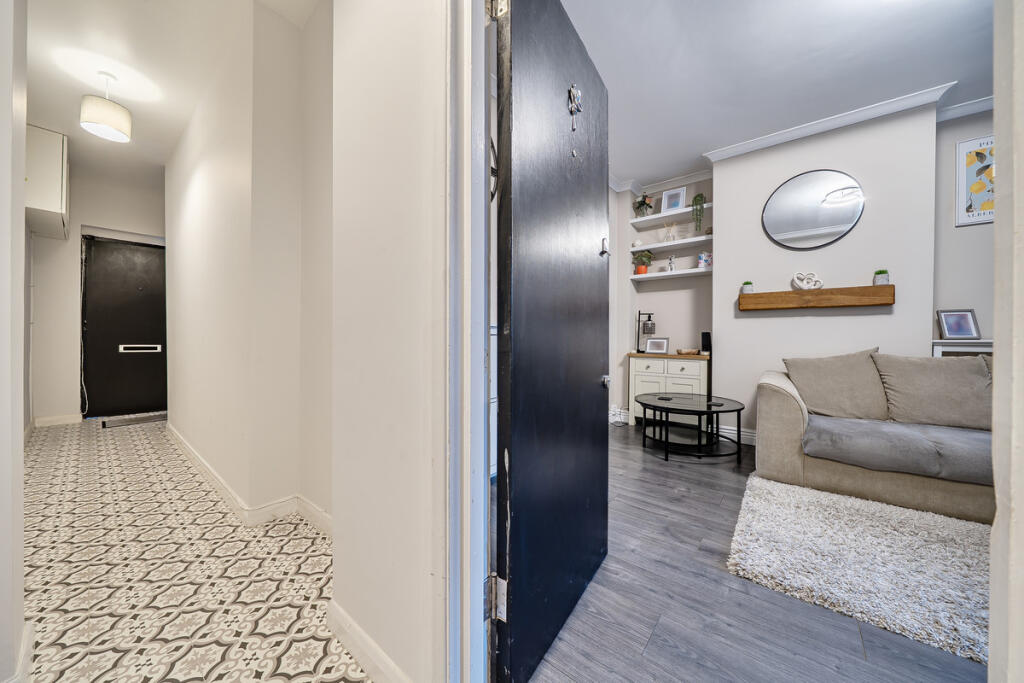 Open image 8 from listing 171853136
 Open image 9 from listing 171853136
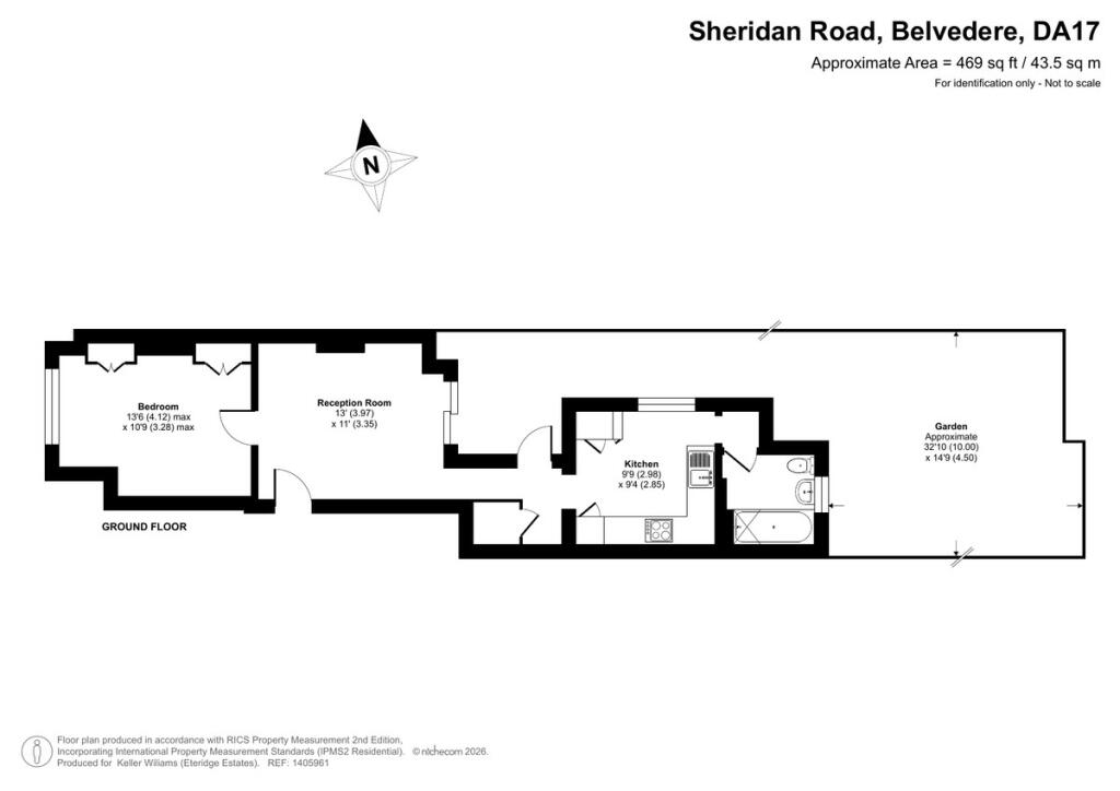 Open image 10 from listing 171853136
Sold comparables
No comparable sales found in this area for the last 5 years.
For sale comparables
No active for-sale comparables found within 1 mile for the same bedrooms and property type.
Capital growth trend
Land Registry outcode average: last 12 months vs 5y and 10y ago (from sold prices).
House Price Index (HM Land Registry — official index, not sold-price averages): Bexley. Series: Flats and maisonettes. As of July 2026.
Rental Range
Estimated market rent for Bexley. Low = conservative, Realistic = average, Optimistic = best case.
Based on Local Authority from postcode lookup → Bexley.
LHA (30th percentile) floor for Outer North East London: Apr 2025 – Mar 2026
Rental Comparables
Residential lets from OpenRent and Rightmove for the area (same bedroom count). Use to validate rent estimates. Student lets are excluded.
| Title | Rent | Beds | Distance | As seen on |
|---|---|---|---|---|
| Studio Flat, Caldy Road, DA17 | £892/mo | 1 | 0.32 miles | OpenRent |
| 1 Bed Flat, Clydesdale Way, DA17 | £1,450/mo | 1 | 0.58 miles | OpenRent |
Average rent: £1,171/mo (2 listings)
Rent-driven metrics
Based on OpenRent comparables.
- Rent ratio — Monthly rent ÷ purchase price (1% rule). 1%+ = strong, 0.8–1% = okay, <0.8% = weak for cashflow.
- Max investor price — Rent ÷ 0.8%; the price at which rent would be 0.8% of price (Stoke-style target).
- Target investor price — Rent ÷ 1%; the price at which rent would be 1% of price (strong cashflow band).
- Gross yield — Annual rent as % of purchase price (no costs).
- Cost-to-rent — Price ÷ annual rent (from OpenRent comparables). Under 14× = strong, 14–16× = acceptable, 17×+ = compressed.
- Cashflow — Rent minus mortgage, 10% maintenance, £25/mo compliance. Assumes 75% LTV, 3.95% APR (5yr fixed), 25yr term.
- ROI — Annual profit ÷ cash in (deposit + 4% purchase costs).
Flood risk
Zone: 1
Risk: Low
Job (default Low)
Registered land (INSPIRE)
This location falls inside an HM Land Registry INSPIRE registered freehold polygon.
Building plot (shared): ~137 m² (0.03 acres) (area is for the building, not the flat)
Source: HM Land Registry INSPIRE Index Polygons.
Street-level crime
| Category | Count |
|---|---|
| Violence and sexual offences | 85 |
| Anti-social behaviour | 62 |
| Vehicle crime | 29 |
| Shoplifting | 27 |
| Other theft | 19 |
| Public order | 14 |
| Drugs | 7 |
| Burglary | 6 |
| Robbery | 3 |
| Other crime | 2 |
| Possession of weapons | 2 |
| Theft from the person | 2 |
| Bicycle theft | 1 |
| Total incidents | 259 |
Within 1 mile during Aug 2026. Source: data.police.uk (England & Wales).
Schools nearby
Nearest open schools with Ofsted ratings (England). Closed schools are not shown. Data from Get Information about Schools and Ofsted.
| Name | Type | Distance | Ofsted |
|---|---|---|---|
| St Augustine of Canterbury CofE Primary School | Primary | 0.2 miles | Good — 12 May 2015 |
| Cornerstone School | Other | 0.3 miles | Good — 14 Jul 2024 |
| Belvedere Junior School | Primary | 0.4 miles | Good — 12 Feb 2015 |
| Belvedere Infant School | Primary | 0.5 miles | Good — 19 Sep 2016 |
| Northwood Primary School | Primary | 0.5 miles | Good — 1 Nov 2011 |
FENSA
FENSA certificate details will appear here after the next background check. If nothing changes after a few minutes, try refreshing the page.