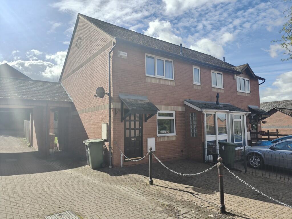
6 BYFIELD RISE
WORCESTER, WORCESTERSHIRE, WR5 1BA
£199,500
Location
Nearby
Nearest stations, universities and amenities (distance from property).
| Type | Name | Distance |
|---|---|---|
| Bus stop | Shrub Hill Station | 0.1 miles |
| Shop | M Rimell | 0.1 miles |
| Train station | Worcester Shrub Hill | 0.1 miles |
| University | University of Worcester Lakeside Campus | 4.6 miles |
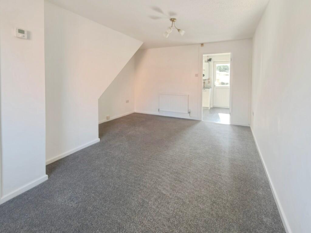
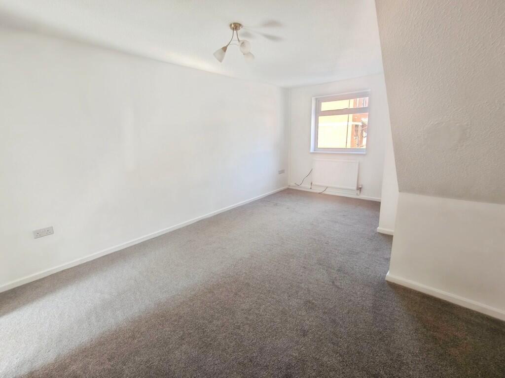
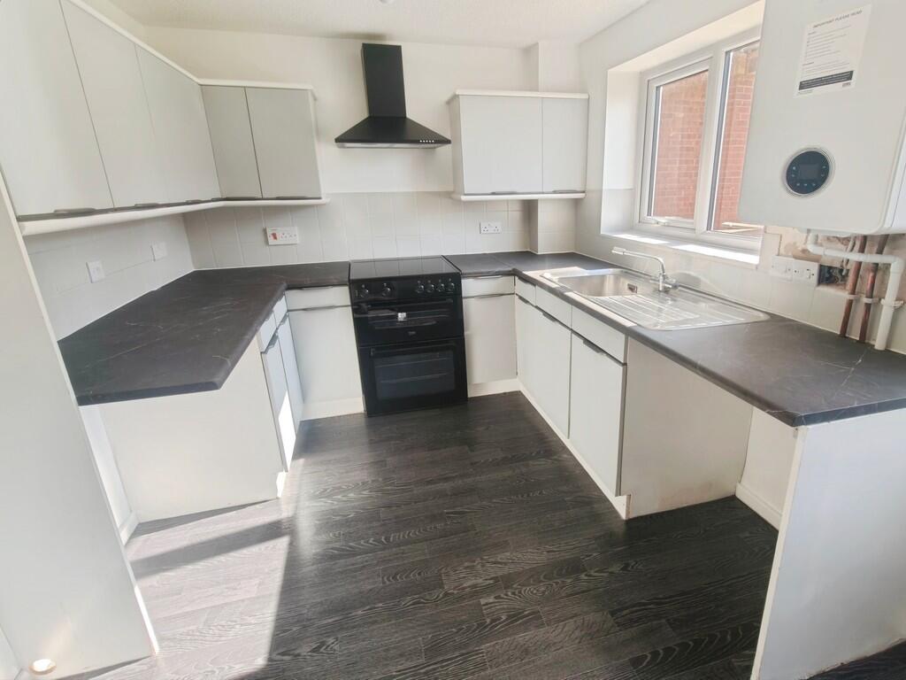
Property details
Tenure
Freehold
Property type
Semi-detached
Bedrooms
2
Bathrooms
1
Floor area
52 m²
EPC rating
C
Year built
England and Wales: 1983-1990
Last sold
£199,500 Feb 2026
Price per m²
£3,837/m²
Local average
£267,486 (37 sales)
Street crime
485 incidents within 1 mile (Apr 2026)
EPC Rating & Upgrade Cost
Current rating: C
Potential rating: B
Inspection date: 01/02/2025
Expiry date: 31/01/2035
Est. upgrade cost to C: £14,523
Recommendations
- Floor insulation (solid floor) (£4,000 - £6,000)
- Increase hot water cylinder insulation (£15 - £30)
- Solar water heating (£4,000 - £6,000)
- Solar photovoltaic panels, 2.5 kWp (£3,500 - £5,500)
Price history
| Event | Date | Price | Type | % change | Today’s value (HPI) | Action |
|---|---|---|---|---|---|---|
| Sold | 17/02/2026 | £199,500 | Semi-detached | +232.5% | £197,410 to March 2026 | View transaction |
| Sold | 17/03/2000 | £60,000 | Semi-detached | — | £234,361 to March 2026 | View transaction |
Historic listings
Listing and sale events only where we matched the listing page to a Land Registry sale already on record for this address.
| Event | Date | Price |
|---|---|---|
| listed | 26/03/2026 | £1,100 |
| sold | 01/01/2026 | £199,500 |
| sold | 01/01/2000 | £60,000 |
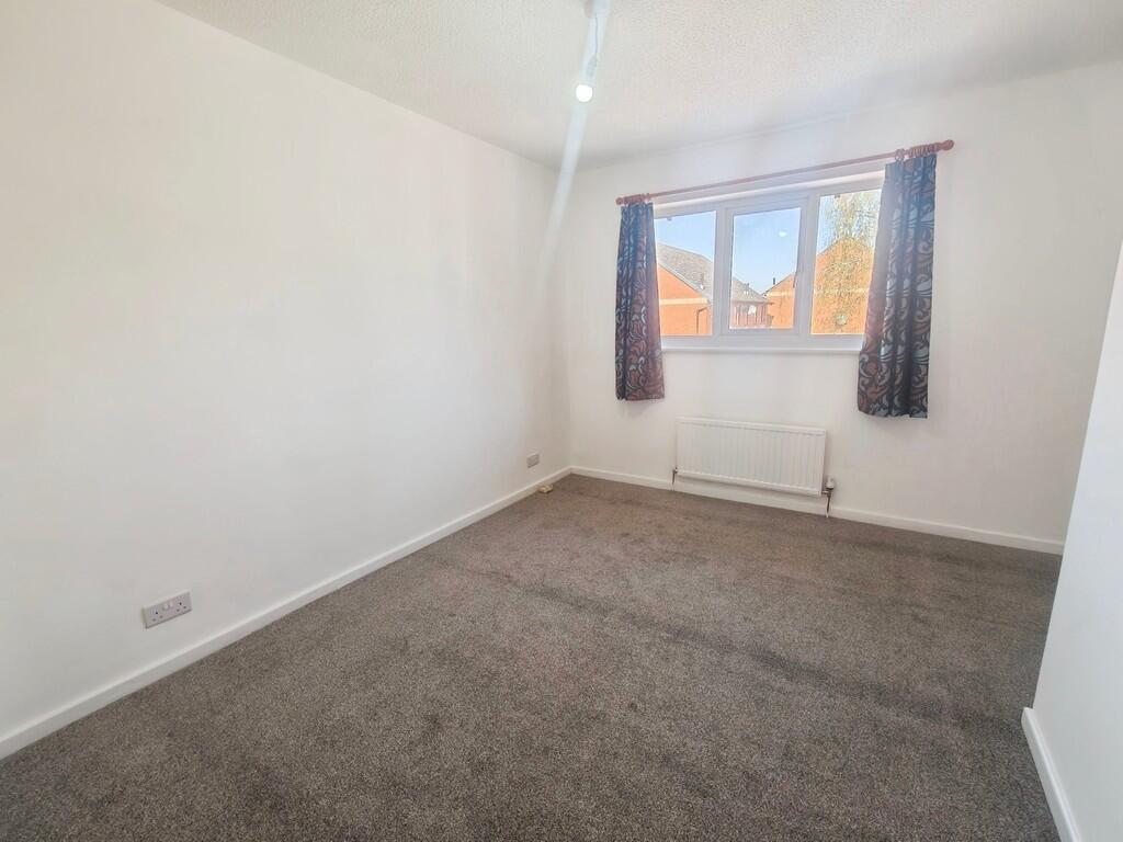
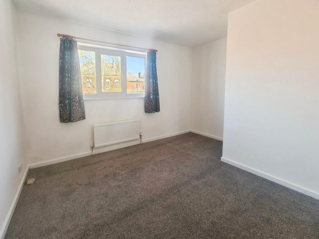
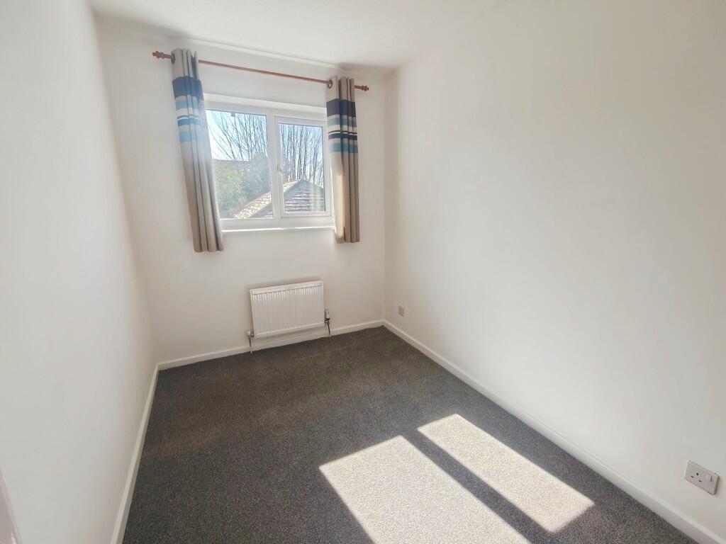
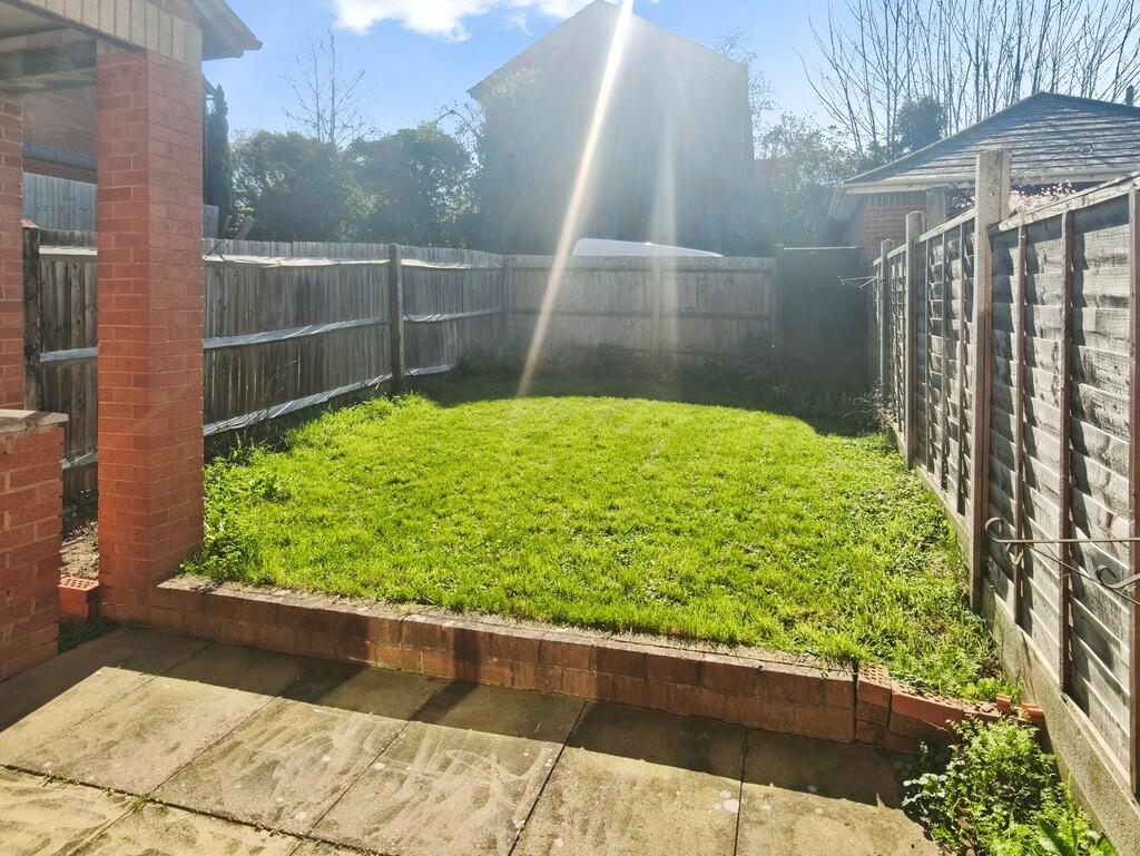
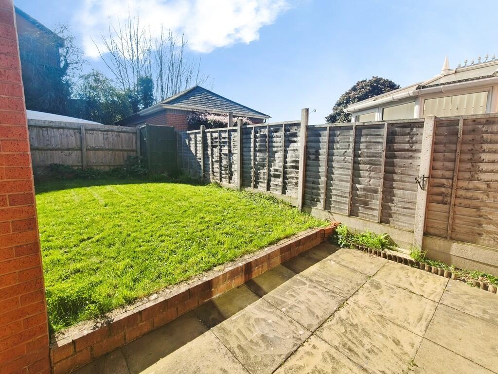
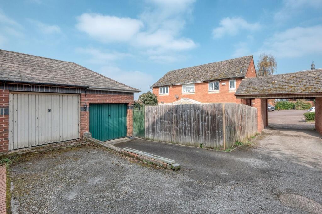
Photos · Open listing
 Open image 1 from listing 173742959
 Open image 2 from listing 173742959
 Open image 3 from listing 173742959
 Open image 4 from listing 173742959
 Open image 5 from listing 173742959
 Open image 6 from listing 173742959
 Open image 7 from listing 173742959
 Open image 8 from listing 173742959
 Open image 9 from listing 173742959
 Open image 10 from listing 173742959
 Open image 11 from listing 173742959
Sold comparables
Same street and nearby sales within 0.25 miles (last 5 years). Land Registry Price Paid Data.
| Address | Price | Date | Type |
|---|---|---|---|
| 3 WILLOW BANK, WHITTINGTON, WORCESTER, WYCHAVON, WORCESTERSHIRE, WR5 1BF | £280,000 | 21/11/2025 | Semi-detached |
| 15 HILL STREET, WORCESTER, WORCESTERSHIRE, WR5 1BQ | £210,000 | 30/11/2023 | Semi-detached |
| 149 MEDWAY ROAD, RONKSWOOD, WORCESTER, WORCESTERSHIRE, WR5 1NA | £238,000 | 21/09/2022 | Semi-detached |
| 124 MEDWAY ROAD, RONKSWOOD, WORCESTER, WORCESTERSHIRE, WR5 1NA | £177,500 | 28/07/2022 | Semi-detached |
| 8 KENNET GREEN, WORCESTER, WORCESTERSHIRE, WR5 1JQ | £229,100 | 07/07/2022 | Semi-detached |
| 137 MEDWAY ROAD, RONKSWOOD, WORCESTER, WORCESTERSHIRE, WR5 1NA | £220,000 | 28/01/2022 | Semi-detached |
| 53 STANLEY ROAD, WORCESTER, WORCESTERSHIRE, WR5 1BB | £165,000 | 22/10/2021 | Semi-detached |
| 1 WILLOW BANK, WHITTINGTON, WORCESTER, WYCHAVON, WORCESTERSHIRE, WR5 1BF | £255,000 | 27/08/2021 | Semi-detached |
| 3 WILLOW BANK, WHITTINGTON, WORCESTER, WYCHAVON, WORCESTERSHIRE, WR5 1BF | £255,000 | 27/08/2021 | Semi-detached |
| 38 WILLOW BANK, WHITTINGTON, WORCESTER, WYCHAVON, WORCESTERSHIRE, WR5 1BF | £226,000 | 30/06/2021 | Semi-detached |
| 36 WILLOW BANK, WHITTINGTON, WORCESTER, WYCHAVON, WORCESTERSHIRE, WR5 1BF | £226,000 | 30/06/2021 | Semi-detached |
Area average: £225,600 (11 sales)
For sale comparables
No active for-sale comparables found within 1 mile for the same bedrooms and property type.
Capital growth trend
Land Registry outcode average: last 12 months vs 5y and 10y ago (from sold prices).
House Price Index (HM Land Registry — official index, not sold-price averages): Worcester. Series: Semi-detached. As of March 2026.
Rental Range
Estimated market rent for Worcester. Low = conservative, Realistic = average, Optimistic = best case.
Based on Local Authority from postcode lookup → Worcester.
LHA (30th percentile) floor for Worcester South: Apr 2025 – Mar 2026
Rental Comparables
Residential lets from OpenRent and Rightmove for the area (same bedroom count). Use to validate rent estimates. Student lets are excluded.
| Title | Rent | Beds | Distance | As seen on |
|---|---|---|---|---|
| 2 Bed Semi-Detached House, Wylds Lane, WR5 | £600/mo | 2 | 0.33 miles | OpenRent |
| 2 Bed Terraced House, Prince Rupert Road, WR5 | £1,000/mo | 2 | 0.35 miles | OpenRent |
| 2 Bed Terraced House, Hamilton Road, WR5 | £1,100/mo | 2 | 0.39 miles | OpenRent |
| 2 Bed Semi-Detached House, Woodland Close, WR3 | £1,175/mo | 2 | 1.24 miles | OpenRent |
Average rent: £969/mo (4 listings)
Rent-driven metrics
Based on OpenRent comparables.
- Rent ratio — Monthly rent ÷ purchase price (1% rule). 1%+ = strong, 0.8–1% = okay, <0.8% = weak for cashflow.
- Max investor price — Rent ÷ 0.8%; the price at which rent would be 0.8% of price (Stoke-style target).
- Target investor price — Rent ÷ 1%; the price at which rent would be 1% of price (strong cashflow band).
- Gross yield — Annual rent as % of purchase price (no costs).
- Cost-to-rent — Price ÷ annual rent (from OpenRent comparables). Under 14× = strong, 14–16× = acceptable, 17×+ = compressed.
- Cashflow — Rent minus mortgage, 10% maintenance, £25/mo compliance. Assumes 75% LTV, 3.95% APR (5yr fixed), 25yr term.
- ROI — Annual profit ÷ cash in (deposit + 4% purchase costs).
Flood risk
Zone: 1
Risk: Low
Job (default Low)
Street-level crime
| Category | Count |
|---|---|
| Violence and sexual offences | 201 |
| Shoplifting | 74 |
| Criminal damage and arson | 49 |
| Public order | 33 |
| Other theft | 31 |
| Burglary | 30 |
| Vehicle crime | 15 |
| Drugs | 13 |
| Bicycle theft | 10 |
| Other crime | 9 |
| Possession of weapons | 8 |
| Robbery | 8 |
| Theft from the person | 4 |
| Total incidents | 485 |
Within 1 mile during Apr 2026. Source: data.police.uk (England & Wales).
Schools nearby
Nearest open schools with Ofsted ratings (England). Closed schools are not shown. Data from Get Information about Schools and Ofsted.
| Name | Type | Distance | Ofsted |
|---|---|---|---|
| Stanley Road Primary School | Primary | 0.2 miles | Requires improvement — 2 Aug 2023 |
| Newbridge School | Other | 0.2 miles | Good — 30 Nov 2023 |
| Fort Royal | Other | 0.4 miles | Good — 27 Feb 2013 |
| The King's School | Other | 0.6 miles | — (No rating) |
| Hollymount School | Primary | 0.7 miles | Good — 17 Jul 2023 |
FENSA
Checking FENSA certificates for this address. Refresh in a few minutes.