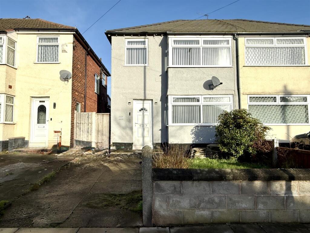
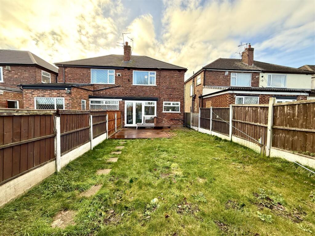
110 MILTON AVENUE
LIVERPOOL, KNOWSLEY, MERSEYSIDE, L14 6TQ
£218,500
Location
Nearby
Nearest stations, universities and amenities (distance from property).
| Type | Name | Distance |
|---|---|---|
| Bus stop | Milton Avenue | 0.1 miles |
| Shop | Today's Extra | 0.3 miles |
| Train station | Broad Green | 0.7 miles |
| Hospital | Research Dept (LHCH) | 0.8 miles |
| University | Liverpool Hope University | 3.7 miles |
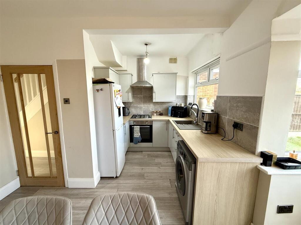
Property details
Tenure
Freehold
Property type
Semi-detached
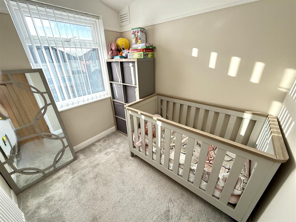
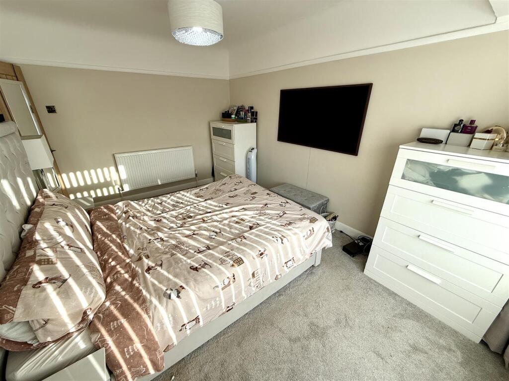
Bedrooms
3
Bathrooms
1
Floor area
80 m²
EPC rating
D
Year built
England and Wales: 1930-1949
Last sold
£218,500 Mar 2026
Price per m²
£2,731/m²
Local average
£190,150 (31 sales)
Street crime
192 incidents within 1 mile (May 2026)
EPC Rating & Upgrade Cost
Current rating: D
Potential rating: B
Inspection date: 06/03/2019
Expiry date: 05/03/2029
Current heating cost: £577/year
Potential heating cost: £354/year
Est. upgrade cost to C: £21,540
Recommendations
- 50 mm internal or external wall insulation (£4,000 - £14,000)
- Floor insulation (suspended floor) (£800 - £1,200)
- Low energy lighting for all fixed outlets (£40)
- Solar water heating (£4,000 - £6,000)
- Solar photovoltaic panels, 2.5 kWp (£5,000 - £8,000)
Price history
| Event | Date | Price | Type | % change | Today’s value (HPI) | Action |
|---|---|---|---|---|---|---|
| Sold | 27/03/2026 | £218,500 | Semi-detached | +27.8% | £220,299 to April 2026 | View transaction |
| Sold | 30/09/2021 | £171,000 | Semi-detached | — | £215,362 to April 2026 | View transaction |
Historic listings
Listing and sale events only where we matched the listing page to a Land Registry sale already on record for this address.
| Event | Date | Price |
|---|---|---|
| listed | 08/01/2026 | £215,000 |
| sold | 01/01/2026 | £218,500 |
| sold | 01/01/2021 | £171,000 |
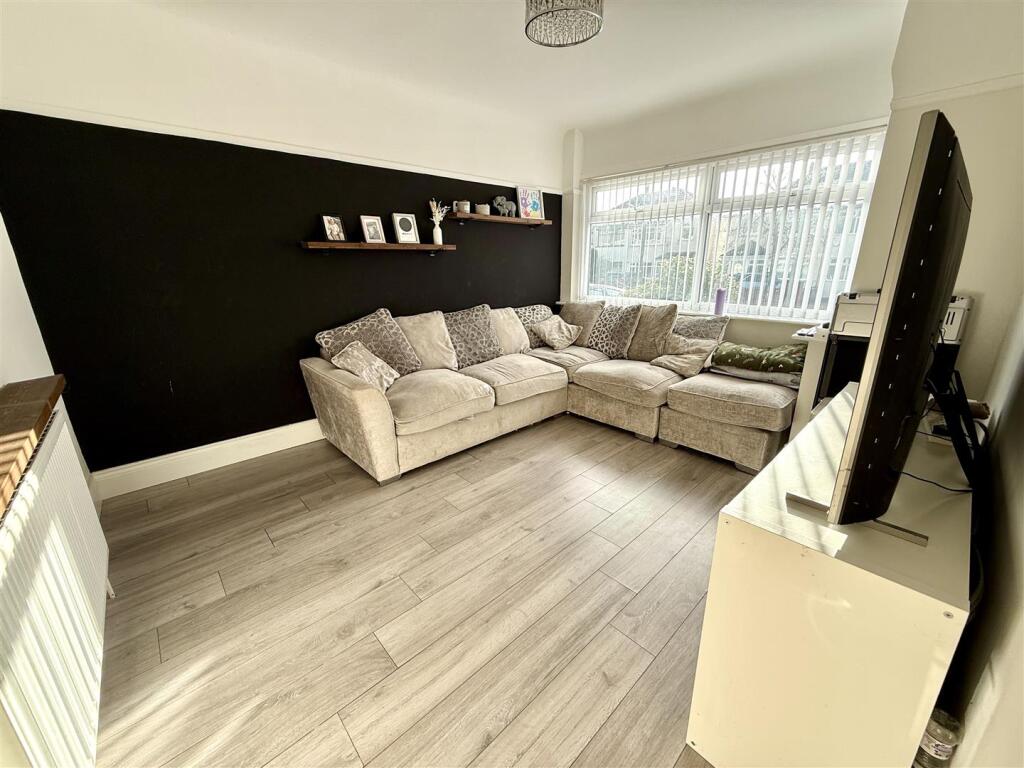
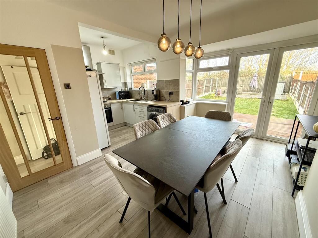
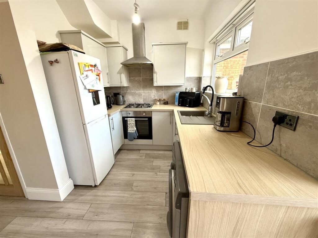
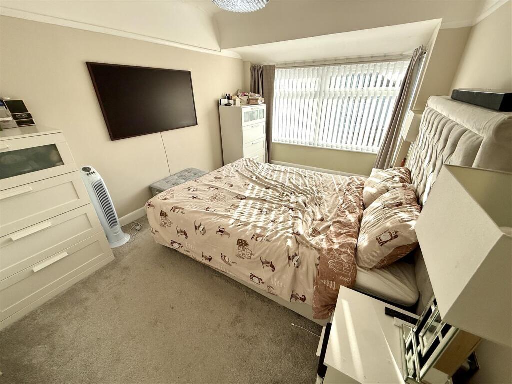
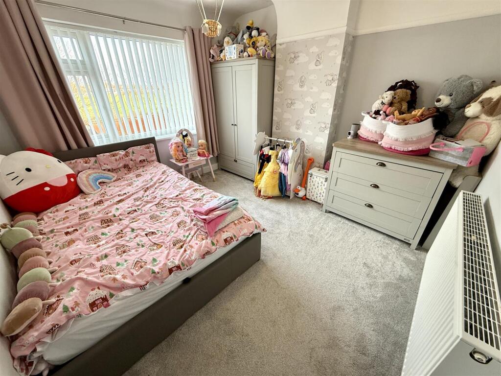
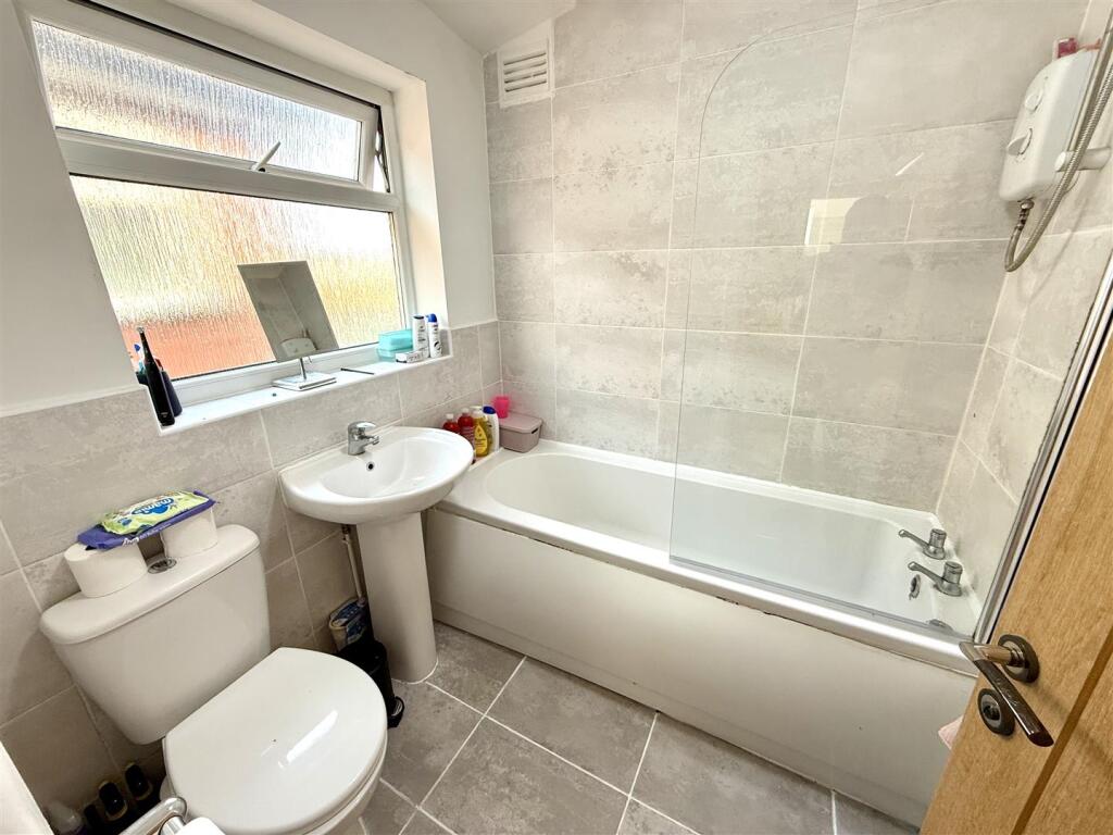
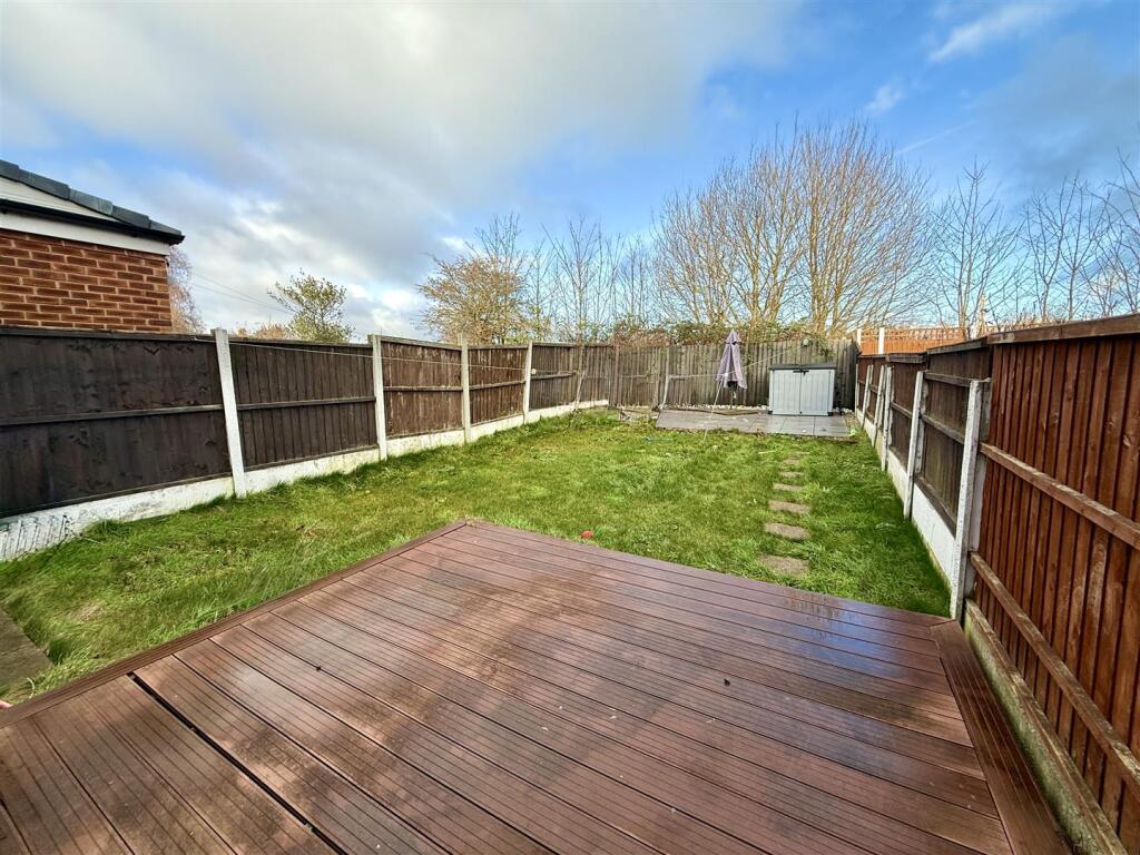
Photos · Open listing
 Open image 1 from listing 87436344
 Open image 2 from listing 87436344
 Open image 3 from listing 87436344
 Open image 4 from listing 87436344
 Open image 5 from listing 87436344
 Open image 6 from listing 87436344
 Open image 7 from listing 87436344
 Open image 8 from listing 87436344
 Open image 9 from listing 87436344
 Open image 10 from listing 87436344
 Open image 11 from listing 87436344
 Open image 12 from listing 87436344
Sold comparables
Same street and nearby sales within 0.25 miles (last 5 years). Land Registry Price Paid Data.
| Address | Price | Date | Type |
|---|---|---|---|
| 40 MAYFAIR AVENUE, BOWRING PARK, LIVERPOOL, KNOWSLEY, MERSEYSIDE, L14 0JZ | £220,000 | 09/01/2026 | Semi-detached |
| 209 HILARY AVENUE, LIVERPOOL, KNOWSLEY, MERSEYSIDE, L14 6UR | £179,550 | 19/12/2025 | Semi-detached |
| 24 GREYSTONE ROAD, BROADGREEN, LIVERPOOL, KNOWSLEY, MERSEYSIDE, L14 6UG | £155,500 | 10/12/2025 | Semi-detached |
| 46 HILARY AVENUE, LIVERPOOL, KNOWSLEY, MERSEYSIDE, L14 6TW | £190,000 | 21/11/2025 | Semi-detached |
| 38 GREYSTONE ROAD, BROADGREEN, LIVERPOOL, KNOWSLEY, MERSEYSIDE, L14 6UG | £116,000 | 21/11/2025 | Semi-detached |
| 19 TURNACRE, KNOTTY ASH, LIVERPOOL, KNOWSLEY, MERSEYSIDE, L14 7QW | £310,000 | 27/08/2025 | Semi-detached |
| 90 HILARY AVENUE, LIVERPOOL, KNOWSLEY, MERSEYSIDE, L14 6US | £180,000 | 20/12/2023 | Semi-detached |
| 28 MAYFAIR AVENUE, BOWRING PARK, LIVERPOOL, KNOWSLEY, MERSEYSIDE, L14 0JZ | £180,000 | 12/12/2023 | Semi-detached |
| 1 GREYSTONE ROAD, BROADGREEN, LIVERPOOL, KNOWSLEY, MERSEYSIDE, L14 6UD | £190,000 | 17/11/2023 | Semi-detached |
| 3 SWANSIDE AVENUE, LIVERPOOL, KNOWSLEY, MERSEYSIDE, L14 7NP | £196,500 | 17/11/2023 | Semi-detached |
| 46 SWANSIDE ROAD, LIVERPOOL, KNOWSLEY, MERSEYSIDE, L14 7NN | £290,000 | 03/11/2023 | Semi-detached |
| 9 ADCOTE CLOSE, LIVERPOOL, KNOWSLEY, MERSEYSIDE, L14 0JB | £151,000 | 20/10/2023 | Semi-detached |
| 9 GREYSTONE ROAD, BROADGREEN, LIVERPOOL, KNOWSLEY, MERSEYSIDE, L14 6UD | £220,000 | 06/10/2023 | Semi-detached |
| 38 HILARY AVENUE, LIVERPOOL, KNOWSLEY, MERSEYSIDE, L14 6TN | £173,000 | 08/09/2023 | Semi-detached |
| 26 MAYFAIR AVENUE, BOWRING PARK, LIVERPOOL, KNOWSLEY, MERSEYSIDE, L14 0JZ | £213,500 | 31/08/2023 | Semi-detached |
| 30 HILARY AVENUE, LIVERPOOL, KNOWSLEY, MERSEYSIDE, L14 6TN | £150,000 | 21/07/2023 | Semi-detached |
| 9 RINGWOOD AVENUE, LIVERPOOL, KNOWSLEY, MERSEYSIDE, L14 6TH | £225,000 | 30/06/2023 | Semi-detached |
| 83 MILTON AVENUE, LIVERPOOL, KNOWSLEY, MERSEYSIDE, L14 6TF | £225,000 | 23/06/2023 | Semi-detached |
| 141 HILARY AVENUE, LIVERPOOL, KNOWSLEY, MERSEYSIDE, L14 6UP | £207,000 | 09/06/2023 | Semi-detached |
| 111 HILARY AVENUE, LIVERPOOL, KNOWSLEY, MERSEYSIDE, L14 6UP | £180,000 | 02/06/2023 | Semi-detached |
Area average: £197,603 (20 sales)
For sale comparables
No active for-sale comparables found within 1 mile for the same bedrooms and property type.
Capital growth trend
Land Registry outcode average: last 12 months vs 5y and 10y ago (from sold prices).
House Price Index (HM Land Registry — official index, not sold-price averages): Knowsley. Series: Semi-detached. As of April 2026.
Rental Range
Estimated market rent for Knowsley. Low = conservative, Realistic = average, Optimistic = best case.
Based on Local Authority from postcode lookup → Knowsley.
LHA (30th percentile) floor for Greater Liverpool: Apr 2025 – Mar 2026
Rental Comparables
Residential lets from OpenRent and Rightmove for the area (same bedroom count). Use to validate rent estimates. Student lets are excluded.
| Title | Rent | Beds | Distance | As seen on |
|---|---|---|---|---|
| 3 Bed Semi-Detached House, Milton Avenue, L14 | £1,000/mo | 3 | 0.02 miles | OpenRent |
| 3 Bed Terraced House, Broadoak Road, L14 | £895/mo | 3 | 0.35 miles | OpenRent |
| 3 Bed Terraced House, Churchdown Road, L14 | £1,000/mo | 3 | 0.47 miles | OpenRent |
| 3 Bed Terraced House, Winstone Road, L14 | £875/mo | 3 | 0.52 miles | OpenRent |
| 3 Bed Terraced House, Alstonfield Road, L14 | £950/mo | 3 | 0.63 miles | OpenRent |
Average rent: £944/mo (5 listings)
Rent-driven metrics
Based on OpenRent comparables.
- This street — Gross yield for this street only (Land Registry sales + rental comparables, same postcode + street).
- Rent ratio — Monthly rent ÷ purchase price (1% rule). 1%+ = strong, 0.8–1% = okay, <0.8% = weak for cashflow.
- Max investor price — Rent ÷ 0.8%; the price at which rent would be 0.8% of price (Stoke-style target).
- Target investor price — Rent ÷ 1%; the price at which rent would be 1% of price (strong cashflow band).
- Gross yield — Annual rent as % of purchase price (no costs).
- Cost-to-rent — Price ÷ annual rent (from OpenRent comparables). Under 14× = strong, 14–16× = acceptable, 17×+ = compressed.
- Cashflow — Rent minus mortgage, 10% maintenance, £25/mo compliance. Assumes 75% LTV, 3.95% APR (5yr fixed), 25yr term.
- ROI — Annual profit ÷ cash in (deposit + 4% purchase costs).
Flood risk
Zone: 1
Risk: Low
Not in Flood Risk Area (no data)
Street-level crime
| Category | Count |
|---|---|
| Violence and sexual offences | 80 |
| Anti-social behaviour | 21 |
| Criminal damage and arson | 17 |
| Drugs | 16 |
| Public order | 16 |
| Other theft | 14 |
| Burglary | 6 |
| Possession of weapons | 4 |
| Shoplifting | 4 |
| Vehicle crime | 4 |
| Other crime | 3 |
| Robbery | 3 |
| Bicycle theft | 2 |
| Theft from the person | 2 |
| Total incidents | 192 |
Within 1 mile during May 2026. Source: data.police.uk (England & Wales).
Schools nearby
Nearest open schools with Ofsted ratings (England). Closed schools are not shown. Data from Get Information about Schools and Ofsted.
| Name | Type | Distance | Ofsted |
|---|---|---|---|
| St Margaret Mary's Catholic Junior School | Primary | 0.2 miles | Good — 12 Jan 2015 |
| St Margaret Mary's Catholic Infant School | Primary | 0.2 miles | Good — 24 Dec 2014 |
| Malvern Primary School | Primary | 0.2 miles | Good — 13 Jun 2011 |
| Clifford Holroyde Specialist Sen College | Other | 0.4 miles | Good — 17 Dec 2014 |
| Dovecot Primary School | Primary | 0.5 miles | Requires improvement — 11 Jul 2024 |
FENSA
No FENSA certificates found for this address.