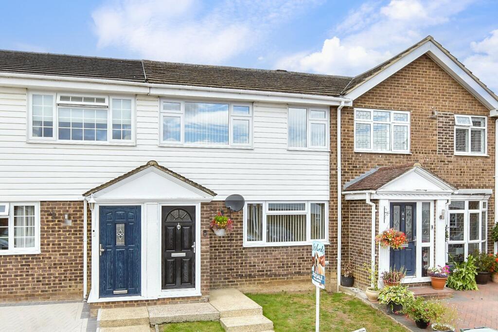
44 APPLE CLOSE
SNODLAND, TONBRIDGE AND MALLING, KENT, ME6 5JP
£325,000
Location
Nearby
Nearest stations, universities and amenities (distance from property).
| Type | Name | Distance |
|---|---|---|
| Shop | Ham Hill Stores | 0.1 miles |
| Bus stop | Freemasons Arms | 0.1 miles |
| Train station | Snodland | 0.8 miles |
| Hospital | The Somerfield Hospital | 4.2 miles |
| University | University for the Creative Arts, Maidstone TV Studios | 4.3 miles |
Property details
Tenure
Freehold
Property type
Flat
Bedrooms
3
Bathrooms
1
Floor area
68 m²
EPC rating
C
Year built
England and Wales: 1967-1975
Last sold
£325,000 Jan 2026
Price per m²
£4,779/m²
Local average
£259,283 (6 sales)
Street crime
106 incidents within 1 mile (May 2026)
EPC Rating & Upgrade Cost
Current rating: C
Potential rating: B
Inspection date: 10/09/2025
Expiry date: 09/09/2035
Current heating cost: £513/year
Potential heating cost: £435/year
Est. upgrade cost to C: £9,235
Recommendations
- Upgrade heating controls (£220 - £250)
- Solar photovoltaic panels, 2.5 kWp (£8,000 - £10,000)
Price history
| Event | Date | Price | Type | % change | Today’s value (HPI) | Action |
|---|---|---|---|---|---|---|
| Sold | 30/01/2026 | £325,000 | Flat | +47.7% | £321,483 to April 2026 | View transaction |
| Sold | 22/09/2016 | £220,000 | Flat | +36.6% | £239,096 to April 2026 | View transaction |
| Sold | 23/09/2013 | £161,000 | Flat | — | £233,578 to April 2026 | View transaction |
Historic listings
Listing and sale events only where we matched the listing page to a Land Registry sale already on record for this address.
| Event | Date | Price |
|---|---|---|
| sold | 01/01/2026 | £325,000 |
| listed | 15/09/2025 | £325,000 |
| sold | 01/01/2016 | £220,000 |
| sold | 01/01/2013 | £161,000 |
| sold | 01/01/2003 | £151,500 |
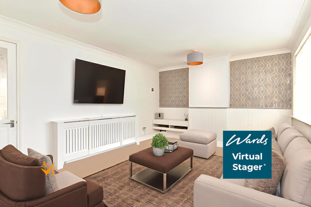
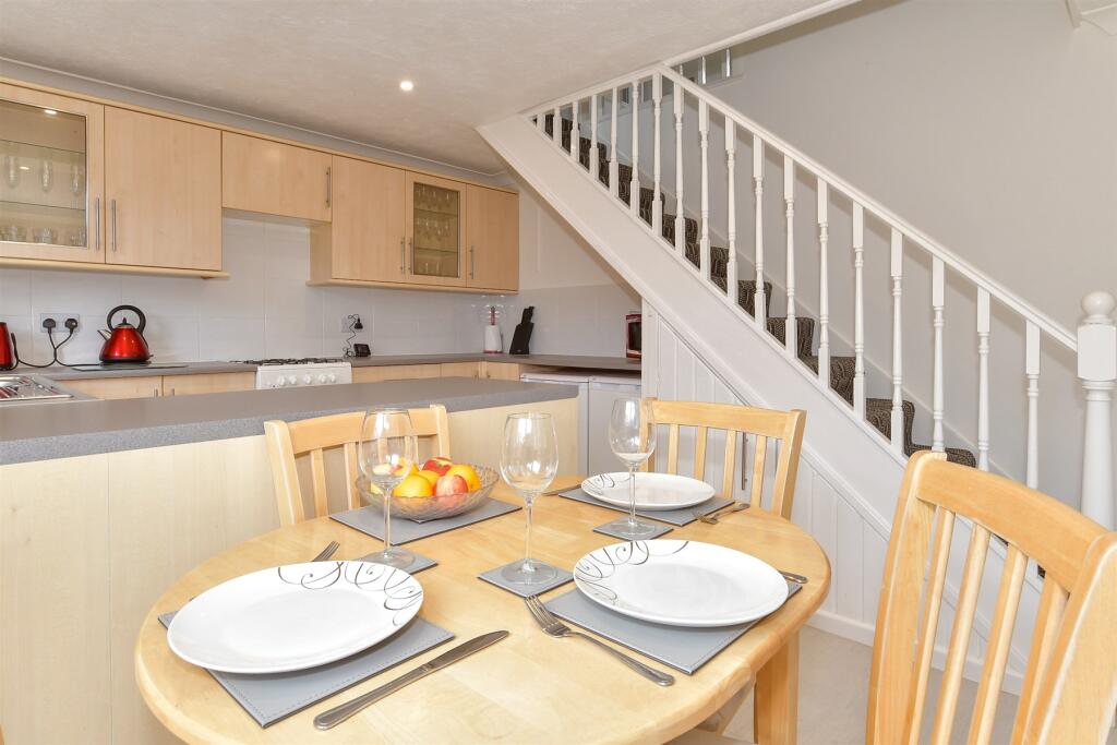
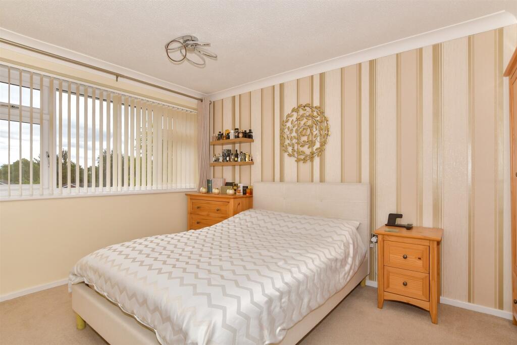
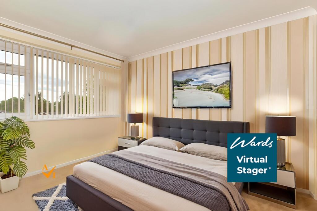
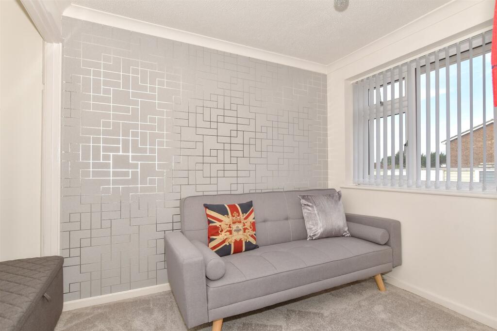
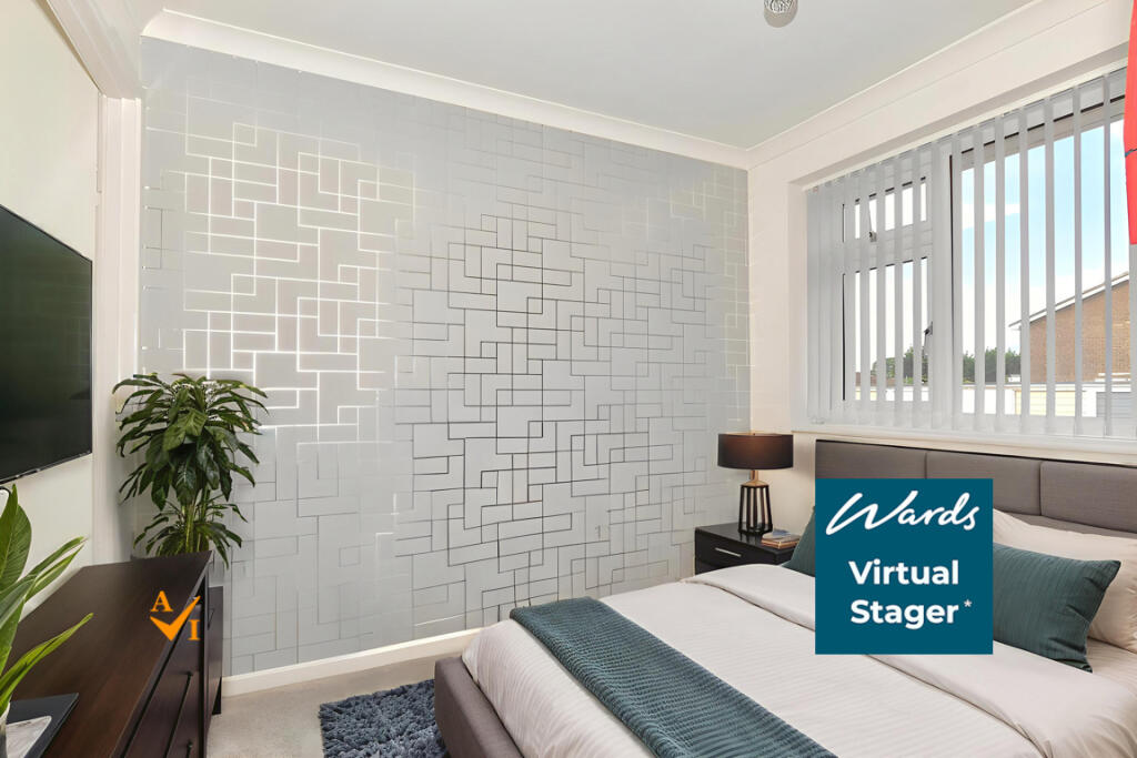
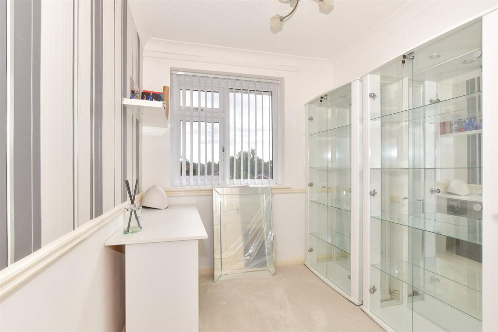
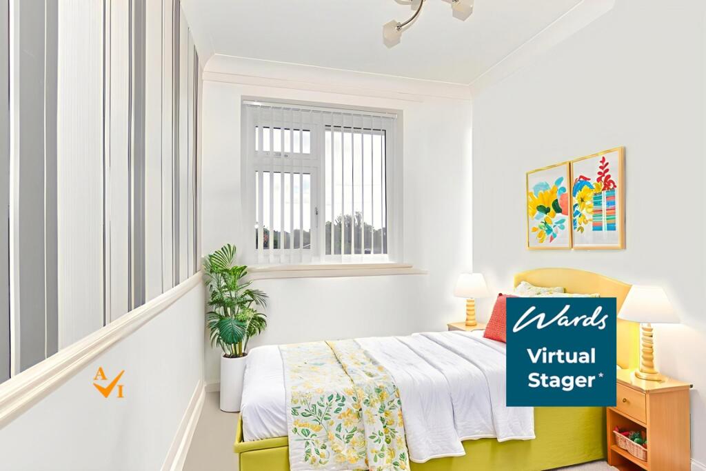
Photos · Open listing
 Open image 1 from listing 167004545
 Open image 2 from listing 167004545
 Open image 3 from listing 167004545
 Open image 4 from listing 167004545
 Open image 5 from listing 167004545
 Open image 6 from listing 167004545
 Open image 7 from listing 167004545
 Open image 8 from listing 167004545
 Open image 9 from listing 167004545
 Open image 10 from listing 167004545
 Open image 11 from listing 167004545
 Open image 12 from listing 167004545
Sold comparables
Same street and nearby sales within 0.25 miles (last 5 years). Land Registry Price Paid Data.
| Address | Price | Date | Type |
|---|---|---|---|
| 55 SIMPSON ROAD, SNODLAND, TONBRIDGE AND MALLING, KENT, ME6 5QE | £157,000 | 31/08/2022 | Flat |
| DENE HALL, 269 FLAT 2 MALLING ROAD, SNODLAND, TONBRIDGE AND MALLING, KENT, ME6 5LB | £170,000 | 23/03/2022 | Flat |
| 292A FLAT 1 MALLING ROAD, SNODLAND, TONBRIDGE AND MALLING, KENT, ME6 5JJ | £180,000 | 08/03/2022 | Flat |
Area average: £169,000 (3 sales)
For sale comparables
No active for-sale comparables found within 1 mile for the same bedrooms and property type.
Capital growth trend
Land Registry outcode average: last 12 months vs 5y and 10y ago (from sold prices).
House Price Index (HM Land Registry — official index, not sold-price averages): Tonbridge and Malling. Series: Flats and maisonettes. As of April 2026.
Rental Range
Estimated market rent for Tonbridge and Malling. Low = conservative, Realistic = average, Optimistic = best case.
Based on Local Authority from postcode lookup → Tonbridge and Malling.
LHA (30th percentile) floor for Maidstone: Apr 2025 – Mar 2026
Rental Comparables
Residential lets from OpenRent and Rightmove for the area (same bedroom count). Use to validate rent estimates. Student lets are excluded.
| Title | Rent | Beds | Distance | As seen on |
|---|---|---|---|---|
| 3 Bed Penthouse, Larkfield, ME20 | £2,200/mo | 3 | 0.59 miles | OpenRent |
| 3 Bed Terraced House, Ingram Close, ME20 | £1,750/mo | 3 | 0.85 miles | OpenRent |
Average rent: £1,975/mo (2 listings)
Rent-driven metrics
Based on OpenRent comparables.
- Rent ratio — Monthly rent ÷ purchase price (1% rule). 1%+ = strong, 0.8–1% = okay, <0.8% = weak for cashflow.
- Max investor price — Rent ÷ 0.8%; the price at which rent would be 0.8% of price (Stoke-style target).
- Target investor price — Rent ÷ 1%; the price at which rent would be 1% of price (strong cashflow band).
- Gross yield — Annual rent as % of purchase price (no costs).
- Cost-to-rent — Price ÷ annual rent (from OpenRent comparables). Under 14× = strong, 14–16× = acceptable, 17×+ = compressed.
- Cashflow — Rent minus mortgage, 10% maintenance, £25/mo compliance. Assumes 75% LTV, 3.95% APR (5yr fixed), 25yr term.
- ROI — Annual profit ÷ cash in (deposit + 4% purchase costs).
Flood risk
Zone: 1
Risk: Low
Not in Flood Risk Area (no data)
Street-level crime
| Category | Count |
|---|---|
| Anti-social behaviour | 37 |
| Violence and sexual offences | 32 |
| Criminal damage and arson | 8 |
| Other theft | 6 |
| Shoplifting | 6 |
| Vehicle crime | 5 |
| Burglary | 4 |
| Public order | 4 |
| Other crime | 2 |
| Drugs | 1 |
| Robbery | 1 |
| Total incidents | 106 |
Within 1 mile during May 2026. Source: data.police.uk (England & Wales).
Schools nearby
Nearest open schools with Ofsted ratings (England). Closed schools are not shown. Data from Get Information about Schools and Ofsted.
| Name | Type | Distance | Ofsted |
|---|---|---|---|
| Grow 19 LTD | Other | 0.2 miles | — (No rating) |
| The Holmesdale School | Secondary | 0.2 miles | Requires improvement — 13 Sep 2021 |
| St Katherine's School & Nursery | Primary | 0.4 miles | Good — 10 Mar 2024 |
| Snodland CofE Primary School | Primary | 0.7 miles | Good — 5 Dec 2012 |
| Valley Invicta Primary School at Holborough Lakes | Primary | 1.0 miles | Good — 29 Oct 2018 |
FENSA
Window and door installation certificates found for this address.
| Issued | Work completed | Windows | Doors |
|---|---|---|---|
| 01/06/2015 | 02/04/2015 | 4 | — |
| 22/12/2014 | 06/12/2014 | 2 | — |
| 25/08/2014 | 15/08/2014 | — | 1 |
| 01/07/2014 | 21/06/2014 | 1 | — |
| 03/02/2014 | 13/01/2014 | — | 1 |